Elevation of 2 Creek View Ln, Ararat, VA, USA
Location: United States > Virginia > Ararat >
Longitude: -80.603164
Latitude: 36.6120237
Elevation: 437m / 1434feet
Barometric Pressure: 96KPa
Elevation Map:
Satellite Map:
Related Photos:

Bright Leaf Drive-In, Mt. Airy, NC, 2000
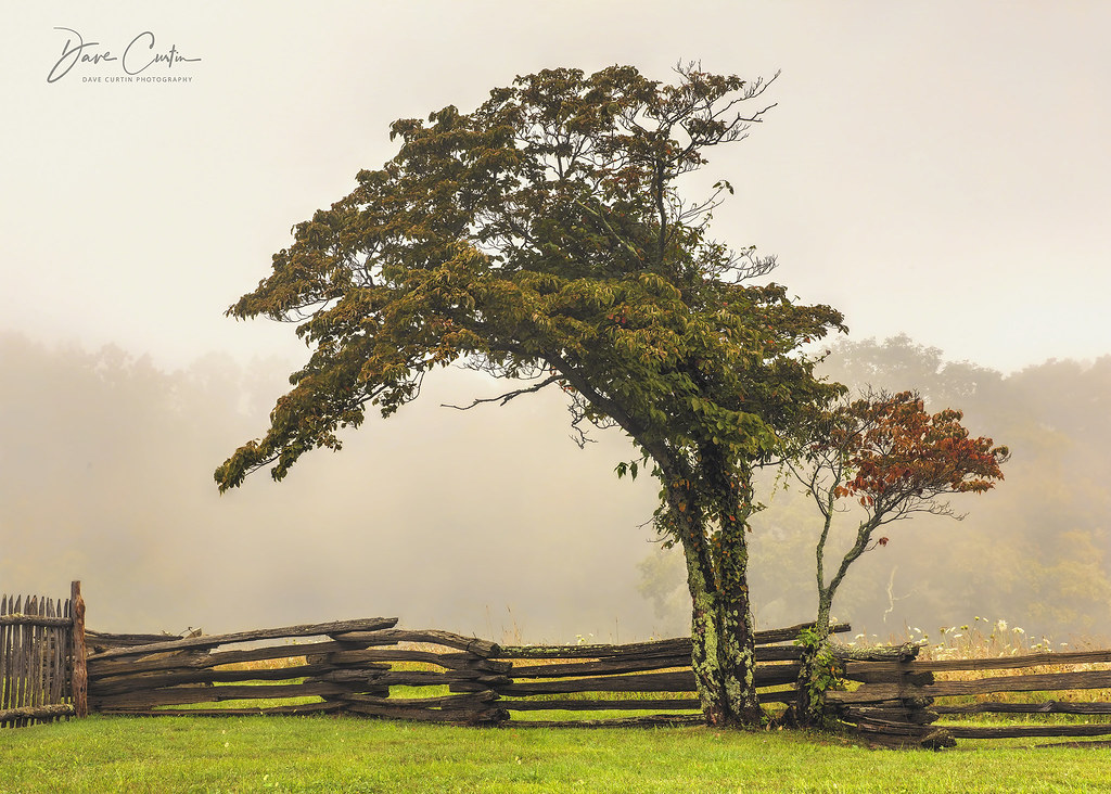
Alone in the Fog

Starry swirl on the Blue Ridge Parkway.
view-
PARKWAY VIEW

North Carolina | Mount Airy
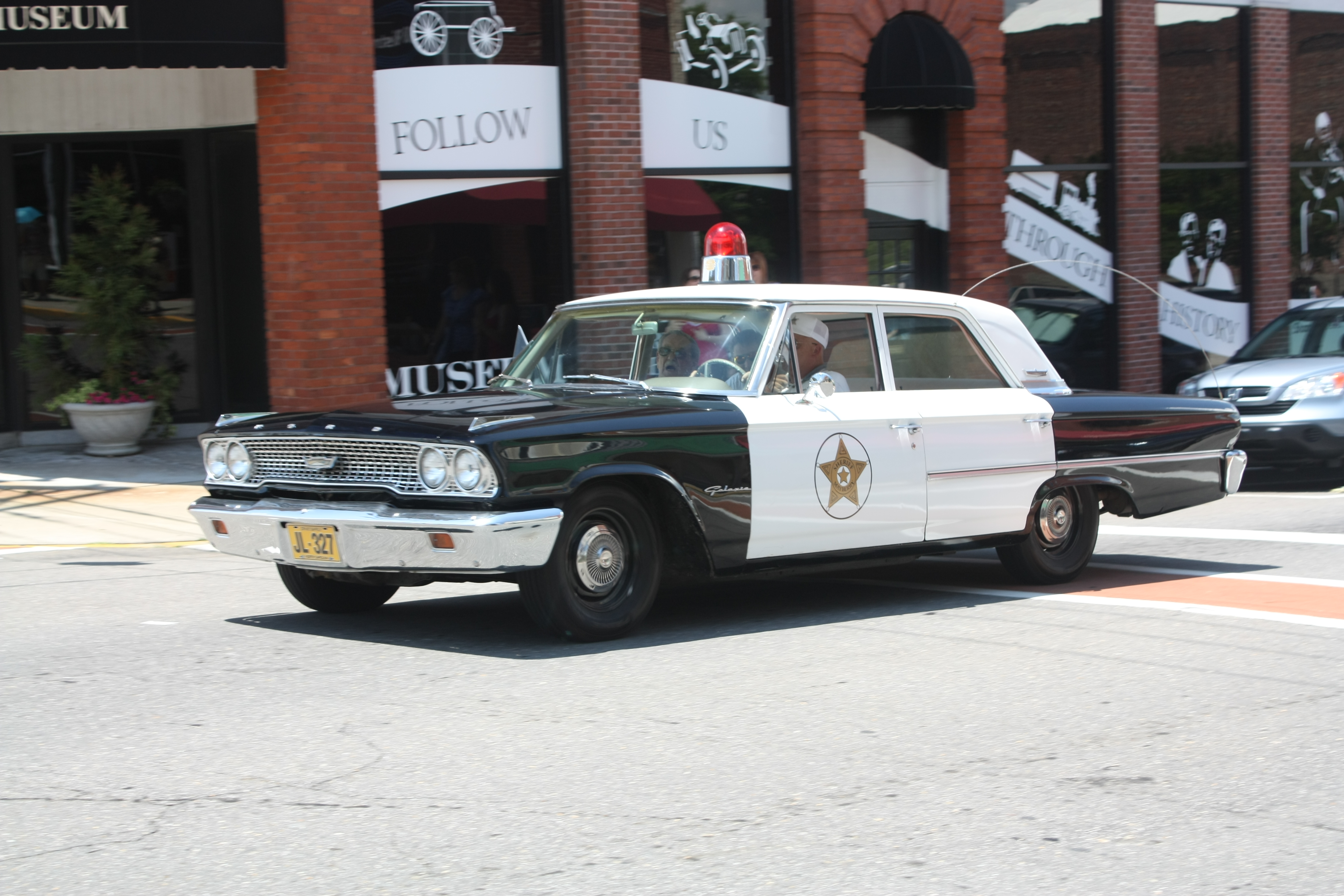
Mayberry Police Car
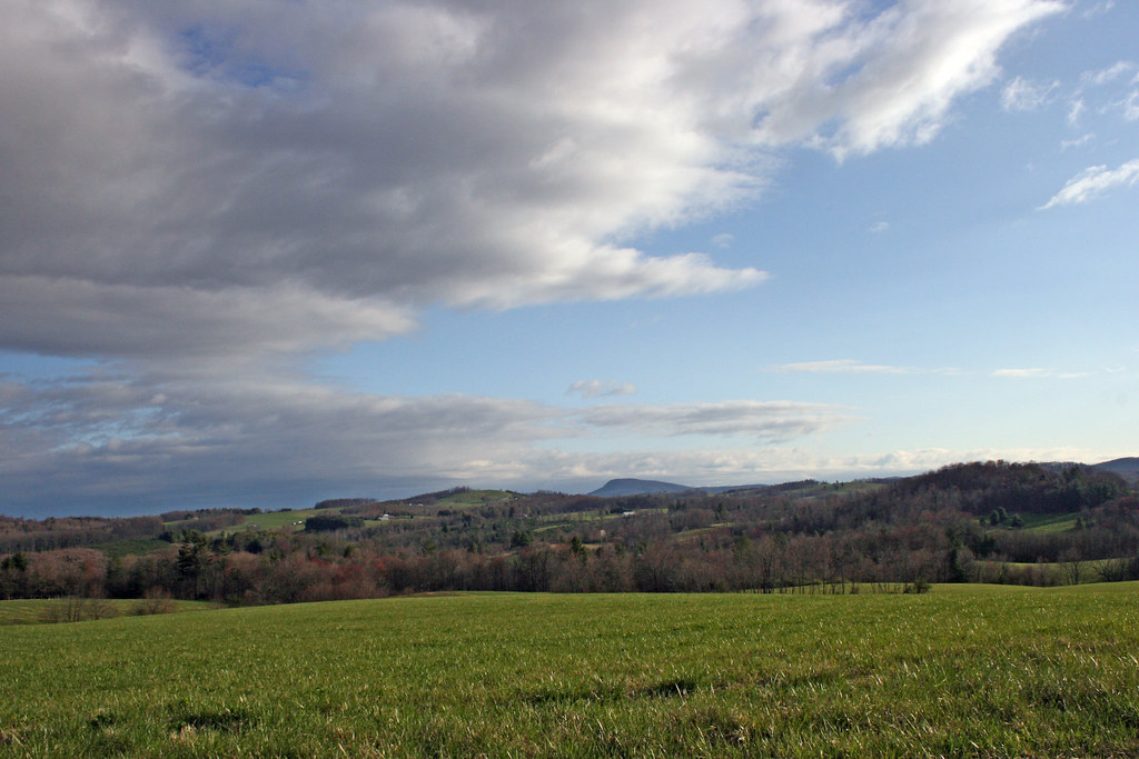
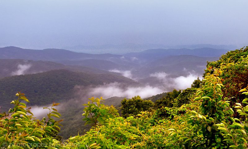
The Rolling Blue Ridge Mountians
View from the J. Sidna Allen House, Fancy Gap, Virginia
Nice view
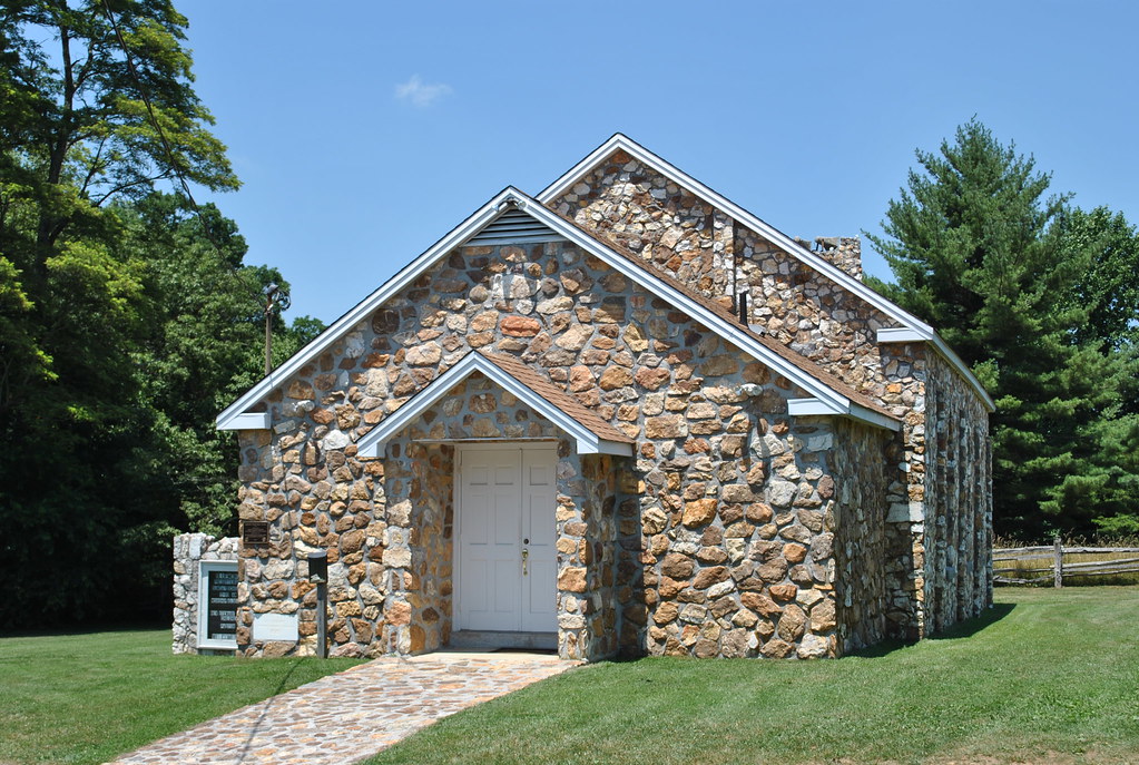
BLUEMONT PRESBYTERIAN CHURCH
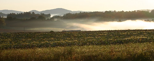
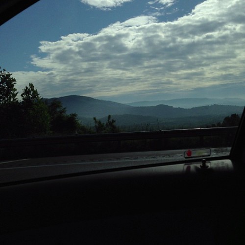
the morning fog
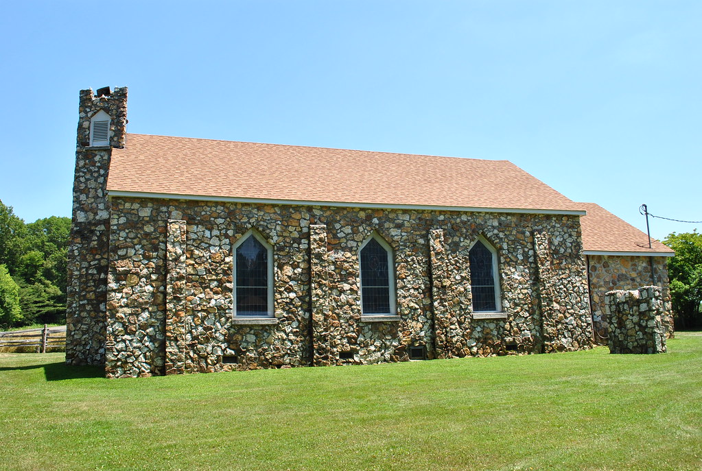
BLUEMONT PRESBYTERIAN CHURCH
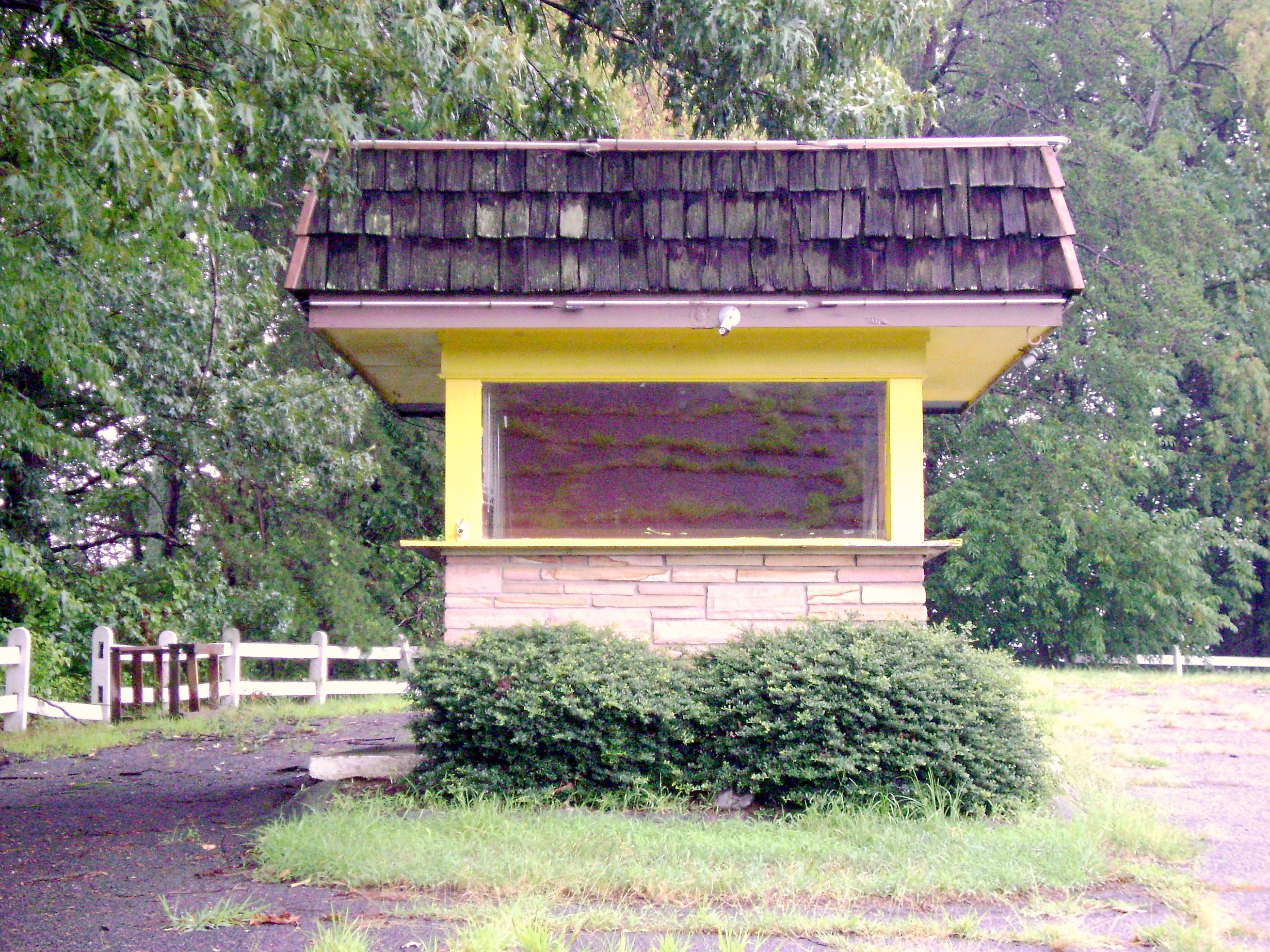
Bright Leaf Drive In, Mt Airy NC, Surry County, Closed

Bright Leaf Drive In, Mt Airy NC, Surry County, Closed
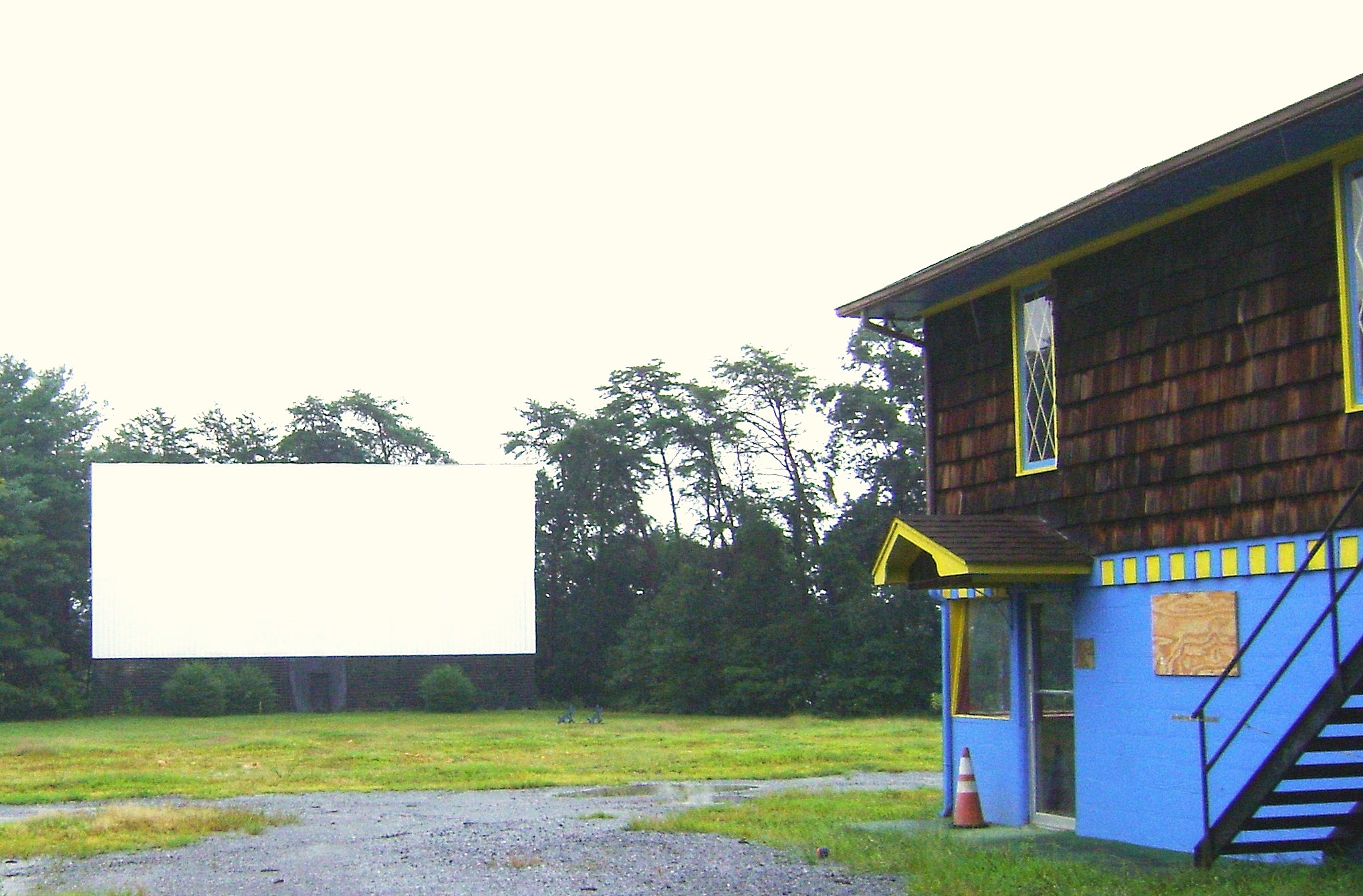
Bright Leaf Drive In, Mt Airy NC, Surry County, Closed

Granite Headquarters
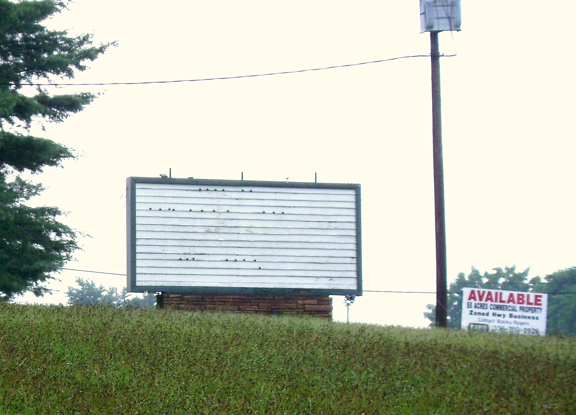
Bright Leaf Drive In, Mt Airy NC, Surry County, Closed
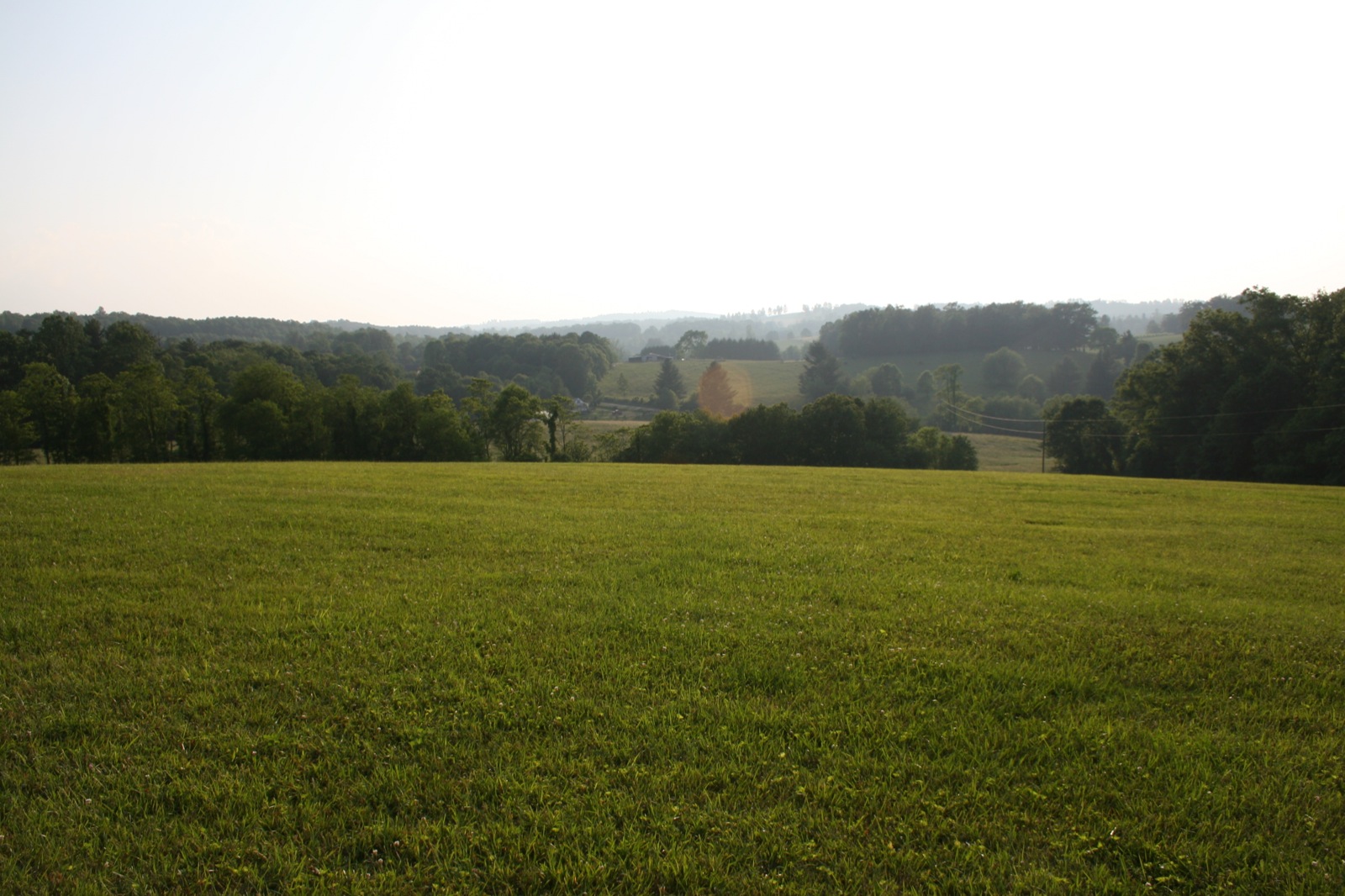
View from the porch
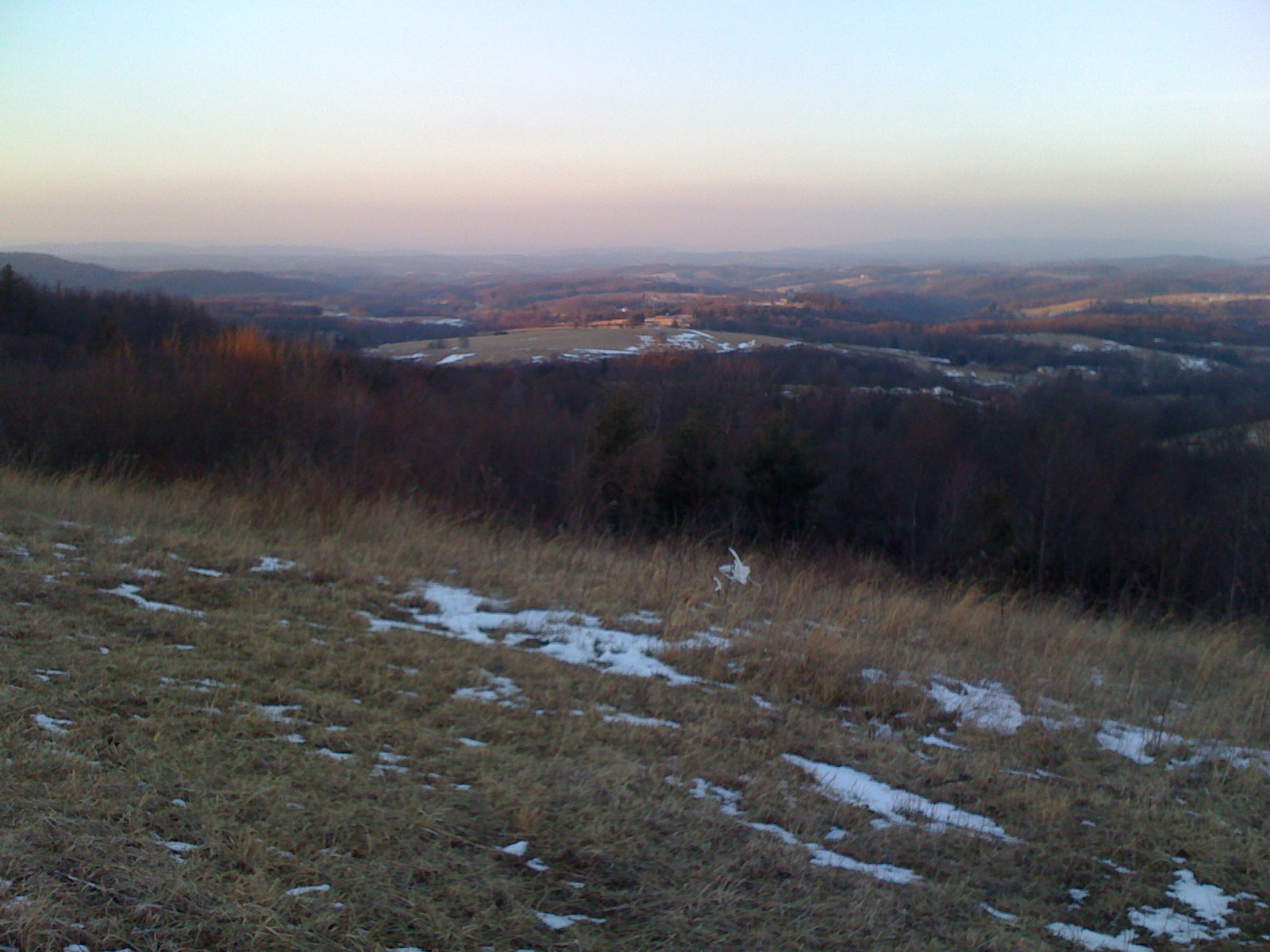
View from Beamer's Knob
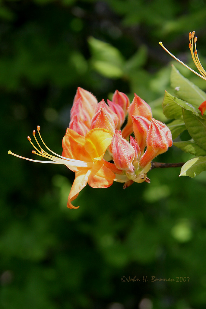
Flame azalea, opening
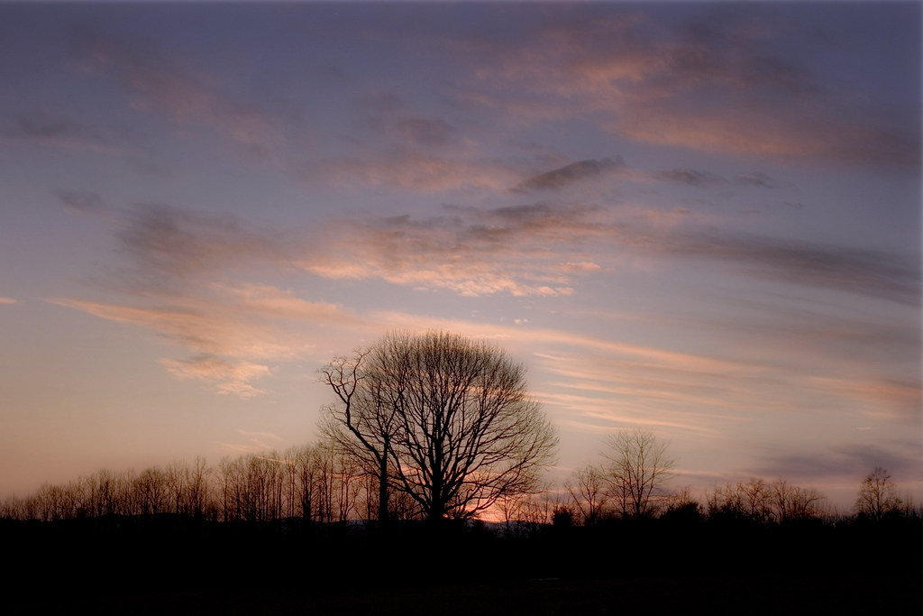
Dreamy sunset
img000925.png
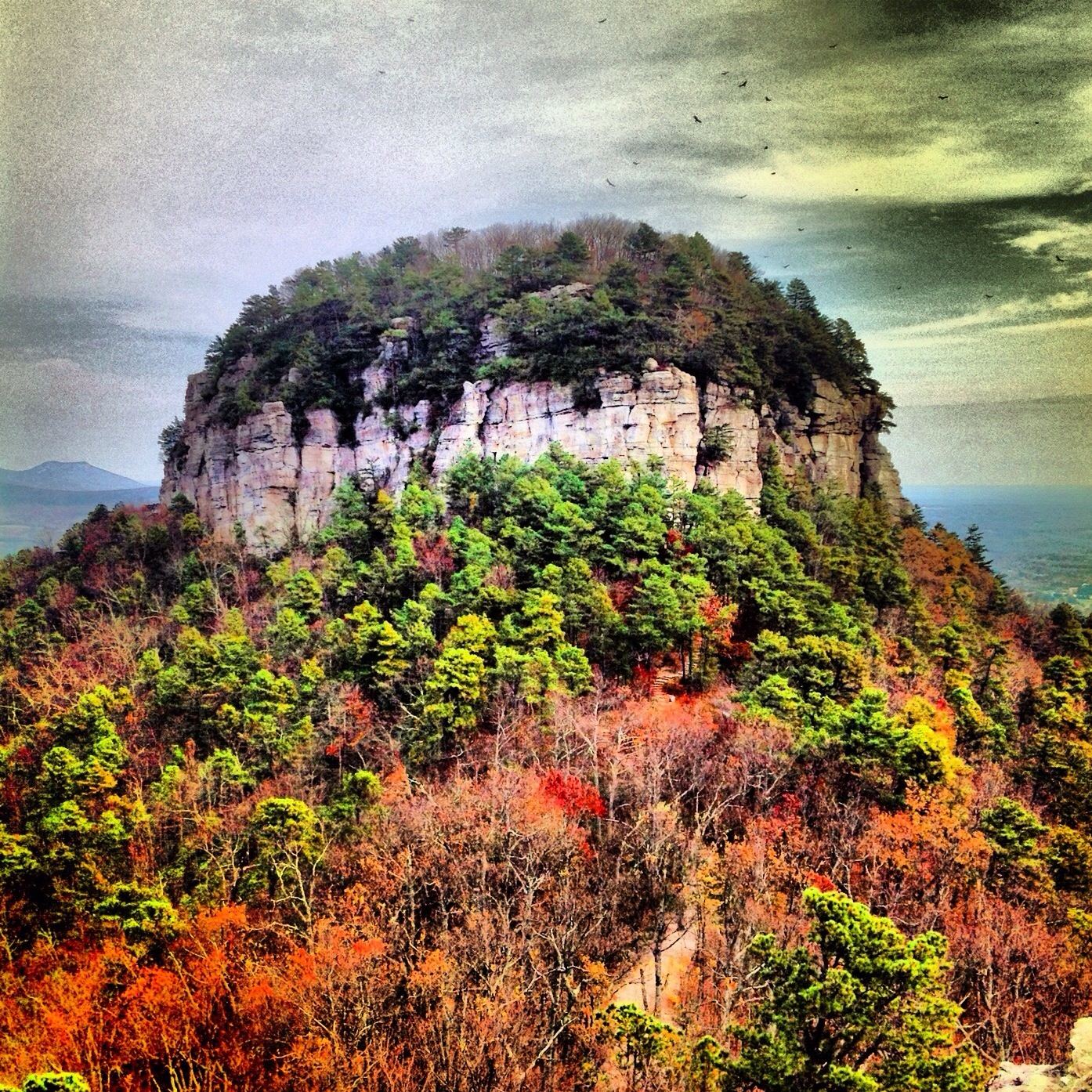
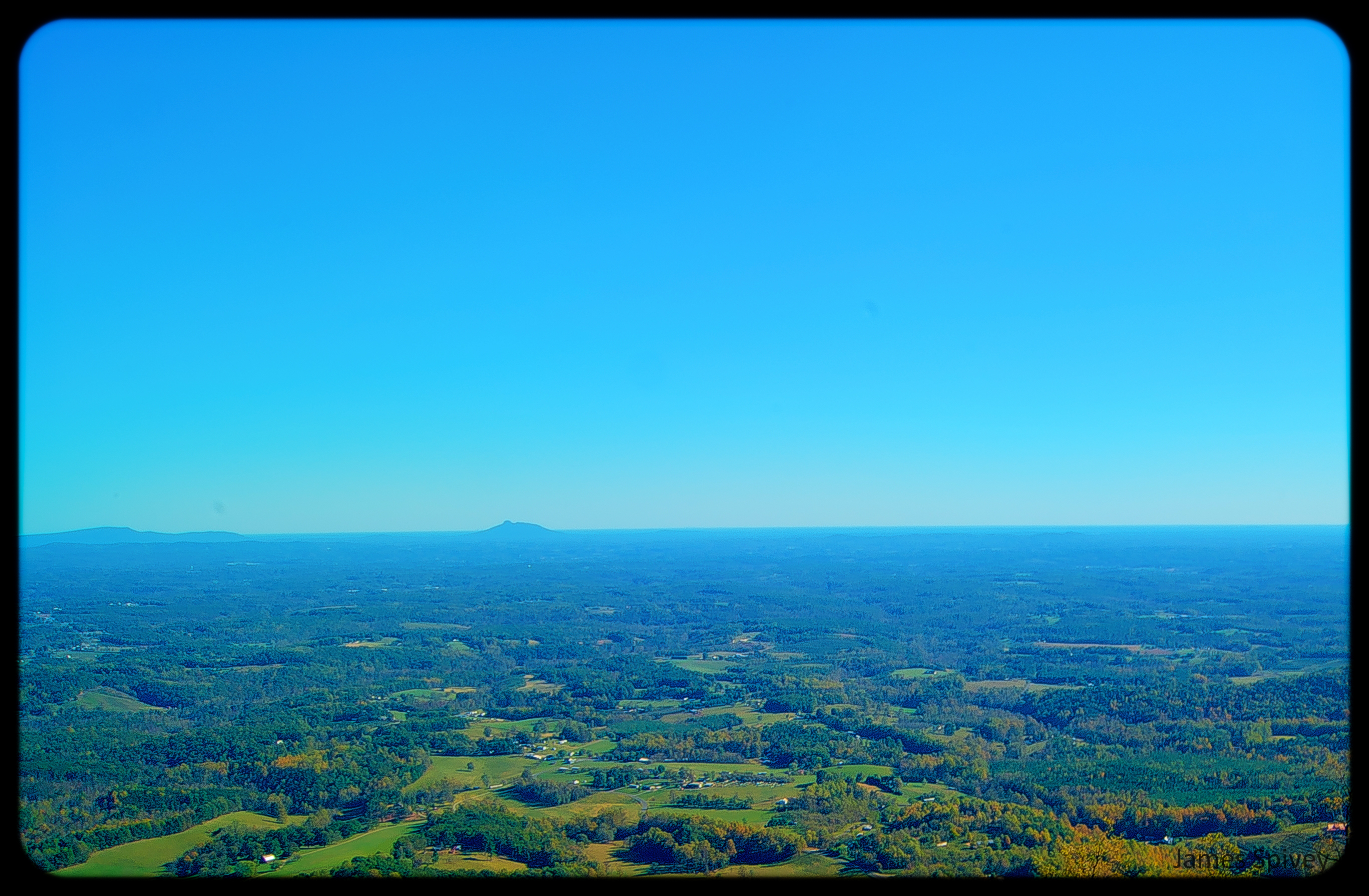
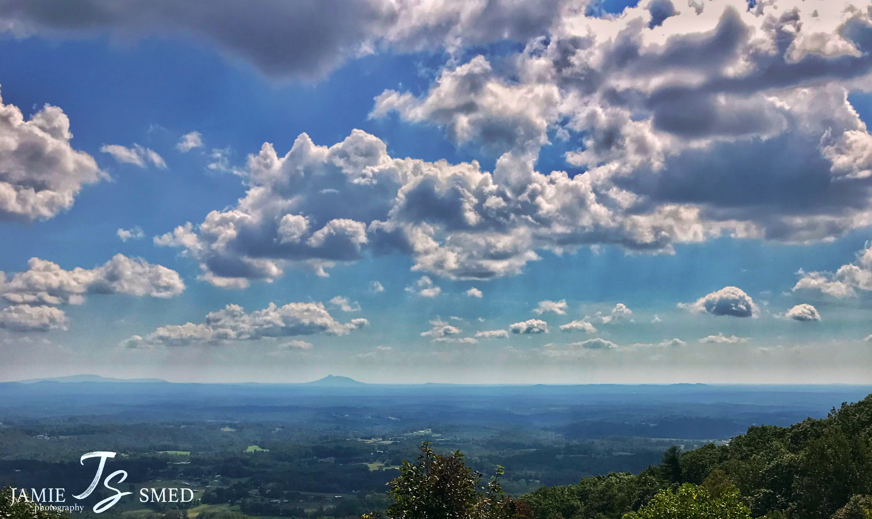
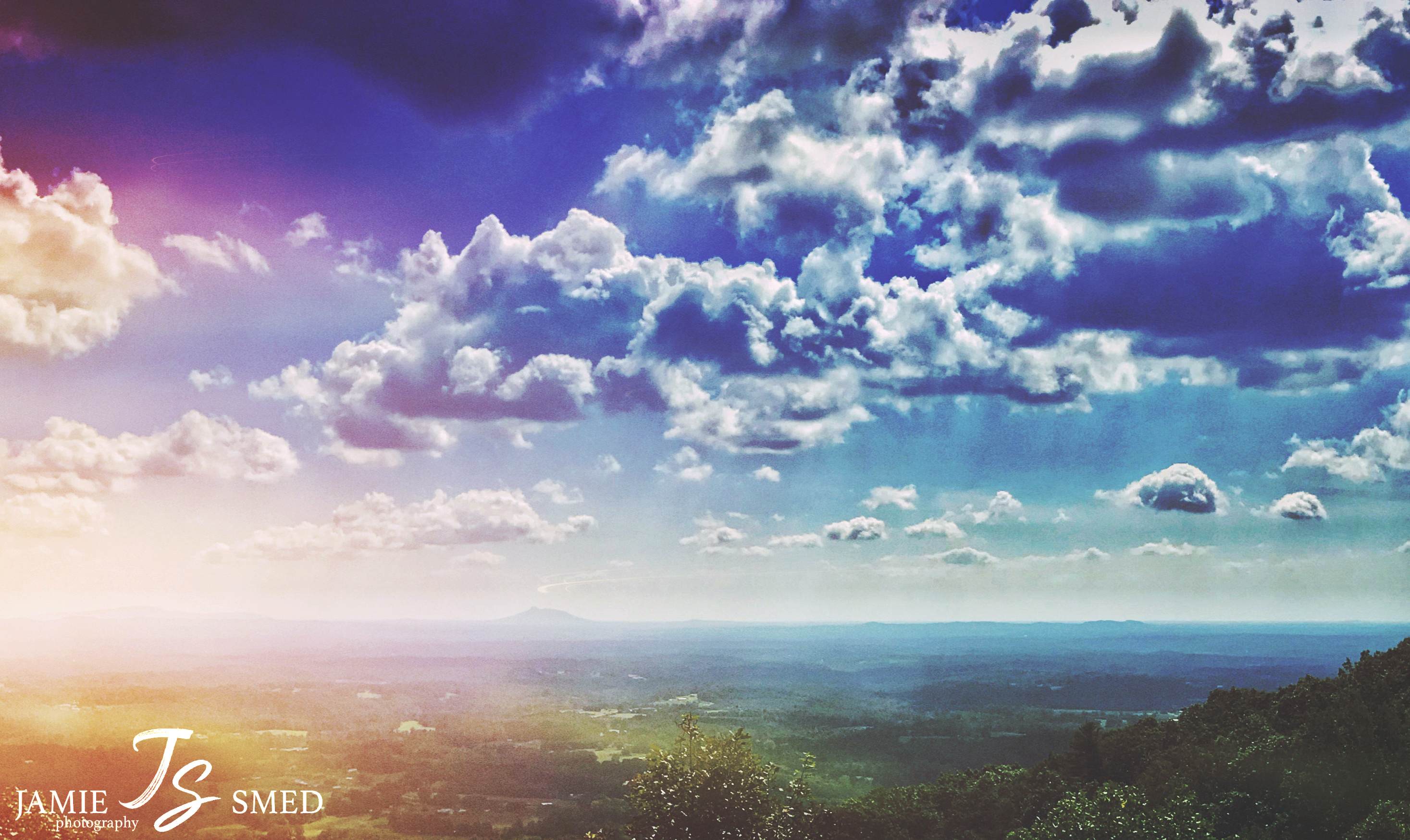
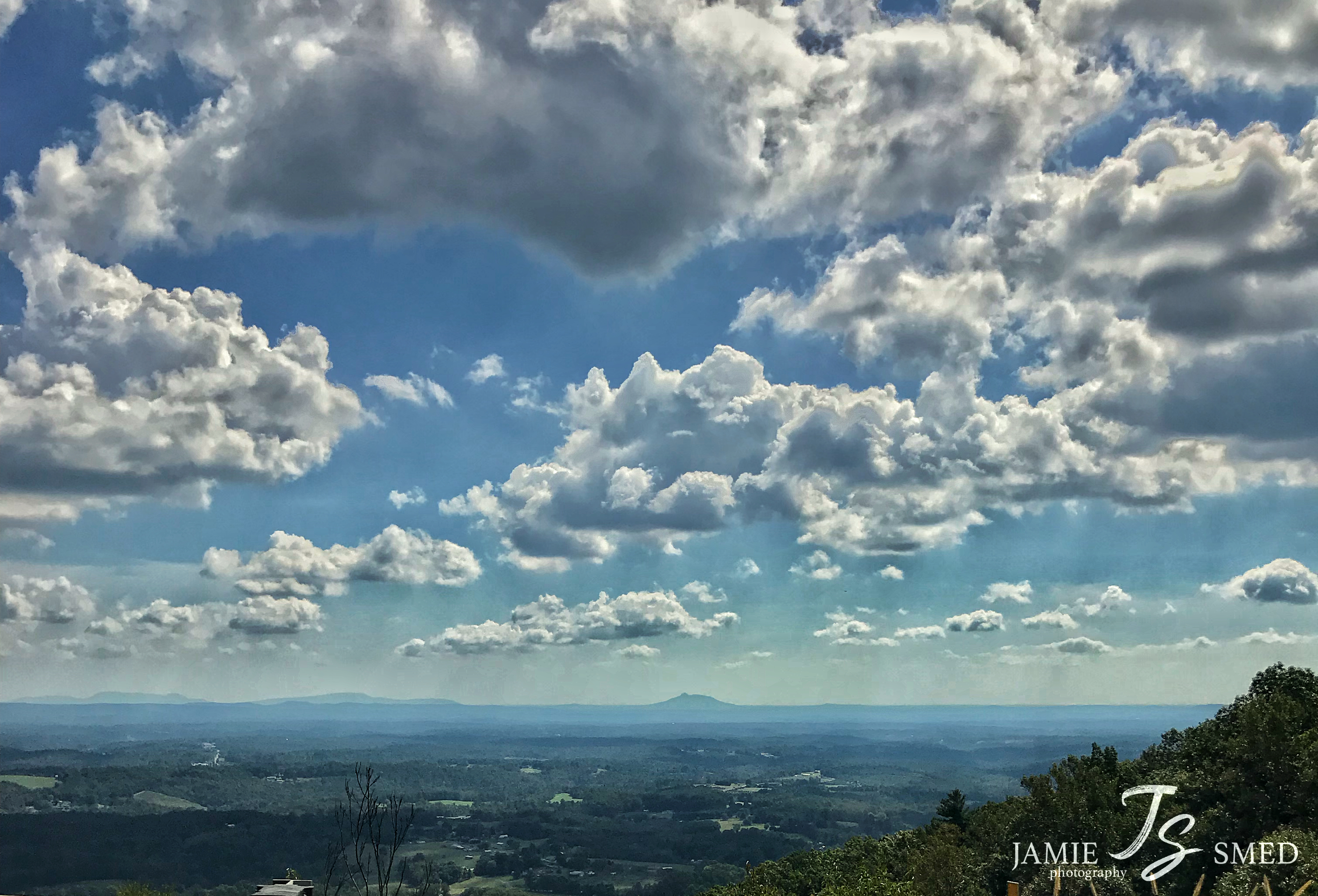
Mount Pilot
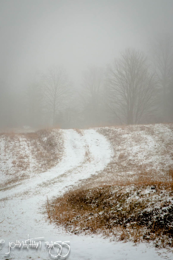
Snowy Path to the Fog
IMG_5968.JPG
IMG_6092.JPG
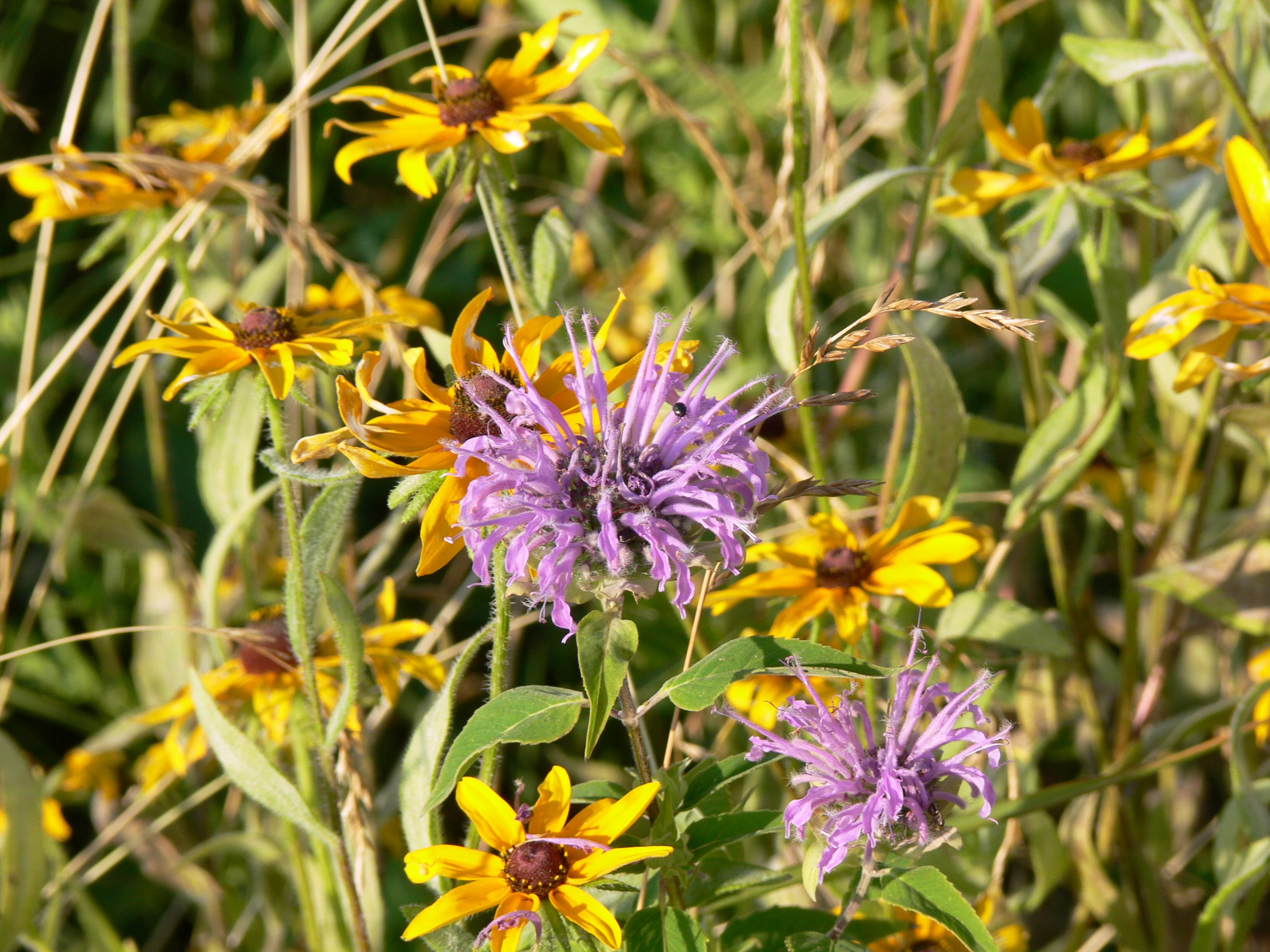
bee balm and daisies

Those cattle are gonna be so frustrated when they can't get the blister packaging open.

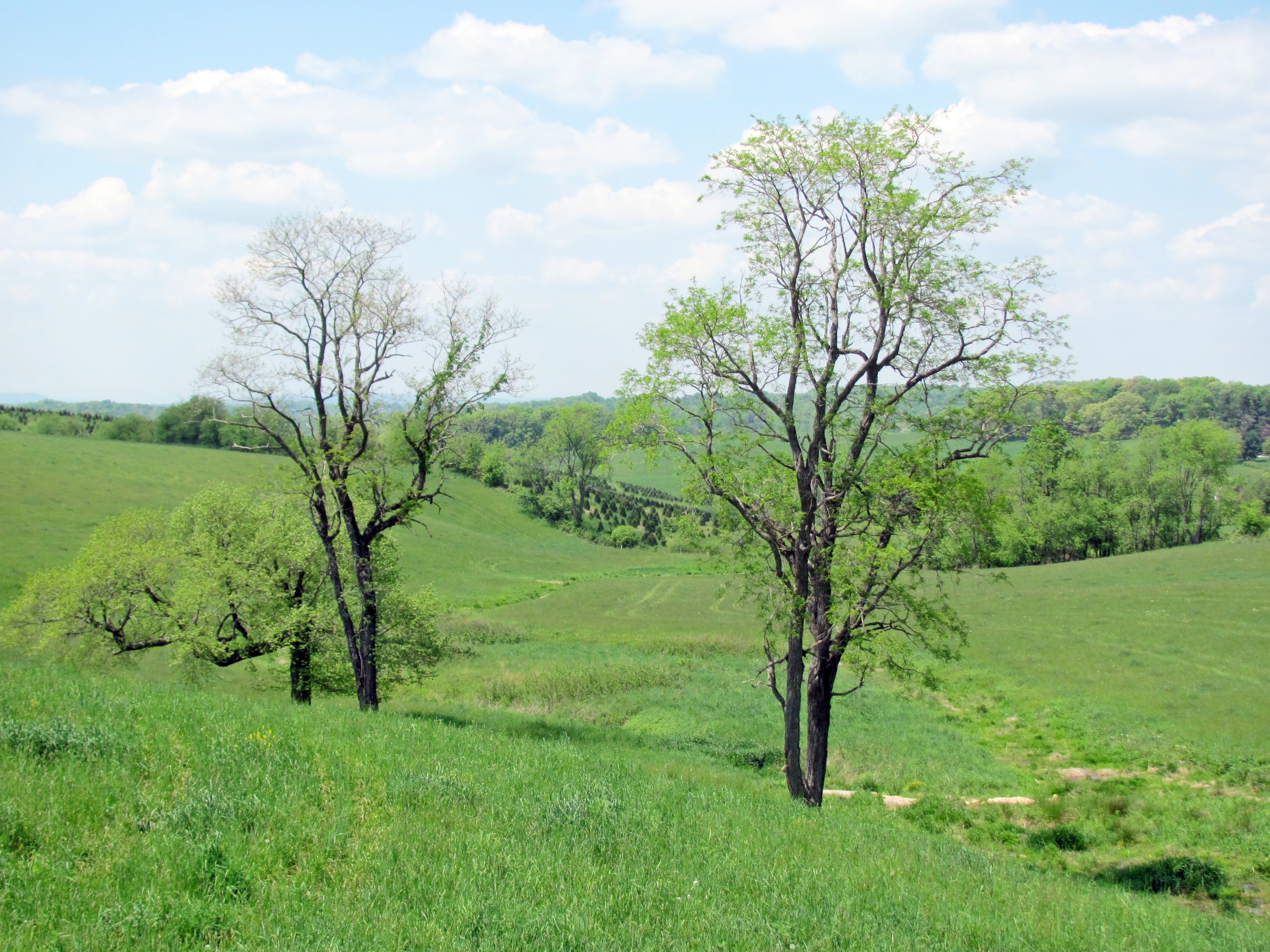
Fading Farmstead
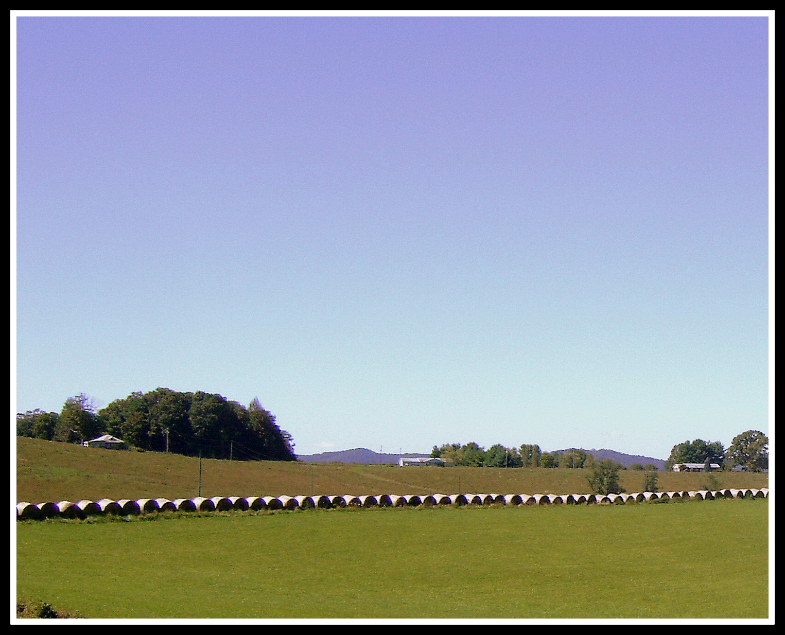
Hay Rolls, Fancy Gap Va, Carroll County
IMG_4125.JPG

IMG_2201.JPG

img000916.png

State Line Sunset

Walk Into The Sun
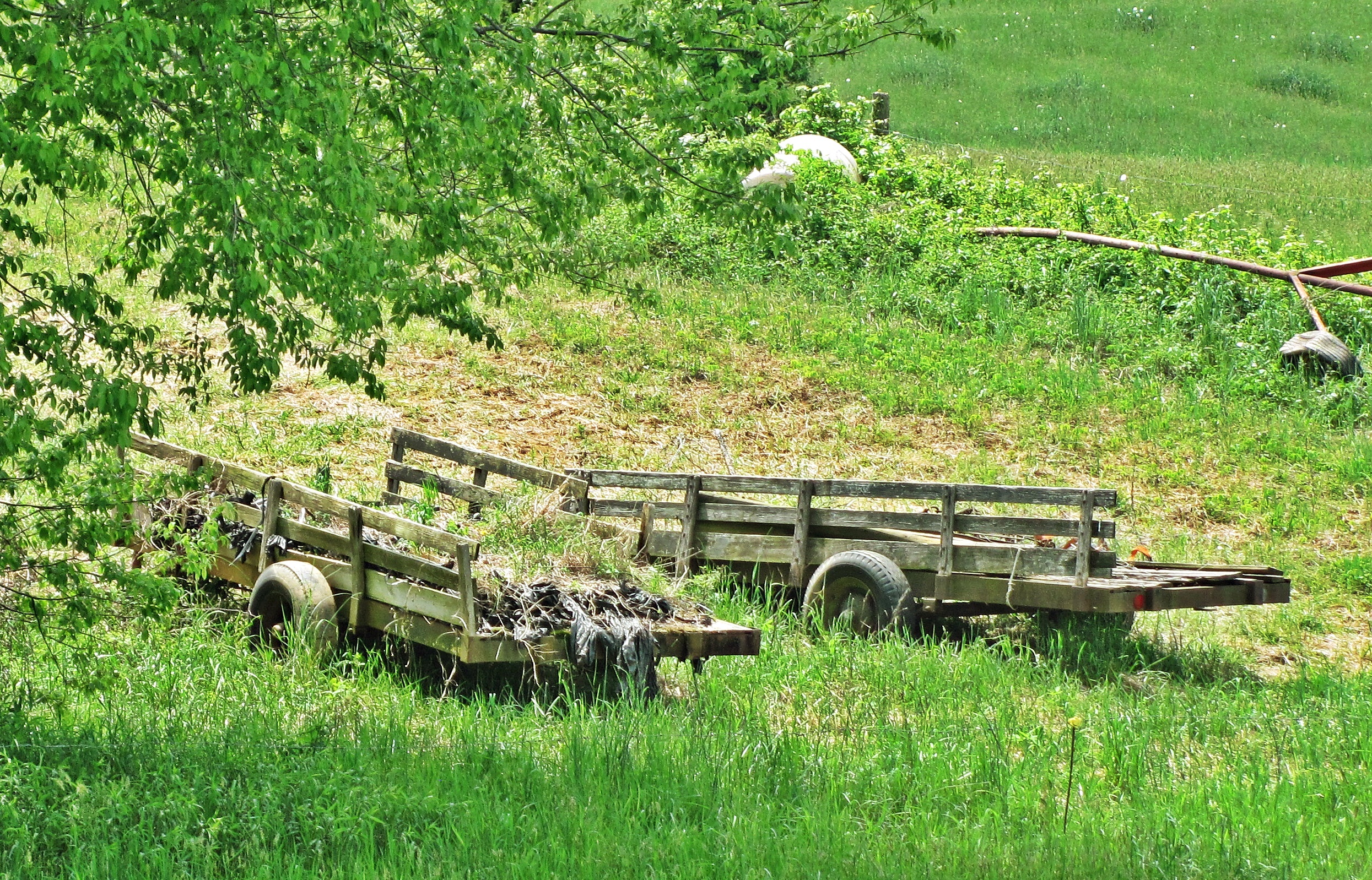
Farm Wagons
Topographic Map of 2 Creek View Ln, Ararat, VA, USA
Find elevation by address:

Places near 2 Creek View Ln, Ararat, VA, USA:
Marshall Ridge Road
Old School House Road
5512 Wards Gap Rd
4 Little Rock Rd
1315 Little Rock Rd
Haynes Garage
Little Rock Road
Valley End Road
14 Lucas Rd
Valley End Road
239 Janice Ln
Bald Rock Mountain Lane
7477 Wards Gap Rd
367 Rabbit Ridge Rd
Indian Fork Road
1238 Timber Rd
587 Rabbit Ridge Rd
Boundary Road
1931 Willis Gap Rd
Bluemont Presbyterian Church
Recent Searches:
- Elevation of Côte-des-Neiges, Montreal, QC H4A 3J6, Canada
- Elevation of Bobcat Dr, Helena, MT, USA
- Elevation of Zu den Ihlowbergen, Althüttendorf, Germany
- Elevation of Badaber, Peshawar, Khyber Pakhtunkhwa, Pakistan
- Elevation of SE Heron Loop, Lincoln City, OR, USA
- Elevation of Slanický ostrov, 01 Námestovo, Slovakia
- Elevation of Spaceport America, Co Rd A, Truth or Consequences, NM, USA
- Elevation of Warwick, RI, USA
- Elevation of Fern Rd, Whitmore, CA, USA
- Elevation of 62 Abbey St, Marshfield, MA, USA