Elevation of 27 Brown Ave, Grand Falls-Windsor, NL A2A 2L2, Canada
Location: Canada > Newfoundland And Labrador > Division No. 6 > Grand Falls-windsor >
Longitude: -55.645562
Latitude: 48.9458144
Elevation: 109m / 358feet
Barometric Pressure: 100KPa
Elevation Map:
Satellite Map:
Related Photos:
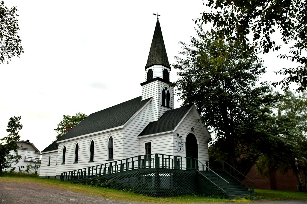
St. Matthew's Presbyterian Church, Grand Falls-Windsor, Newfoundland, NL

THINGS I SEE IN THE SPRING

Corduroy Brook Trail

Salmonid Centre Newfoundland
Salmonid Centre Newfoundland

Salmonid Centre Newfoundland
Salmonid Centre Newfoundland
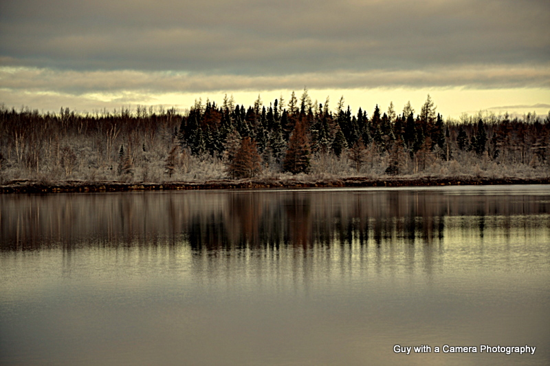
FIRST SNOW

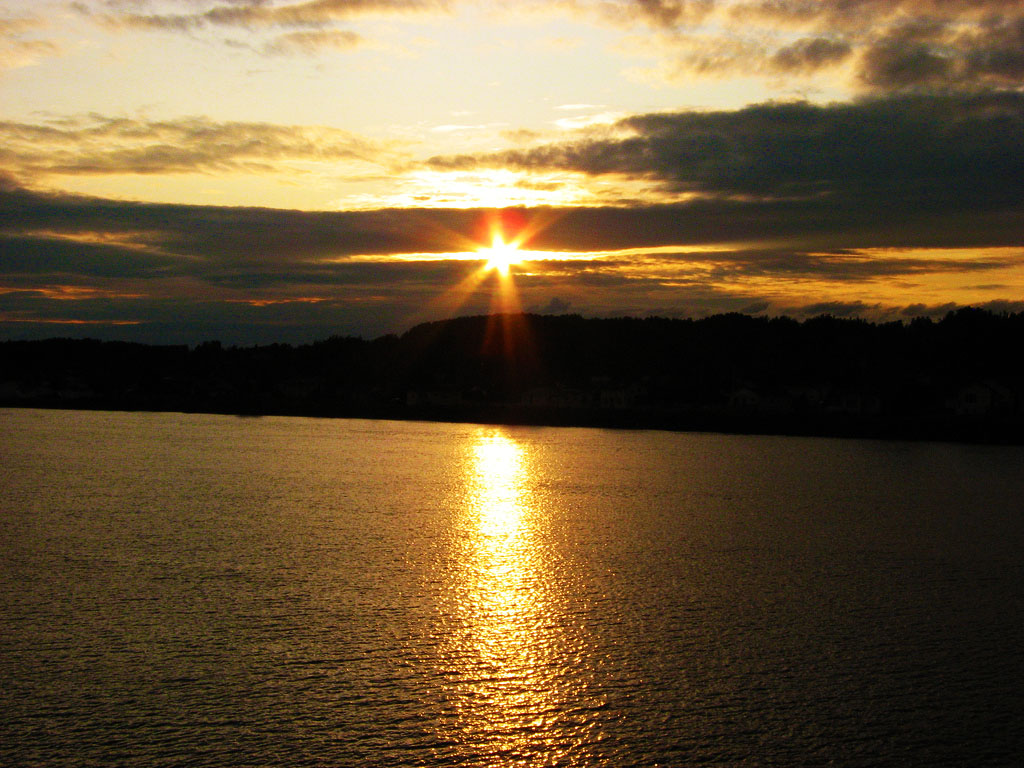
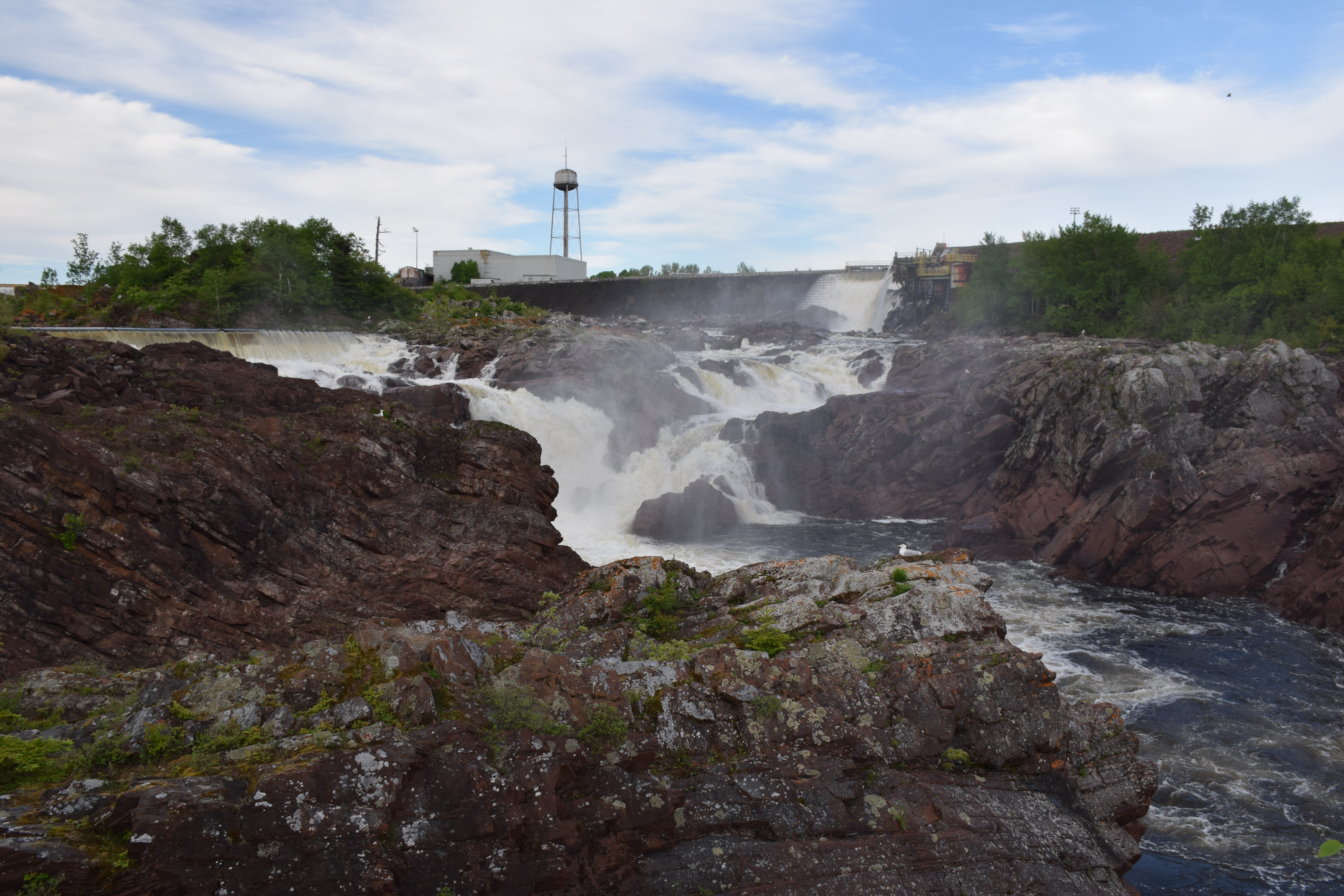
Exploits River
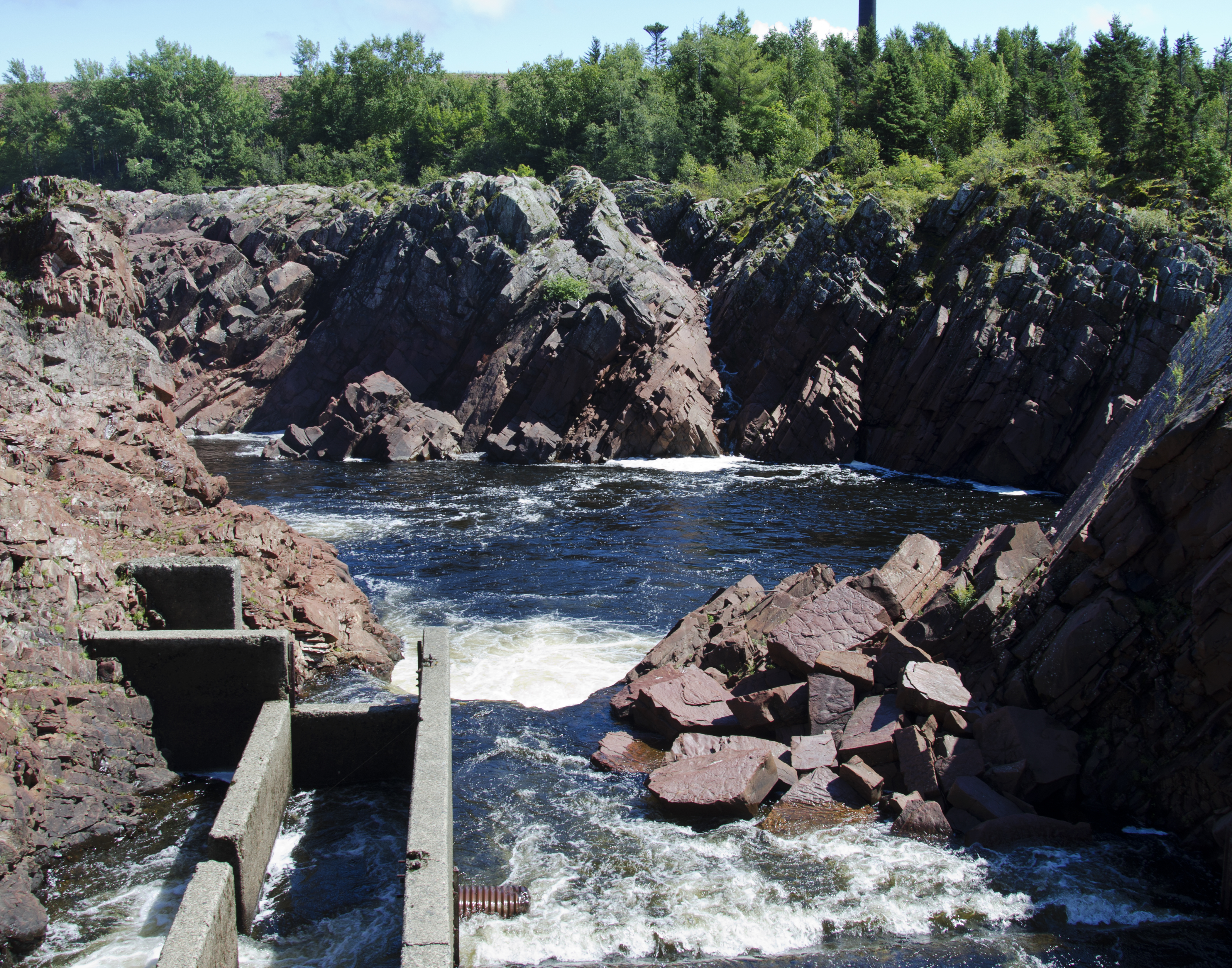
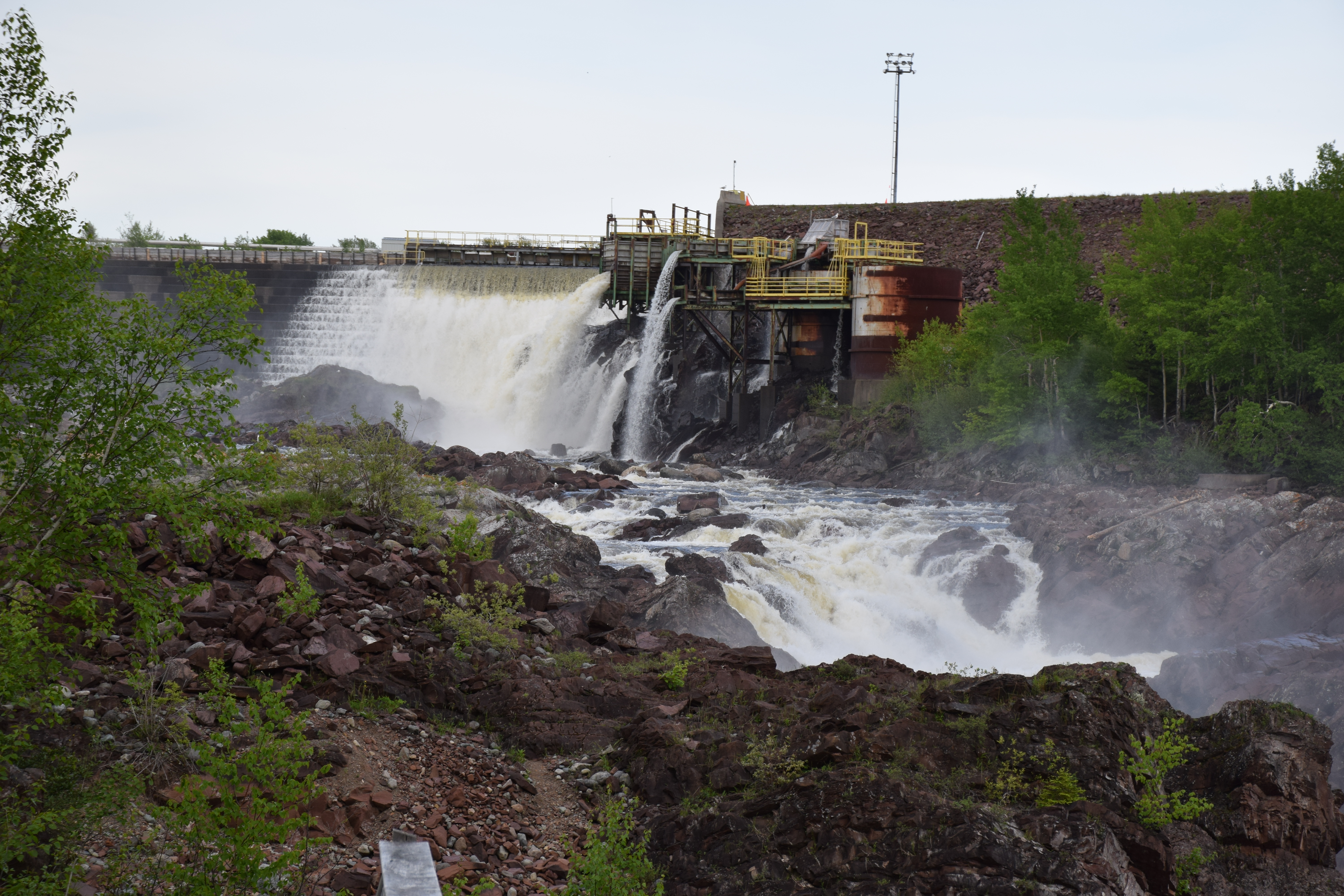
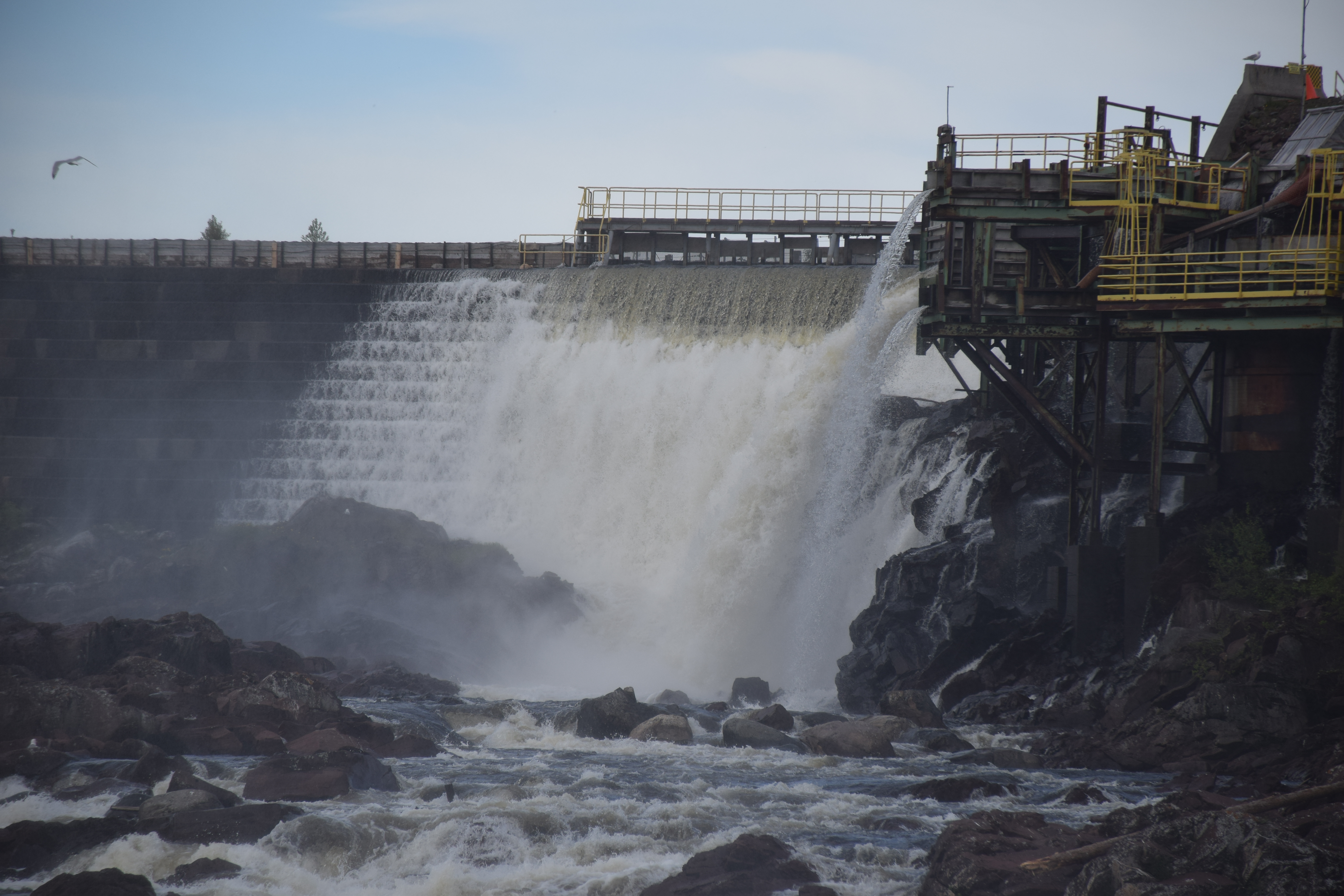
Fish Ladder
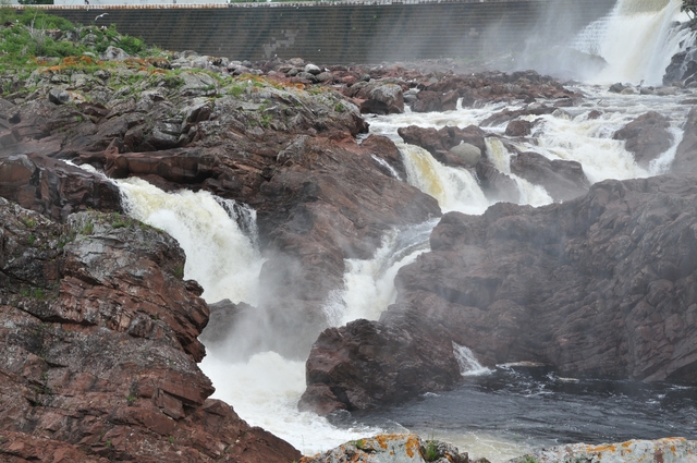
Bishop's Falls
DSC_5223 [640x480]
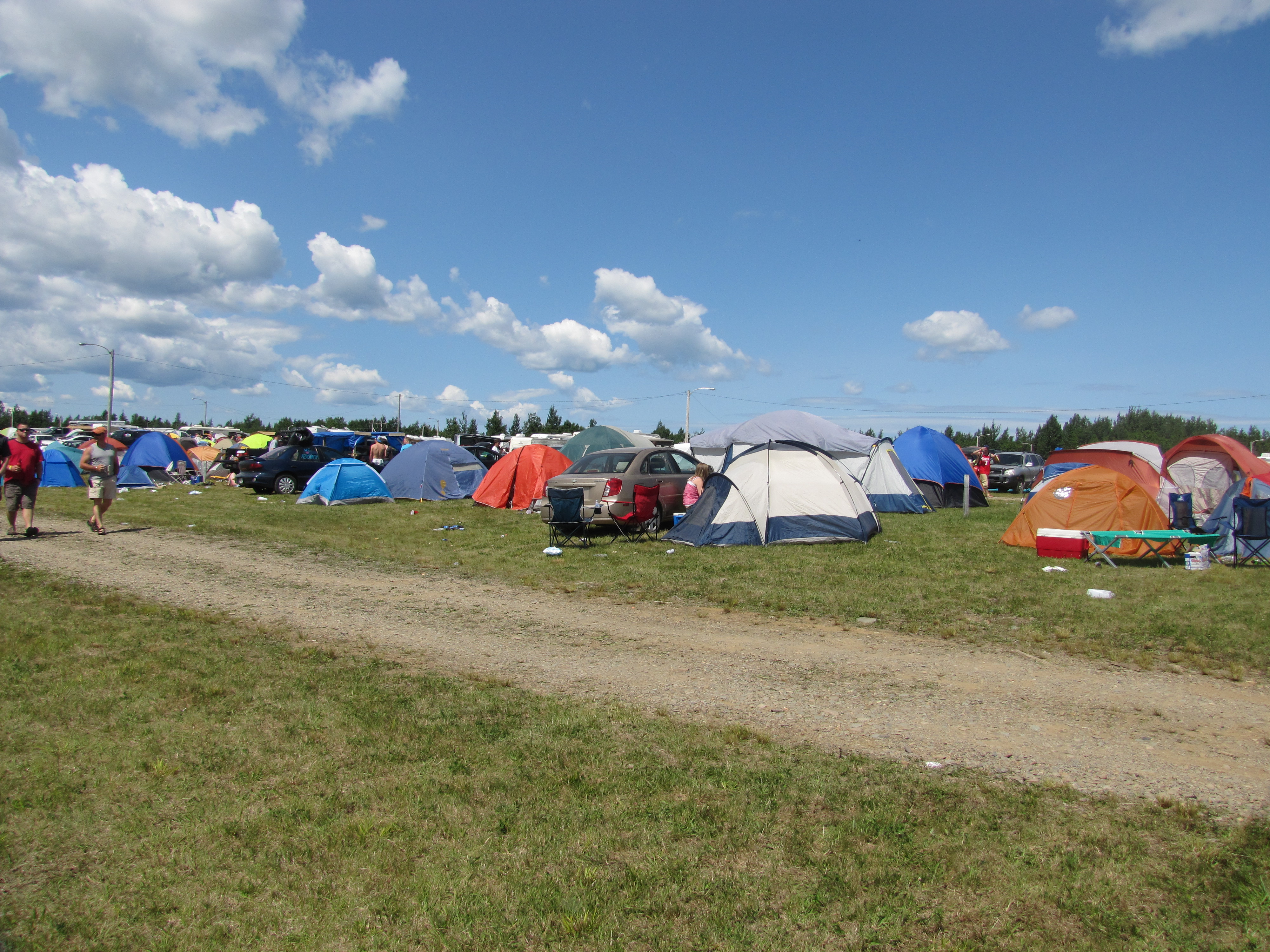
Red Cliff camp site.

Red Cliff camp site.

Red Cliff camp site.
Salmonid Centre Newfoundland

Red Cliff camp site.
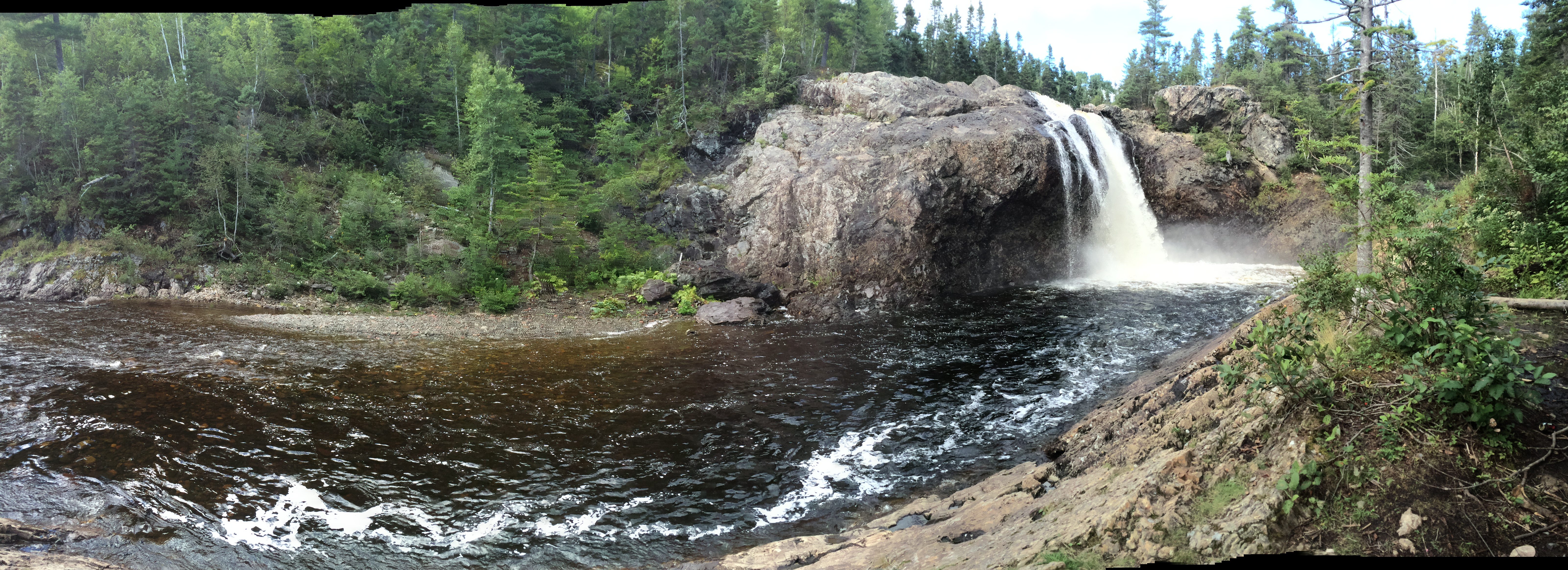
Thunder brook just out from Grandfalls Windsor. Taken with my phone more photos to come from my good camera.

Thunder brook just out from Grandfalls Windsor. Taken with my phone more photos to come from my good camera.

Thunder brook just out from Grandfalls Windsor. Taken with my phone more photos to come from my good camera.

Thunder brook just out from Grandfalls Windsor. Taken with my phone more photos to come from my good camera.
Topographic Map of 27 Brown Ave, Grand Falls-Windsor, NL A2A 2L2, Canada
Find elevation by address:

Places near 27 Brown Ave, Grand Falls-Windsor, NL A2A 2L2, Canada:
Tucker Place
Tucker Place
Southcott Drive
Hicks Place
25 Andrews Cres
1 Bouzane St
Hilltop Kwikway
1 Andrews Cres
47 Muir Ave
27 Bank Rd, Grand Falls-Windsor, NL A2A 1G7, Canada
Grand Falls-windsor
17 Prices Ave
Lemotte's Lake
Leech Pond
Bishop's Falls
Hodges Hill
Badger
37 Church St, Badger, NL, Canada
Norris Arm
233 Gillingham Ave
Recent Searches:
- Elevation of Corso Fratelli Cairoli, 35, Macerata MC, Italy
- Elevation of Tallevast Rd, Sarasota, FL, USA
- Elevation of 4th St E, Sonoma, CA, USA
- Elevation of Black Hollow Rd, Pennsdale, PA, USA
- Elevation of Oakland Ave, Williamsport, PA, USA
- Elevation of Pedrógão Grande, Portugal
- Elevation of Klee Dr, Martinsburg, WV, USA
- Elevation of Via Roma, Pieranica CR, Italy
- Elevation of Tavkvetili Mountain, Georgia
- Elevation of Hartfords Bluff Cir, Mt Pleasant, SC, USA