Elevation of Hodges Hill, Division No. 6, Subd. C, NL, Canada
Location: Canada > Newfoundland And Labrador > Division No. 6 > Division No. 6, Subd. C >
Longitude: -55.883055
Latitude: 49.0669444
Elevation: 372m / 1220feet
Barometric Pressure: 97KPa
Elevation Map:
Satellite Map:
Related Photos:
View from Riverfront Chalets
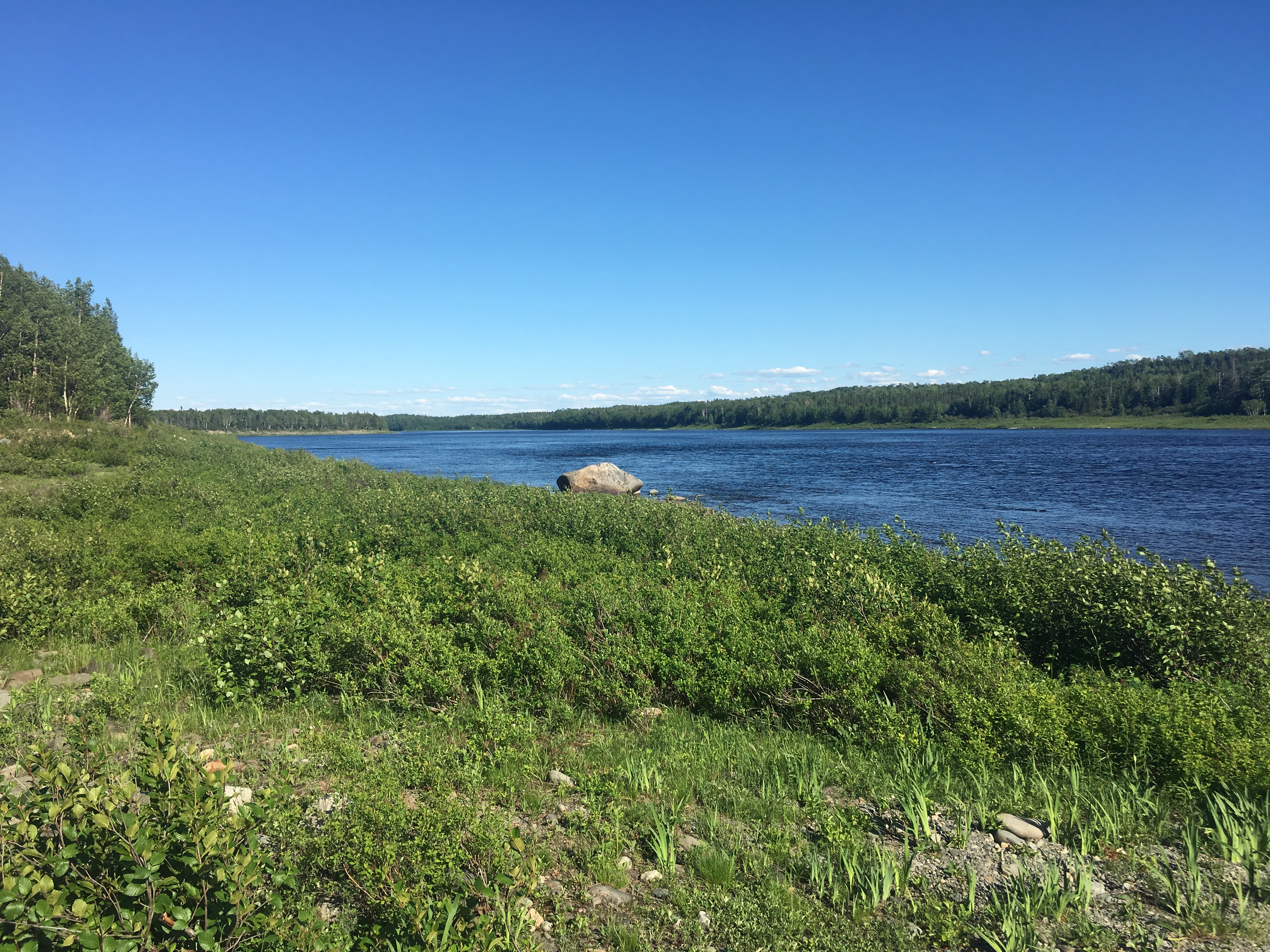
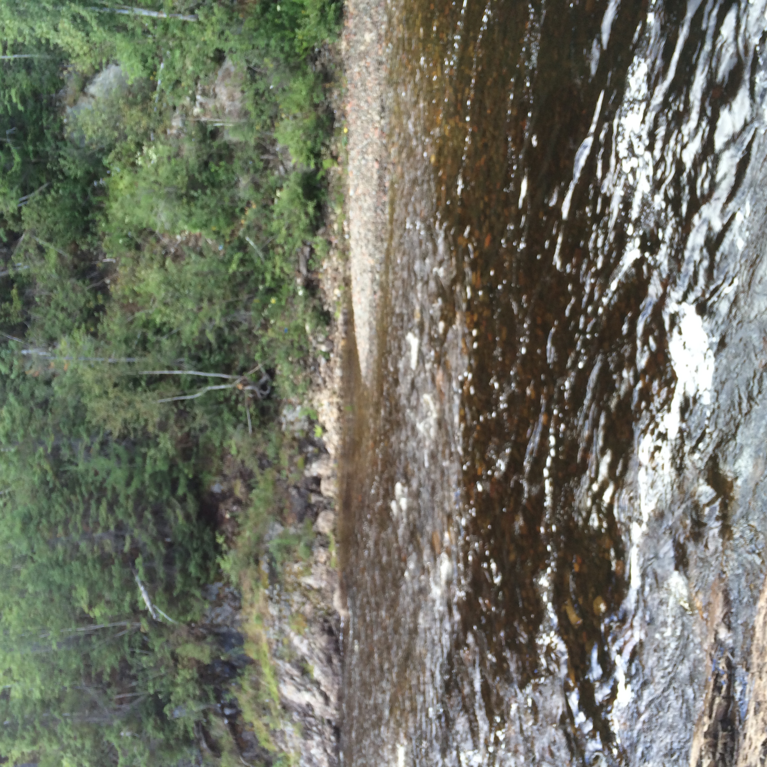
Thunder brook just out from Grandfalls Windsor. Taken with my phone more photos to come from my good camera.

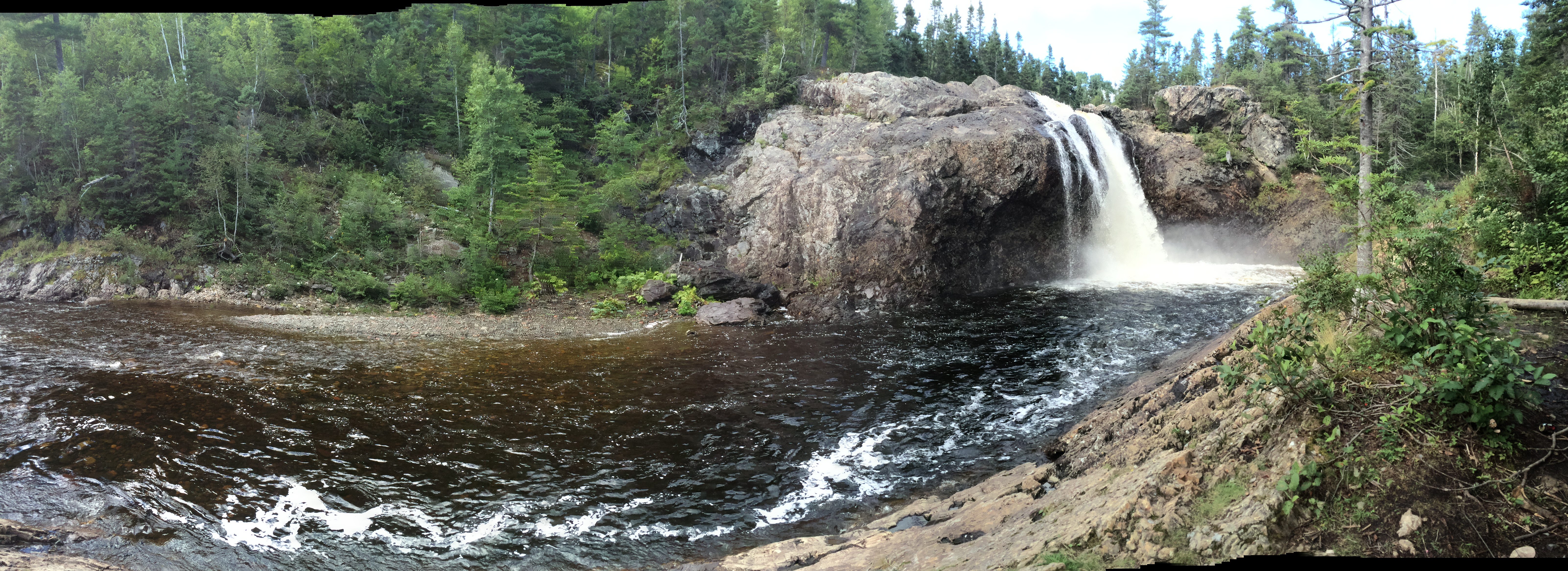
Thunder brook just out from Grandfalls Windsor. Taken with my phone more photos to come from my good camera.

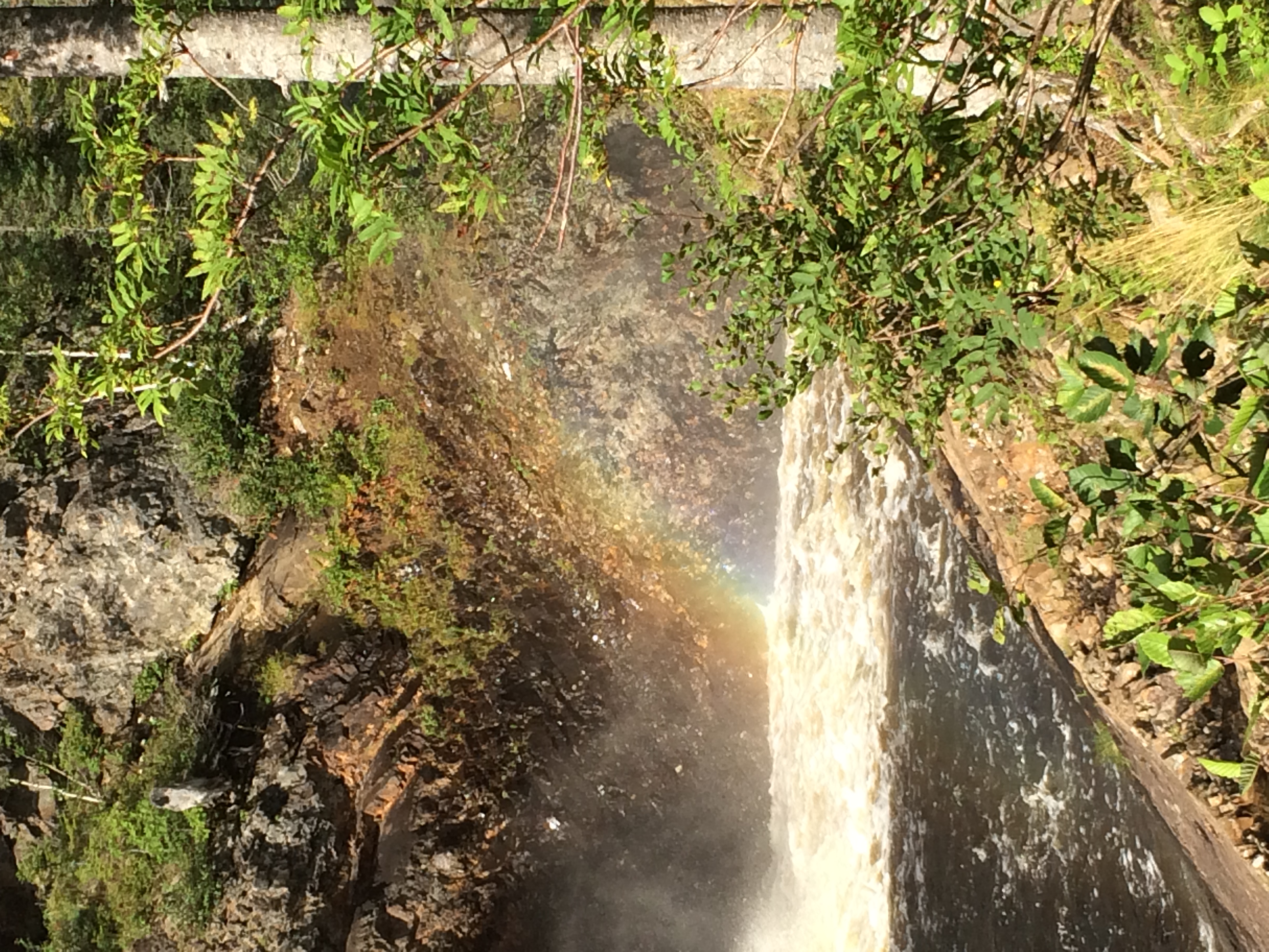
Thunder brook just out from Grandfalls Windsor. Taken with my phone more photos to come from my good camera.

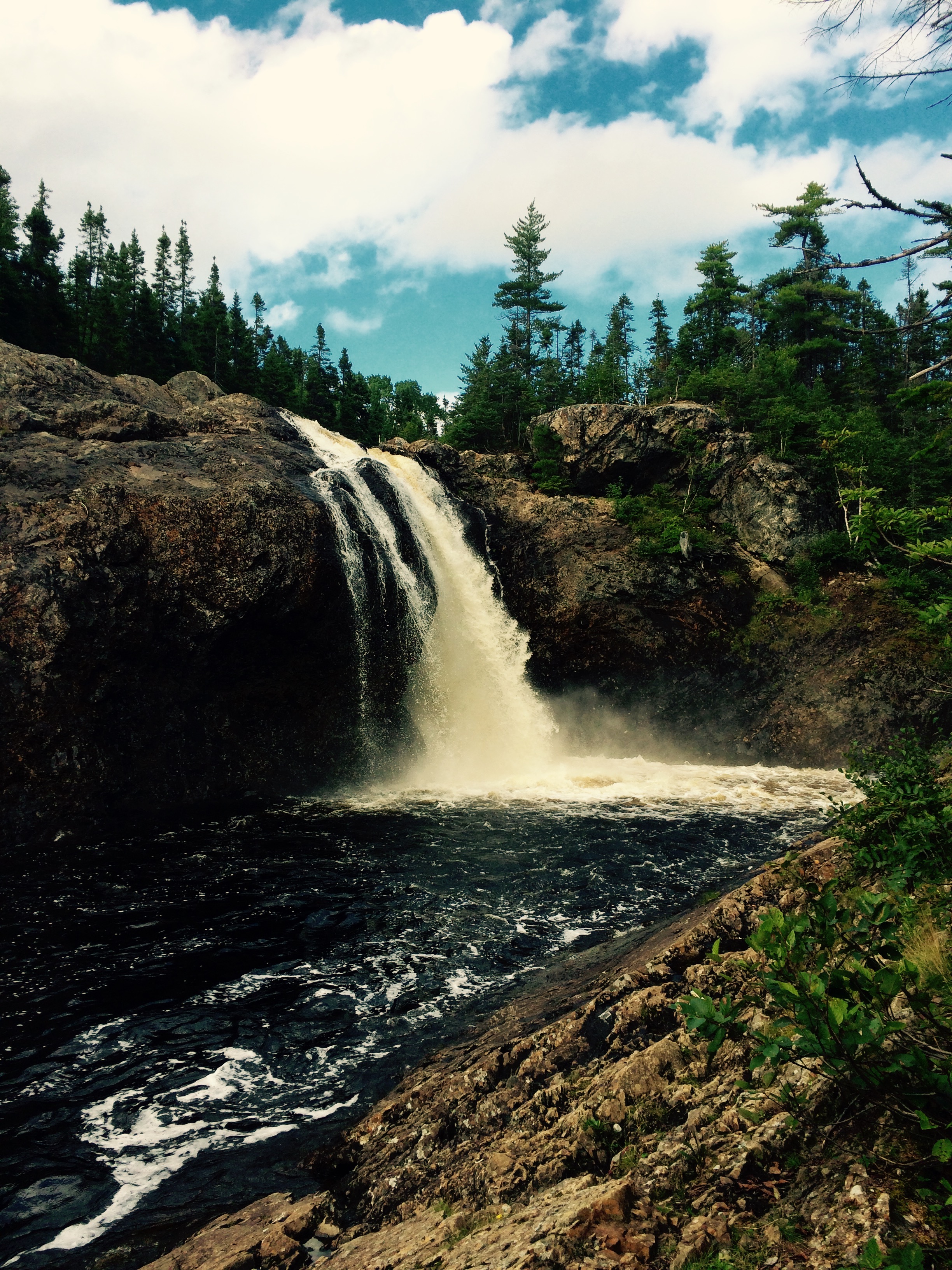
Thunder brook just out from Grandfalls Windsor. Taken with my phone more photos to come from my good camera.
Thunder brook just out from Grandfalls Windsor. Taken with my phone more photos to come from my good camera.
Thunder brook just out from Grandfalls Windsor. Taken with my phone more photos to come from my good camera.
Thunder brook just out from Grandfalls Windsor. Taken with my phone more photos to come from my good camera.

Thunder brook just out from Grandfalls Windsor. Taken with my phone more photos to come from my good camera.
Topographic Map of Hodges Hill, Division No. 6, Subd. C, NL, Canada
Find elevation by address:

Places near Hodges Hill, Division No. 6, Subd. C, NL, Canada:
Leech Pond
Badger
37 Church St, Badger, NL, Canada
Division No. 6, Subd. C
Lemotte's Lake
Trans-Canada Hwy, Division No. 6, Subd. C, NL, Canada
17 Prices Ave
Grand Falls-windsor
27 Bank Rd, Grand Falls-Windsor, NL A2A 1G7, Canada
27 Brown Ave
Southcott Drive
Tucker Place
Tucker Place
Hicks Place
1 Bouzane St
Hilltop Kwikway
25 Andrews Cres
1 Andrews Cres
47 Muir Ave
Bishop's Falls
Recent Searches:
- Elevation of Fern Rd, Whitmore, CA, USA
- Elevation of 62 Abbey St, Marshfield, MA, USA
- Elevation of Fernwood, Bradenton, FL, USA
- Elevation of Felindre, Swansea SA5 7LU, UK
- Elevation of Leyte Industrial Development Estate, Isabel, Leyte, Philippines
- Elevation of W Granada St, Tampa, FL, USA
- Elevation of Pykes Down, Ivybridge PL21 0BY, UK
- Elevation of Jalan Senandin, Lutong, Miri, Sarawak, Malaysia
- Elevation of Bilohirs'k
- Elevation of 30 Oak Lawn Dr, Barkhamsted, CT, USA