Elevation of 25 Huneke Way, Millstone, NJ, USA
Location: United States > New Jersey > Monmouth County > Millstone >
Longitude: -74.450914
Latitude: 40.2429739
Elevation: 40m / 131feet
Barometric Pressure: 101KPa
Elevation Map:
Satellite Map:
Related Photos:
Custom Built
Rolling Thunder

Stick Your Neck Out
Pink-footed Goose
Views from a plane
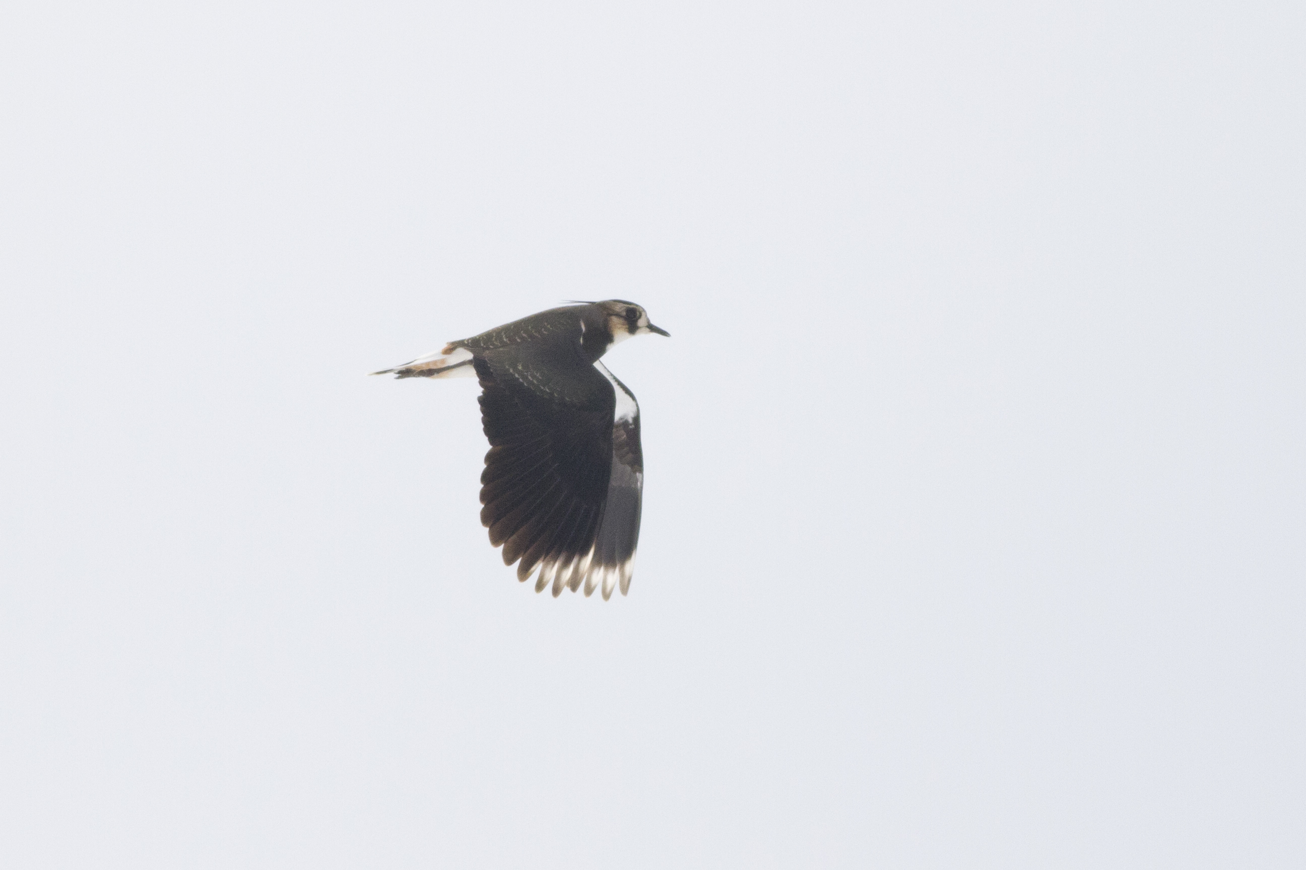
Northern Lapwing
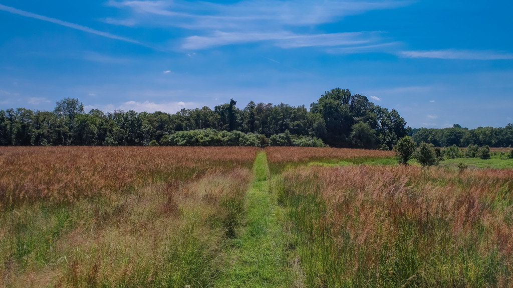
Overgrown Field
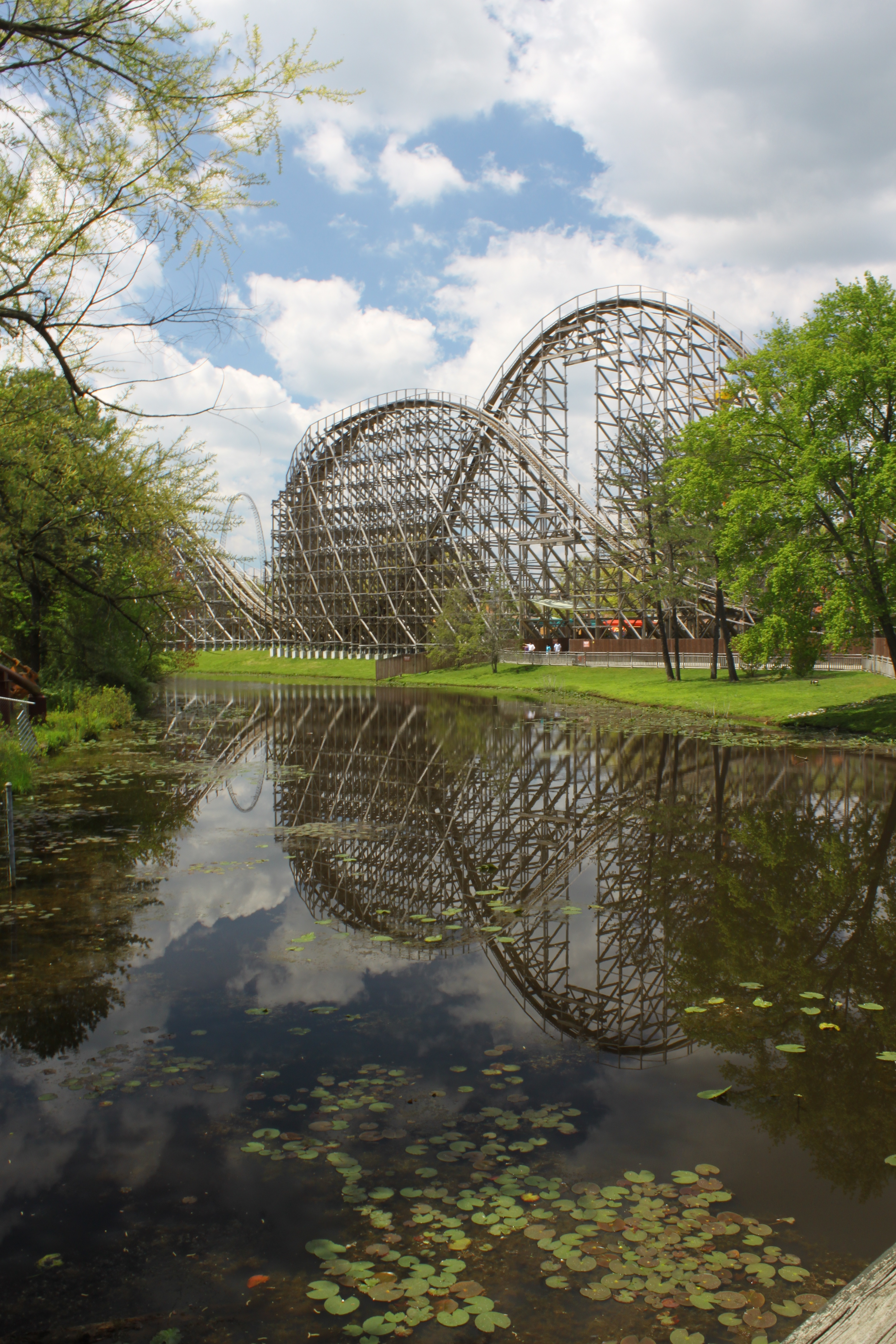
El Toro Reflection

Self Portrait

Northern Lapwing
Creek's Bend

Alcohol Funny Car Launch
Views from a plane

157/365

A Time Gone By 9/52
The Real Molly Pitcher Spring
View from the ski-lift

Sutfin-Herbert House
Views from a plane
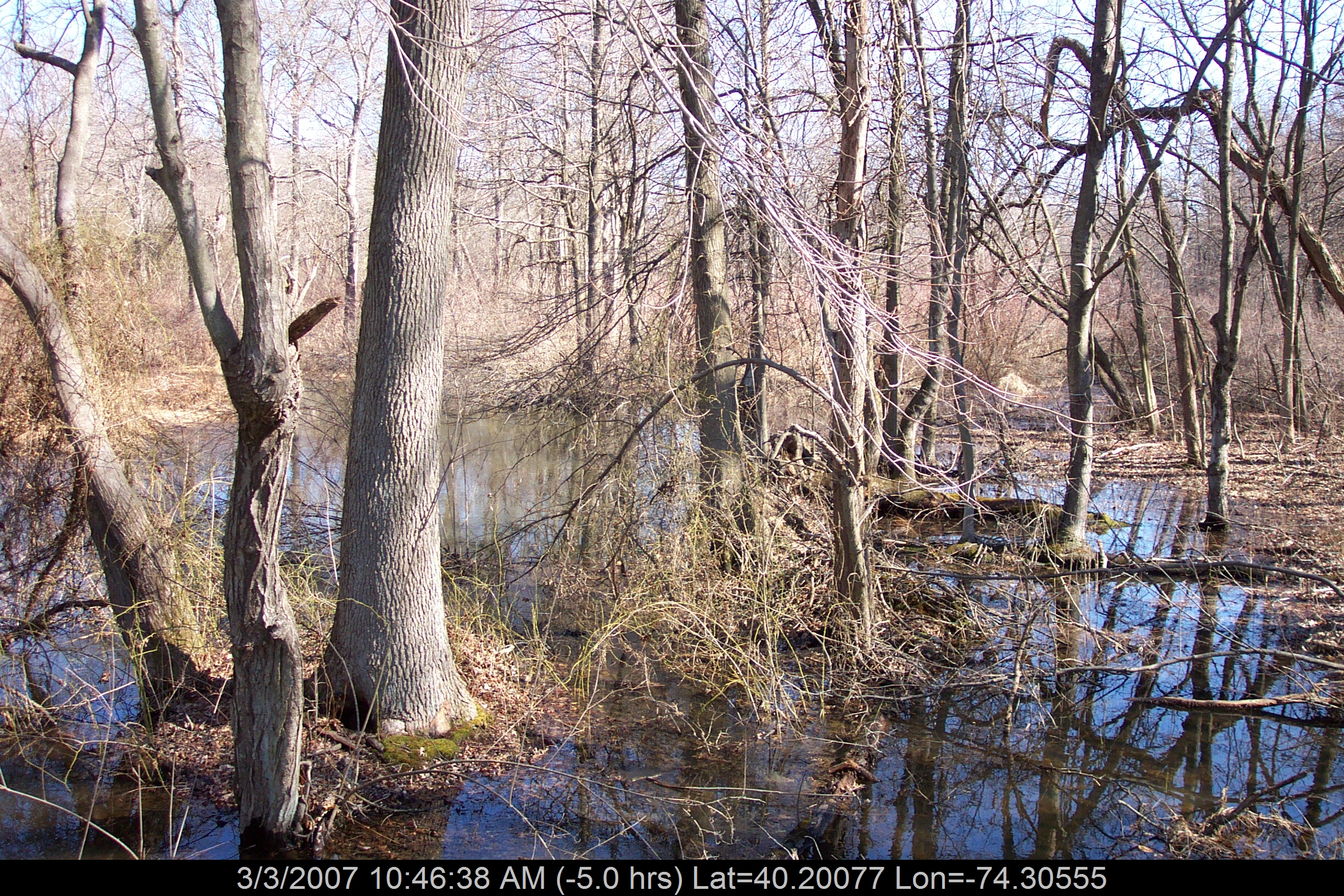
A Walk In The Woods
Towards Perrine Hill
Right turn off of Sweetman's Lane

#onmyrun
Helmetta Sunset
Helmetta Pond
Farm Scene

Escape into Nothing
5.11.18
McCormack Lake
Sunset Bales 253/365

Path to the Edge of the World
Historic Craig House - V
Rising Sun Lake

#AmazingSky #WhataWonderfulWorld #NewJerseySkyline

The Valley of Unrest
2012: Six Flags Wild Safari, New Jersey, USA
Picture 241
Landscapes from the Battle of Monmouth - VII
#onmyrun
Historic Craig House - XVI

Doodle on the Dock
Hightstown, NJ
Topographic Map of 25 Huneke Way, Millstone, NJ, USA
Find elevation by address:

Places near 25 Huneke Way, Millstone, NJ, USA:
13 Van Hise Dr
2 Huneke Way
5 Strahan Ct
23 Hampton Hollow Dr
Perrineville Rd, Perrineville, NJ, USA
32 Witches Hollow Rd
7 Danser Dr
1 Danser Dr
7 Soden Farm Ln
166 Millstone Rd
4 Lightfoot Ct
210 Millstone Rd
3 Horseshoe Dr
10 Bittner Rd
1 Homestead Ln, Roosevelt, NJ, USA
2 Leonard Ln
7 Cedar Ct
3 Lakeview Dr
17 Alpine Dr
36 Pine Hill Rd
Recent Searches:
- Elevation of 6 Rue Jules Ferry, Beausoleil, France
- Elevation of Sattva Horizon, 4JC6+G9P, Vinayak Nagar, Kattigenahalli, Bengaluru, Karnataka, India
- Elevation of Great Brook Sports, Gold Star Hwy, Groton, CT, USA
- Elevation of 10 Mountain Laurels Dr, Nashua, NH, USA
- Elevation of 16 Gilboa Ln, Nashua, NH, USA
- Elevation of Laurel Rd, Townsend, TN, USA
- Elevation of 3 Nestling Wood Dr, Long Valley, NJ, USA
- Elevation of Ilungu, Tanzania
- Elevation of Yellow Springs Road, Yellow Springs Rd, Chester Springs, PA, USA
- Elevation of Rēzekne Municipality, Latvia