Elevation of 32 Witches Hollow Rd, Millstone, NJ, USA
Location: United States > New Jersey > Monmouth County > Millstone >
Longitude: -74.453707
Latitude: 40.2202326
Elevation: 90m / 295feet
Barometric Pressure: 100KPa
Elevation Map:
Satellite Map:
Related Photos:
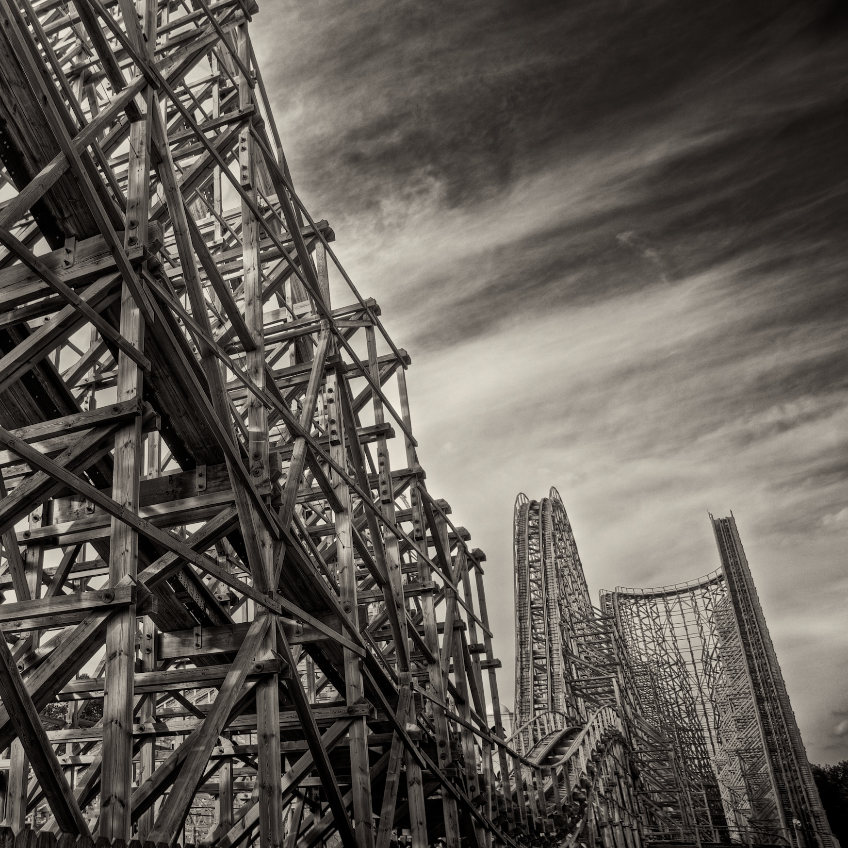
Custom Built
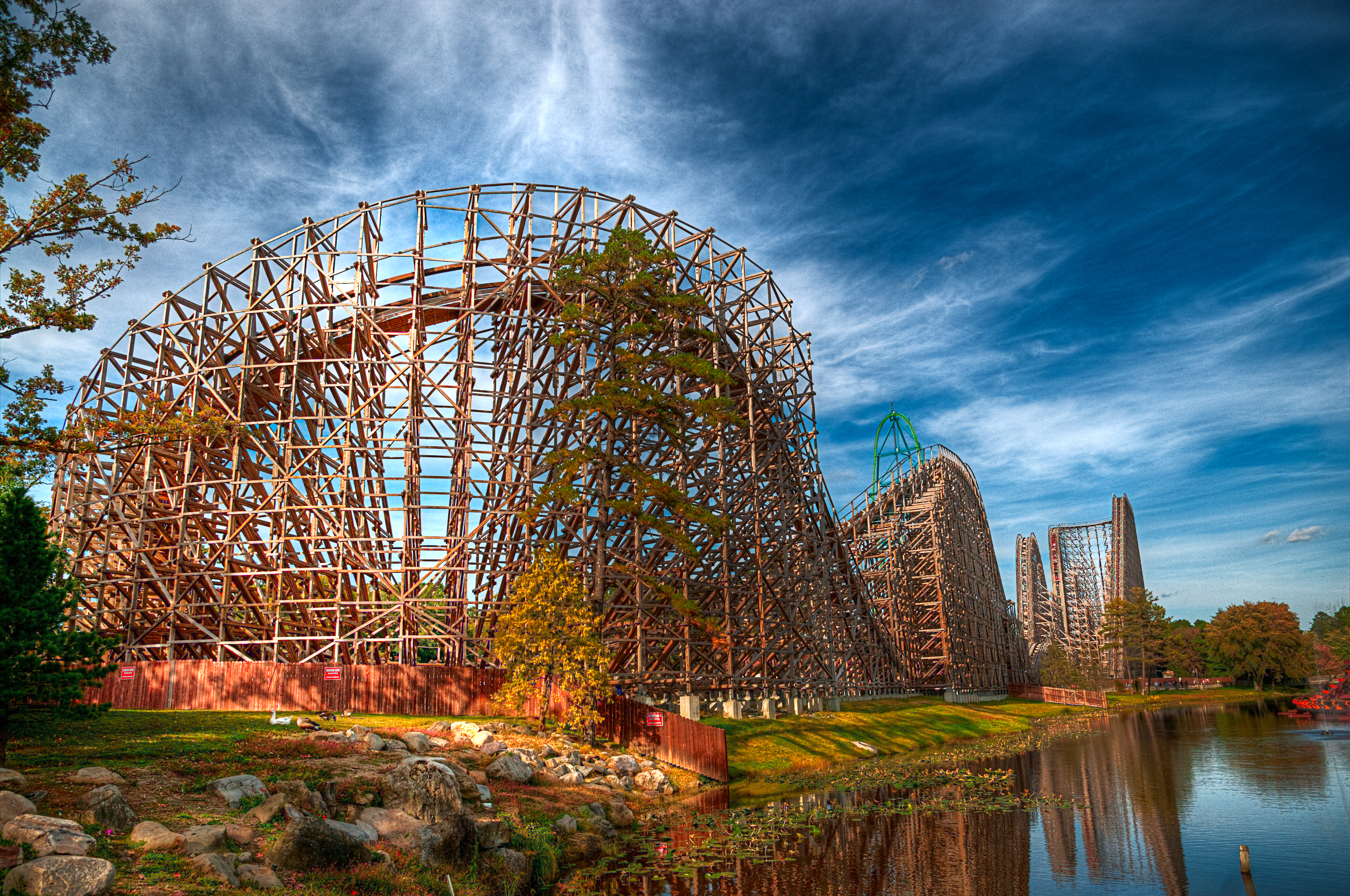
Rolling Thunder

Stick Your Neck Out
Pink-footed Goose
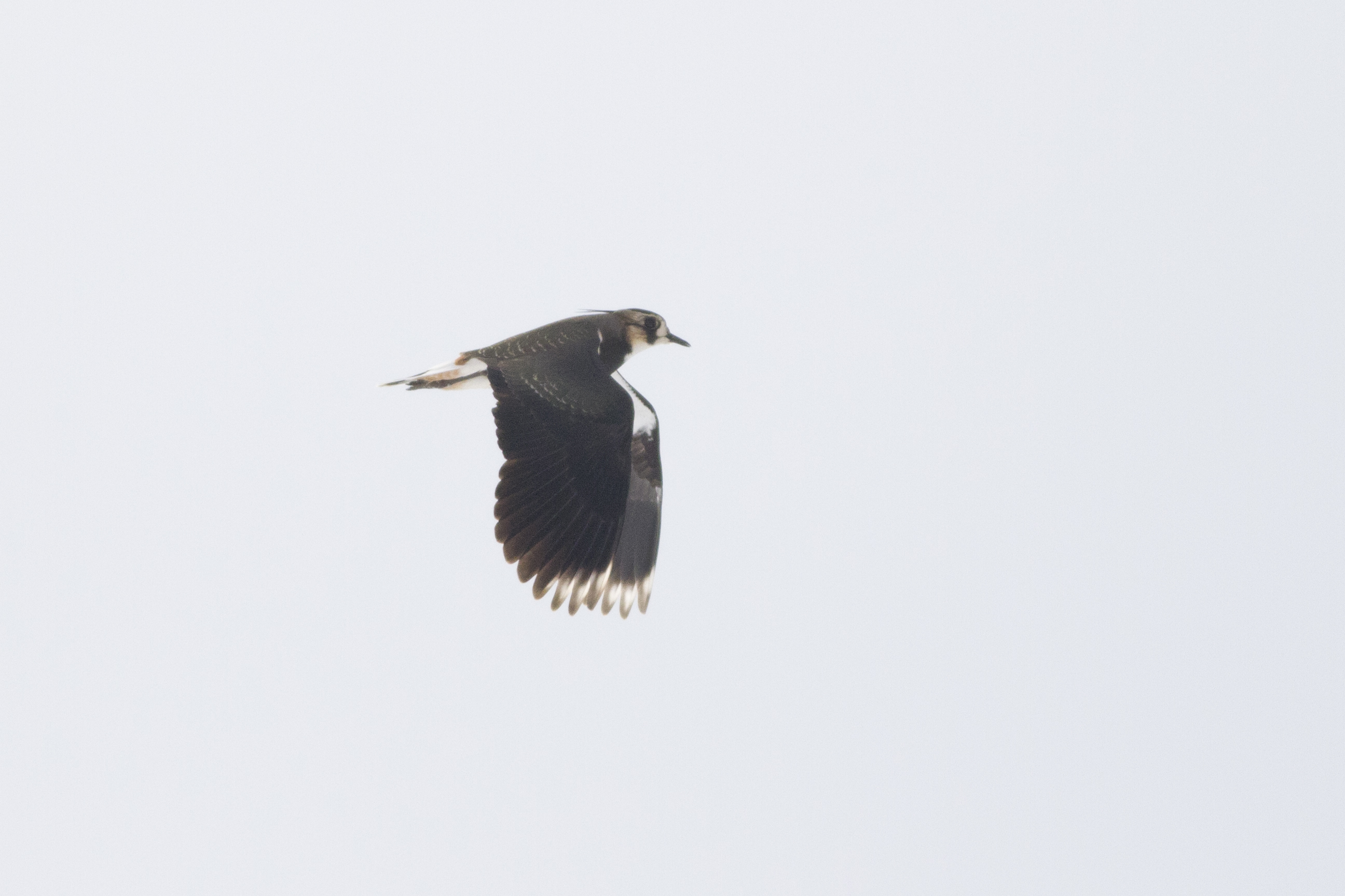
Northern Lapwing
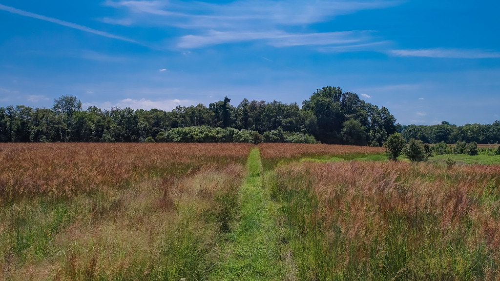
Overgrown Field
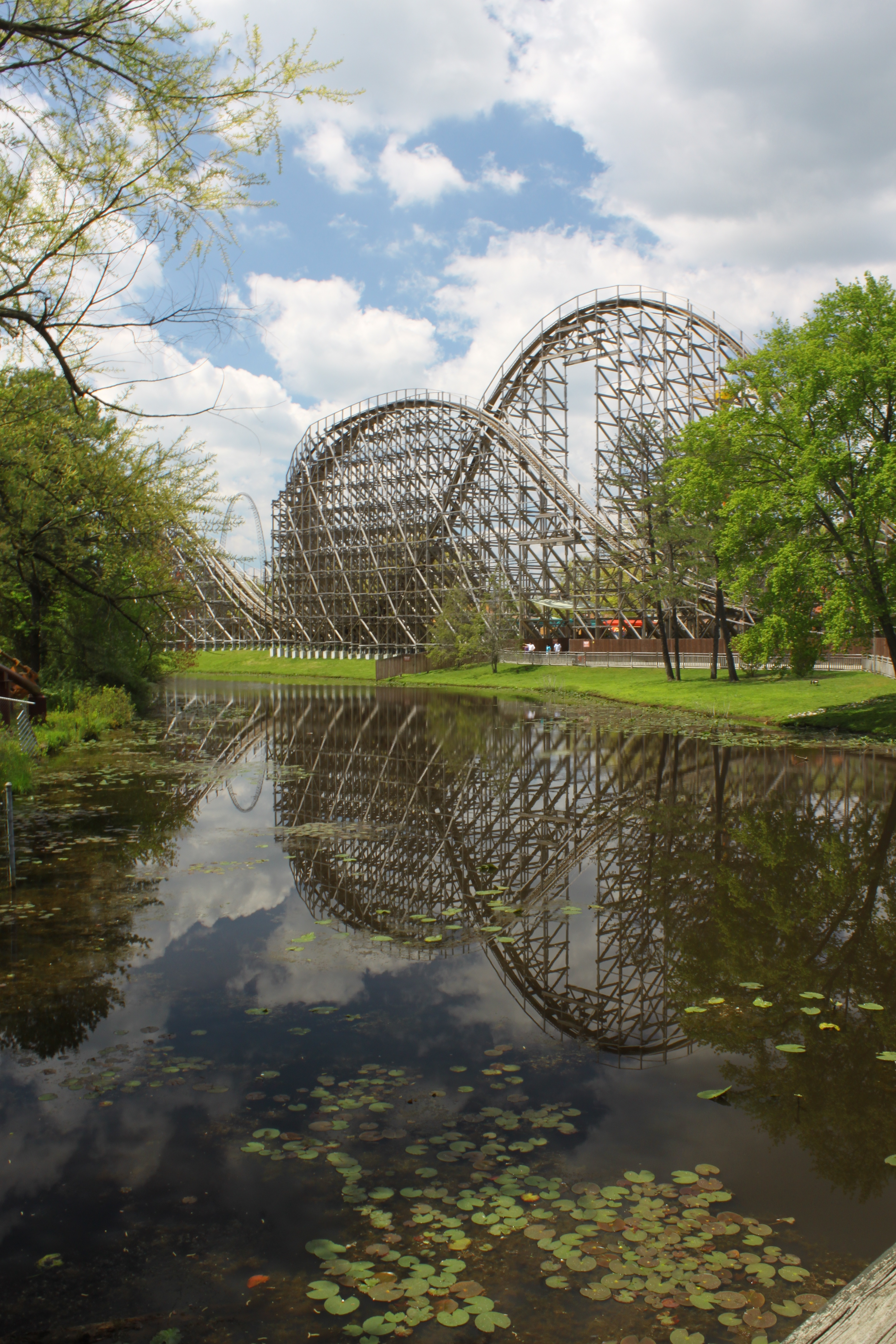
El Toro Reflection

Self Portrait
View from the ski-lift
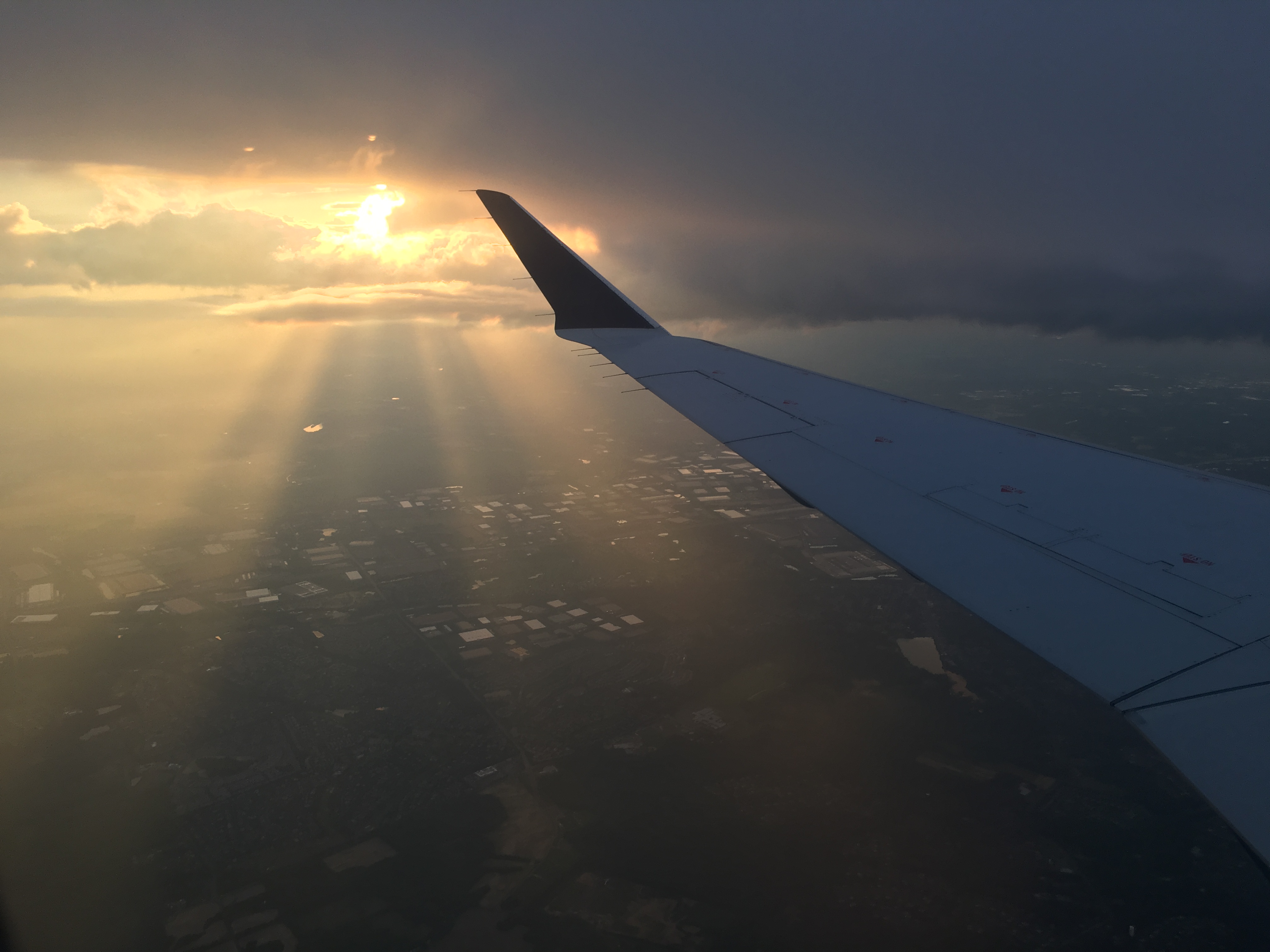
Views from a plane

Northern Lapwing
Creek's Bend

157/365

A Time Gone By 9/52
The Real Molly Pitcher Spring
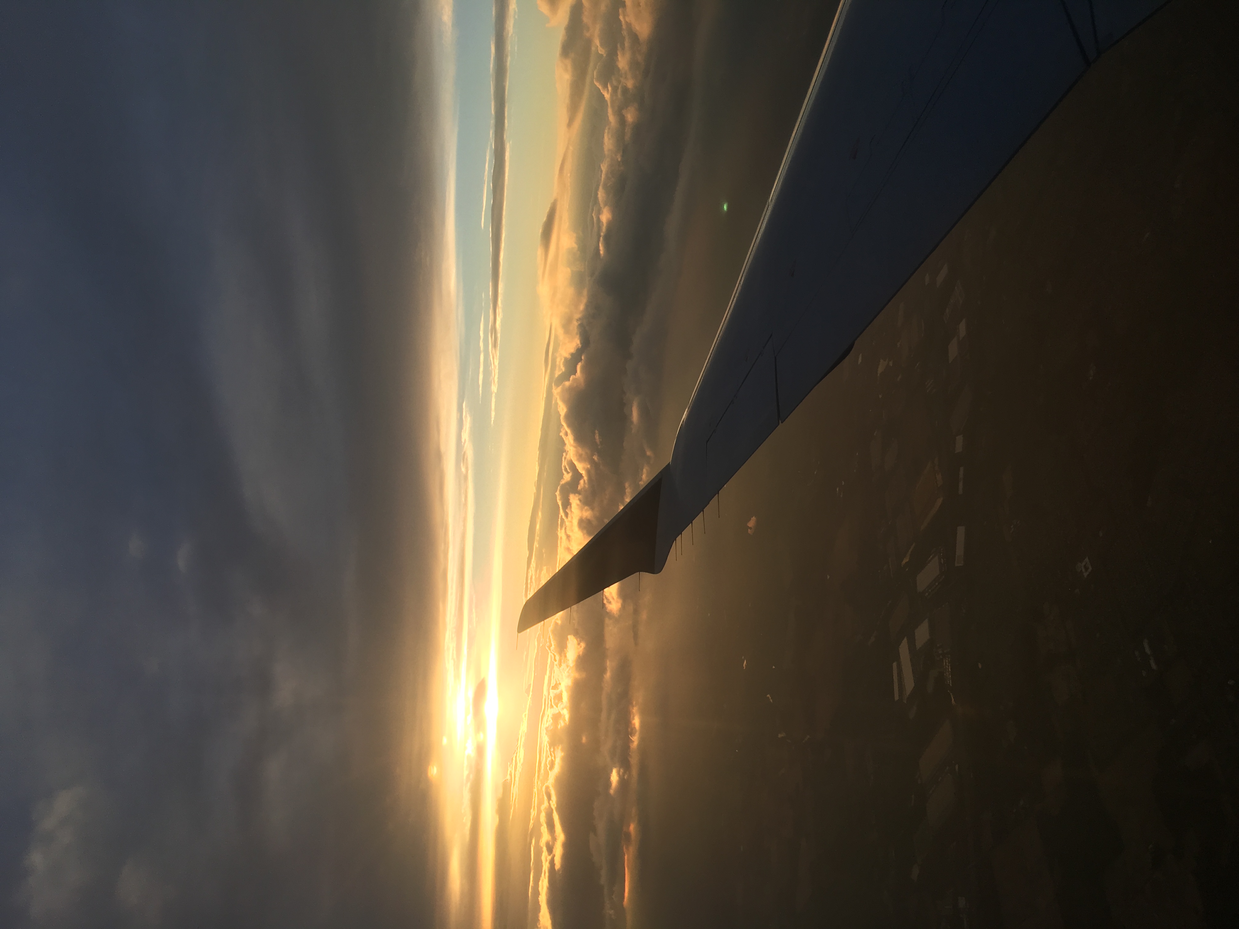
Views from a plane
A Walk In The Woods
Towards Perrine Hill
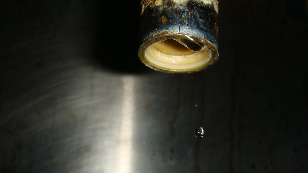
Two Drops

assassin bug (Acholla multispinosa)
Upper view
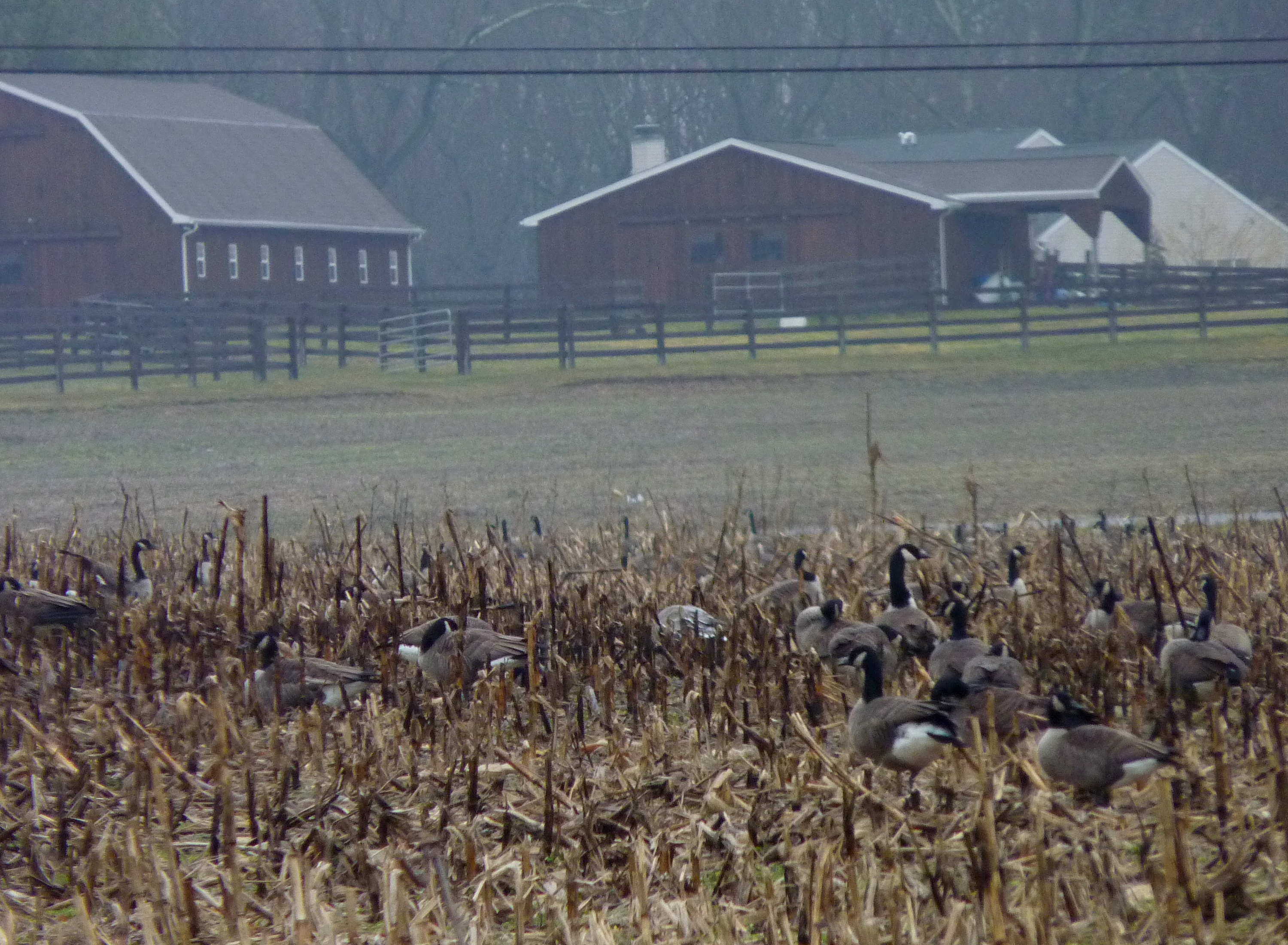
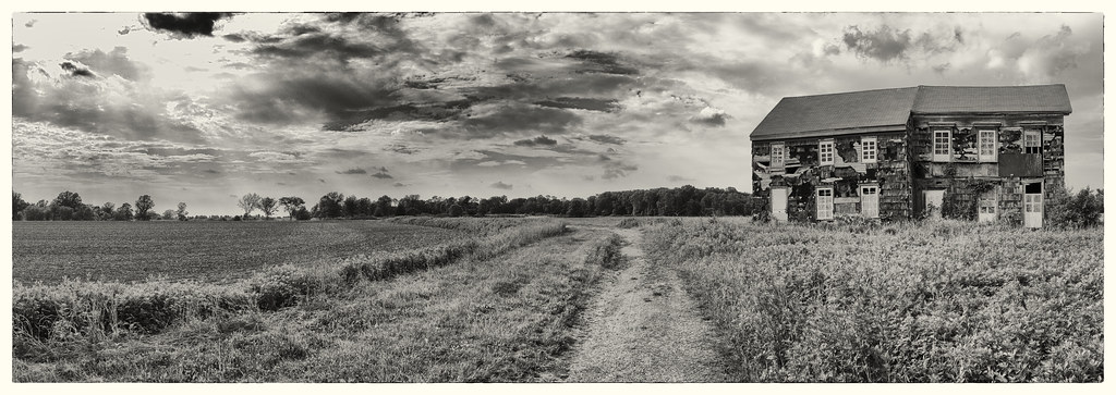
Farm Scene

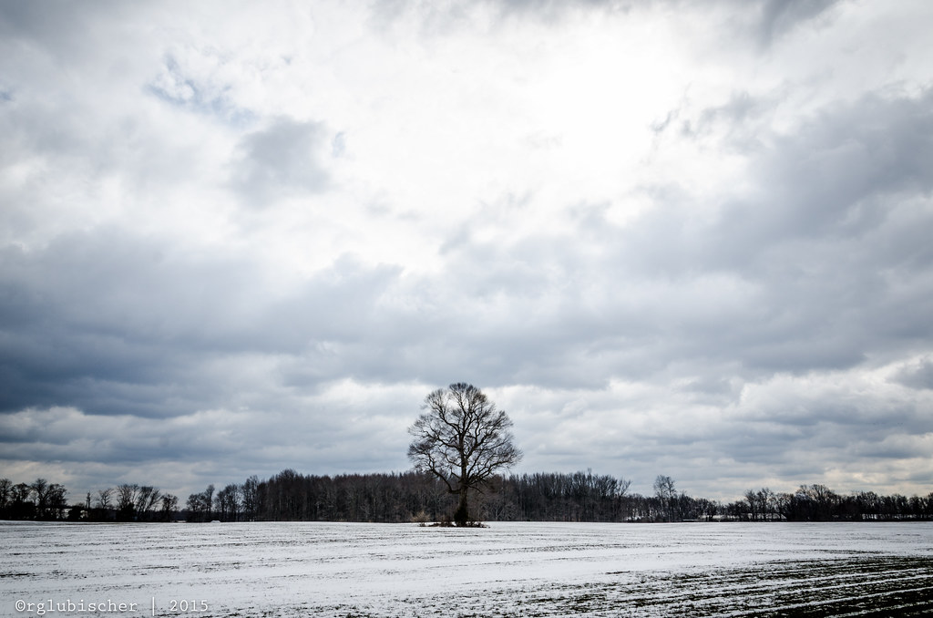
The Lonely Tree - IV
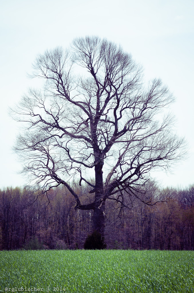
The Lonely Tree - I

The Lonely Tree - II

Week 42 - Just for fun

Lone Tree - VI
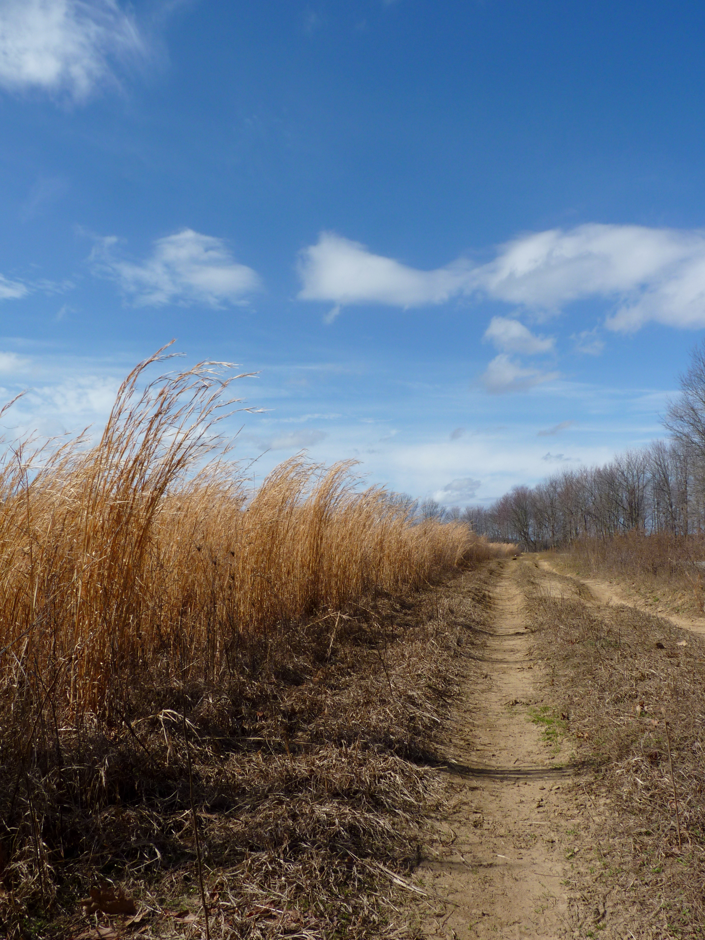
Dirt road
Lone Tree - V

#onmyrun

Escape into Nothing

Path to the Edge of the World
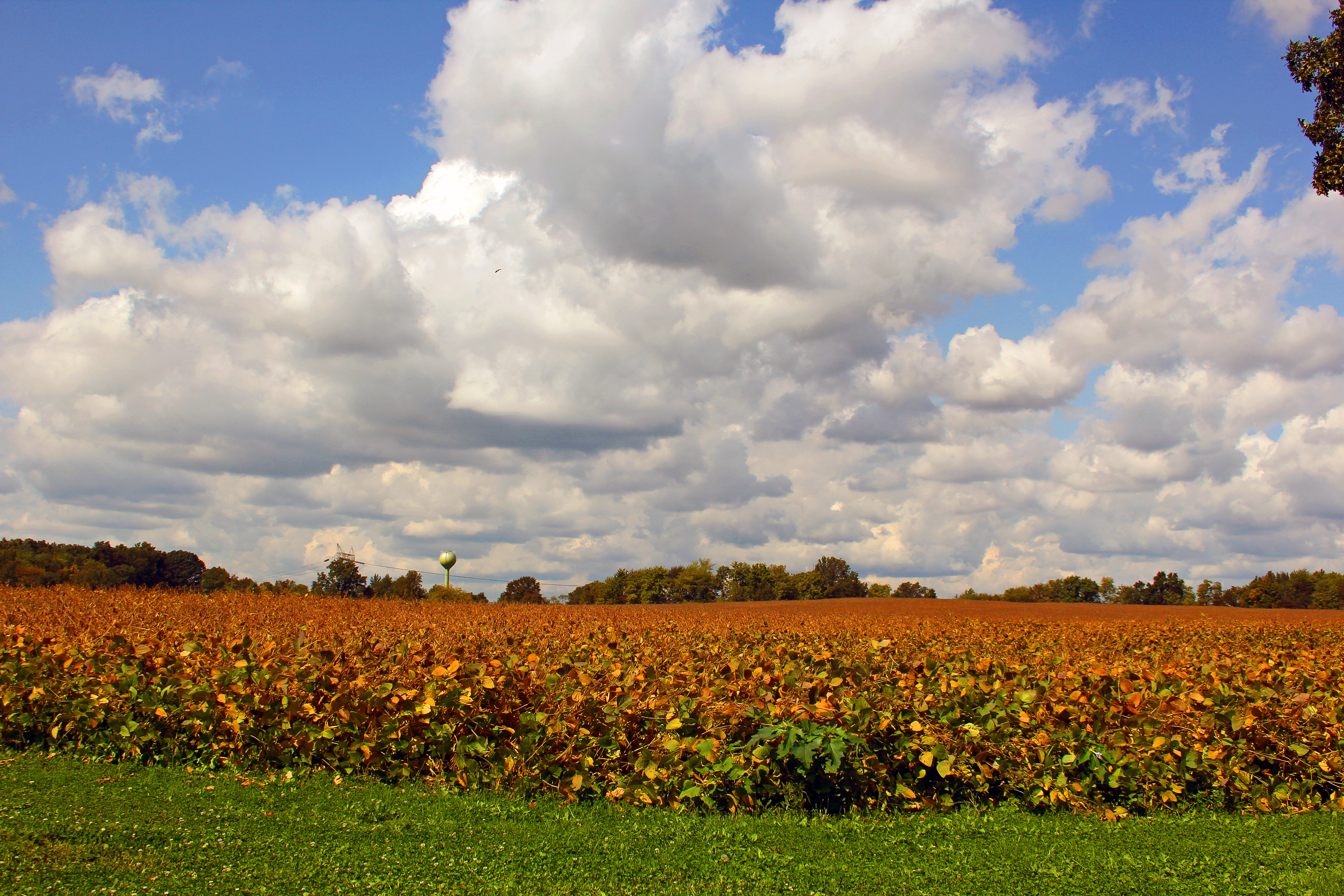
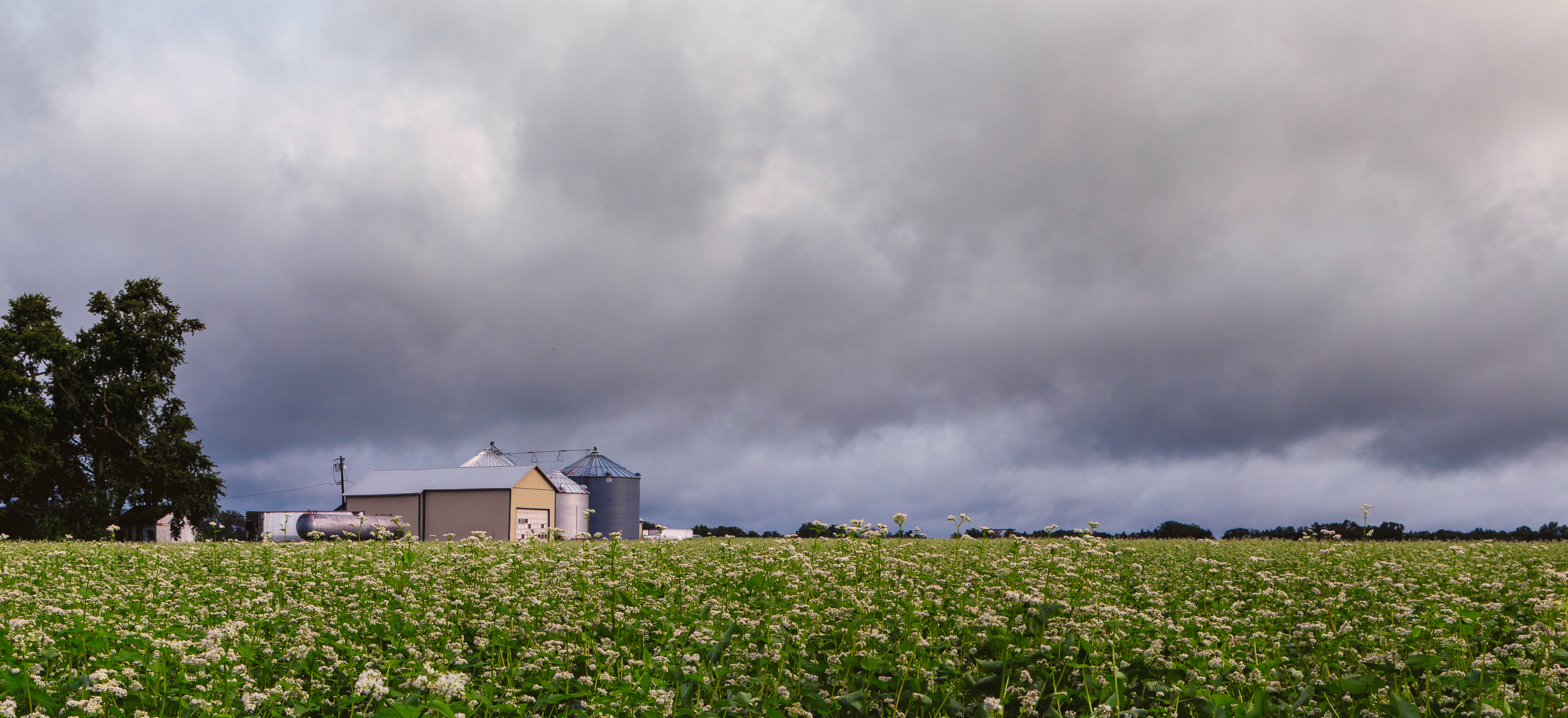
Harvest over
Historic Craig House - V

Rising Sun Lake

Historic Craig House - XVII

#AmazingSky #WhataWonderfulWorld #NewJerseySkyline

The Valley of Unrest
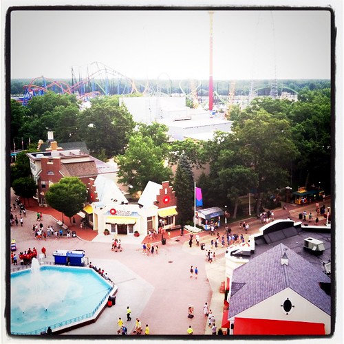
2012: Six Flags Wild Safari, New Jersey, USA
Topographic Map of 32 Witches Hollow Rd, Millstone, NJ, USA
Find elevation by address:

Places near 32 Witches Hollow Rd, Millstone, NJ, USA:
7 Cedar Ct
7 Soden Farm Ln
3 Lakeview Dr
4 Lightfoot Ct
17 Alpine Dr
23 Hampton Hollow Dr
Perrineville Rd, Perrineville, NJ, USA
Perrineville
12 Ivy Ct
3 Horseshoe Dr
10 Bittner Rd
1 Homestead Ln, Roosevelt, NJ, USA
7 Preston Dr
13 Van Hise Dr
3 Preston Dr
10 Cottrell Dr
25 Huneke Way
2 Leonard Ln
39 Robbins Rd S
2 Huneke Way
Recent Searches:
- Elevation of Rojo Ct, Atascadero, CA, USA
- Elevation of Flagstaff Drive, Flagstaff Dr, North Carolina, USA
- Elevation of Avery Ln, Lakeland, FL, USA
- Elevation of Woolwine, VA, USA
- Elevation of Lumagwas Diversified Farmers Multi-Purpose Cooperative, Lumagwas, Adtuyon, RV32+MH7, Pangantucan, Bukidnon, Philippines
- Elevation of Homestead Ridge, New Braunfels, TX, USA
- Elevation of Orchard Road, Orchard Rd, Marlborough, NY, USA
- Elevation of 12 Hutchinson Woods Dr, Fletcher, NC, USA
- Elevation of Holloway Ave, San Francisco, CA, USA
- Elevation of Norfolk, NY, USA