Elevation of 25 Basil Ln, Billings, MO, USA
Location: United States > Missouri > Stone County >
Longitude: -93.465949
Latitude: 36.9626958
Elevation: 407m / 1335feet
Barometric Pressure: 97KPa
Elevation Map:
Satellite Map:
Related Photos:
After the Storm: Neighbors Gather
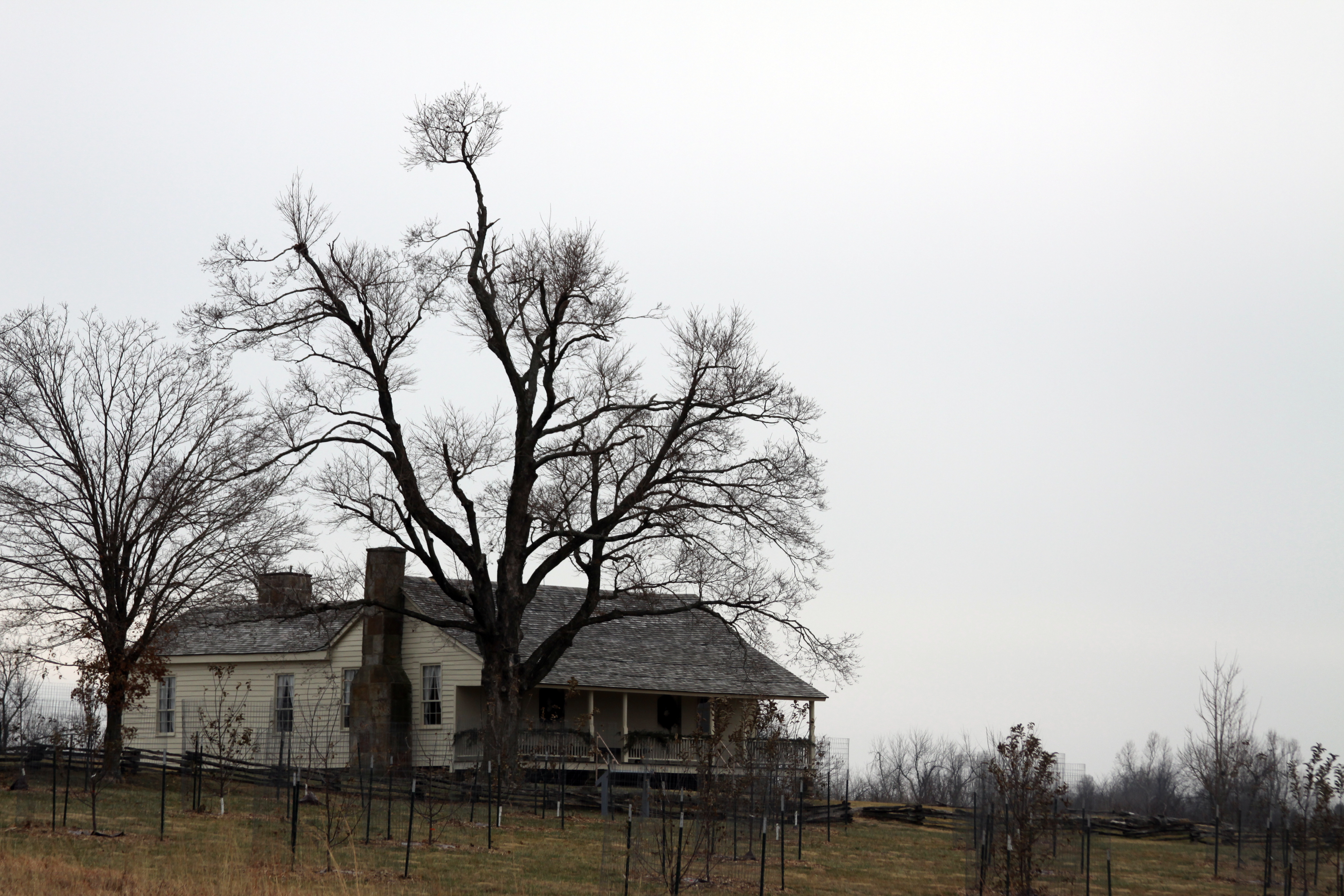
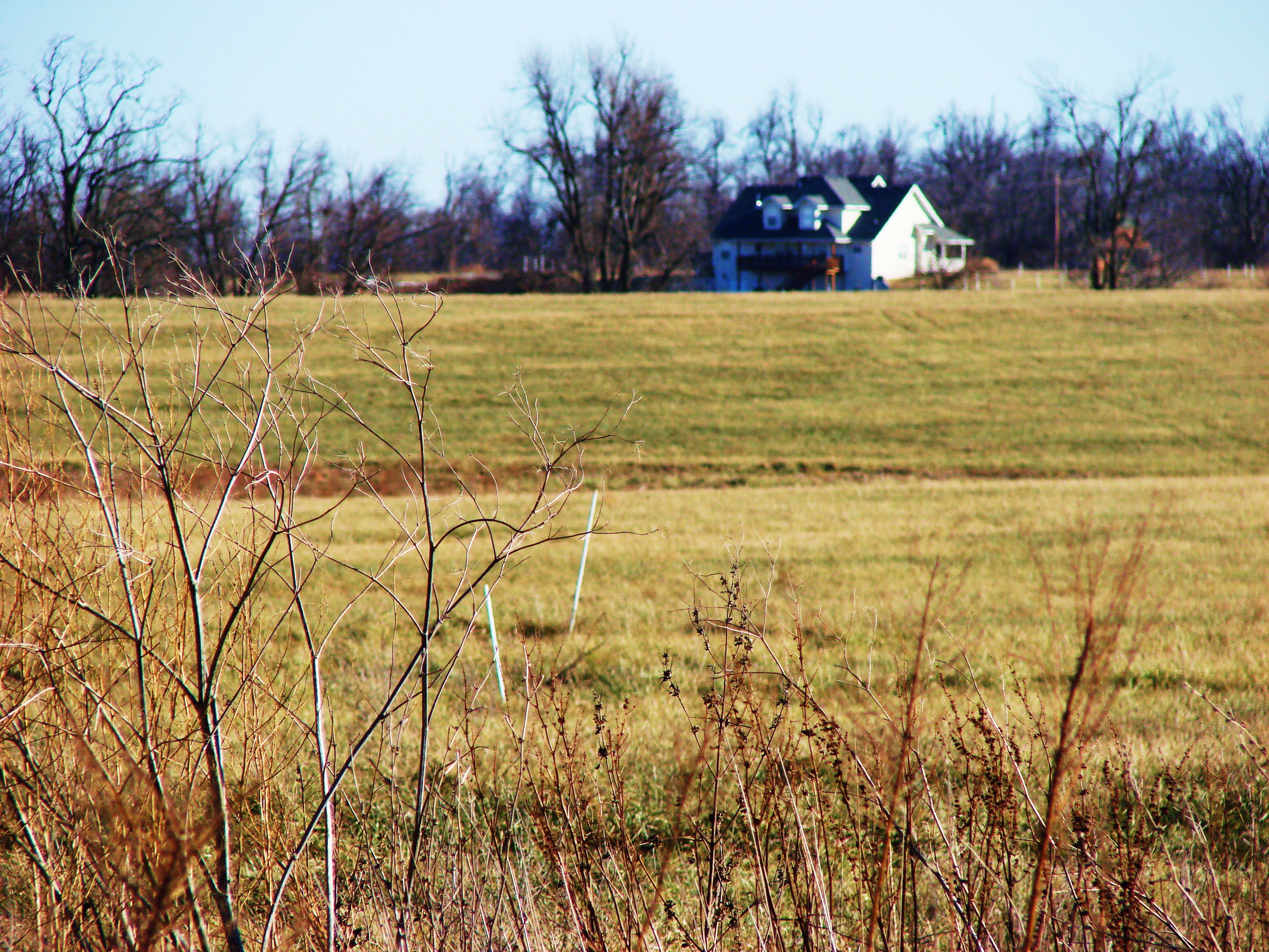
The Ray Family House
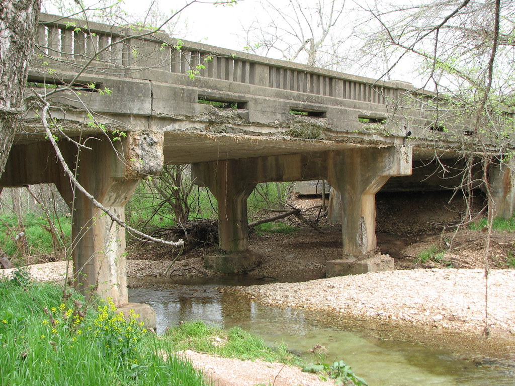
Green Valley Creek- Side View
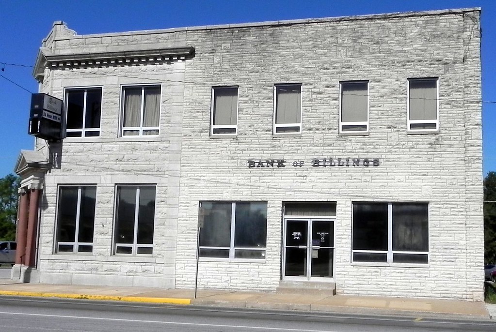
09-28-2010_Bank of Billings side view

Wilsons Creek 336

Wilsons Creek 321
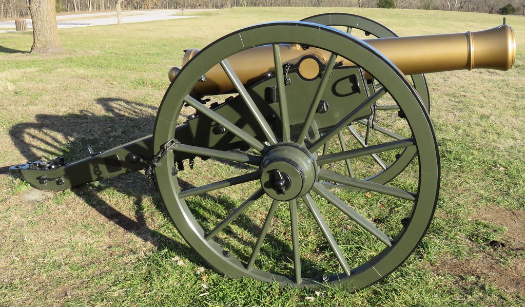
Wilson's Creek National Battlefield Cannon (Christian and Greene Counties, Missouri)
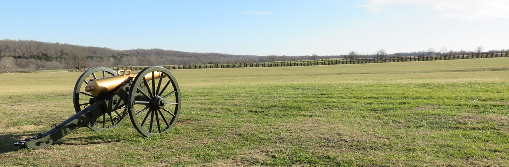
Wilson's Creek National Battlefield (Christian and Greene Counties, Missouri)
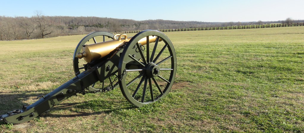
Wilson's Creek National Battlefield (Christian and Greene Counties, Missouri)
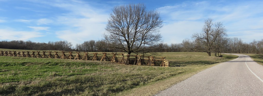
Wilson's Creek National Battlefield (Christian and Greene Counties, Missouri)
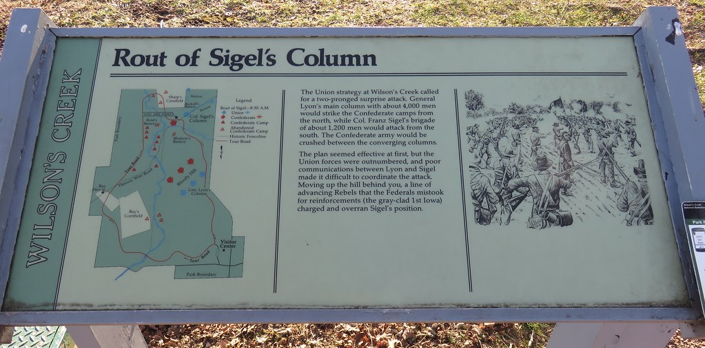
Rout of Sigel's Column Marker (Wilson's Creek National Battlefield, Missouri)
Billings Fake Tilt Shift 2
20110417_007.jpg
Sunflowers before the storm
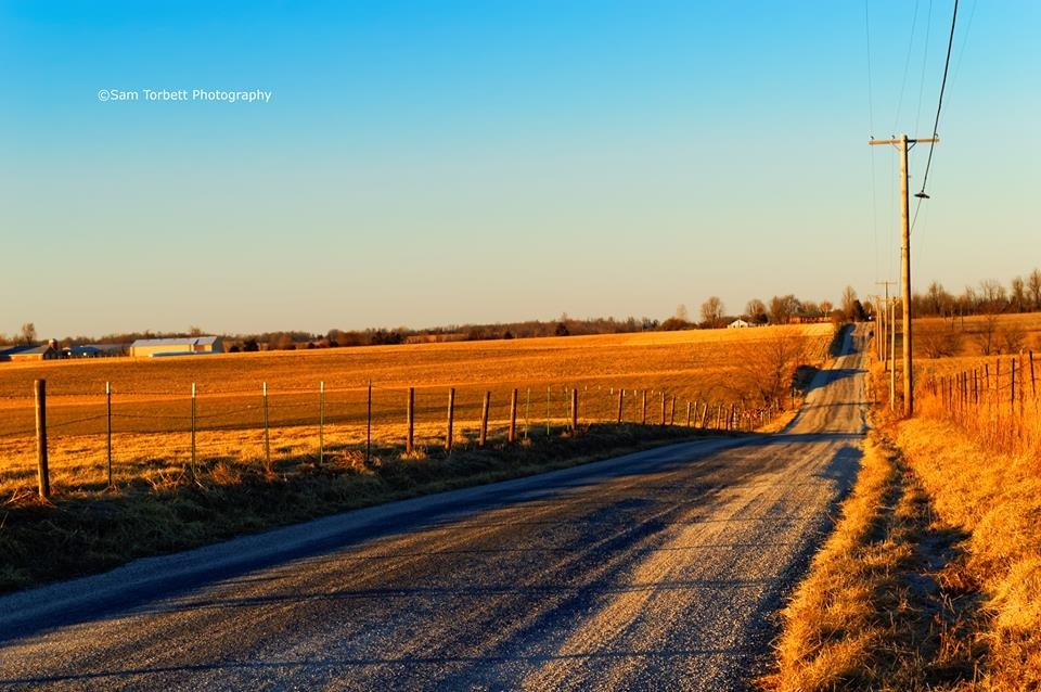
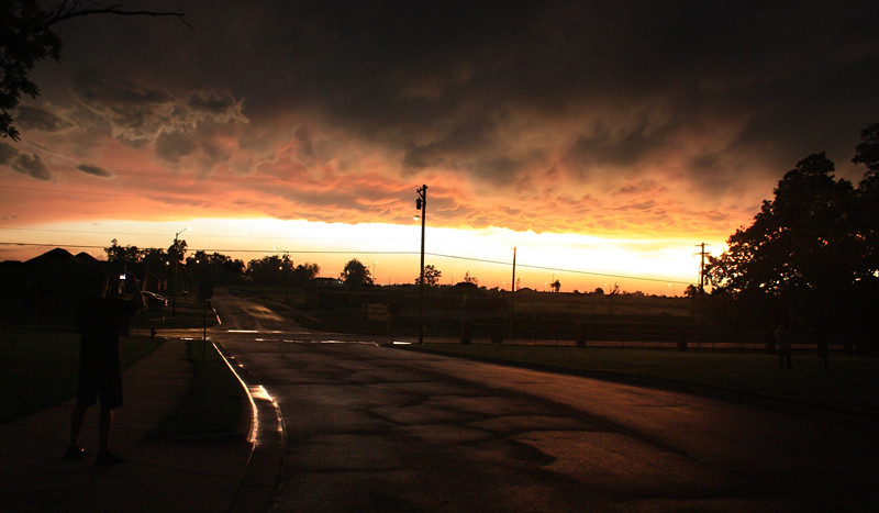
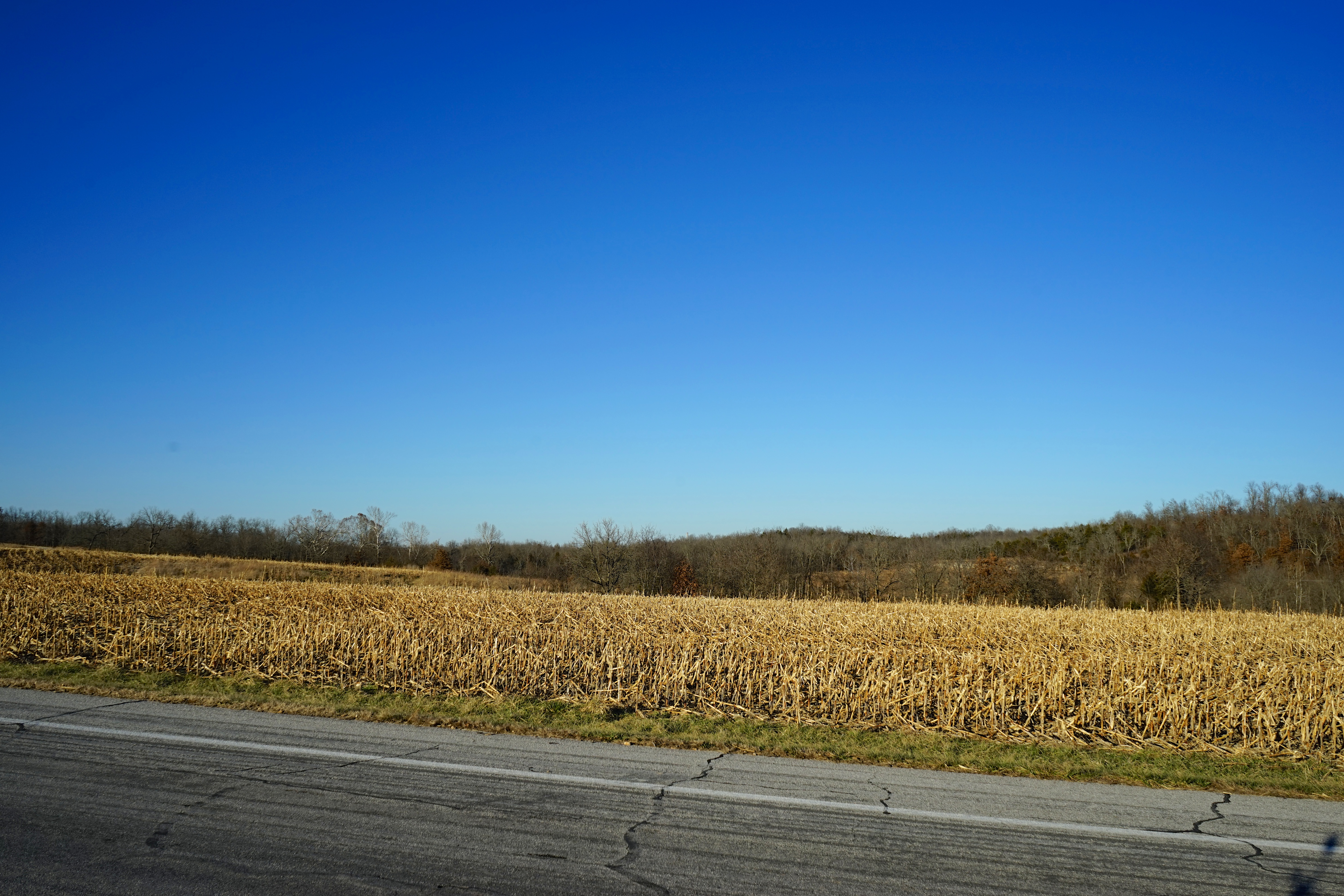
Country Road at Sunset
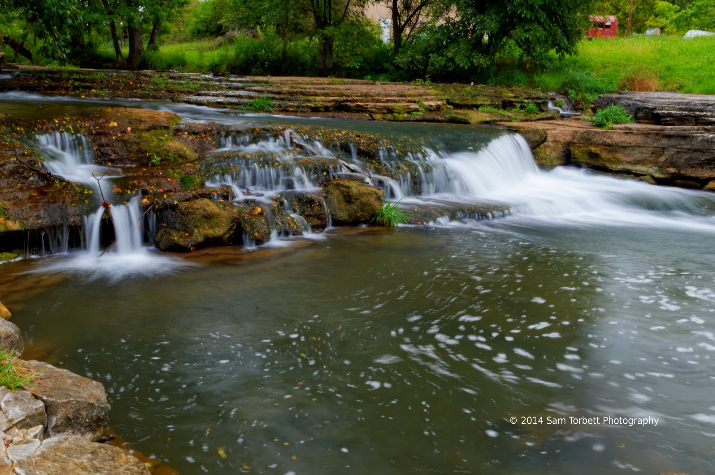
Spring Creek
Home for the Holidys 2013-12-27 [16 of 78]
Home for the Holidys 2013-12-27 [14 of 78]
Home for the Holidys 2013-12-27 [12 of 78]
not your average Barney
Home for the Holidys 2013-12-27 [15 of 78]
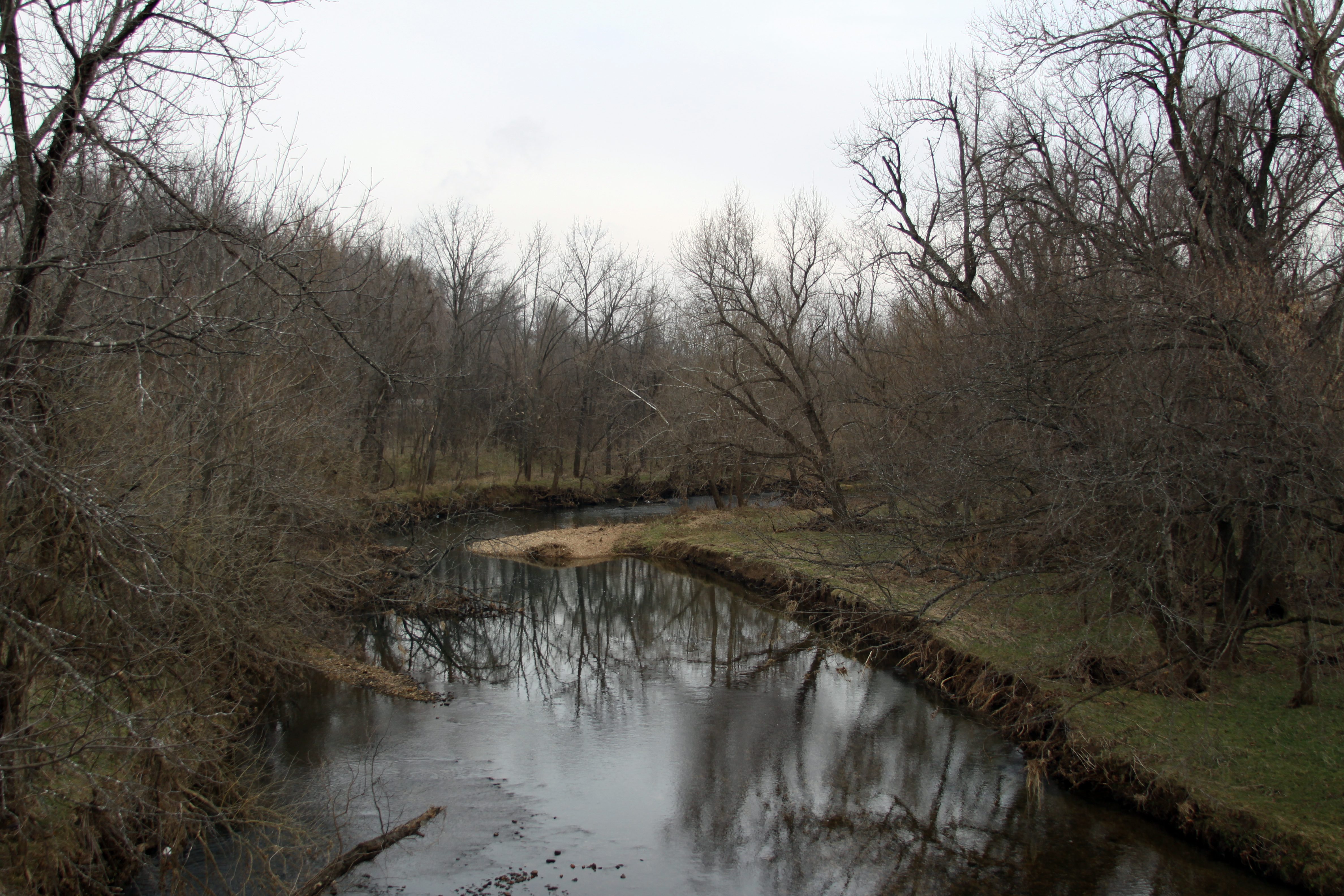
Wilson's Creek
The river near my home.

Two Rivers Bike Park
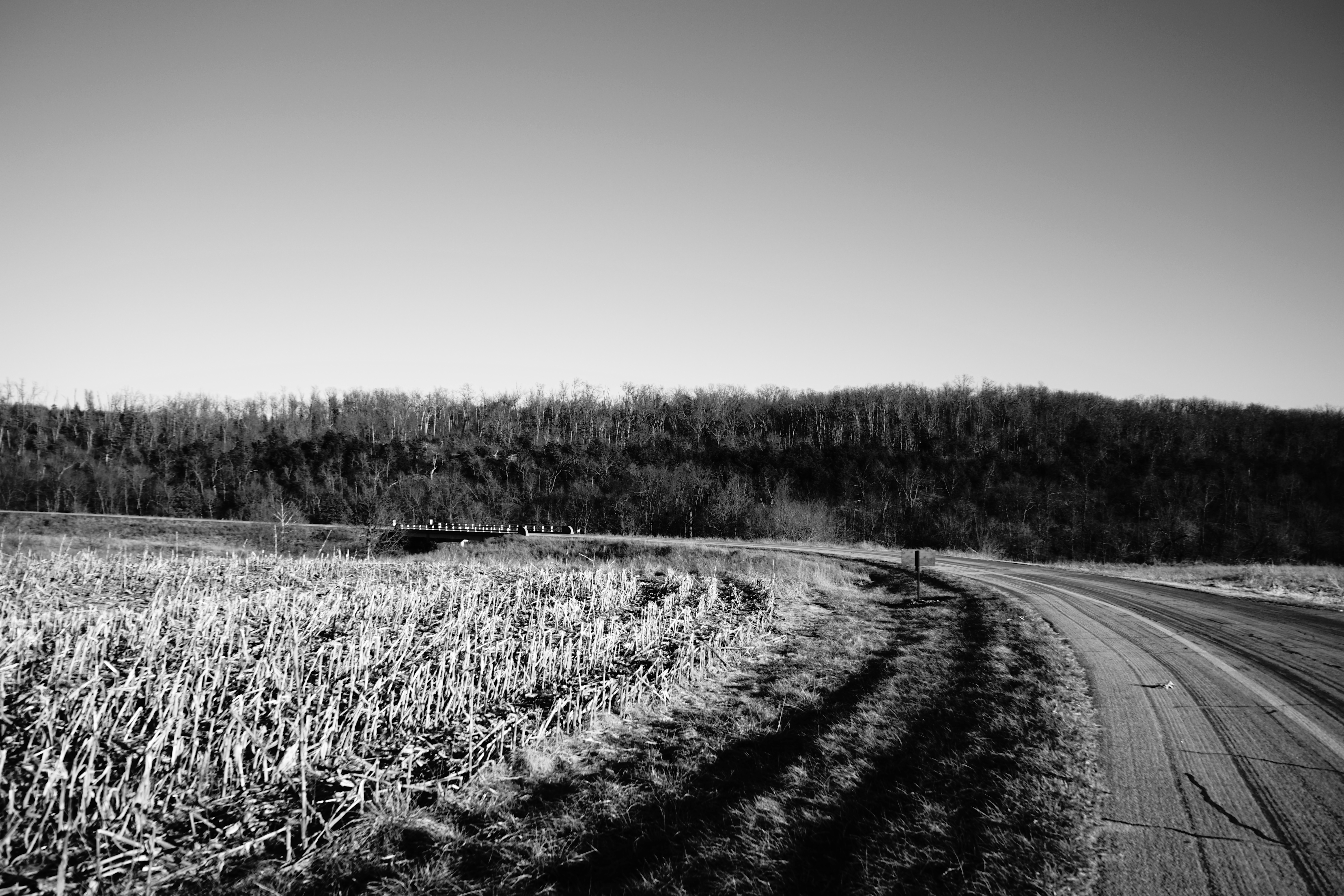
Snow Drop Rd.
The Edgar Cemetery
Home for the Holidys 2013-12-27 [31 of 78]
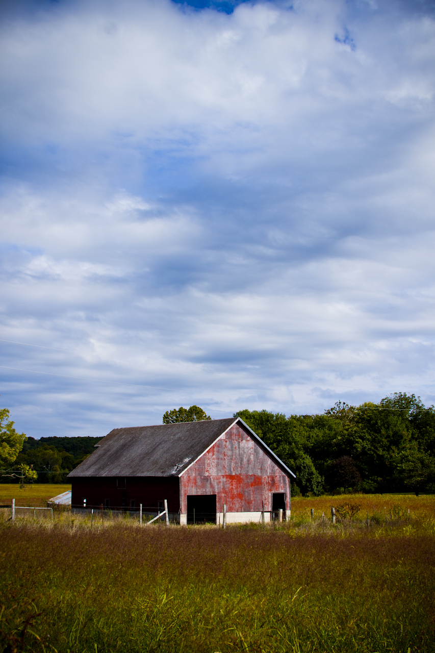
Southern Missouri Home

Home for the Holidys 2013-12-27 [30 of 78]
Topographic Map of 25 Basil Ln, Billings, MO, USA
Find elevation by address:

Places near 25 Basil Ln, Billings, MO, USA:
State Hwy K, Billings, MO, USA
Union Township
Hurley Township
E Main St, Crane, MO, USA
Hurley
486 Petunia Ln
952 Monterrey Rd
2416 Seneca Rd
Rosedale Township
320 Faught Rd
320 Faught Rd
320 Faught Rd
604 Aspen Rd
657 Ash Cir
U.s. 160
U.s. 160
U.s. 160
Highlandville
E Mt Vernon St, Nixa, MO, USA
Nixa
Recent Searches:
- Elevation of Corso Fratelli Cairoli, 35, Macerata MC, Italy
- Elevation of Tallevast Rd, Sarasota, FL, USA
- Elevation of 4th St E, Sonoma, CA, USA
- Elevation of Black Hollow Rd, Pennsdale, PA, USA
- Elevation of Oakland Ave, Williamsport, PA, USA
- Elevation of Pedrógão Grande, Portugal
- Elevation of Klee Dr, Martinsburg, WV, USA
- Elevation of Via Roma, Pieranica CR, Italy
- Elevation of Tavkvetili Mountain, Georgia
- Elevation of Hartfords Bluff Cir, Mt Pleasant, SC, USA