Elevation of Ash Cir, Nixa, MO, USA
Location: United States > Missouri > Christian County > Garden Grove Township > Nixa >
Longitude: -93.312015
Latitude: 37.02713
Elevation: 395m / 1296feet
Barometric Pressure: 97KPa
Elevation Map:
Satellite Map:
Related Photos:

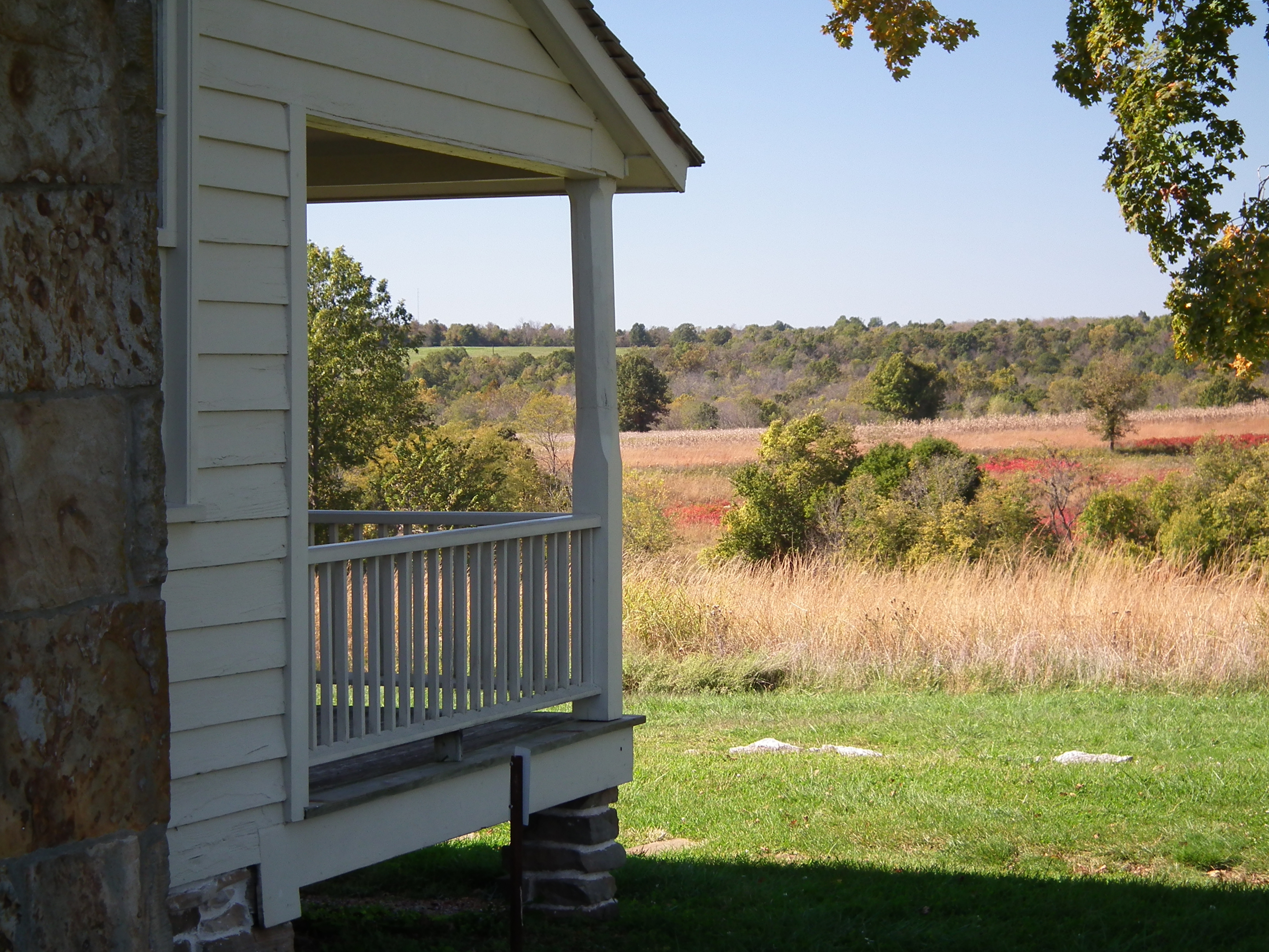
The Ray House

Enjoying The View At Eagle Point
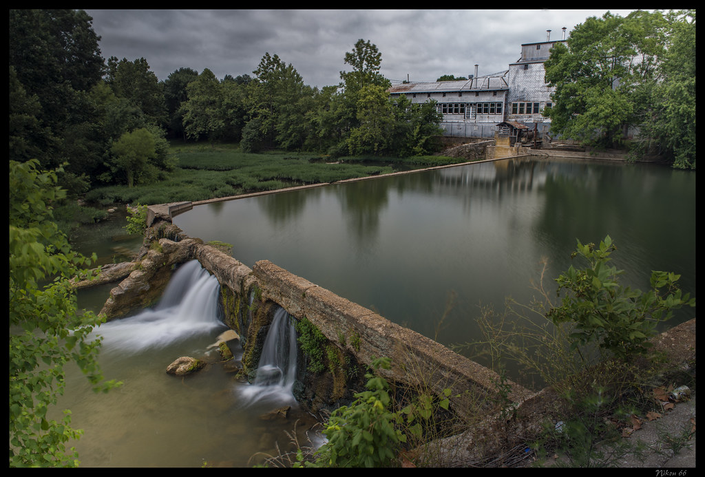
Ozark Mill - No. 1
a peace of history
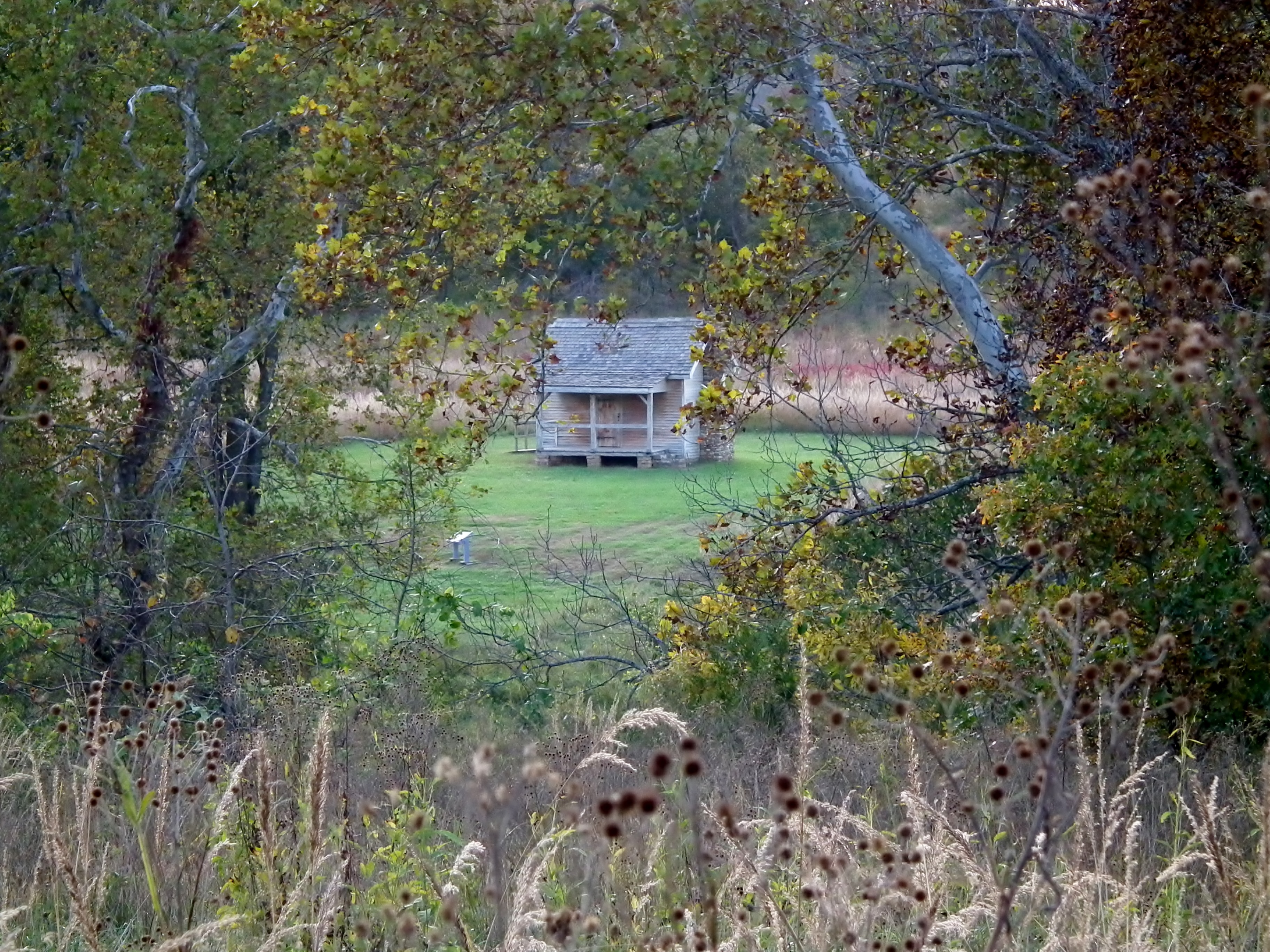
General Sterling Price's Headquarters

Ozark Mill - No. 2
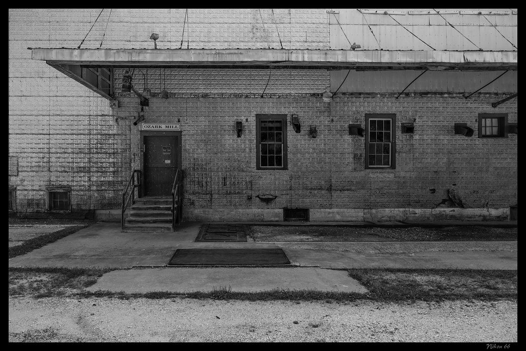
Ozark Mill - No. 3
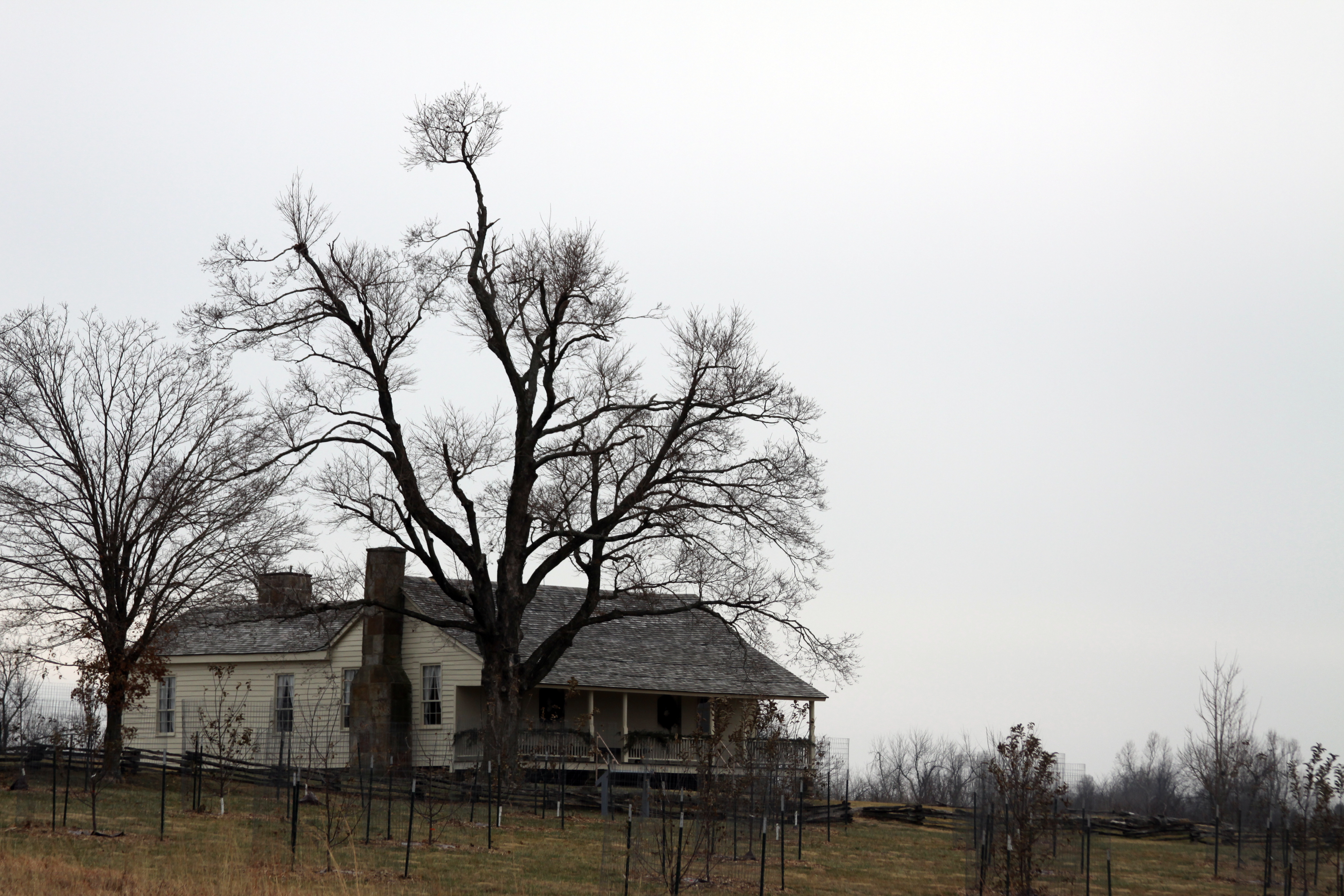
The Ray Family House

Wilsons Creek 336
Wilson's Creek National Battlefield (Christian and Greene Counties, Missouri)

Panoramic views of Springfield, Mo.'s Nature Conservation.
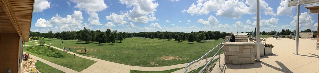
Panoramic views of Springfield, Mo.'s Nature Conservation.
Panoramic views of Springfield, Mo.'s Nature Conservation.
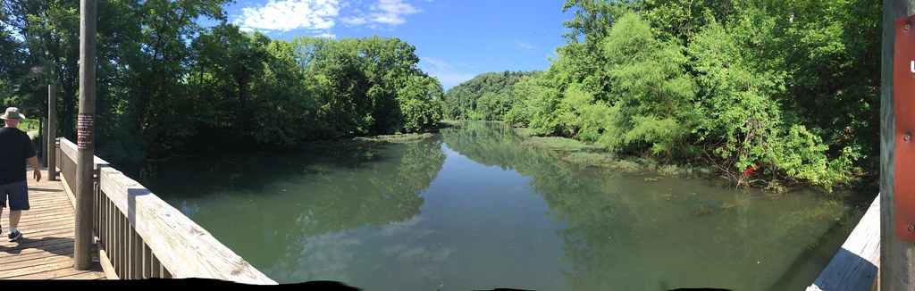
Panoramic views of Springfield, Mo.'s Nature Conservation.

I'm looking right at you! View Large!

I'm looking right at you! View Large!
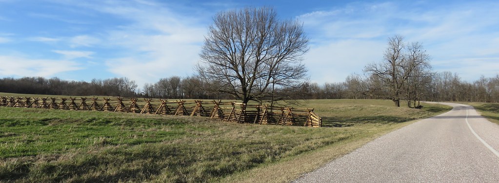
Wilson's Creek National Battlefield (Christian and Greene Counties, Missouri)
Wilson's Creek National Battlefield (Christian and Greene Counties, Missouri)
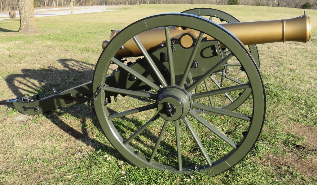
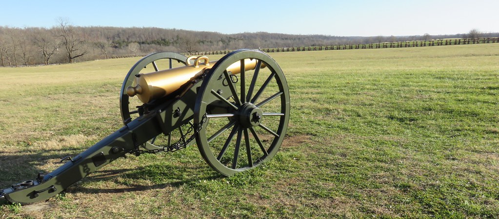
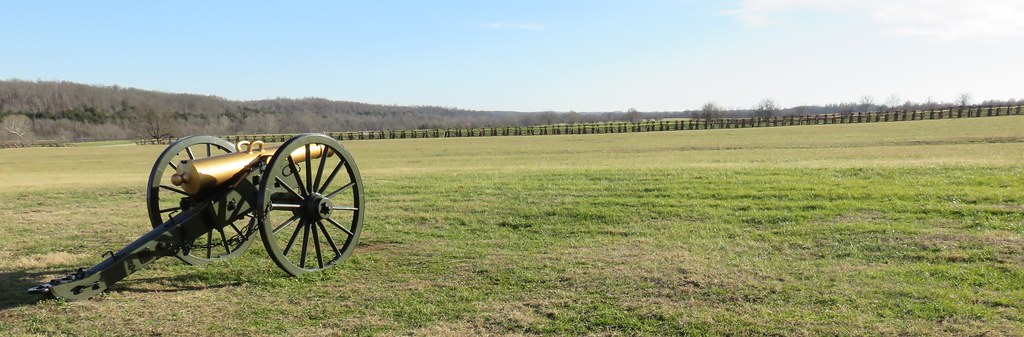
Wilson's Creek National Battlefield Cannon (Christian and Greene Counties, Missouri)
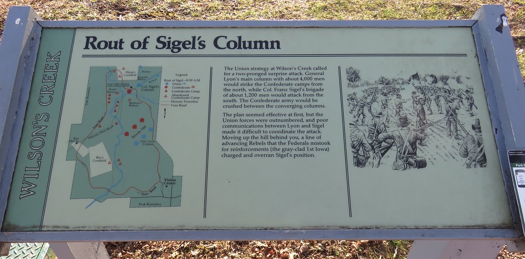
Rout of Sigel's Column Marker (Wilson's Creek National Battlefield, Missouri)
... on the other side

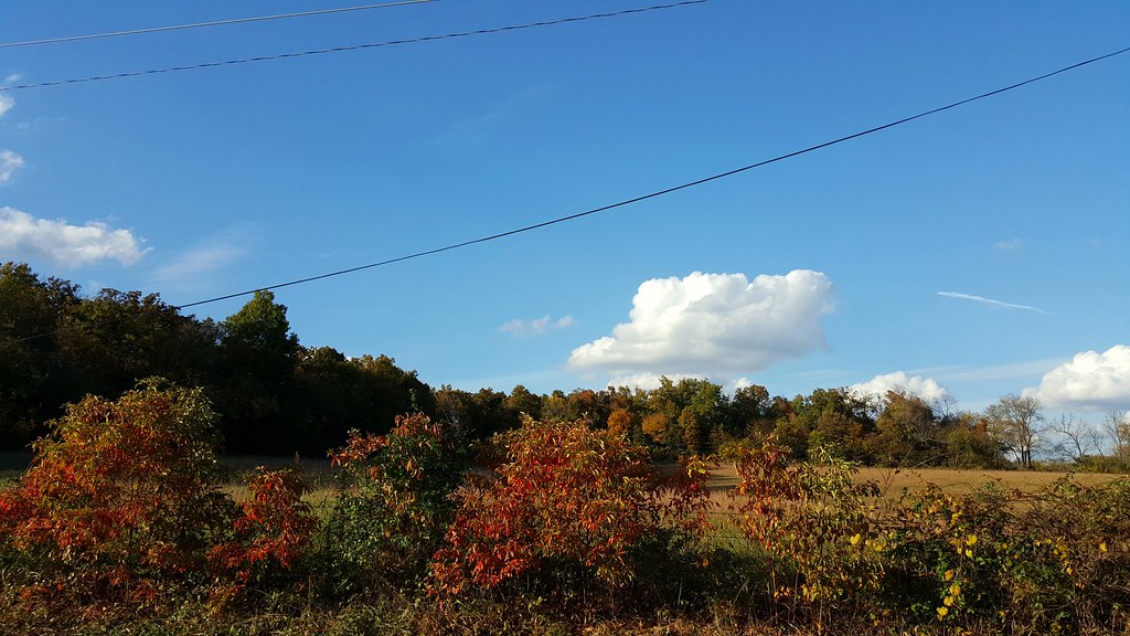
Follow The Color
Sequiota Park

Ginger Kayaking on James River, Springfield Missouri
Finley River
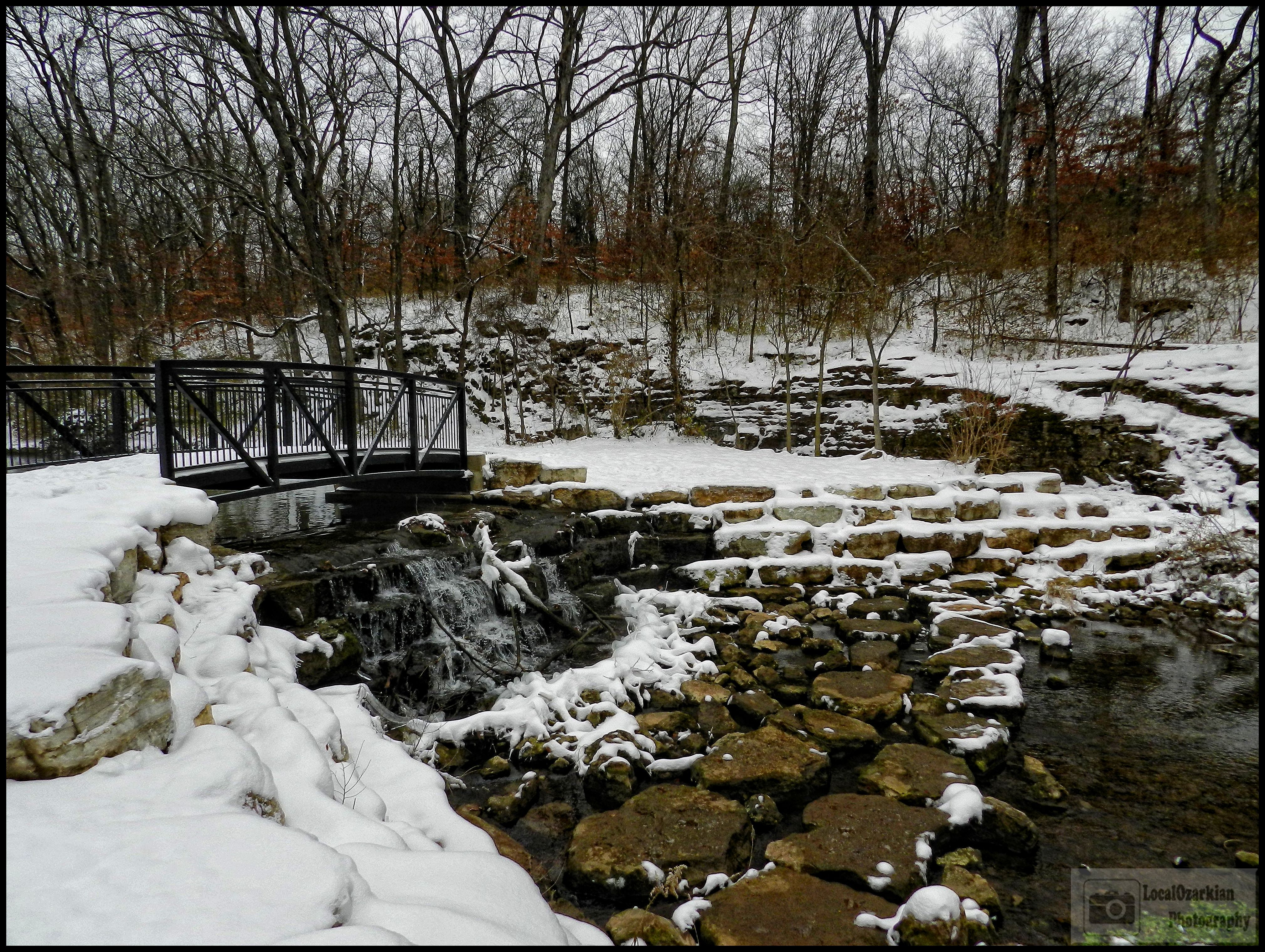
Lindenlure falls
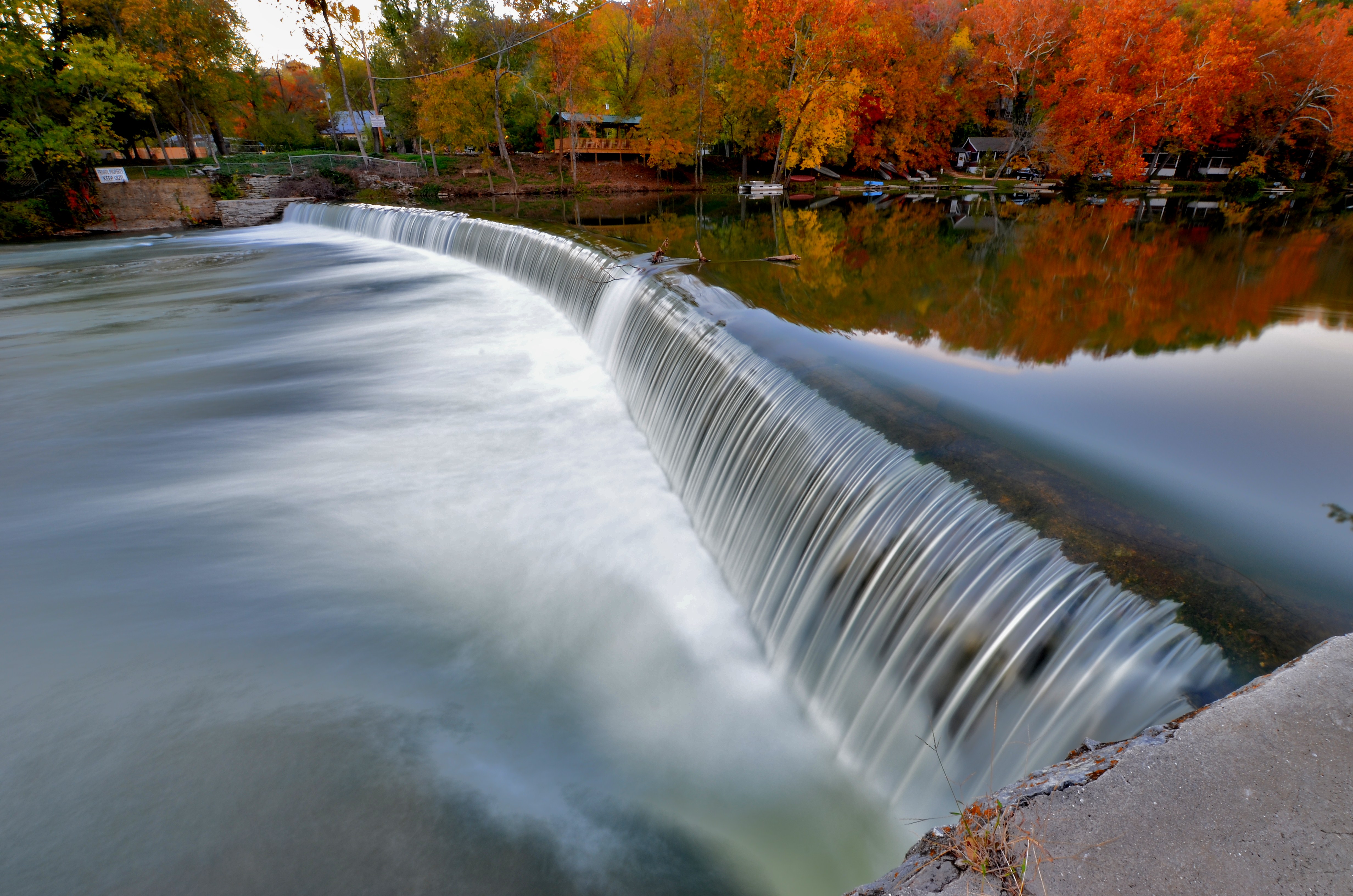
Linden Lure Falls

Tonight's Sunset
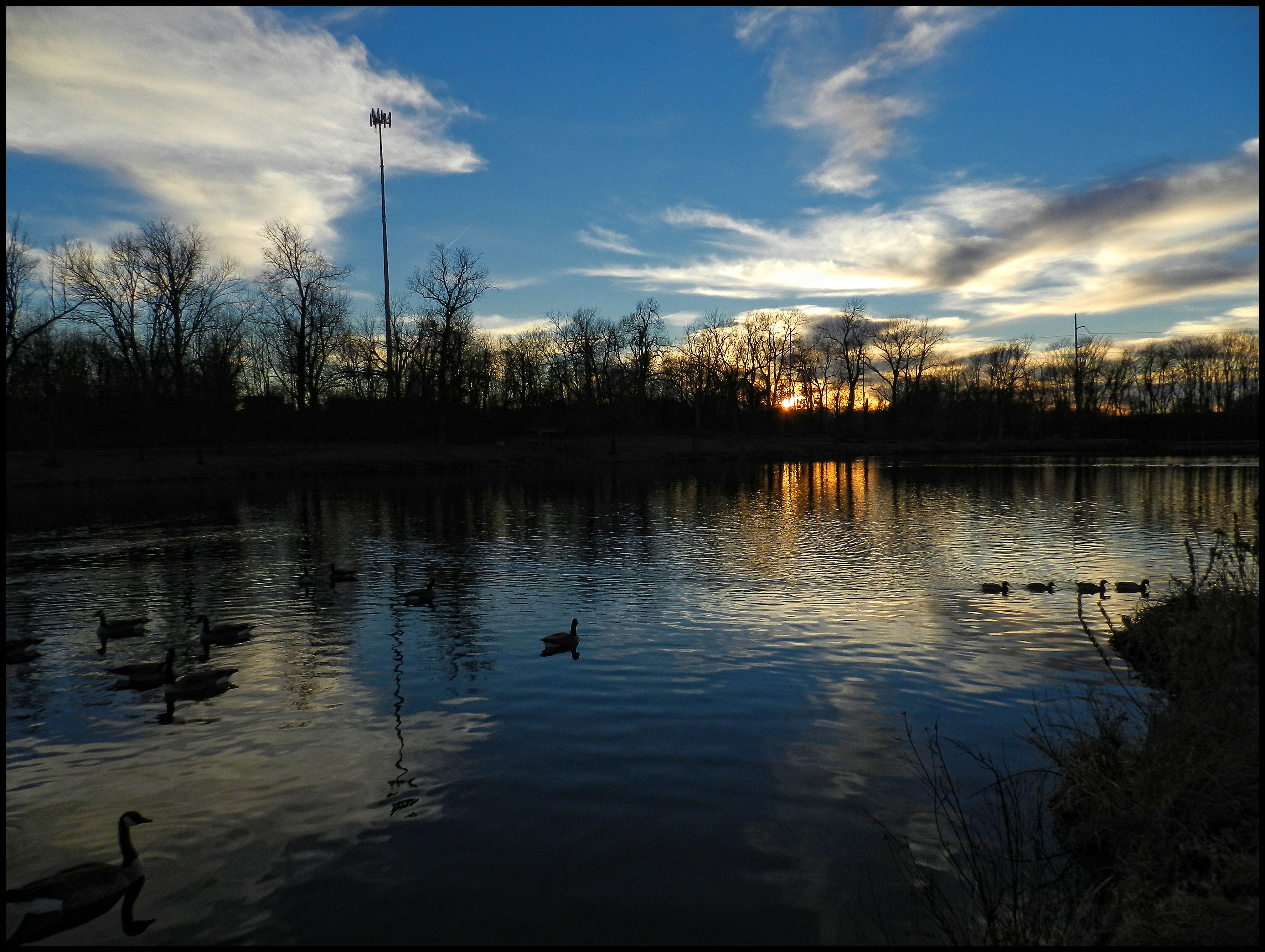
Tonight's Sunset

Lake Springfield

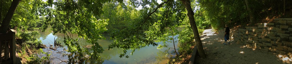
Springfield Conservation Nature Center
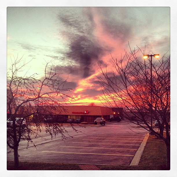
The sky is on fire!
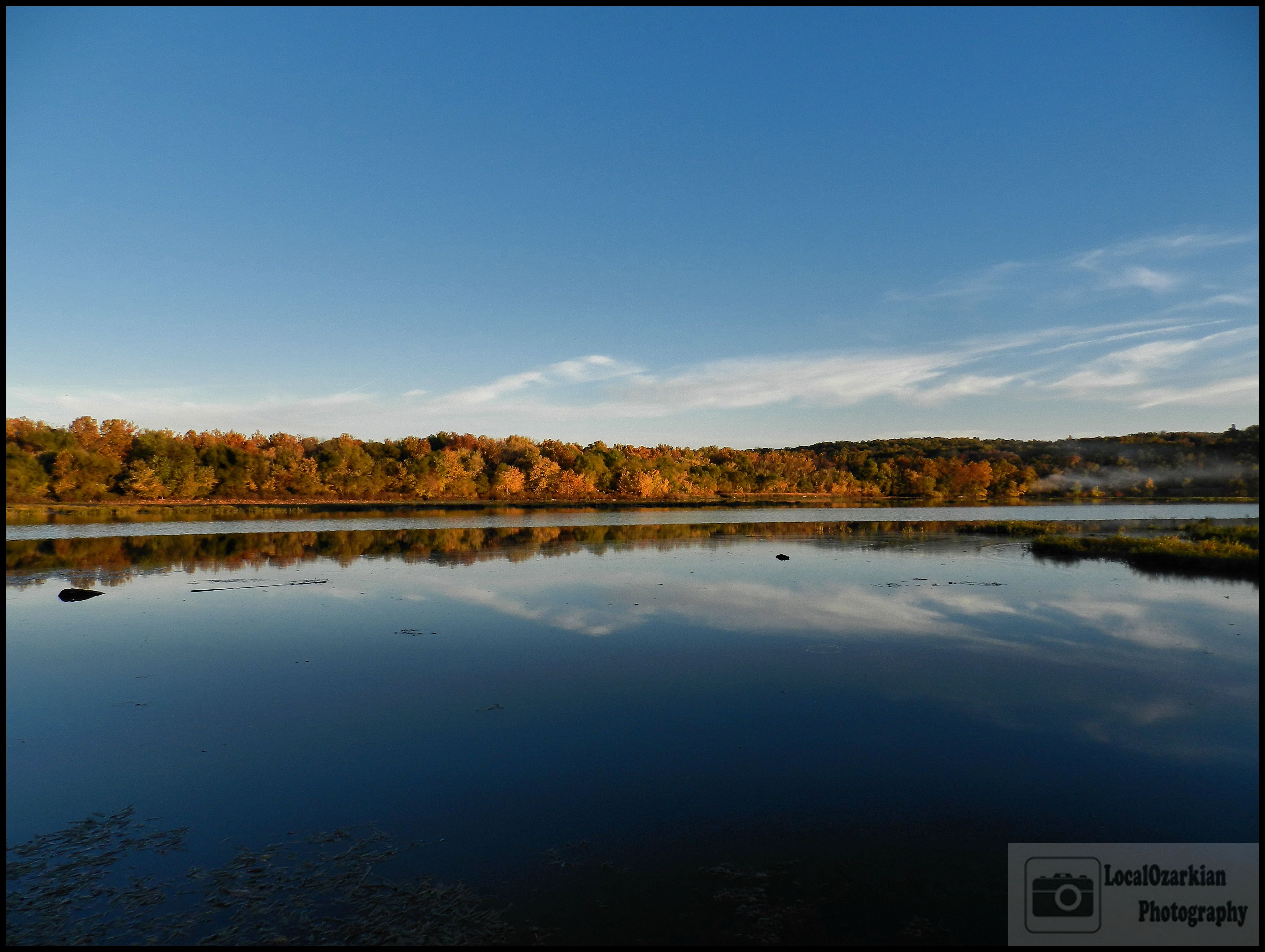
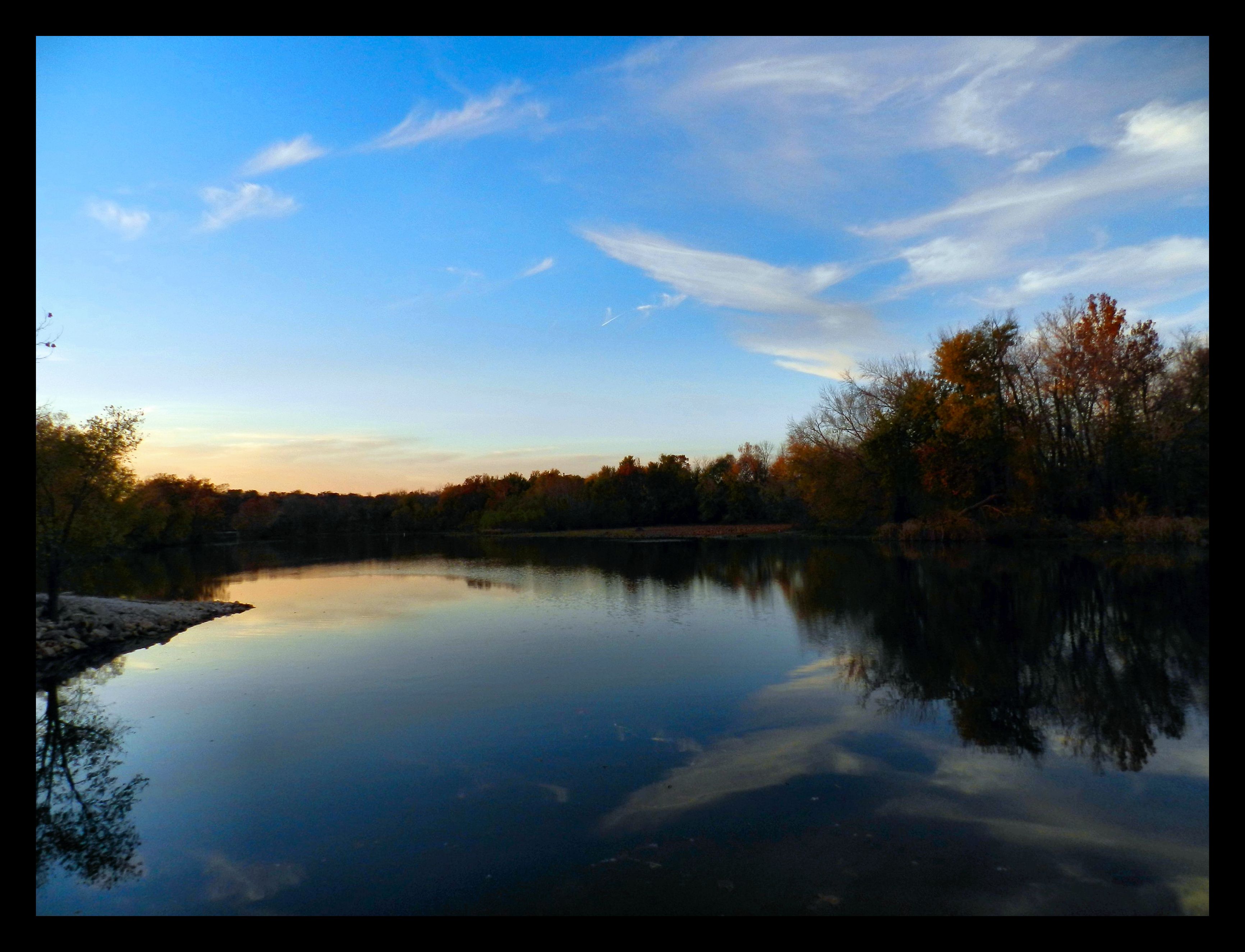
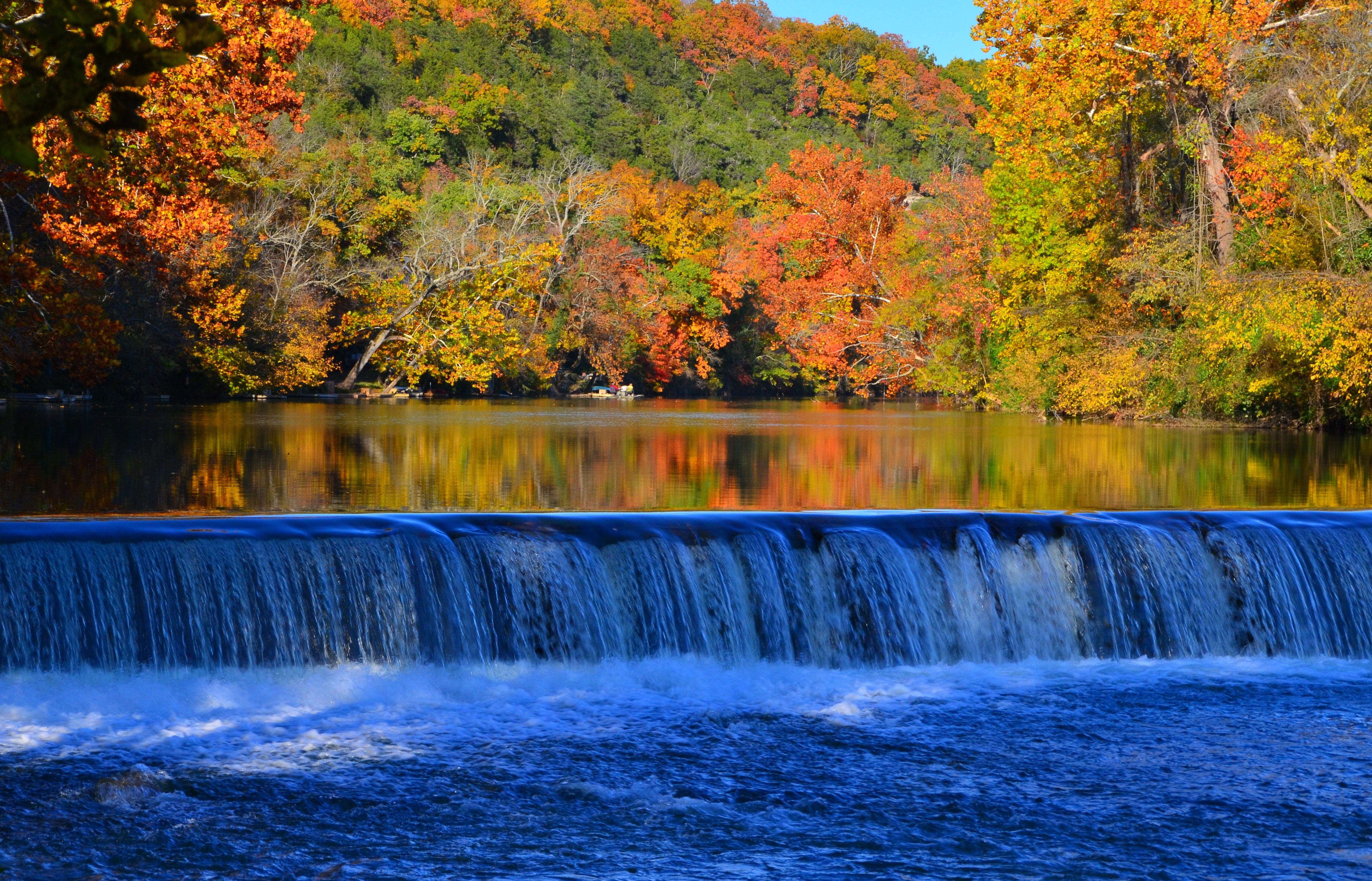
Fall At Lake Springfield
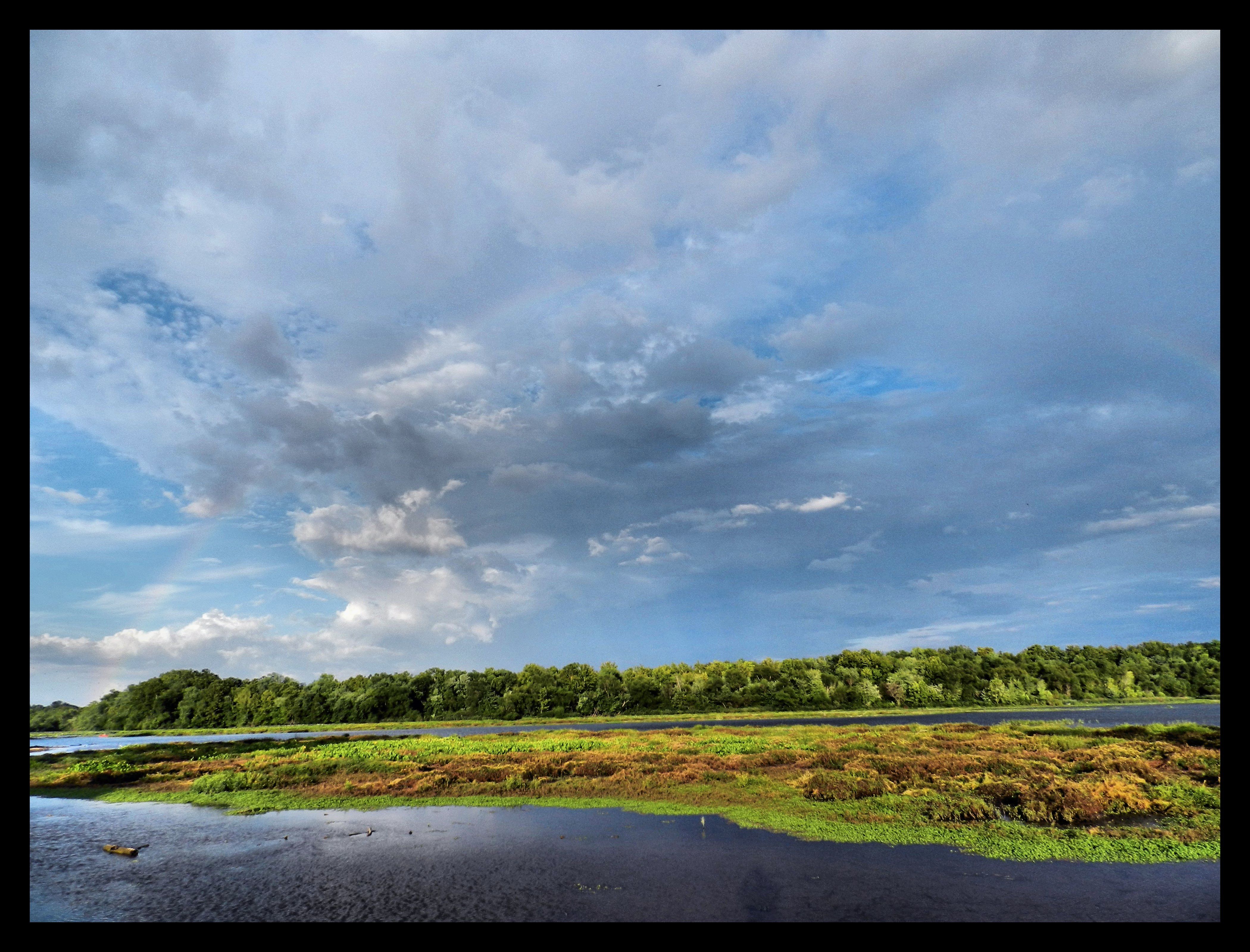
Lake Springfield
Nathaniel Greene
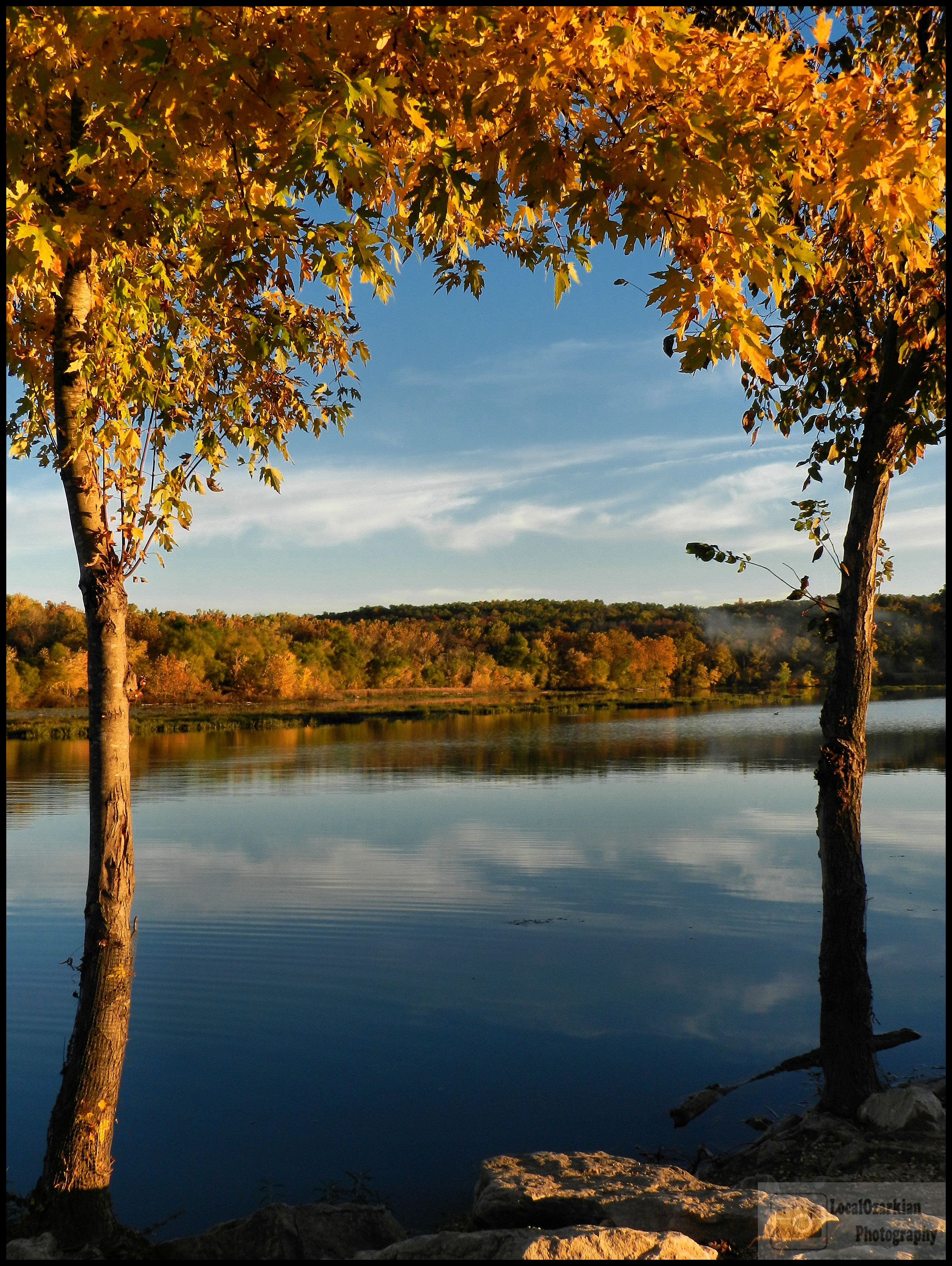
Fall At Lake Springfield
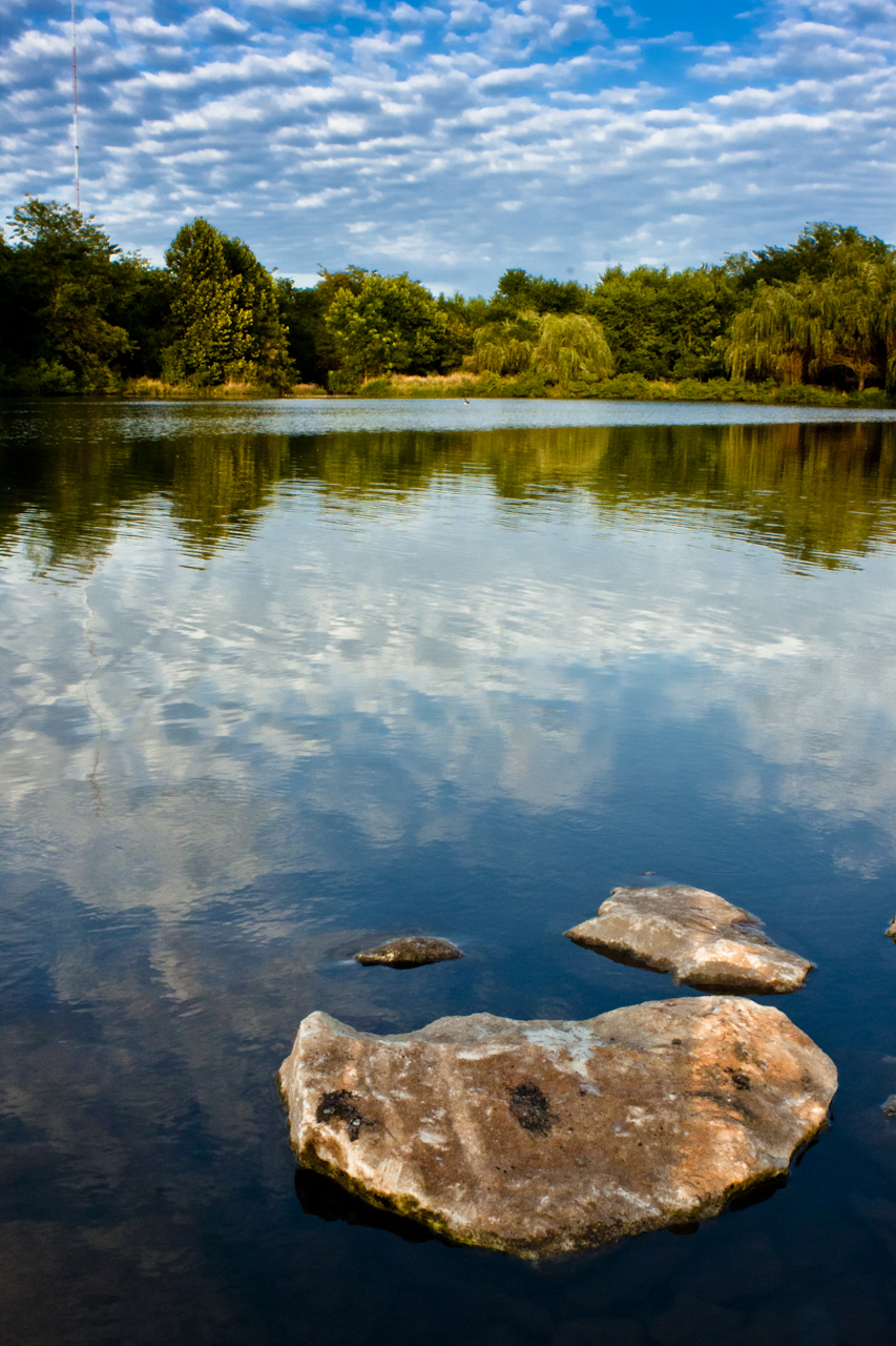
Landscape 001
A Filled Up Drummond Lake
20110731_002h.jpg

Fall At Lake Springfield
Landscape 002
Topographic Map of Ash Cir, Nixa, MO, USA
Find elevation by address:

Places near Ash Cir, Nixa, MO, USA:
U.s. 160
U.s. 160
U.s. 160
Rosedale Township
E Mt Vernon St, Nixa, MO, USA
Nixa
Garden Grove Township
501 E Mc Cauley Farm Rd
Northview Township
2416 Seneca Rd
320 Faught Rd
320 Faught Rd
320 Faught Rd
486 Petunia Ln
Cassidy Township
604 Aspen Rd
1720 Westminster Dr
952 Monterrey Rd
Highlandville
North Galloway Township
Recent Searches:
- Elevation of Tenjo, Cundinamarca, Colombia
- Elevation of Côte-des-Neiges, Montreal, QC H4A 3J6, Canada
- Elevation of Bobcat Dr, Helena, MT, USA
- Elevation of Zu den Ihlowbergen, Althüttendorf, Germany
- Elevation of Badaber, Peshawar, Khyber Pakhtunkhwa, Pakistan
- Elevation of SE Heron Loop, Lincoln City, OR, USA
- Elevation of Slanický ostrov, 01 Námestovo, Slovakia
- Elevation of Spaceport America, Co Rd A, Truth or Consequences, NM, USA
- Elevation of Warwick, RI, USA
- Elevation of Fern Rd, Whitmore, CA, USA