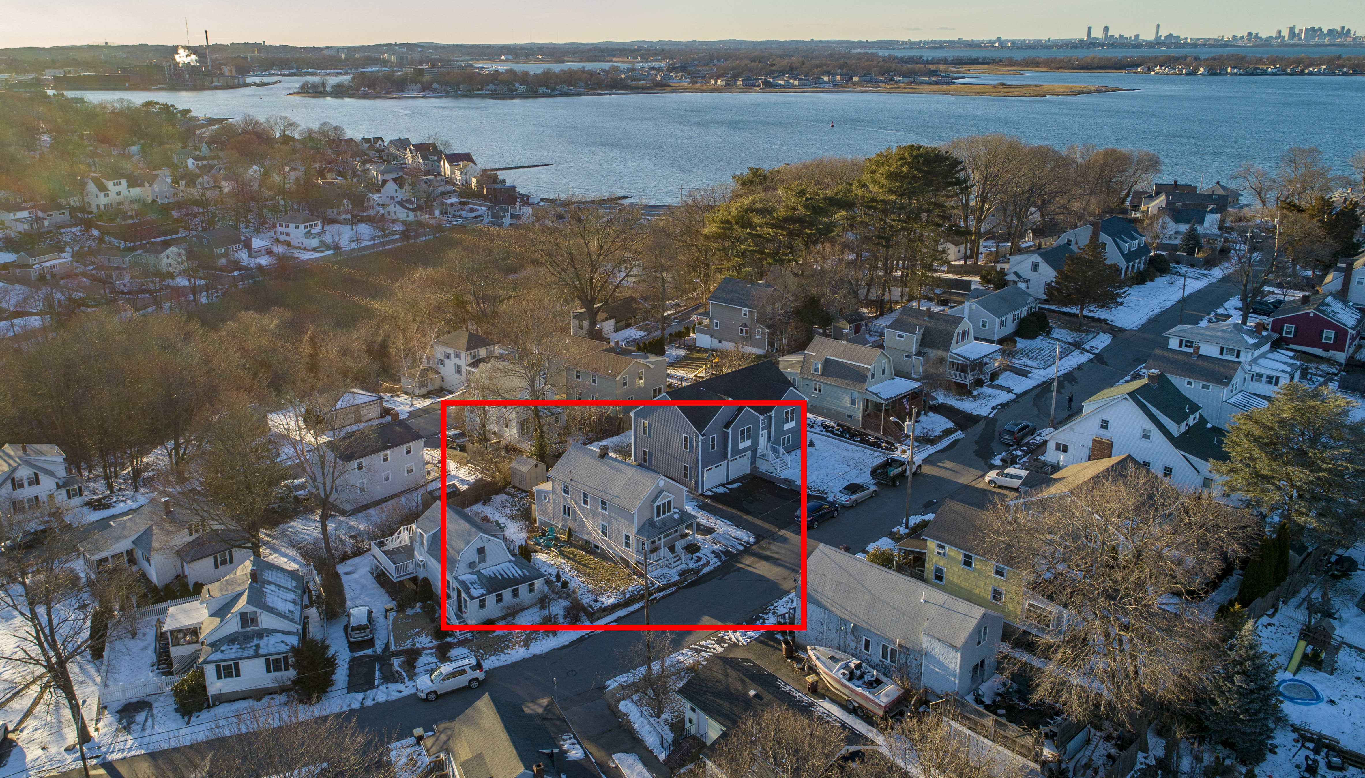
Elevation of 20 Park Ave, Hull, MA, USA
Location: United States > Massachusetts > Plymouth County > Hull >
Longitude: -70.852936
Latitude: 42.2670336
Elevation: 3m / 10feet
Barometric Pressure: 101KPa
Elevation Map:
Satellite Map:
Related Photos:

_RDX0024.jpg

_RDX0974.jpg
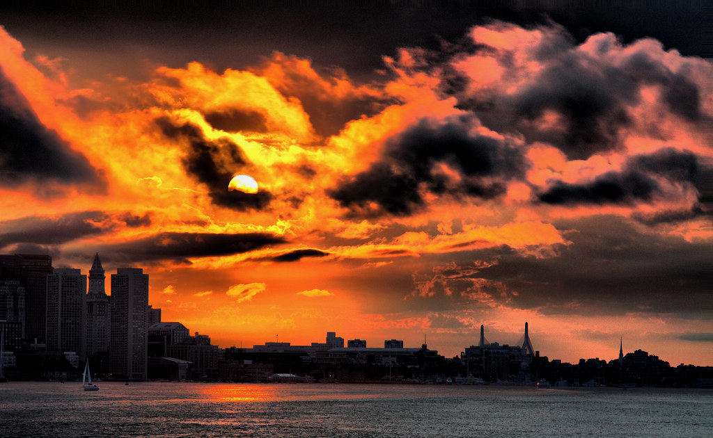
Sunset Cruise
_RDX0852.jpg
5DSR9908.jpg
_M4_0499.jpg
_RDX0159.jpg

_RDX0960.jpg

_M4_9020.jpg
_RDX9532.jpg
_M4_6207.jpg

_M4_3557.jpg
_M4_6177.jpg
_RDX0203.jpg

_M4_2485.jpg
_RDX9875.jpg
_M4_6222.jpg
_RDX3700.jpg

_RDX7170.jpg
_M4_6670.jpg
_RDX9621.jpg

Looking.
at the park in Quincy, MA.

605 Jerusalem (6 of 34)
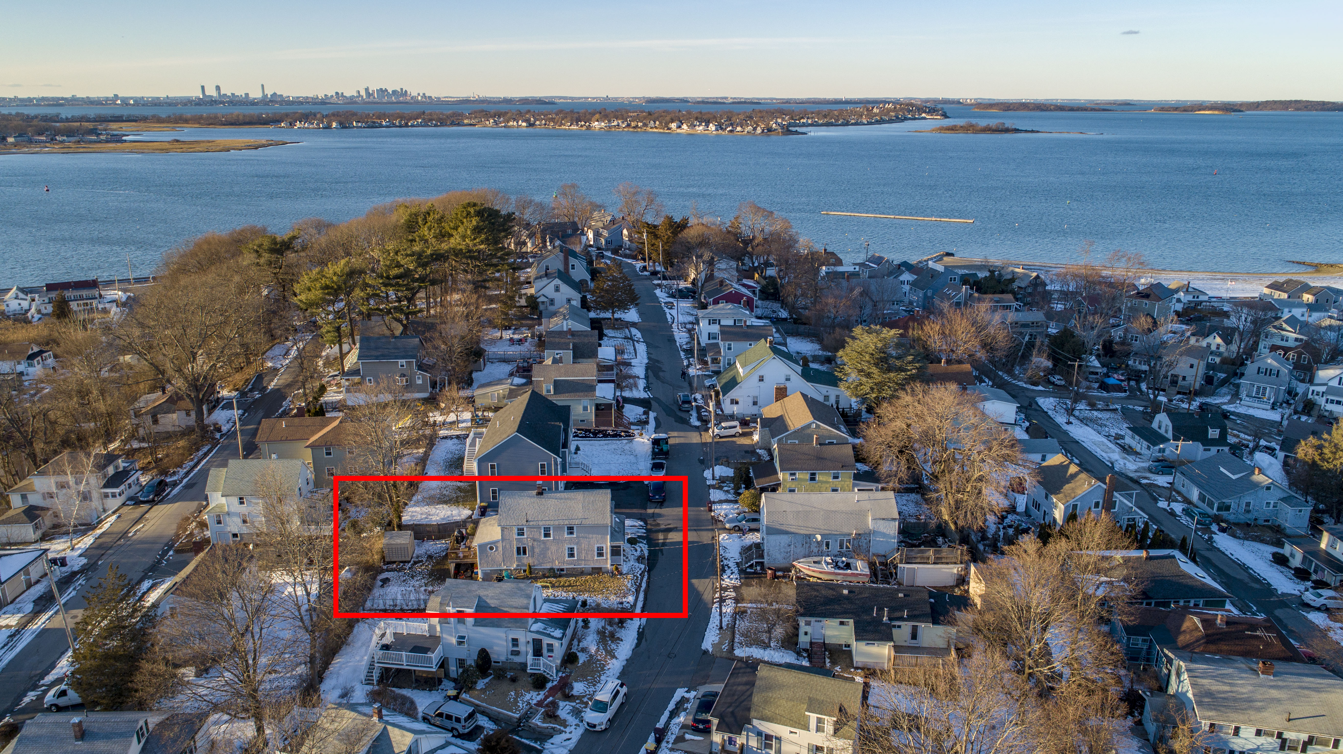
69 Squanto Aerial (2 of 7)
Deer Island Landscape
View of Boston skyline from Deer Island
Winter Solstice at Quincy Quarries

605 Jerusalem (9 of 34)
Fort Independence, South Boston
47 Alfred (09 of 12)
605 Jerusalem (7 of 34)
The sun sets on Scituate harbor.

Sunset over Boston viewed from Head Island
Winthrop Head as viewed from Deer Island
69 Squanto Aerial (3 of 7)

Selfie at Quincy Quarries

sea of "fluffy top grasses"

U n t i t l e d
4th Cliff from 3rd Cliff
North River Wildlife Sanctuary

North Quincy
Topographic Map of 20 Park Ave, Hull, MA, USA
Find elevation by address:

Places near 20 Park Ave, Hull, MA, USA:
20 Rockland Cir
15 Rockland House Rd
280 Atlantic Ave
Burr Road
83 Bonnie Brier Cir
33 Bonnie Brier Cir
23 Bonnie Brier Cir
16 Bonnie Brier Cir
264 Nantasket Ave
10 Bonnie Brier Cir
20 Hampton Cir
Jerusalem Rd, Cohasset, MA, USA
59 Bay St
Powers Lane
World's End
3 Ledgewood Cir
3 Ledgewood Cir
19 Andrew Isle Rd
3 Glenwood Rd
43 Jones St
Recent Searches:
- Elevation of Redondo Ave, Long Beach, CA, USA
- Elevation of Sadovaya Ulitsa, 20, Rezh, Sverdlovskaya oblast', Russia
- Elevation of Ulitsa Kalinina, 79, Rezh, Sverdlovskaya oblast', Russia
- Elevation of 72-31 Metropolitan Ave, Middle Village, NY, USA
- Elevation of 76 Metropolitan Ave, Brooklyn, NY, USA
- Elevation of Alisal Rd, Solvang, CA, USA
- Elevation of Vista Blvd, Sparks, NV, USA
- Elevation of 15th Ave SE, St. Petersburg, FL, USA
- Elevation of Beall Road, Beall Rd, Florida, USA
- Elevation of Leguwa, Nepal