Elevation of 15 Rockland House Rd, Hull, MA, USA
Location: United States > Massachusetts > Plymouth County > Hull >
Longitude: -70.850759
Latitude: 42.2657353
Elevation: 9m / 30feet
Barometric Pressure: 101KPa
Elevation Map:
Satellite Map:
Related Photos:

_RDX0974.jpg

_D2_8975crop.jpg
_RDX3008.jpg
_RDX6629.jpg
_RDX0852.jpg
5DSR9908.jpg

_RDX1048.jpg
_M4_0499.jpg
_D2_2898.jpg
_RDX6917.jpg

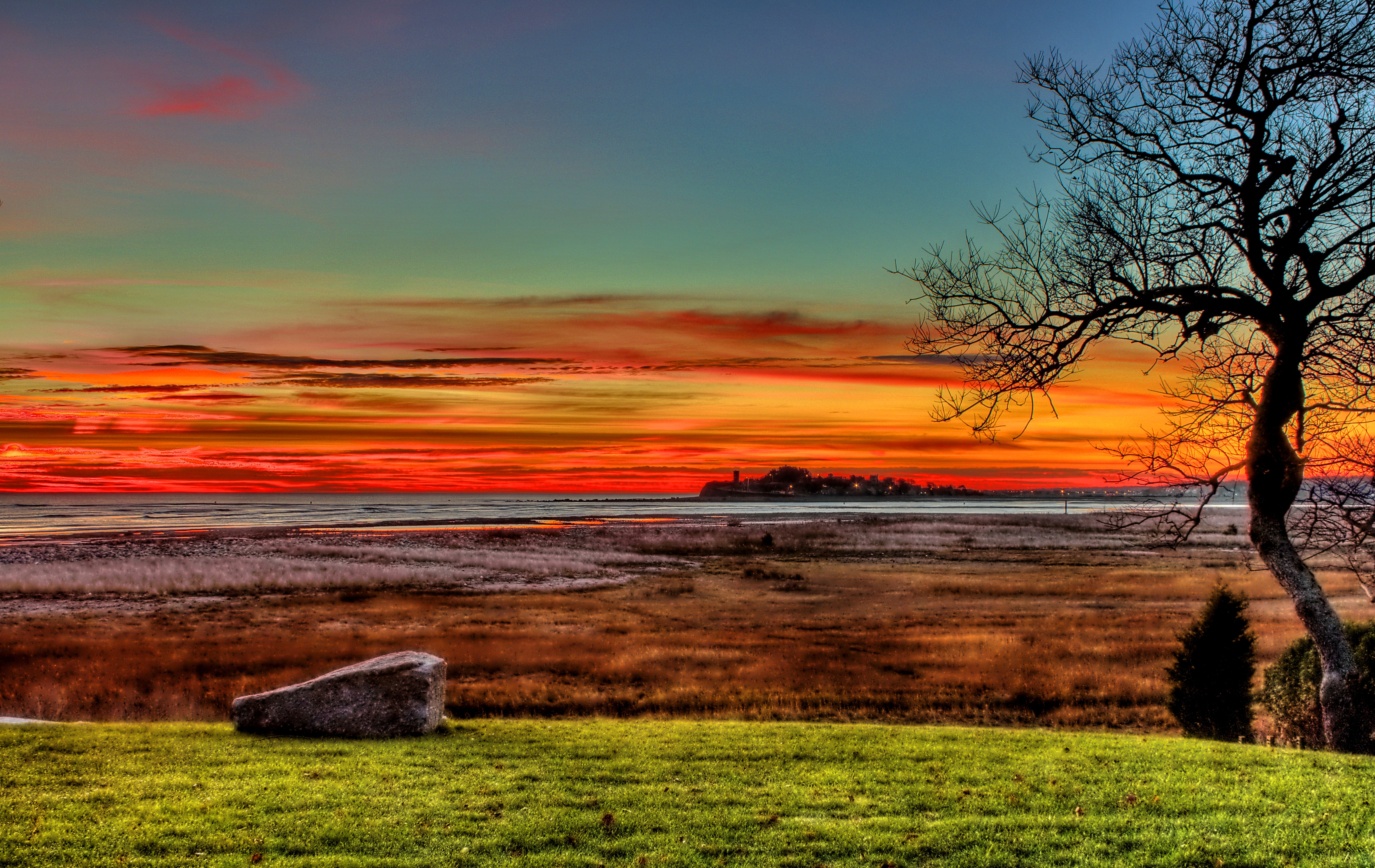
Sunset over Boston viewed from Head Island

_RDX0960.jpg

_M4_9020.jpg
_RDX9532.jpg
_M4_6207.jpg

_M4_3557.jpg
_M4_6177.jpg
_RDX0203.jpg

_M4_2485.jpg
_RDX9875.jpg
_M4_6222.jpg

Looking.
at the park in Quincy, MA.

U n t i t l e d
Deer Island Landscape

Scituate Lighthouse, Scituate MA (06-01-17)-17
View of Boston skyline from Deer Island
On top of Quincy Quarries looking towards Boston and Harbor Islands.
Cohasset Harbor - Cohasset, Massachusetts
The sun sets on Scituate harbor.
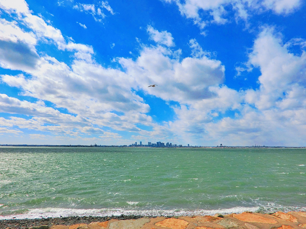
Winthrop Head as viewed from Deer Island

sea of "fluffy top grasses"
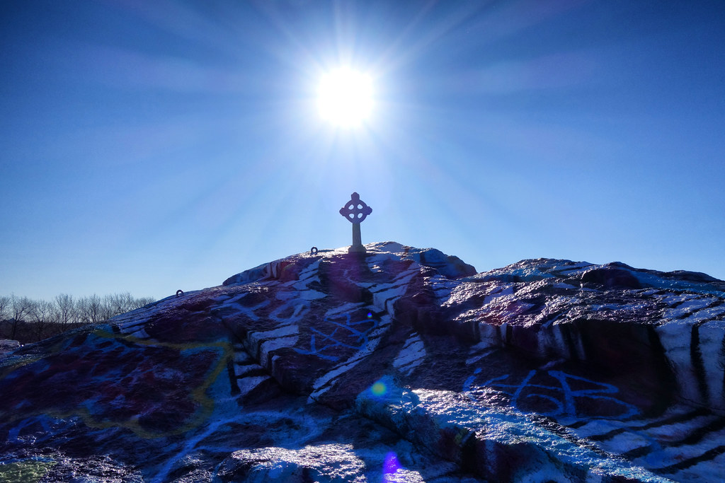
Winter Solstice at Quincy Quarries
No clouds today on George's Island.
4th Cliff from 3rd Cliff
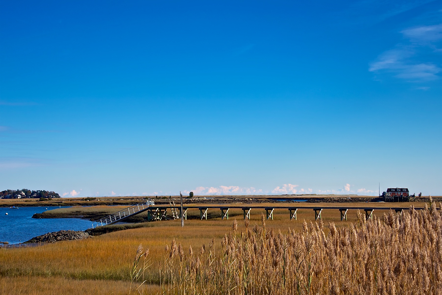
North River Wildlife Sanctuary
47 Alfred (09 of 12)
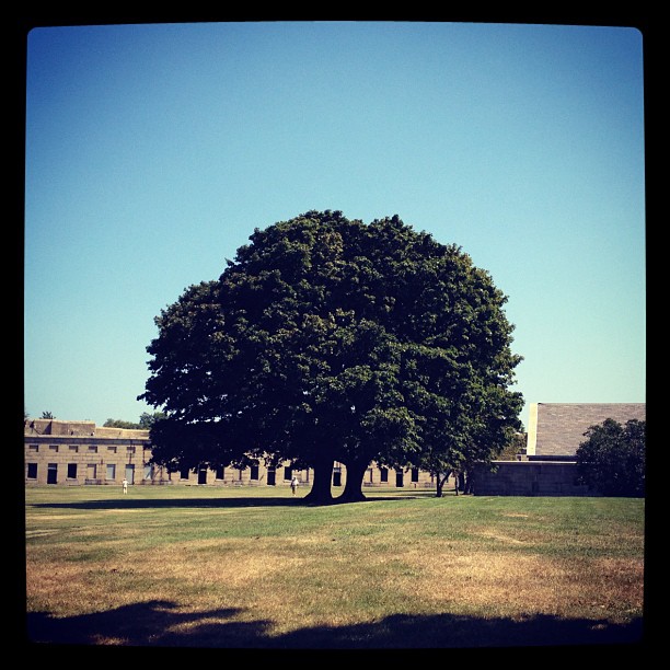
Fort Independence, South Boston
19 Ditmar (01 of 30)

#bobbiandleesphotoadventures #chasinglight in #scituateharbour in the evening #iphonography #vividhdr
Quincy night
Topographic Map of 15 Rockland House Rd, Hull, MA, USA
Find elevation by address:

Places near 15 Rockland House Rd, Hull, MA, USA:
280 Atlantic Ave
20 Park Ave
20 Rockland Cir
Burr Road
33 Bonnie Brier Cir
83 Bonnie Brier Cir
23 Bonnie Brier Cir
16 Bonnie Brier Cir
10 Bonnie Brier Cir
Jerusalem Rd, Cohasset, MA, USA
264 Nantasket Ave
20 Hampton Cir
Powers Lane
59 Bay St
World's End
3 Ledgewood Cir
3 Ledgewood Cir
43 Jones St
19 Andrew Isle Rd
3 Glenwood Rd
Recent Searches:
- Elevation of 3 Nestling Wood Dr, Long Valley, NJ, USA
- Elevation of Ilungu, Tanzania
- Elevation of Yellow Springs Road, Yellow Springs Rd, Chester Springs, PA, USA
- Elevation of Rēzekne Municipality, Latvia
- Elevation of Plikpūrmaļi, Vērēmi Parish, Rēzekne Municipality, LV-, Latvia
- Elevation of 2 Henschke Ct, Caboolture QLD, Australia
- Elevation of Redondo Ave, Long Beach, CA, USA
- Elevation of Sadovaya Ulitsa, 20, Rezh, Sverdlovskaya oblast', Russia
- Elevation of Ulitsa Kalinina, 79, Rezh, Sverdlovskaya oblast', Russia
- Elevation of 72-31 Metropolitan Ave, Middle Village, NY, USA