Elevation of 1 Rue des Sources, Flavigny-le-Grand-et-Beaurain, France
Location: France > Nord-pas-de-calais-picardie > Aisne > Flavigny-le-grand-et-beaurain >
Longitude: 3.6669424
Latitude: 49.8928939
Elevation: 101m / 331feet
Barometric Pressure: 100KPa
Elevation Map:
Satellite Map:
Related Photos:
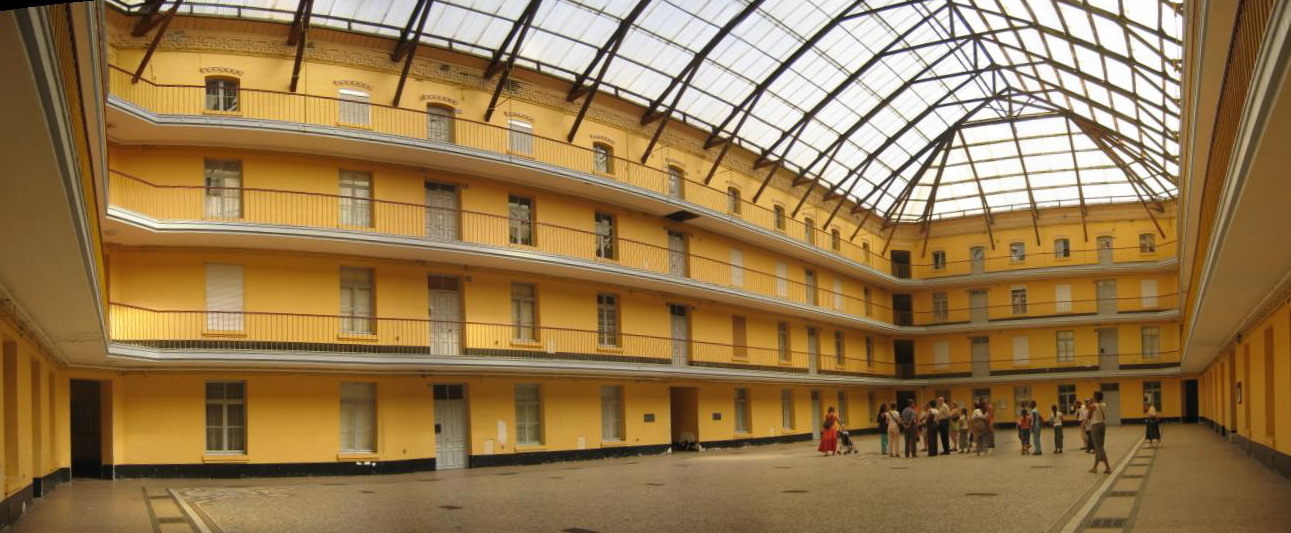
IMG_4581_pano.JPG
IMG_4566.JPG
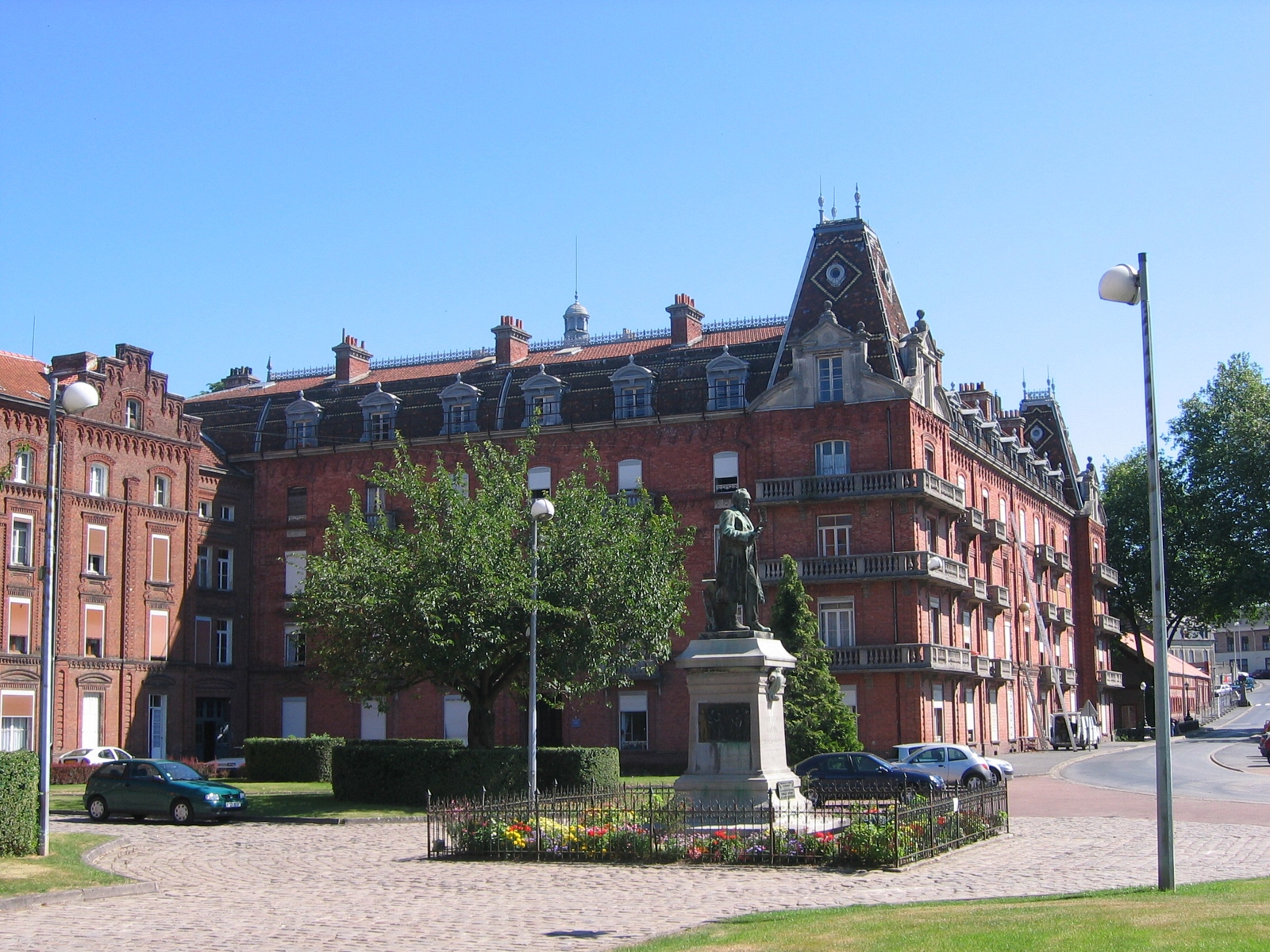
IMG_4567.JPG
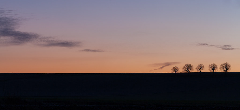
Sunrise @ Specy I
---
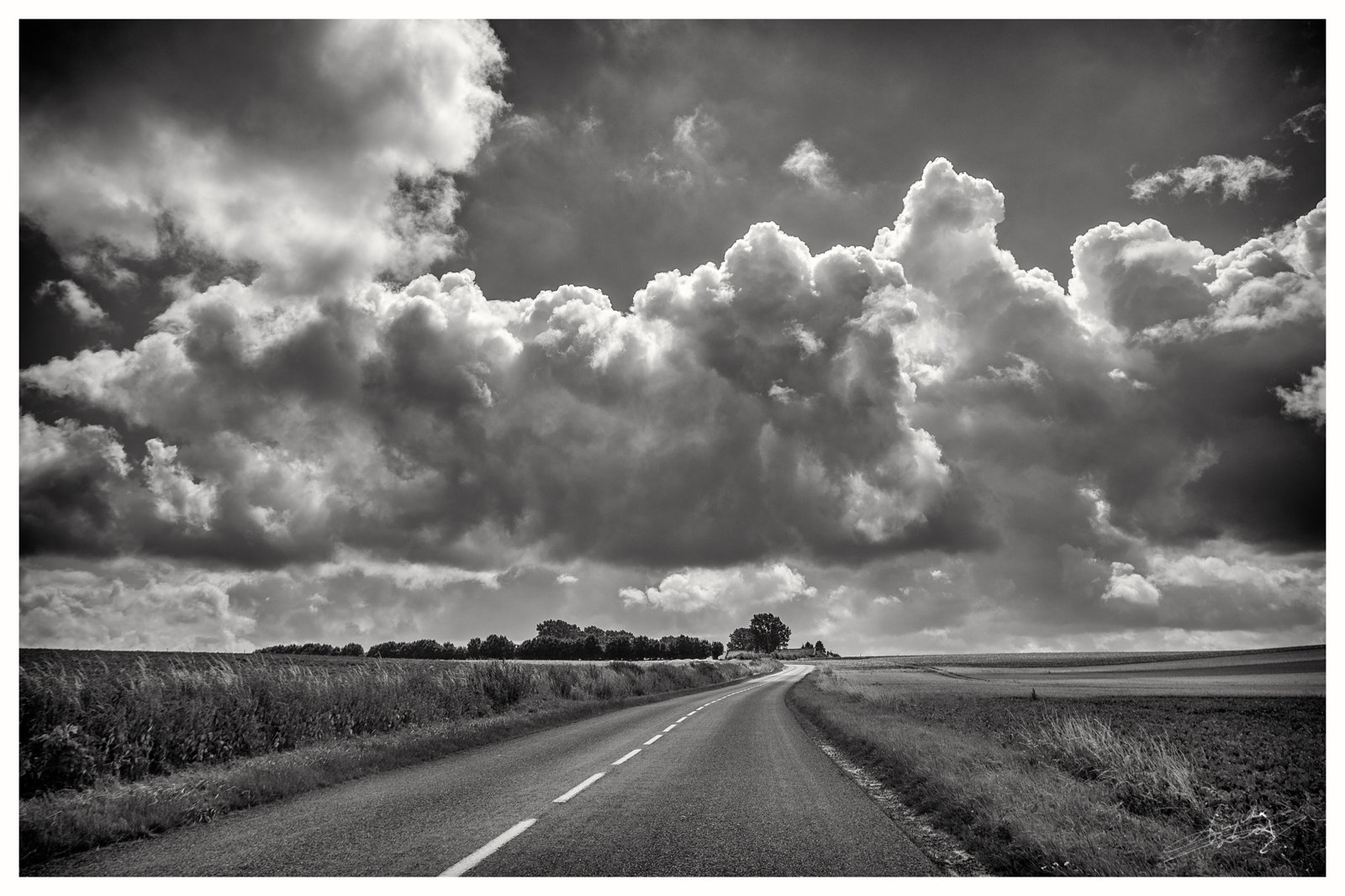
The open road
Landscape from the Axe Vert.

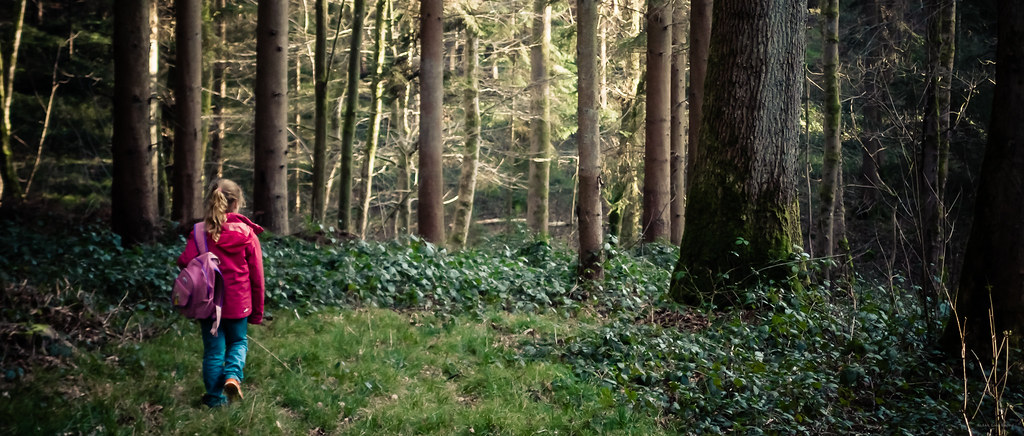
Dans les bois
Champagne Road Trip
Familistère
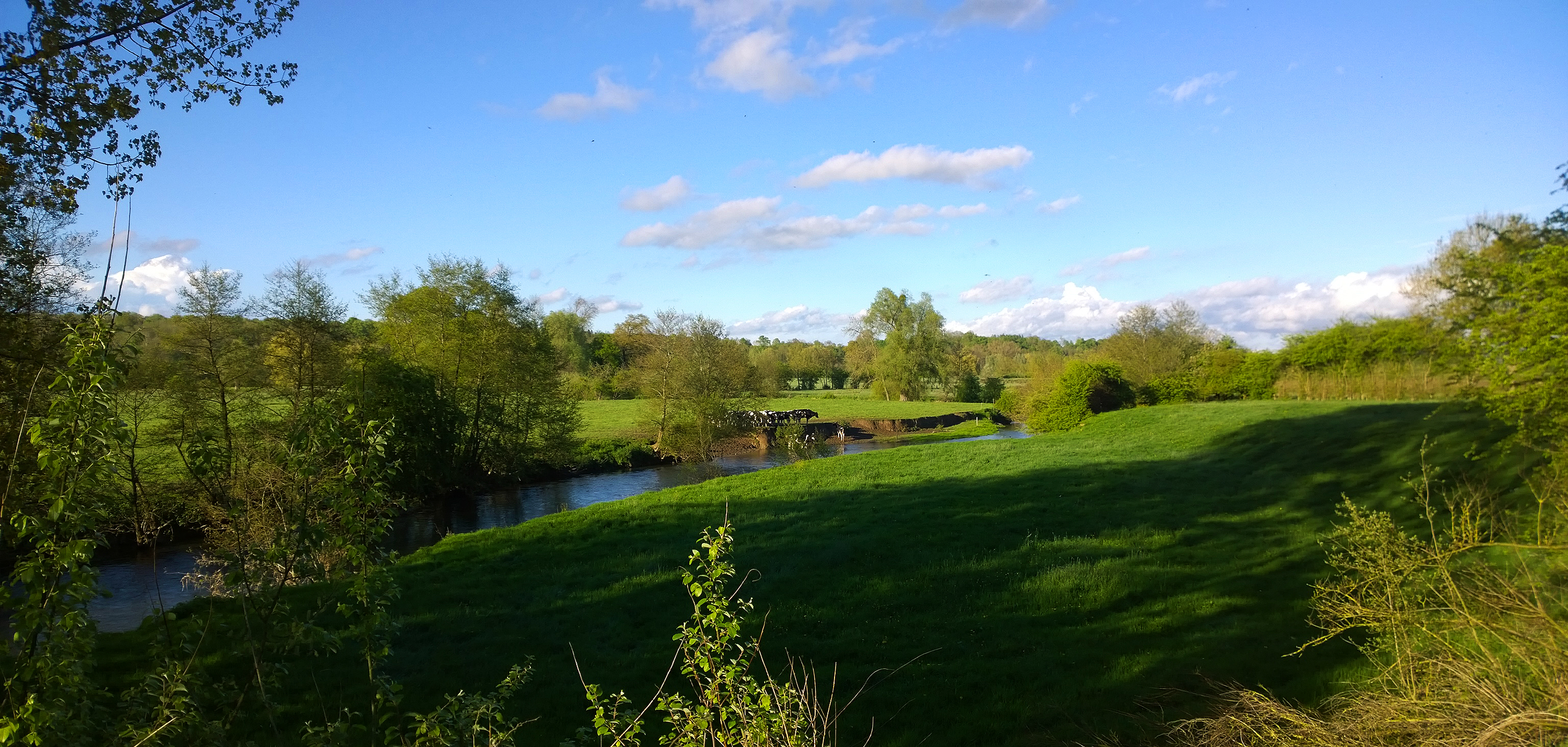
La vallée de l'Oise
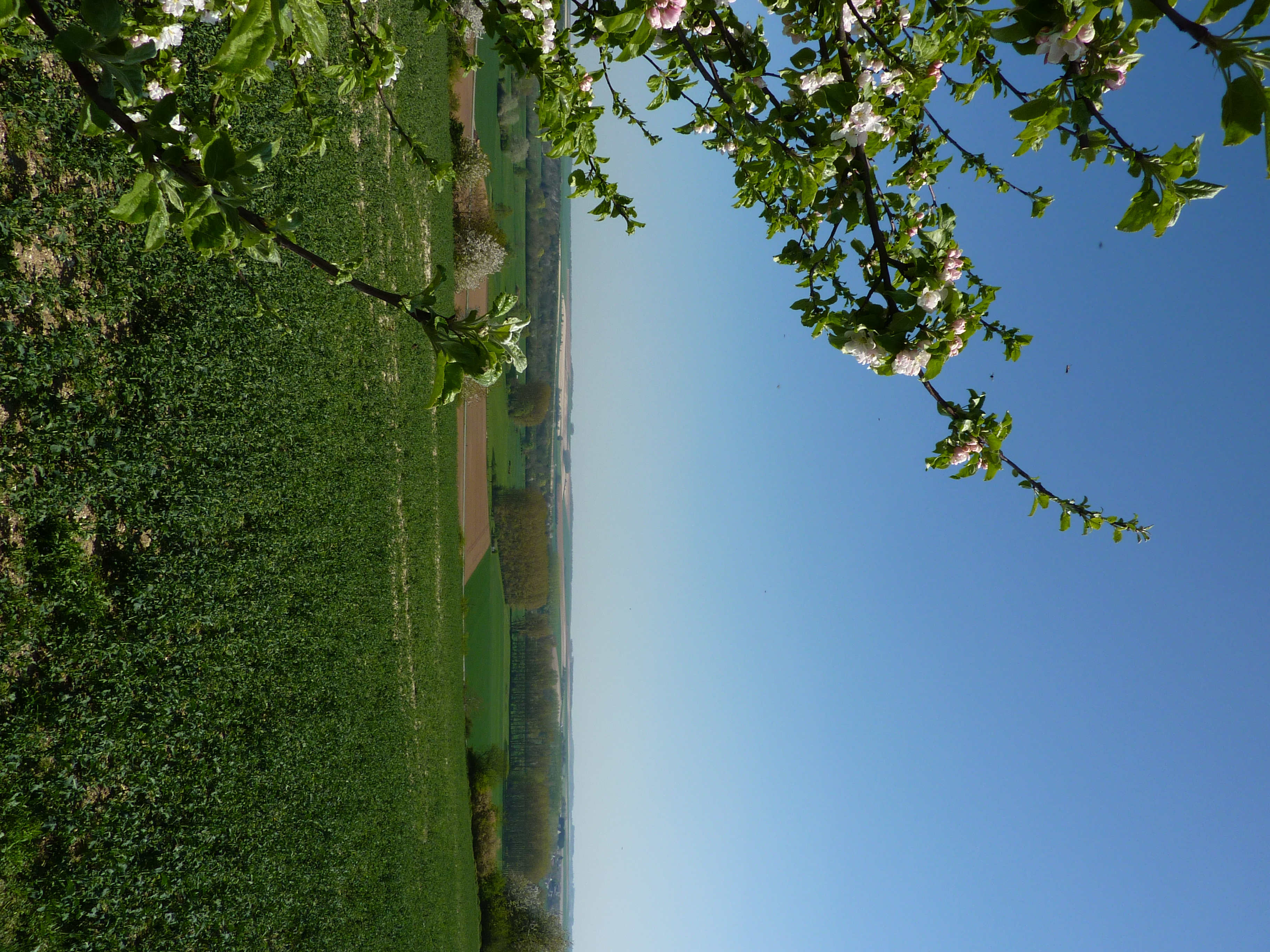
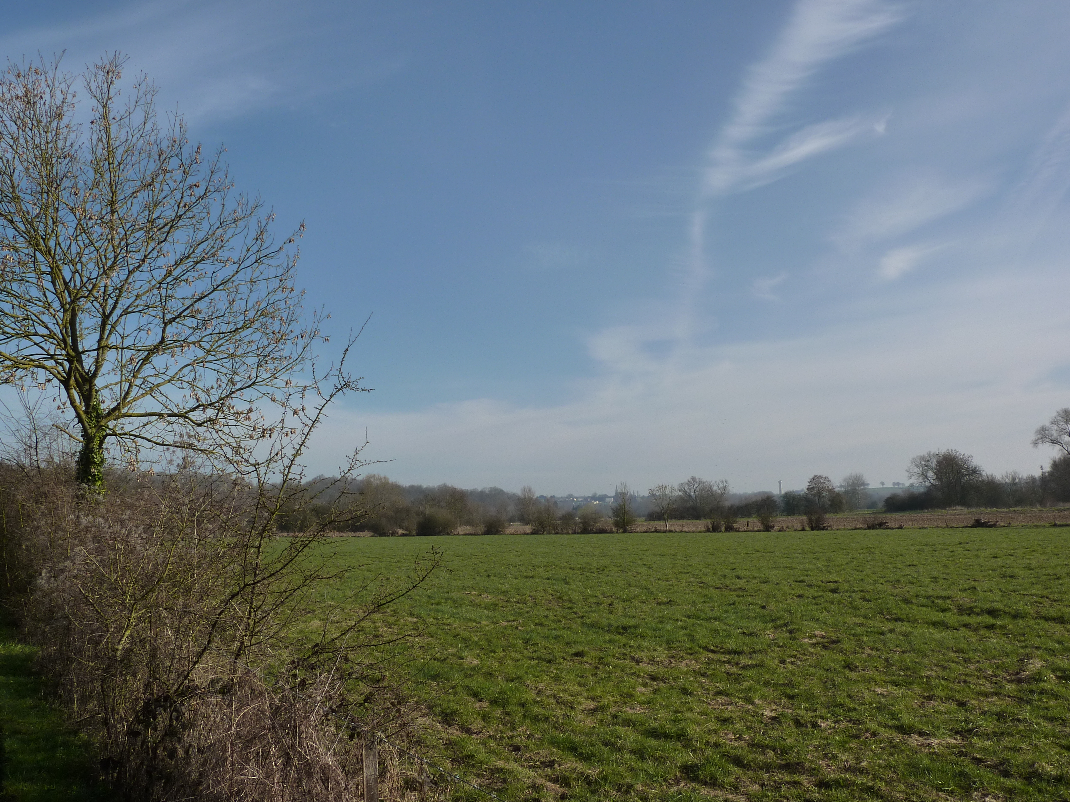
Spring field
Au bord de l'Oise
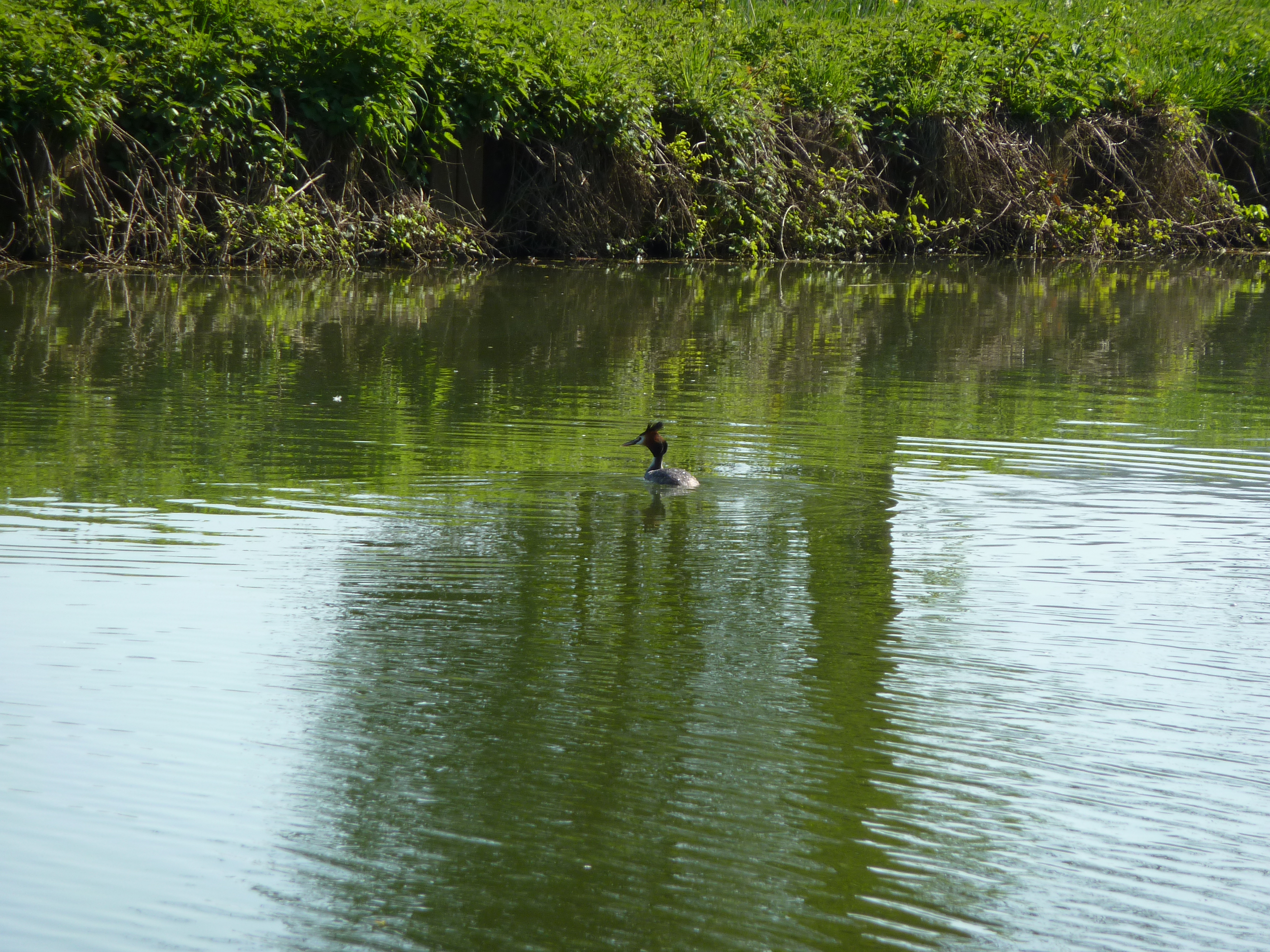
Grèbe huppé
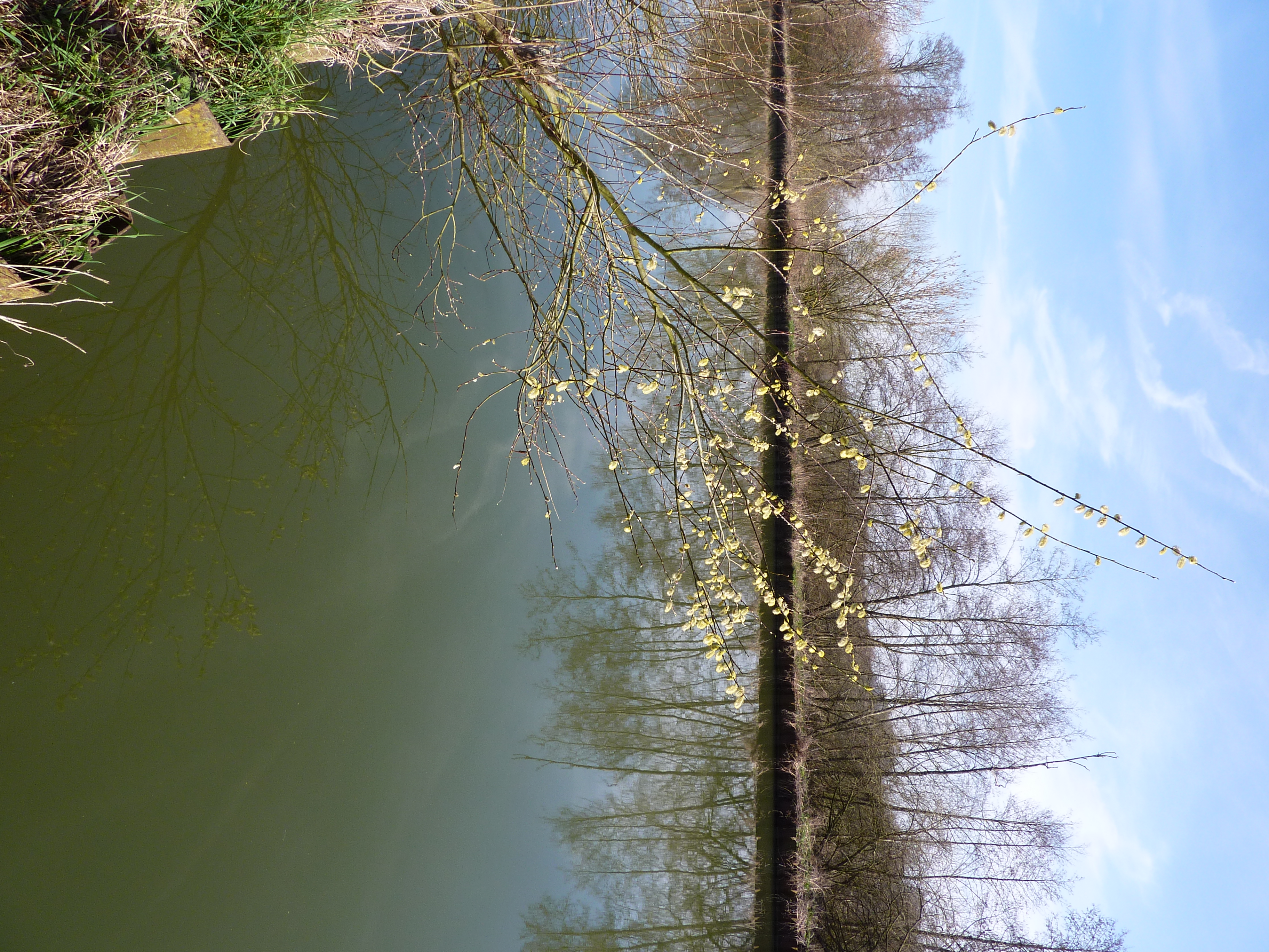
Saule au bord du canal
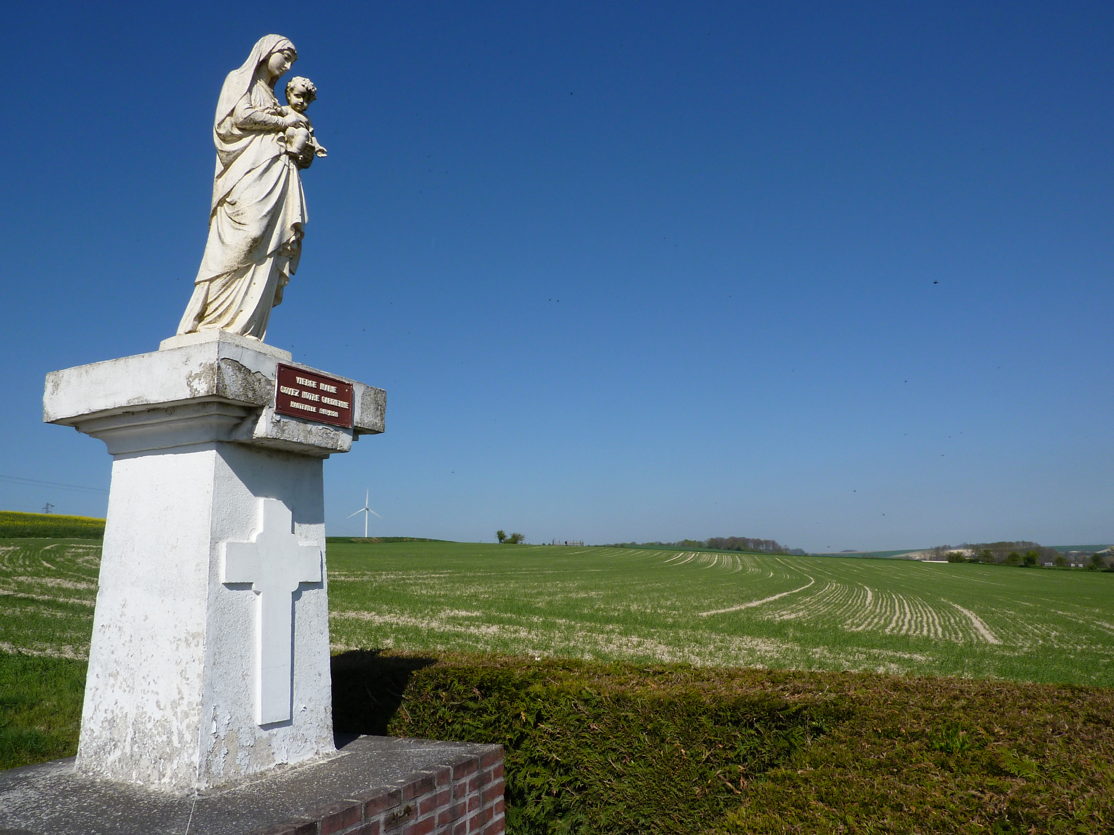
La Vierge à Hauteville
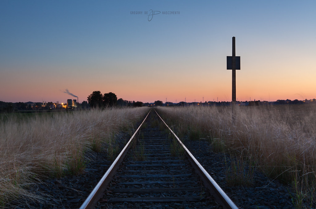
Sunrise @ Origny Sainte Benoite
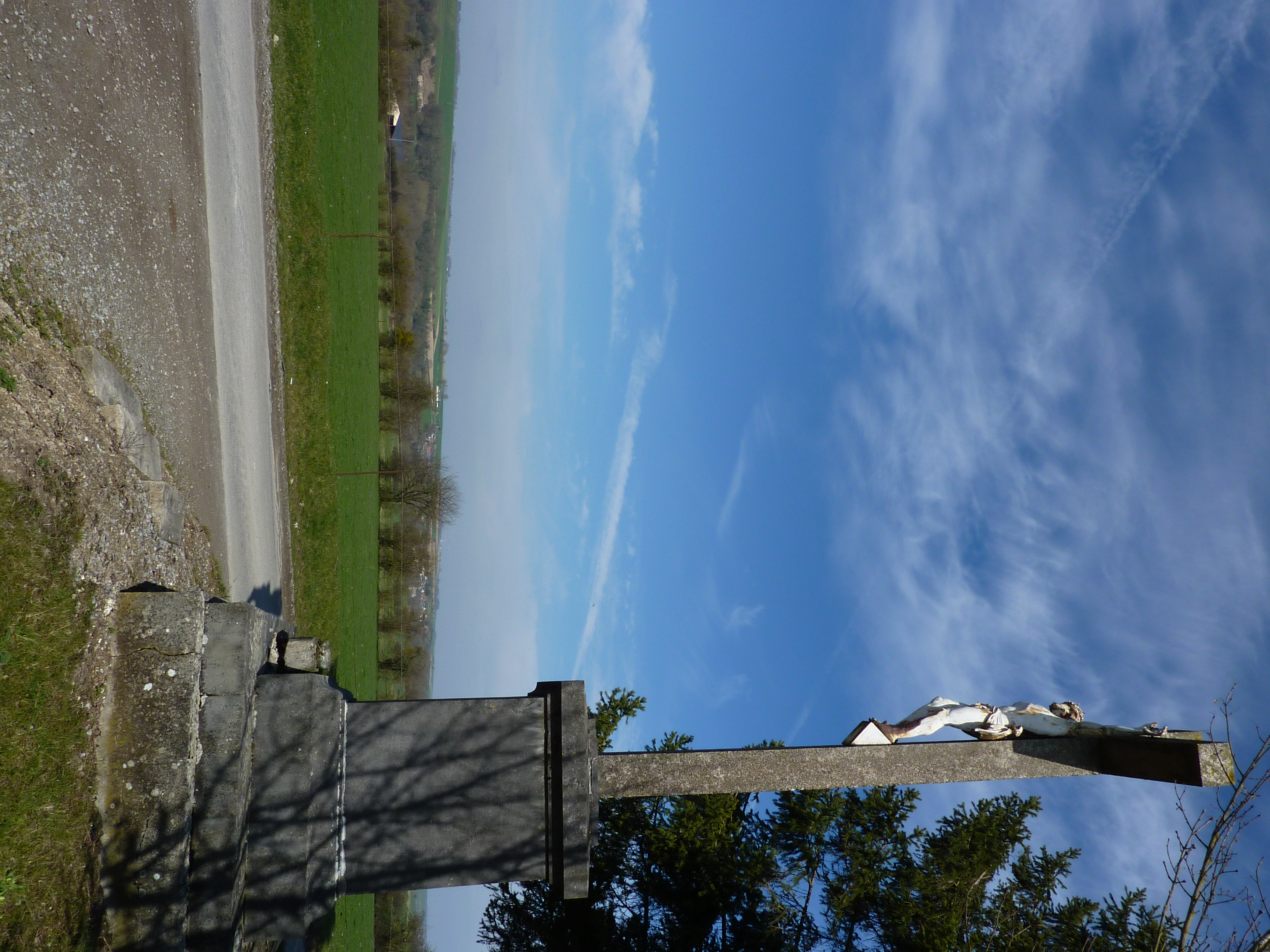
Un calvaire
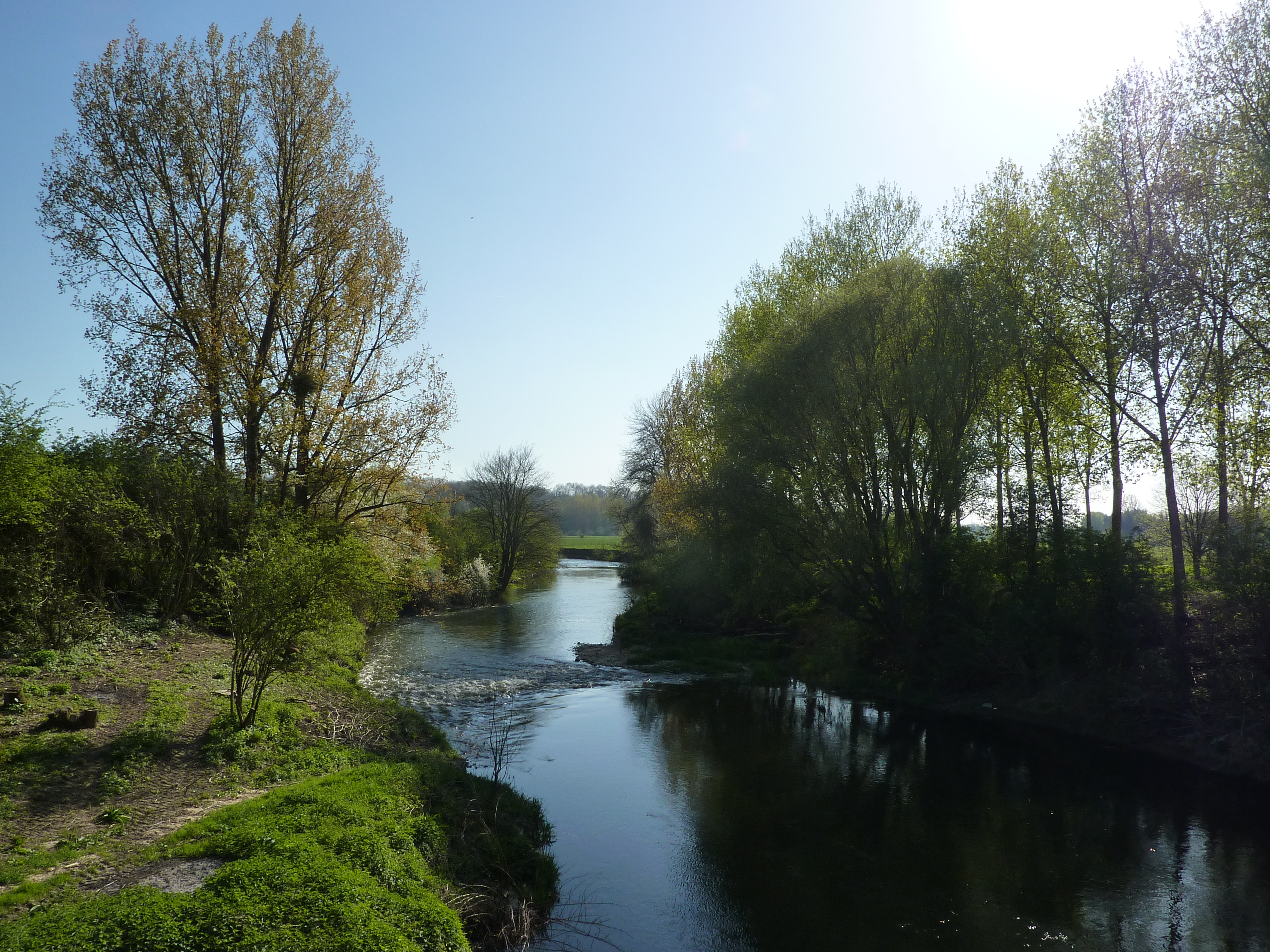
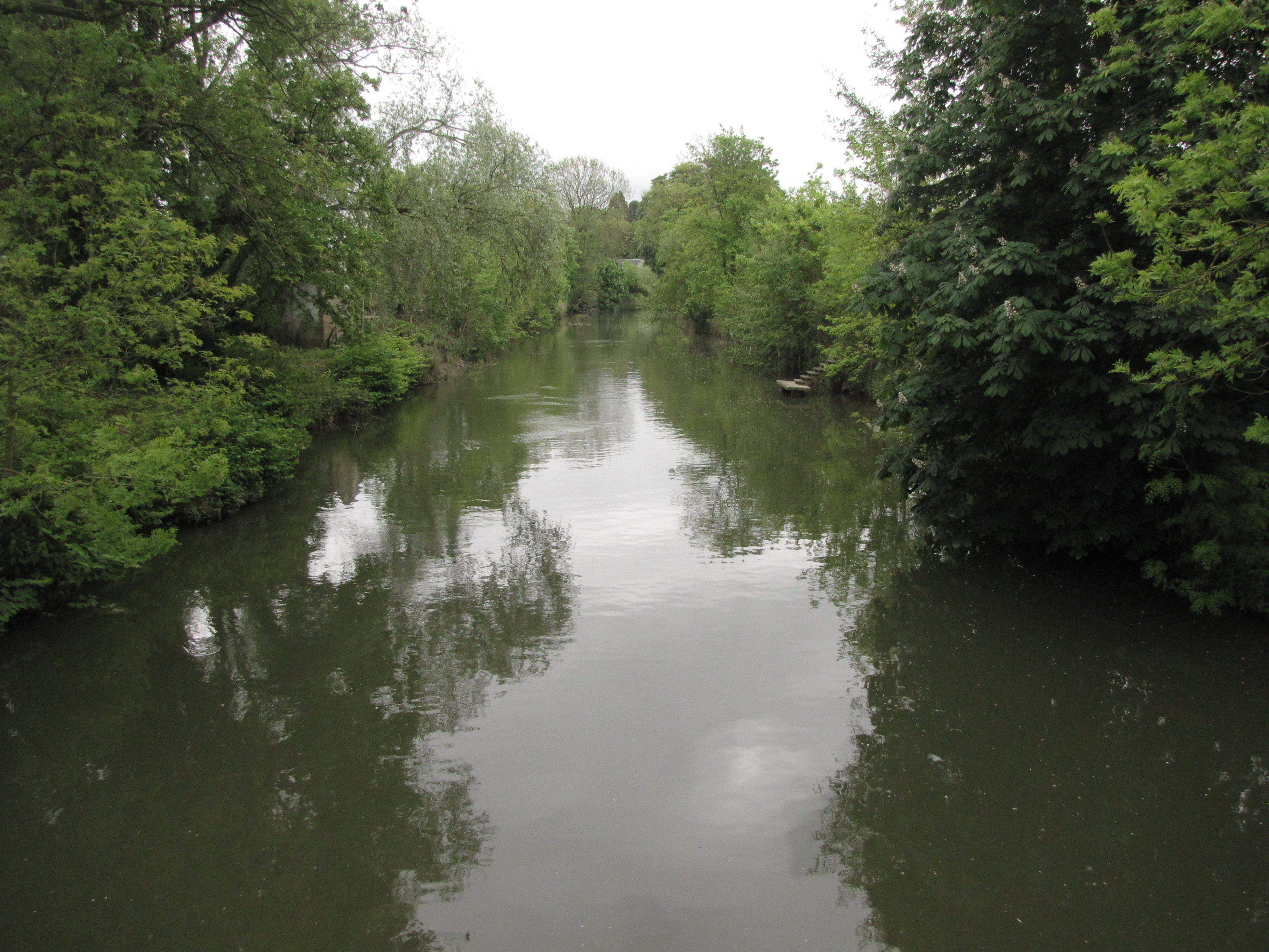
L'Oise
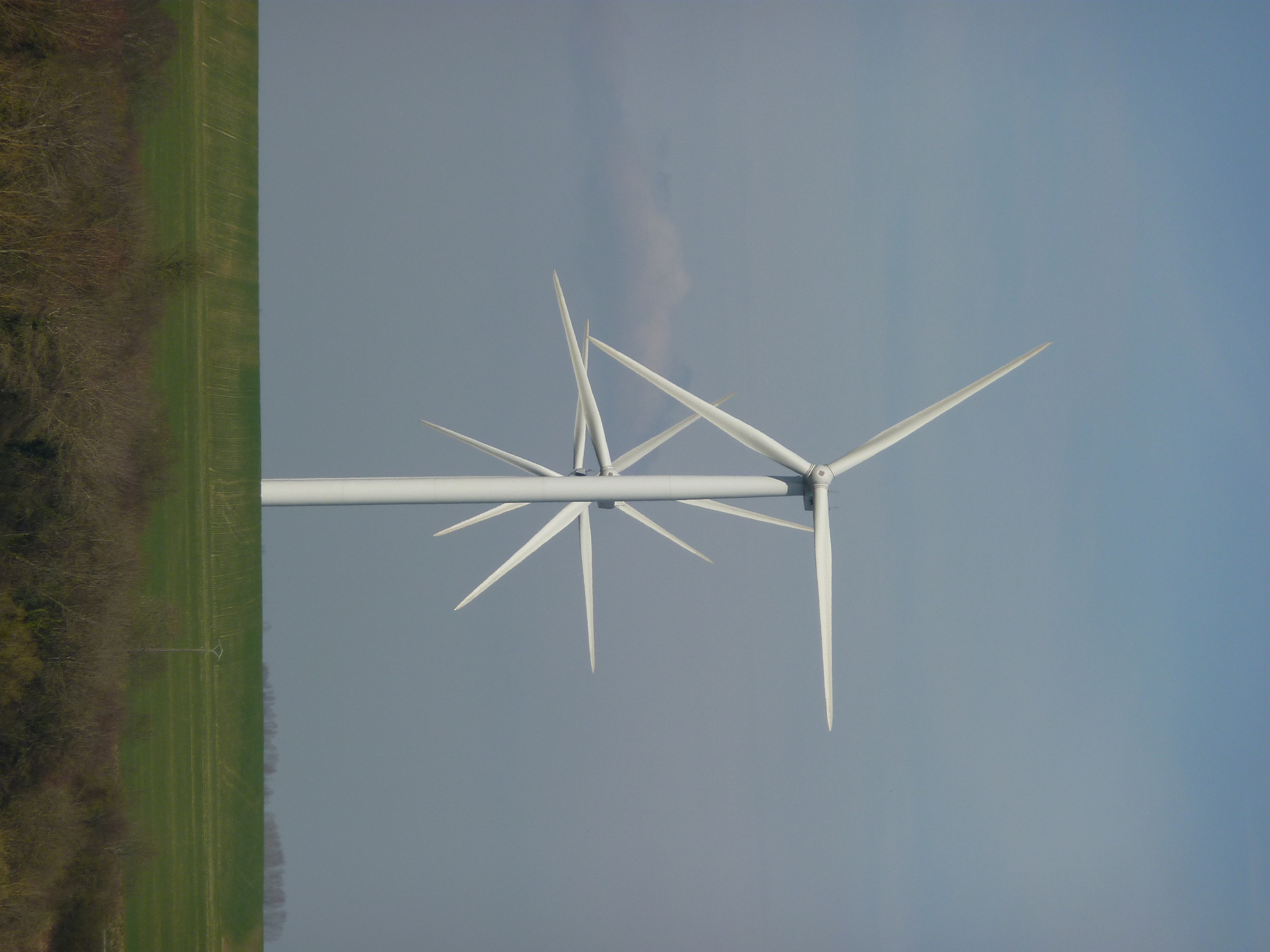
Combien d'éoliennes ?
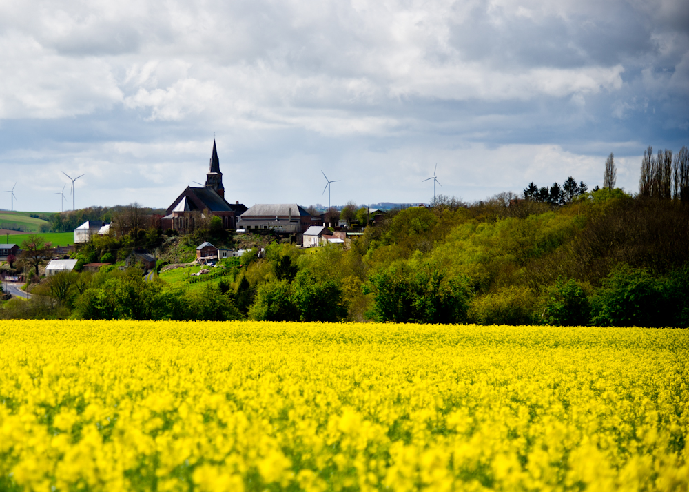
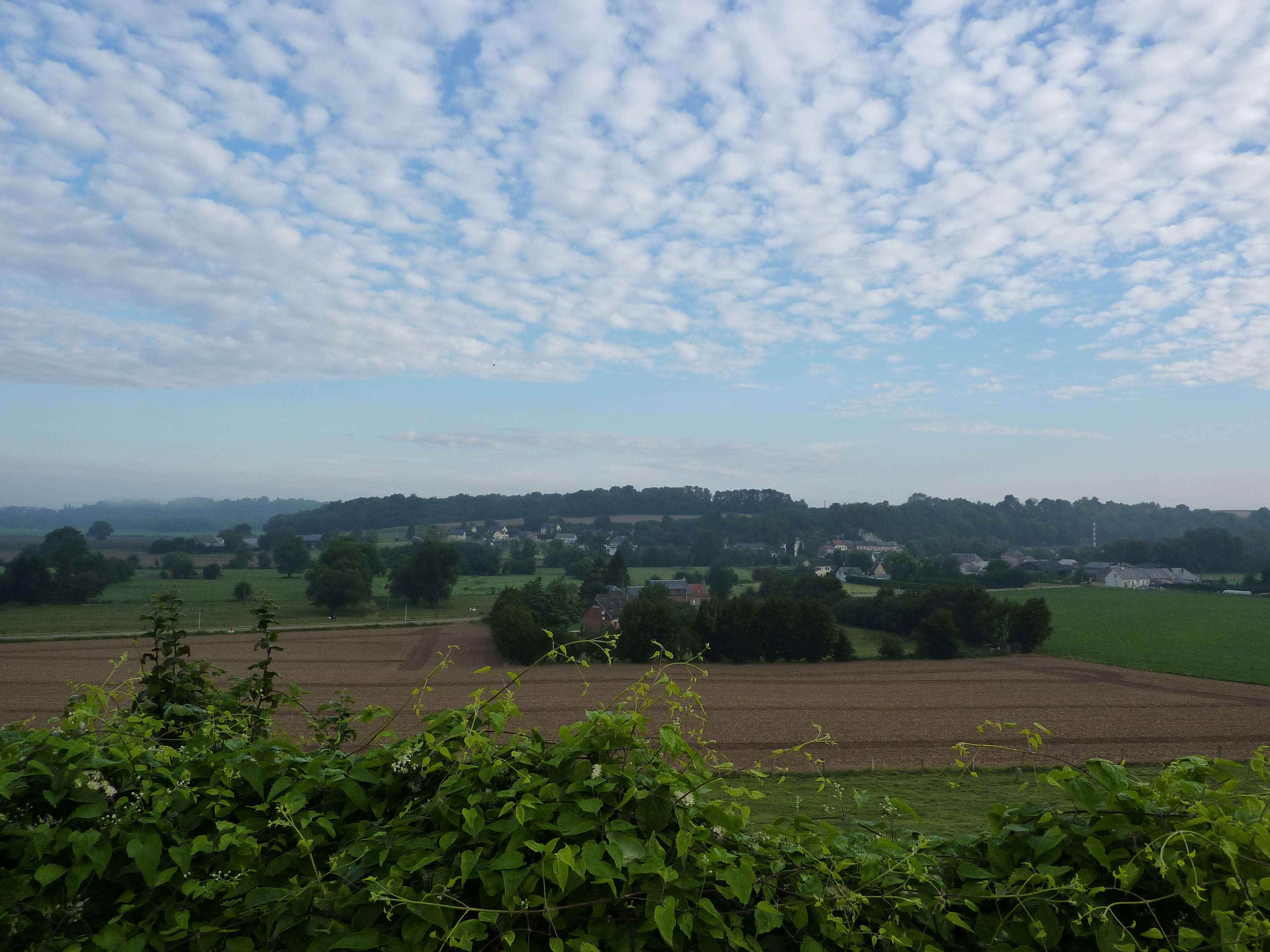
Paysage picard
Ici, les moutons sont dans le ciel
Familistère
Dans les prés
Topographic Map of 1 Rue des Sources, Flavigny-le-Grand-et-Beaurain, France
Find elevation by address:

Places near 1 Rue des Sources, Flavigny-le-Grand-et-Beaurain, France:
Flavigny-le-grand-et-beaurain
7 Rue Robert Leduc, Audigny, France
Audigny
4 Rue de Verdun, La Vallée-au-Blé, France
La Vallée-au-blé
Erloy
4 Place d'Erloy, Erloy, France
15 Rue Saint-Claude, Neuvillette, France
Neuvillette
Rogny
24 Gr Grande Rue, Rogny, France
1 Impasse de Crécy, Mortiers, France
Mortiers
Houry
1 Rue de la Brune, Houry, France
94 Rue Portelot, Becquigny, France
Becquigny
Landrecies
Fontenelle
9 Rue Jean Monnet, Fontenelle, France
Recent Searches:
- Elevation of Congressional Dr, Stevensville, MD, USA
- Elevation of Bellview Rd, McLean, VA, USA
- Elevation of Stage Island Rd, Chatham, MA, USA
- Elevation of Shibuya Scramble Crossing, 21 Udagawacho, Shibuya City, Tokyo -, Japan
- Elevation of Jadagoniai, Kaunas District Municipality, Lithuania
- Elevation of Pagonija rock, Kranto 7-oji g. 8"N, Kaunas, Lithuania
- Elevation of Co Rd 87, Jamestown, CO, USA
- Elevation of Tenjo, Cundinamarca, Colombia
- Elevation of Côte-des-Neiges, Montreal, QC H4A 3J6, Canada
- Elevation of Bobcat Dr, Helena, MT, USA