Elevation of Becquigny, France
Location: France > Nord-pas-de-calais-picardie > Aisne >
Longitude: 3.469535
Latitude: 50.015871
Elevation: 144m / 472feet
Barometric Pressure: 100KPa
Elevation Map:
Satellite Map:
Related Photos:

Menace ...

Une porte secrète ...
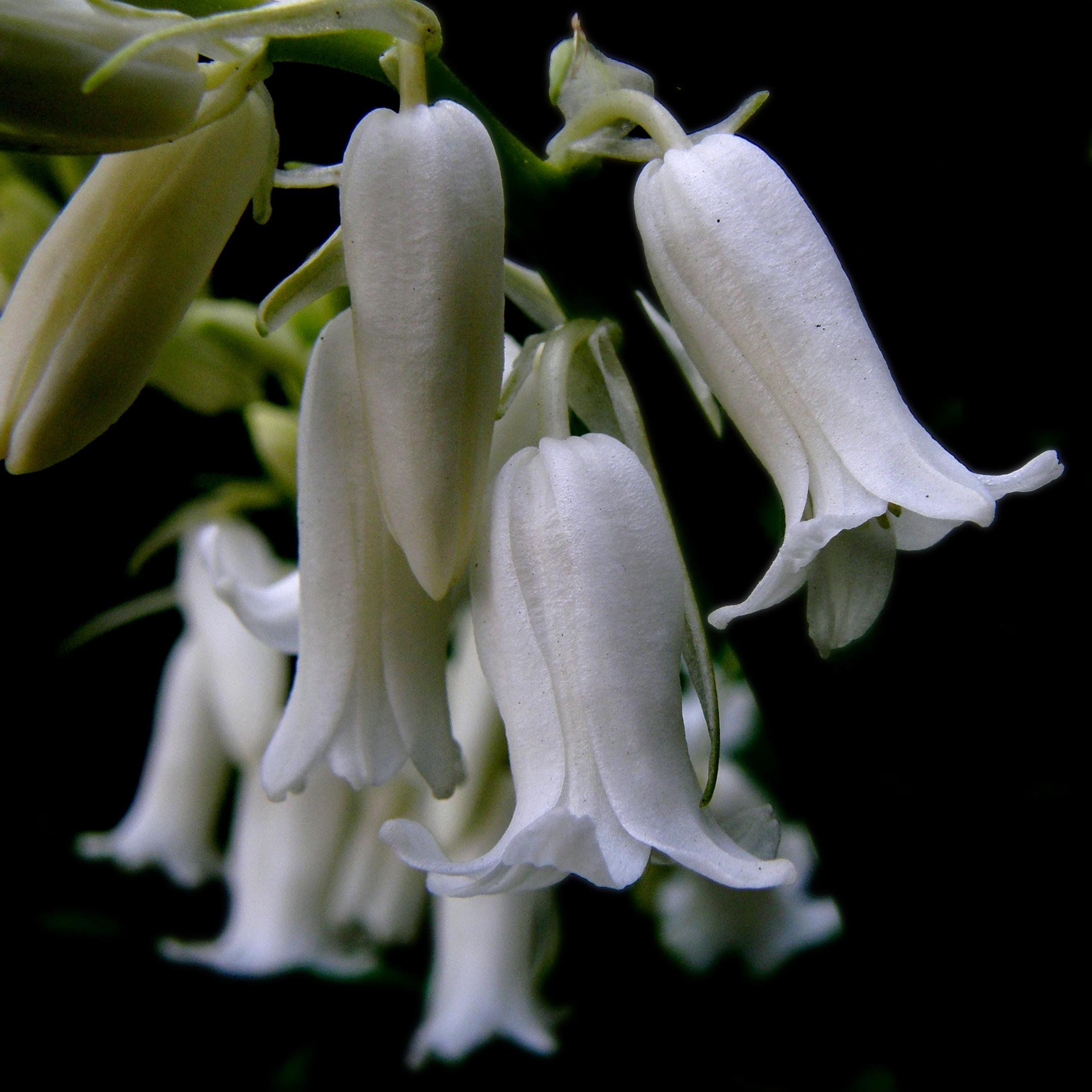
white bluebell

Le château d'Esnes

L'élévation ...

IMG_4591.JPG

the view from my classroom window

IMG_4587.JPG

IMG_4590.JPG

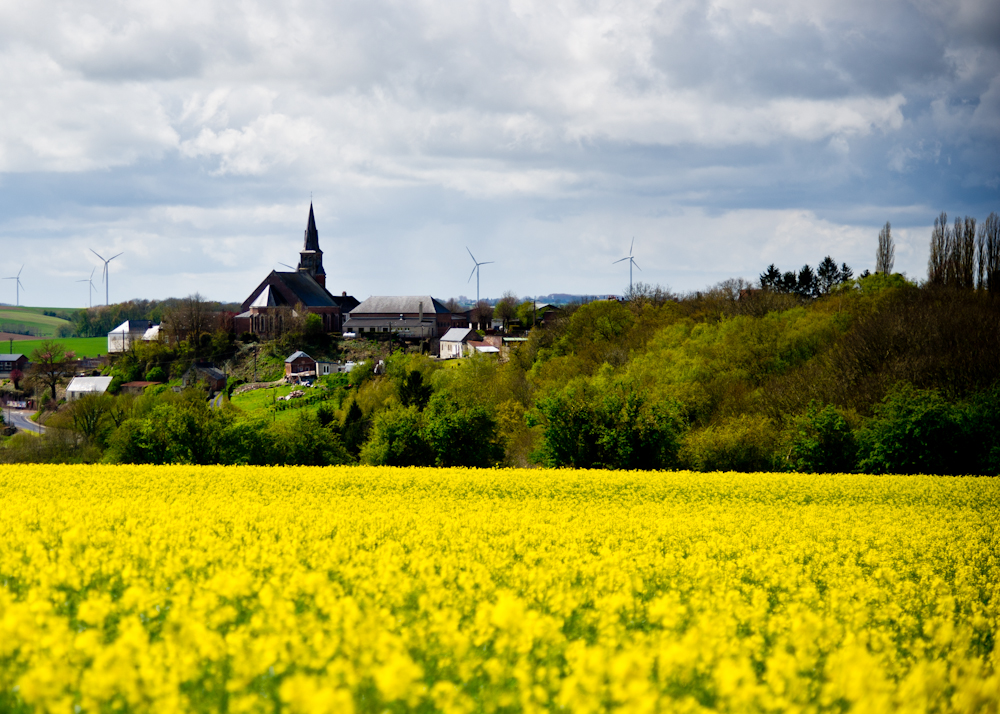
Fields of gold

Soleil Picard

Emprise - Epris

FRANÇA - Deheries
---
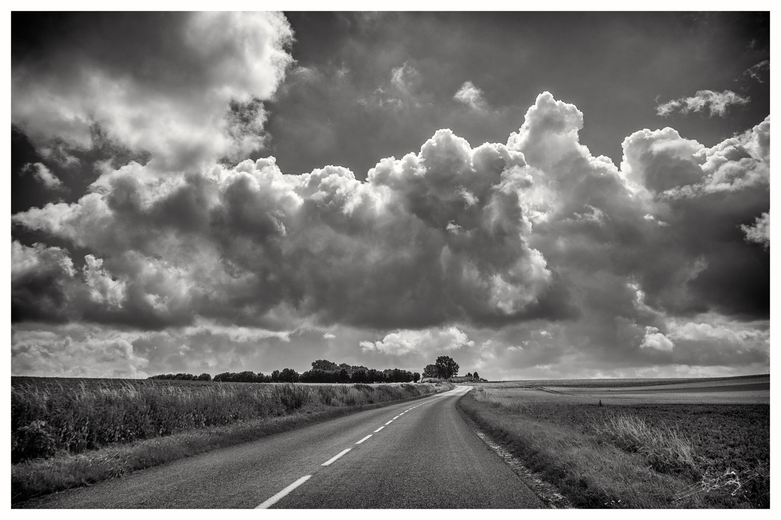
The open road

05/2011 - Saint-Benin (59) - BB 16054 - IC 12330 (Maubeuge - Paris)

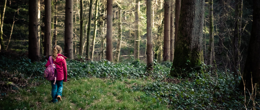
Dans les bois

Wilfred Owen was killed on the left towpath 1 kilometre from here

Parc Fénelon- Le Cateau Cambrésis
Champagne Road Trip

une belle journée d'automne, le long des vallées du Cambrésis

Expédition dans la campagne, pour changer

Premont British Cemetery

Guizancourt Farm Cemetery 1

Et puis encore un autre champ

Un grand champ

Canal de la Sambre à l'Oise

Un horizon tant espéré

Coupé en deux
Topographic Map of Becquigny, France
Find elevation by address:

Places in Becquigny, France:
Places near Becquigny, France:
94 Rue Portelot, Becquigny, France
Essigny-le-petit
Rue du 8 Mai, Essigny-le-Petit, France
15 Rue Saint-Claude, Neuvillette, France
Neuvillette
Levergies
30 Rue Neuve, Levergies, France
1 Rue de l'Église, Aubencheul-aux-Bois, France
Aubencheul-aux-bois
Sissy
12 Rue Roger Leroy, Sissy, France
15 Rue Roger Leroy
Montrécourt
14 Rue de la Mairie, Montrécourt, France
22 Rue de la Grange aux Bois, Mesnil-Saint-Laurent, France
Mesnil-saint-laurent
Harly
9 Place du Vallon, Harly, France
7 Rue Robert Leduc, Audigny, France
Audigny
Recent Searches:
- Elevation of Congressional Dr, Stevensville, MD, USA
- Elevation of Bellview Rd, McLean, VA, USA
- Elevation of Stage Island Rd, Chatham, MA, USA
- Elevation of Shibuya Scramble Crossing, 21 Udagawacho, Shibuya City, Tokyo -, Japan
- Elevation of Jadagoniai, Kaunas District Municipality, Lithuania
- Elevation of Pagonija rock, Kranto 7-oji g. 8"N, Kaunas, Lithuania
- Elevation of Co Rd 87, Jamestown, CO, USA
- Elevation of Tenjo, Cundinamarca, Colombia
- Elevation of Côte-des-Neiges, Montreal, QC H4A 3J6, Canada
- Elevation of Bobcat Dr, Helena, MT, USA