Elevation of 16- Orchid Land Dr, Keaau, HI, USA
Location: United States > Hawaii > Hawaii County > Keaau >
Longitude: -155.02486
Latitude: 19.5431339
Elevation: 233m / 764feet
Barometric Pressure: 99KPa
Elevation Map:
Satellite Map:
Related Photos:

Palm Frond at dawn, Hawaii

Sunup on a snowy Mauna Kea from Mountain View B&B, Hawaii
HW7428VF2_4929.JPG
HW6981VF2_4482.JPG
HW7001VF2_4502.JPG
HW6969VF2_4470.JPG
HW7008VF2_4509.JPG
HW7007VF2_4508.JPG

HW6979VF2_4480.JPG

The strip

Oblique view, Kurtistown Jōdo Mission

We can pickle that
HW7018VF2_4519.JPG
HW7017VF2_4518.JPG
HW7481VF2_4982.JPG
HW7490VF2_4991.JPG
HW7479VF2_4980.JPG
HW7464VF2_4965.JPG
HW6983VF2_4484.JPG
HW6973VF2_4474.JPG

HW6990VF2_4491.JPG

Kilauea Hawaii Volcano - Fissure 8

Leilani Eruption
Kilauea Hawaii Volcano - Fissure 8

⛅️

God Beams
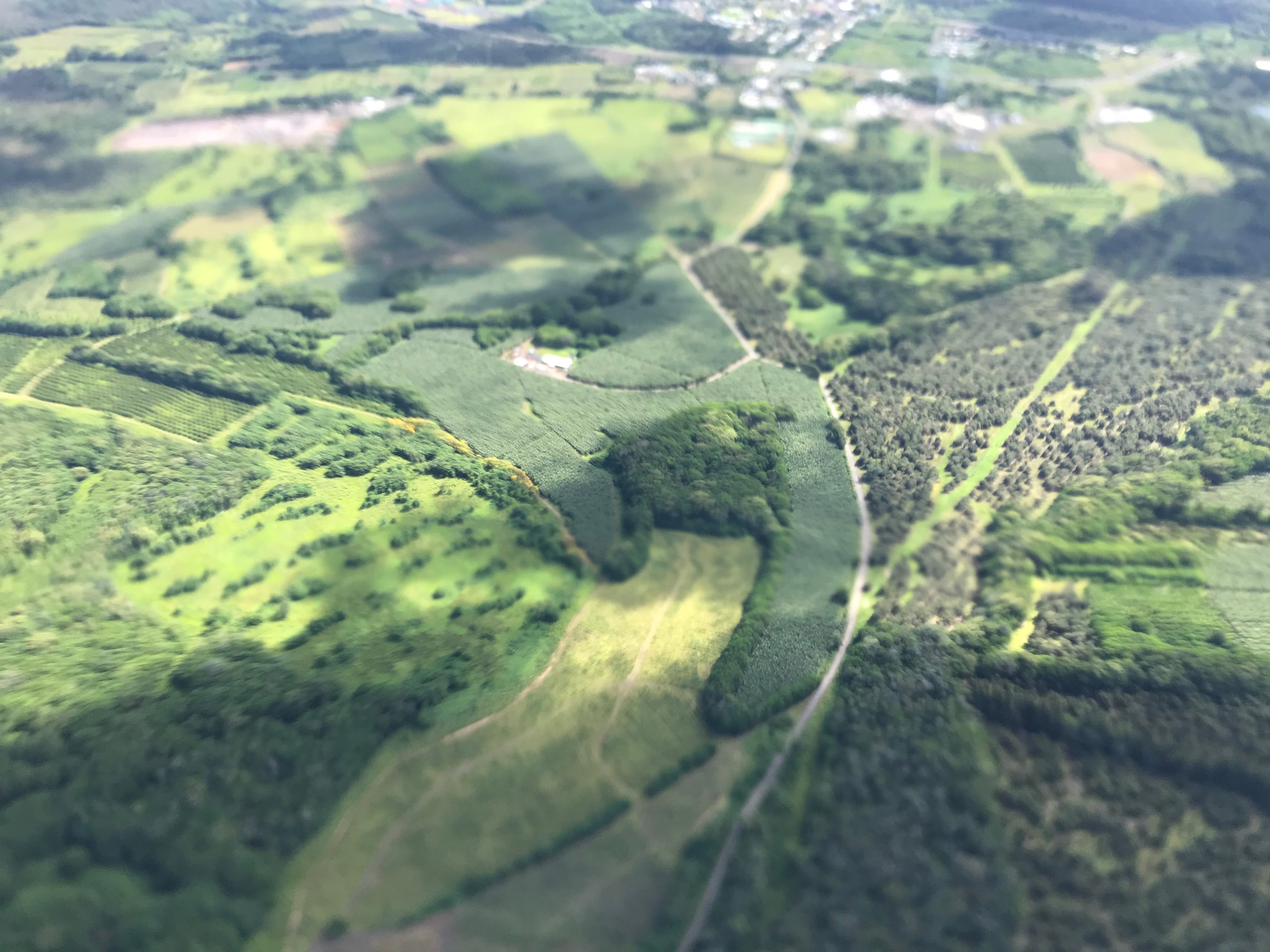
Near Kea'au
Oggi mare, domani bungee jumping
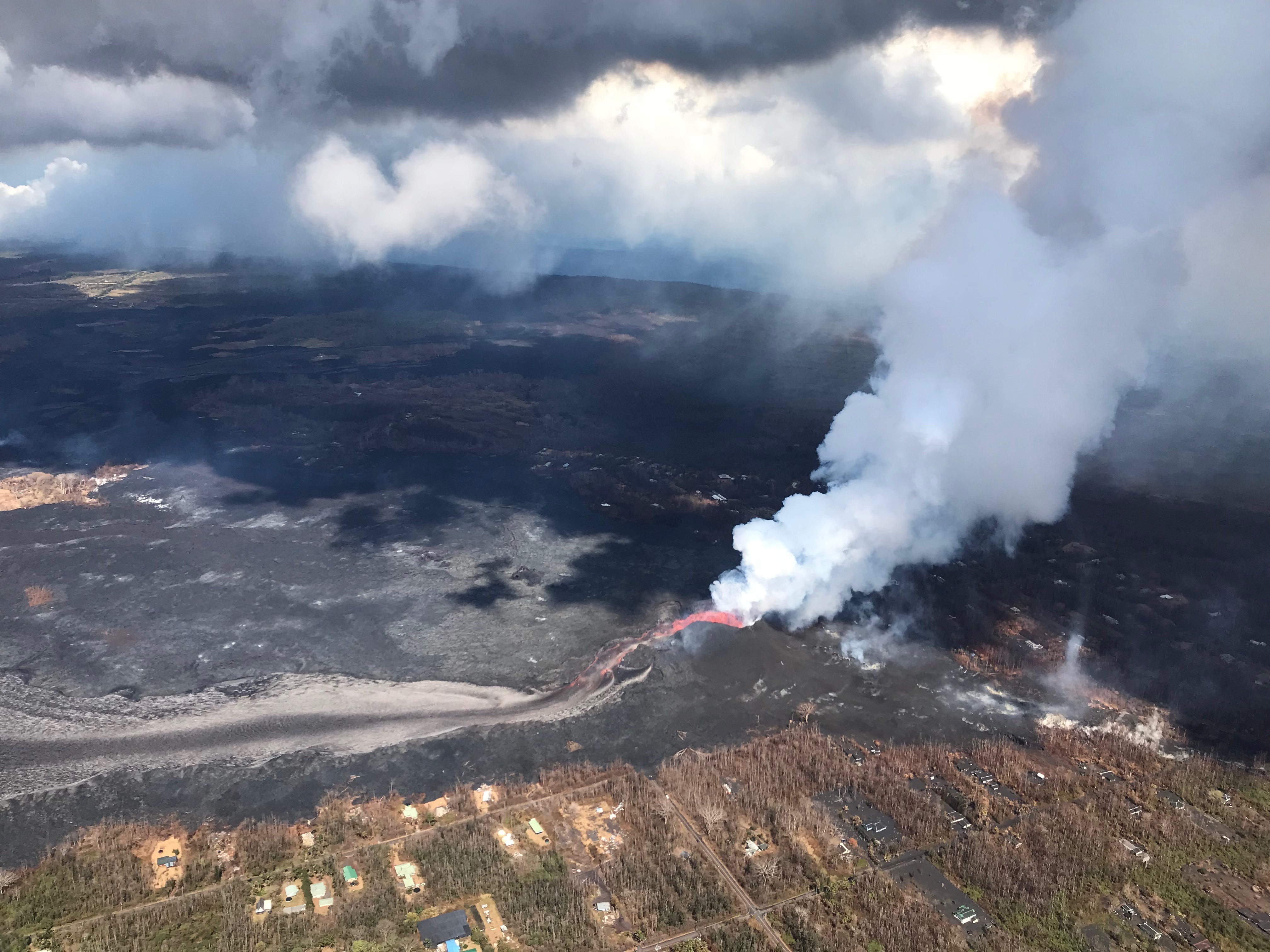
Fissure 8
Hawaii, HI

climactic clouds
Vibrations blurred photo
Topographic Map of 16- Orchid Land Dr, Keaau, HI, USA
Find elevation by address:

Places near 16- Orchid Land Dr, Keaau, HI, USA:
16-602 Orchid Land Dr
16-1620 40th Ave
40th Avenue
16-1621 40th Ave
16-652 Keala St
16-660 Keala St
Koloa Maoli Road 9
16-661 Keala St
87 Orchid Land Dr
16-333 Orchid Land Dr
Moho Road
37th Avenue
16-1945 Silversword Ct
16-1926 Opeapea Rd
16-1871 Ooaa Rd
16-1953 Aloha Ct
16-1919 Uilani Dr
Ooaa Road
16-272 Aulii St
16-2093 Stardust Dr
Recent Searches:
- Elevation of Lampiasi St, Sarasota, FL, USA
- Elevation of Elwyn Dr, Roanoke Rapids, NC, USA
- Elevation of Congressional Dr, Stevensville, MD, USA
- Elevation of Bellview Rd, McLean, VA, USA
- Elevation of Stage Island Rd, Chatham, MA, USA
- Elevation of Shibuya Scramble Crossing, 21 Udagawacho, Shibuya City, Tokyo -, Japan
- Elevation of Jadagoniai, Kaunas District Municipality, Lithuania
- Elevation of Pagonija rock, Kranto 7-oji g. 8"N, Kaunas, Lithuania
- Elevation of Co Rd 87, Jamestown, CO, USA
- Elevation of Tenjo, Cundinamarca, Colombia