Elevation of 16- 40th Ave, Keaau, HI, USA
Location: United States > Hawaii > Hawaii County > Orchidlands Estates >
Longitude: -155.02275
Latitude: 19.5478409
Elevation: 214m / 702feet
Barometric Pressure: 99KPa
Elevation Map:
Satellite Map:
Related Photos:
HW7428VF2_4929.JPG

Palm Frond at dawn, Hawaii
HW6981VF2_4482.JPG

Sunup on a snowy Mauna Kea from Mountain View B&B, Hawaii
HW7001VF2_4502.JPG

16-2108 IO KEA RD MOUNTAIN VIEW, HI 96771
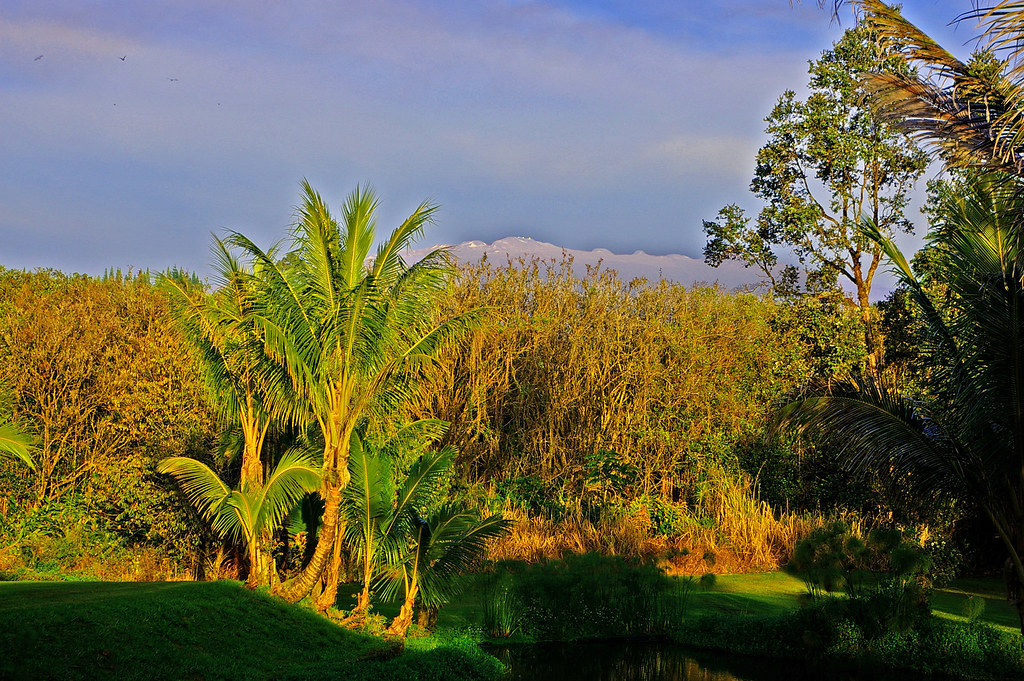
Mauna Kea in early morning light from Mountain View, Hawaii

HW6979VF2_4480.JPG
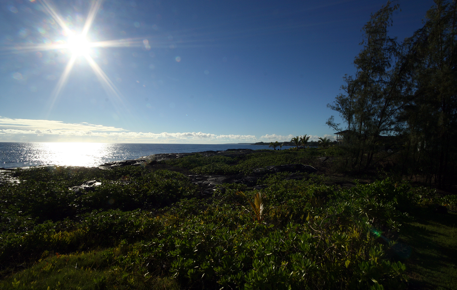
HW7008VF2_4509.JPG
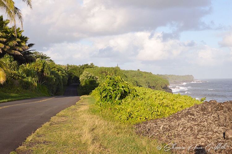
Cruising along Red Road on #thebigisland of #Hawaii nothing better than a cruise with this view #naturalbeauty
HW7022VF2_4523.JPG
HW7026VF2_4527.JPG

We can pickle that
HW7021VF2_4522.JPG
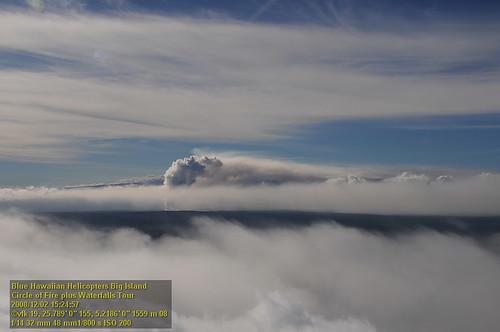
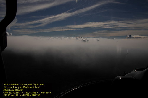
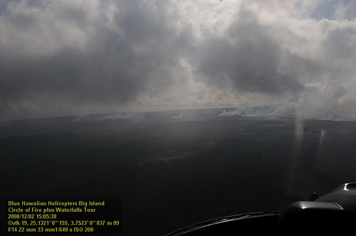
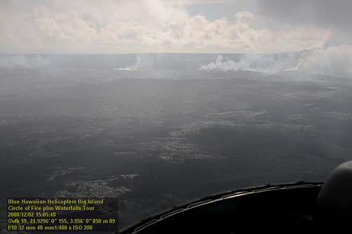
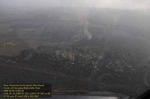
HW7481VF2_4982.JPG
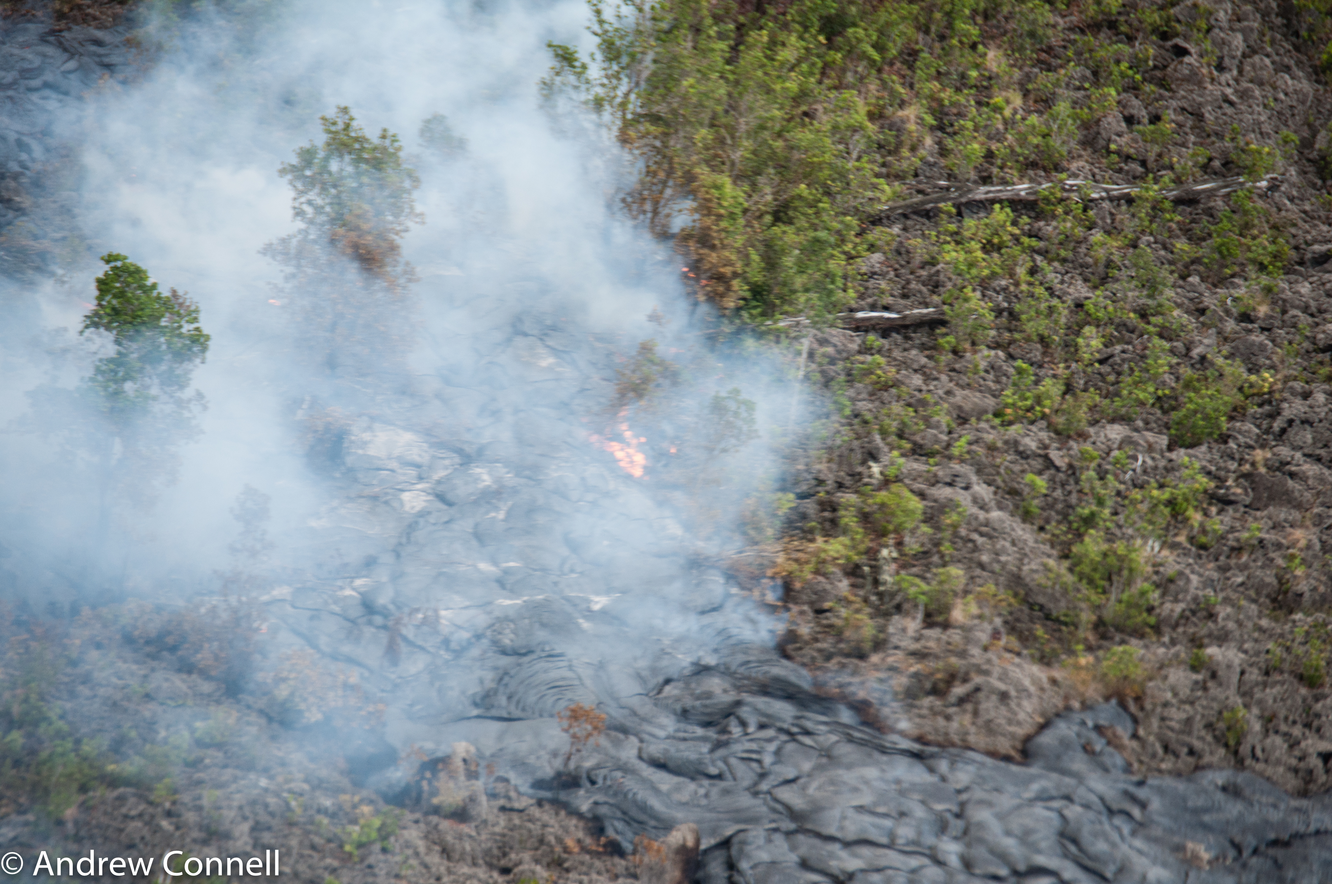
The current active lava flow as it moves into a forest. It's moved 2 miles in the last 8 months.
sunrise-day1
HW7018VF2_4519.JPG
HW7017VF2_4518.JPG
HW7020VF2_4521.JPG
1T0A1588.jpg

⛅️
Topographic Map of 16- 40th Ave, Keaau, HI, USA
Find elevation by address:

Places near 16- 40th Ave, Keaau, HI, USA:
16-1621 40th Ave
16-602 Orchid Land Dr
40th Avenue
16-612 Orchid Land Dr
87 Orchid Land Dr
16-652 Keala St
16-660 Keala St
Koloa Maoli Road 9
16-661 Keala St
16-333 Orchid Land Dr
37th Avenue
16-1945 Silversword Ct
16-272 Aulii St
Moho Road
16-1953 Aloha Ct
16-1919 Uilani Dr
16-1926 Opeapea Rd
16-1871 Ooaa Rd
Ooaa Road
16-2051 Sandalwood Dr
Recent Searches:
- Elevation of Alisal Rd, Solvang, CA, USA
- Elevation of Vista Blvd, Sparks, NV, USA
- Elevation of 15th Ave SE, St. Petersburg, FL, USA
- Elevation of Beall Road, Beall Rd, Florida, USA
- Elevation of Leguwa, Nepal
- Elevation of County Rd, Enterprise, AL, USA
- Elevation of Kolchuginsky District, Vladimir Oblast, Russia
- Elevation of Shustino, Vladimir Oblast, Russia
- Elevation of Lampiasi St, Sarasota, FL, USA
- Elevation of Elwyn Dr, Roanoke Rapids, NC, USA