Elevation of 15 Sunrise Ln, Cascade, MT, USA
Location: United States > Montana > Cascade County > Cascade >
Longitude: -111.70135
Latitude: 47.2806152
Elevation: 1037m / 3402feet
Barometric Pressure: 89KPa
Elevation Map:
Satellite Map:
Related Photos:
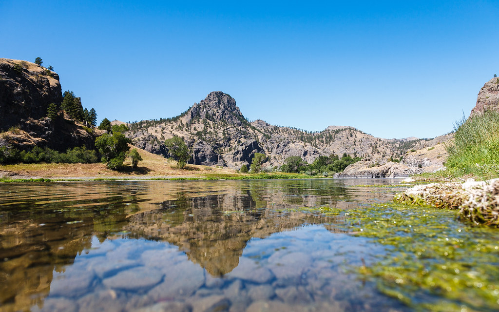
IMG_2276 (2)
IMG_2303 (2)
IMG_2254 (2)
Ulidia, Montana
Montana 2012-104

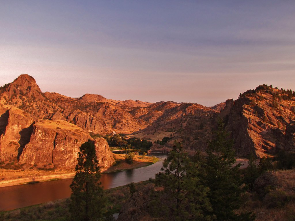
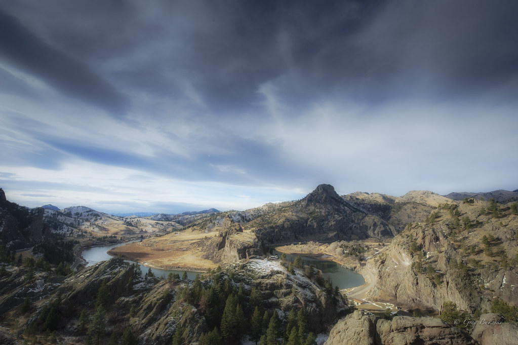
Missouri River Overlook
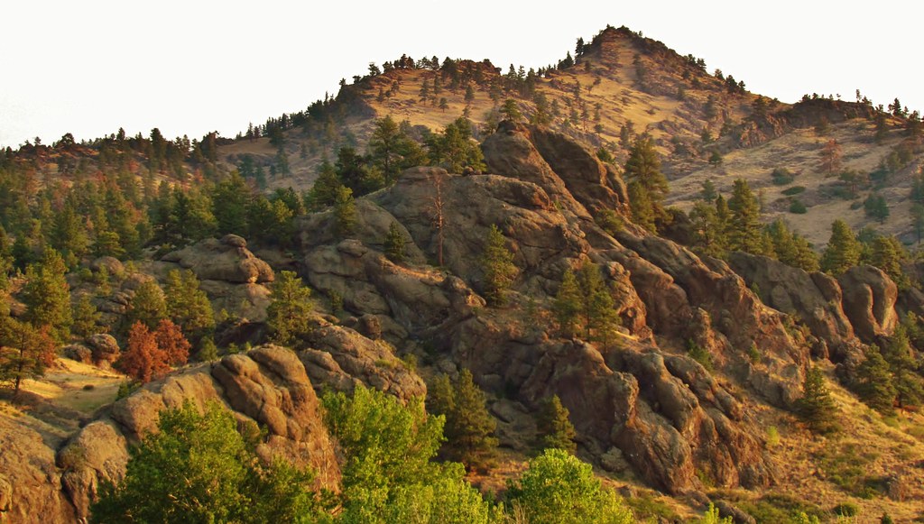
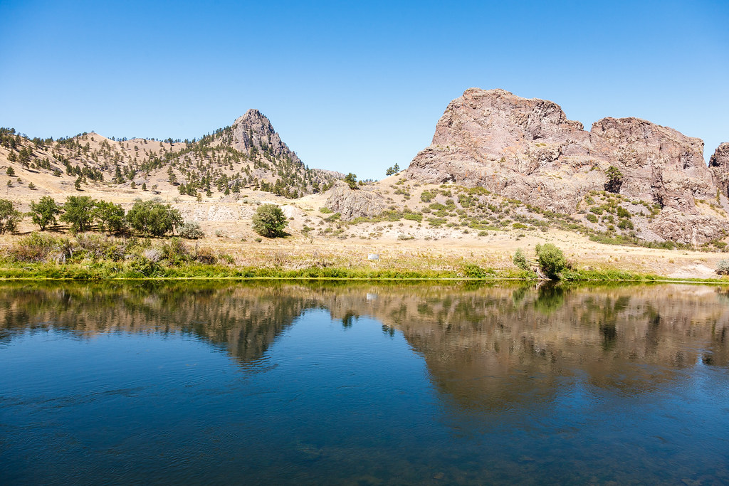
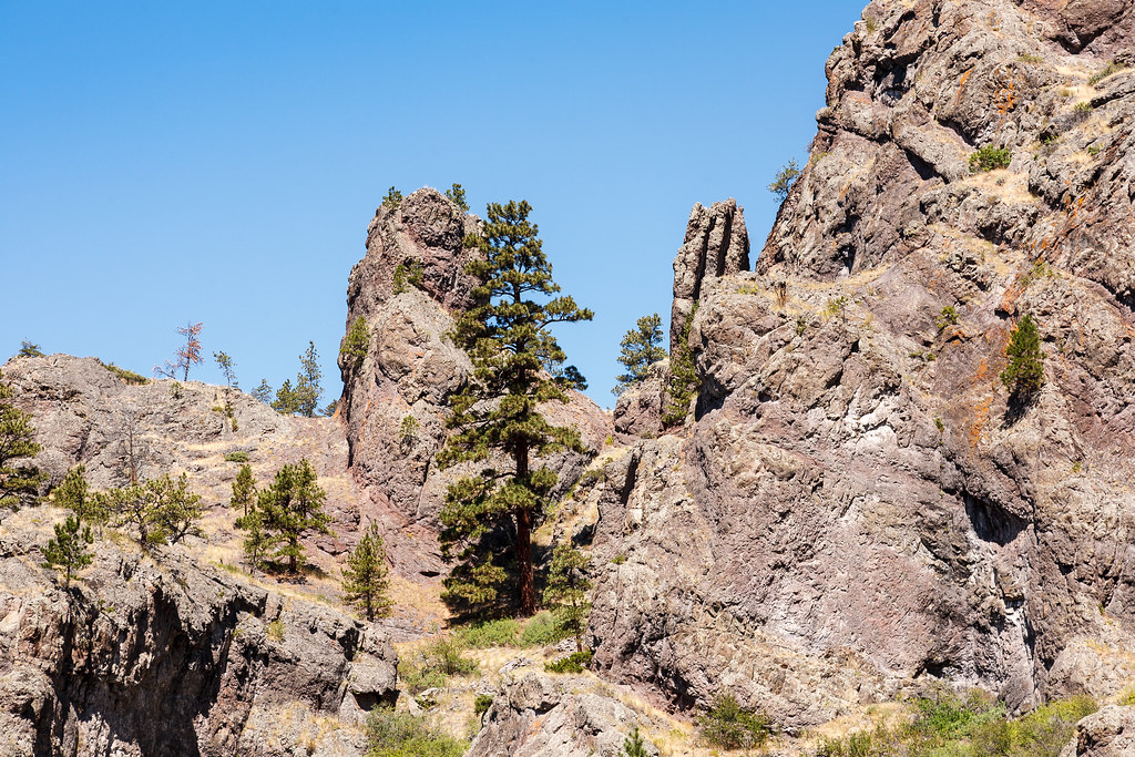
Pretty mountains
Montana 2012-111
Montana 2012-110
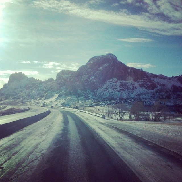
Helena Turn
Montana 2012-109
Montana 2012-103
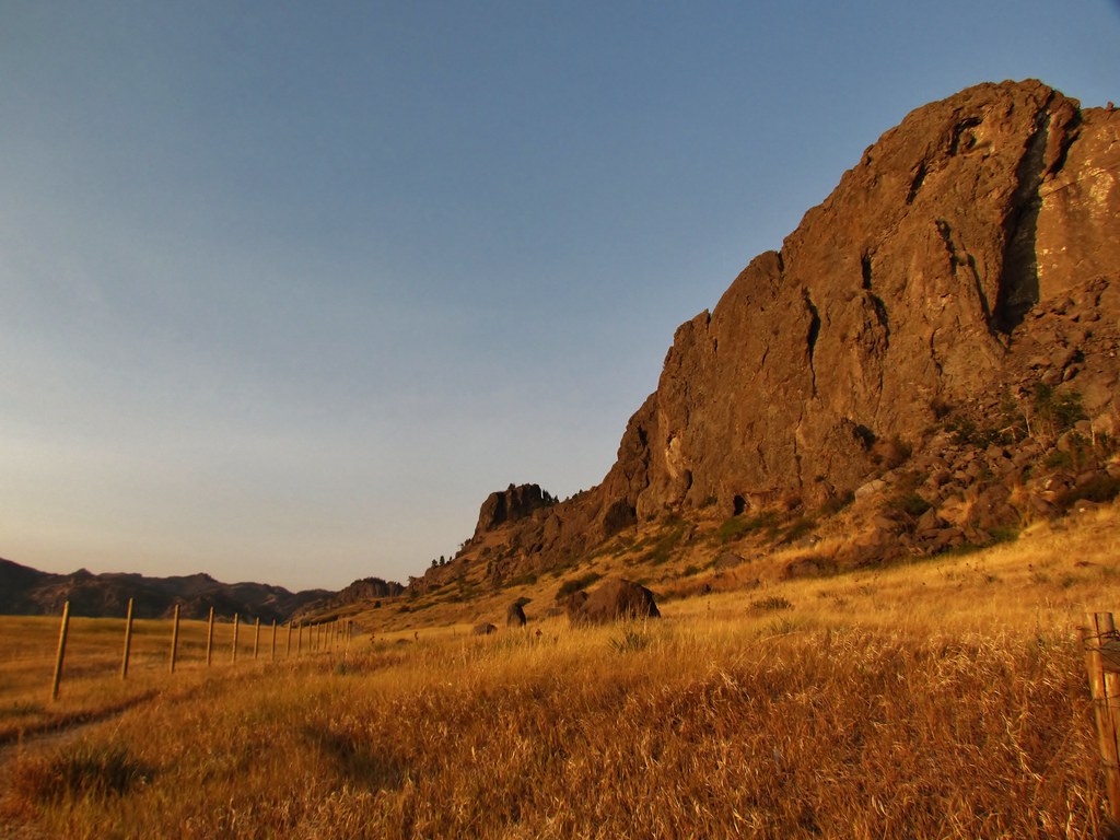
Northern Montana mountains
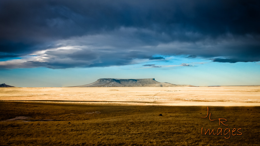
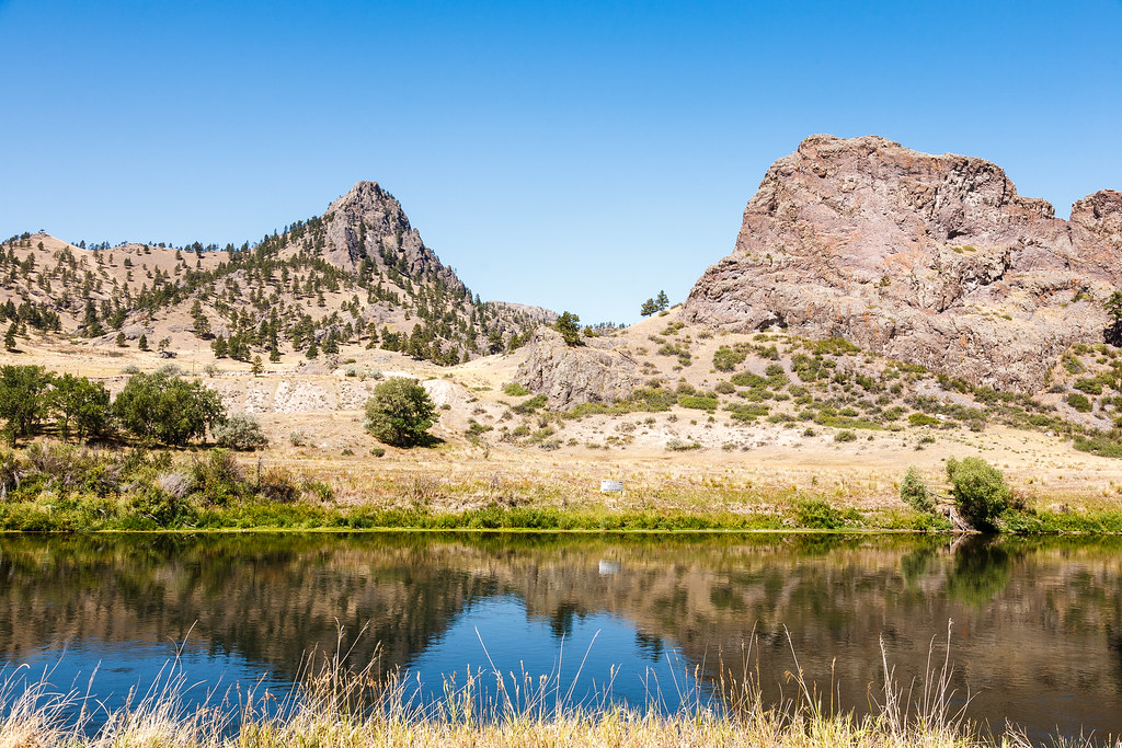
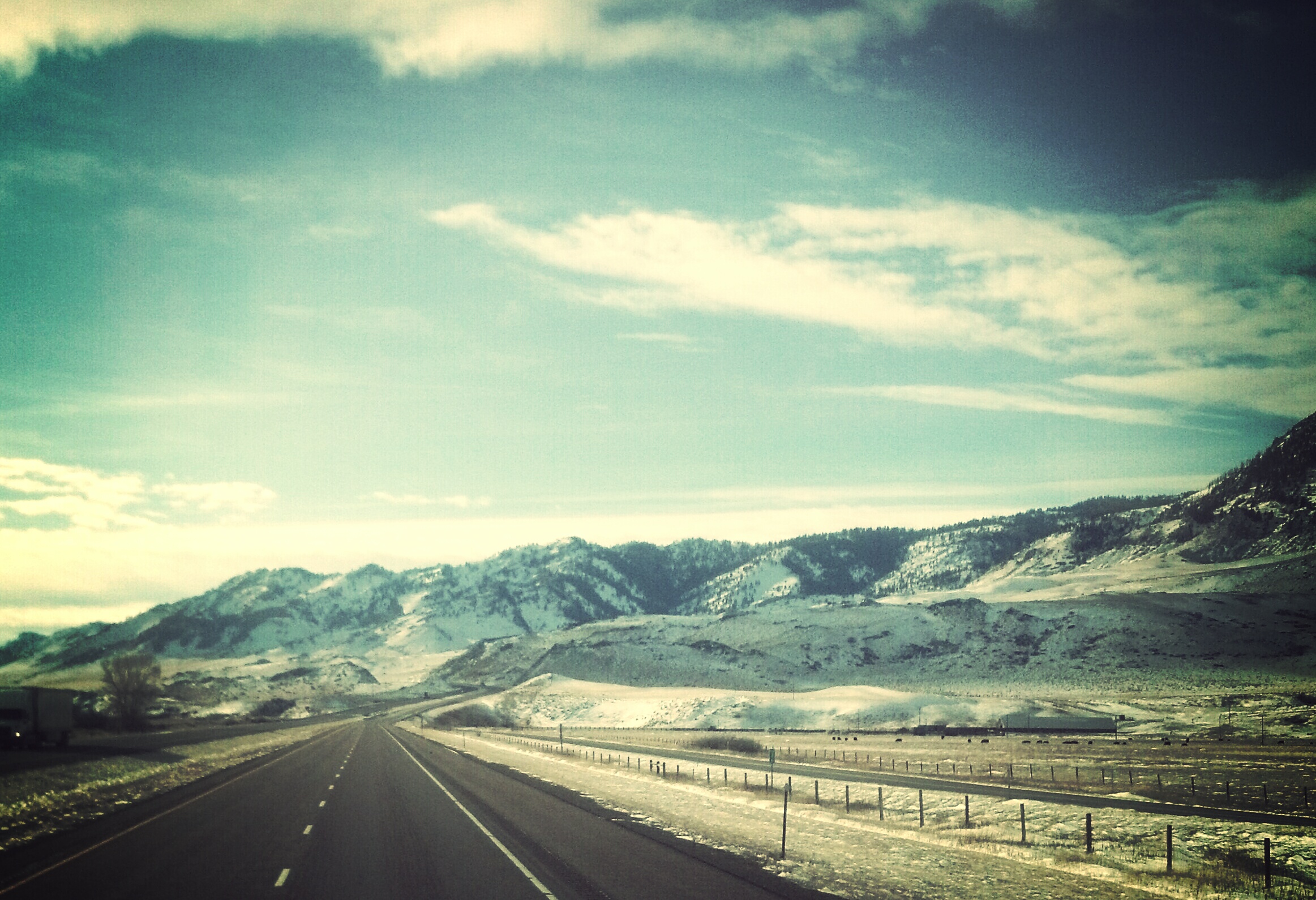
Out of the Plains

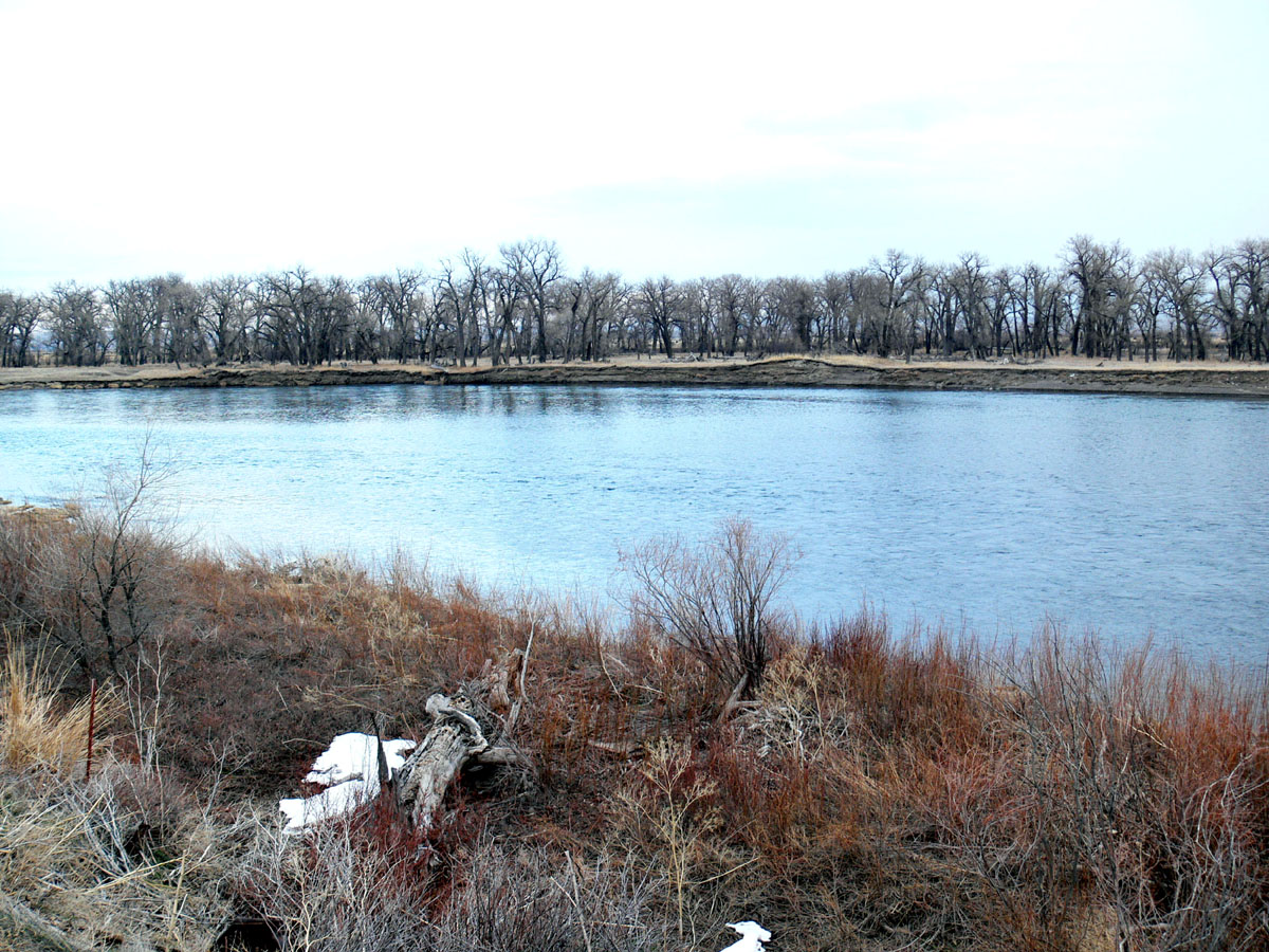
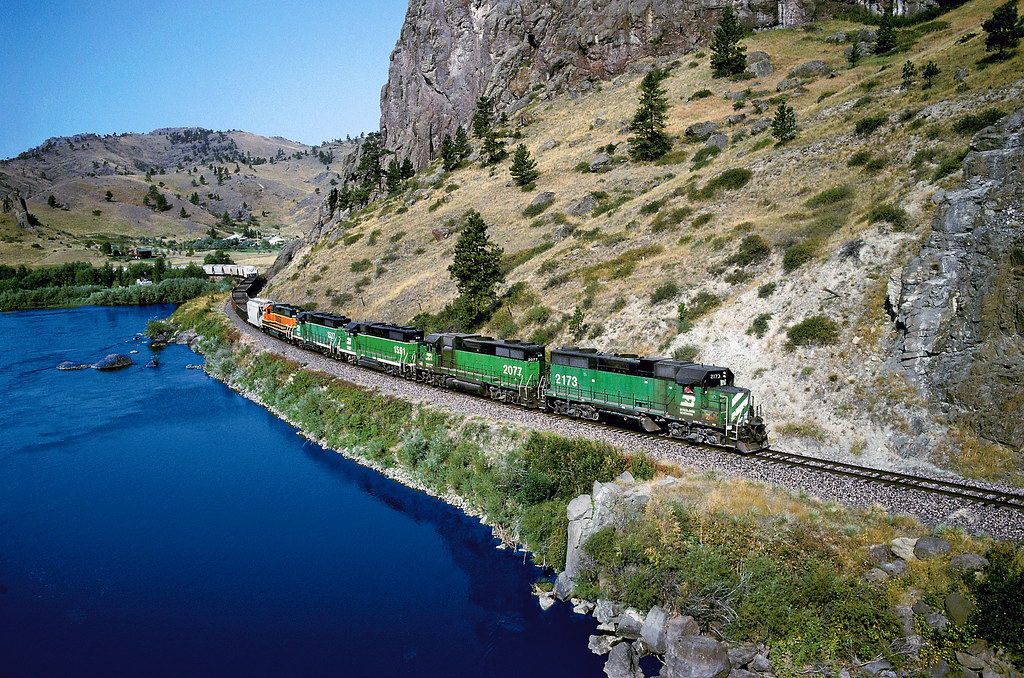
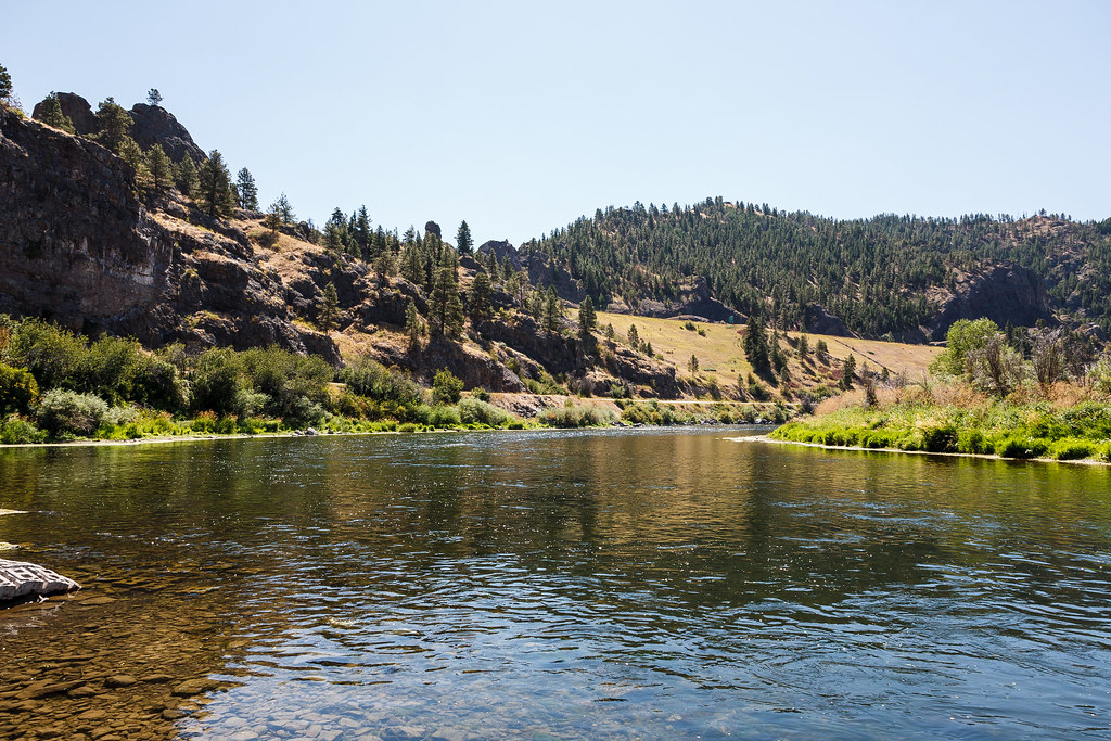
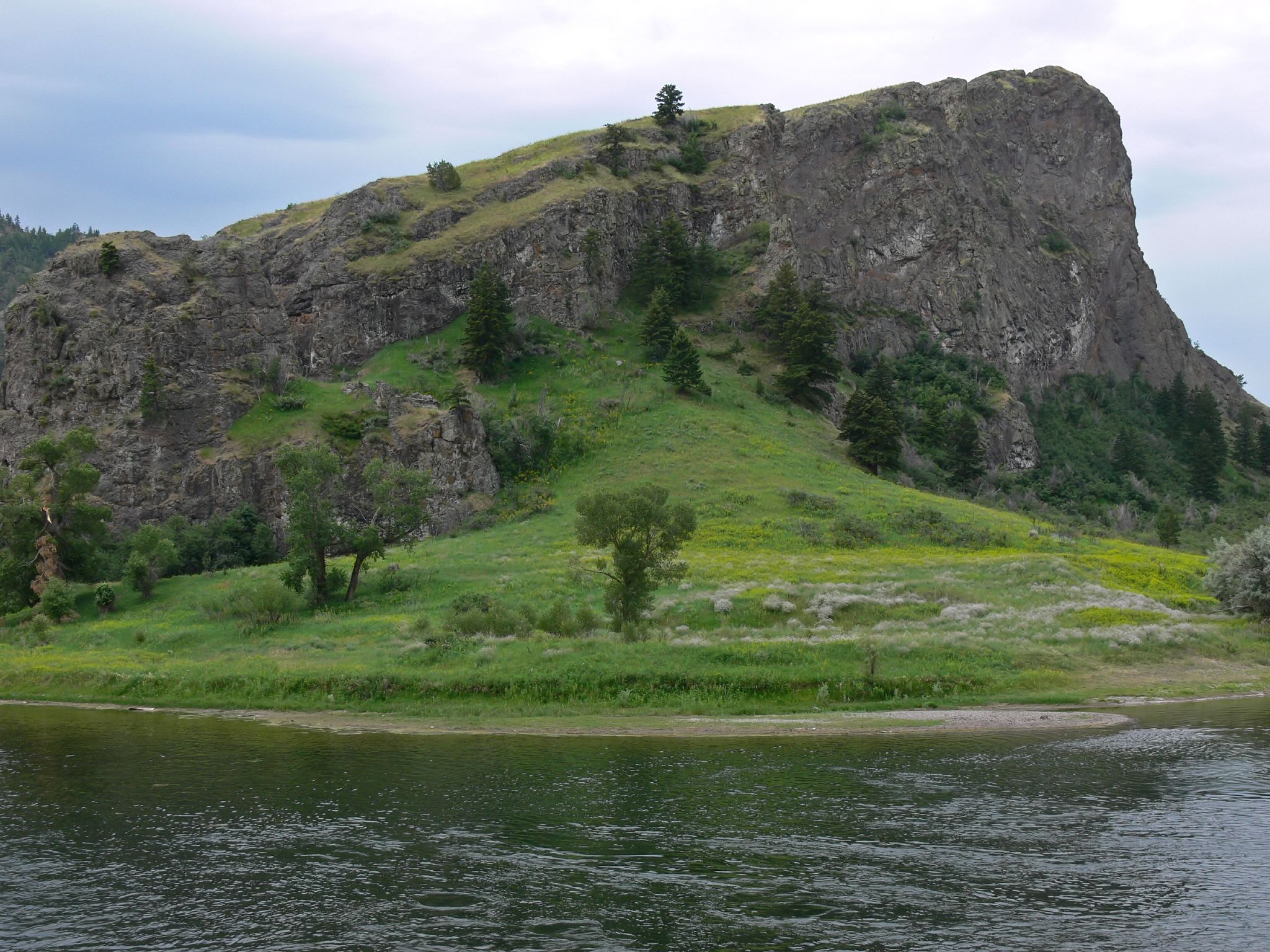
Missouri River
Montana--2
Montana 2012-107
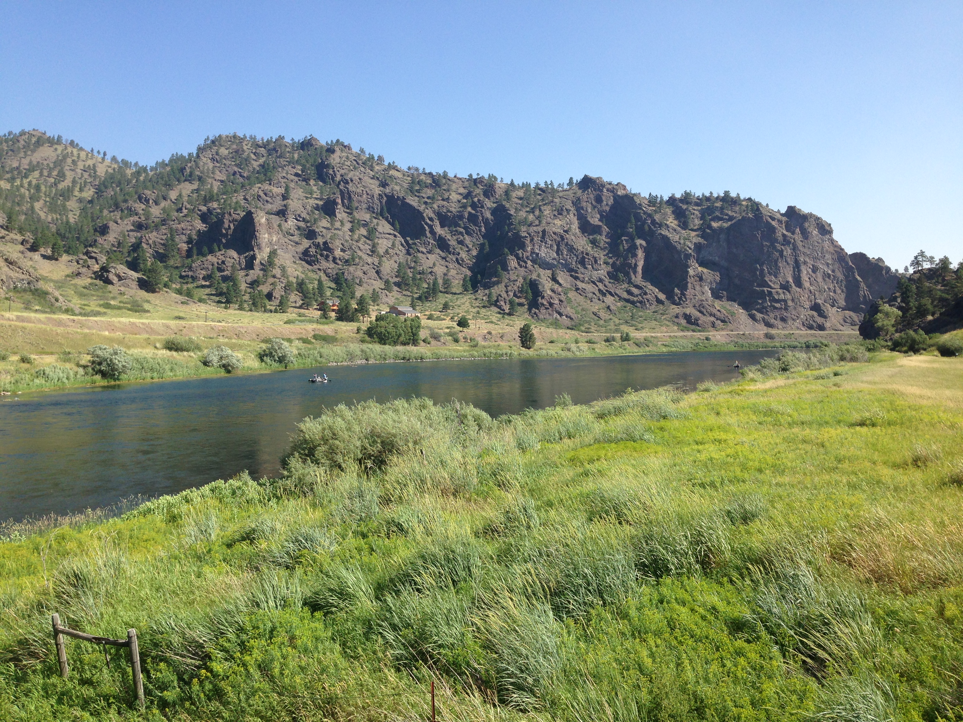
Missouri River
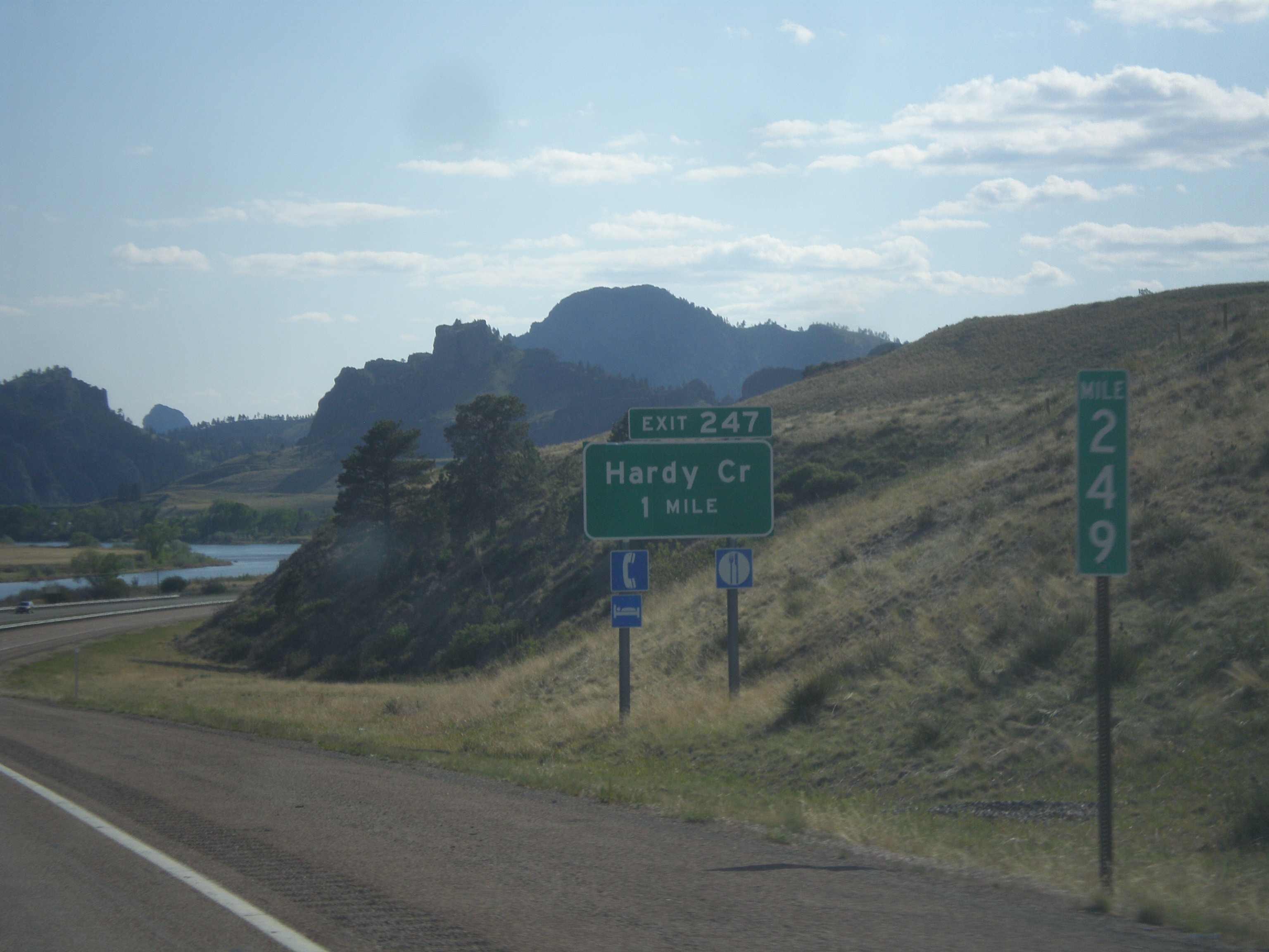
I-15 South - Exit 247
IMG_3098.jpg
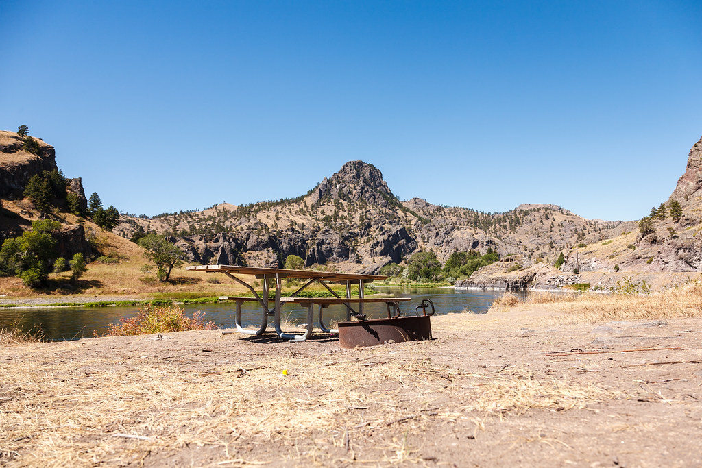
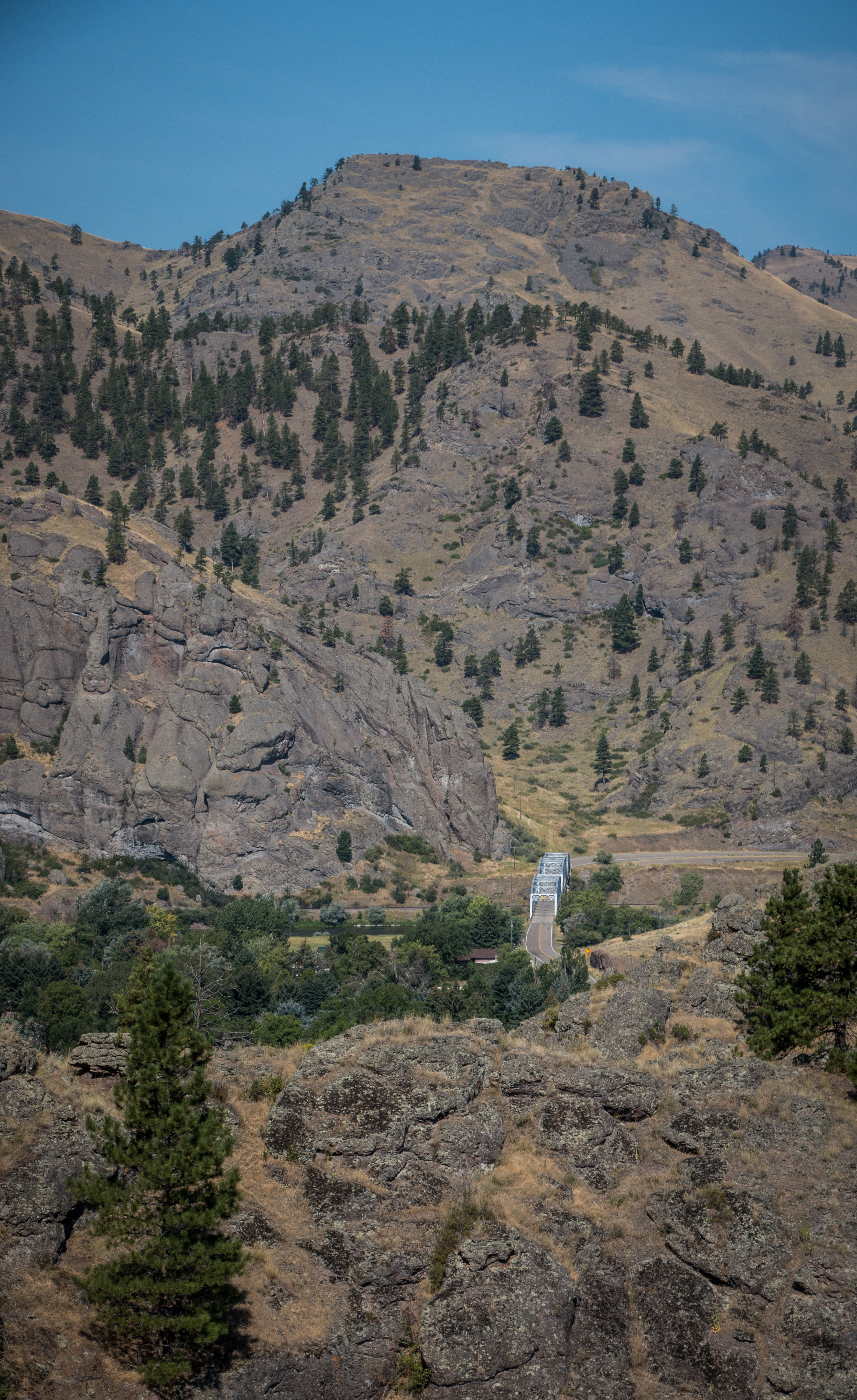
Missouri River near Hardy Creek
Topographic Map of 15 Sunrise Ln, Cascade, MT, USA
Find elevation by address:

Places near 15 Sunrise Ln, Cascade, MT, USA:
Cascade
77 Tower Rock Rd, Cascade, MT, USA
Cecilia Lane
2747 Old U.s.91
2747 Old U.s.91
250 Luebbe Rd
1209 Wiegand Park Rd
145 Big Pine Ln
145 Big Pine Ln
145 Big Pine Ln
282 10 Mile Rd
Cascade County
16 Russel Lateral
150 Pine Coulee Ln
Fort Shaw
Sun River
110 N Fort Shaw Rd
Milligan Rd, Cascade, MT, USA
192 Dracut Hill Rd
Vaughn
Recent Searches:
- Elevation of Corso Fratelli Cairoli, 35, Macerata MC, Italy
- Elevation of Tallevast Rd, Sarasota, FL, USA
- Elevation of 4th St E, Sonoma, CA, USA
- Elevation of Black Hollow Rd, Pennsdale, PA, USA
- Elevation of Oakland Ave, Williamsport, PA, USA
- Elevation of Pedrógão Grande, Portugal
- Elevation of Klee Dr, Martinsburg, WV, USA
- Elevation of Via Roma, Pieranica CR, Italy
- Elevation of Tavkvetili Mountain, Georgia
- Elevation of Hartfords Bluff Cir, Mt Pleasant, SC, USA