Elevation of Fort Shaw, MT, USA
Location: United States > Montana > Cascade County >
Longitude: -111.81026
Latitude: 47.5055075
Elevation: 1070m / 3510feet
Barometric Pressure: 89KPa
Elevation Map:
Satellite Map:
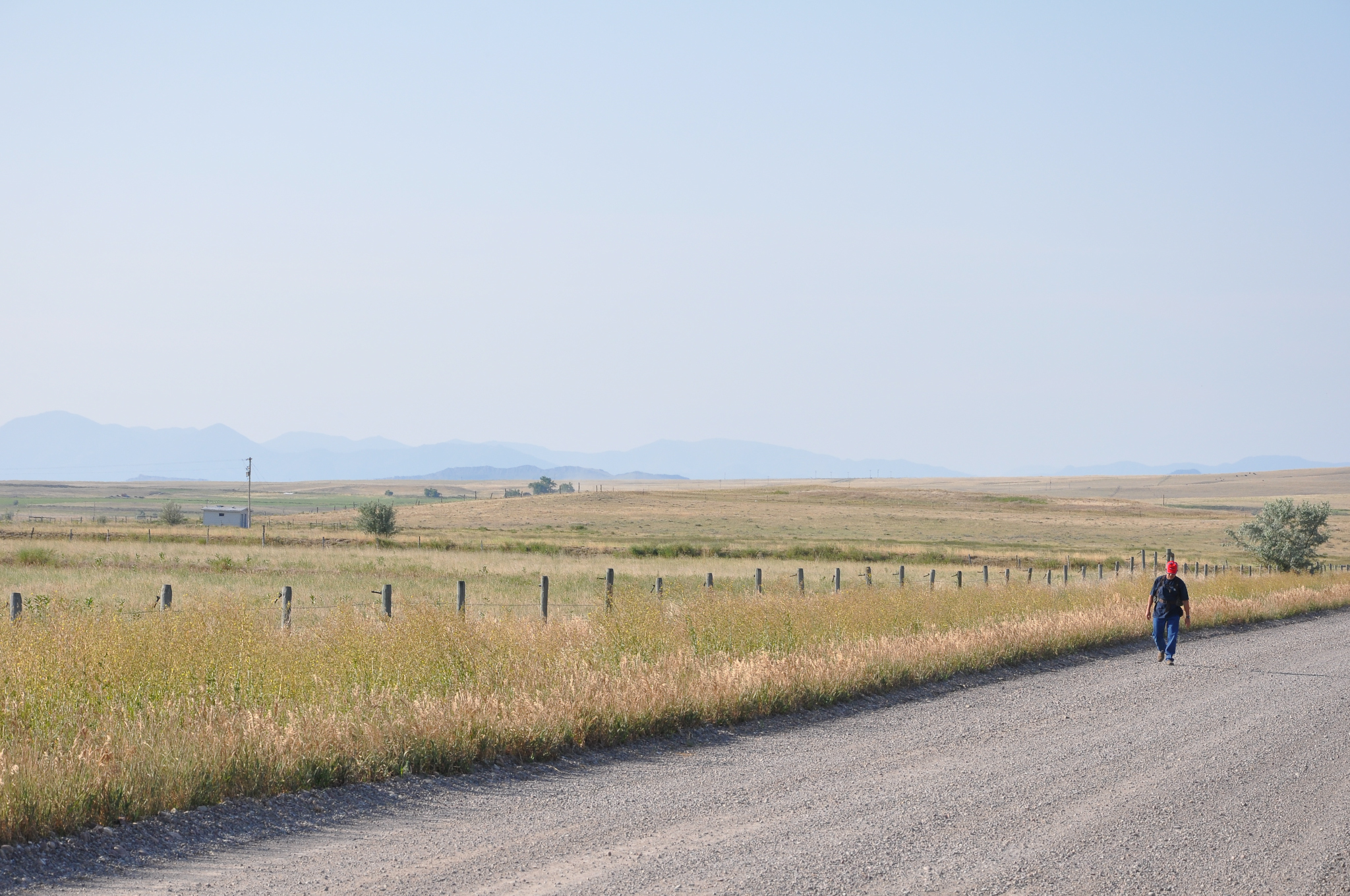
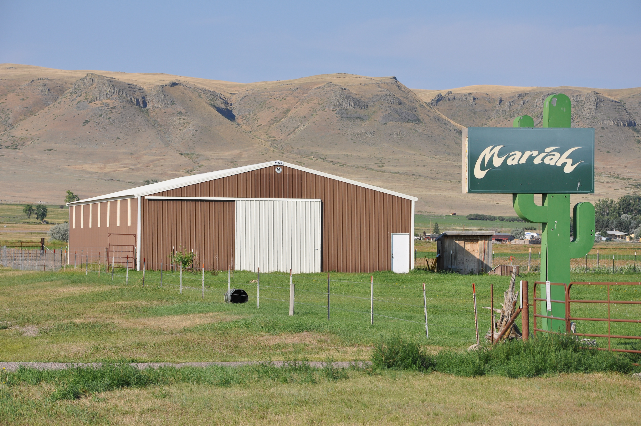
Related Photos:
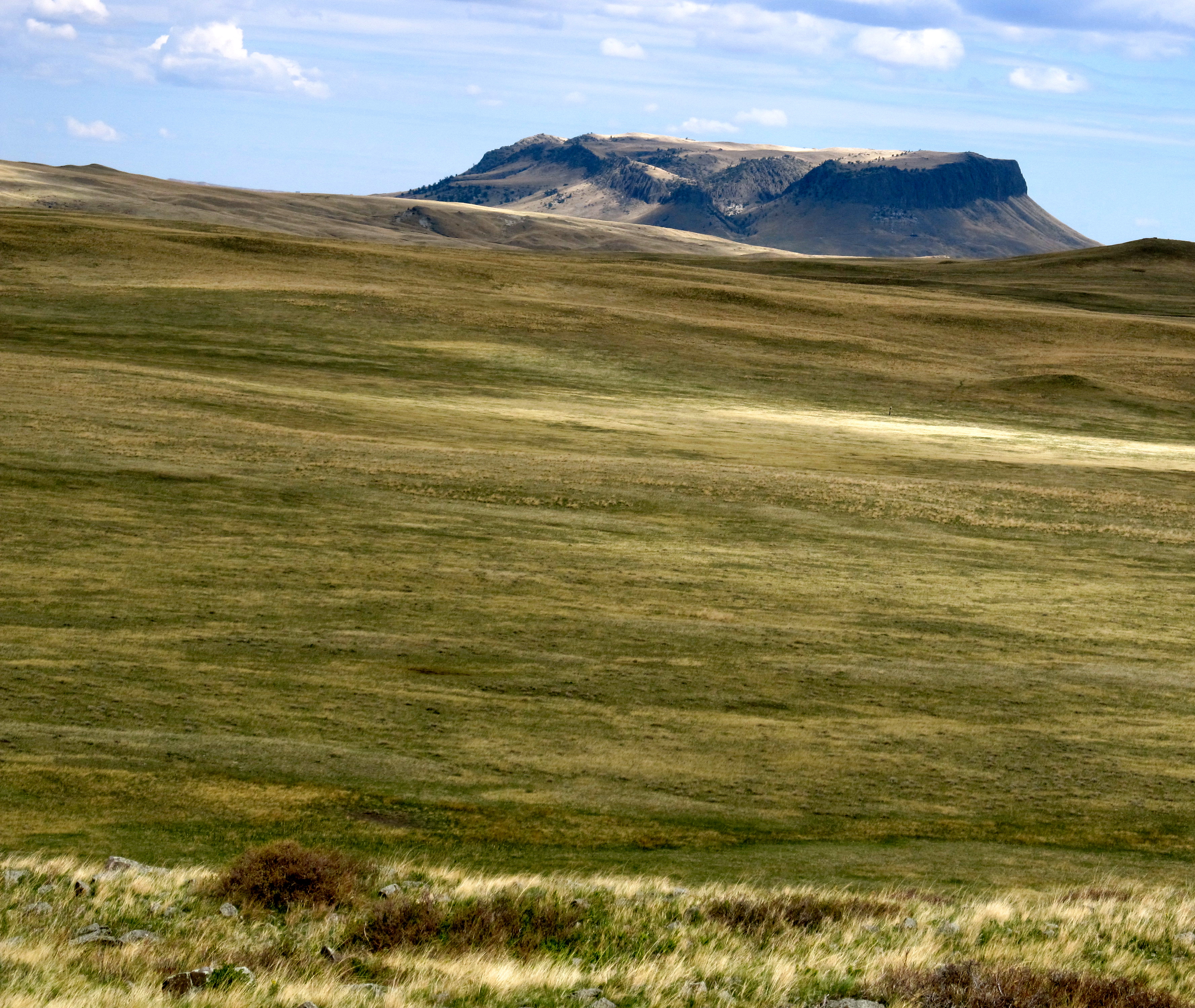
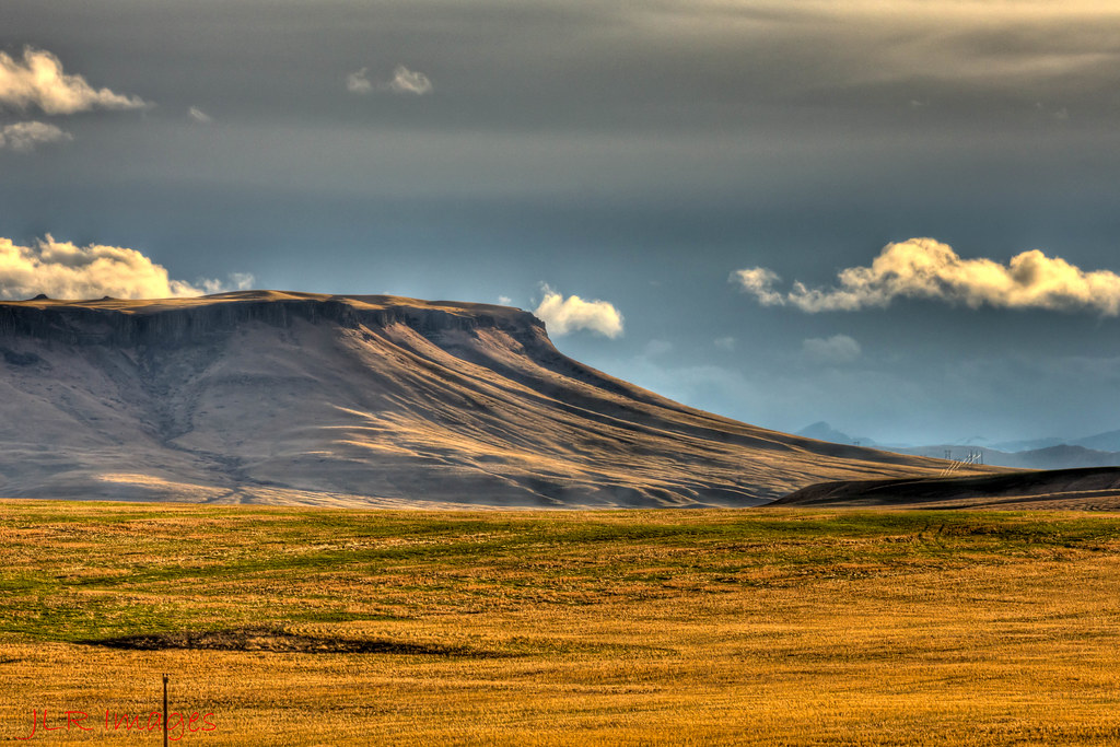
Crown Butte. Montana
MappingMainStreet_FortShawMT-22
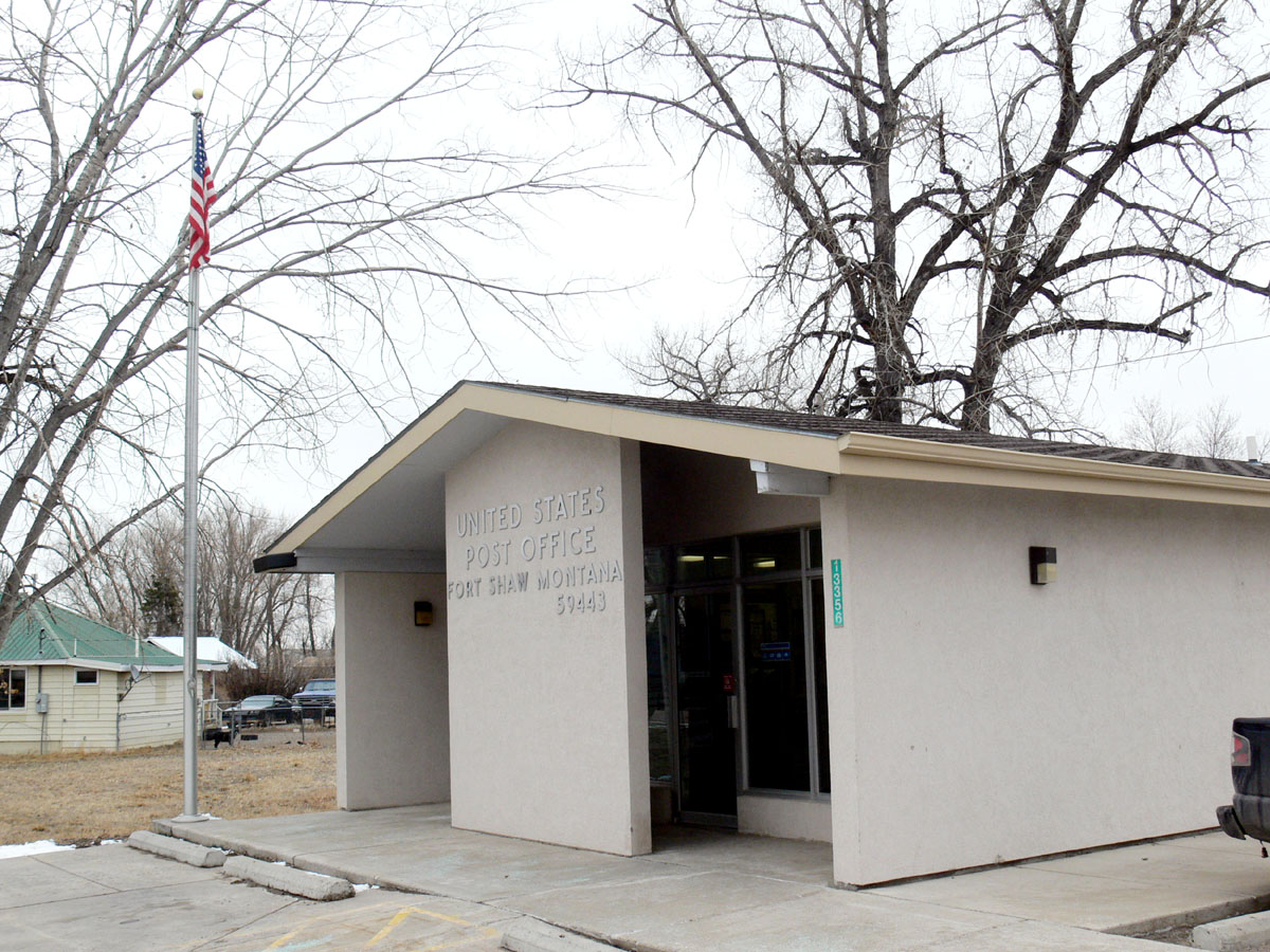
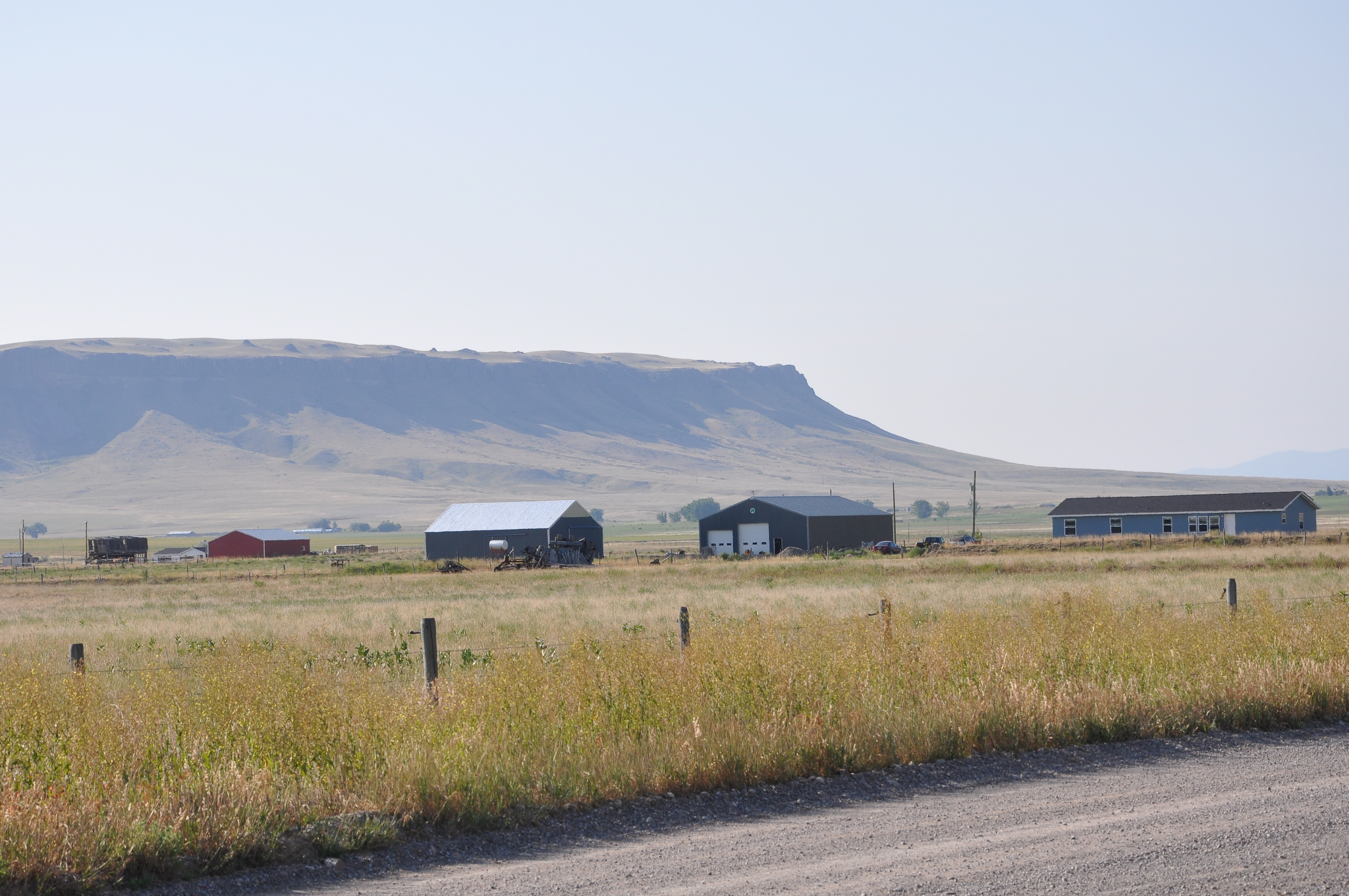
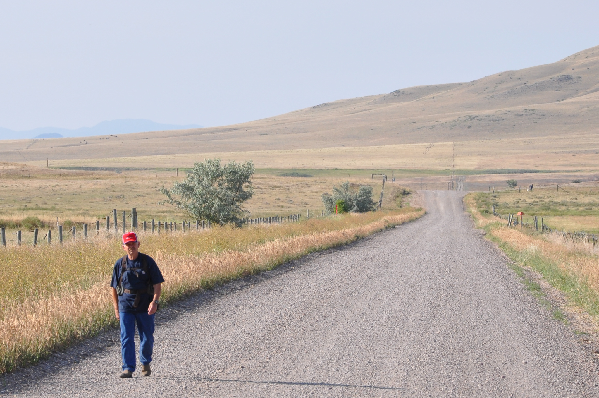
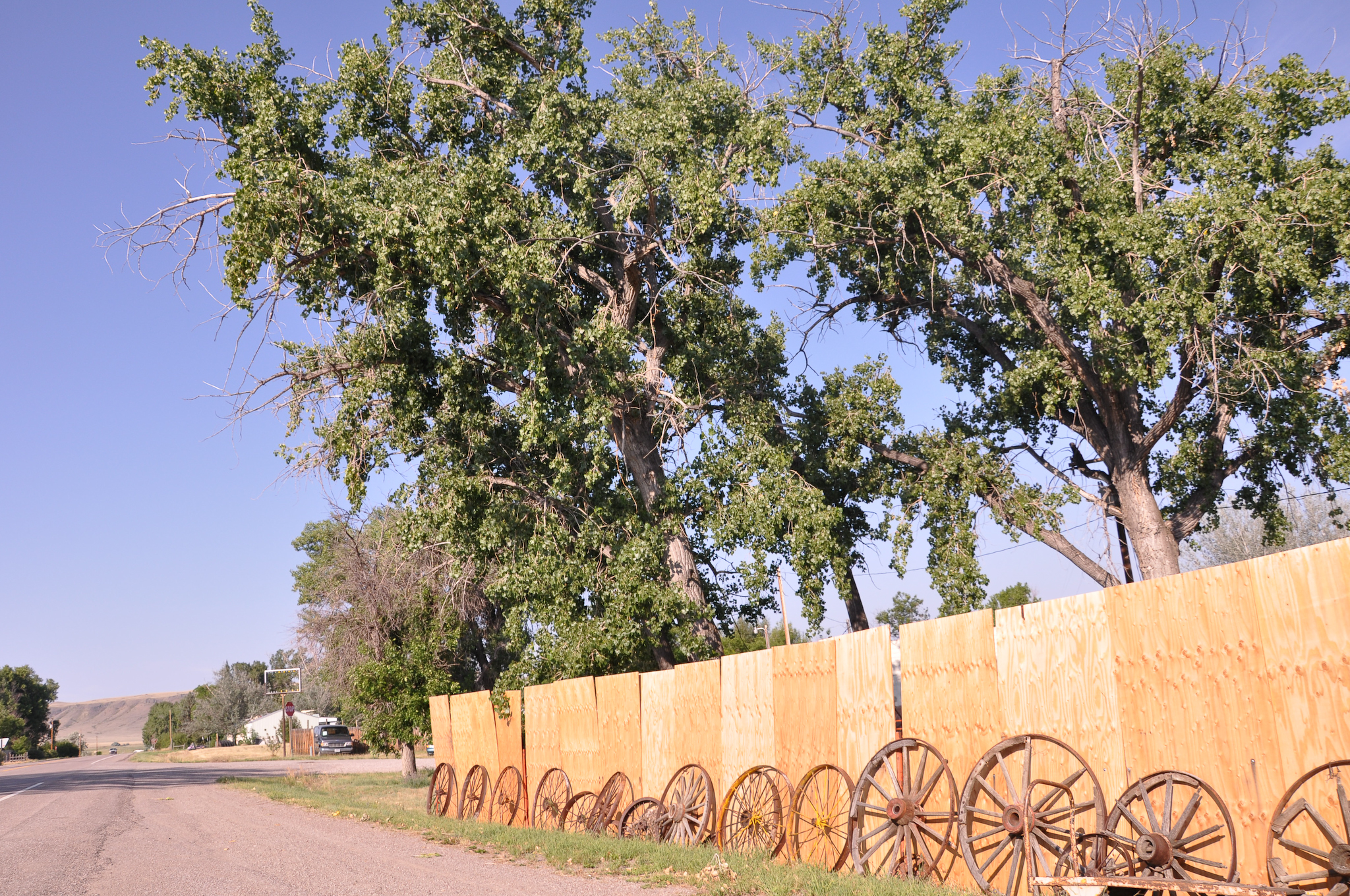
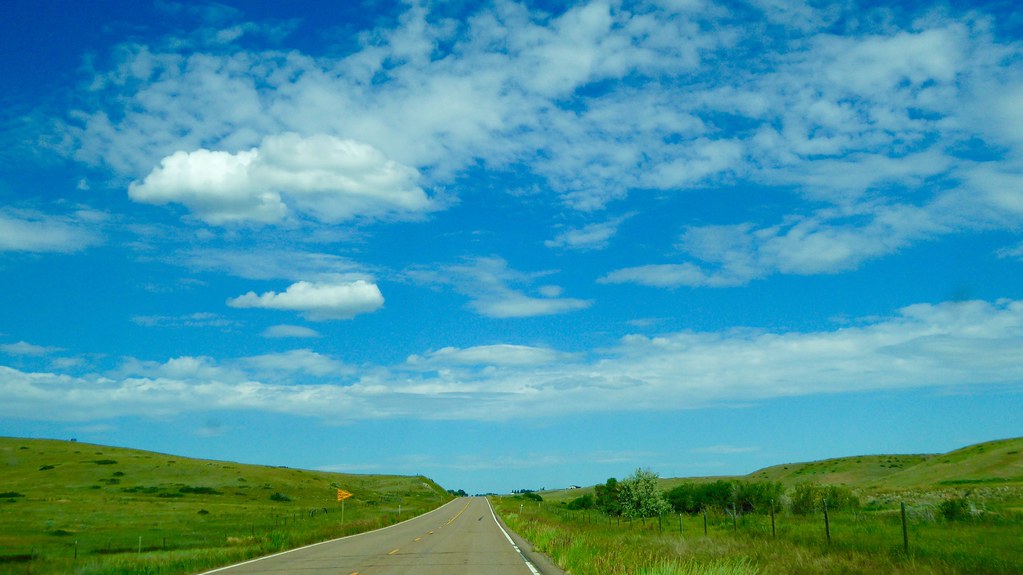
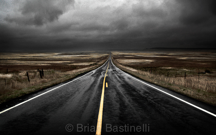
Fort Shaw, Montana 59443
MappingMainStreet_FortShawMT-18
MappingMainStreet_FortShawMT-20
MappingMainStreet_FortShawMT-23
MappingMainStreet_FortShawMT-11
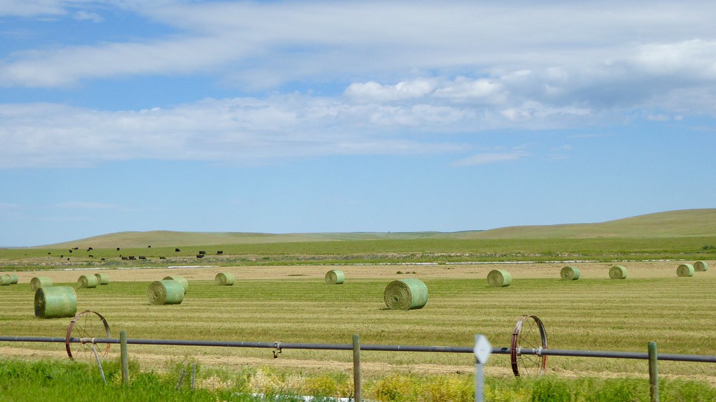
150625 Montana US89 - 9
20050923-0019
150625 Montana US89 - 8
Crown Butte Preserve
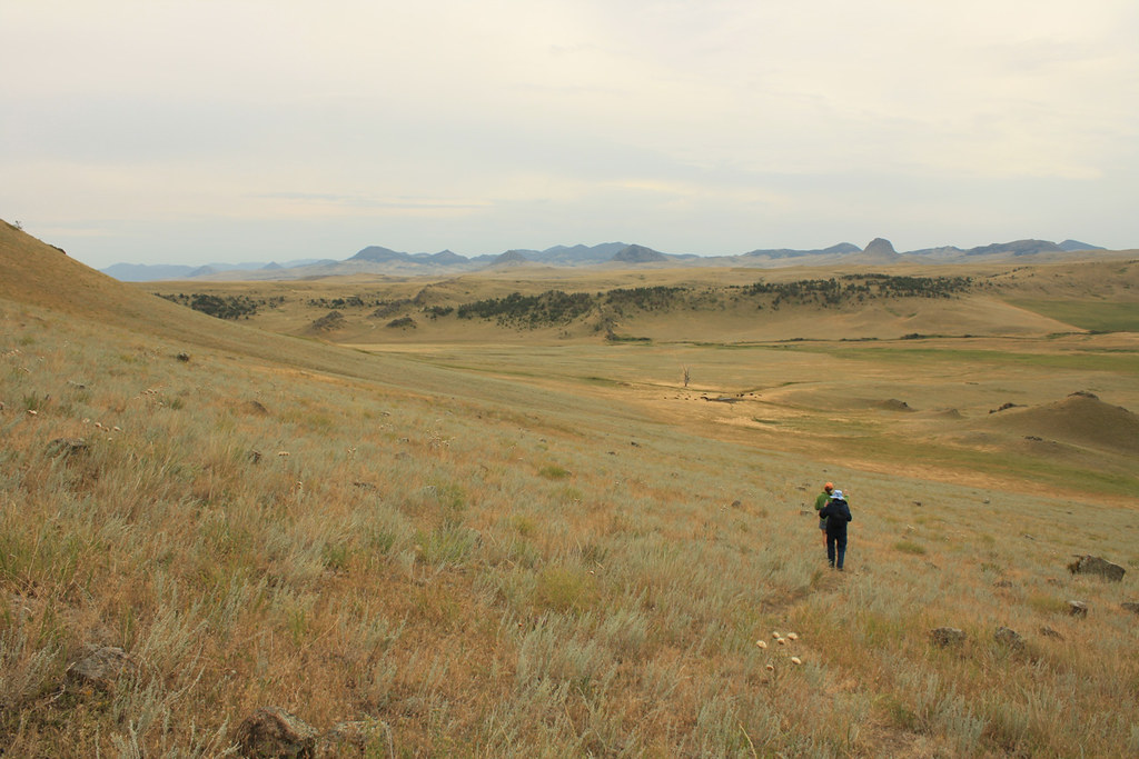
Foot of the Butte
Crown Butte. Montana
IMGP4868-Edit
Oh great
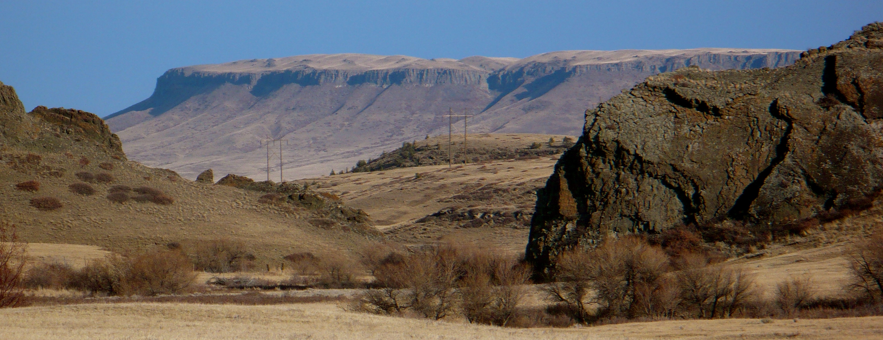
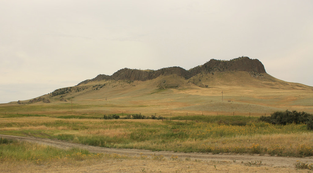
Square Butte Montana
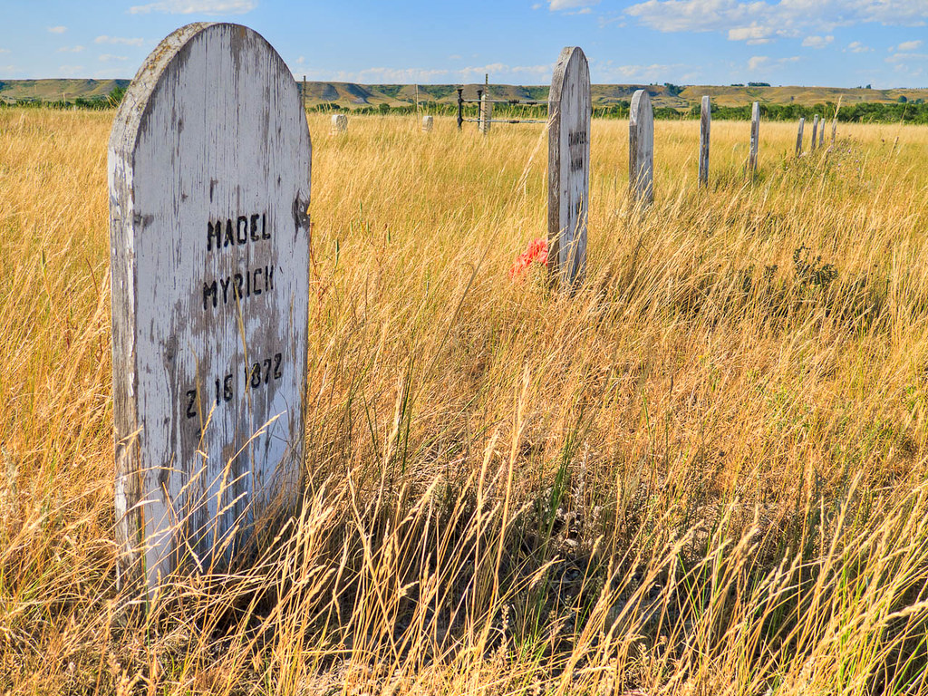
Fort Shaw Military Cemetary
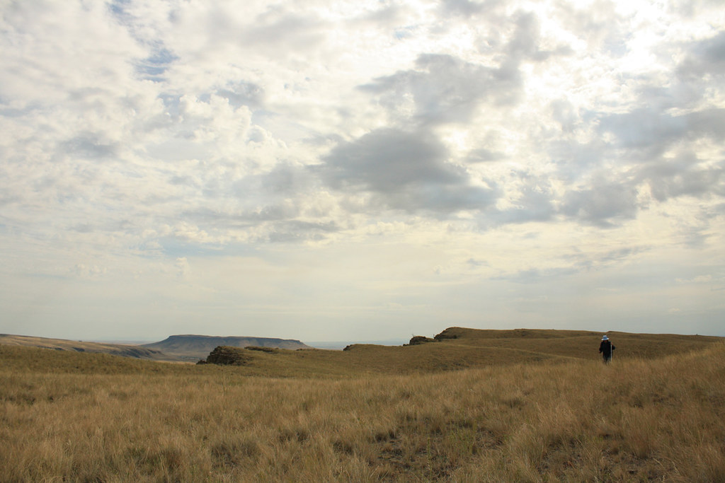
Toward Water Tanks and the car
Trail to Car
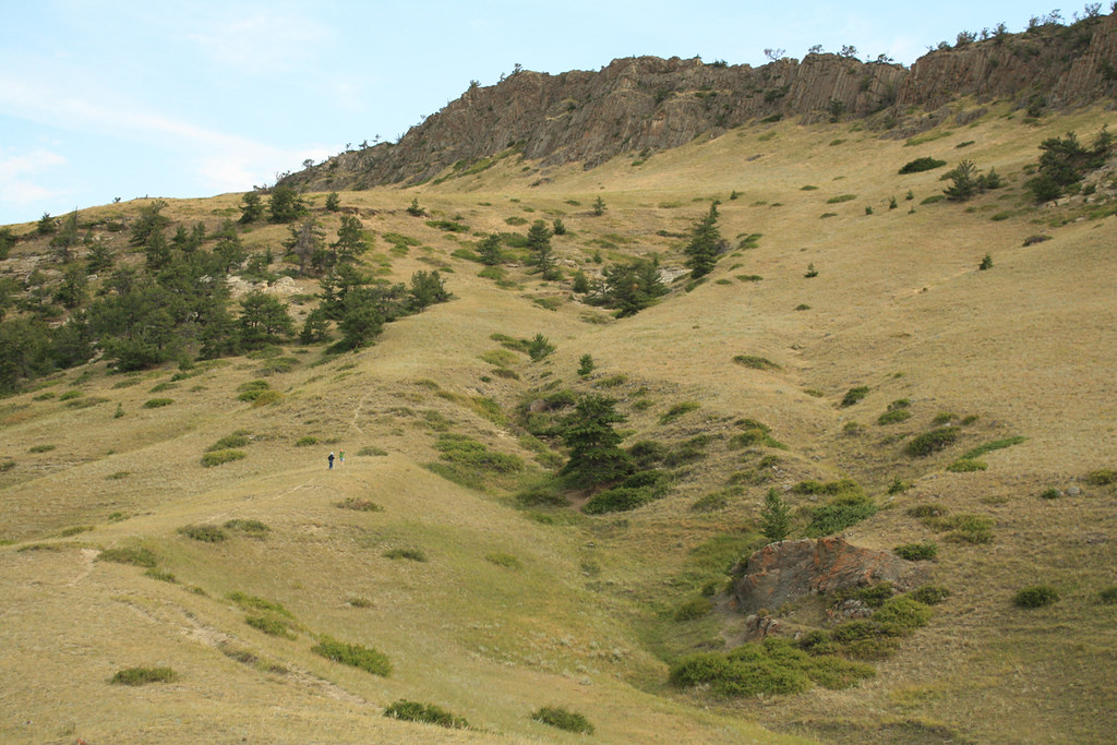
The top is not flat

Rock Pillars
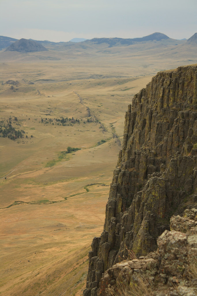
Lacolith Rim
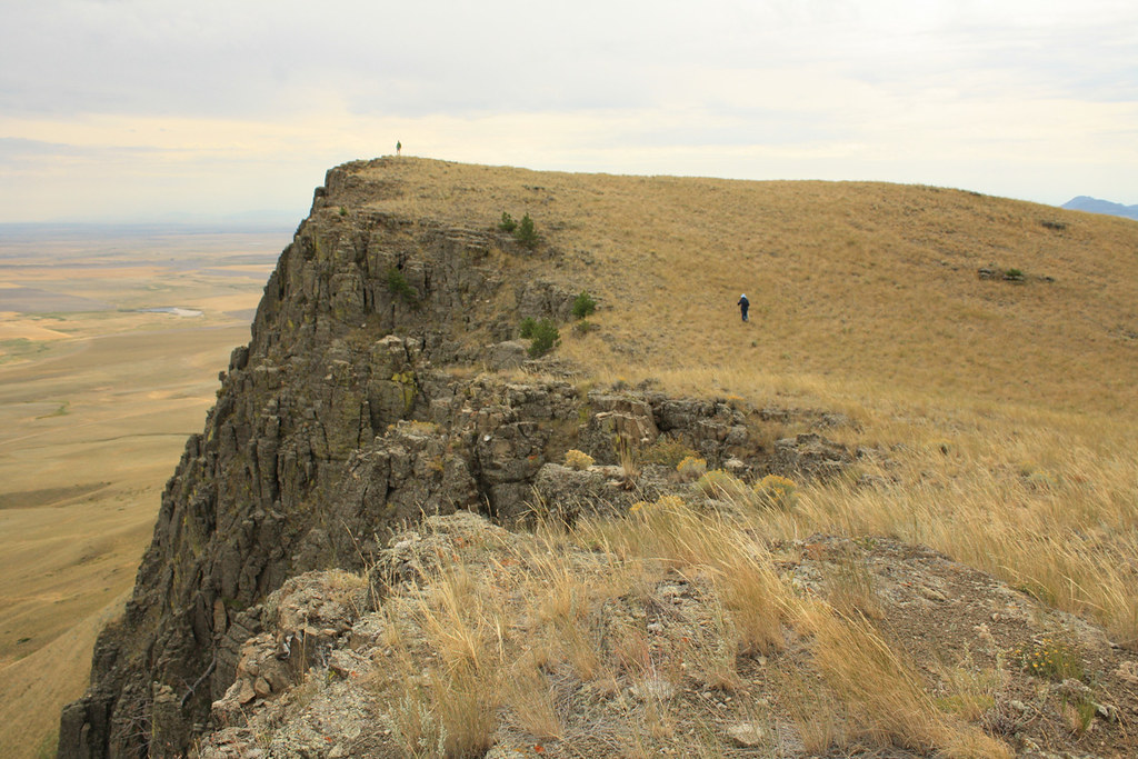
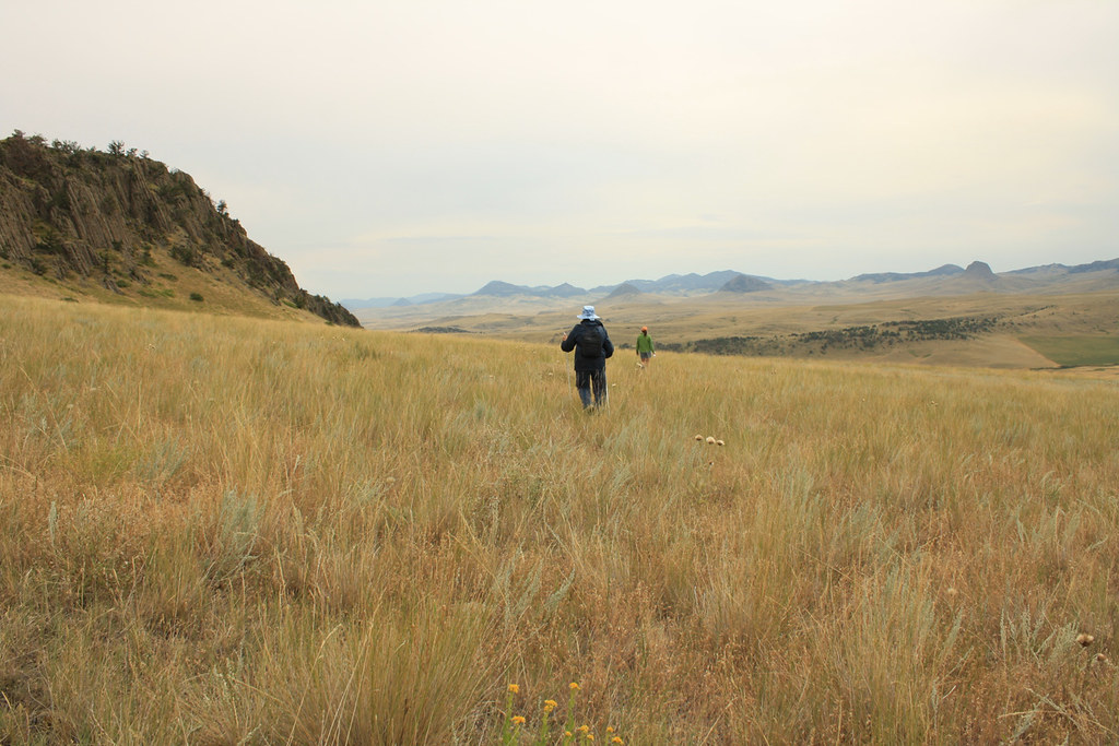
To theTop
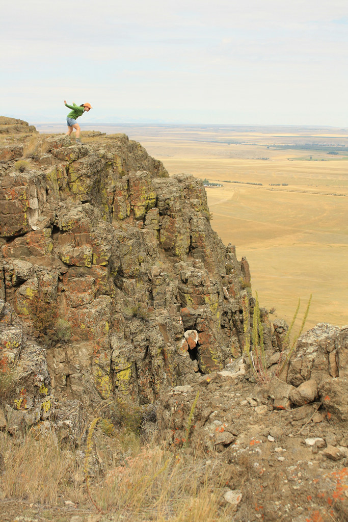
On the Cliffs
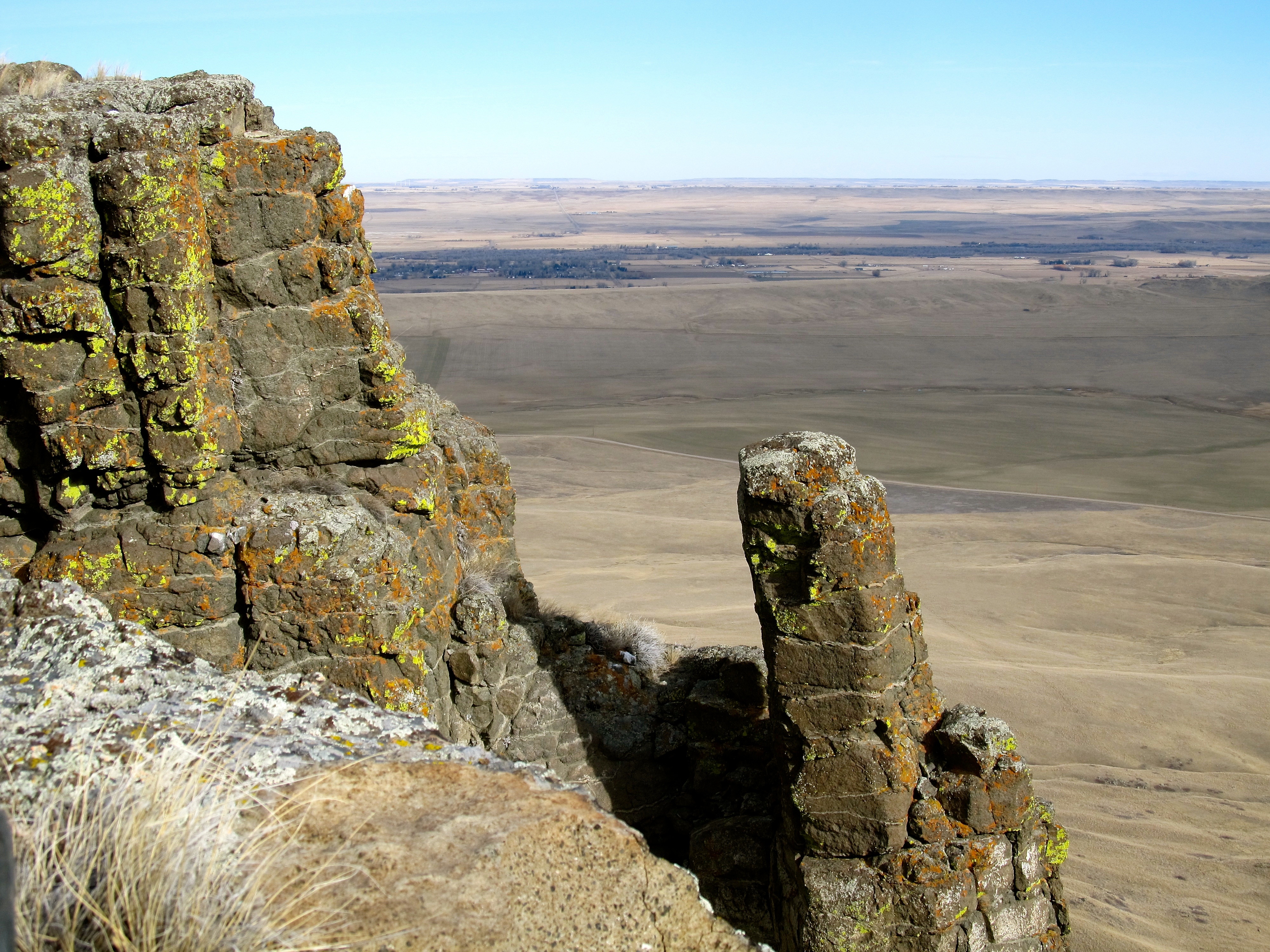
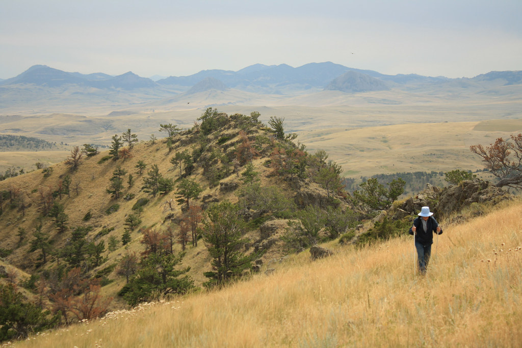
Near the Top
On the way Up
Topographic Map of Fort Shaw, MT, USA
Find elevation by address:

Places near Fort Shaw, MT, USA:
110 N Fort Shaw Rd
16 Russel Lateral
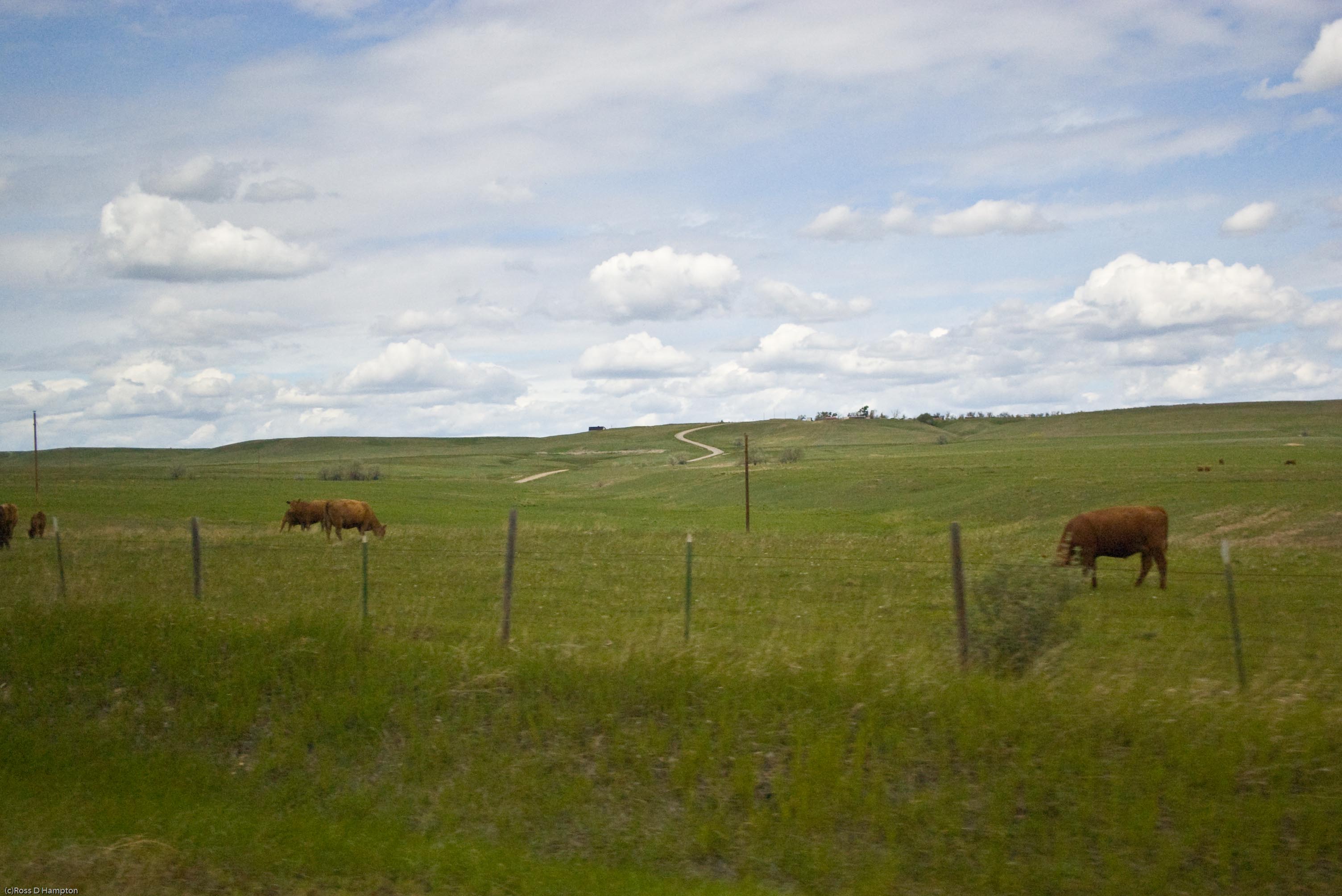
Sun River
192 Dracut Hill Rd
1926 Us-89
250 Luebbe Rd
15 Sunrise Ln
Cascade
Cecilia Lane
Cascade County
Vaughn
1209 Wiegand Park Rd
150 Pine Coulee Ln
77 Tower Rock Rd, Cascade, MT, USA
2747 Old U.s.91
2747 Old U.s.91
145 Big Pine Ln
145 Big Pine Ln
145 Big Pine Ln
Milligan Rd, Cascade, MT, USA
Recent Searches:
- Elevation of Felindre, Swansea SA5 7LU, UK
- Elevation of Leyte Industrial Development Estate, Isabel, Leyte, Philippines
- Elevation of W Granada St, Tampa, FL, USA
- Elevation of Pykes Down, Ivybridge PL21 0BY, UK
- Elevation of Jalan Senandin, Lutong, Miri, Sarawak, Malaysia
- Elevation of Bilohirs'k
- Elevation of 30 Oak Lawn Dr, Barkhamsted, CT, USA
- Elevation of Luther Road, Luther Rd, Auburn, CA, USA
- Elevation of Unnamed Road, Respublika Severnaya Osetiya — Alaniya, Russia
- Elevation of Verkhny Fiagdon, North Ossetia–Alania Republic, Russia