Elevation of 14 Leidel Ln, Blairsville, GA, USA
Location: United States > Georgia > Union County > Blairsville >
Longitude: -83.855188
Latitude: 34.8106775
Elevation: 629m / 2064feet
Barometric Pressure: 94KPa
Elevation Map:
Satellite Map:
Related Photos:

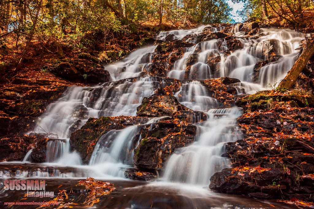
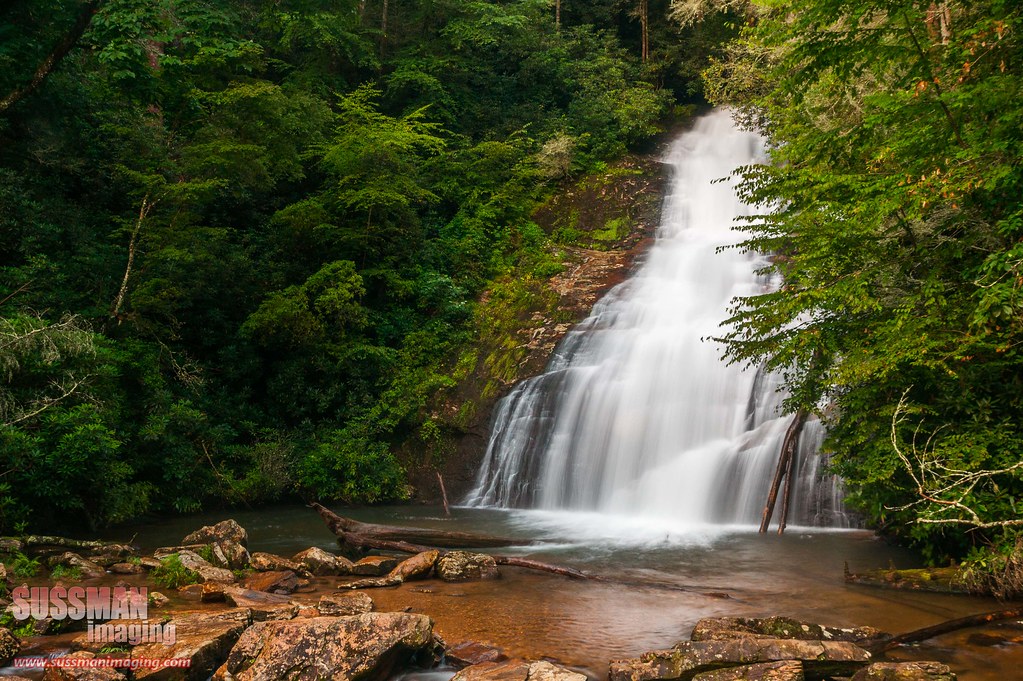
High Shoals Falls
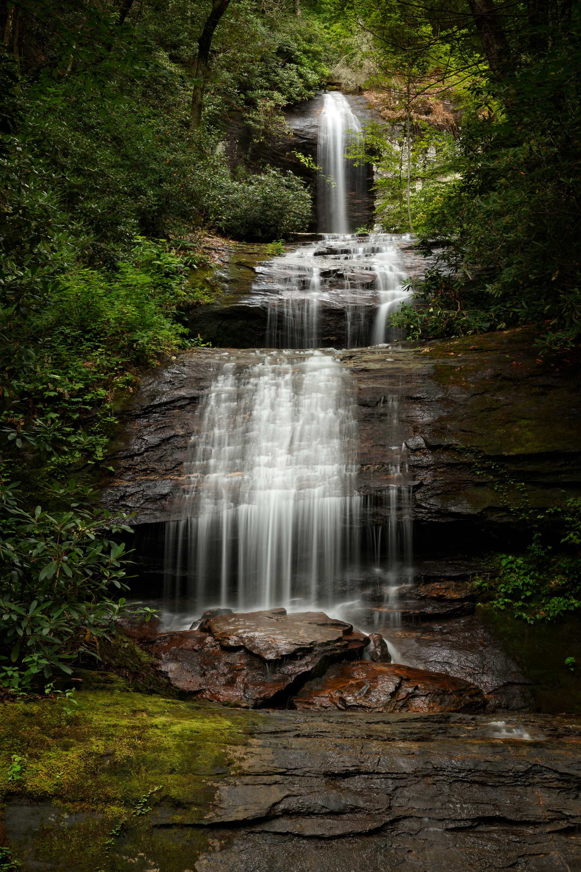
Wolf Creek Falls

Upper Helton

Early Spring Stars
Upper Desoto Falls

Maidenhair Falls

Maidenhair Falls

Dodd Creek Falls

Dodd Creek Falls

Dodd Creek Falls

Winter Jewel

Falls on Dukes Creek

Maidenhair Falls

High Shoals Falls.

Dukes Creek Falls

Maindenhair Falls

Dover Falls

Falls on Dukes Creek

Sweet White Trillium

Horsetrough Falls

Maidenhair Falls
Good morning world! Helen, Ga.
Soft flow. Helen, Ga

Horsetrough Falls

High on Helton

Dodd Creek Falls

Up Into the Green

North Georgia Quartz
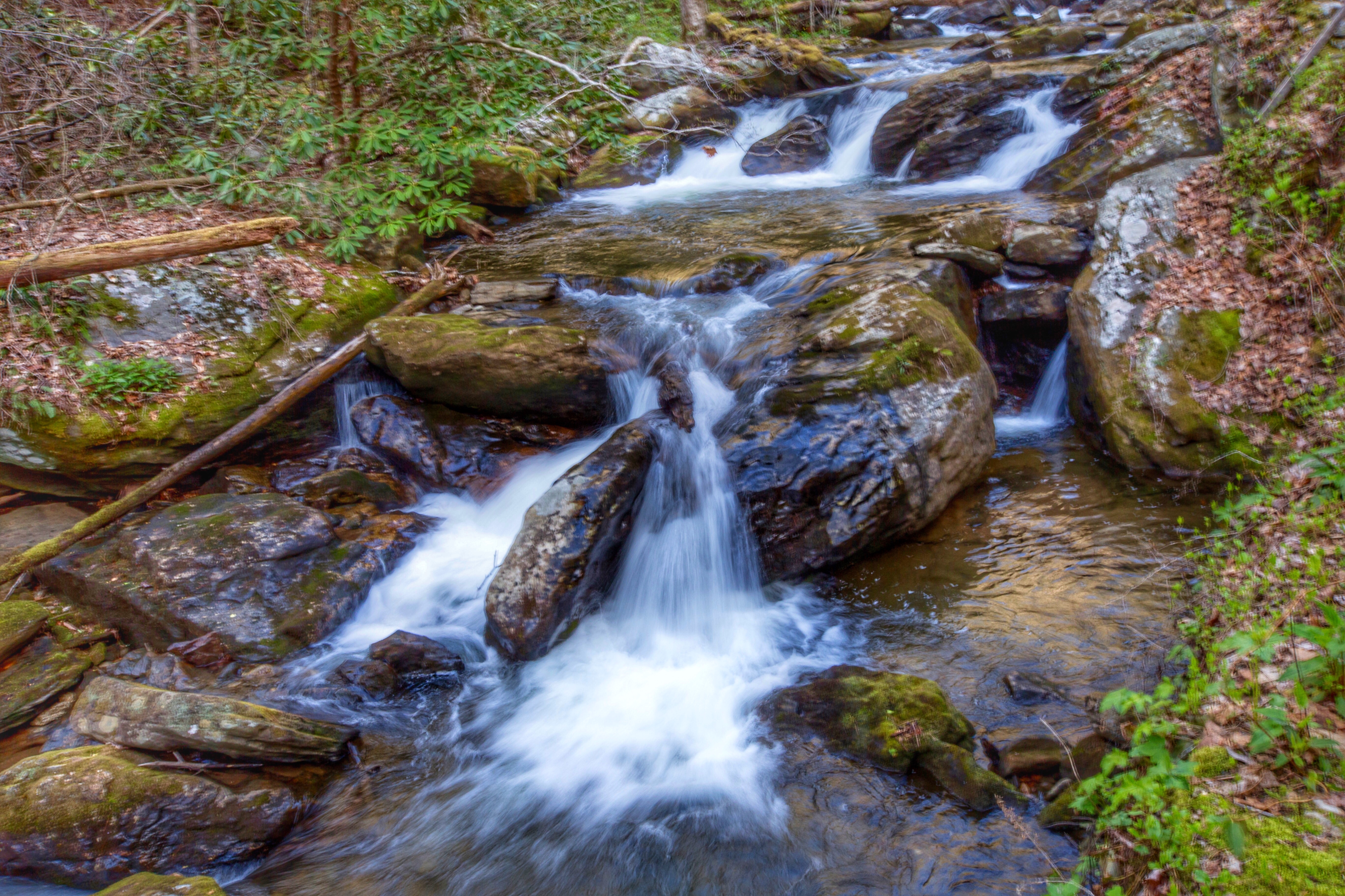
Helton Creek Falls

Lower Helton Creek Falls
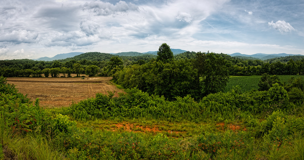
Finish the plowing before it rains
Topographic Map of 14 Leidel Ln, Blairsville, GA, USA
Find elevation by address:

Places near 14 Leidel Ln, Blairsville, GA, USA:
249 Gladson Ln
Walnut Springs Road
3420 State Rte 180
312 Jonas Mountain Rd
Jonas Mountain Road
Fain Branch Rd, Blairsville, GA, USA
165 Jonas Mountain Rd
299 Jonas Mountain Rd
Maple Lane
256 Collins Nursery Ln
158 Back Log Rd
Back Log Road
129 Maple Ln
Arthur Road
1683 Liberty Church Rd
Hunt Hollow Lane
Wildwood Brook
Chuck Norris
C/j Calico Lane
2751 Town Creek School Rd
Recent Searches:
- Elevation of Bella Terra Blvd, Estero, FL, USA
- Elevation of Estates Loop, Priest River, ID, USA
- Elevation of Woodland Oak Pl, Thousand Oaks, CA, USA
- Elevation of Brownsdale Rd, Renfrew, PA, USA
- Elevation of Corcoran Ln, Suffolk, VA, USA
- Elevation of Mamala II, Sariaya, Quezon, Philippines
- Elevation of Sarangdanda, Nepal
- Elevation of 7 Waterfall Way, Tomball, TX, USA
- Elevation of SW 57th Ave, Portland, OR, USA
- Elevation of Crocker Dr, Vacaville, CA, USA