Elevation of 12 S South St, Wilmington, OH, USA
Location: United States > Ohio > Clinton County > Wilmington >
Longitude: -83.828352
Latitude: 39.445492
Elevation: 310m / 1017feet
Barometric Pressure: 98KPa
Elevation Map:
Satellite Map:
Related Photos:

Peggy Hampson

Fred Matthews
COMMON LOON

WIDOW SKIMMER DRAGONFLY
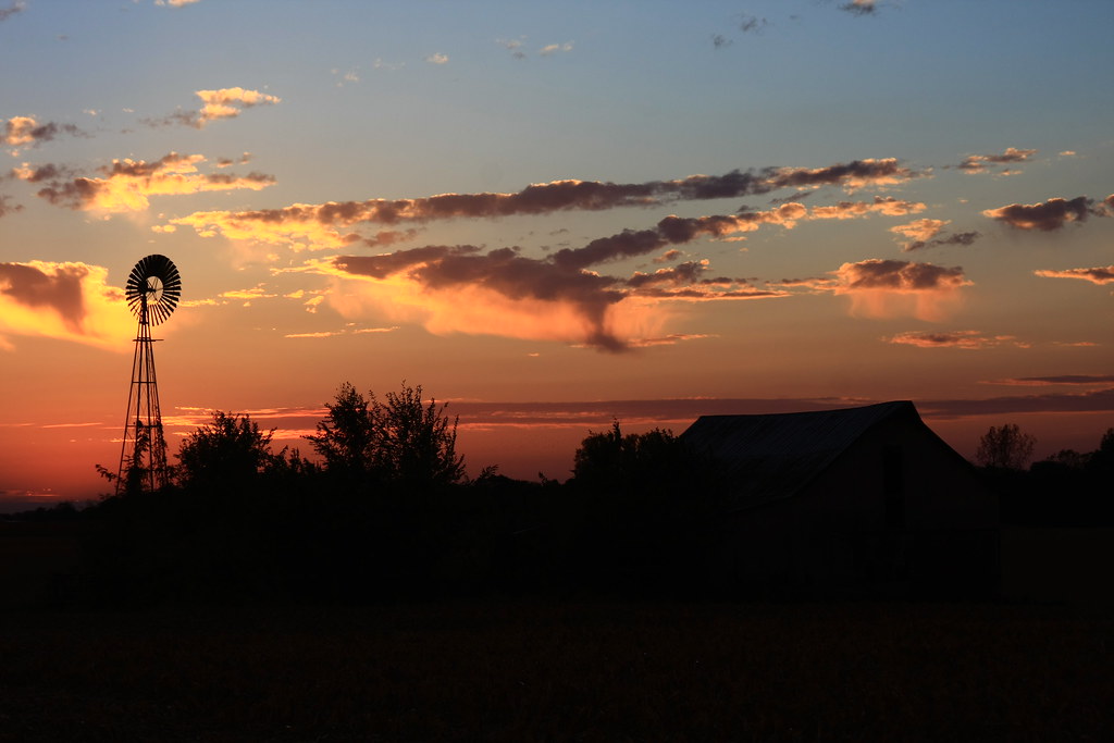
The Sky turns Pastel

HORNED GREBE LANDING

NORTHERN FLICKER

PILEATED WOODPECKER

EASTERN PONDHAWKS - MATING WHEEL

GREAT BLUE HERON

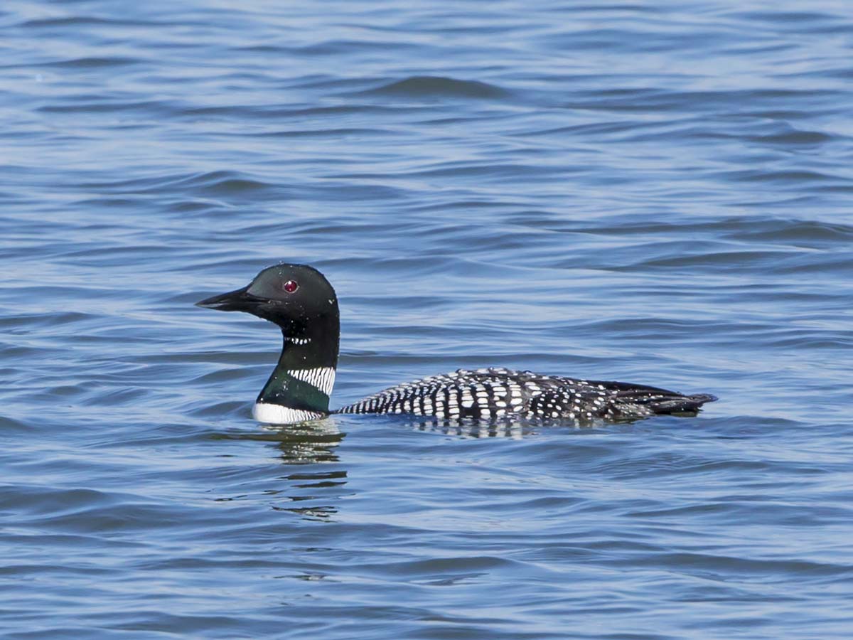
COMMON LOON

EASTERN PONDHAWK - DRAGONFLY

COMMON LOON

MALLARDS - 6 IMAGE PANO

Martinsville, Ohio- Unknown Schoolhouse
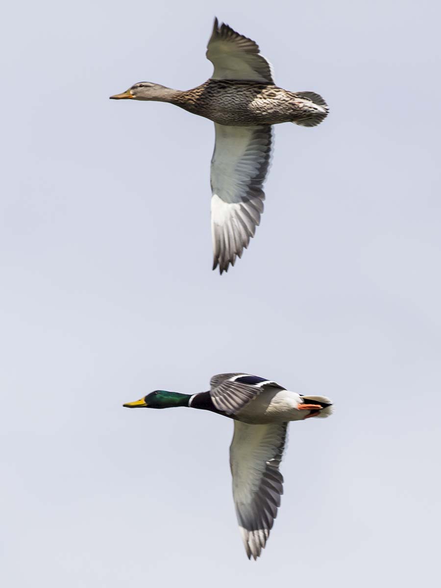
MALLARDS m/fm

BLACK SADDLEBAGS IN FLIGHT

6 IMAGE PANORAMA - LOTUS AT COWAN LAKE

RING-BILLED GULLS on the beach
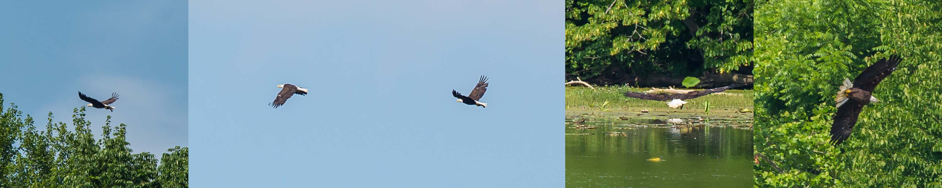
BALD EAGLE CATCHING FISH

COMMON LOON
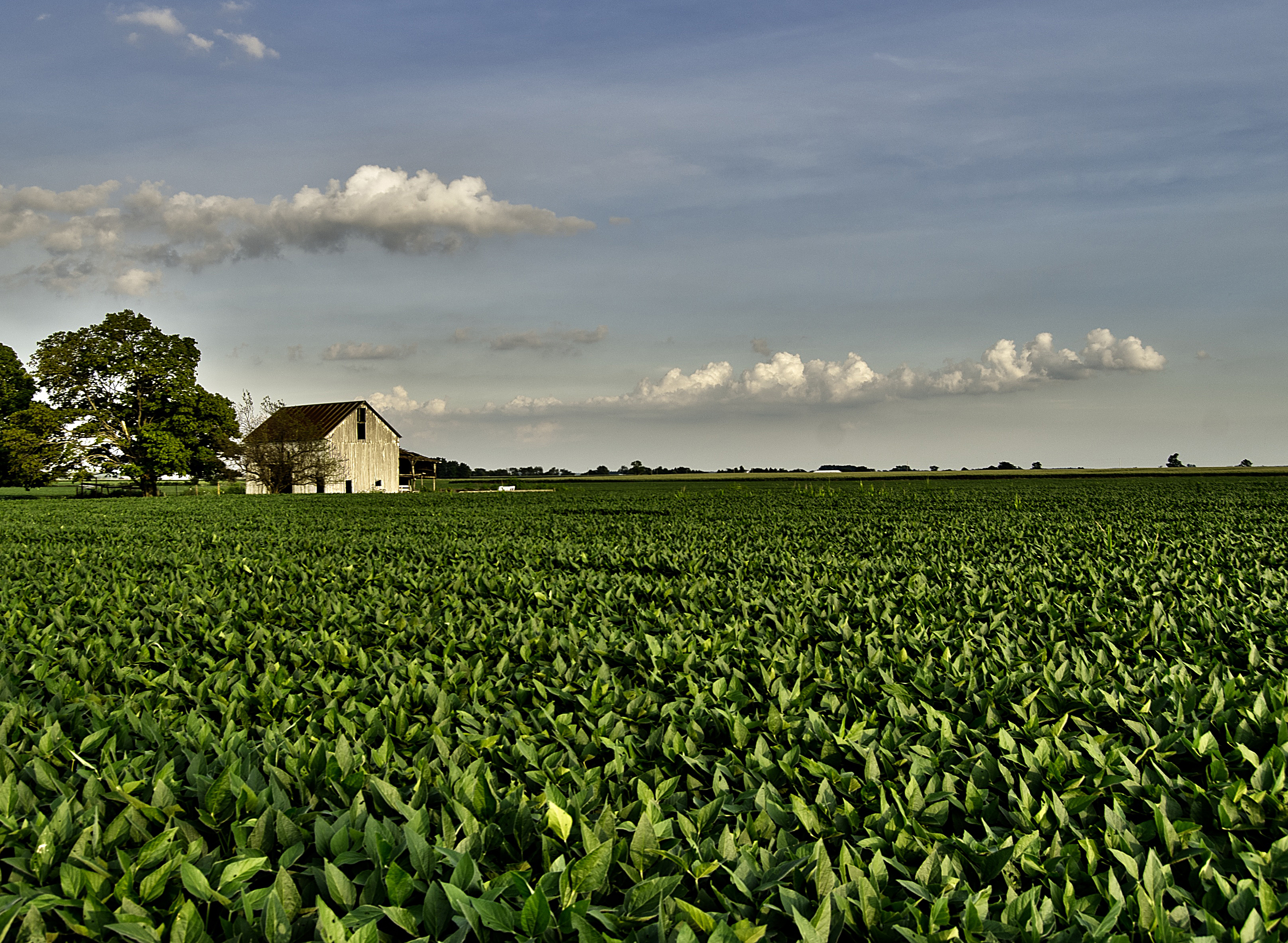
The Barn and field-HDR

The Farm
Legacy 2011-061
Caterpillar grass
Driving home after fun day at Kings Island. Corn corn and more corn #Ohio #country #evening #vacation #funday #kingsisland

Xmas Dayton 2005

A sullen sun
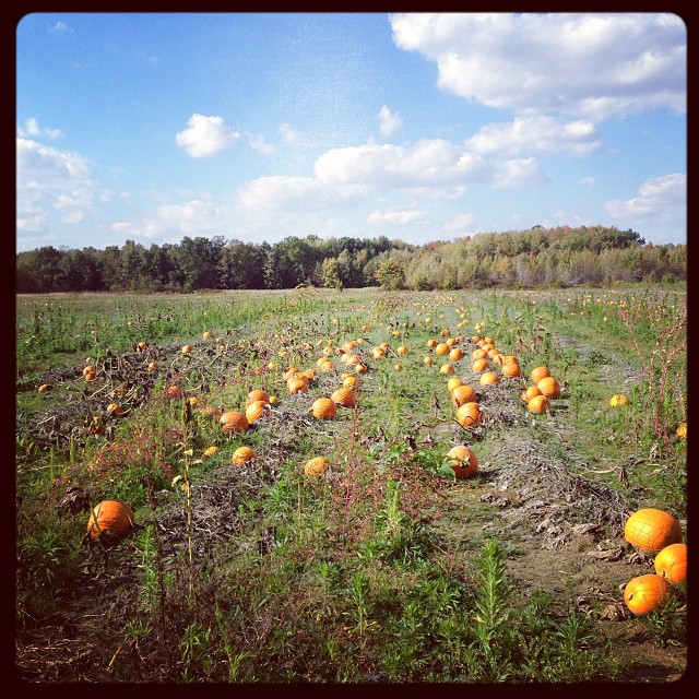
@asteegs pumpkin patch behind the house.
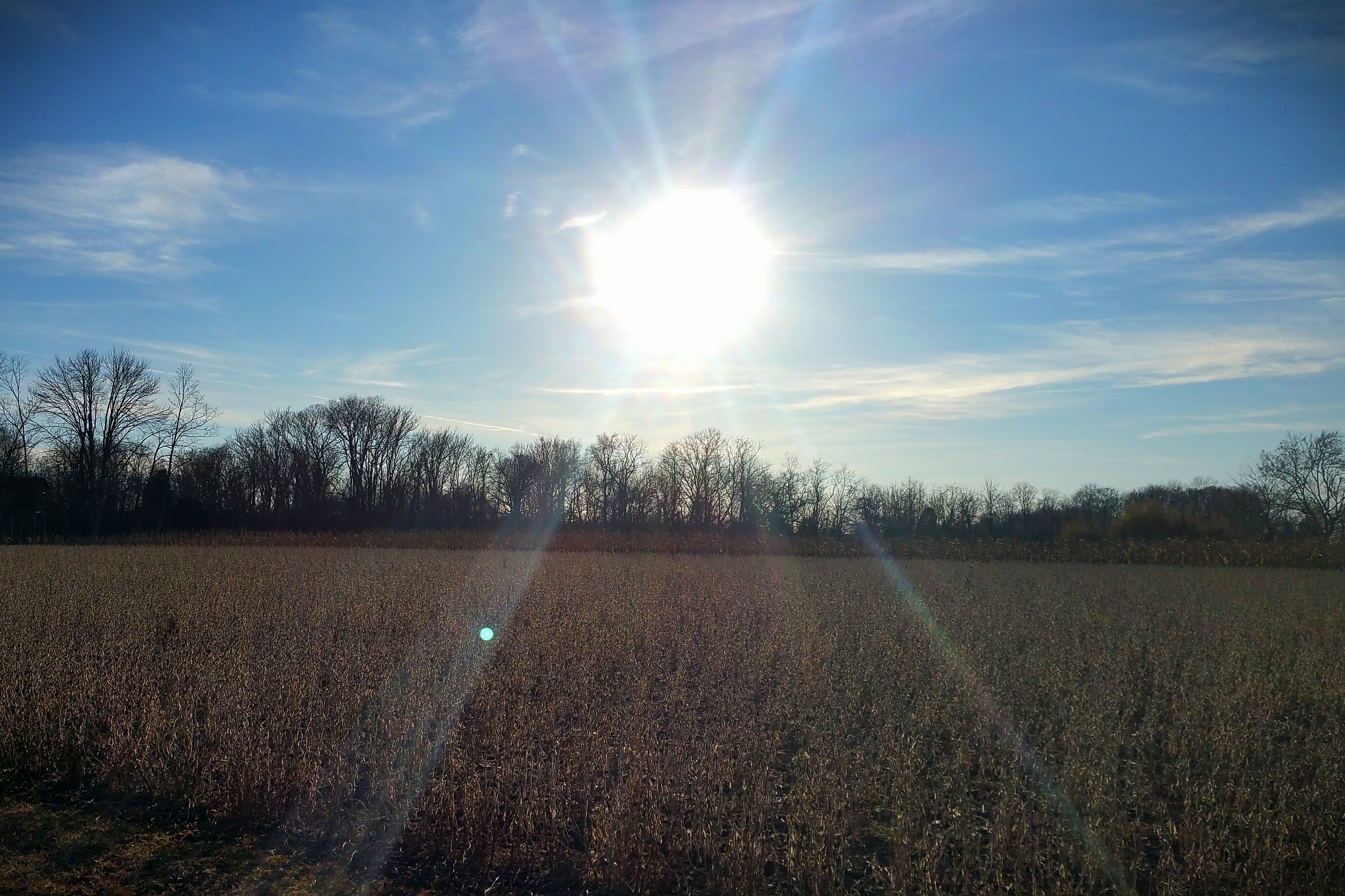
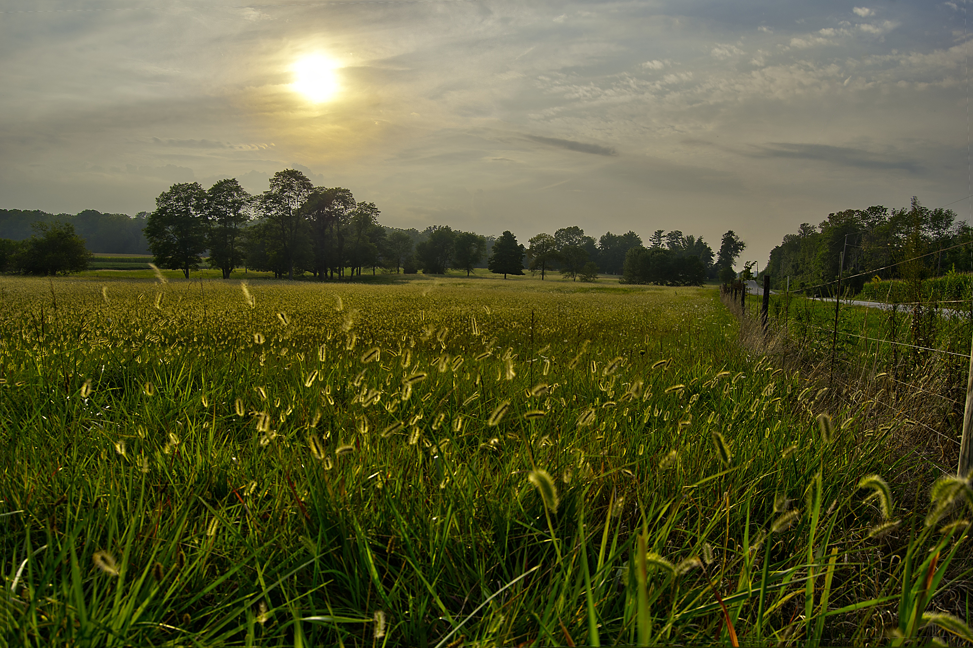
Sun Over Farm

COWAN LAKE AT SUNSET

SONG SPARROW

LOTUS at COWAN LAKE

After the Harvest
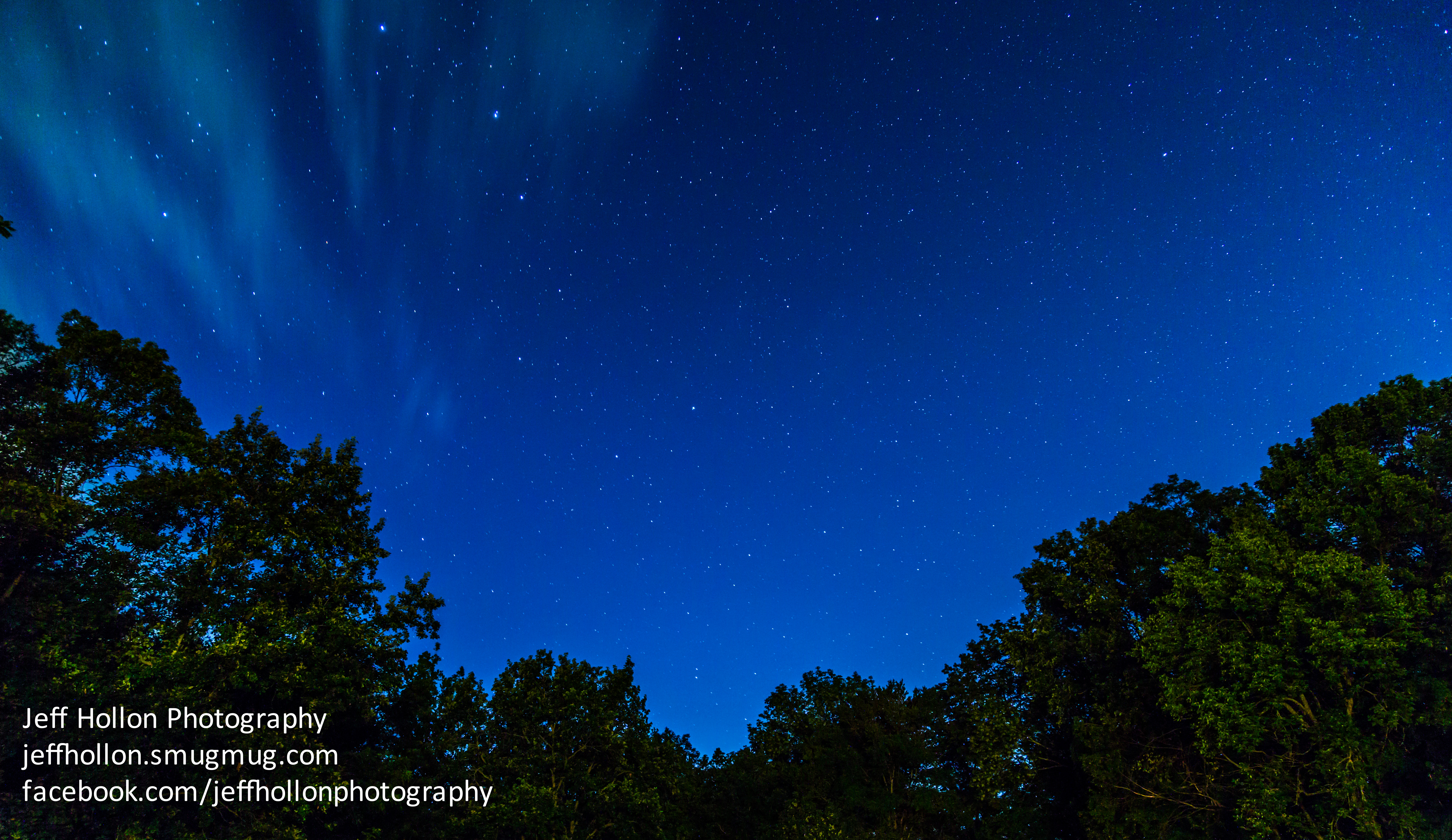
The Big Dipper
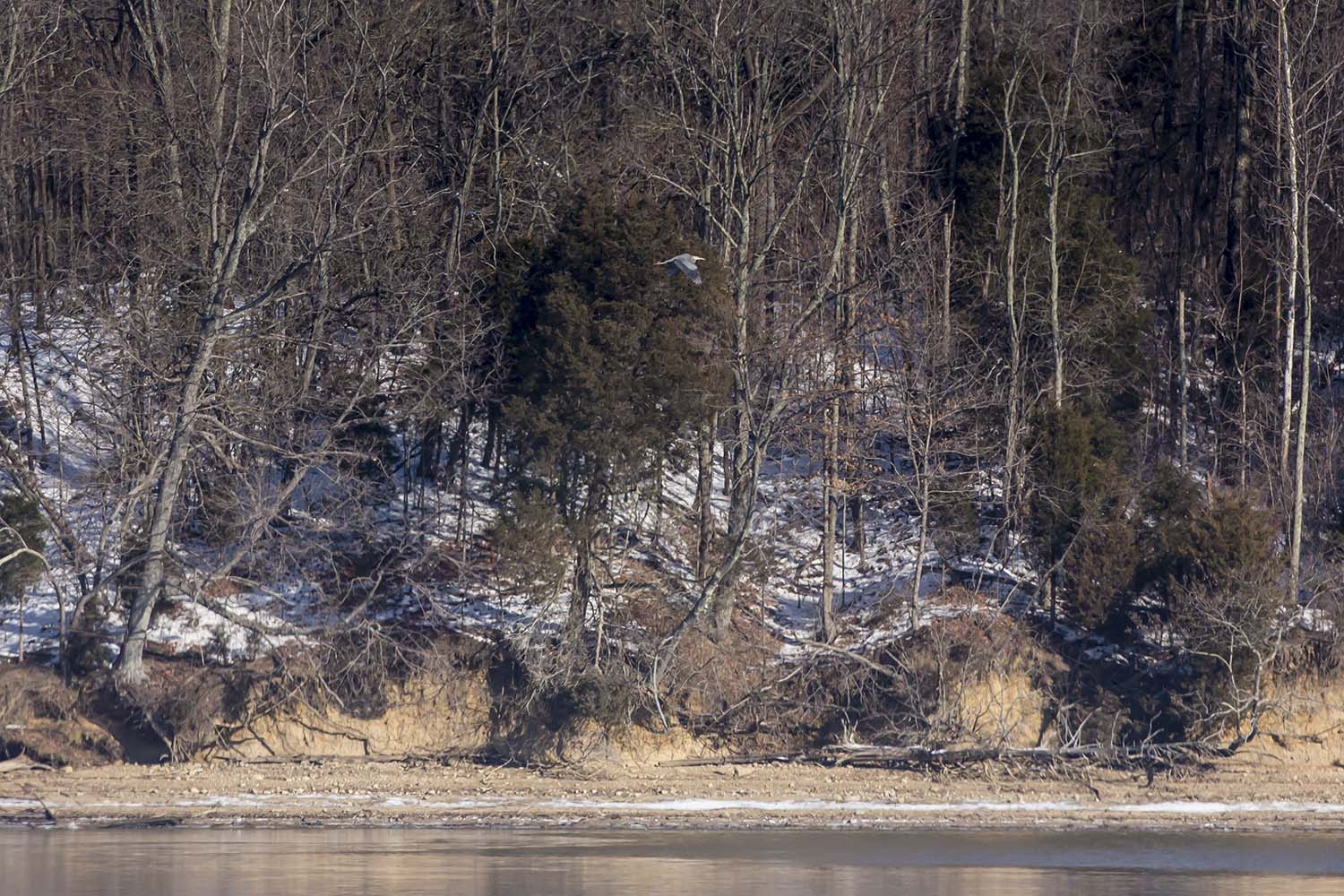
GREAT BLUE HERON

Jeff taking aim at his first pheasant

Caesar Creek sunset
Legacy 2011-066
Legacy 2011-071
roof buzzard be lurkin.

Cherry Bend Pheasant Farm - 12/26/11
Topographic Map of 12 S South St, Wilmington, OH, USA
Find elevation by address:

Places near 12 S South St, Wilmington, OH, USA:
Wilmington
521 E Locust St
Meadow Ridge Cir, Wilmington, OH, USA
Union Township
Clinton County
Clinton County
Wilmington Air Park
Ogden Rd, Wilmington, OH, USA
Antioch Rd, Wilmington, OH, USA
OH-73, Wilmington, OH, USA
Melvin Rd, Wilmington, OH, USA
25 New Burlington Rd, Wilmington, OH, USA
2nd St, Port William, OH, USA
Cherrybend Rd, Wilmington, OH, USA
Vernon Township
1499 Hiatt Rd
5124 Oh-350
Paintersville New Jasper Rd, Jamestown, OH, USA
Hussey Rd, Jamestown, OH, USA
120 Weller St
Recent Searches:
- Elevation of Corso Fratelli Cairoli, 35, Macerata MC, Italy
- Elevation of Tallevast Rd, Sarasota, FL, USA
- Elevation of 4th St E, Sonoma, CA, USA
- Elevation of Black Hollow Rd, Pennsdale, PA, USA
- Elevation of Oakland Ave, Williamsport, PA, USA
- Elevation of Pedrógão Grande, Portugal
- Elevation of Klee Dr, Martinsburg, WV, USA
- Elevation of Via Roma, Pieranica CR, Italy
- Elevation of Tavkvetili Mountain, Georgia
- Elevation of Hartfords Bluff Cir, Mt Pleasant, SC, USA