Elevation of 12 Rebeccas Landing, Plymouth, MA, USA
Location: United States > Massachusetts > Plymouth County > Plymouth >
Longitude: -70.586081
Latitude: 41.8811294
Elevation: 34m / 112feet
Barometric Pressure: 101KPa
Elevation Map:
Satellite Map:
Related Photos:

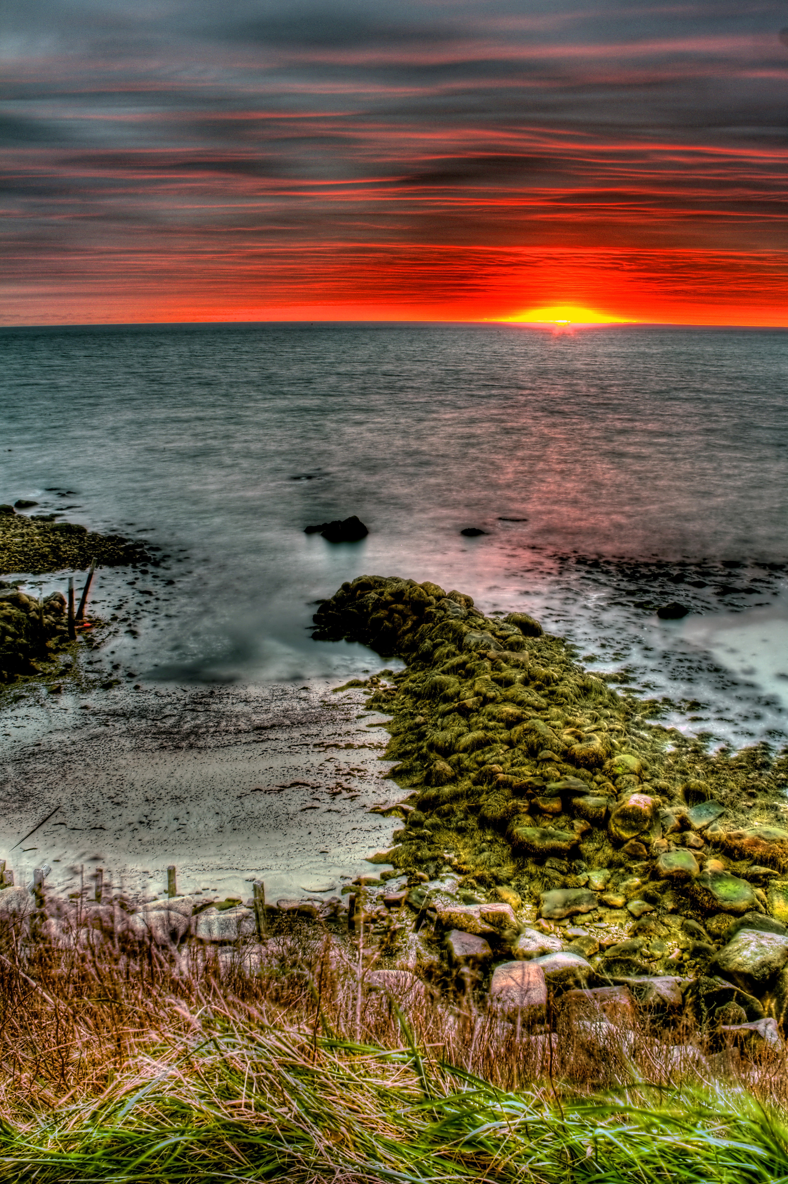
_RDX3935.jpg
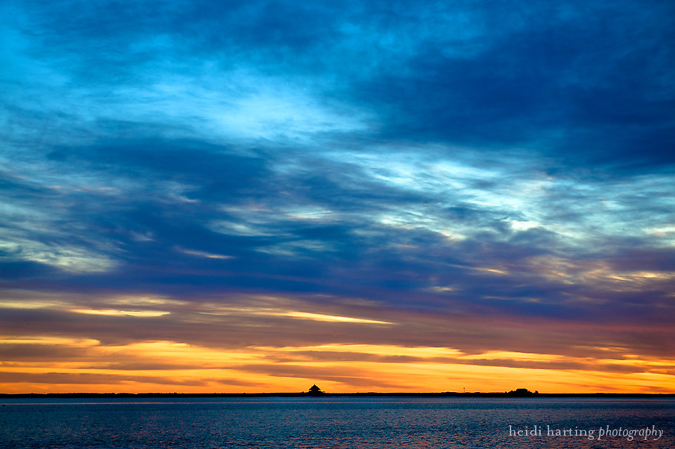
sunset | plymouth harbor
Makepeace Farms, Wareham

Scusset Beach Sunset

Stranger in a Strange Land

Sunset from Scusset Beach Jetty

Stormy Sunset

HMS Bounty / Mayflower II

Plymouth Harbor

Sunset at Scusset Beach
Duxbury Lighthouse

HMS Bounty

Scusset Beach Sunset

Walk to the Beach
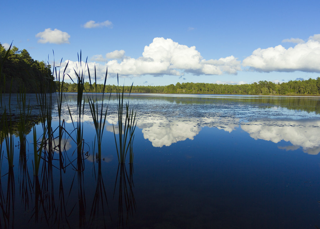
East Head Pond

Morning Glow

Red Light

National Monument to the Forefathers, Plymouth, MA - HDR

Snow aerodynamics
Manomet Point

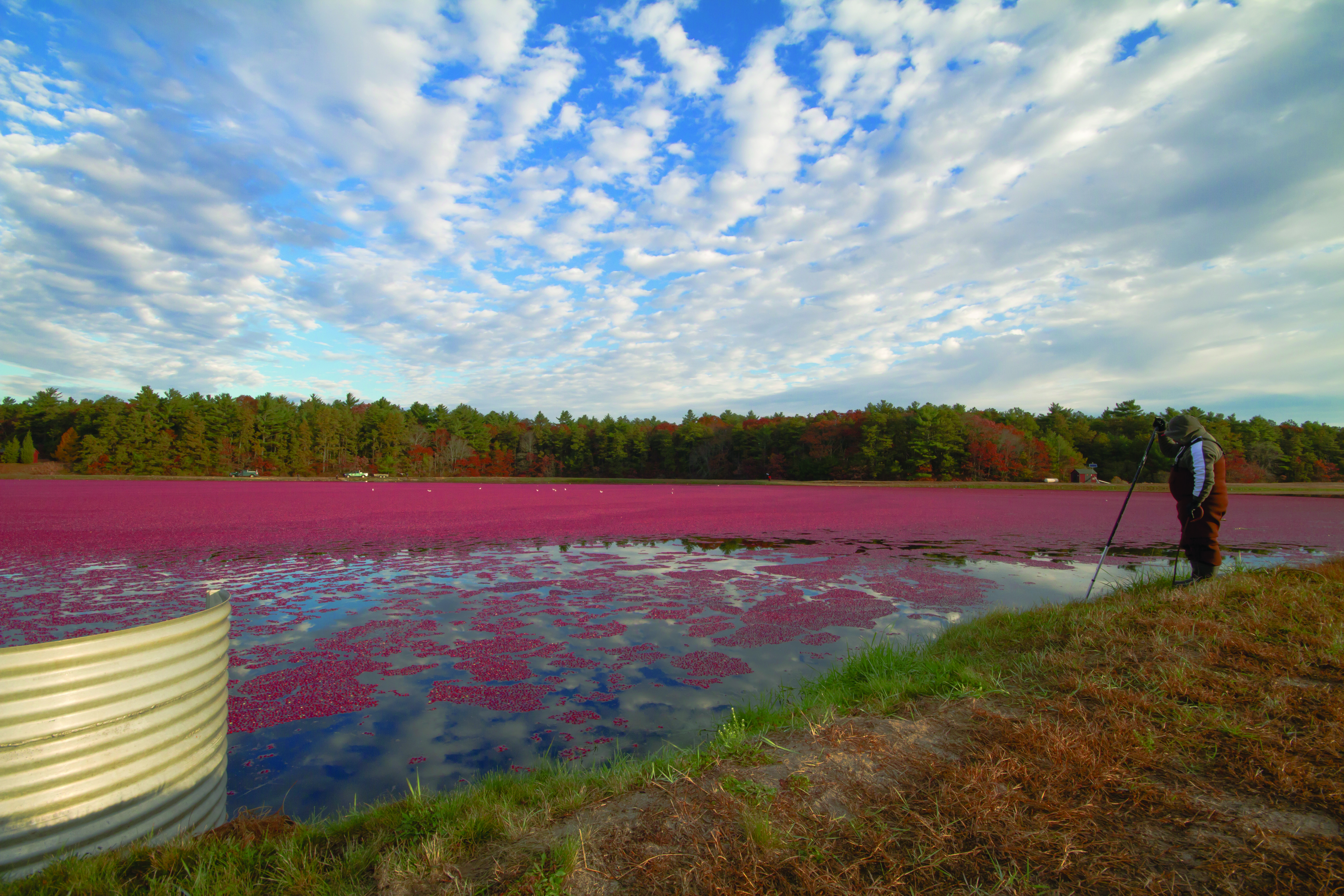
Cranberry harvesting #cranfest #cranberrybog #farm
Topographic Map of 12 Rebeccas Landing, Plymouth, MA, USA
Find elevation by address:

Places near 12 Rebeccas Landing, Plymouth, MA, USA:
14 Red Canoe
48 Champlain Cir
Stones Throw
Wayside Path
Ludlow Trail
Ludlow Trail
Ludlow Trail
Tilley Crescent
Winslowe's View
Prower Landing
Rigsdale Way
Minter Court
Pelham Walk
44 Abigails Path
Kate's Glen
Fletcher Reach'
Benjamin's Gate
Henloe Green
West Trevor Hill
Holbeck Corner
Recent Searches:
- Elevation of Water Bird Wy, Punta Gorda, FL, USA
- Elevation of Teiskontie 8, Tampere, Finland
- Elevation of Pacific View Dr, Malibu, CA, USA
- Elevation of Thorpe Cir, Thousand Oaks, CA, USA
- Elevation of Eldorado do Sul - RS, Brazil
- Elevation of Eldorado do Sul - Parque Eldorado, Eldorado do Sul - RS, -, Brazil
- Elevation of 35 Governors Ln, Hilton Head Island, SC, USA
- Elevation of Orangevale, CA, USA
- Elevation of Doe Cir, Clinton, OH, USA
- Elevation of Narhe, Pune, Maharashtra, India