Elevation of Zirubi, Zimbabwe
Location: Zimbabwe > Midlands Province >
Longitude: 30.2819444
Latitude: -20.481944
Elevation: 929m / 3048feet
Barometric Pressure: 91KPa
Elevation Map:
Satellite Map:
Related Photos:
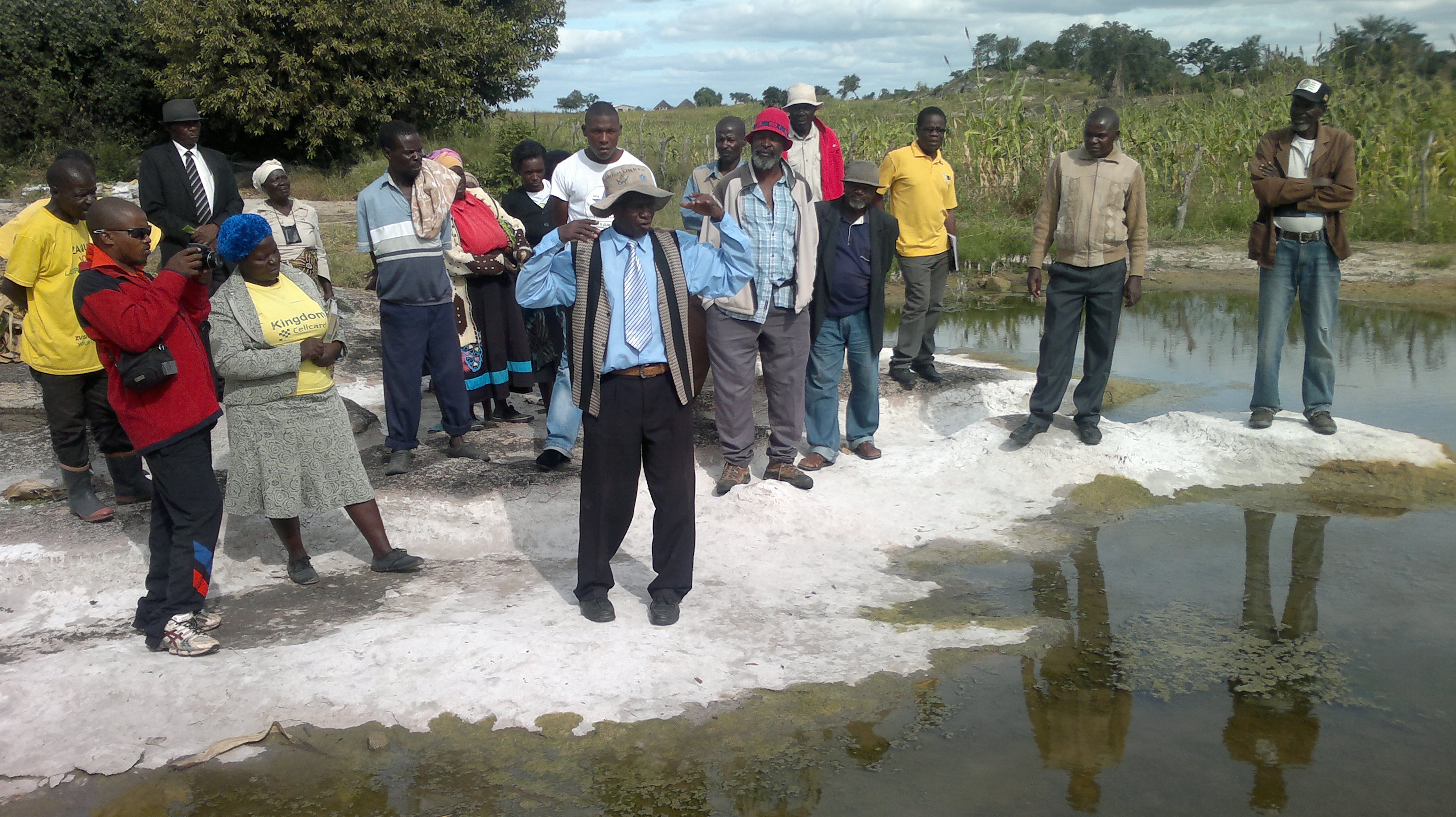
Members of the Hupenyu Ivhu Farmer Innovators Group use their farms as demonstration sites
Topographic Map of Zirubi, Zimbabwe
Find elevation by address:

Places near Zirubi, Zimbabwe:
Recent Searches:
- Elevation of Corso Fratelli Cairoli, 35, Macerata MC, Italy
- Elevation of Tallevast Rd, Sarasota, FL, USA
- Elevation of 4th St E, Sonoma, CA, USA
- Elevation of Black Hollow Rd, Pennsdale, PA, USA
- Elevation of Oakland Ave, Williamsport, PA, USA
- Elevation of Pedrógão Grande, Portugal
- Elevation of Klee Dr, Martinsburg, WV, USA
- Elevation of Via Roma, Pieranica CR, Italy
- Elevation of Tavkvetili Mountain, Georgia
- Elevation of Hartfords Bluff Cir, Mt Pleasant, SC, USA