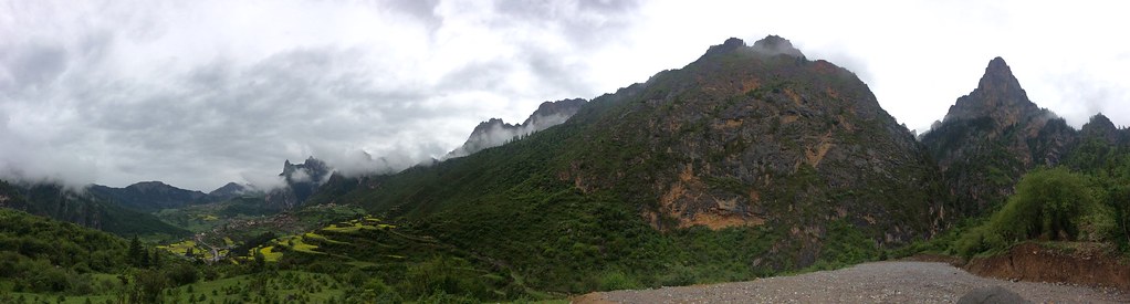
Elevation of Zhagana, Têwo County, Gannan Tibetan Autonomous Prefecture, Gansu, China
Location: China > Gansu > Gannan >
Longitude: 103.192922
Latitude: 34.238149
Elevation: 2912m / 9554feet
Barometric Pressure: 71KPa
Elevation Map:
Satellite Map:
Related Photos:

山在天边

甘肅南部:扎朵那

石头宫殿

峰峰相依

a-5134

银壁如镜

0609札嘎那 (6)
四川:札朵那
Topographic Map of Zhagana, Têwo County, Gannan Tibetan Autonomous Prefecture, Gansu, China
Find elevation by address:

Places near Zhagana, Têwo County, Gannan Tibetan Autonomous Prefecture, Gansu, China:
Recent Searches:
- Elevation of Corso Fratelli Cairoli, 35, Macerata MC, Italy
- Elevation of Tallevast Rd, Sarasota, FL, USA
- Elevation of 4th St E, Sonoma, CA, USA
- Elevation of Black Hollow Rd, Pennsdale, PA, USA
- Elevation of Oakland Ave, Williamsport, PA, USA
- Elevation of Pedrógão Grande, Portugal
- Elevation of Klee Dr, Martinsburg, WV, USA
- Elevation of Via Roma, Pieranica CR, Italy
- Elevation of Tavkvetili Mountain, Georgia
- Elevation of Hartfords Bluff Cir, Mt Pleasant, SC, USA