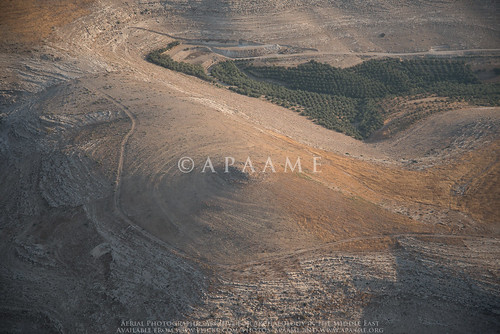
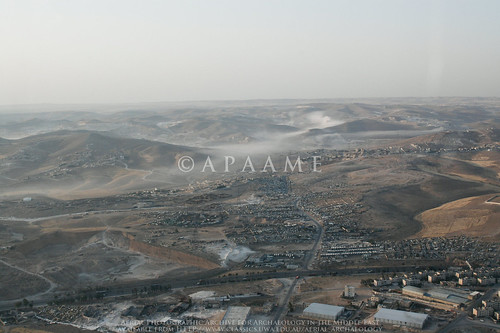
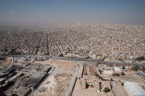
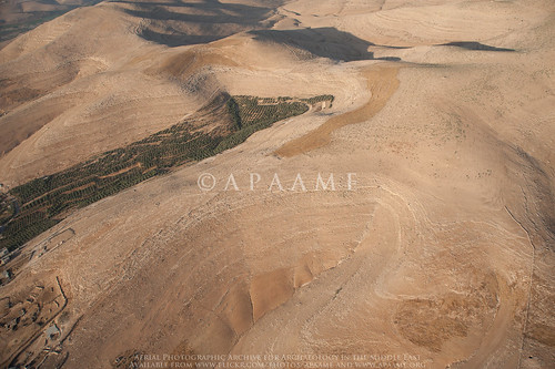
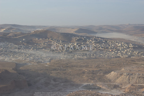
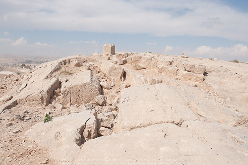
Elevation of Zarqa Qasabah District, Zarqa, Jordan
Location: Jordan > Zarqa Governorate >
Longitude: 36.1545404
Latitude: 32.0475714
Elevation: 618m / 2028feet
Barometric Pressure: 94KPa
Related Photos:
Topographic Map of Zarqa Qasabah District, Zarqa, Jordan
Find elevation by address:

Places near Zarqa Qasabah District, Zarqa, Jordan:
Madinat Al-sharq
Zarqa Governorate
Az-zarqa
Hashemite - Blue
Ma'asom
Royal Celebrations
Ashkelon Elementary School For Girls
Al Basatin
Al Zawahrah
Hashemiyah District
Al Ahmad
Abu Alia
Tabarbour
Tareq
Abu Nseir
Al Basalah
Abu Nsair Shopping Center
Queen Rania Street
Al Tla'a Al Shamali
Tlaa Alali Hospital
Recent Searches:
- Elevation of Corso Fratelli Cairoli, 35, Macerata MC, Italy
- Elevation of Tallevast Rd, Sarasota, FL, USA
- Elevation of 4th St E, Sonoma, CA, USA
- Elevation of Black Hollow Rd, Pennsdale, PA, USA
- Elevation of Oakland Ave, Williamsport, PA, USA
- Elevation of Pedrógão Grande, Portugal
- Elevation of Klee Dr, Martinsburg, WV, USA
- Elevation of Via Roma, Pieranica CR, Italy
- Elevation of Tavkvetili Mountain, Georgia
- Elevation of Hartfords Bluff Cir, Mt Pleasant, SC, USA

