Elevation of Zaria, Nigeria
Location: Nigeria >
Longitude: 7.7199454
Latitude: 11.0855409
Elevation: 640m / 2100feet
Barometric Pressure: 94KPa
Elevation Map:
Satellite Map:
Related Photos:

Kugu

Rice Harvest

The Tree

Morning at the Dam

Morning at the Dam

Foggy Morning

Early Morning at the Dam

Kufena Hill

Early Morning at the Dam

Morning at the Dam

ABU Dam

The Pepper Hill

Drying Hot Cilli Pepper

Sun Dried Chili Peppers

Soybean Farmer

Galma Dam

Drying Red Cilli Pepper

Drying Chili

Alhaji Saleh

Erosion Landscape
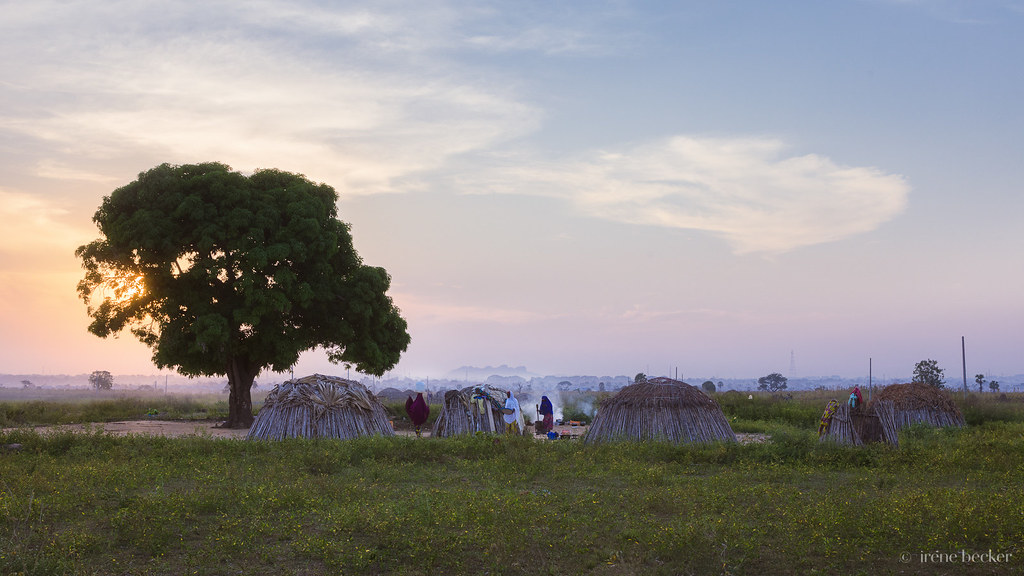
Fulani Village

Kufena Village
Topographic Map of Zaria, Nigeria
Find elevation by address:

Places near Zaria, Nigeria:
Recent Searches:
- Elevation of Corso Fratelli Cairoli, 35, Macerata MC, Italy
- Elevation of Tallevast Rd, Sarasota, FL, USA
- Elevation of 4th St E, Sonoma, CA, USA
- Elevation of Black Hollow Rd, Pennsdale, PA, USA
- Elevation of Oakland Ave, Williamsport, PA, USA
- Elevation of Pedrógão Grande, Portugal
- Elevation of Klee Dr, Martinsburg, WV, USA
- Elevation of Via Roma, Pieranica CR, Italy
- Elevation of Tavkvetili Mountain, Georgia
- Elevation of Hartfords Bluff Cir, Mt Pleasant, SC, USA