Elevation of Zapata County, TX, USA
Location: United States > Texas >
Longitude: -99.101349
Latitude: 26.9730763
Elevation: 117m / 384feet
Barometric Pressure: 100KPa
Elevation Map:
Satellite Map:
Related Photos:
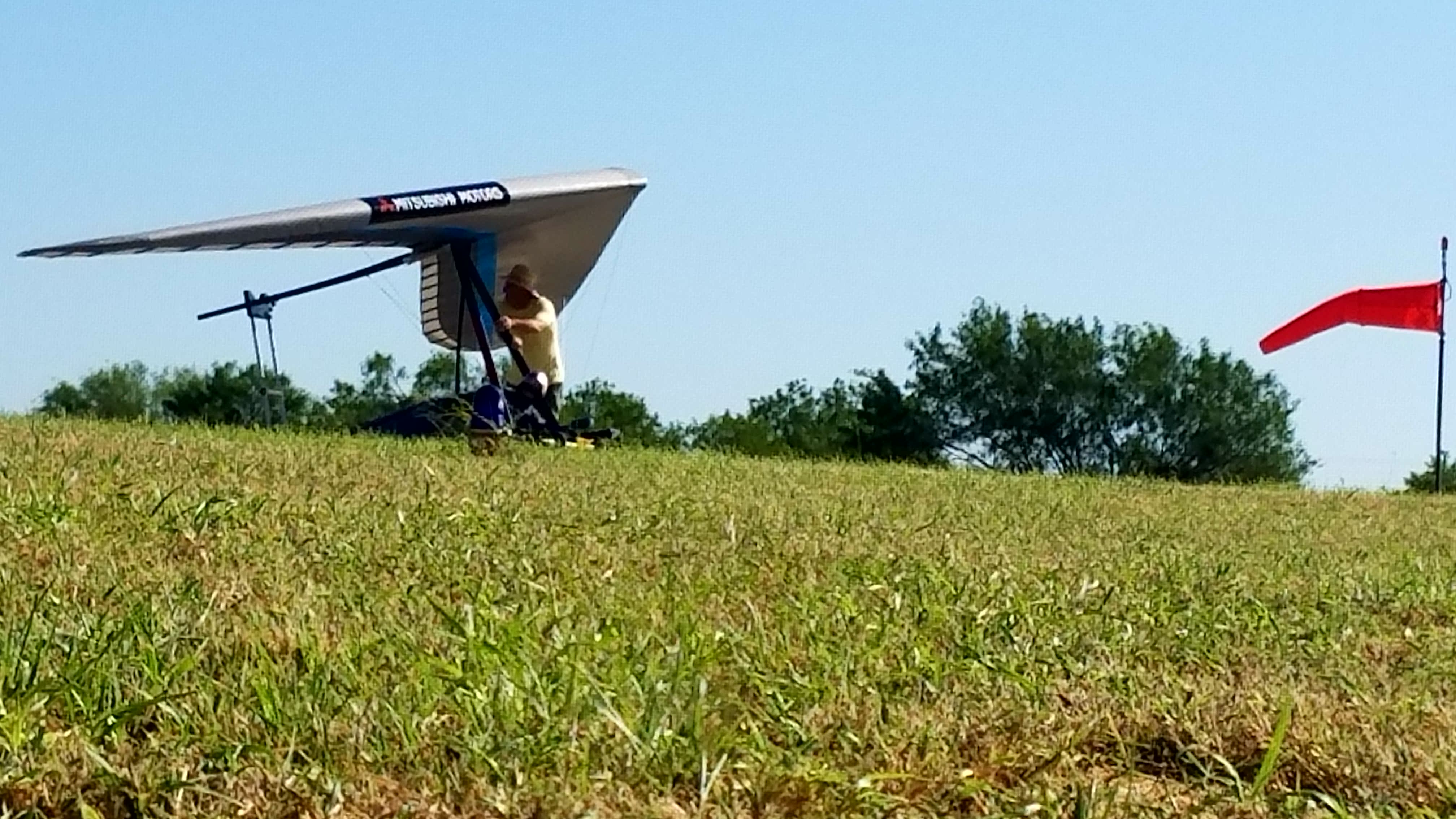
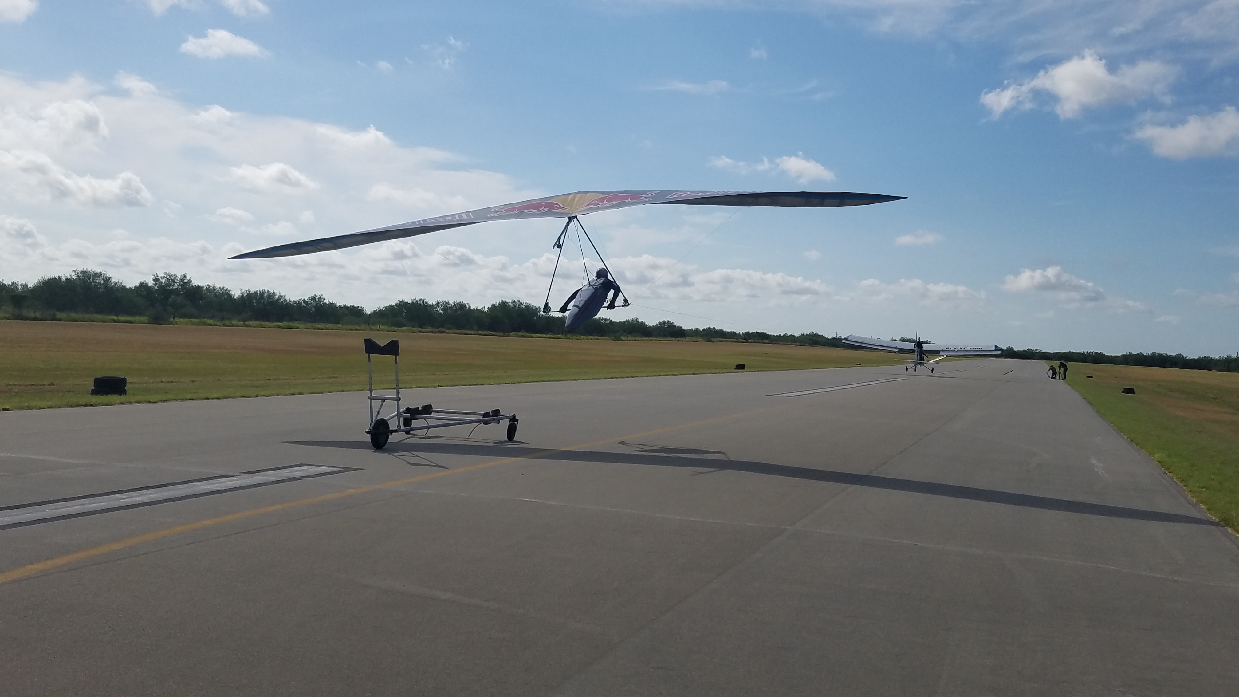
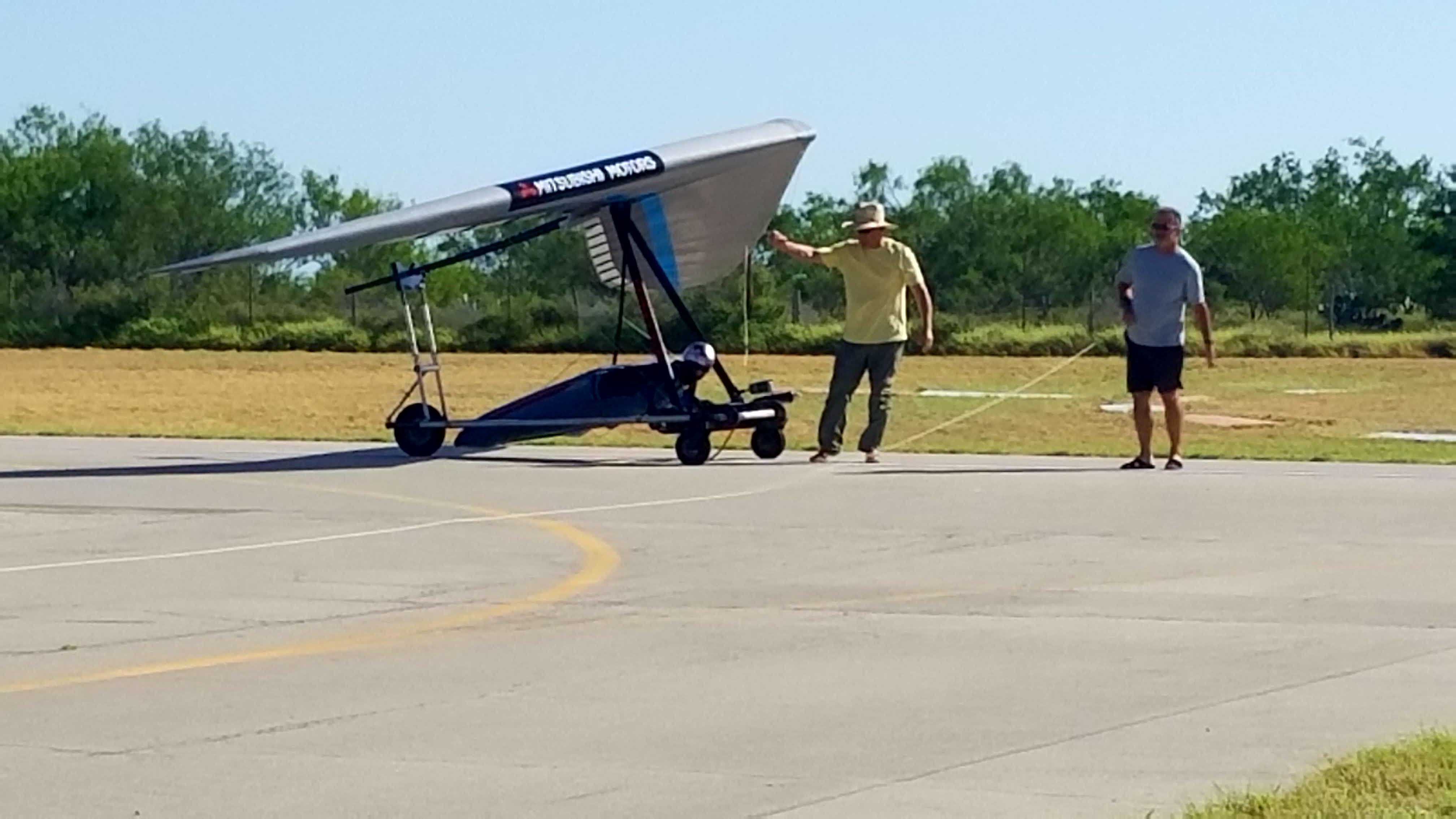
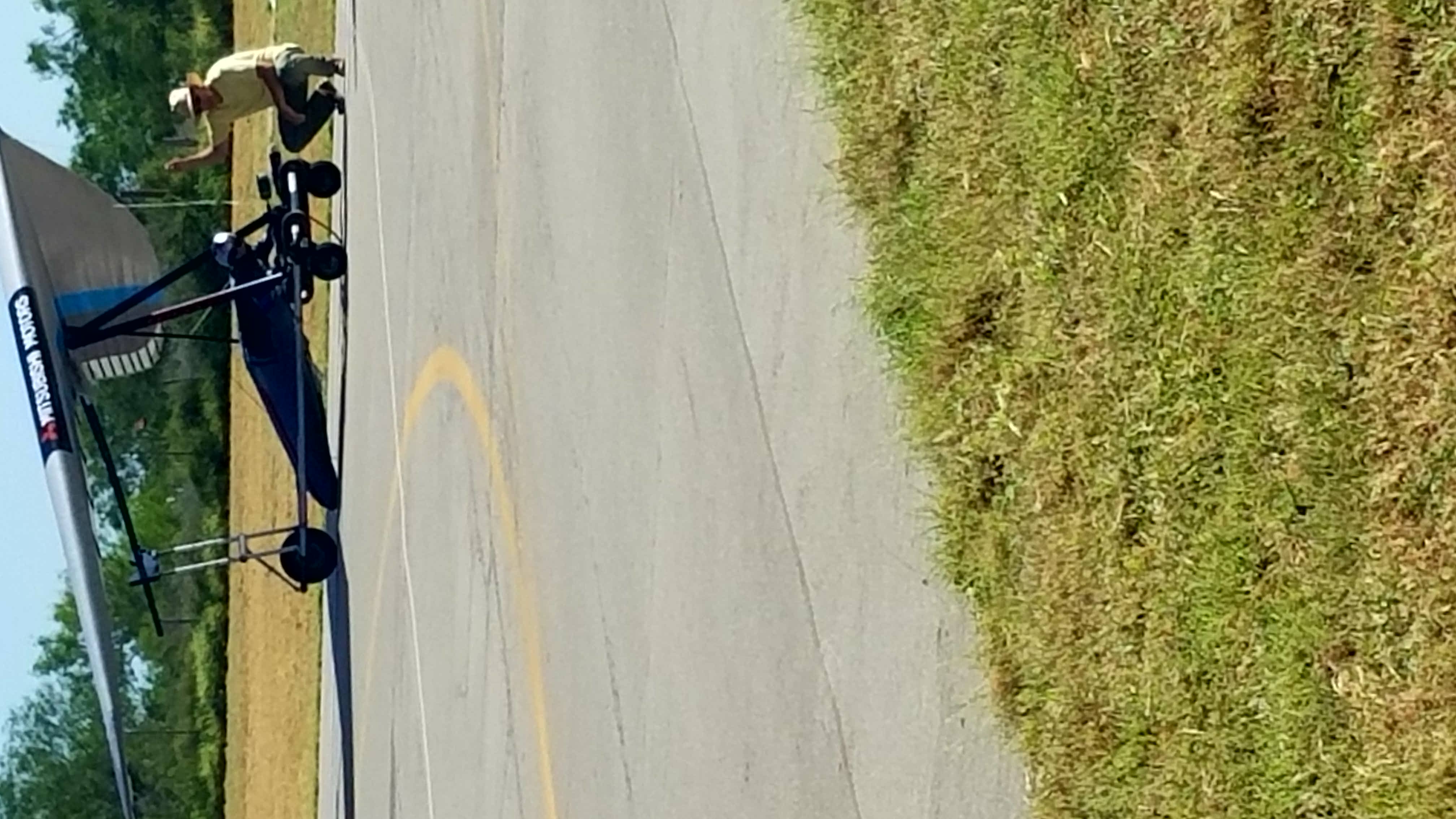
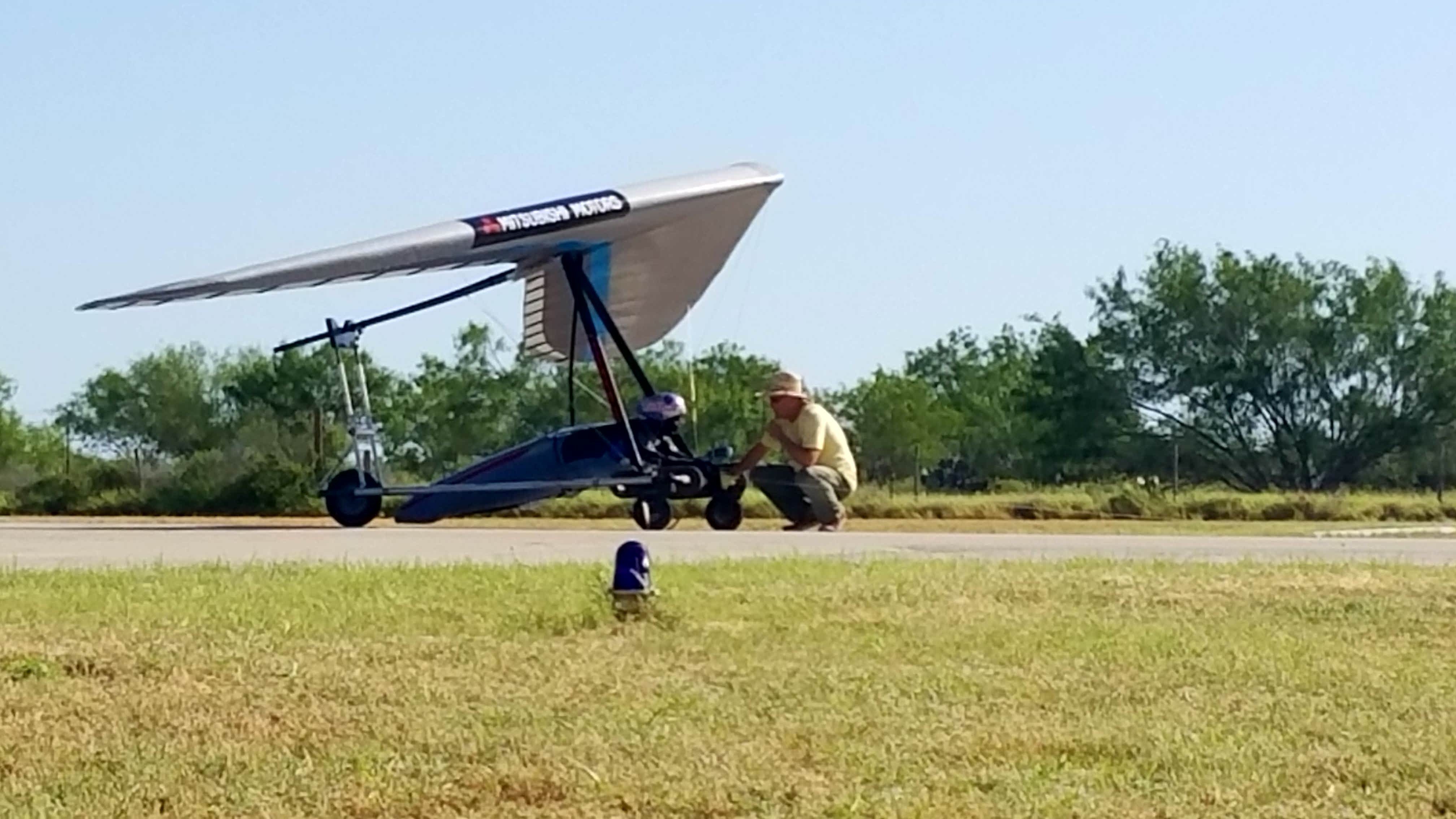
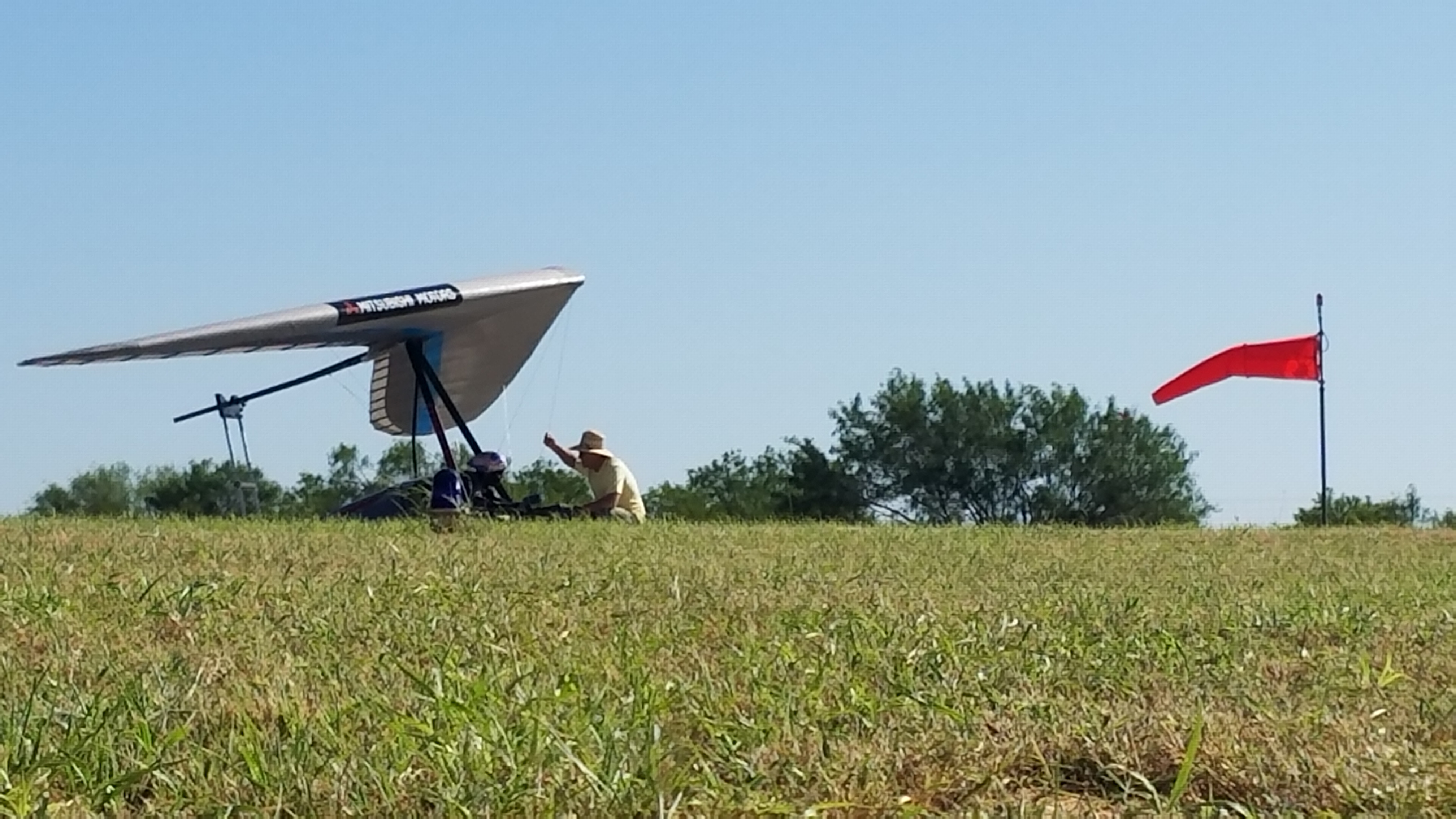
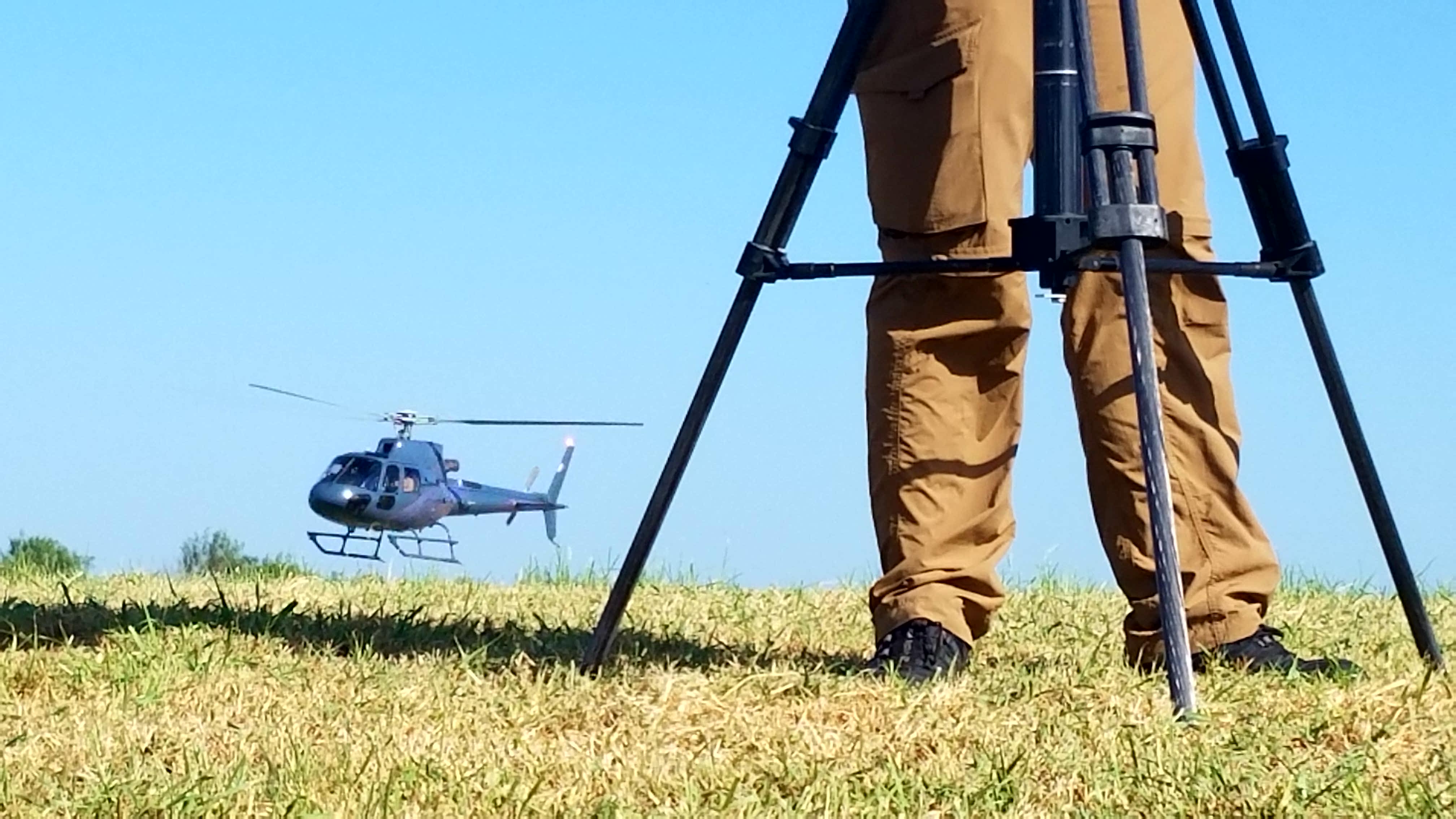
Hang Gliding World Record Attempt Jonny Durand Zapata, Texas

Hang Gliding World Record Attempt Jonny Durand Zapata, Texas
hang gliding

hang gliding
hang gliding

hang gliding
hang gliding
hang gliding
hang gliding

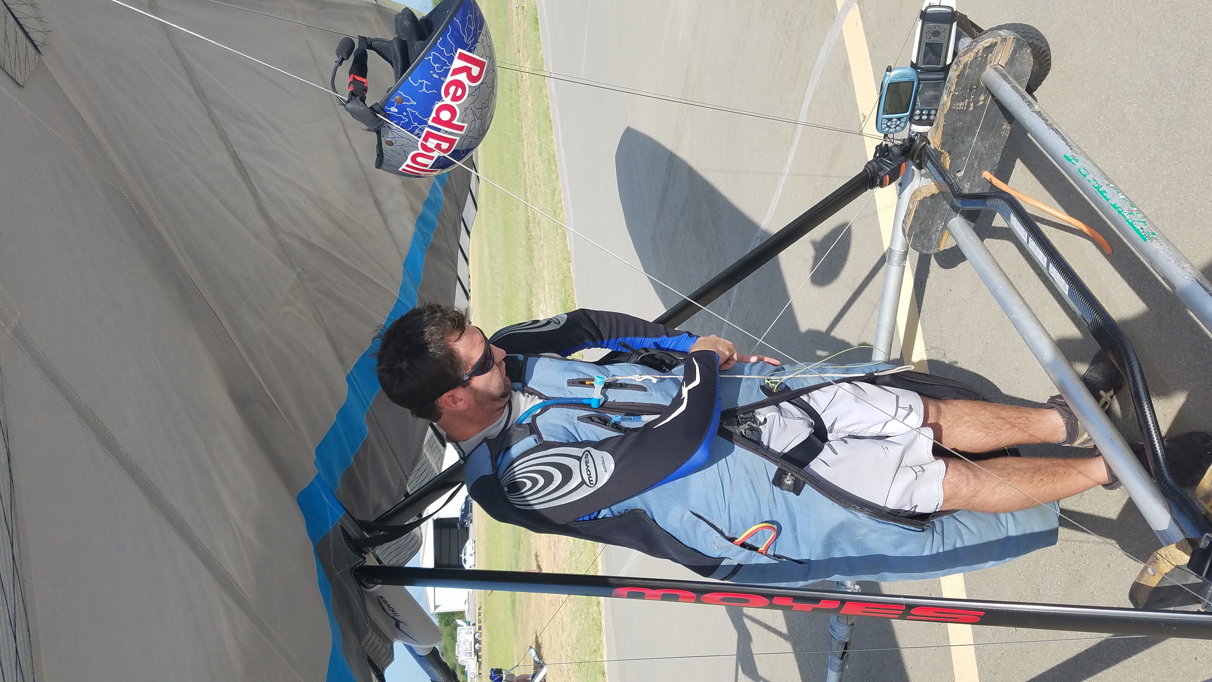
Jonny Durand

2016-06-22_09-54-22
2016-06-22_09-53-49

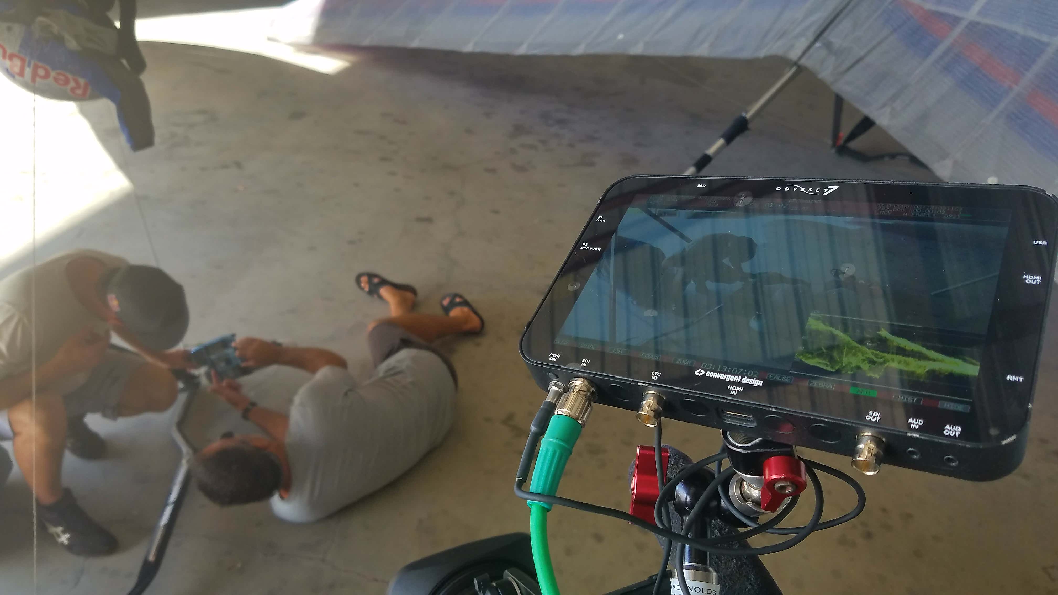
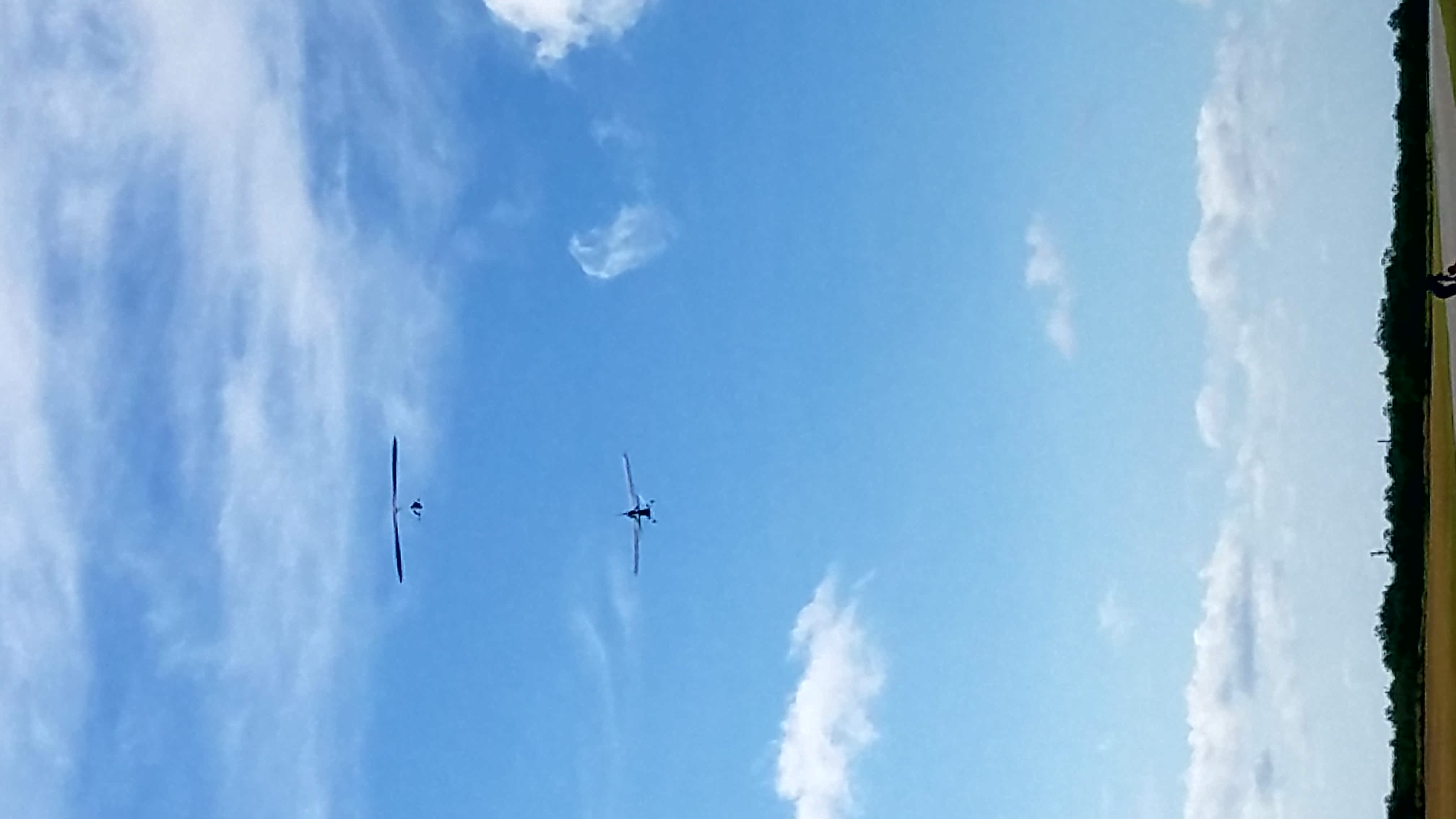
Hang Gliding World Record Attempt Jonny Durand Zapata, Texas

Hang Gliding World Record Attempt Jonny Durand Zapata, Texas

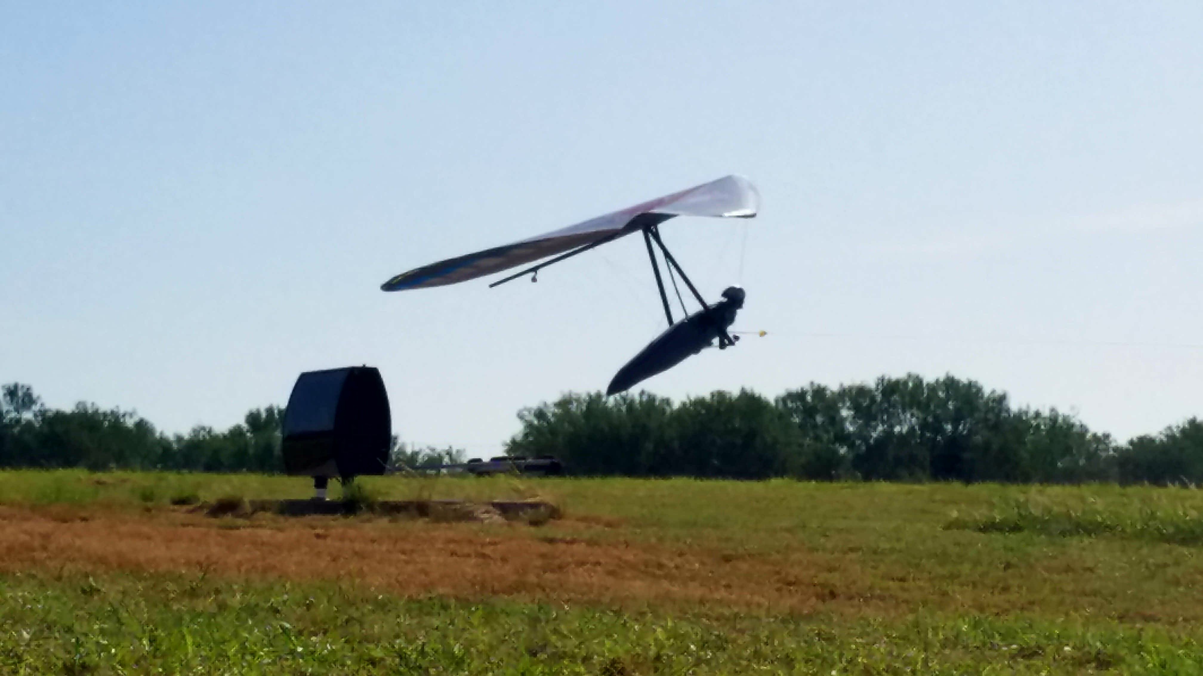
Hang Gliding World Record Attempt Jonny Durand Zapata, Texas

Hang Gliding World Record Attempt Jonny Durand Zapata, Texas
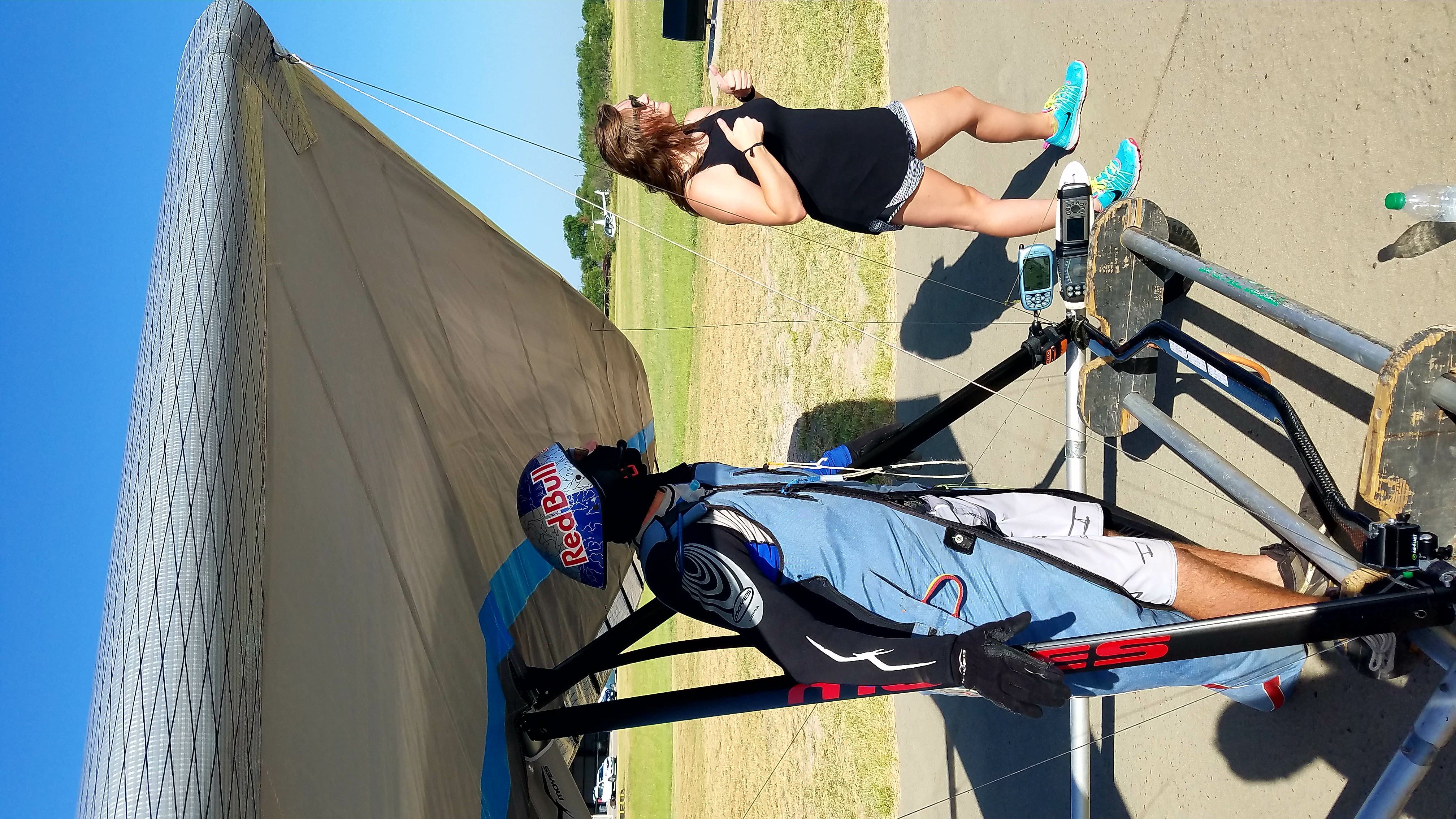
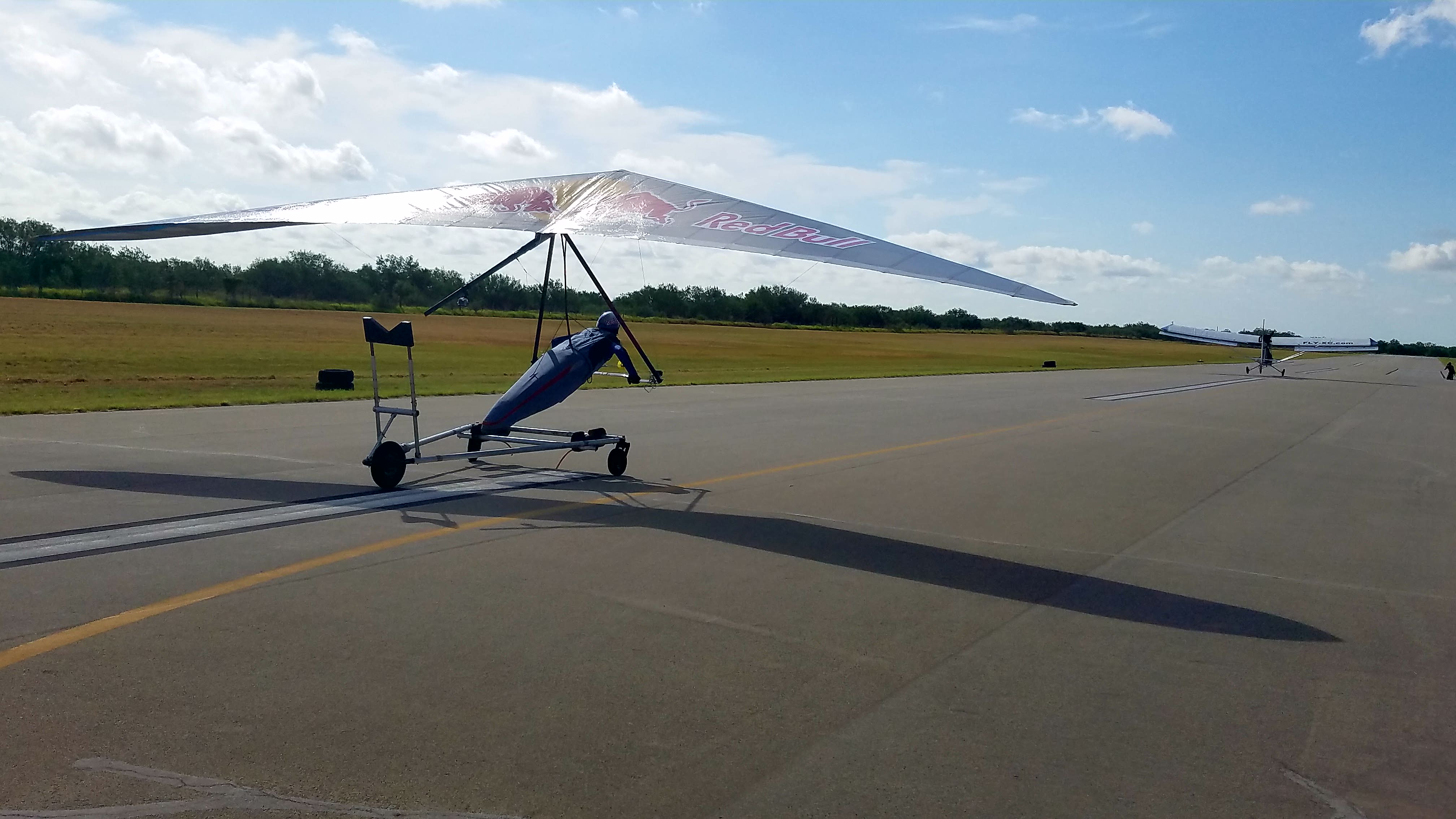
Hang Gliding World Record Attempt Jonny Durand Zapata, Texas
Hang Gliding World Record Attempt Jonny Durand Zapata, Texas
Hang Gliding World Record Attempt Jonny Durand Zapata, Texas
Hang Gliding World Record Attempt Jonny Durand Zapata, Texas
Hang Gliding World Record Attempt Jonny Durand Zapata, Texas
Hang Gliding World Record Attempt Jonny Durand Zapata, Texas
Topographic Map of Zapata County, TX, USA
Find elevation by address:

Places in Zapata County, TX, USA:
Places near Zapata County, TX, USA:
297 Jennings Ranch Rd
297 Jennings Ranch Rd
297 Jennings Ranch Rd
Escobas
Lozano Rd, Zapata, TX, USA
Zapata
US-83, Zapata, TX, USA
US-83, Zapata, TX, USA
Falcon Mesa
Sunshine Lane
300 Lakeview Dr
147 Palm Pl
Guerra
280 San Roman Rd
280 San Roman Rd
San Ygnacio
Jim Hogg County
Mirando City
Po Box, Mirando City, TX, USA
Bruni
Recent Searches:
- Elevation of Corso Fratelli Cairoli, 35, Macerata MC, Italy
- Elevation of Tallevast Rd, Sarasota, FL, USA
- Elevation of 4th St E, Sonoma, CA, USA
- Elevation of Black Hollow Rd, Pennsdale, PA, USA
- Elevation of Oakland Ave, Williamsport, PA, USA
- Elevation of Pedrógão Grande, Portugal
- Elevation of Klee Dr, Martinsburg, WV, USA
- Elevation of Via Roma, Pieranica CR, Italy
- Elevation of Tavkvetili Mountain, Georgia
- Elevation of Hartfords Bluff Cir, Mt Pleasant, SC, USA