Elevation of Záboří, 11 Protivín, Czech Republic
Location: Czech Republic > South Bohemian Region > Písek District > Protivín >
Longitude: 14.253354
Latitude: 49.169954
Elevation: 413m / 1355feet
Barometric Pressure: 96KPa
Elevation Map:
Satellite Map:
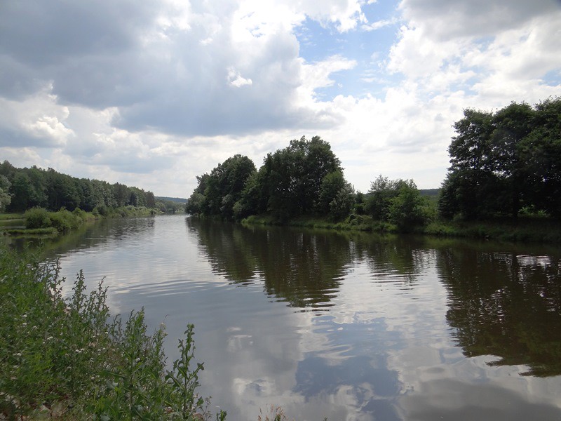
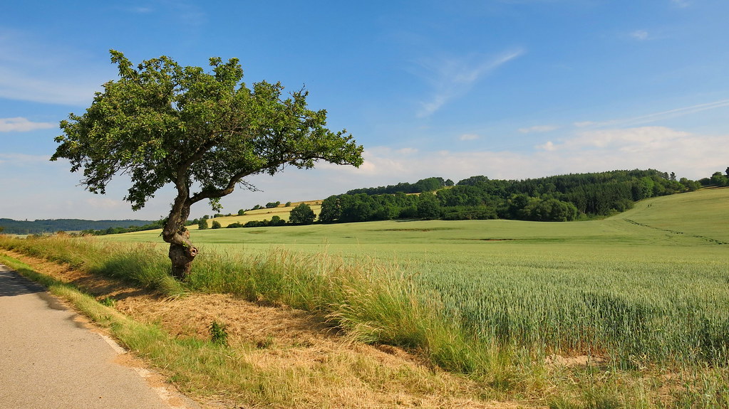
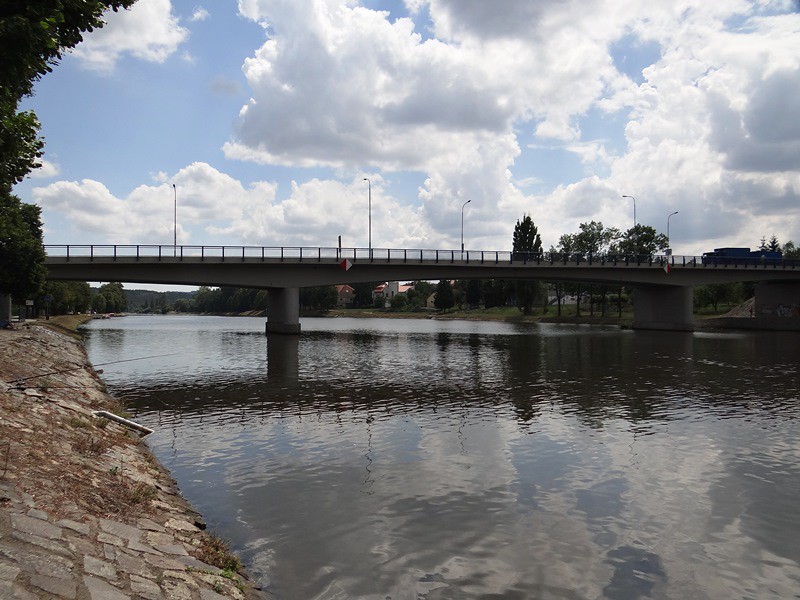
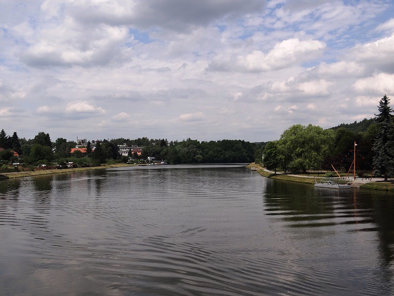
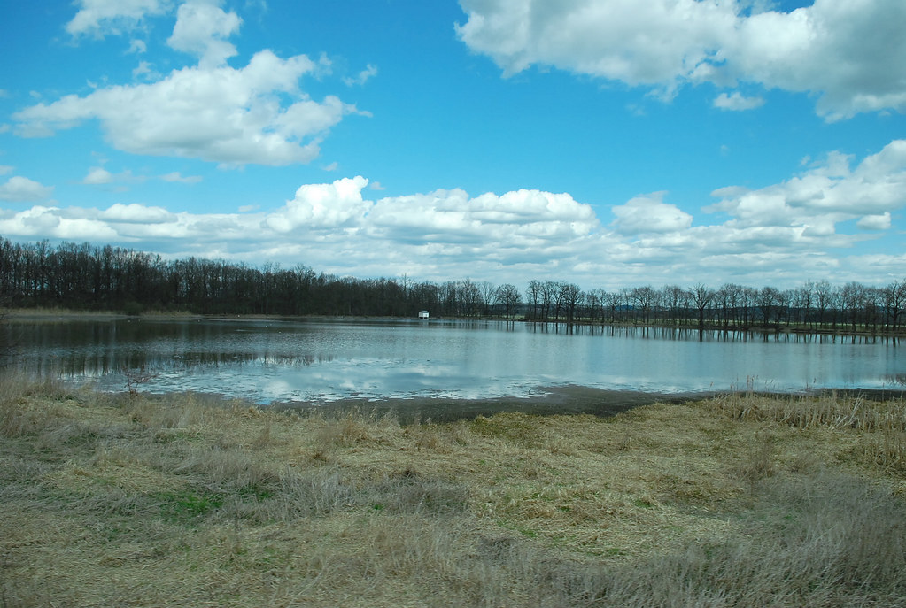
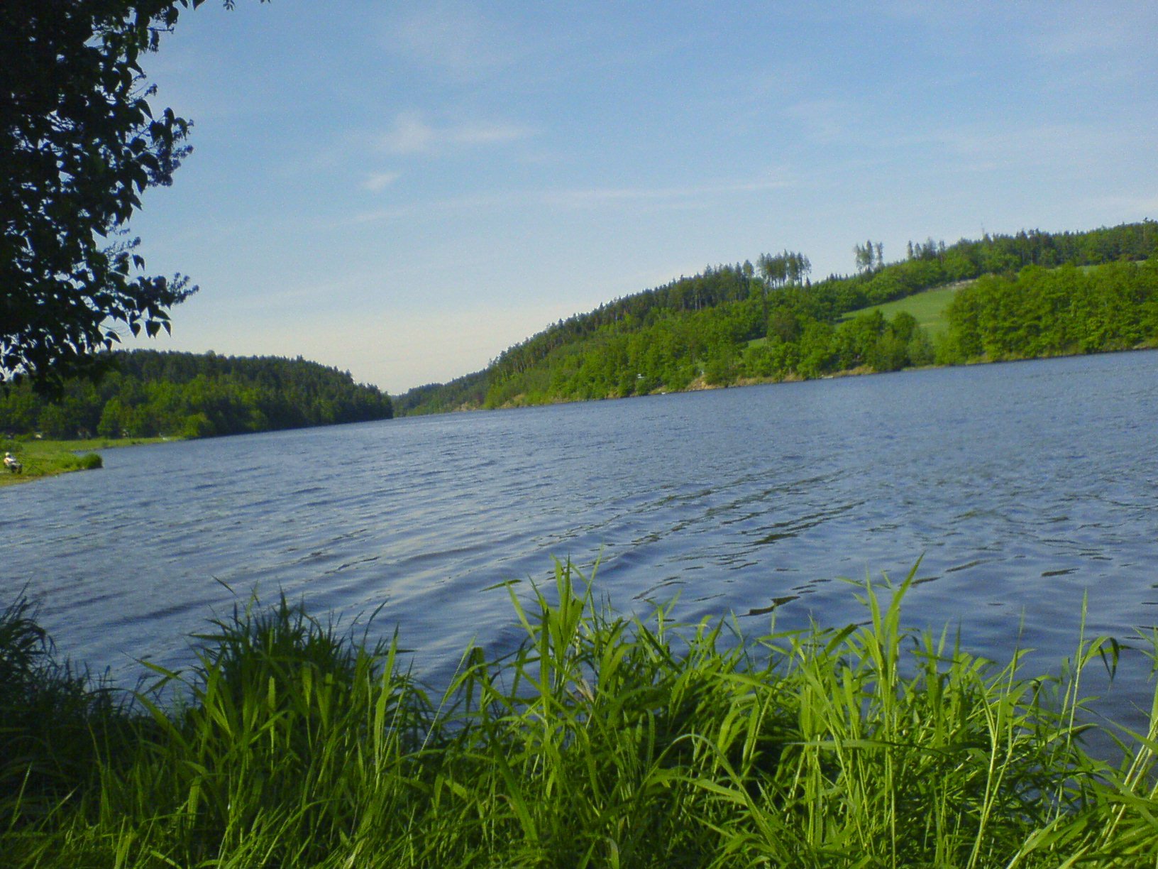
Related Photos:

Sometimes I love the view from my window

LKSR Strunkovice - na konci dráhy

Heaven's Eye
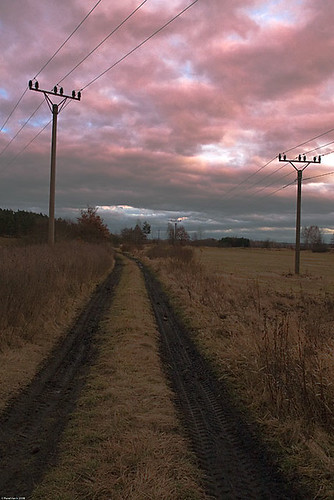
Field path sunset
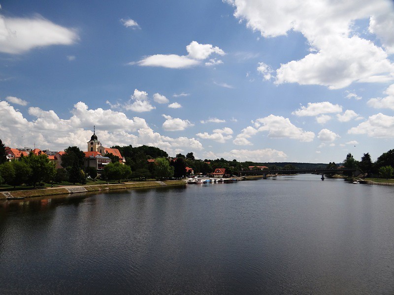
Písek - Ceské Budejovice
Údraž
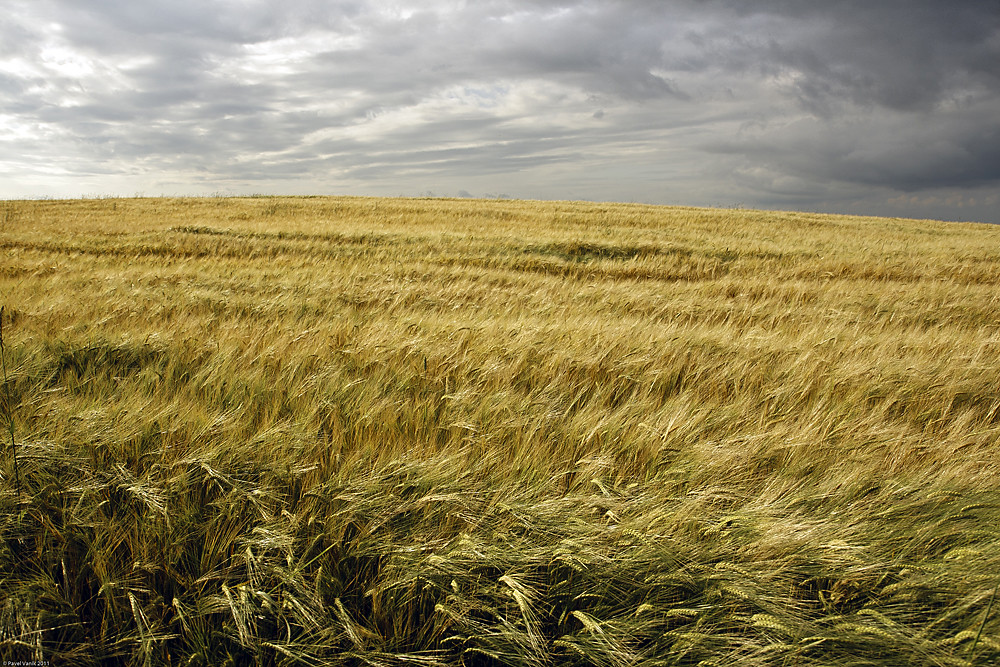
Before the storm

25 Mydlák labutě 001
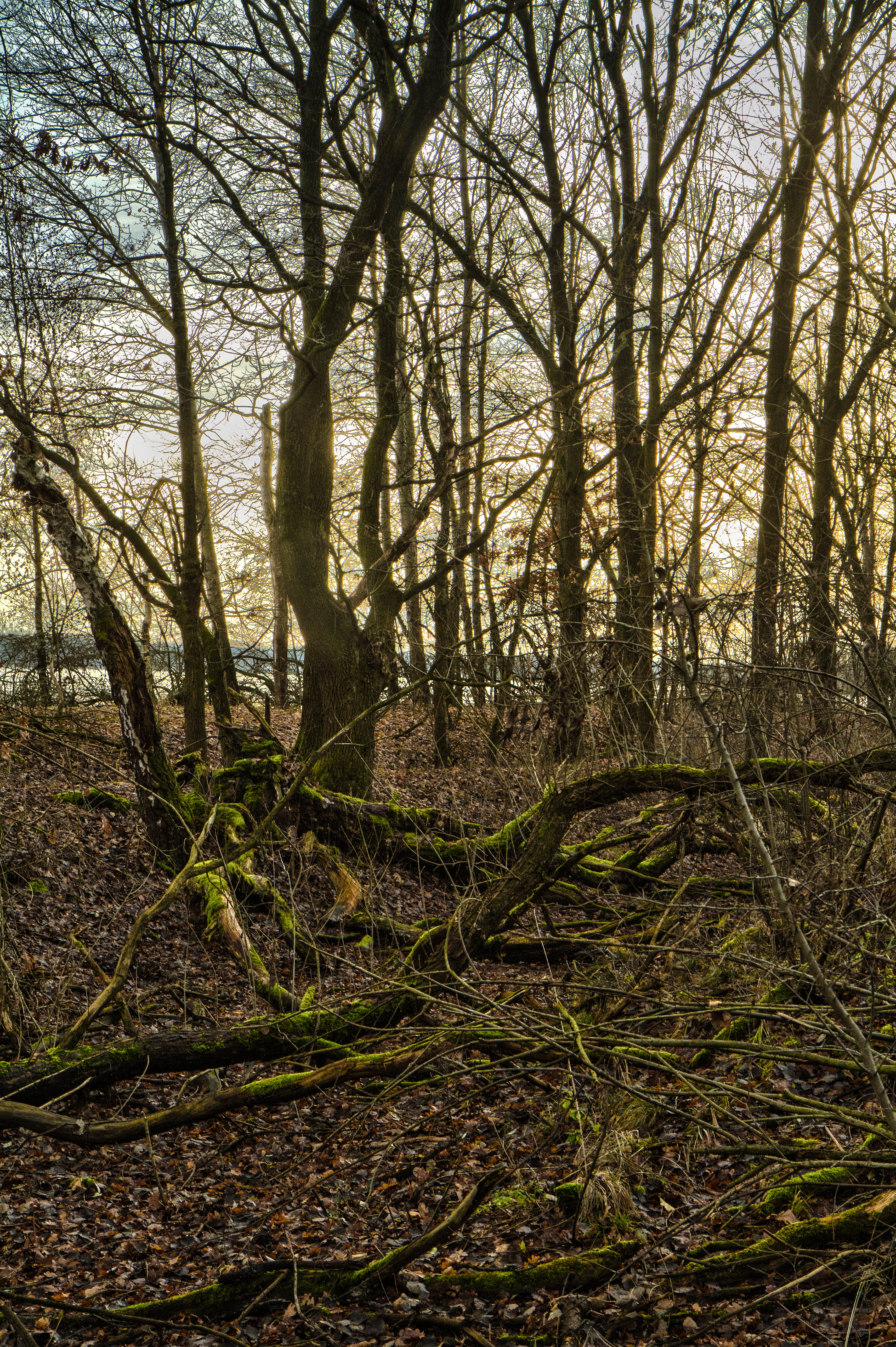
Prosincove slunce v lese
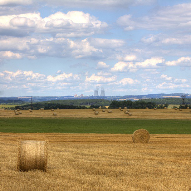
Mraky jak ze simpsnů - atom elektrárna je tam taky... Jen bárt nikde.... #nature #hdr_czech #hdr #editmaniacz #igerscz #HDR_PICS
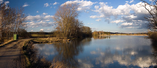
By the pond

Temelín
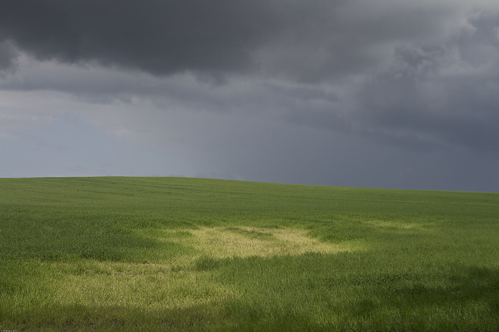
Before the storm
Písek - Ceské Budejovice
kudy tudy do Bavorova
Písek - Ceské Budejovice
Písek - Ceské Budejovice
庫倫諾夫 to 瑪麗安司凱:沿路的天氣還不錯~
Water dam in Purkarec in the Czech Republic

準備前往溫泉鄉:瑪麗安司凱

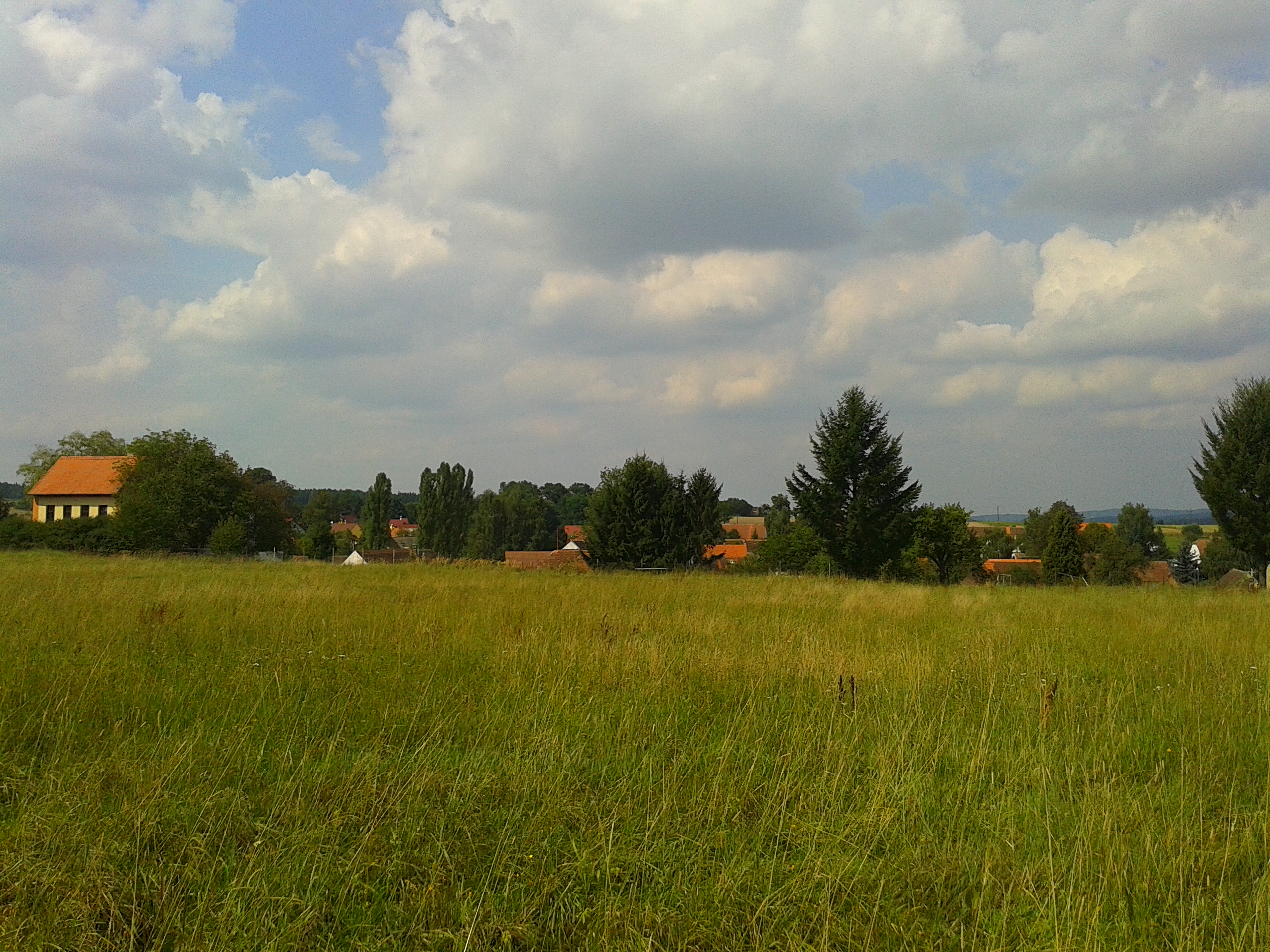
Yellow meadow

Údraž
Topographic Map of Záboří, 11 Protivín, Czech Republic
Find elevation by address:

Places in Záboří, 11 Protivín, Czech Republic:
Places near Záboří, 11 Protivín, Czech Republic:
Záboří 84, 11 Protivín, Czech Republic
Chvalešovice 41, 01 Dříteň, Czech Republic
Protivín
Chvalešovice
Staromostecká, Vodňany II, 01 Vodňany, Czech Republic
Temelín 27, 01 Temelín, Czech Republic
Vodňany Ii
Vodňany
Dříteň
Temelín
Hlavatce
Hlavatce 37, 48 Hlavatce, Czech Republic
Všemyslice
Skály, 11 Skály, Czech Republic
Zvěřetice 3, 11 Babice, Czech Republic
Zvěřetice
Babice
Tupesy 25, 41 Radošovice, Czech Republic
Tupesy
Radošovice
Recent Searches:
- Elevation of Corso Fratelli Cairoli, 35, Macerata MC, Italy
- Elevation of Tallevast Rd, Sarasota, FL, USA
- Elevation of 4th St E, Sonoma, CA, USA
- Elevation of Black Hollow Rd, Pennsdale, PA, USA
- Elevation of Oakland Ave, Williamsport, PA, USA
- Elevation of Pedrógão Grande, Portugal
- Elevation of Klee Dr, Martinsburg, WV, USA
- Elevation of Via Roma, Pieranica CR, Italy
- Elevation of Tavkvetili Mountain, Georgia
- Elevation of Hartfords Bluff Cir, Mt Pleasant, SC, USA