Elevation of Yutakamachikubi, Kure-shi, Hiroshima-ken -, Japan
Location: Japan > Hiroshima Prefecture > Kure >
Longitude: 132.828129
Latitude: 34.1772088
Elevation: 23m / 75feet
Barometric Pressure: 101KPa
Elevation Map:
Satellite Map:
Related Photos:
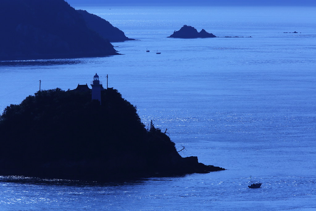
Nishiseto Expressway Panorama
From Below
night view

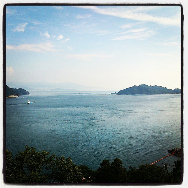
View Over Seto Island Sea
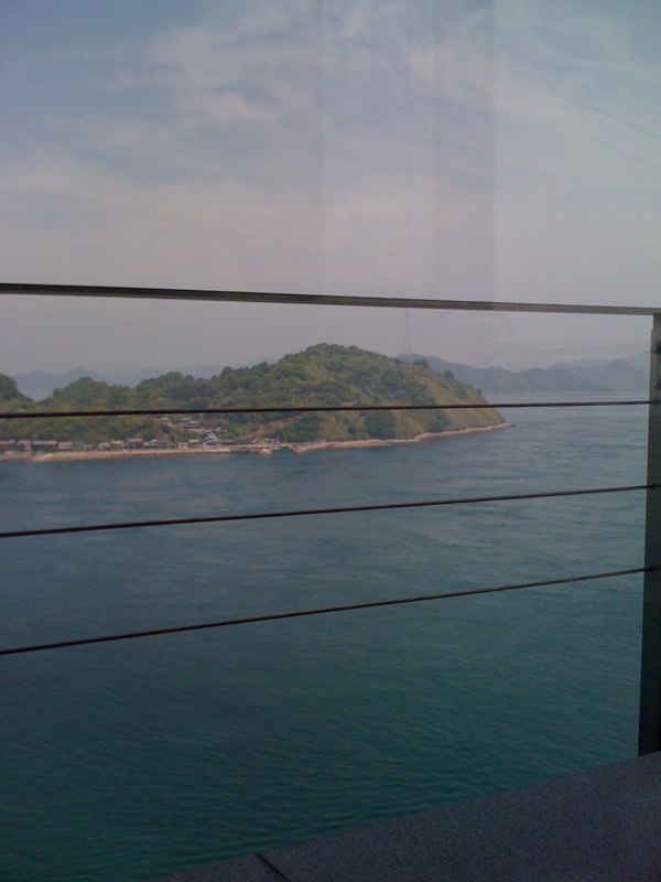
View from Mt. Kattomine
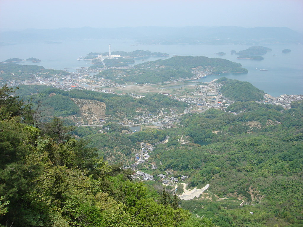
View from Mt. Kattomine
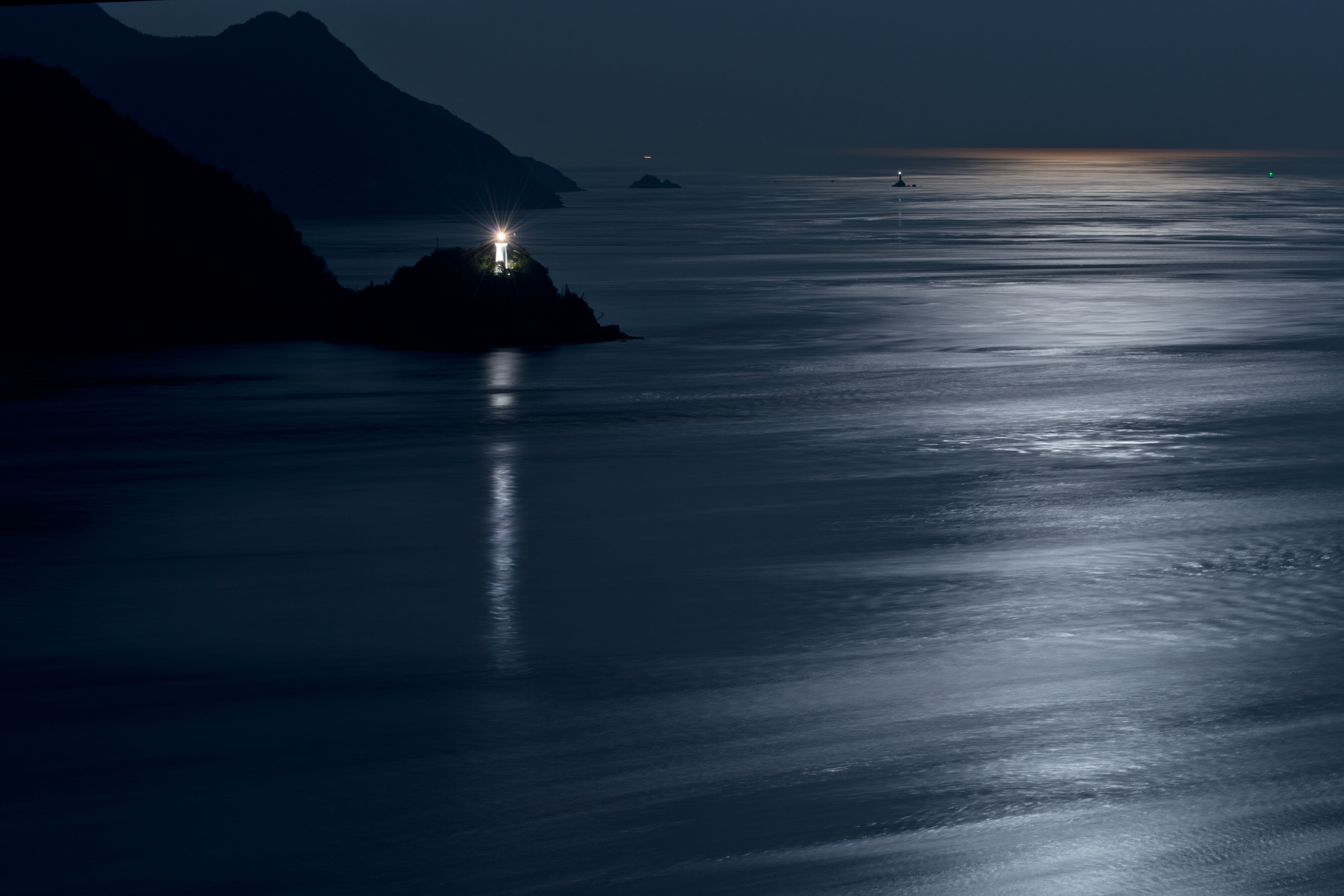
Moonlight swaying
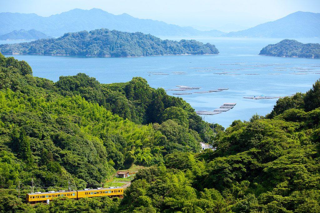
Seaside Trip

Hill Overlooking History Park
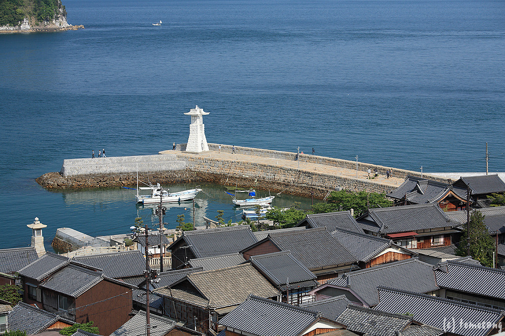
Hill Overlooking History Park

Early Morning

沈みゆく太陽

太陽をいだく

黄砂で霞み過ぎ(^^;;
Early morning

野外活動中#1

Moonlight swaying

From My Window
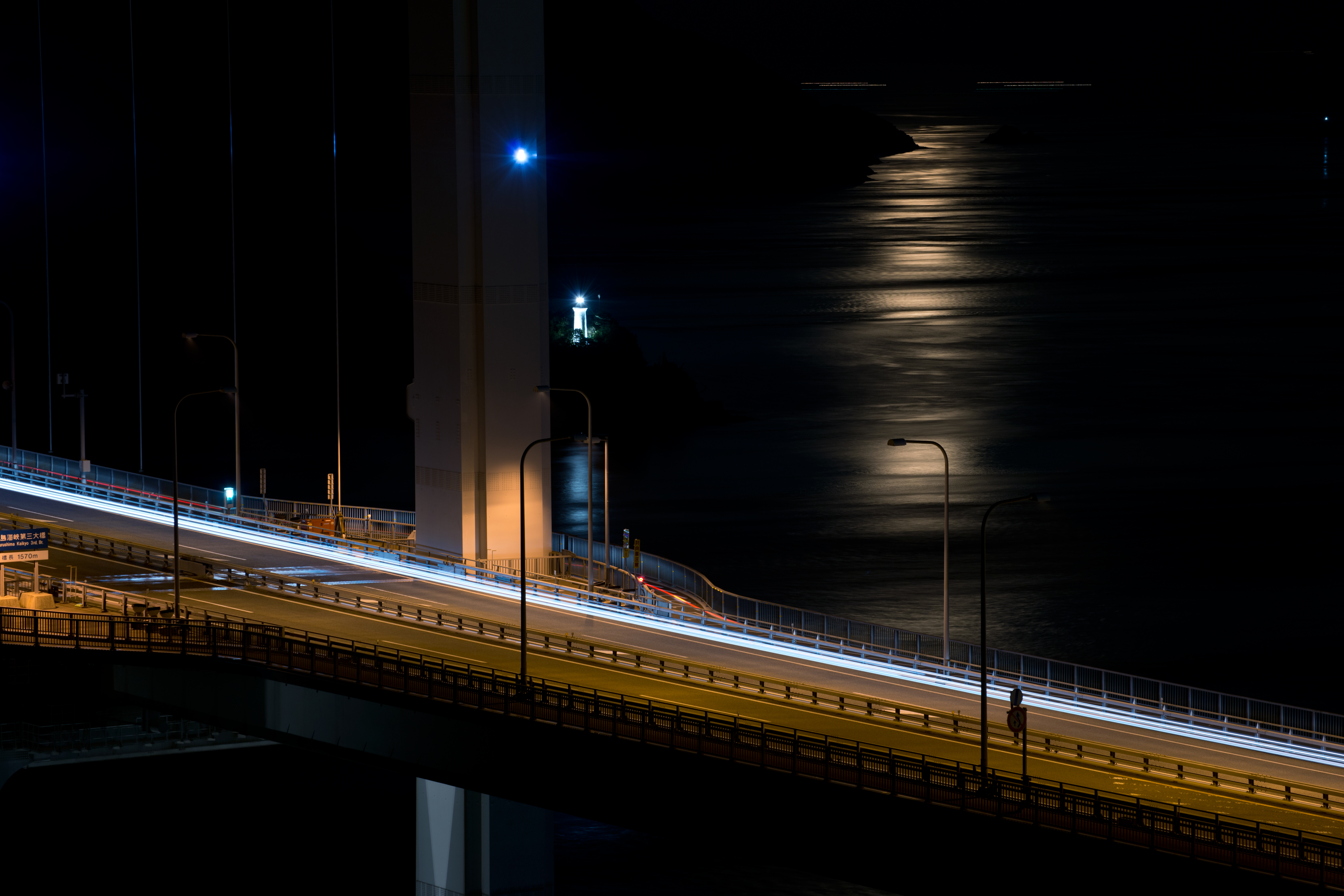
Night rider on Bridge and moonlight
大好きすぎる、瀬戸内海!
大潮荘

Hulk the lonely old man.

もうすぐ夜明け♪( ´▽`)
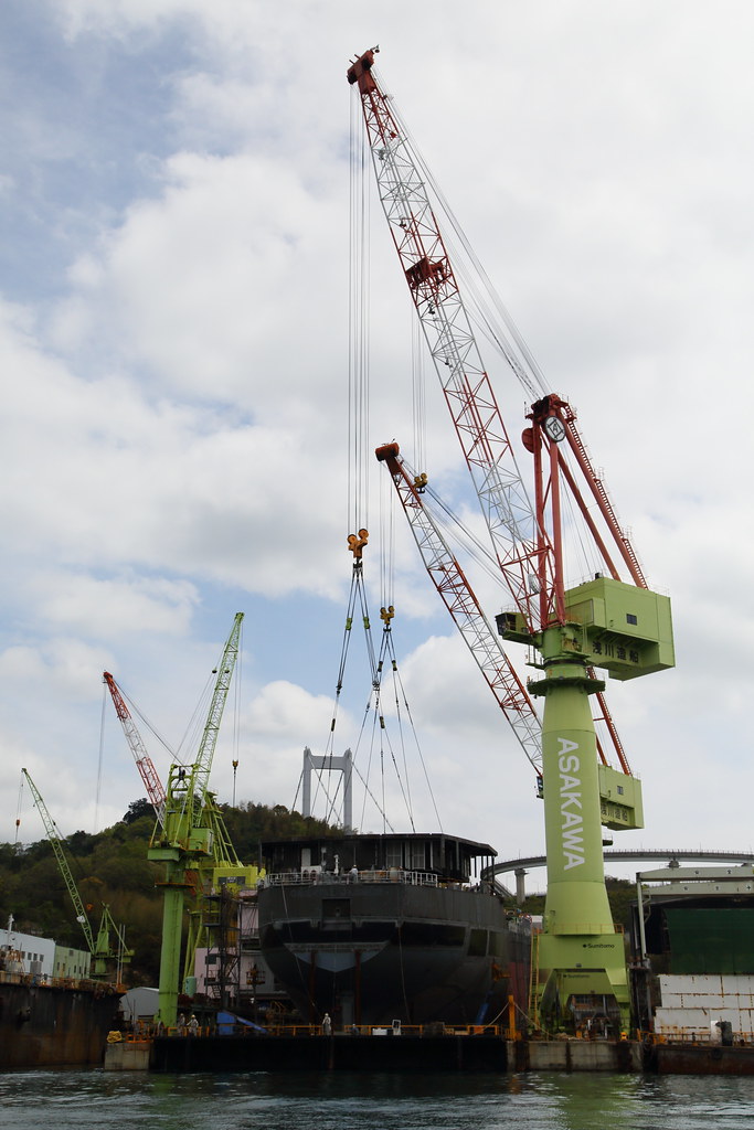
Under construction
カメラロール-140
瀬戸内の夕陽
inland sea japan
Topographic Map of Yutakamachikubi, Kure-shi, Hiroshima-ken -, Japan
Find elevation by address:

Places near Yutakamachikubi, Kure-shi, Hiroshima-ken -, Japan:
10 Akashi, Ōsakikamijima-chō, Toyota-gun, Hiroshima-ken -, Japan
Sekizenokamura, Imabari-shi, Ehime-ken -, Japan
Ōkushi, Ōsakikamijima-chō, Toyota-gun, Hiroshima-ken -, Japan
Sekizenkooge, Imabari-shi, Ehime-ken -, Japan
Toyota District
Okiura, Ōsakikamijima-chō, Toyota-gun, Hiroshima-ken -, Japan
Akitsuchō Kazahaya, Higashihiroshima-shi, Hiroshima-ken -, Japan
Sekizenōge, Imabari-shi, Ehime-ken -, Japan
Kinoe, Ōsakikamijima-chō, Toyota-gun, Hiroshima-ken -, Japan
Kamagarichō Tado, Kure-shi, Hiroshima-ken -, Japan
Higashino, Ōsakikamijima-chō, Toyota-gun, Hiroshima-ken -, Japan
Akitsuchō Kidani, Higashihiroshima-shi, Hiroshima-ken -, Japan
-41 Akitsuchō Kazahaya, Higashihiroshima-shi, Hiroshima-ken -, Japan
Osakikamijima
Toyo Ito Museum Of Architecture
Kojima-35 Kurushima, Imabari-shi, Ehime-ken -, Japan
-1 Aijima, Matsuyama-shi, Ehime-ken -, Japan
Shimokamagarichō Shimojima, Kure-shi, Hiroshima-ken -, Japan
Takeharachō, Takehara-shi, Hiroshima-ken -, Japan
-1 Asanamihara, Matsuyama-shi, Ehime-ken -, Japan
Recent Searches:
- Elevation of Corso Fratelli Cairoli, 35, Macerata MC, Italy
- Elevation of Tallevast Rd, Sarasota, FL, USA
- Elevation of 4th St E, Sonoma, CA, USA
- Elevation of Black Hollow Rd, Pennsdale, PA, USA
- Elevation of Oakland Ave, Williamsport, PA, USA
- Elevation of Pedrógão Grande, Portugal
- Elevation of Klee Dr, Martinsburg, WV, USA
- Elevation of Via Roma, Pieranica CR, Italy
- Elevation of Tavkvetili Mountain, Georgia
- Elevation of Hartfords Bluff Cir, Mt Pleasant, SC, USA