Elevation of Yunomae, Kuma District, Kumamoto Prefecture, Japan
Location: Japan > Kumamoto Prefecture > Kuma District >
Longitude: 130.980902
Latitude: 32.2762837
Elevation: 195m / 640feet
Barometric Pressure: 99KPa
Elevation Map:
Satellite Map:
Related Photos:
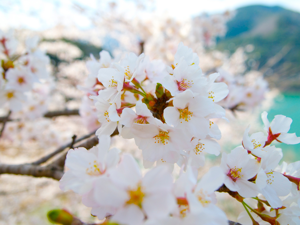
Sakura

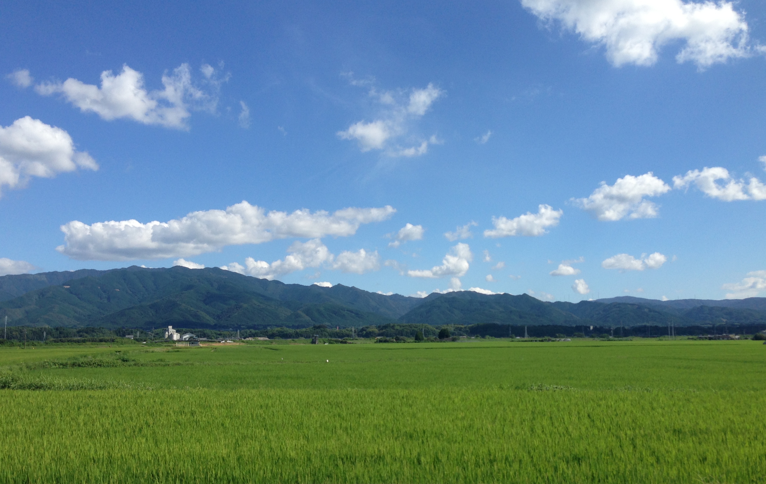
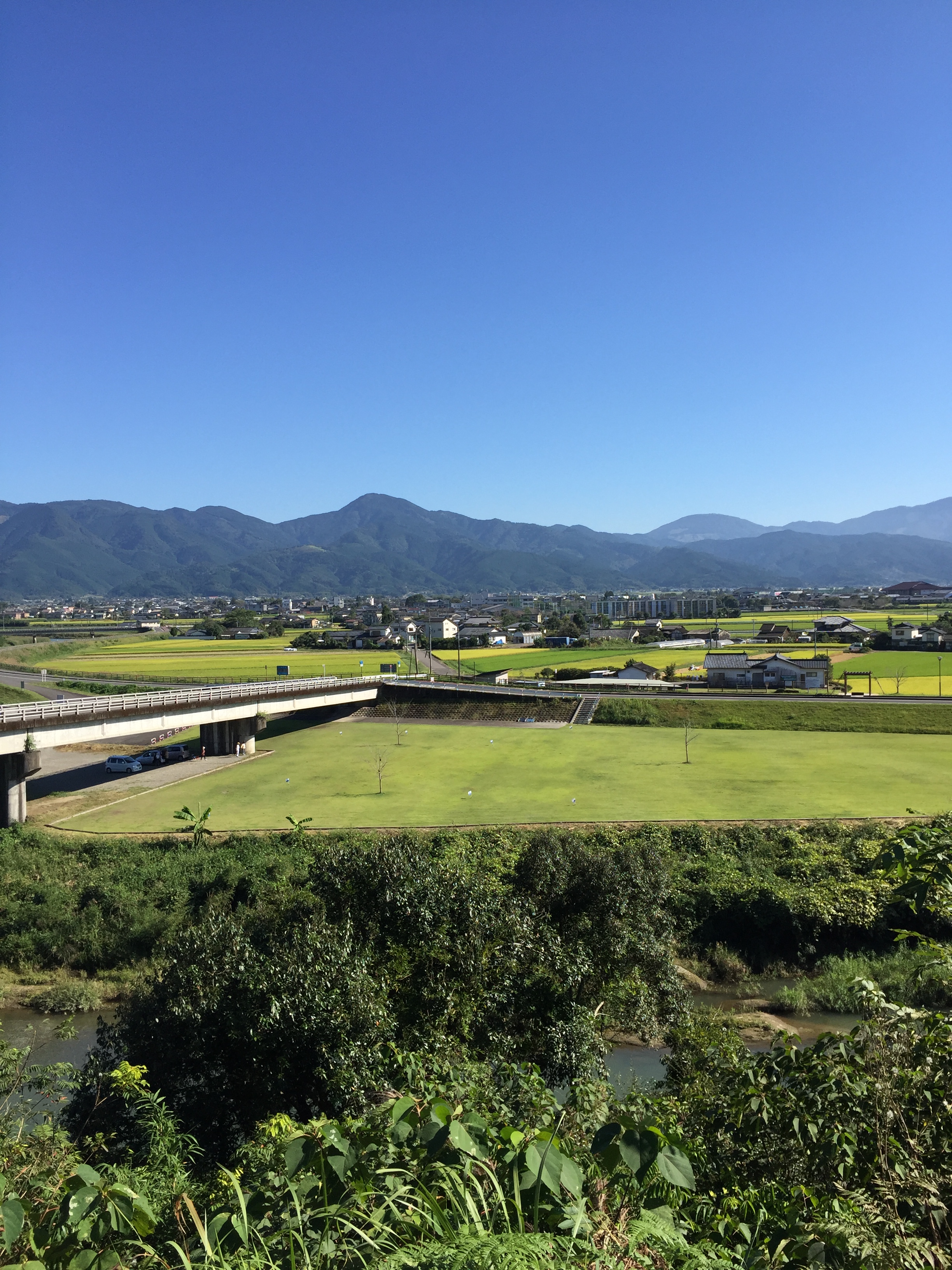
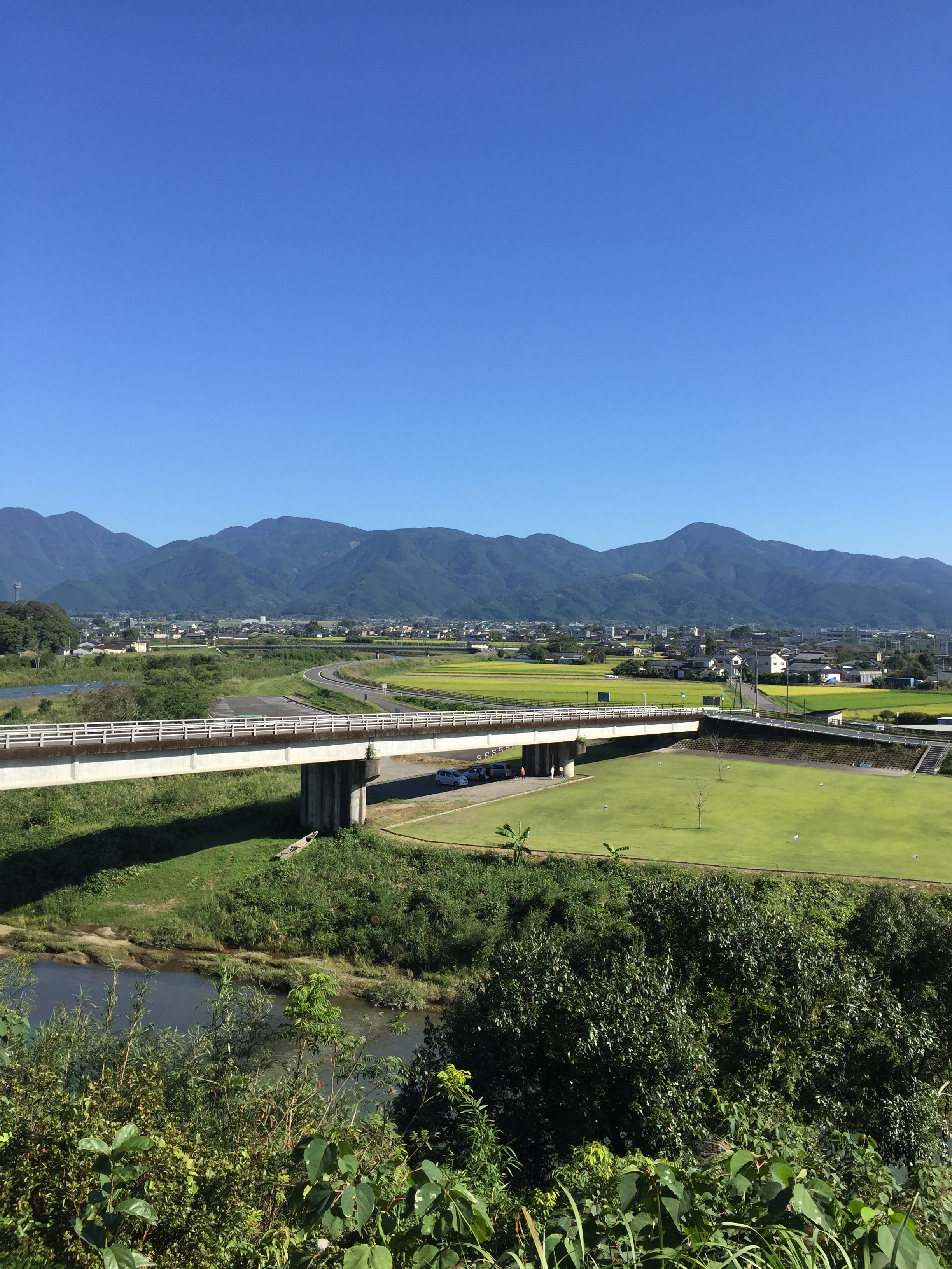
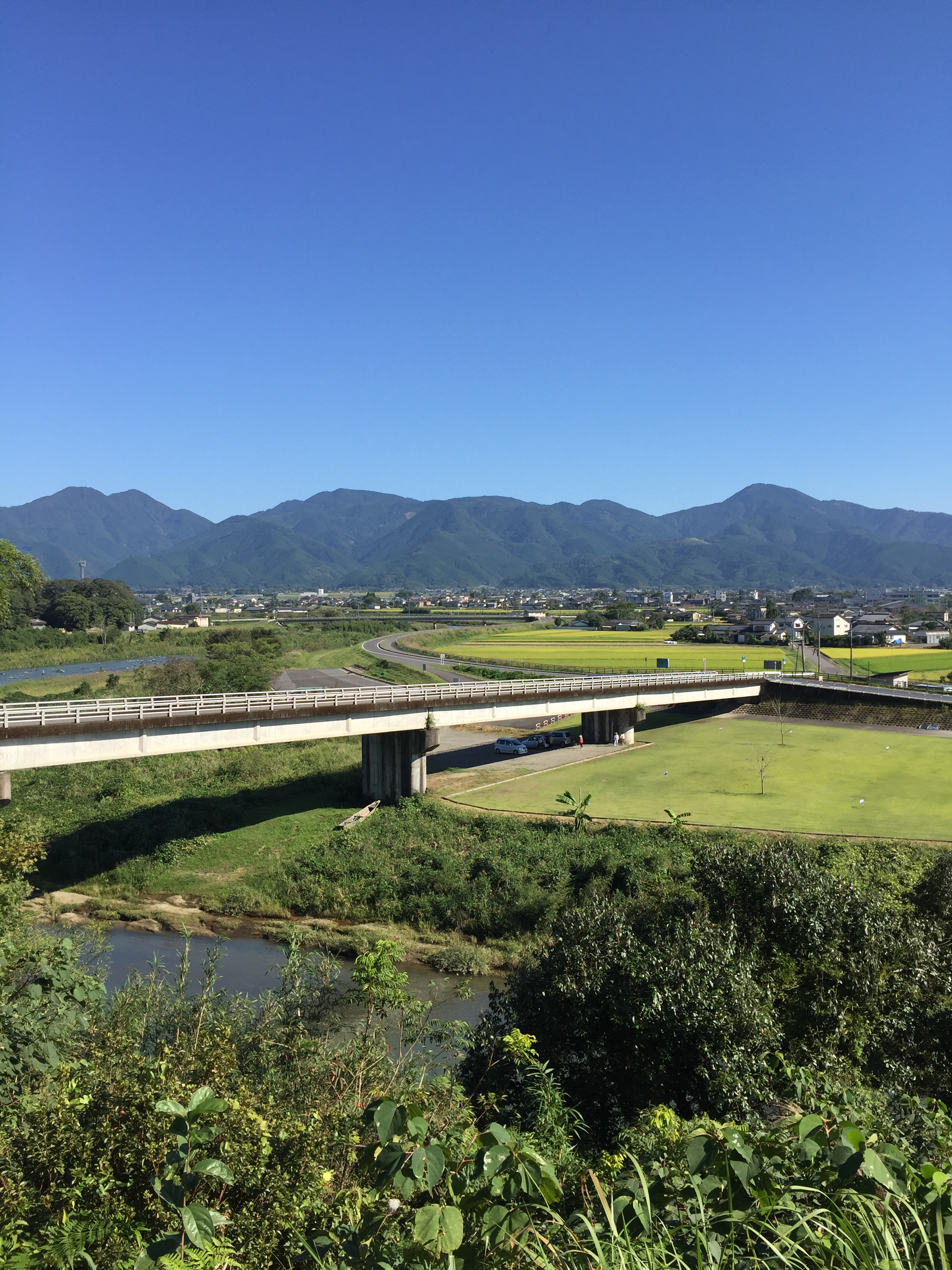
a view of Taragi-town
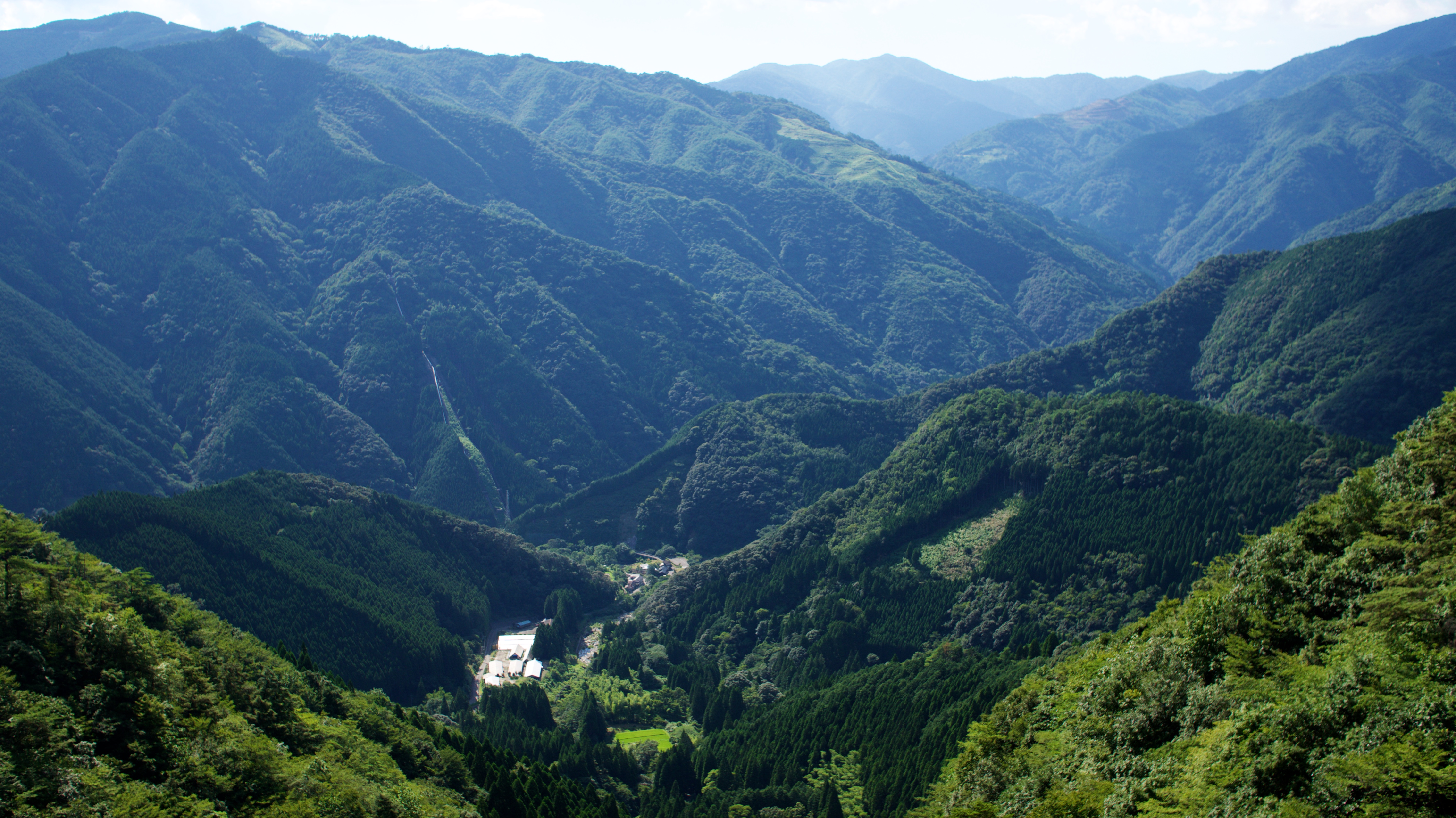
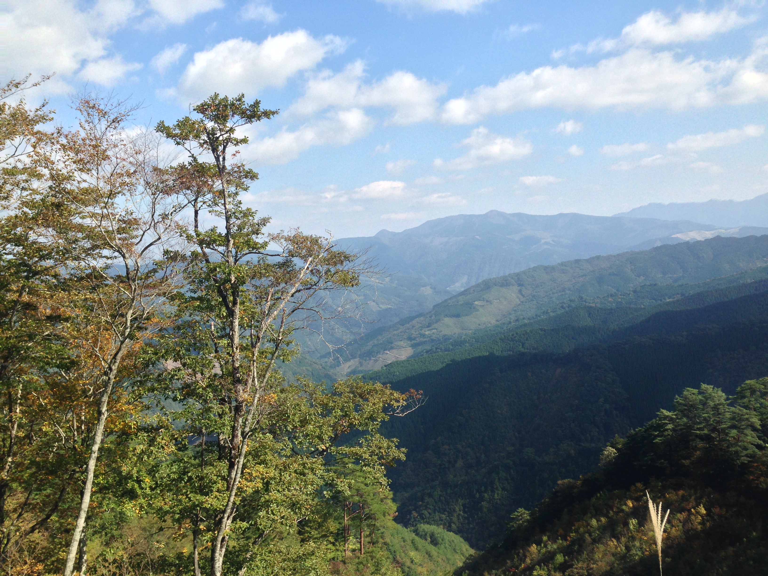
熊本 球磨地方の風景
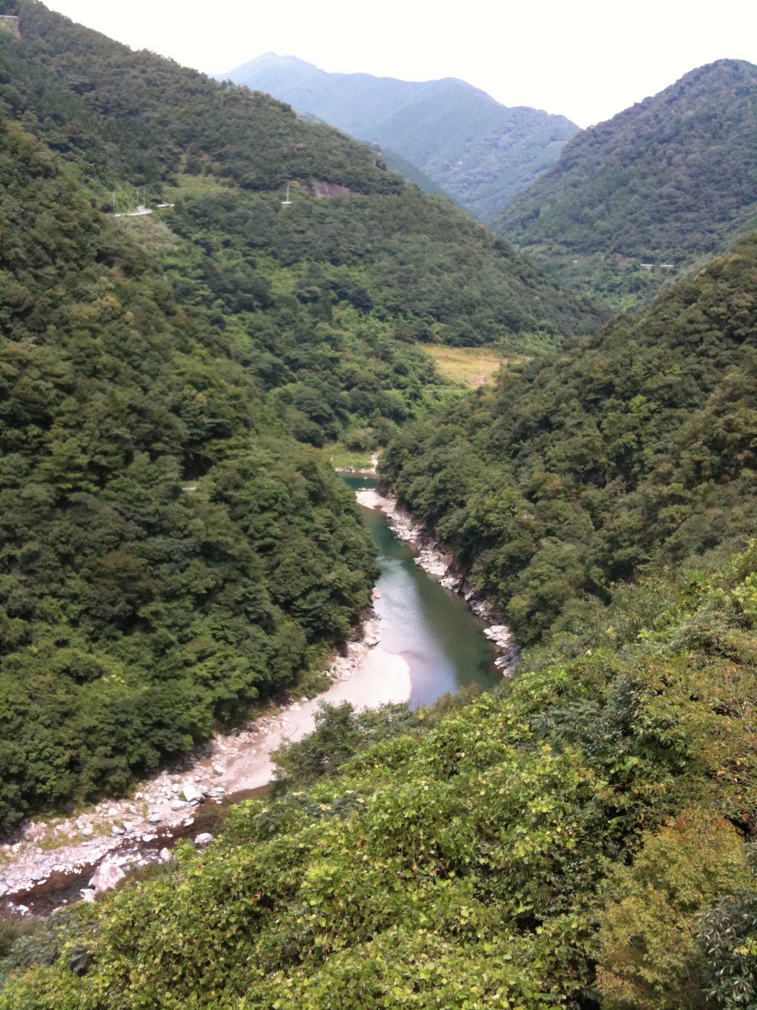
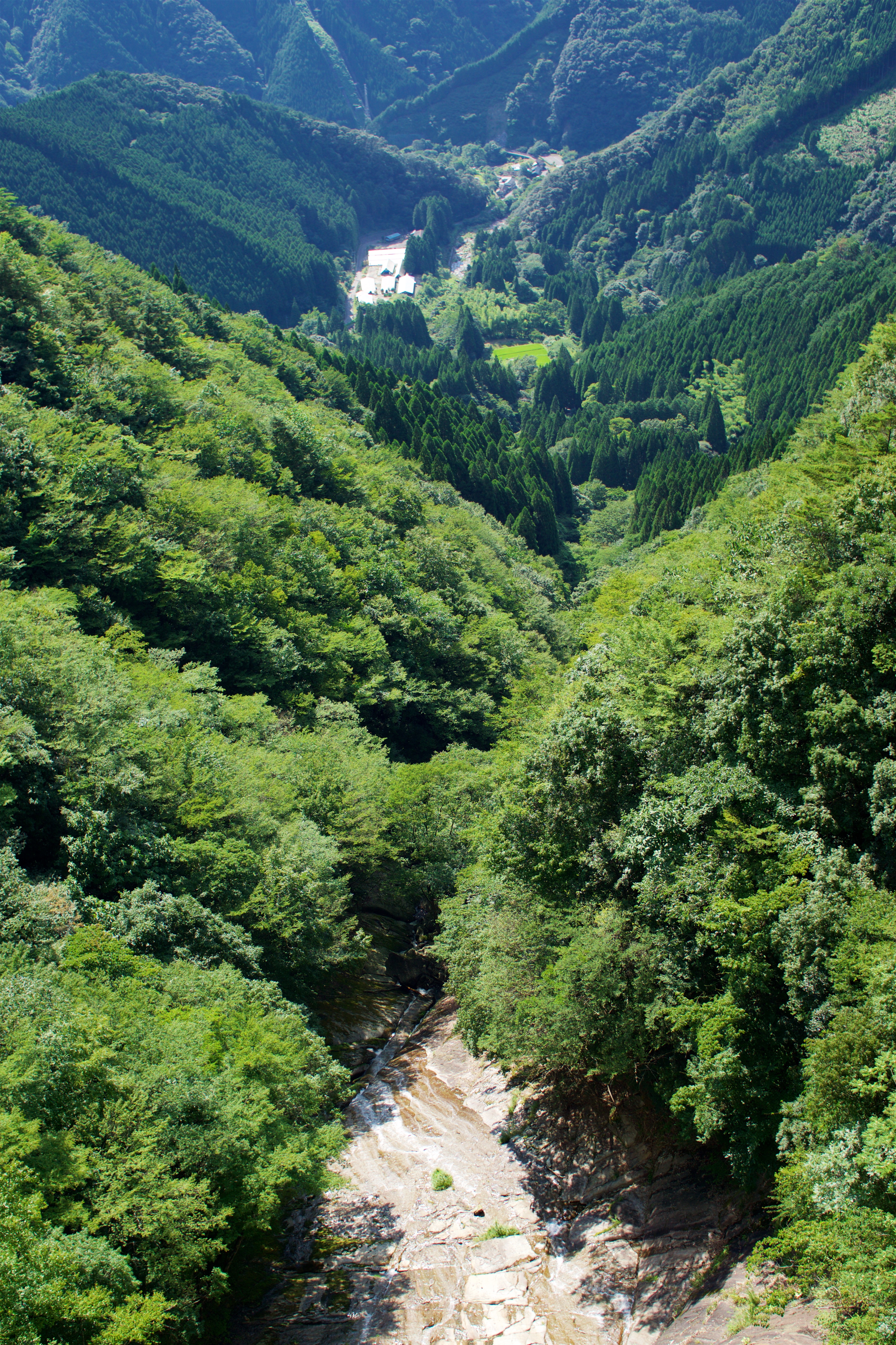
ダム本体予定地
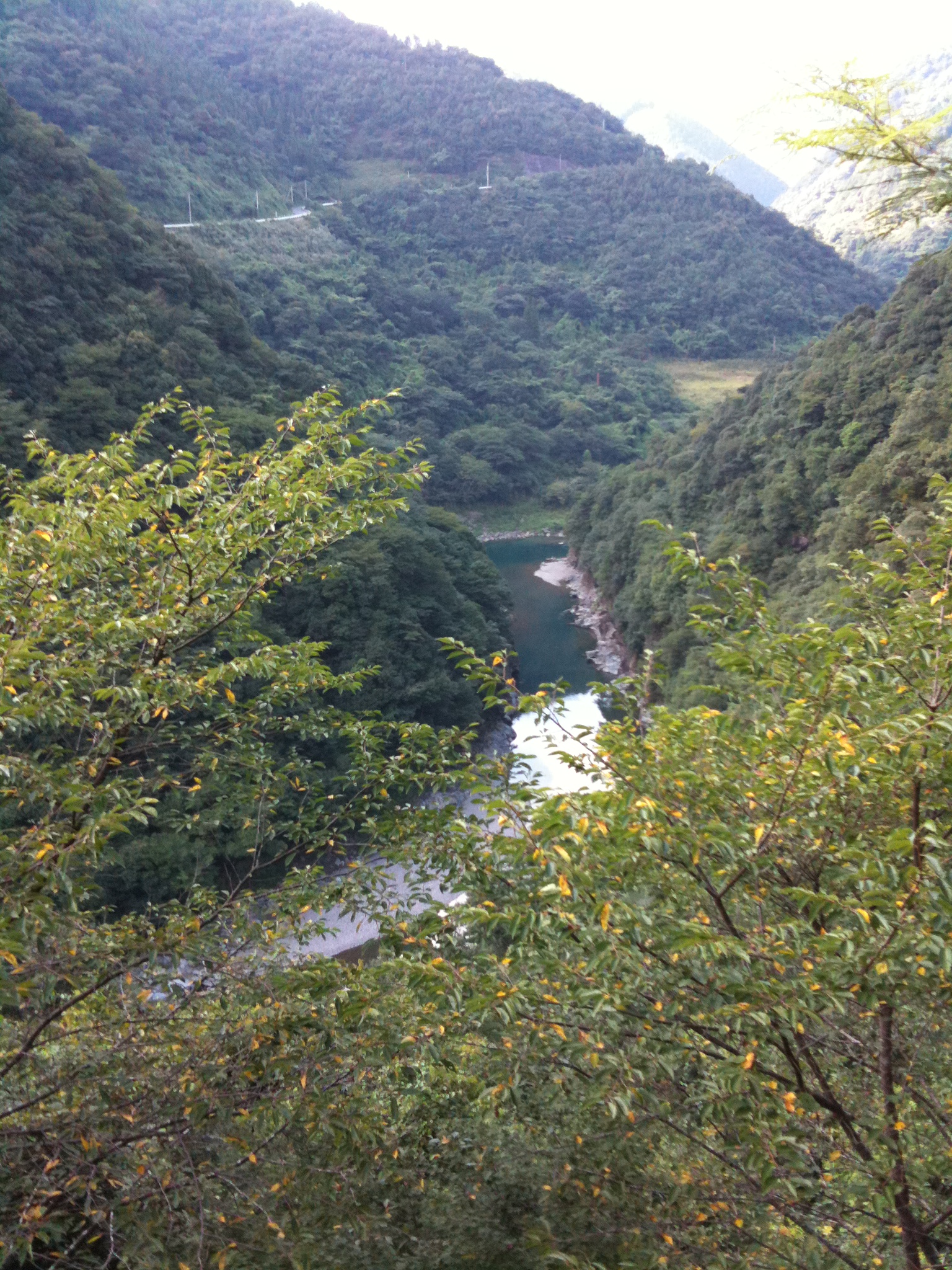
ダムができるらしい場所
白水滝 Shiramizu Falls
白水滝 Shiramizu Falls
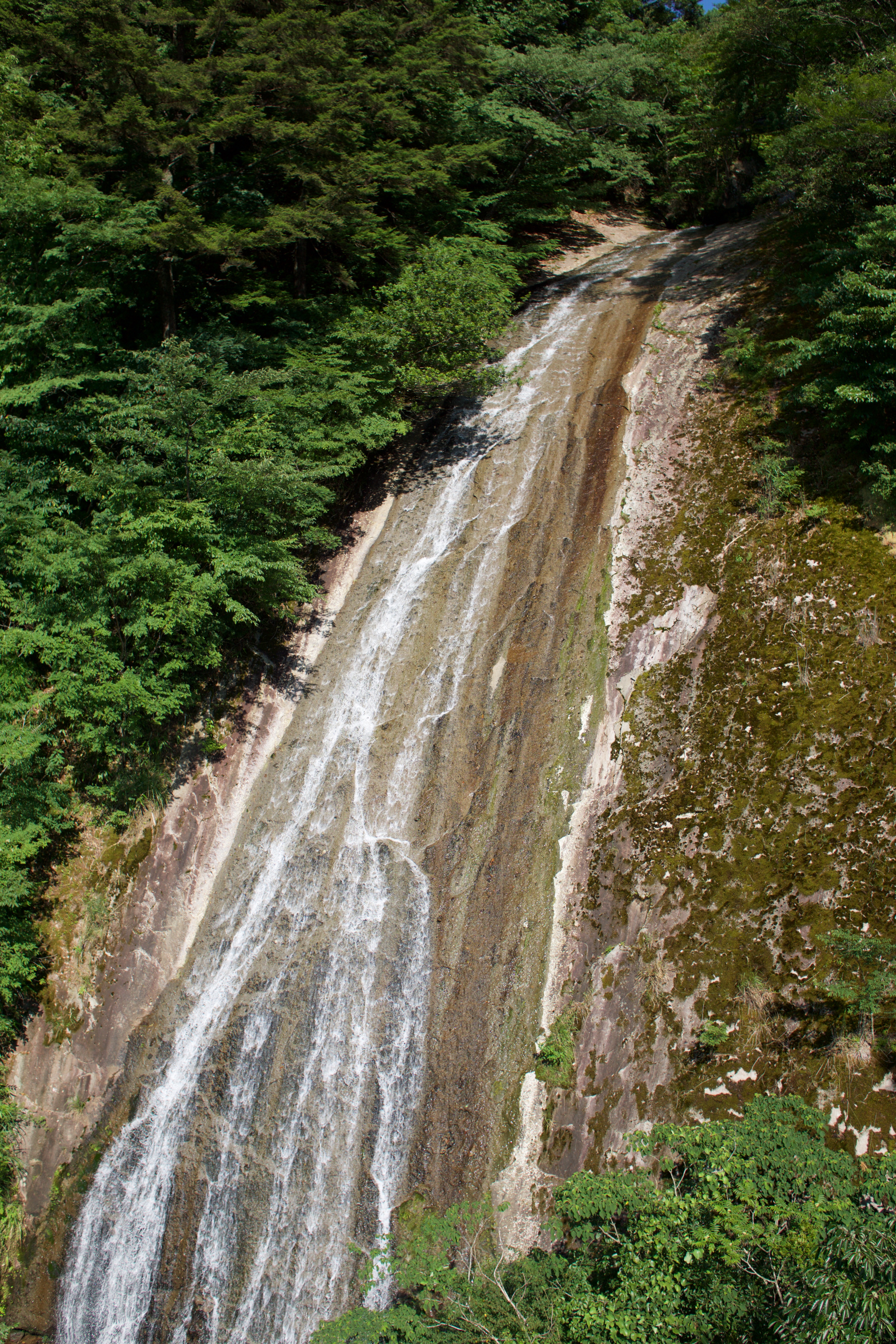
白水滝 Shiramizu Falls
2015-10-03 14.51.01
2015-10-03 14.50.53
2015-10-03 14.50.57
2013-10-26 13.21.45
Topographic Map of Yunomae, Kuma District, Kumamoto Prefecture, Japan
Find elevation by address:

Places in Yunomae, Kuma District, Kumamoto Prefecture, Japan:
(Sonota), Yunomae-machi, Kuma-gun, Kumamoto-ken -, Japan
(Sonota), Yunomae-machi, Kuma-gun, Kumamoto-ken -, Japan
-6 (Sonota), Yunomae-machi, Kuma-gun, Kumamoto-ken -, Japan
Places near Yunomae, Kuma District, Kumamoto Prefecture, Japan:
(Sonota), Yunomae-machi, Kuma-gun, Kumamoto-ken -, Japan
(Sonota), Yunomae-machi, Kuma-gun, Kumamoto-ken -, Japan
-6 (Sonota), Yunomae-machi, Kuma-gun, Kumamoto-ken -, Japan
Taragi
Mizukami
Tsukigi, Taragi-machi, Kuma-gun, Kumamoto-ken -, Japan
Kuma District
Youranishi, Sagara-mura, Kuma-gun, Kumamoto-ken -, Japan
Nishiki
Ichibu, Nishiki-machi, Kuma-gun, Kumamoto-ken -, Japan
Sagara
595-1 Magata
-1 Tsutsumi, Kobayashi-shi, Miyazaki-ken -, Japan
Kitamata
Kitamata, Aya-chō, Higashimorokata-gun, Miyazaki-ken -, Japan
Ushirokawauchi, Takaharu-chō, Nishimorokata-gun, Miyazaki-ken -, Japan
Takaharu
Nishimorokata District
Fukadoshi, Kunitomi-chō, Higashimorokata-gun, Miyazaki-ken -, Japan
Mount Kirishima
Recent Searches:
- Elevation of Corso Fratelli Cairoli, 35, Macerata MC, Italy
- Elevation of Tallevast Rd, Sarasota, FL, USA
- Elevation of 4th St E, Sonoma, CA, USA
- Elevation of Black Hollow Rd, Pennsdale, PA, USA
- Elevation of Oakland Ave, Williamsport, PA, USA
- Elevation of Pedrógão Grande, Portugal
- Elevation of Klee Dr, Martinsburg, WV, USA
- Elevation of Via Roma, Pieranica CR, Italy
- Elevation of Tavkvetili Mountain, Georgia
- Elevation of Hartfords Bluff Cir, Mt Pleasant, SC, USA