Elevation of Yukutō, Kamigōri-chō, Akō-gun, Hyōgo-ken -, Japan
Location: Japan > Hyogo Prefecture > Ako District > Kamigori >
Longitude: 134.276139
Latitude: 34.8620319
Elevation: 98m / 322feet
Barometric Pressure: 100KPa
Elevation Map:
Satellite Map:
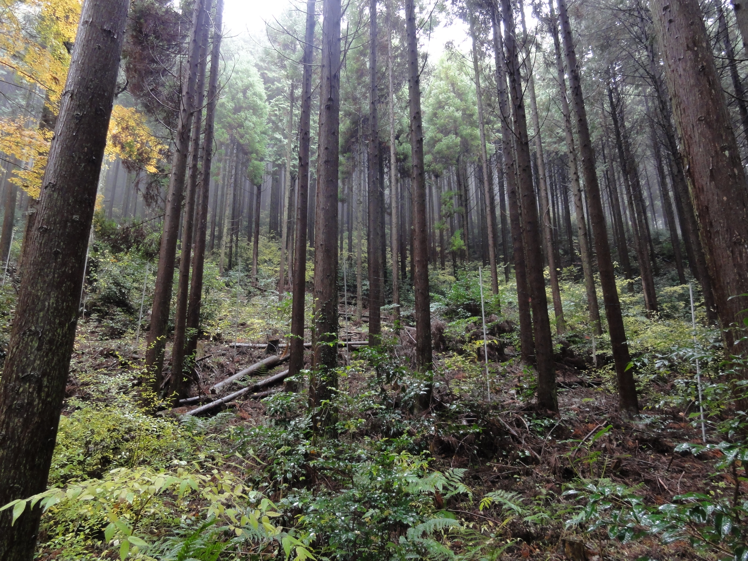
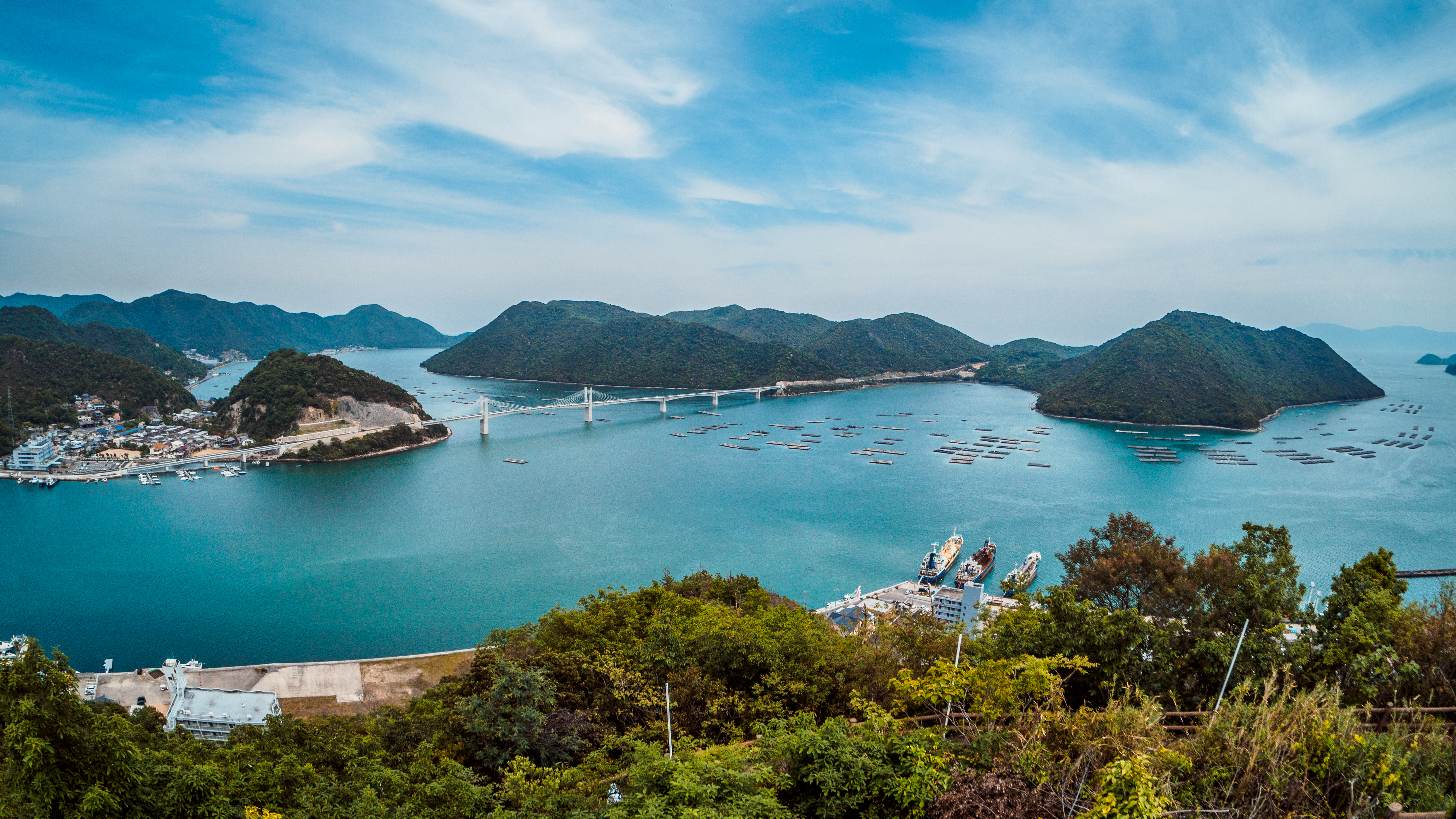
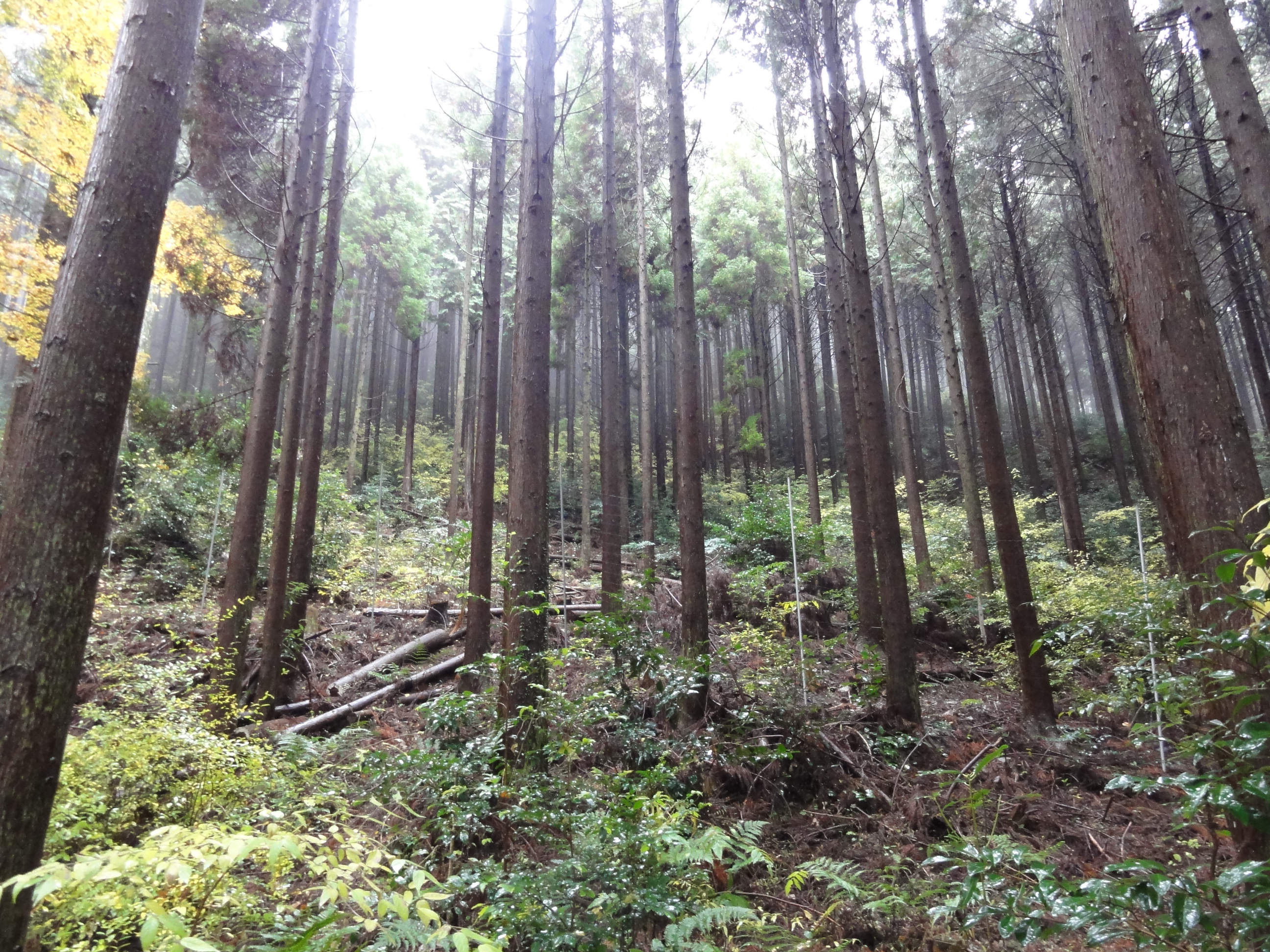
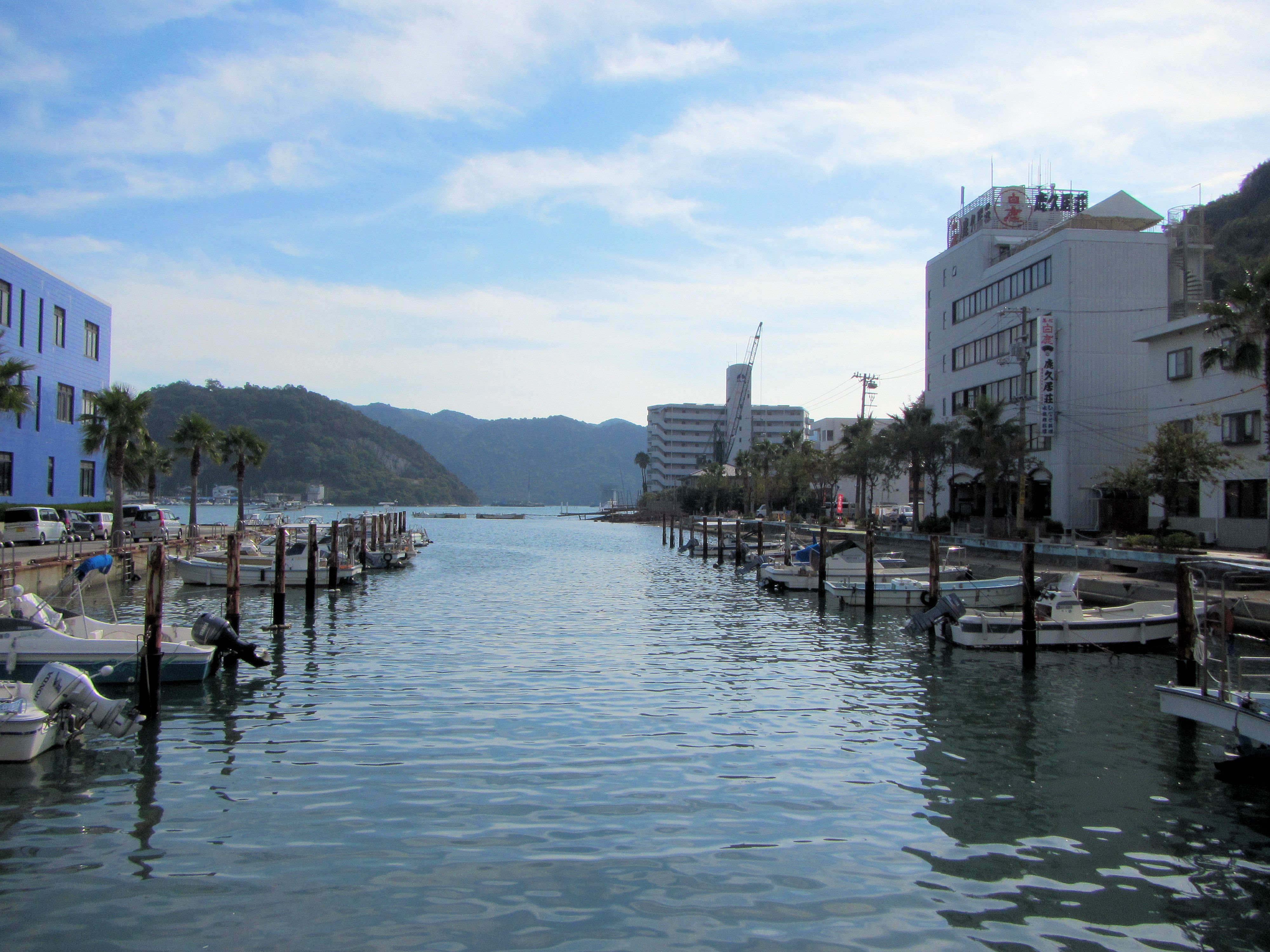
Related Photos:
Shizutani School, stereo parallel view

Shizutani School, stereo cross view
PhoTones Works #6724

PhoTones Works #6718

PhoTones Works #6716
DSC08853.JPG
DSC08859.JPG
ゆらりゆらり
1A8EB7EE-E75B-4C7F-B5C9-4653908C7963.JPG
The fishing boat comes back to port.
PhoTones Works #6715
DSC08858.JPG
PhoTones Works #6717
DSC08856.JPG
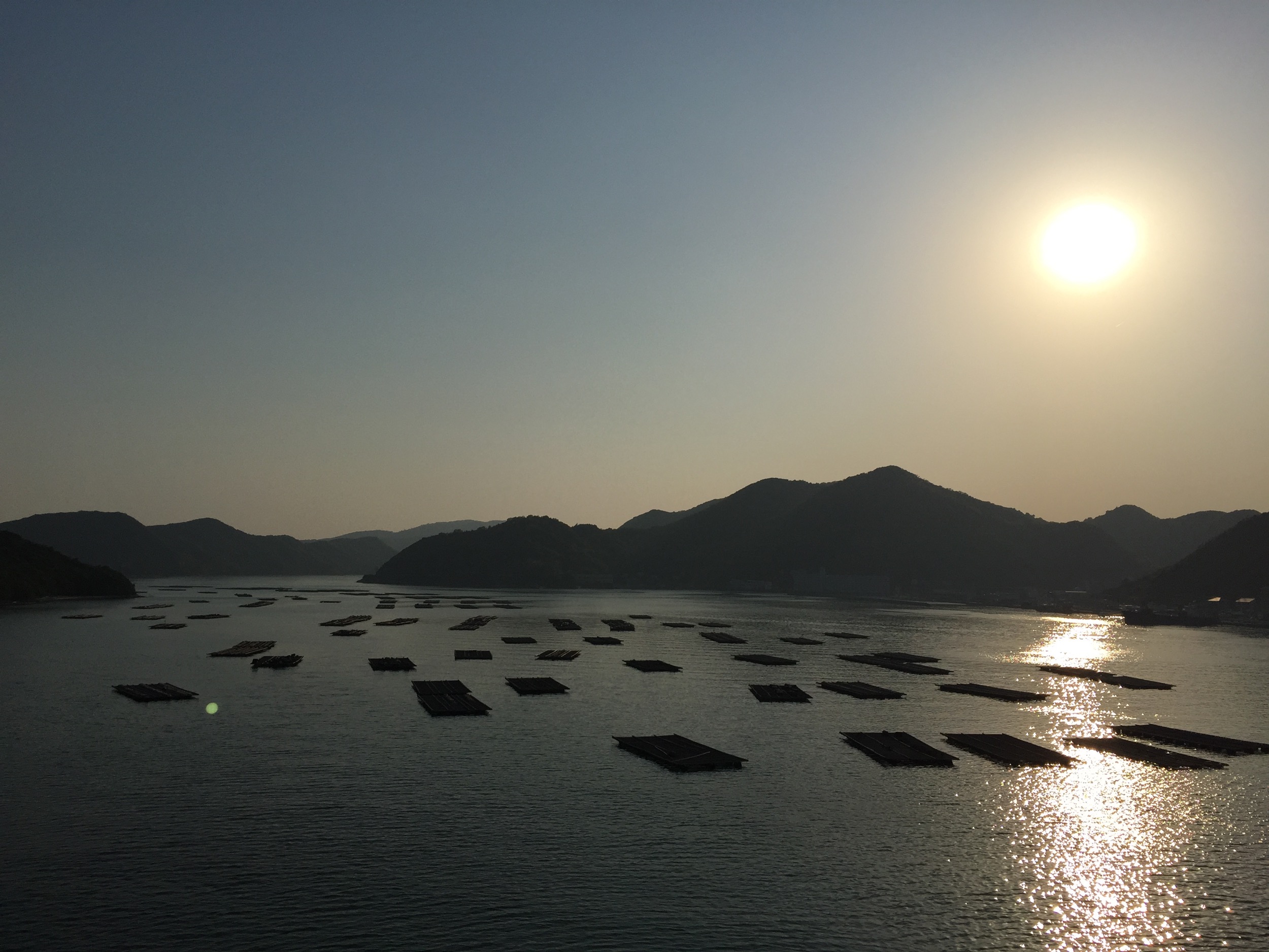
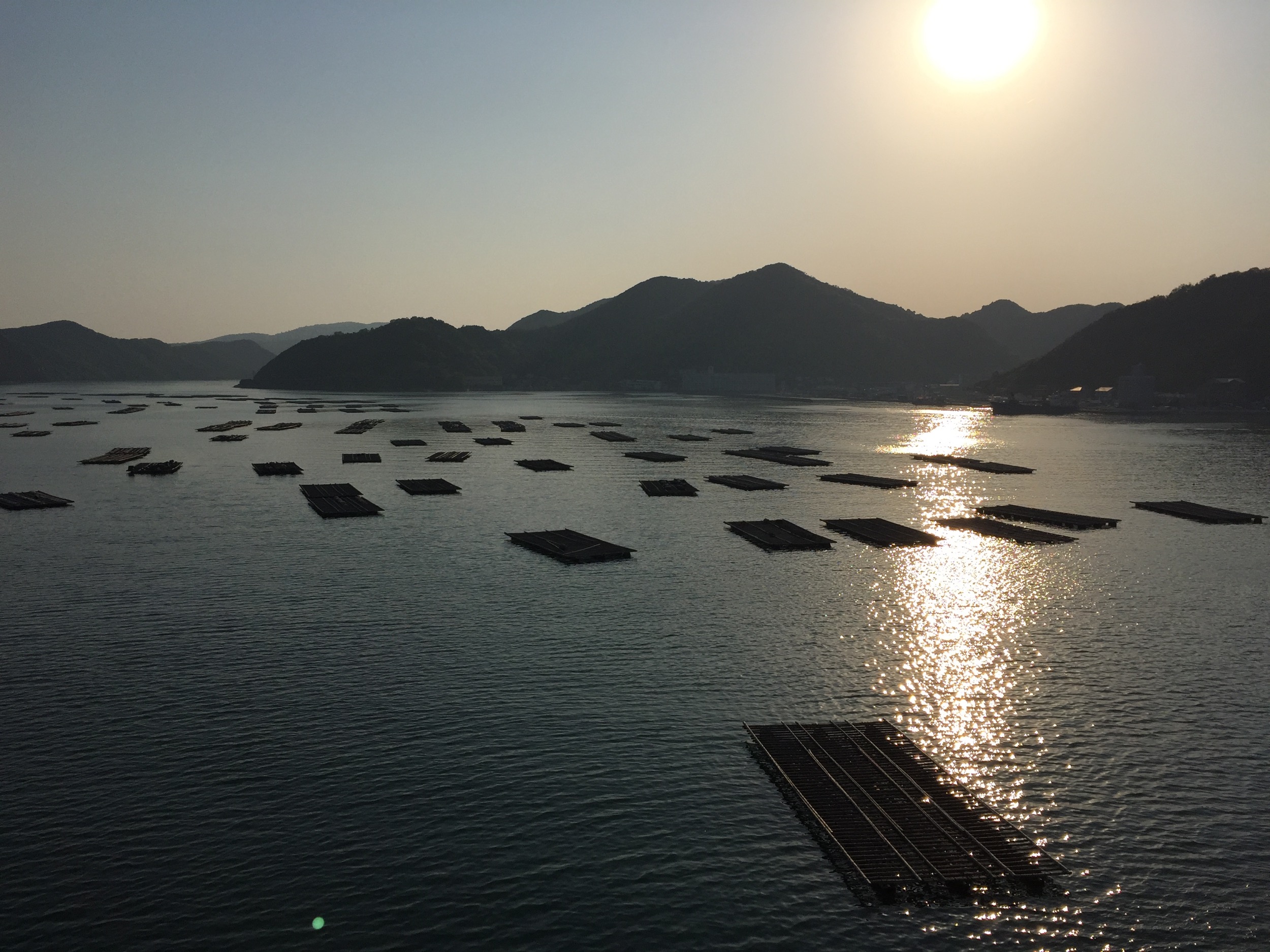
inland sea japan
すべての写真-185
IMG_2214.JPG
特急スーパーはくと1号
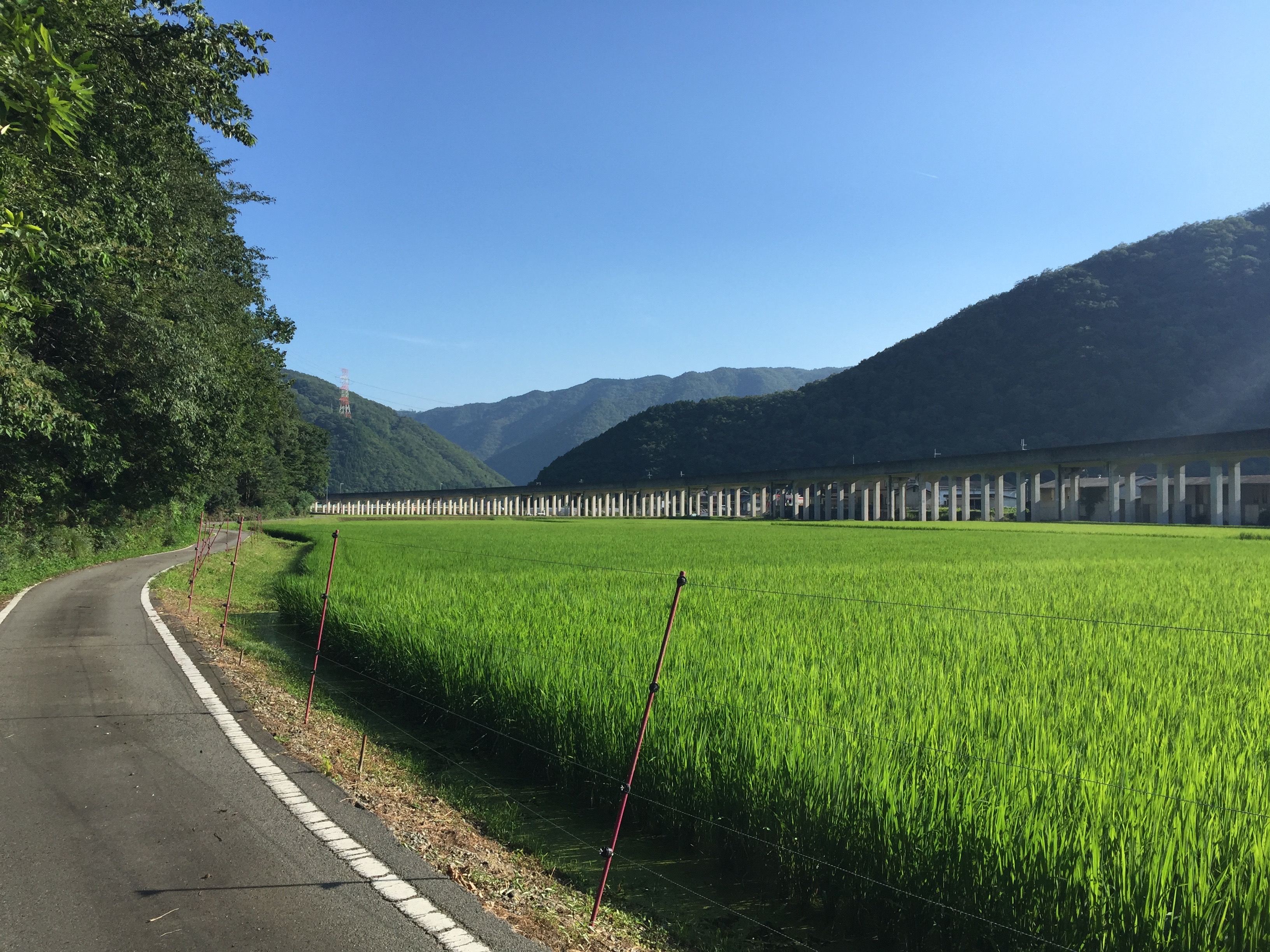
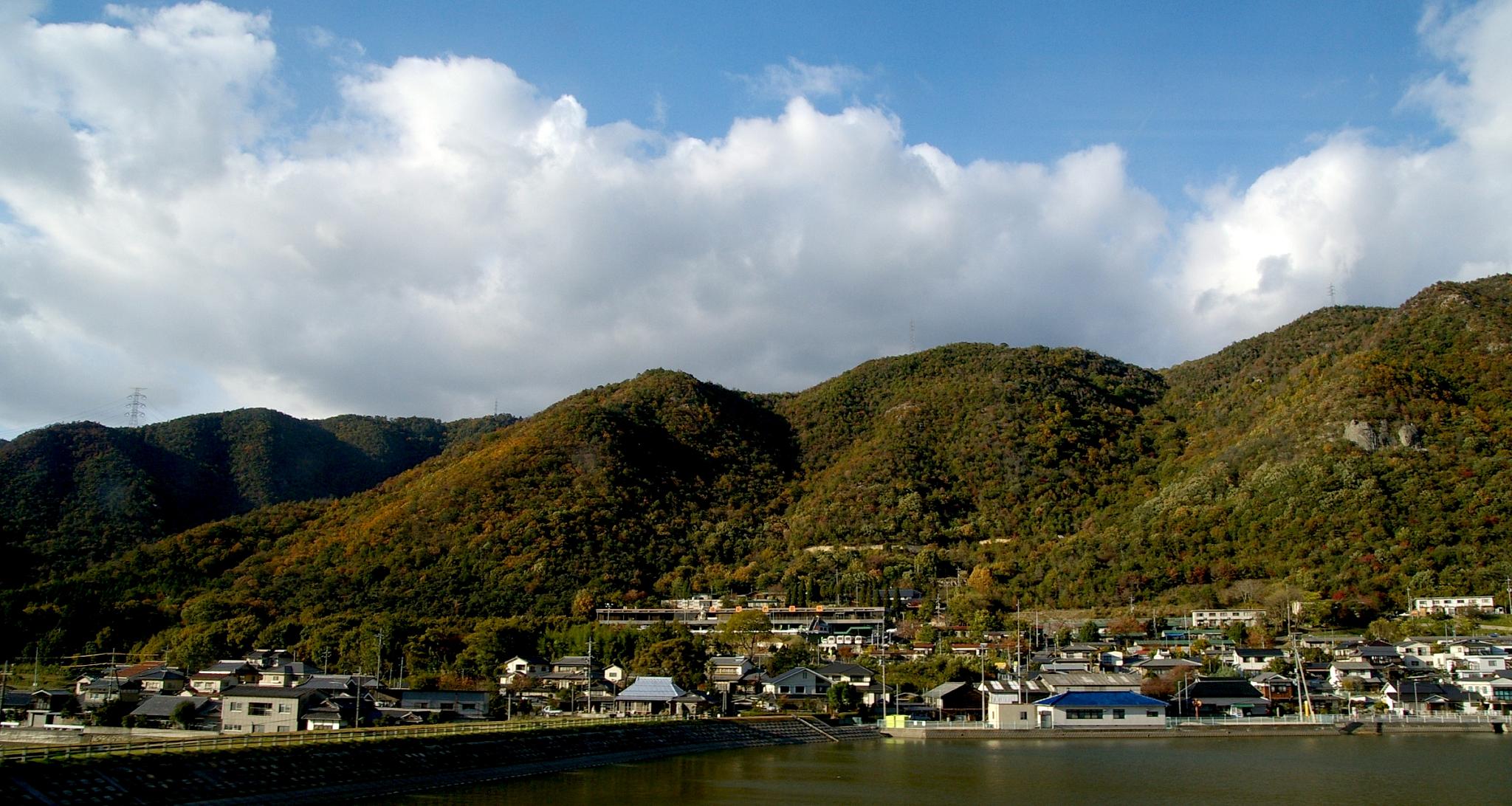
だんだんと
すべての写真-184

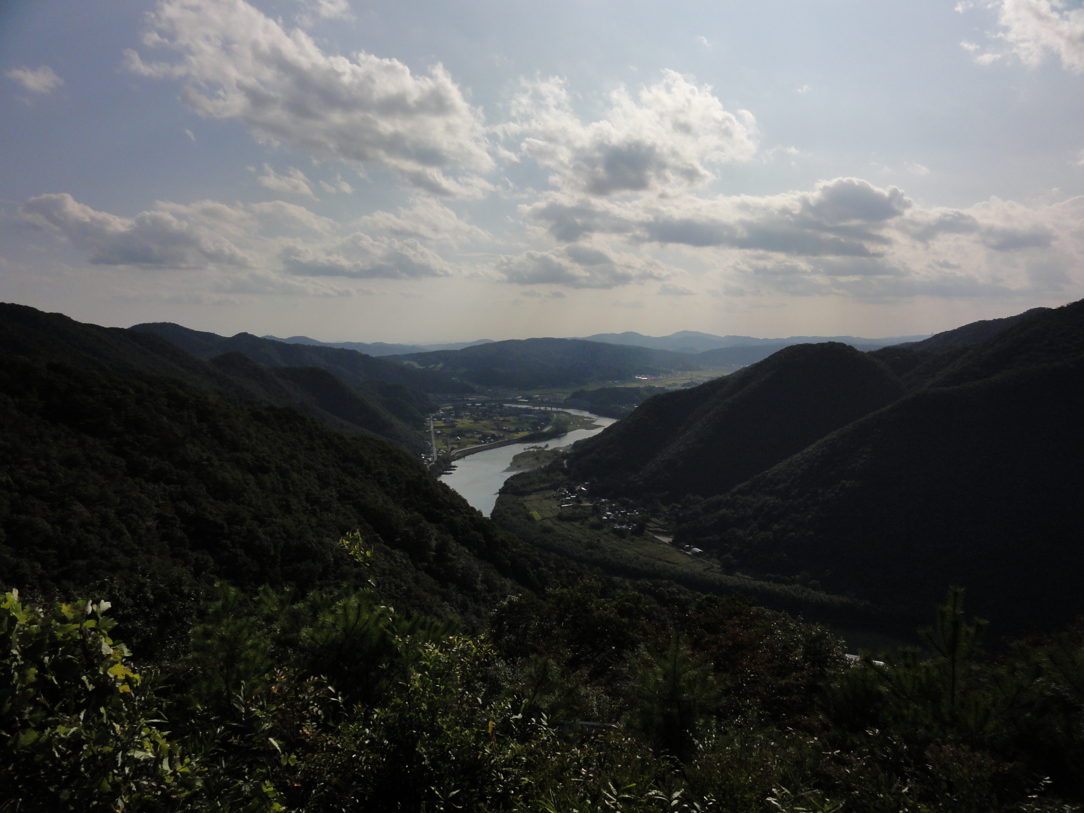
1119-150212-tommy
1119-150212-tommy_cr
DSC05127.JPG
Topographic Map of Yukutō, Kamigōri-chō, Akō-gun, Hyōgo-ken -, Japan
Find elevation by address:

Places near Yukutō, Kamigōri-chō, Akō-gun, Hyōgo-ken -, Japan:
Yahohei, Kamigōri-chō, Akō-gun, Hyōgo-ken -, Japan
Yahootsu, Kamigōri-chō, Akō-gun, Hyōgo-ken -, Japan
66 Betsumyō, Kamigōri-chō, Akō-gun, Hyōgo-ken -, Japan
Kuribara, Kamigōri-chō, Akō-gun, Hyōgo-ken -, Japan
Orochi, Kamigōri-chō, Akō-gun, Hyōgo-ken -, Japan
Iwakihei, Kamigōri-chō, Akō-gun, Hyōgo-ken -, Japan
Funasaka, Kamigōri-chō, Akō-gun, Hyōgo-ken -, Japan
Iwakiotsu, Kamigōri-chō, Akō-gun, Hyōgo-ken -, Japan
Iwakikō, Kamigōri-chō, Akō-gun, Hyōgo-ken -, Japan
Ako District
Okayama International Circuit
Kamigori
Ōedashin, Kamigōri-chō, Akō-gun, Hyōgo-ken -, Japan
Kokenawa, Kamigōri-chō, Akō-gun, Hyōgo-ken -, Japan
Takimiya
Yoi, Kamigōri-chō, Akō-gun, Hyōgo-ken -, Japan
Onagadani, Kamigōri-chō, Akō-gun, Hyōgo-ken -, Japan
Kusunoki, Kamigōri-chō, Akō-gun, Hyōgo-ken -, Japan
Akamatsu, Kamigōri-chō, Akō-gun, Hyōgo-ken -, Japan
3 Chome-14-12 Takatadai, Kamigōri-chō, Akō-gun, Hyōgo-ken -, Japan
Recent Searches:
- Elevation of Corso Fratelli Cairoli, 35, Macerata MC, Italy
- Elevation of Tallevast Rd, Sarasota, FL, USA
- Elevation of 4th St E, Sonoma, CA, USA
- Elevation of Black Hollow Rd, Pennsdale, PA, USA
- Elevation of Oakland Ave, Williamsport, PA, USA
- Elevation of Pedrógão Grande, Portugal
- Elevation of Klee Dr, Martinsburg, WV, USA
- Elevation of Via Roma, Pieranica CR, Italy
- Elevation of Tavkvetili Mountain, Georgia
- Elevation of Hartfords Bluff Cir, Mt Pleasant, SC, USA