Elevation of Yow Rd, Stanfield, NC, USA
Location: United States > North Carolina > Stanly County > Furr > Stanfield >
Longitude: -80.445635
Latitude: 35.1801615
Elevation: 171m / 561feet
Barometric Pressure: 99KPa
Elevation Map:
Satellite Map:
Related Photos:
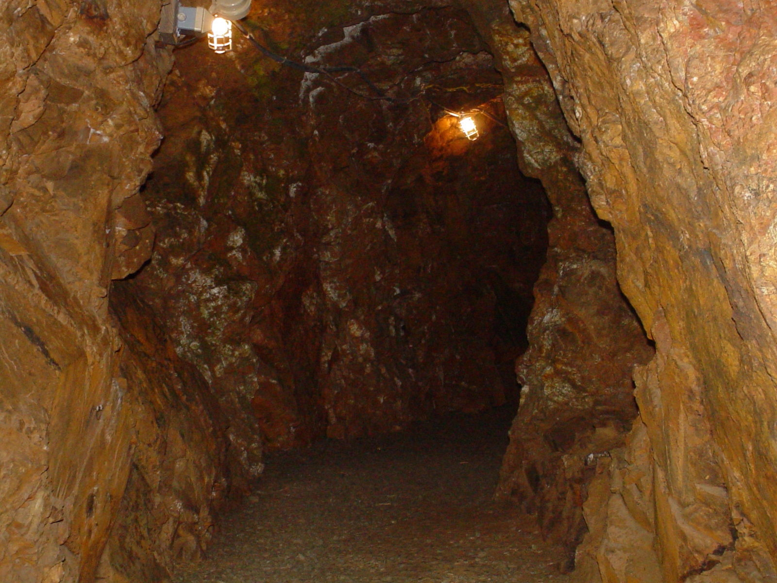
Linker Adit
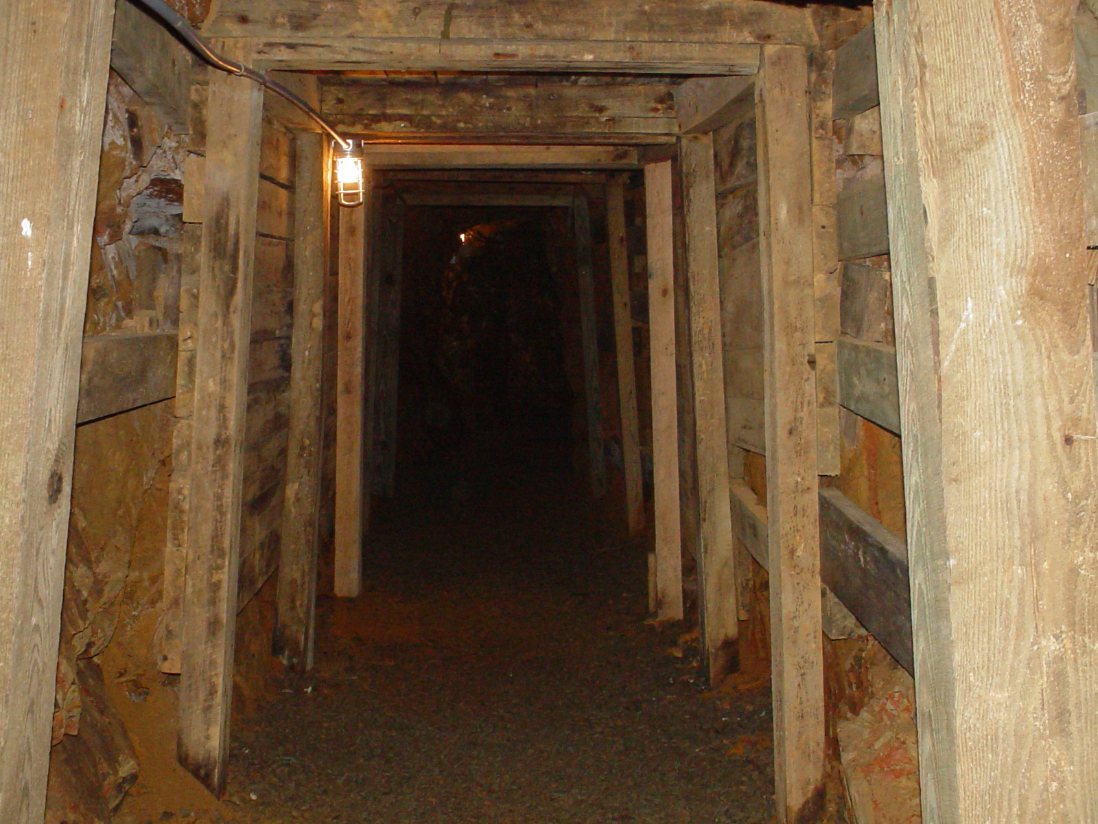
Entering the Mine
DSCN1917.JPG
DSCN1916.JPG
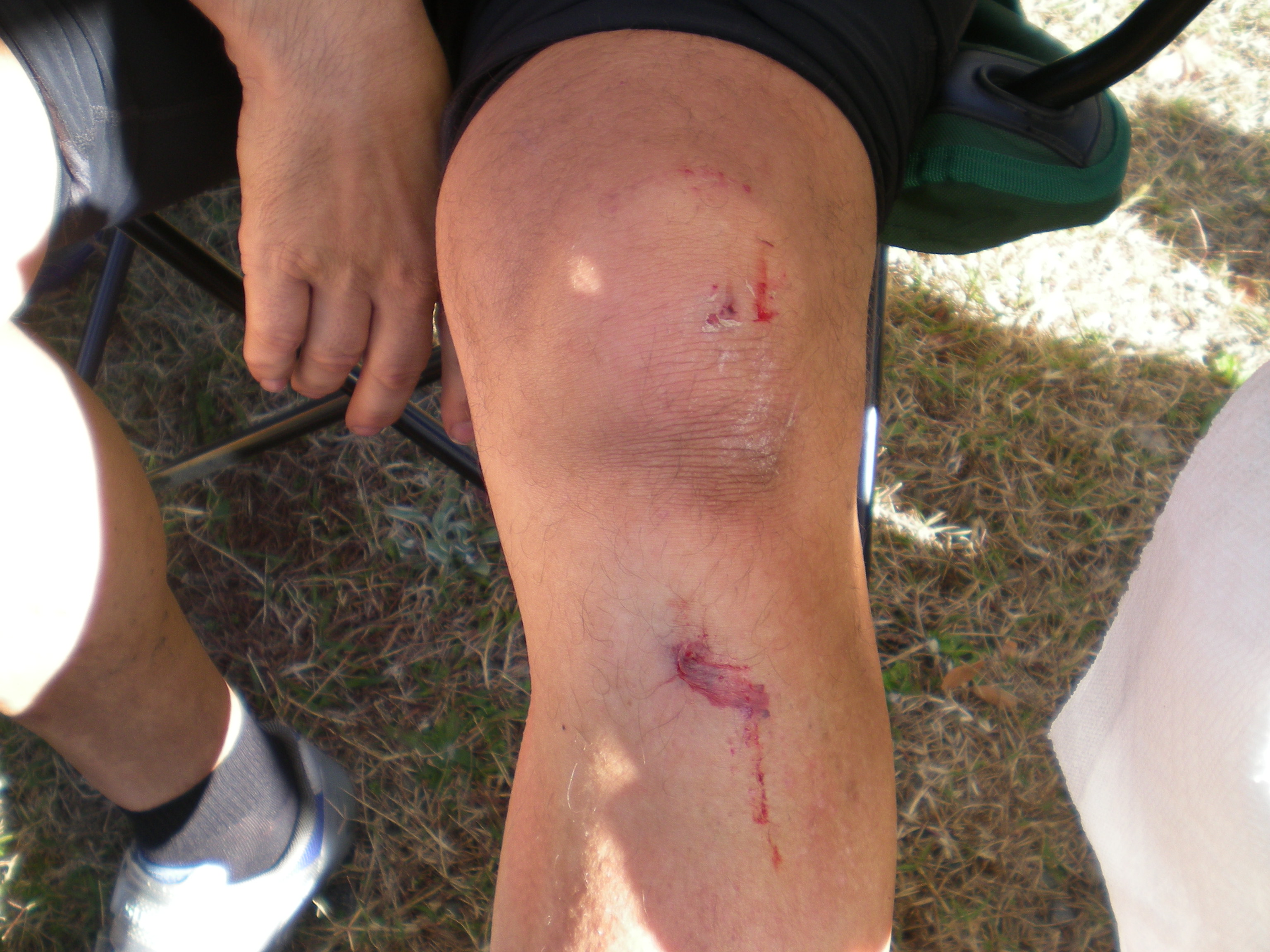
DSCN1915.JPG
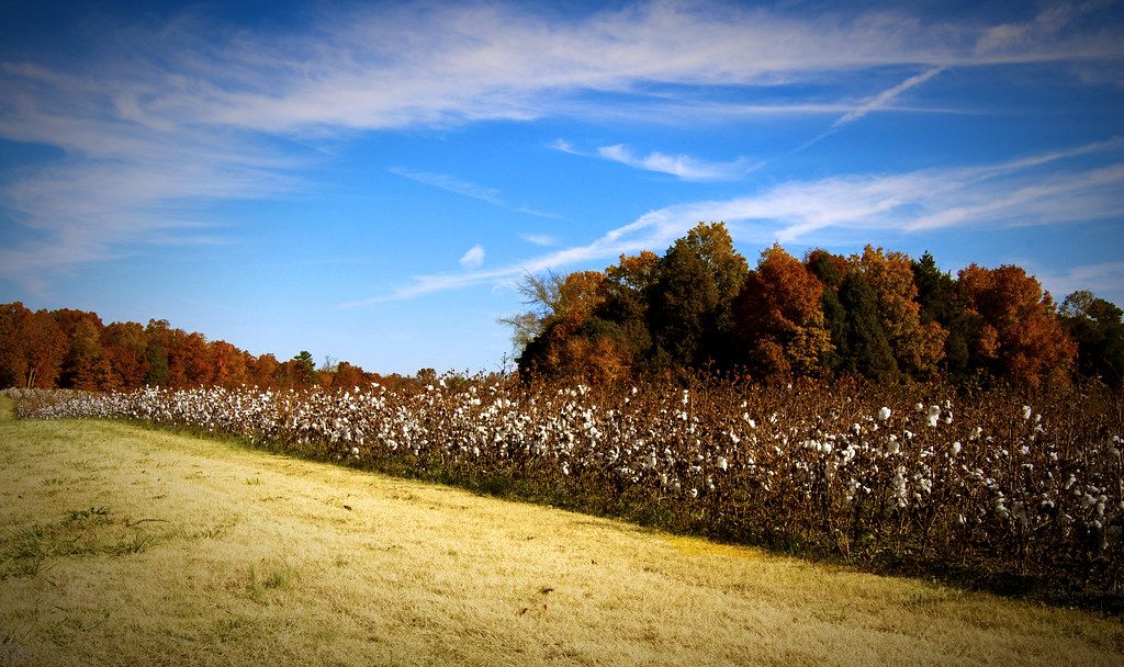
Mint Hill Cotton
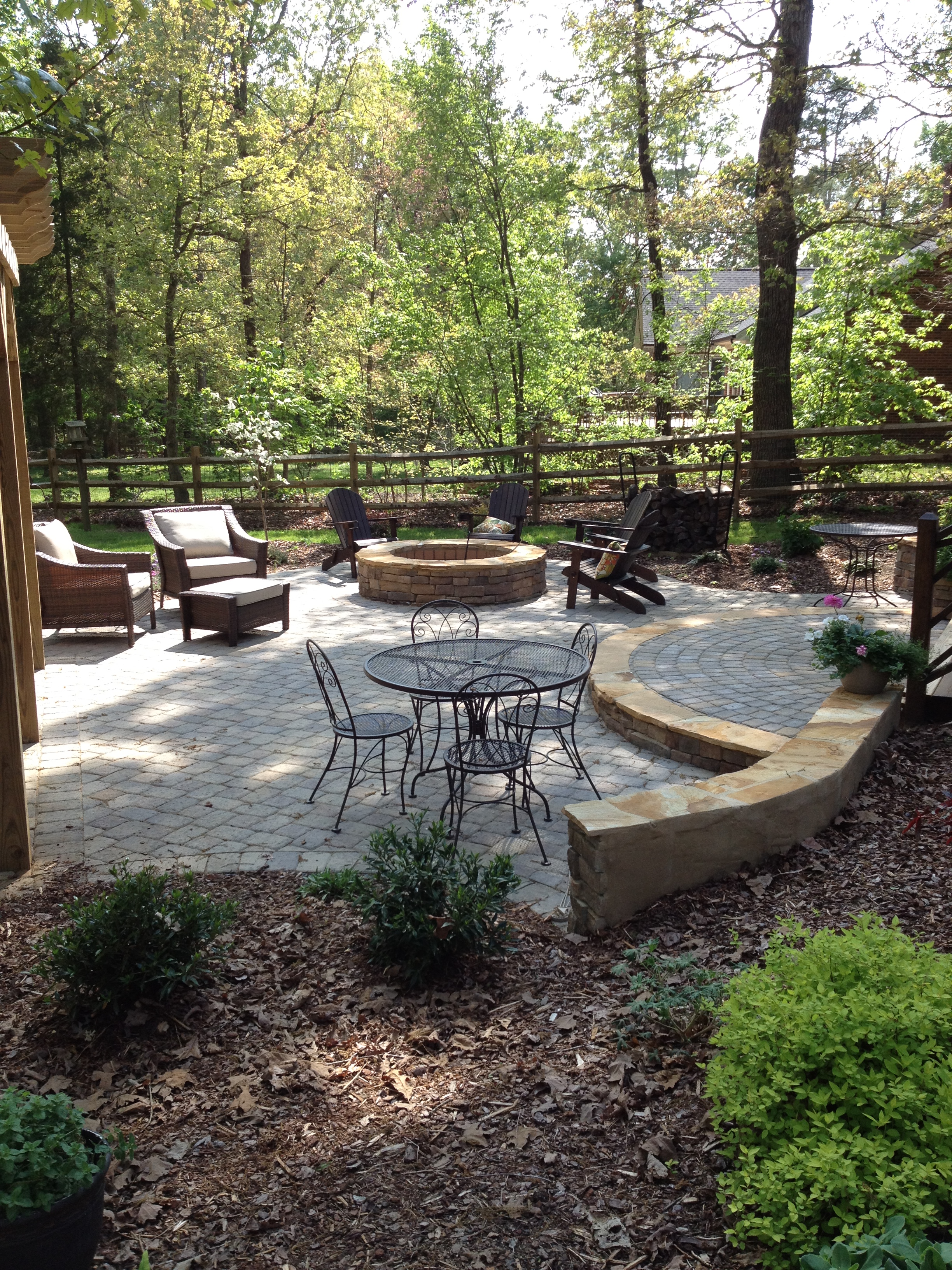
Outdoor living patio

Monroe patio 7

Mint Hill Cotton 1920x1200
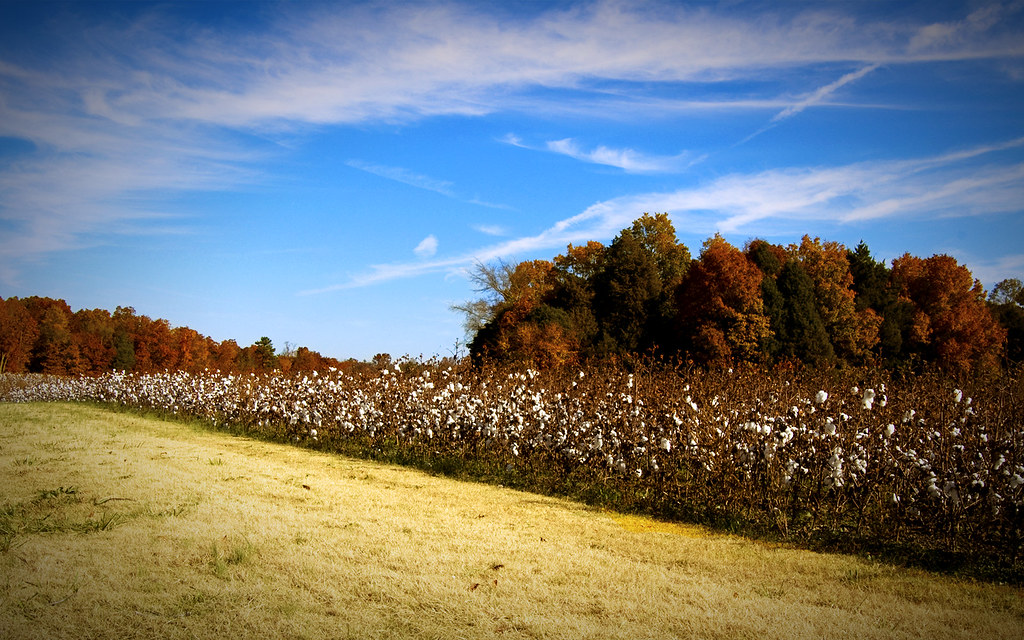
Mint Hill Cotton 1680x1050
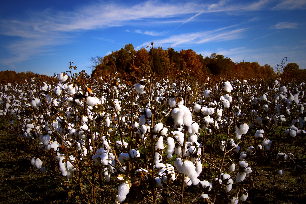
Mint Hill Cotton

The road...

OFF TO SEE THE WIZARD...
July 21 // morning fog
I'm not sad anymore.

#sunset #nofilter

I think I love you.
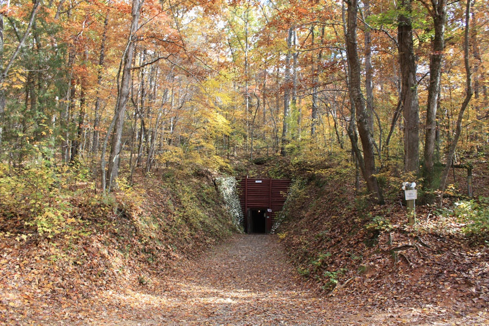
Reed Gold Mine - Fall 08
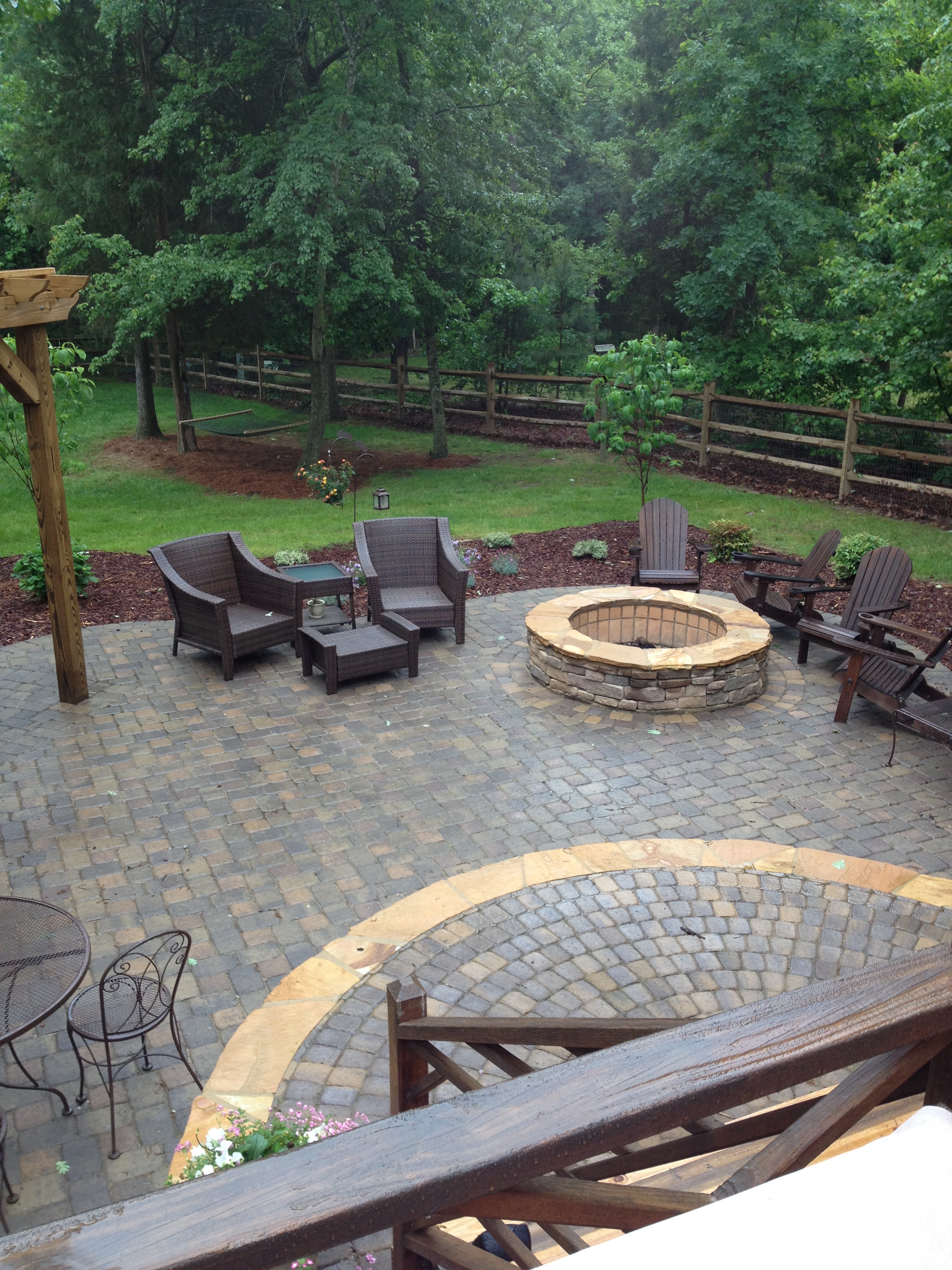
Monroe paver patio
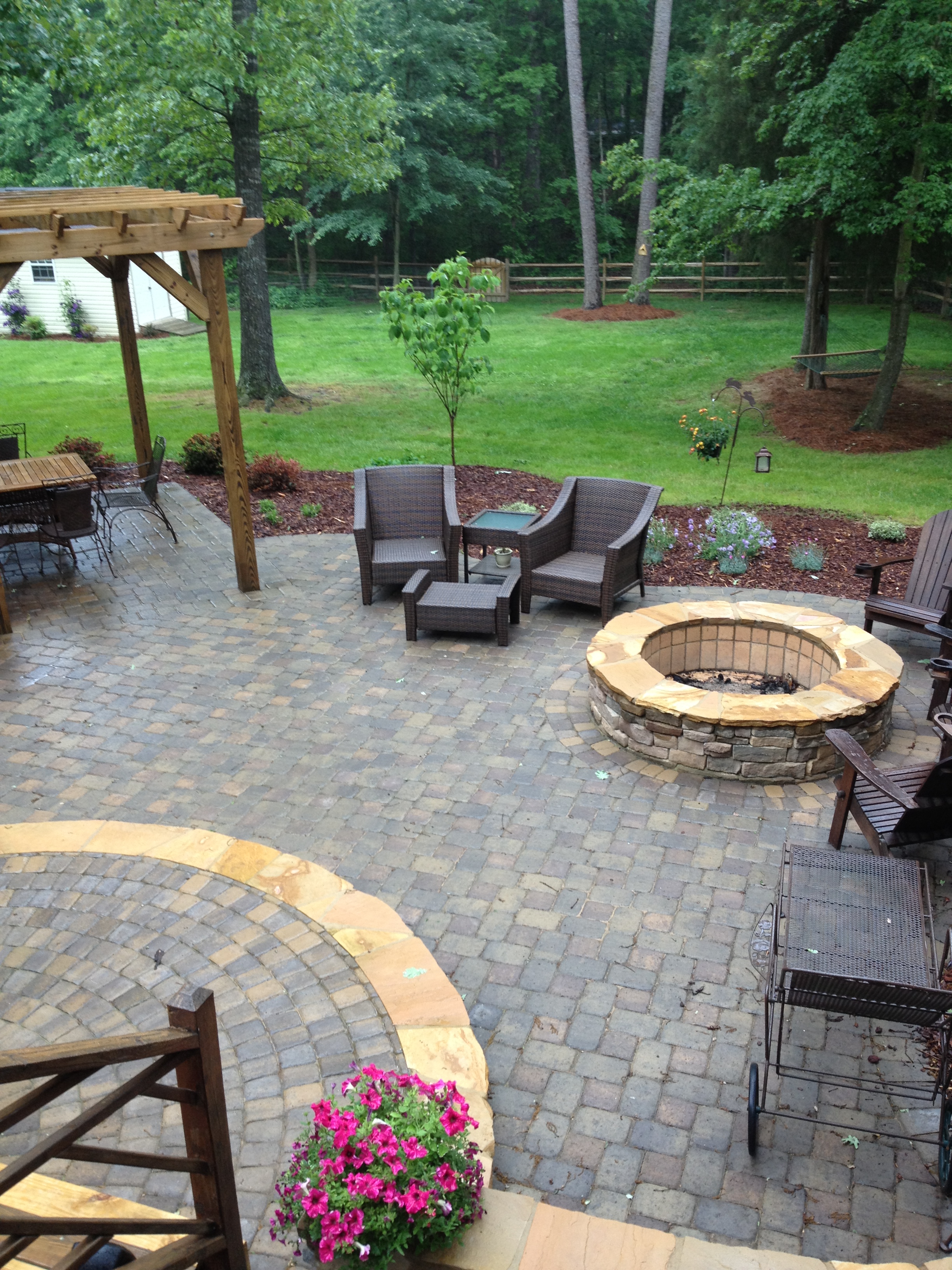
Monroe patio & fire pit
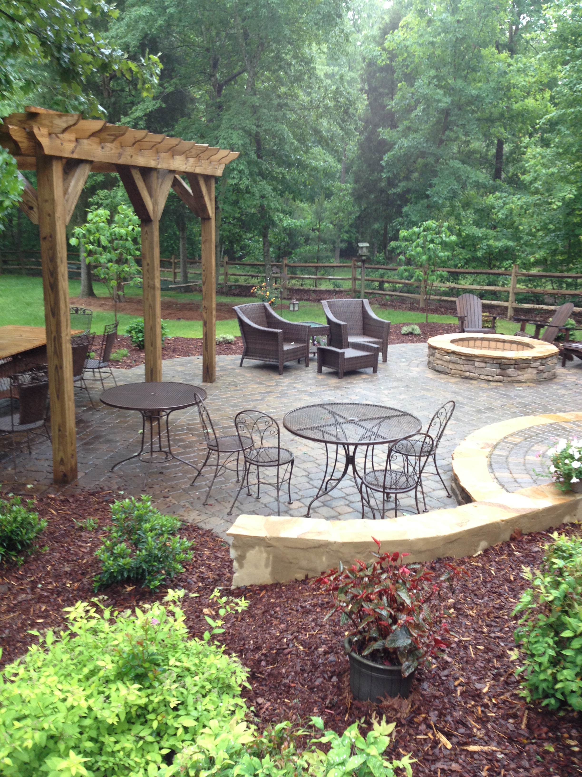
Monroe patio 7
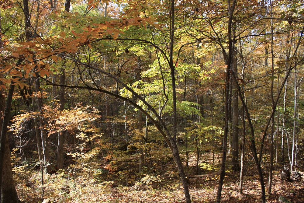
Reed Gold Mine - Fall 08

Reed Gold Mine - Fall 08
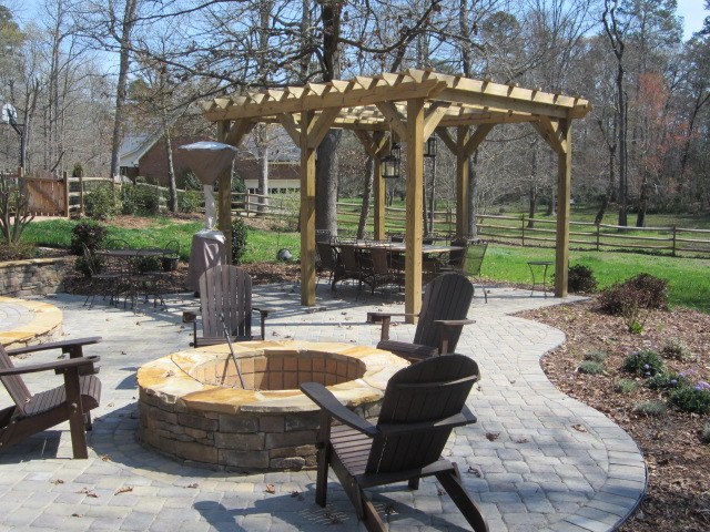
Monroe fire pit 2
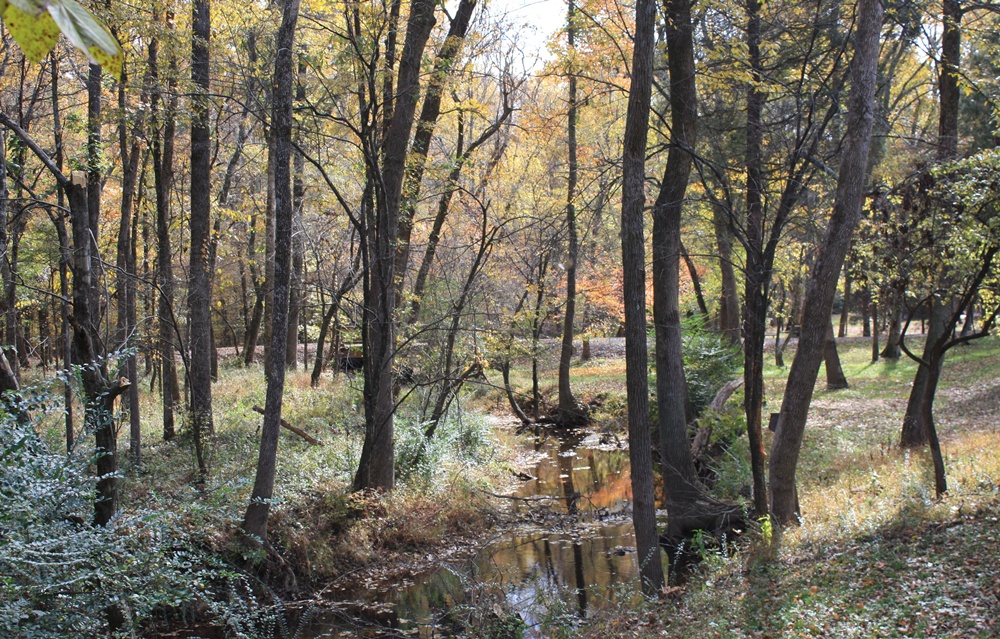
Reed Gold Mine - Fall 08

Reed Gold Mine - Fall 08
Topographic Map of Yow Rd, Stanfield, NC, USA
Find elevation by address:

Places near Yow Rd, Stanfield, NC, USA:
Furr
2106 Quiet Cove Ln
1318 Polk Ford Rd
Stanfield
Midland
102 Mockingbird Ln
Locust
12701 Loving Rd
10850 Hartsell Rd
16203 Big Lick Rd
Providence Street
Providence Street
N Main St, Oakboro, NC, USA
696b Smith Grove Rd
Trailblazers Road
Big Lick
Oakboro
Smith Grove Road
Lakewood Road
9630 Nc-742
Recent Searches:
- Elevation of Corso Fratelli Cairoli, 35, Macerata MC, Italy
- Elevation of Tallevast Rd, Sarasota, FL, USA
- Elevation of 4th St E, Sonoma, CA, USA
- Elevation of Black Hollow Rd, Pennsdale, PA, USA
- Elevation of Oakland Ave, Williamsport, PA, USA
- Elevation of Pedrógão Grande, Portugal
- Elevation of Klee Dr, Martinsburg, WV, USA
- Elevation of Via Roma, Pieranica CR, Italy
- Elevation of Tavkvetili Mountain, Georgia
- Elevation of Hartfords Bluff Cir, Mt Pleasant, SC, USA