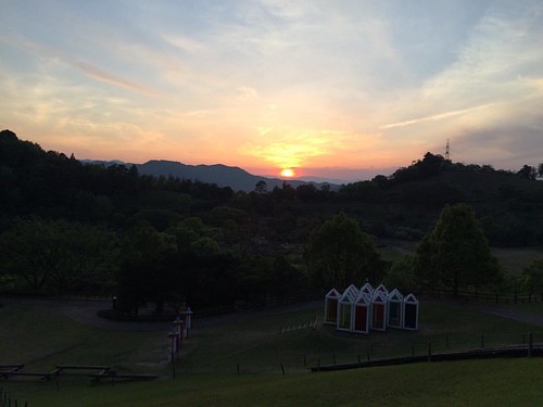
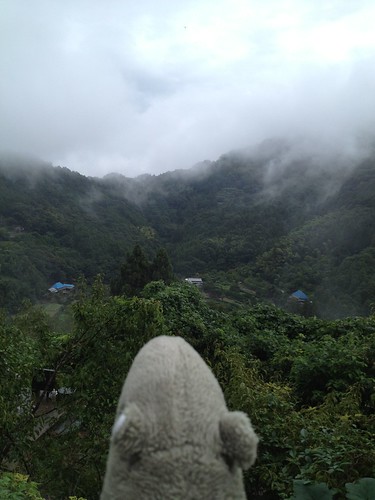
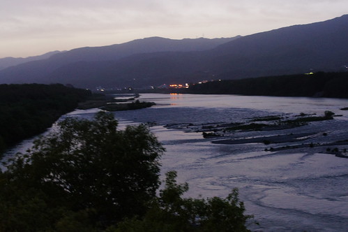
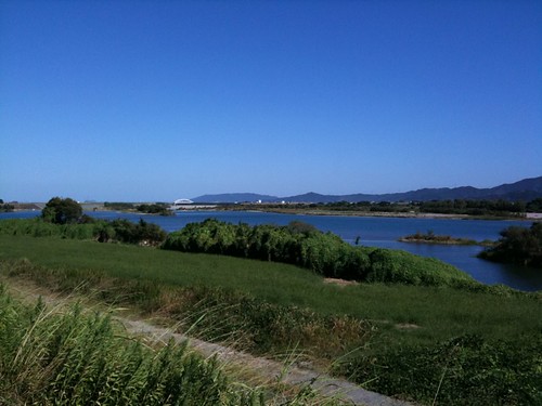
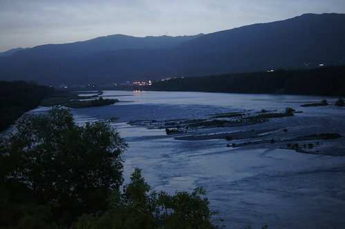
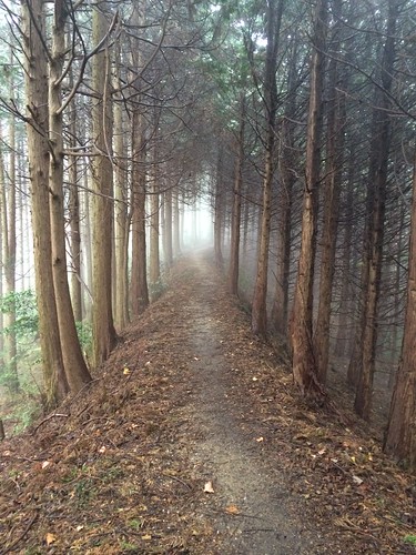
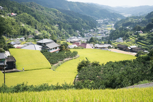
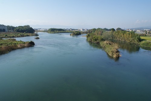
Elevation of Yoshinogawa, Tokushima Prefecture, Japan
Location: Japan > Tokushima Prefecture >
Longitude: 134.259833
Latitude: 34.0256886
Elevation: 129m / 423feet
Barometric Pressure: 100KPa
Related Photos:
Topographic Map of Yoshinogawa, Tokushima Prefecture, Japan
Find elevation by address:

Places in Yoshinogawa, Tokushima Prefecture, Japan:
Hinokuchi-36 Kawashimachōgaku, Yoshinogawa-shi, Tokushima-ken -, Japan
-4 Kamojimachō Jōgejima, Yoshinogawa-shi, Tokushima-ken -, Japan
Places near Yoshinogawa, Tokushima Prefecture, Japan:
Hinokuchi-36 Kawashimachōgaku, Yoshinogawa-shi, Tokushima-ken -, Japan
33 Awachō Taniguchi, Awa-shi, Tokushima-ken -, Japan
Awa
Mima
-4 Kamojimachō Jōgejima, Yoshinogawa-shi, Tokushima-ken -, Japan
Koyadaira
Myozai District
Udatsu
Kamiyama
Kitauetsuno- Jinryō, Kamiyama-chō, Myōzai-gun, Tokushima-ken -, Japan
Inotani-80 Ano, Kamiyama-chō, Myōzai-gun, Tokushima-ken -, Japan
Nishibun- Wakimachi Ōaza Inoshiri, Mima-shi, Tokushima-ken -, Japan
Mitani- Anabukichō Mishima, Mima-shi, Tokushima-ken -, Japan
Deguchi-63-6 Hikino, Kamiita-chō, Itano-gun, Tokushima-ken -, Japan
Ikekita- Takahara, Ishii-chō, Myōzai-gun, Tokushima-ken -, Japan
Kamiita
Hosone-11 Ikumi, Kamikatsu-chō, Katsuura-gun, Tokushima-ken -, Japan
Ishii
Katsuura District
Akemidani-50 Shimo, Sanagouchi-son, Myōdō-gun, Tokushima-ken -, Japan
Recent Searches:
- Elevation of Corso Fratelli Cairoli, 35, Macerata MC, Italy
- Elevation of Tallevast Rd, Sarasota, FL, USA
- Elevation of 4th St E, Sonoma, CA, USA
- Elevation of Black Hollow Rd, Pennsdale, PA, USA
- Elevation of Oakland Ave, Williamsport, PA, USA
- Elevation of Pedrógão Grande, Portugal
- Elevation of Klee Dr, Martinsburg, WV, USA
- Elevation of Via Roma, Pieranica CR, Italy
- Elevation of Tavkvetili Mountain, Georgia
- Elevation of Hartfords Bluff Cir, Mt Pleasant, SC, USA

