Elevation map of Yingde, Qingyuan, Guangdong, China
Location: China > Guangdong > Qingyuan >
Longitude: 113.401701
Latitude: 24.206986
Elevation: -10000m / -32808feet
Barometric Pressure: 295KPa
Elevation Map:
Satellite Map:
Related Photos:

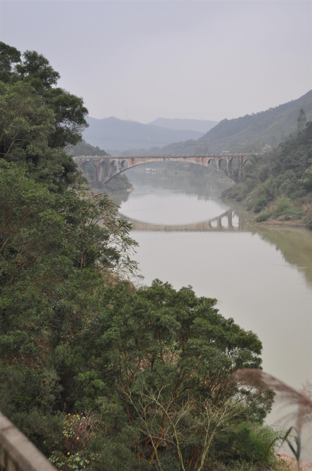
IMG_2882.jpg

DSC01000.JPG

DSC_7748.JPG

IMG_2875.jpg

DSC01018.JPG

DSC_7743.JPG

DSC01092.JPG

英西峰林

DSC01002.JPG

DSC_7758.JPG
DSC_7744.JPG

DSC01005.JPG
Topographic Map of Yingde, Qingyuan, Guangdong, China
Find elevation by address:

Places near Yingde, Qingyuan, Guangdong, China:
Recent Searches:
- Elevation of Corso Fratelli Cairoli, 35, Macerata MC, Italy
- Elevation of Tallevast Rd, Sarasota, FL, USA
- Elevation of 4th St E, Sonoma, CA, USA
- Elevation of Black Hollow Rd, Pennsdale, PA, USA
- Elevation of Oakland Ave, Williamsport, PA, USA
- Elevation of Pedrógão Grande, Portugal
- Elevation of Klee Dr, Martinsburg, WV, USA
- Elevation of Via Roma, Pieranica CR, Italy
- Elevation of Tavkvetili Mountain, Georgia
- Elevation of Hartfords Bluff Cir, Mt Pleasant, SC, USA