Elevation of Yesan-gun, Chungcheongnam-do, South Korea
Location: South Korea > Chungcheongnam-do >
Longitude: 126.848395
Latitude: 36.6826123
Elevation: 45m / 148feet
Barometric Pressure: 101KPa
Elevation Map:
Satellite Map:
Related Photos:

Sinchang Station

Sinchang Station

牙山神井湖水公園 (54).JPG
牙山神井湖水公園 (8).JPG
牙山神井湖水公園 (9).JPG

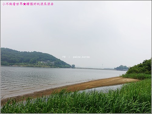
牙山神井湖水公園 (68).JPG

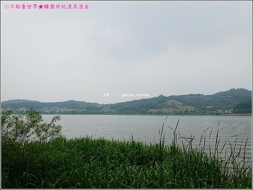
牙山神井湖水公園 (14).JPG

牙山神井湖水公園 (22).JPG
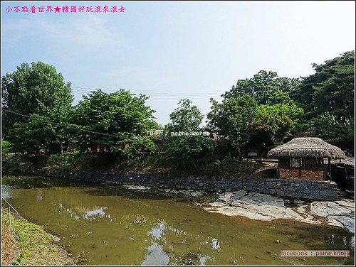
牙山外巖民俗村 (11).JPG

사진 487
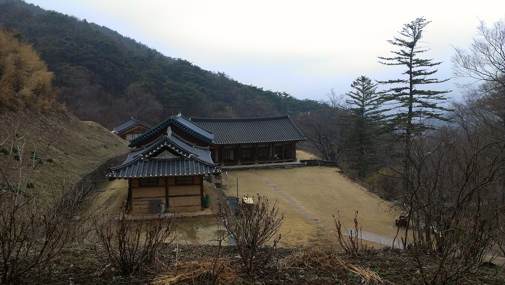
temple from a hill
Topographic Map of Yesan-gun, Chungcheongnam-do, South Korea
Find elevation by address:

Places near Yesan-gun, Chungcheongnam-do, South Korea:
Asan-si
Cheonan-si
Camp Humphreys Commissary
Wonjeong-ri
Camp Humphreys
32 Anjeongsunhwan-ro beon-gil, Paengseong-eup, Pyeongtaek, Gyeonggi-do, South Korea
Camp Humphreys
Pyeongtaek-si
Jangdeung-ri
Osan Air Base Commissary
Osan U.s. Air Force Base
Jeokbong-ri
Songtan
Osong
Osonggarak-ro
Osan-si
Anseong
Suwon-si
Jincheon-gun
Uncheon-dong
Recent Searches:
- Elevation of Corso Fratelli Cairoli, 35, Macerata MC, Italy
- Elevation of Tallevast Rd, Sarasota, FL, USA
- Elevation of 4th St E, Sonoma, CA, USA
- Elevation of Black Hollow Rd, Pennsdale, PA, USA
- Elevation of Oakland Ave, Williamsport, PA, USA
- Elevation of Pedrógão Grande, Portugal
- Elevation of Klee Dr, Martinsburg, WV, USA
- Elevation of Via Roma, Pieranica CR, Italy
- Elevation of Tavkvetili Mountain, Georgia
- Elevation of Hartfords Bluff Cir, Mt Pleasant, SC, USA