Elevation map of Yauyos Province, Peru
Location: Peru > Lima >
Longitude: -75.992765
Latitude: -12.526284
Elevation: 4521m / 14833feet
Barometric Pressure: 58KPa
Elevation Map:
Satellite Map:
Related Photos:

Puente colgante en Zuñiga
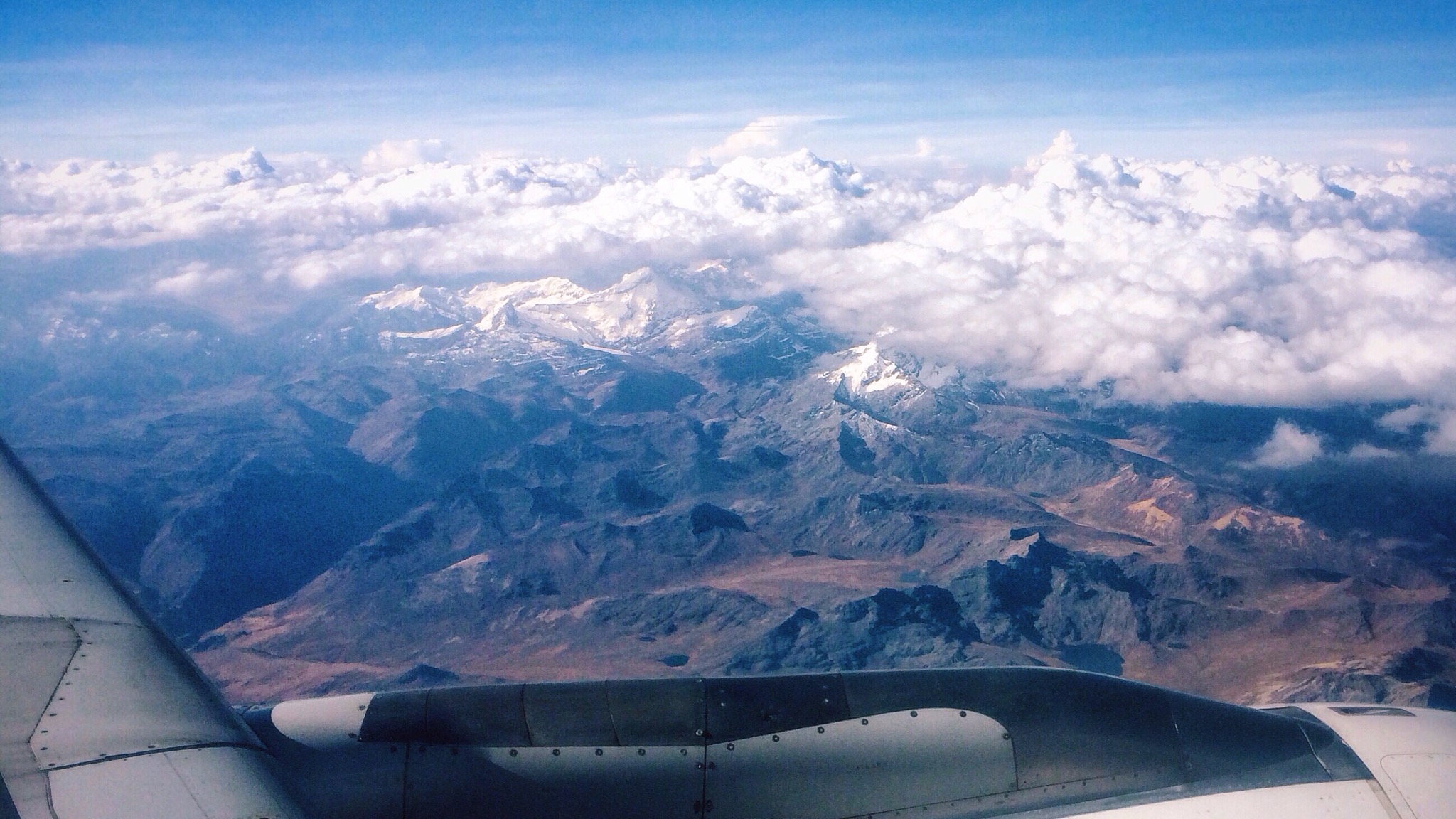
Taking Photos From An Airplane Window

Camino entre sombra
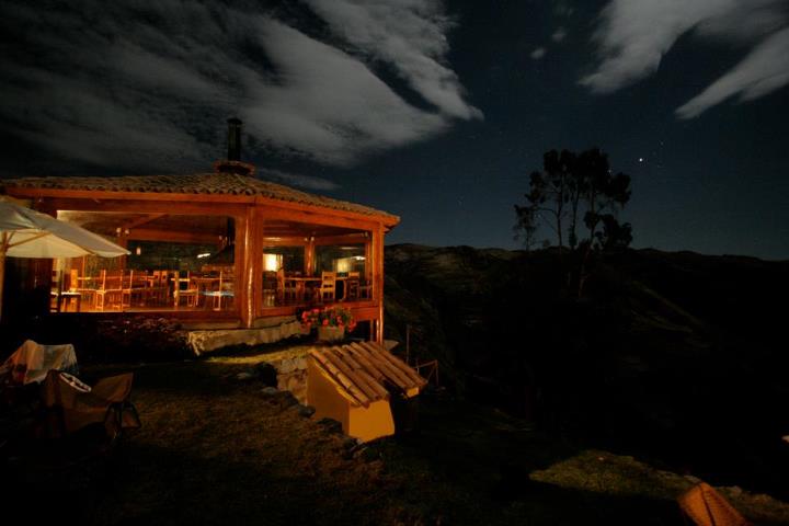
viñak
Topographic Map of Yauyos Province, Peru
Find elevation by address:

Places in Yauyos Province, Peru:
Places near Yauyos Province, Peru:
Lima
Huarochirí Province
San Antonio District
Peru
Matucana
San Mateo
Cieneguilla Country Club
Yauli Province
La Raya
Colegio Santa Rita
Pachacamac District
Pachacamac
Casapalca
Av. San Martin, Peru
Morococha
Lurin
Club Universitario De Deportes
Base Conchan
The Ticlio
Oasis Palace Villa El Salvador Industrial Park
Recent Searches:
- Elevation of Corso Fratelli Cairoli, 35, Macerata MC, Italy
- Elevation of Tallevast Rd, Sarasota, FL, USA
- Elevation of 4th St E, Sonoma, CA, USA
- Elevation of Black Hollow Rd, Pennsdale, PA, USA
- Elevation of Oakland Ave, Williamsport, PA, USA
- Elevation of Pedrógão Grande, Portugal
- Elevation of Klee Dr, Martinsburg, WV, USA
- Elevation of Via Roma, Pieranica CR, Italy
- Elevation of Tavkvetili Mountain, Georgia
- Elevation of Hartfords Bluff Cir, Mt Pleasant, SC, USA