Elevation of Yatesville, GA, USA
Location: United States > Georgia > Upson County >
Longitude: -84.142692
Latitude: 32.9137438
Elevation: 235m / 771feet
Barometric Pressure: 99KPa
Elevation Map:
Satellite Map:
Related Photos:

iPM6 Willow Gate with Fence
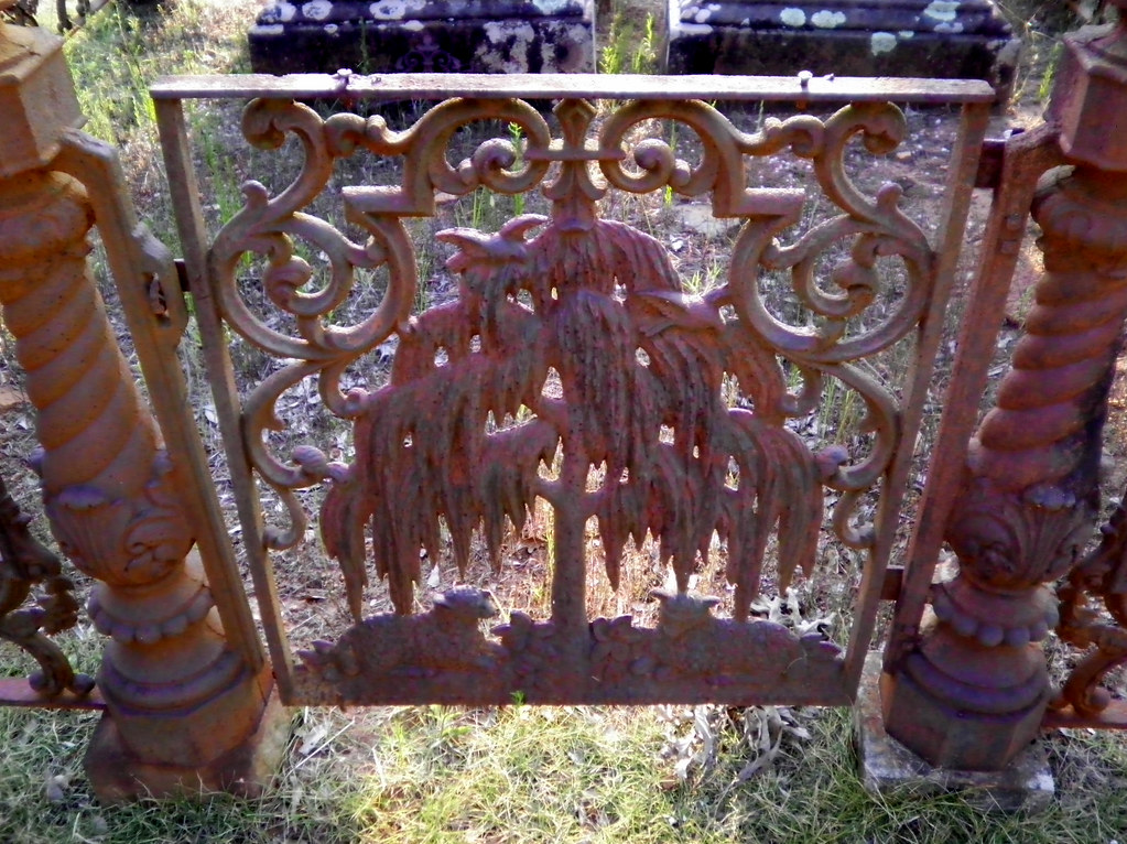
244/365: Willow Gate
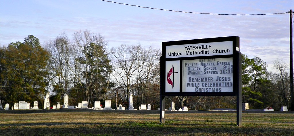
Yatesville United Methodist Church Cemetery
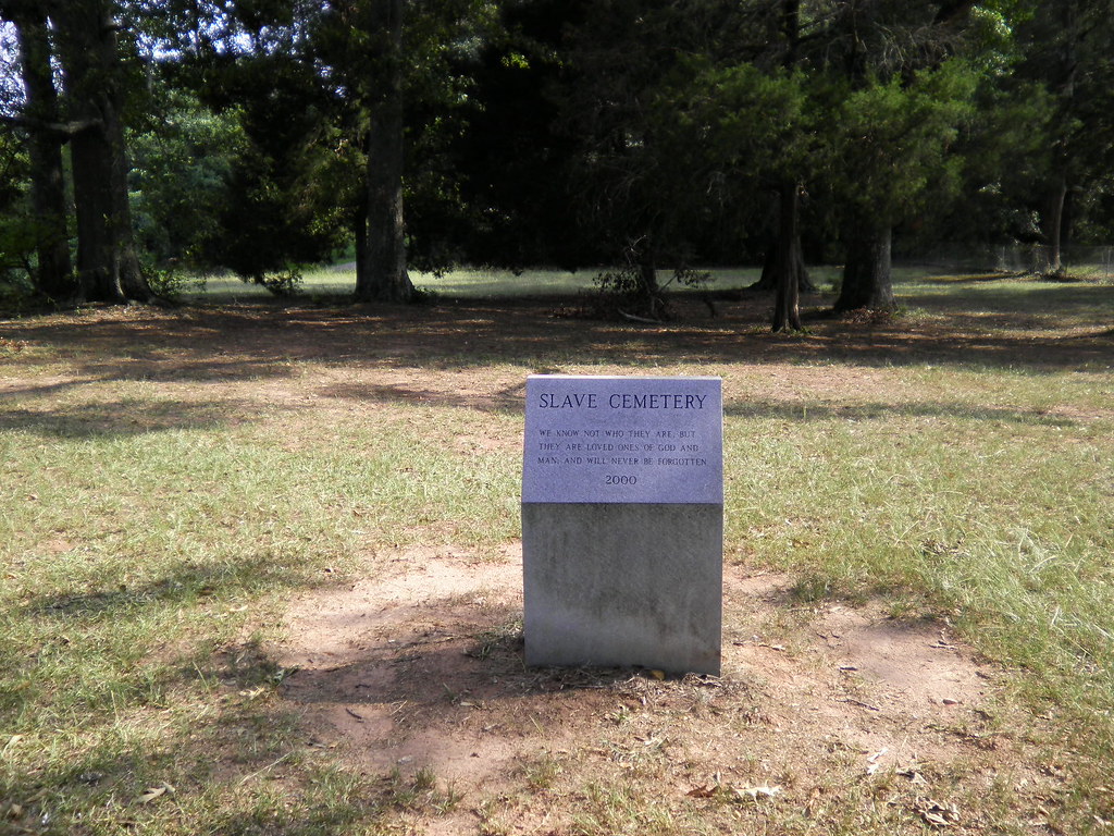
Slave Cemetery

Cunningham Junior High (Yatesville)

Culloden City Cemetery From The Road

Greener Pastures

Today the daffodils danced for me.
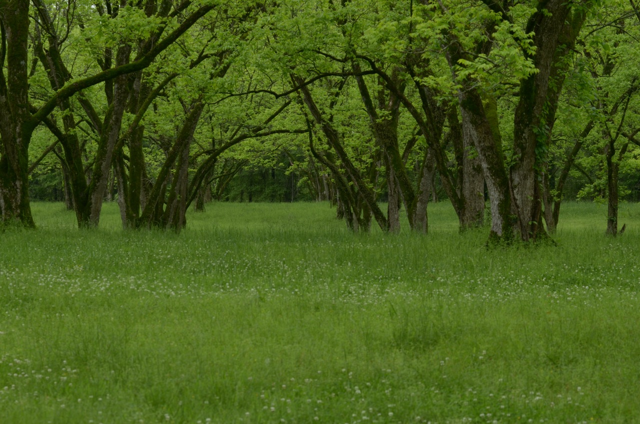
Pecan Orchard in Spring
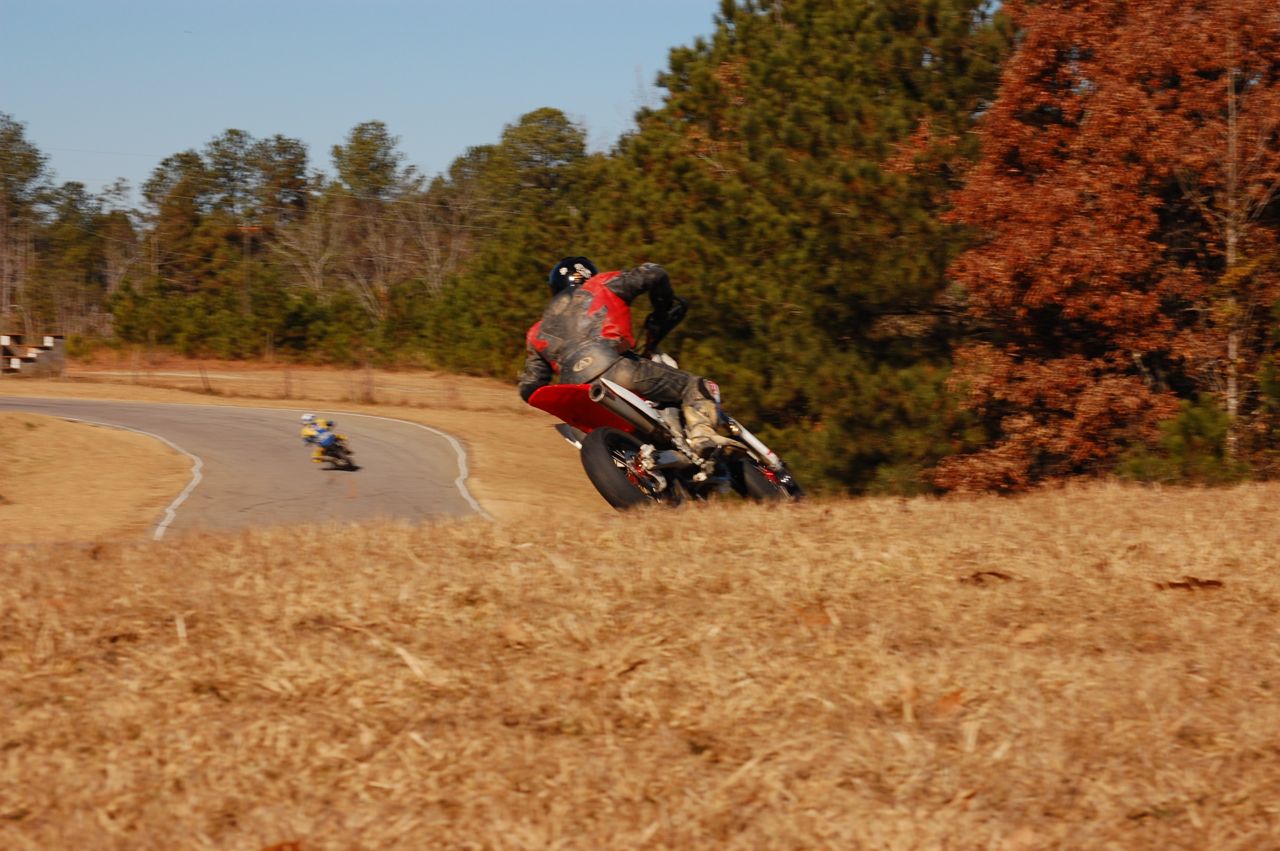
Barnesville Trackday

Cunningham Junior High (Yatesville)
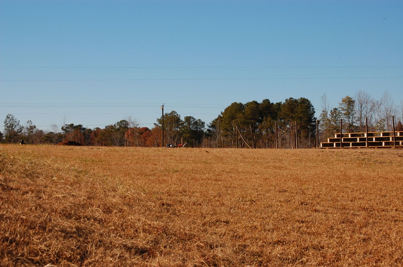
Barnesville Trackday
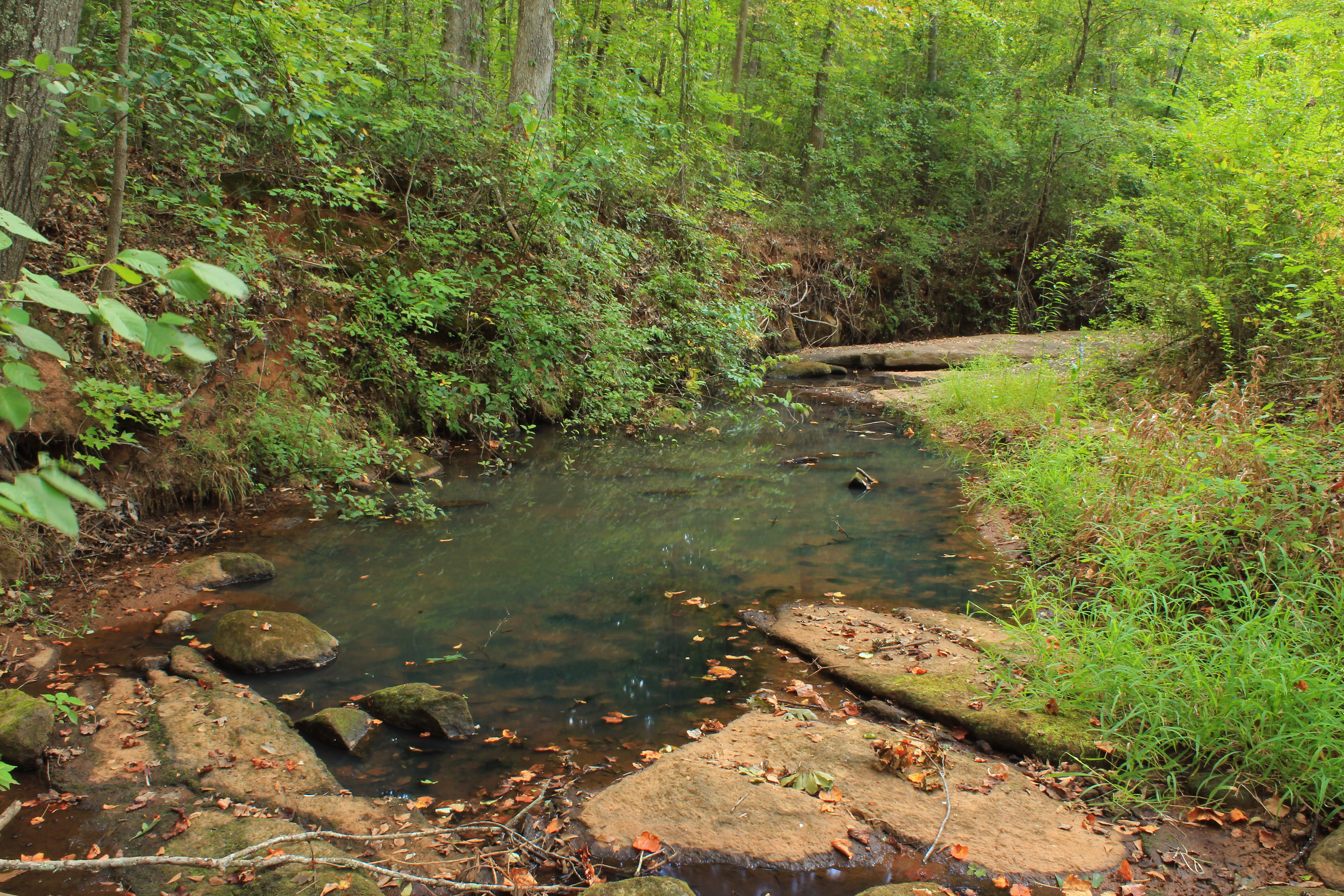
Rose Creek, unit 2, U.S.G.S. sample site, Upson County, Georgia 4

Good morning from Barnesville, GA! We are at the Lamar County Speedway for the Third Annual FSAE Time Trials! Driving starts at 9AM. Be sure to follow us on Instagram and Twitter as the day progresses! #roadtrip #readytowin #nosleeptillMichigan #owlsracin
Topographic Map of Yatesville, GA, USA
Find elevation by address:

Places in Yatesville, GA, USA:
Places near Yatesville, GA, USA:
32 Logtown Rd, Yatesville, GA, USA
5616 Yatesville Hwy
135 Rest Haven Rd
216 Zellner Rd
261 Zellner Rd
1367 Us-341
5020 Barnesville Hwy
Clements Ford Road
694 Davis Rd
Ramah Church Road
The Rock
504 Piedmont Rd
125 Country Kitchen Rd
Carol Lane
Georgia 18
Rogers Circle
Trice Cemetery Rd, Thomaston, GA, USA
227 Roberta Dr
109 Ga-18
Barnesville Highway, Thomaston, GA, USA
Recent Searches:
- Elevation of Corso Fratelli Cairoli, 35, Macerata MC, Italy
- Elevation of Tallevast Rd, Sarasota, FL, USA
- Elevation of 4th St E, Sonoma, CA, USA
- Elevation of Black Hollow Rd, Pennsdale, PA, USA
- Elevation of Oakland Ave, Williamsport, PA, USA
- Elevation of Pedrógão Grande, Portugal
- Elevation of Klee Dr, Martinsburg, WV, USA
- Elevation of Via Roma, Pieranica CR, Italy
- Elevation of Tavkvetili Mountain, Georgia
- Elevation of Hartfords Bluff Cir, Mt Pleasant, SC, USA