Elevation of Yankee River, Southland, New Zealand
Longitude: 167.896098
Latitude: -46.713824
Elevation: 183m / 600feet
Barometric Pressure: 99KPa
Elevation Map:
Satellite Map:
Related Photos:

180º View from Bungaree Hut, Northwest Circuit, Stewart Island, New Zealand

Long Harry Hut
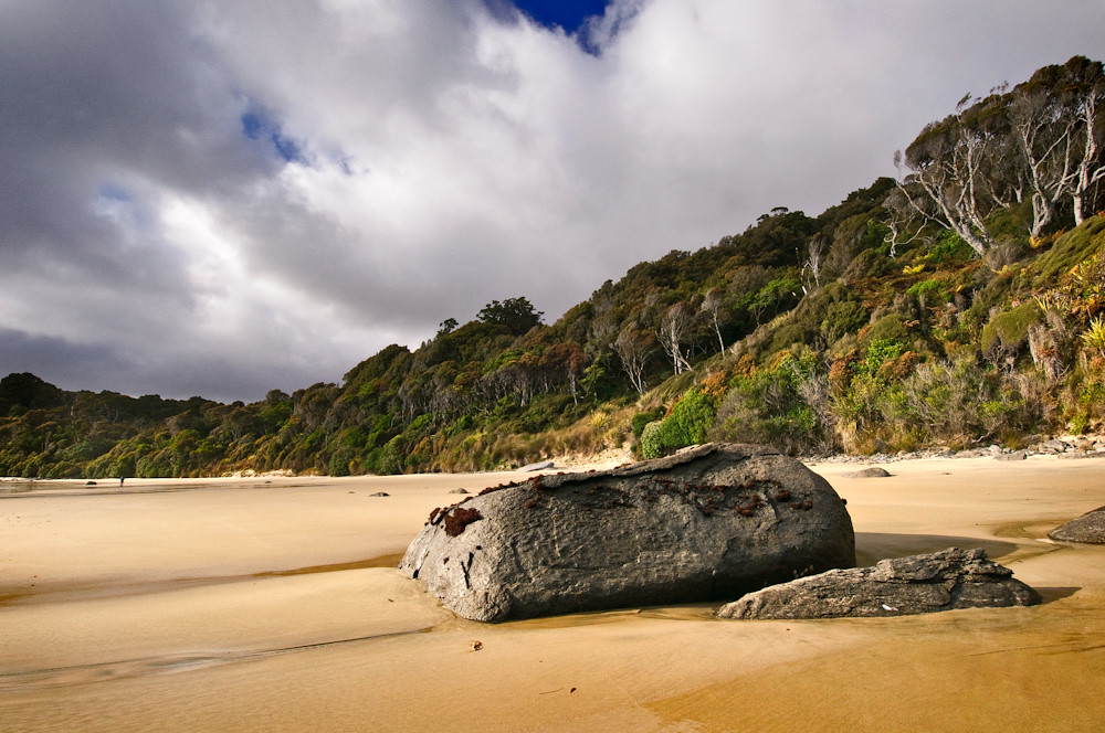
Big Bungaree Beach

Good morning!

Christmas Village Hut
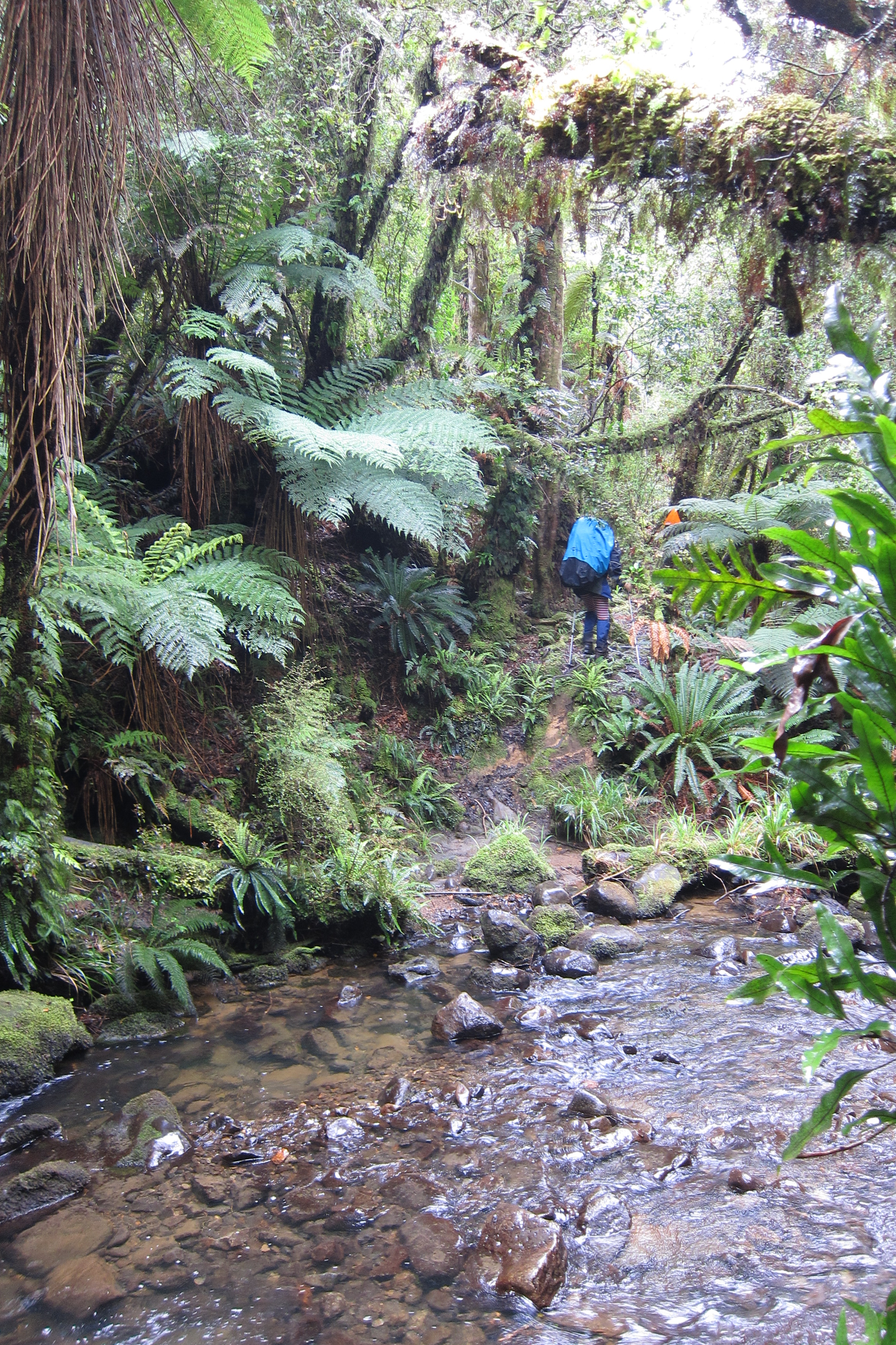
Bush and Stream
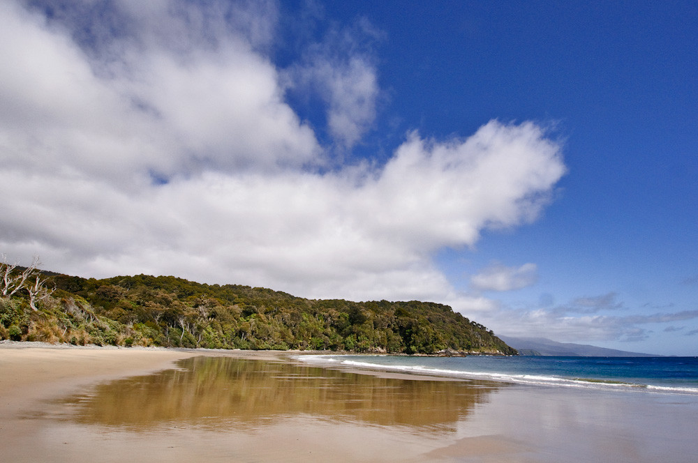
Bungaree Beach, Northwest Circuit, Stewart Island, New Zealand
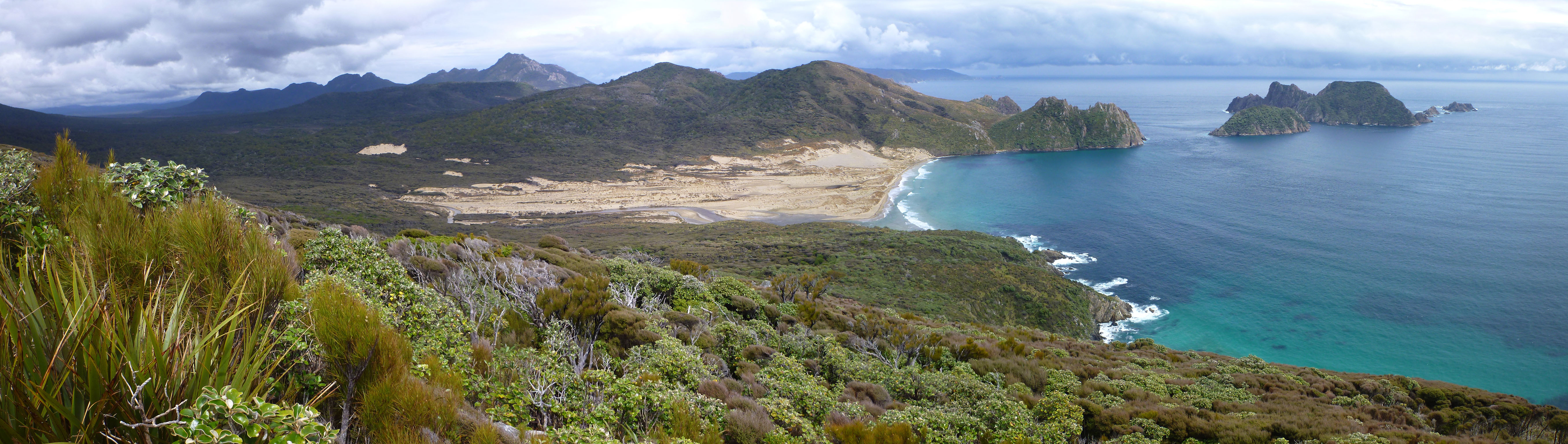
East Ruggedy Panorama
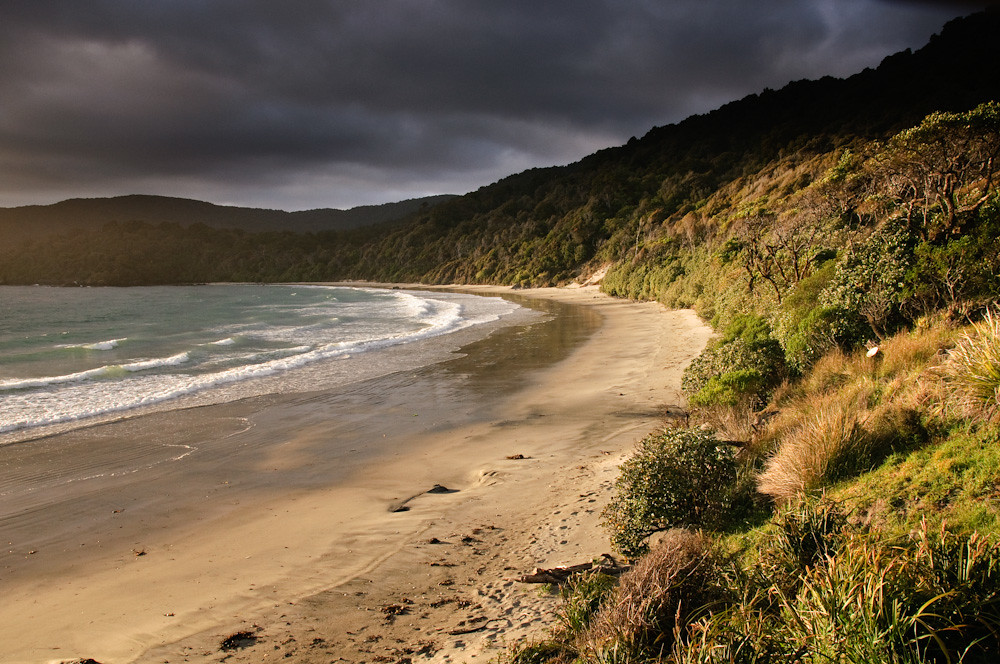
Sawyers Beach, Northwest Circuit, Stewart Island, New Zealand

Stewart Island Sunrise

Food drop
Bungaree Beach, Northwest Circuit, Stewart Island, New Zealand
Murray Beach
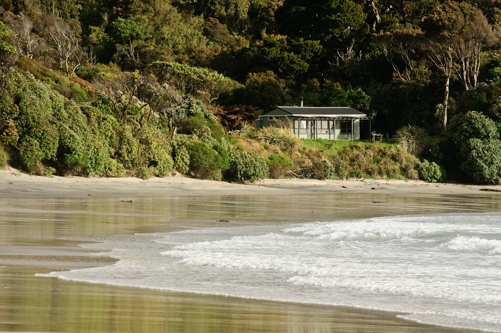
Bungaree Hut, Northwest Circuit, Stewart Island, New Zealand

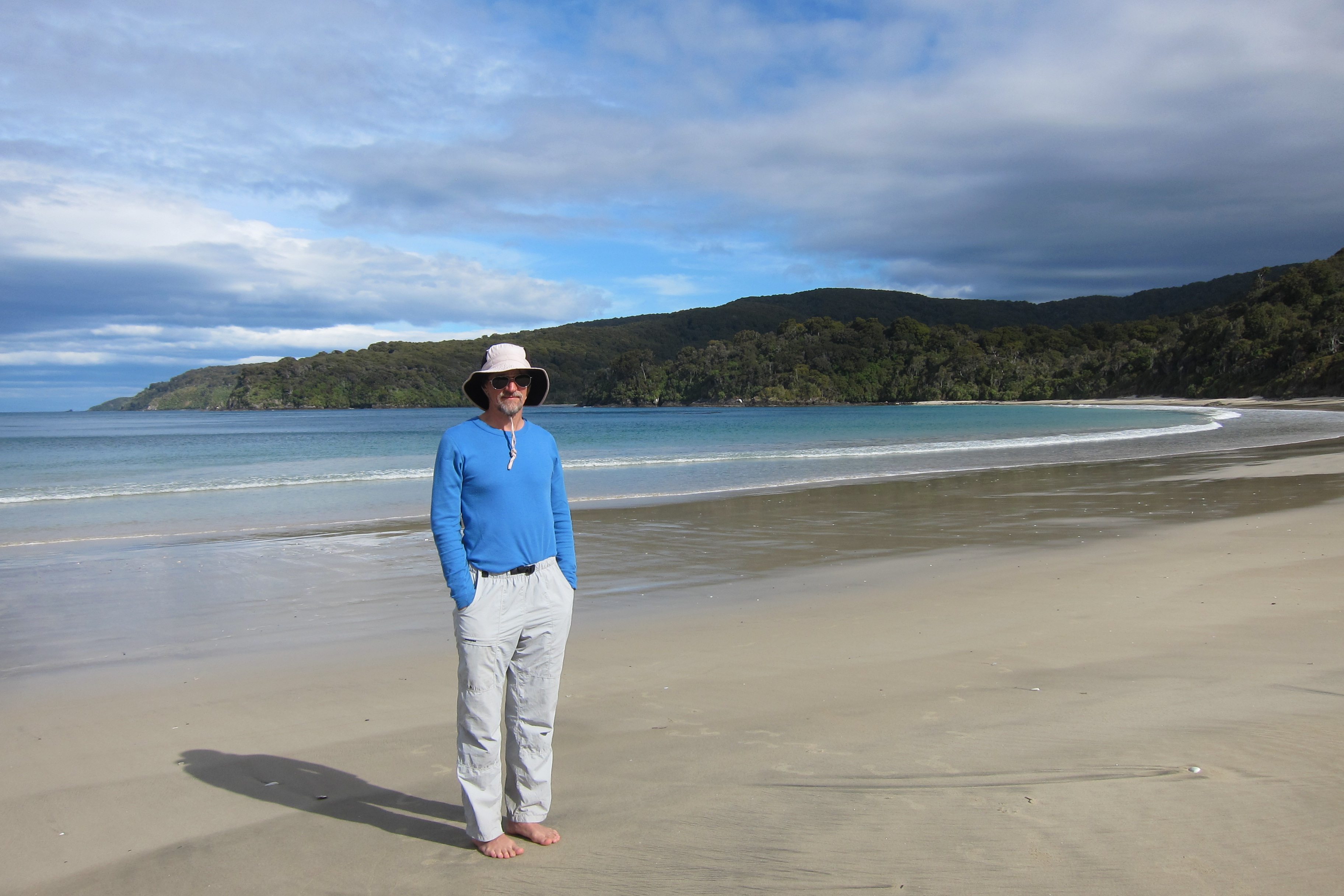
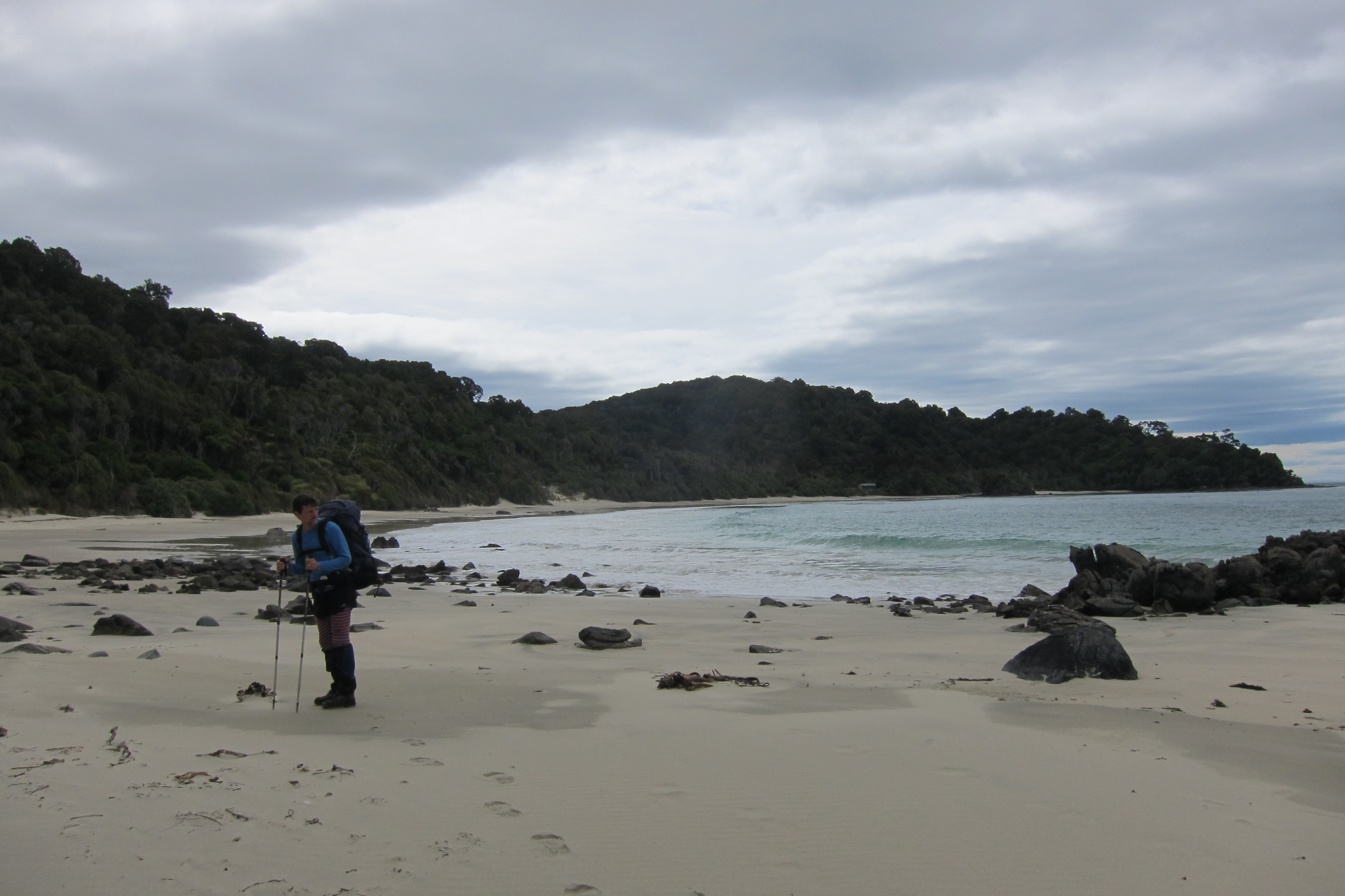
Bungaree Beach, Northwest Circuit, Stewart Island, New Zealand
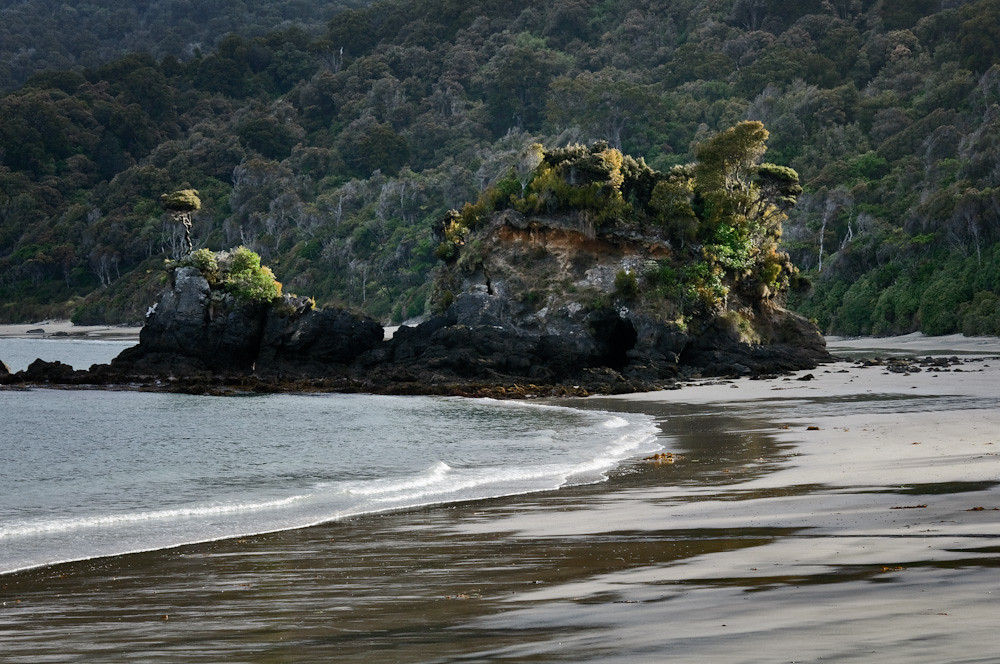
Bungaree Beach, Northwest Circuit, Stewart Island, New Zealand
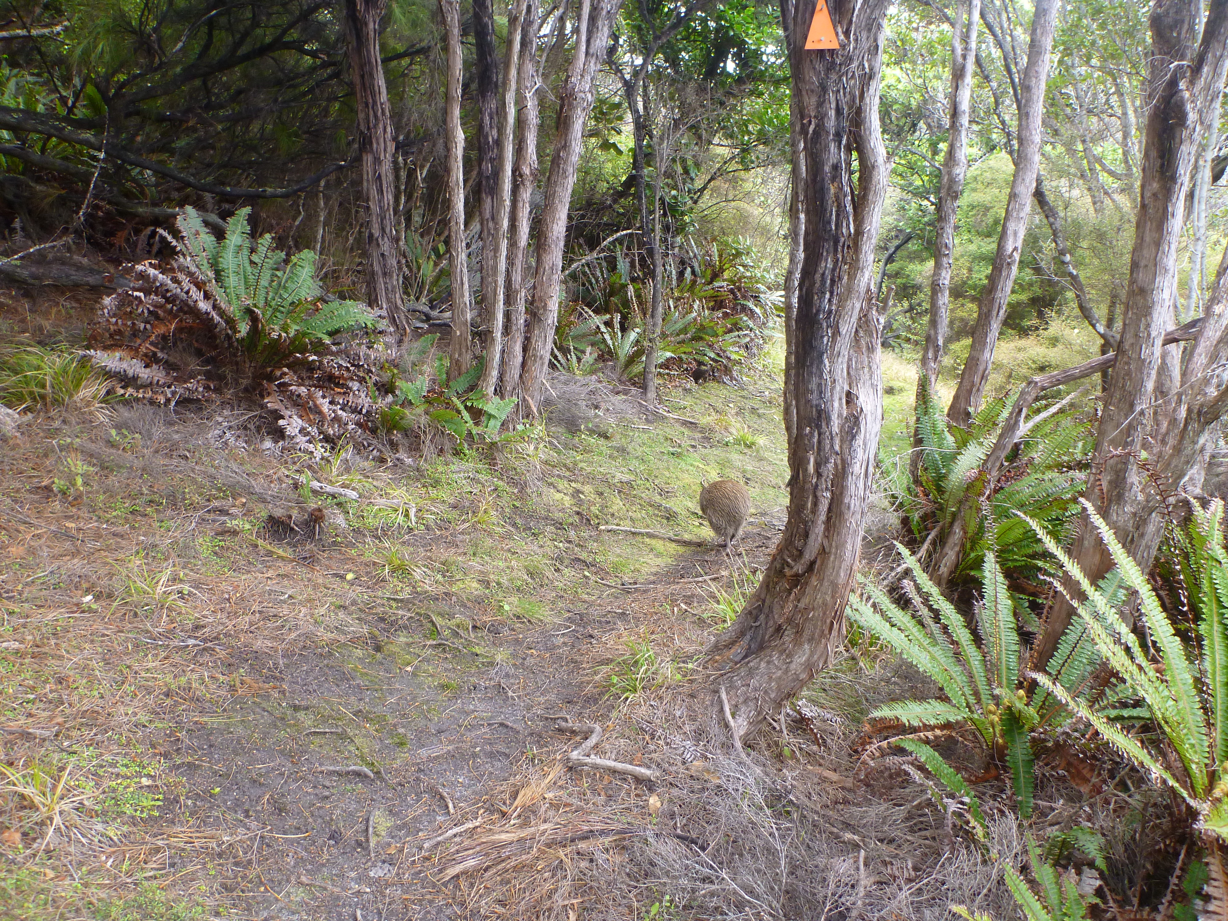
Kiwi!
Boulder Beach

Smoky Beach
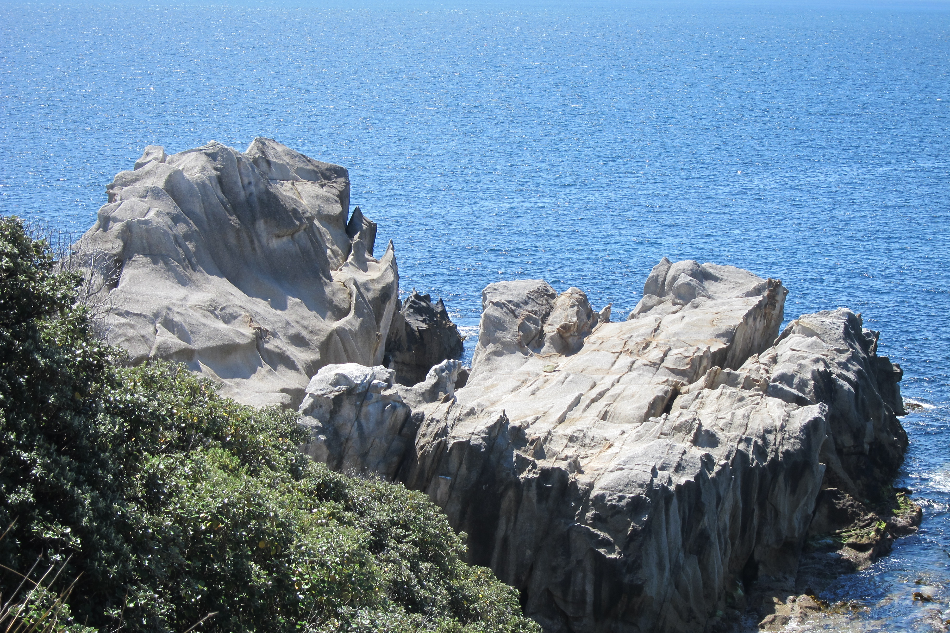
Unnamed Point
Big Bungaree Beach

Bungaree Beach, Northwest Circuit, Stewart Island, New Zealand
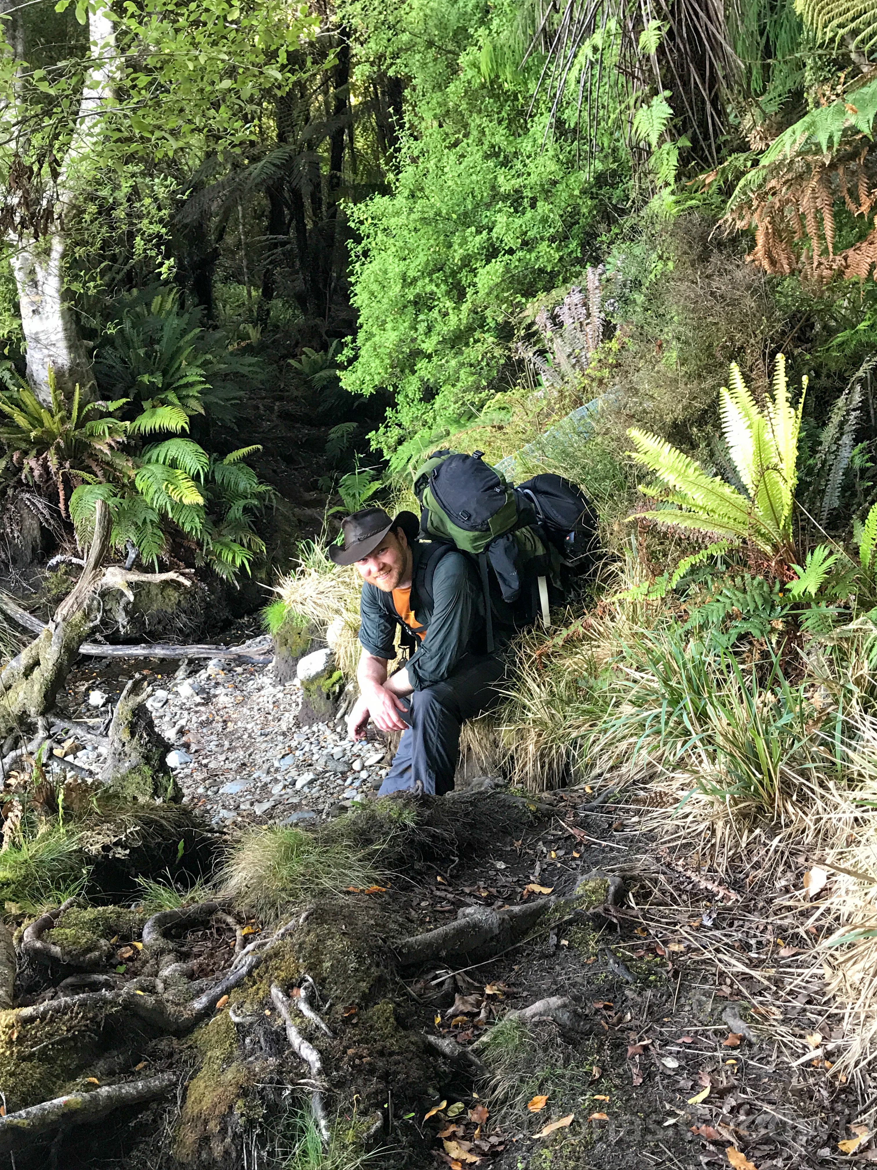
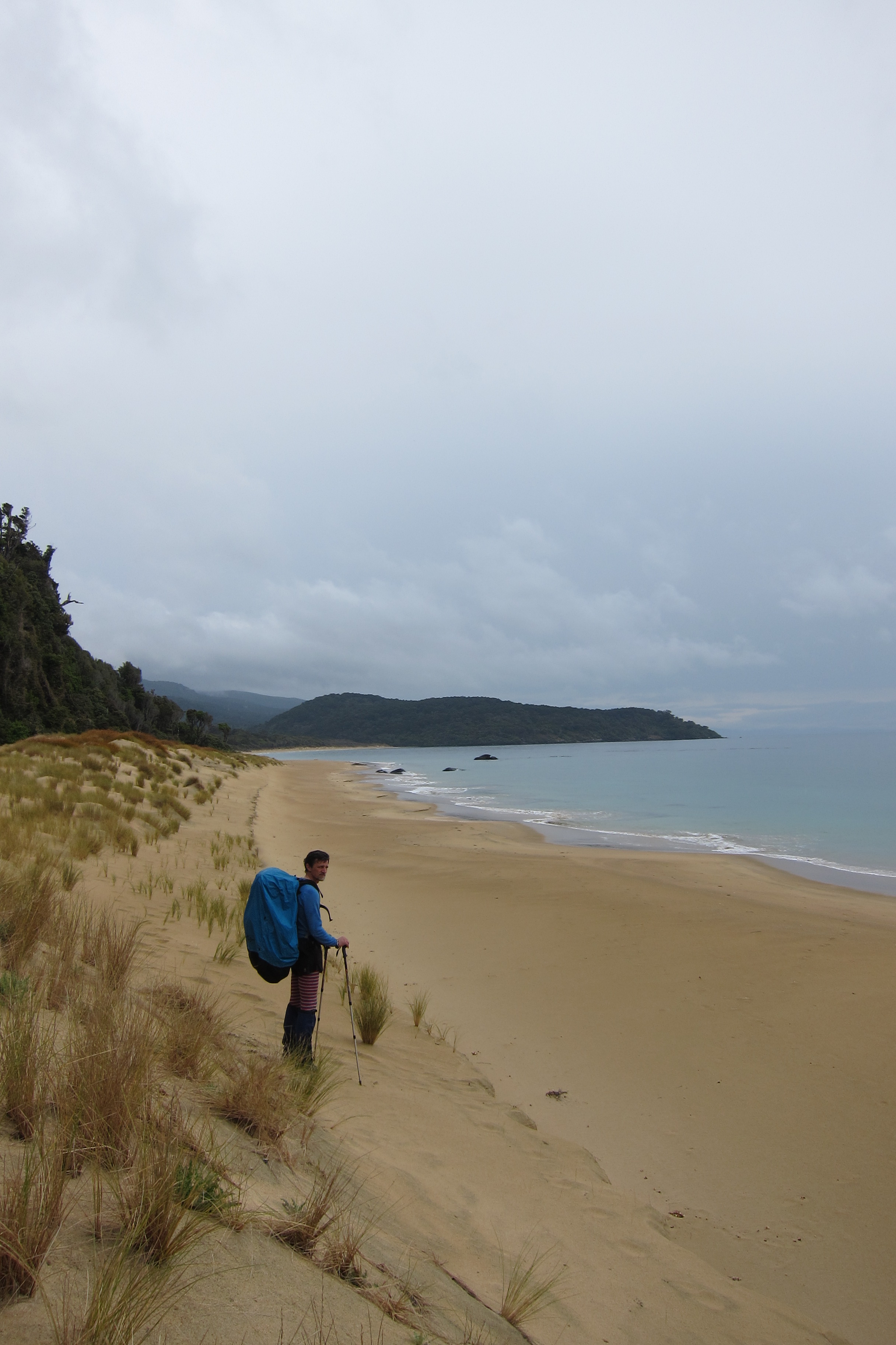
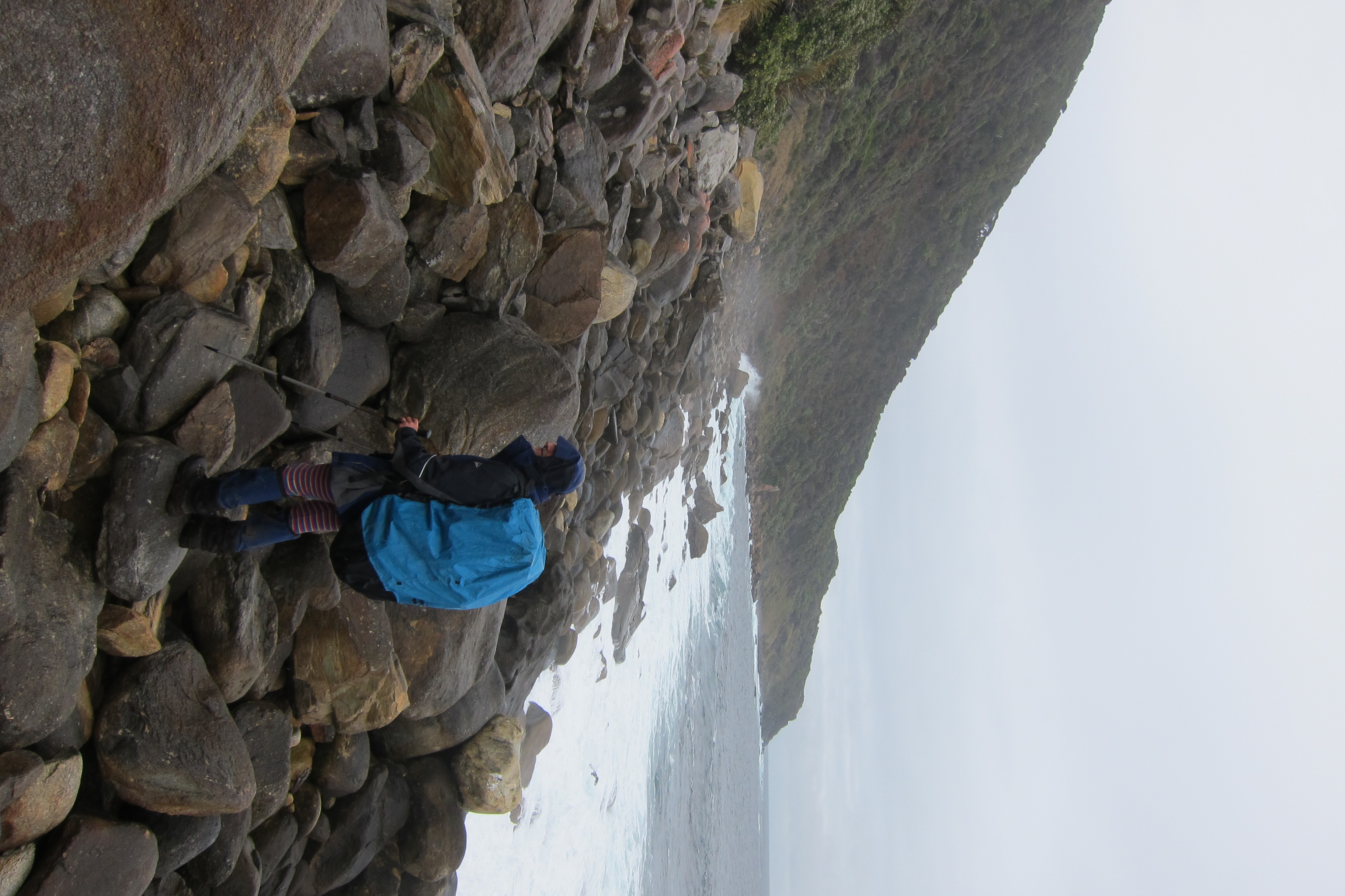
Creek crossing
Topographic Map of Yankee River, Southland, New Zealand
Find elevation by address:

Places near Yankee River, Southland, New Zealand:
Stewart Island / Rakiura
Department Of Conservation - Rakiura National Park Visitor Centre
Three Sisters
Omaui
Oreti Beach
34 Pilcher Ave
29 Rakiura Parade
140 Oreti Road
160 Black Rd
159 Black Rd
Otatara
56 Dunns Road
Clifton
4 Hyde St
2 Armagh St
29 Selwyn St
Appleby
15 Jenkin St
Invercargill
111 Conyers St
Recent Searches:
- Elevation of Corso Fratelli Cairoli, 35, Macerata MC, Italy
- Elevation of Tallevast Rd, Sarasota, FL, USA
- Elevation of 4th St E, Sonoma, CA, USA
- Elevation of Black Hollow Rd, Pennsdale, PA, USA
- Elevation of Oakland Ave, Williamsport, PA, USA
- Elevation of Pedrógão Grande, Portugal
- Elevation of Klee Dr, Martinsburg, WV, USA
- Elevation of Via Roma, Pieranica CR, Italy
- Elevation of Tavkvetili Mountain, Georgia
- Elevation of Hartfords Bluff Cir, Mt Pleasant, SC, USA