Elevation of Yangcheng County, Jincheng, Shanxi, China
Location: China > Shanxi > Jincheng >
Longitude: 112.414738
Latitude: 35.486029
Elevation: 628m / 2060feet
Barometric Pressure: 94KPa
Elevation Map:
Satellite Map:
Related Photos:
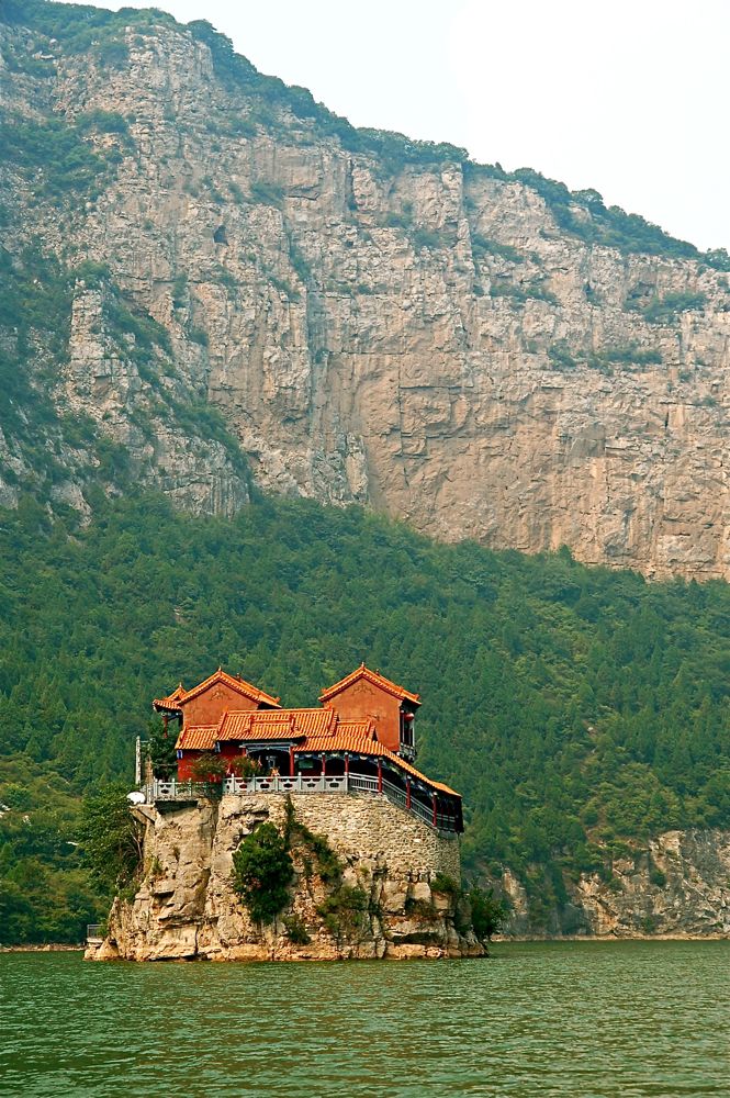
temple on a rock

train on a bridge

LEO-20150829-6972.jpg

LEO-20150829-6970.jpg

LEO-20150829-6857.jpg

@开心地笑是王小锤 @Ace十口 @刘大饼HEAT @为自己代闫_Stanley 发现活动据点,求组团!

Nephew doing home work

guide on a boat

maize on a wall
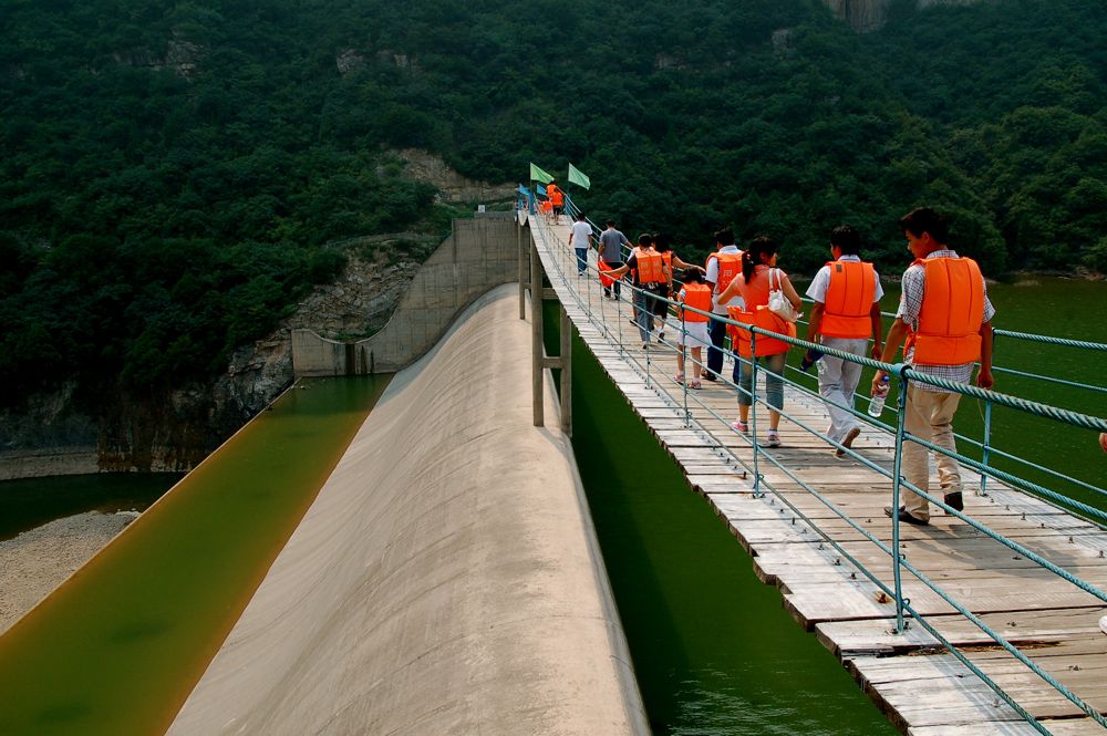
bodies on a bridge

making it old

chip chip chippie

on duty

tower to tower
Topographic Map of Yangcheng County, Jincheng, Shanxi, China
Find elevation by address:

Places in Yangcheng County, Jincheng, Shanxi, China:
Places near Yangcheng County, Jincheng, Shanxi, China:
Recent Searches:
- Elevation of Corso Fratelli Cairoli, 35, Macerata MC, Italy
- Elevation of Tallevast Rd, Sarasota, FL, USA
- Elevation of 4th St E, Sonoma, CA, USA
- Elevation of Black Hollow Rd, Pennsdale, PA, USA
- Elevation of Oakland Ave, Williamsport, PA, USA
- Elevation of Pedrógão Grande, Portugal
- Elevation of Klee Dr, Martinsburg, WV, USA
- Elevation of Via Roma, Pieranica CR, Italy
- Elevation of Tavkvetili Mountain, Georgia
- Elevation of Hartfords Bluff Cir, Mt Pleasant, SC, USA