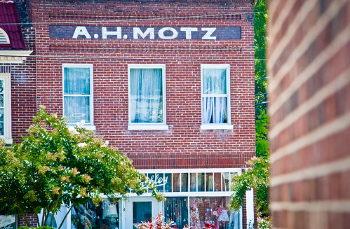
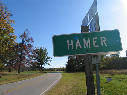
Elevation of Yanceyville, NC, USA
Location: United States > North Carolina > Caswell County > Yanceyville >
Longitude: -79.346555
Latitude: 36.3803903
Elevation: 172m / 564feet
Barometric Pressure: 99KPa
Related Photos:
Topographic Map of Yanceyville, NC, USA
Find elevation by address:

Places near Yanceyville, NC, USA:
1446 Hatchett Rd
Main St, Yanceyville, NC, USA
Yanceyville
599 Lake Pointe Dr
749 Main St
748 Main St
Fresenius Kidney Care Caswell
1253 Main St
Cherokee Scout Reservation
Yanceyville
Caswell County
Old State Hwy, Yanceyville, NC, USA
1771 Slade Rd
172 Gunn Ln
3601 Cherry Grove Rd
Allison Rd, Pelham, NC, USA
NC-, Reidsville, NC, USA
Locust Hill
1417 Zimmerman Rd
Baynes Rd, Burlington, NC, USA
Recent Searches:
- Elevation of Corso Fratelli Cairoli, 35, Macerata MC, Italy
- Elevation of Tallevast Rd, Sarasota, FL, USA
- Elevation of 4th St E, Sonoma, CA, USA
- Elevation of Black Hollow Rd, Pennsdale, PA, USA
- Elevation of Oakland Ave, Williamsport, PA, USA
- Elevation of Pedrógão Grande, Portugal
- Elevation of Klee Dr, Martinsburg, WV, USA
- Elevation of Via Roma, Pieranica CR, Italy
- Elevation of Tavkvetili Mountain, Georgia
- Elevation of Hartfords Bluff Cir, Mt Pleasant, SC, USA


