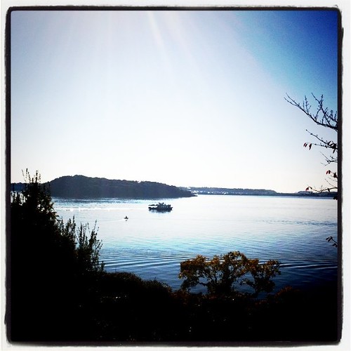
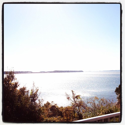
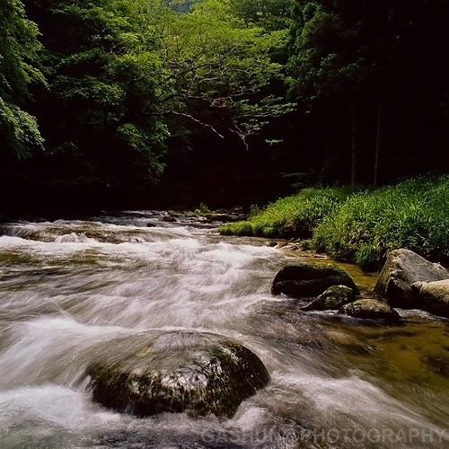
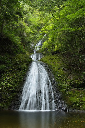
Elevation of Yakushimae-6 Niwano, Shinshiro-shi, Aichi-ken -, Japan
Location: Japan > Aichi Prefecture > Shinshiro >
Longitude: 137.516477
Latitude: 34.8827738
Elevation: 107m / 351feet
Barometric Pressure: 100KPa
Related Photos:
Topographic Map of Yakushimae-6 Niwano, Shinshiro-shi, Aichi-ken -, Japan
Find elevation by address:

Places near Yakushimae-6 Niwano, Shinshiro-shi, Aichi-ken -, Japan:
Tsubo-46 Kuroda, Shinshiro-shi, Aichi-ken -, Japan
Mawatari-17 Hiyoshi, Shinshiro-shi, Aichi-ken -, Japan
Shinshiro
Tomizawa, Shinshiro-shi, Aichi-ken -, Japan
Kakibara-10 Yoshikawa, Shinshiro-shi, Aichi-ken -, Japan
Nishimonzawa-51 Tomioka, Shinshiro-shi, Aichi-ken -, Japan
Sanemori-18 Hitokuwada, Shinshiro-shi, Aichi-ken -, Japan
Toida-56 Hiyoshi, Shinshiro-shi, Aichi-ken -, Japan
Takehiro, Shinshiro-shi, Aichi-ken -, Japan
Kentoku-24 Noda, Shinshiro-shi, Aichi-ken -, Japan
Tokusada, Shinshiro-shi, Aichi-ken -, Japan
-5 Toyosaka, Shinshiro-shi, Aichi-ken -, Japan
Kuroguchi-37 Ushigura, Shinshiro-shi, Aichi-ken -, Japan
2 Chome-2-11 Midorigaoka, Shinshiro-shi, Aichi-ken -, Japan
平山地区コミュニティセンター
697 Mikkabichō Hirayama
Itayazōre-8 Norimoto, Shinshiro-shi, Aichi-ken -, Japan
Kamihora- Takenowa, Shinshiro-shi, Aichi-ken -, Japan
Nagahata- Yokogawa, Shinshiro-shi, Aichi-ken -, Japan
Umedaira-18 Tsukudetashiro, Shinshiro-shi, Aichi-ken -, Japan
Recent Searches:
- Elevation of Corso Fratelli Cairoli, 35, Macerata MC, Italy
- Elevation of Tallevast Rd, Sarasota, FL, USA
- Elevation of 4th St E, Sonoma, CA, USA
- Elevation of Black Hollow Rd, Pennsdale, PA, USA
- Elevation of Oakland Ave, Williamsport, PA, USA
- Elevation of Pedrógão Grande, Portugal
- Elevation of Klee Dr, Martinsburg, WV, USA
- Elevation of Via Roma, Pieranica CR, Italy
- Elevation of Tavkvetili Mountain, Georgia
- Elevation of Hartfords Bluff Cir, Mt Pleasant, SC, USA

