Elevation map of Wuyuan, Shangrao, Jiangxi, China
Location: China > Jiangxi > Shangrao >
Longitude: 117.861797
Latitude: 29.248085
Elevation: 75m / 246feet
Barometric Pressure: 100KPa
Elevation Map:
Satellite Map:
Related Photos:
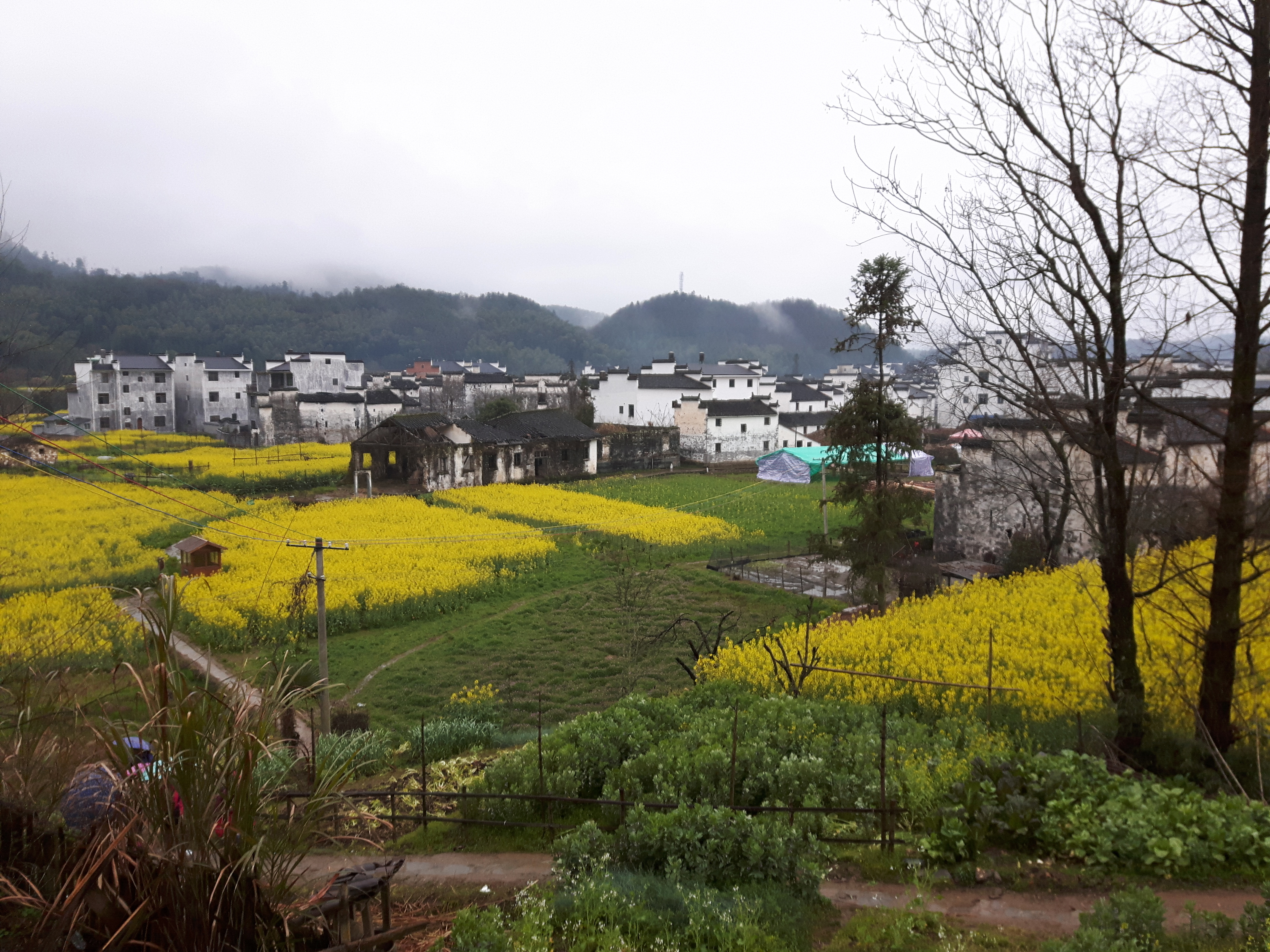
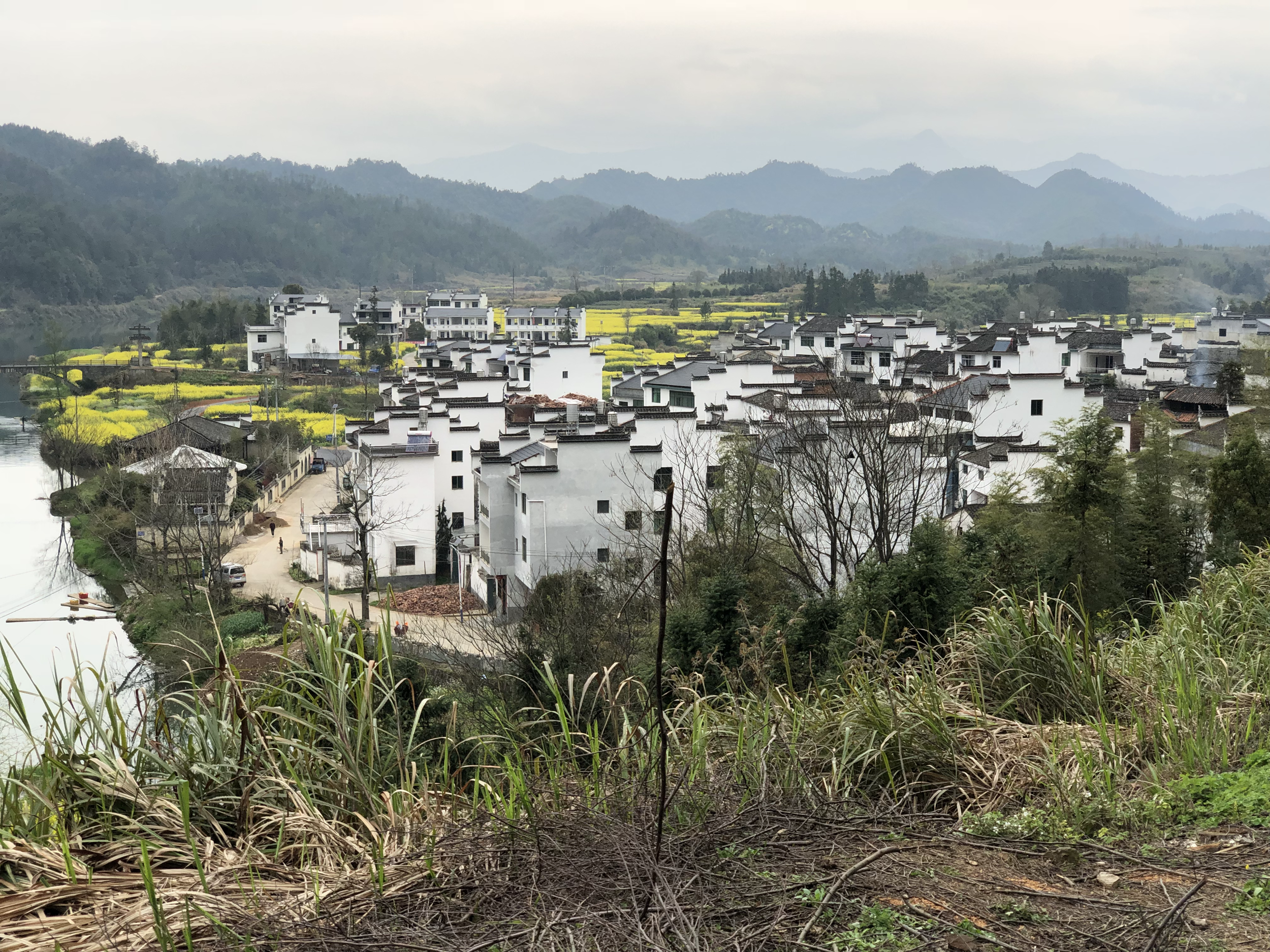
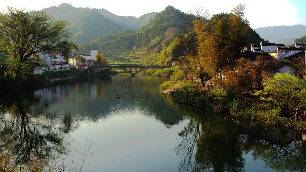
View over Yan Village, 18.03.2017.

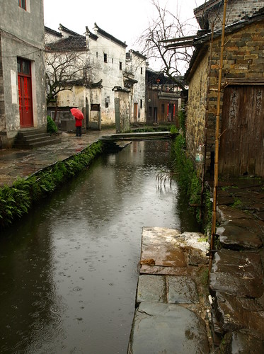
Likeng 李坑, Wuyuan 婺源
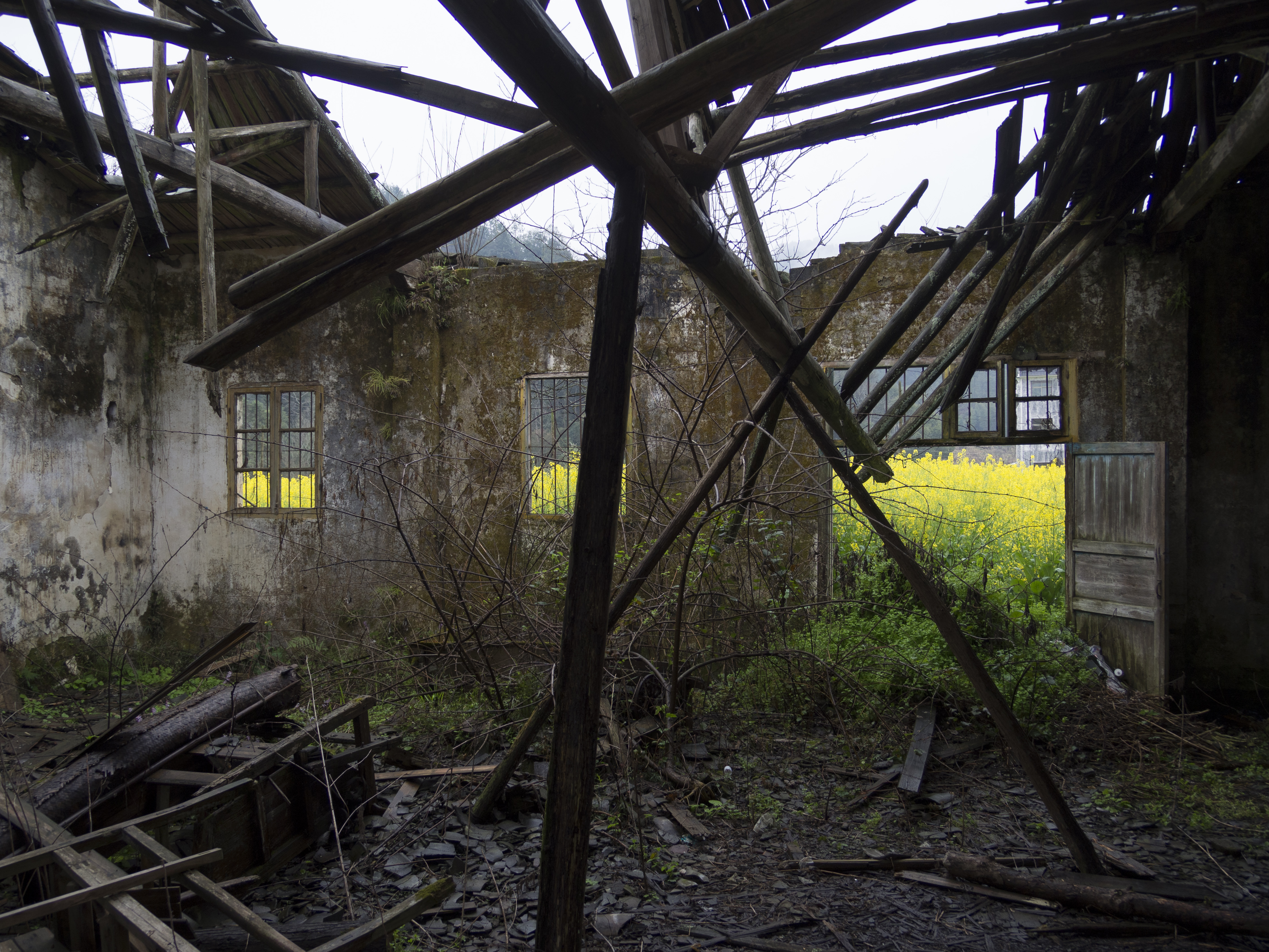
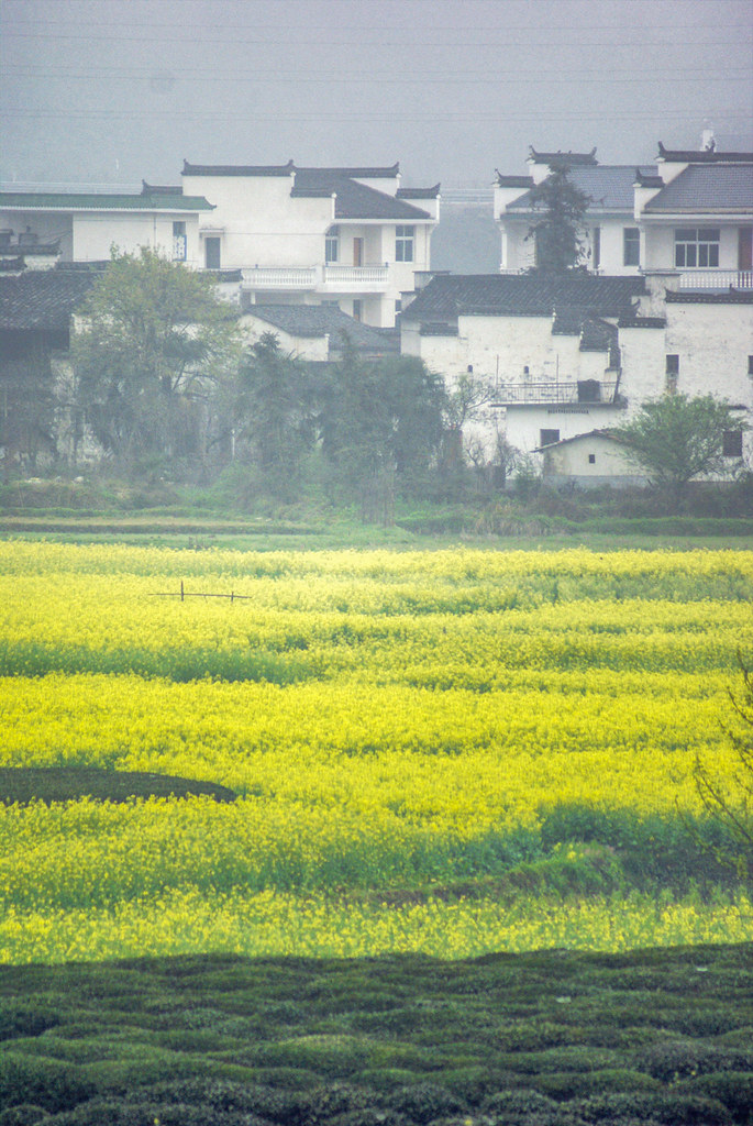
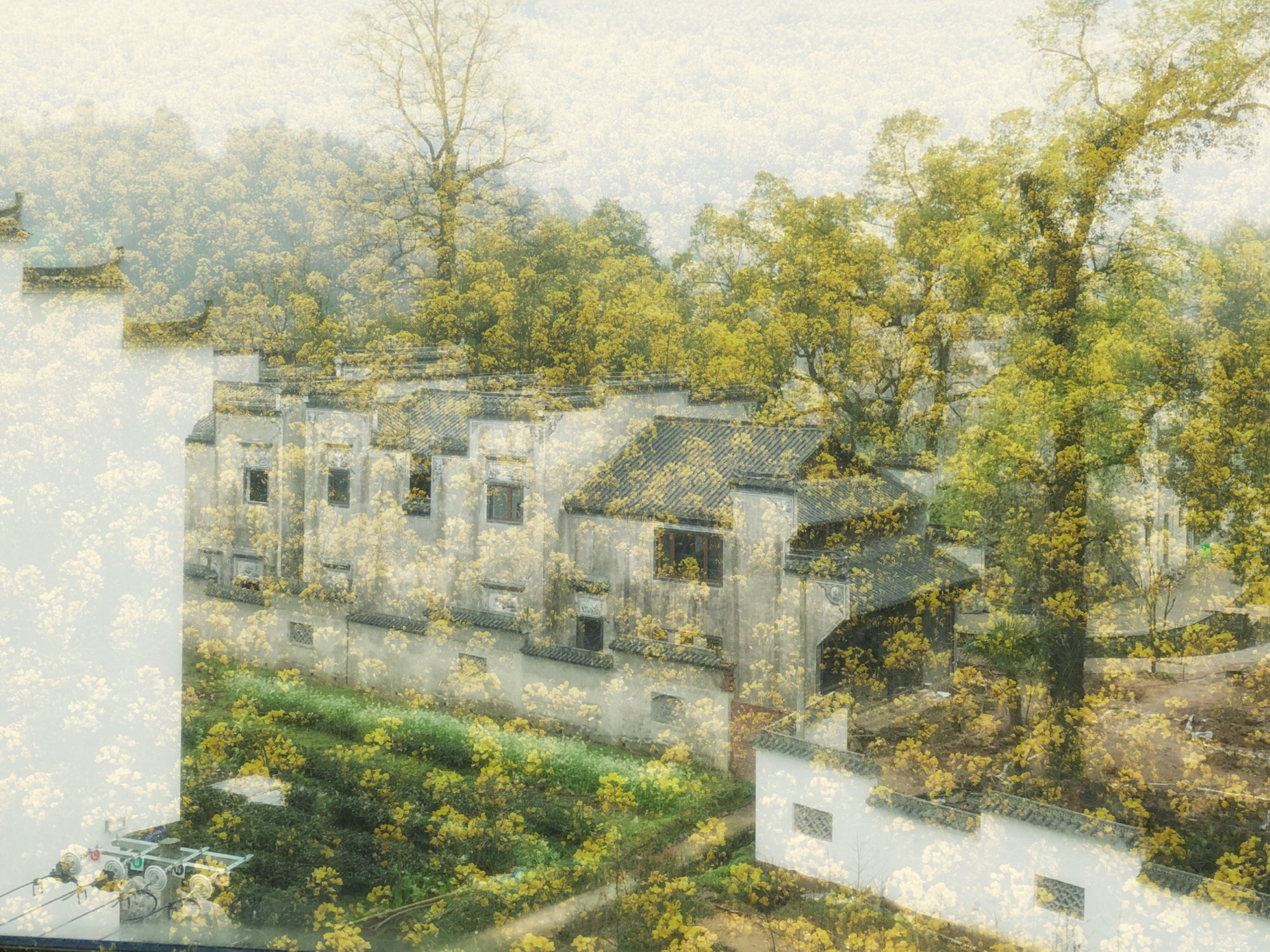
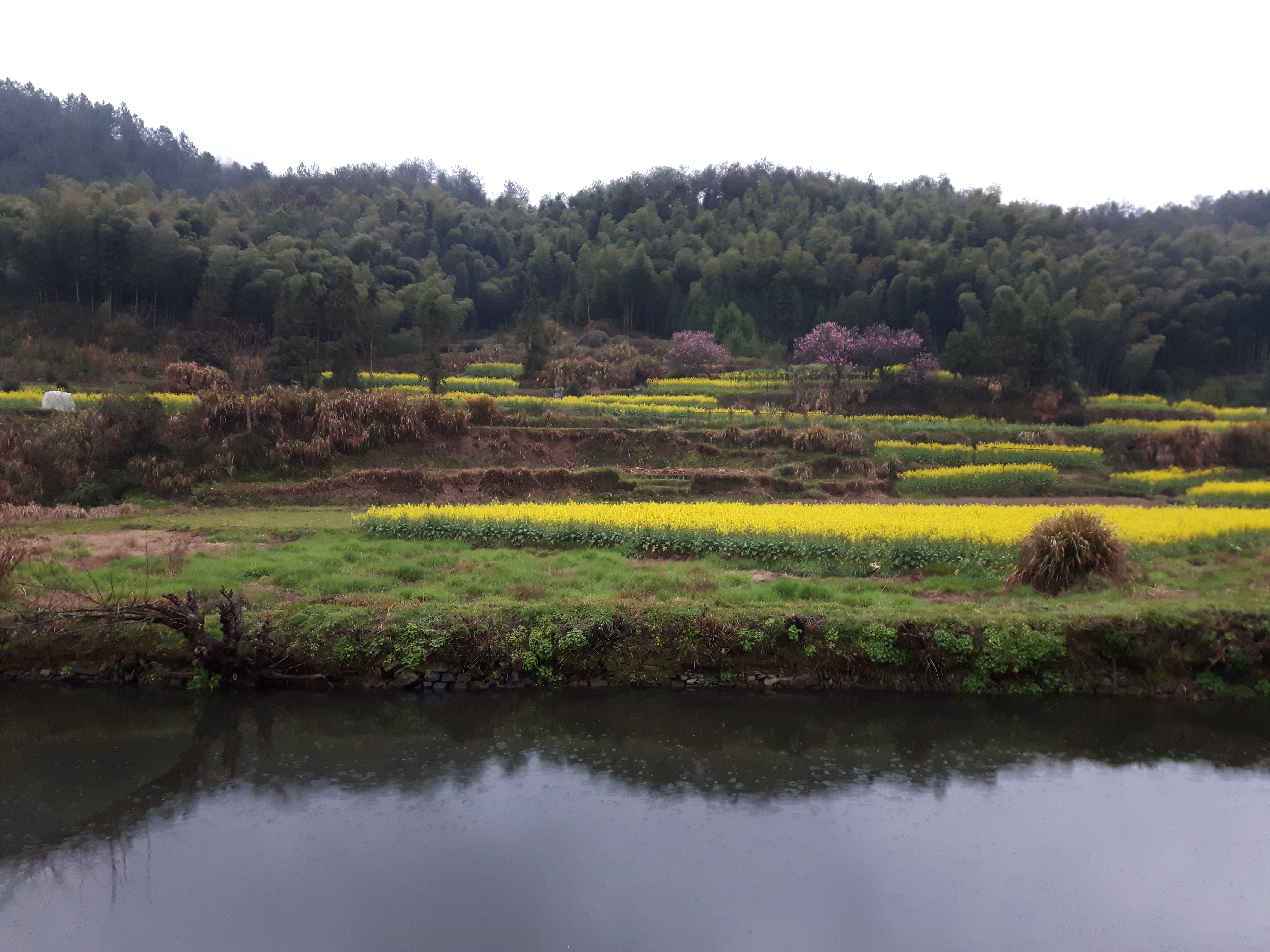
View through the abandoned building to the rape field, 19.03.2017.
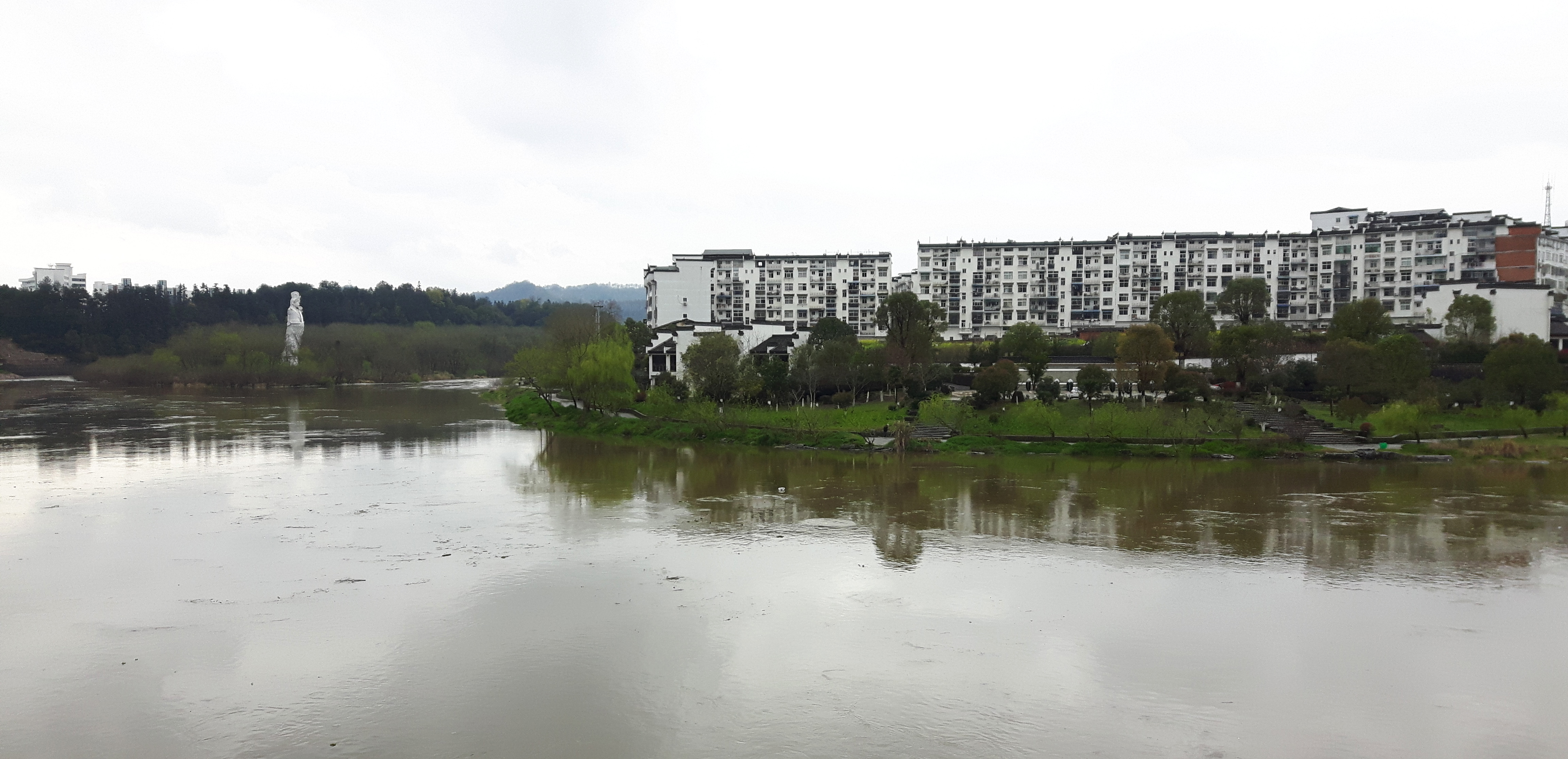
View to the statue, 20.03.2017.
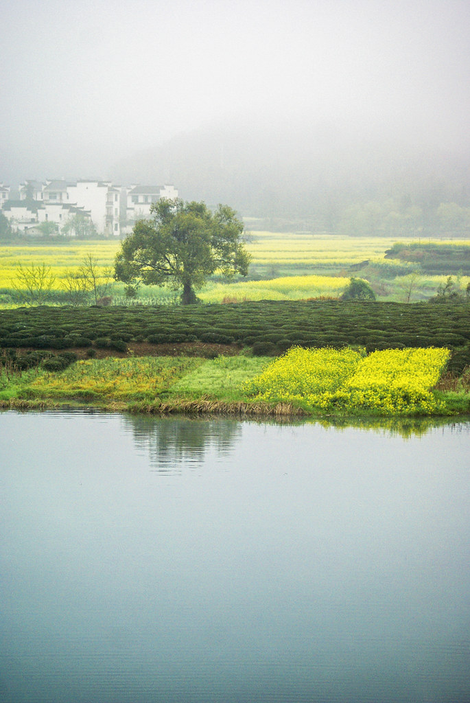
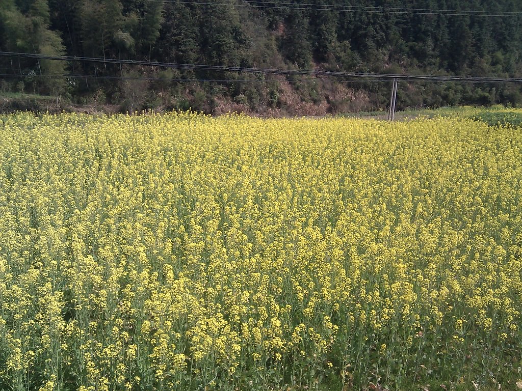
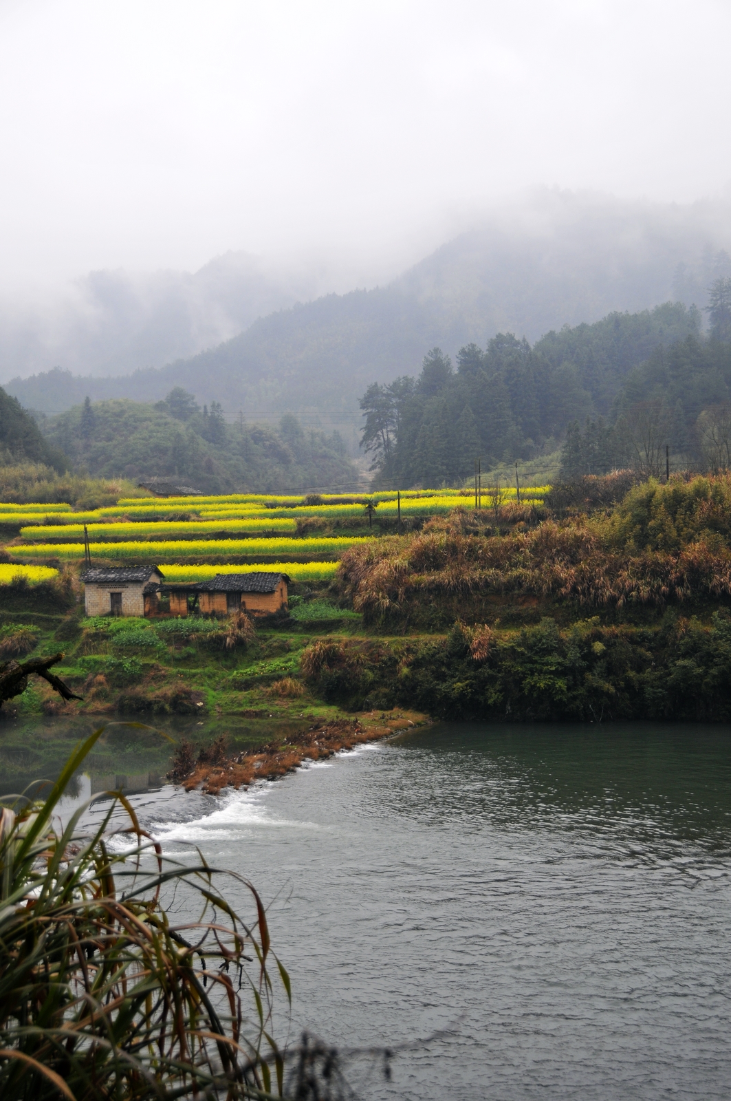
Flower field in the mist
Flower field in the mist
我在婺源

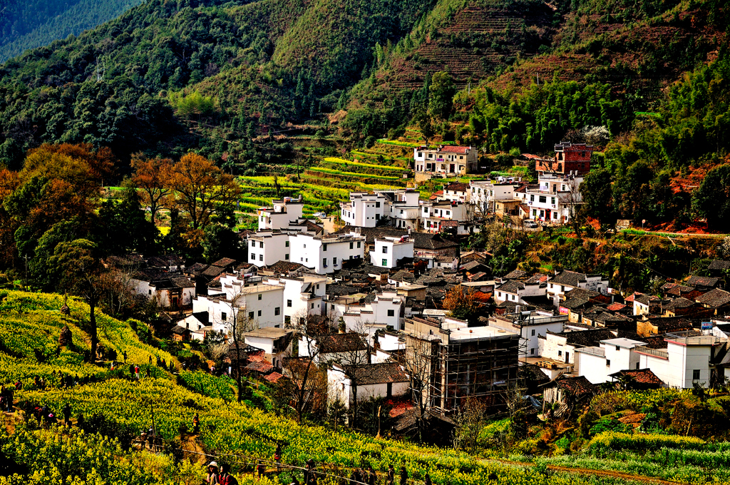
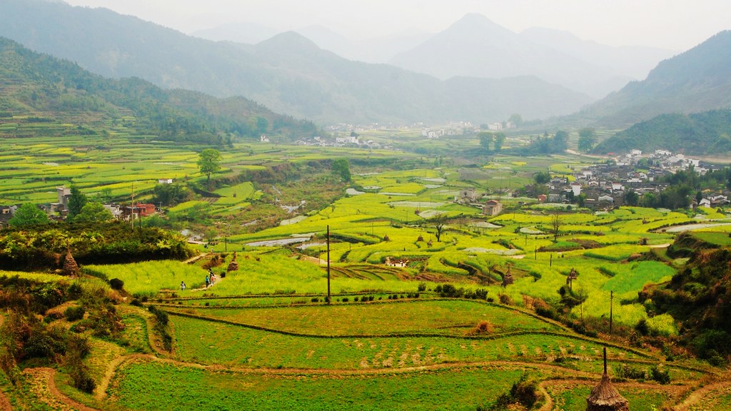
Village in Terrace with moring fog
#????#婺源#月亮湾#江西#vsco#vscocam#latergram#iphoneonly

Village in Terrace with moring fog
Village among the hills
所有照片-8519
所有照片-8489
20070331-IMG_2689

春遊月亮灣
石城山
20070330-IMG_2606
20090327-075

婺源
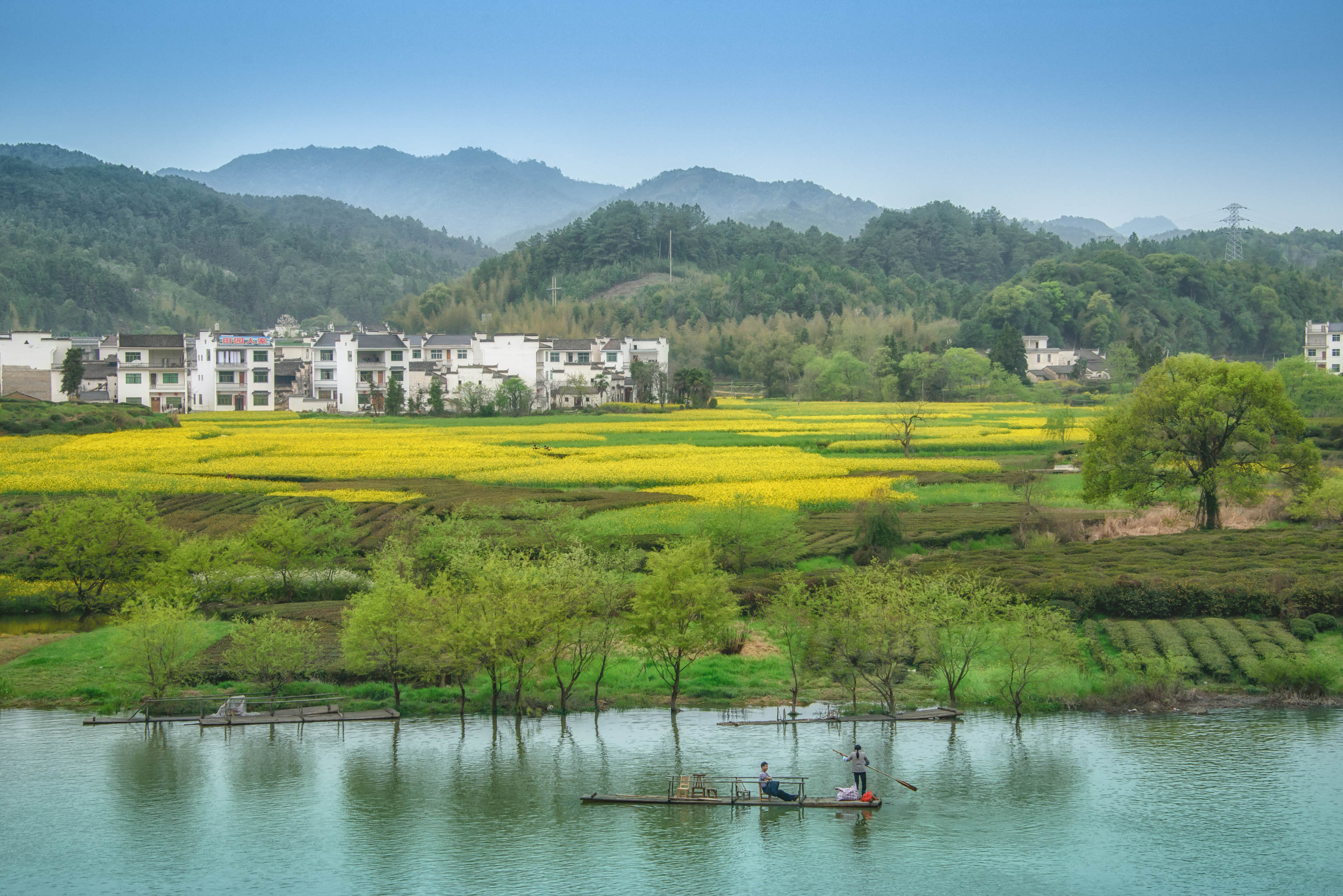
Terrace gardens, 18.03.2017.
DSC_0506-編輯
_DSC0878-1

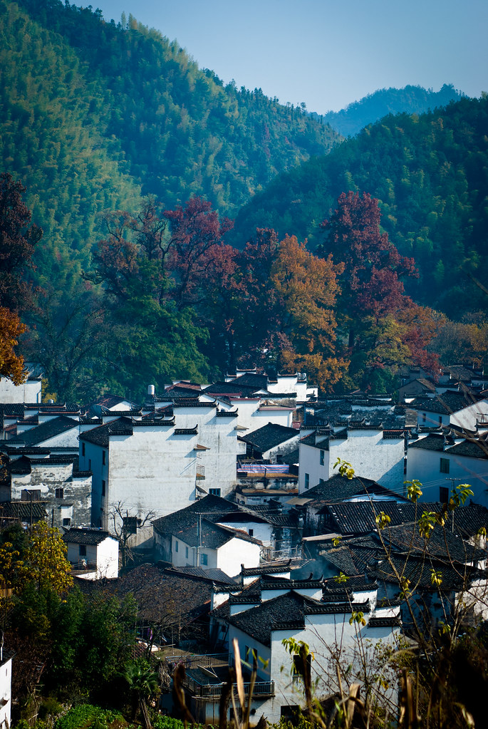
Village in the mountain

20070331-IMG_2704
Topographic Map of Wuyuan, Shangrao, Jiangxi, China
Find elevation by address:

Places in Wuyuan, Shangrao, Jiangxi, China:
Places near Wuyuan, Shangrao, Jiangxi, China:
Recent Searches:
- Elevation of Corso Fratelli Cairoli, 35, Macerata MC, Italy
- Elevation of Tallevast Rd, Sarasota, FL, USA
- Elevation of 4th St E, Sonoma, CA, USA
- Elevation of Black Hollow Rd, Pennsdale, PA, USA
- Elevation of Oakland Ave, Williamsport, PA, USA
- Elevation of Pedrógão Grande, Portugal
- Elevation of Klee Dr, Martinsburg, WV, USA
- Elevation of Via Roma, Pieranica CR, Italy
- Elevation of Tavkvetili Mountain, Georgia
- Elevation of Hartfords Bluff Cir, Mt Pleasant, SC, USA