Elevation of Wum, Cameroon
Location: Cameroon > Northwest > Menchum >
Longitude: 10.0751331
Latitude: 6.3884374
Elevation: 1066m / 3497feet
Barometric Pressure: 89KPa
Elevation Map:
Satellite Map:
Related Photos:
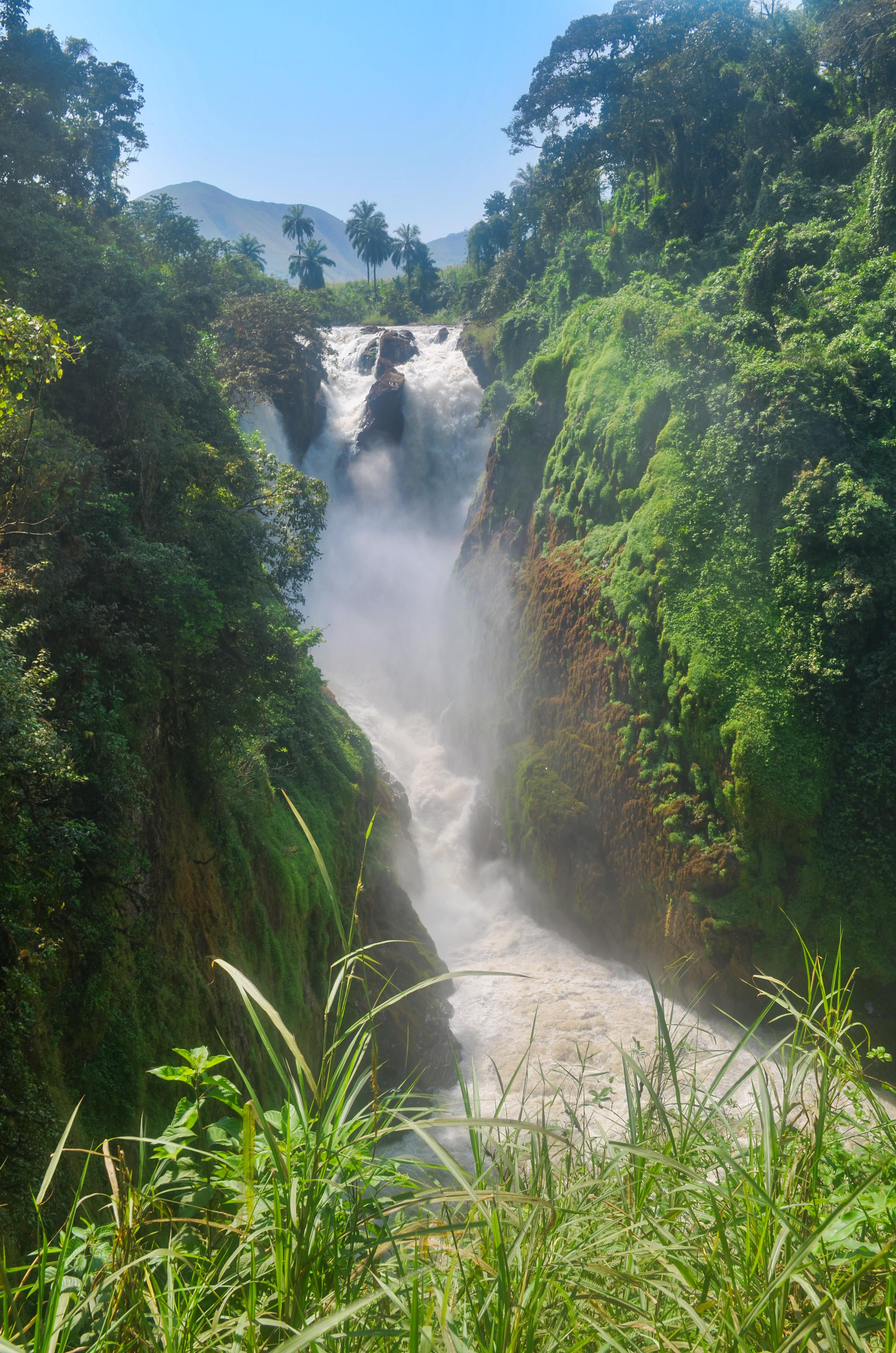
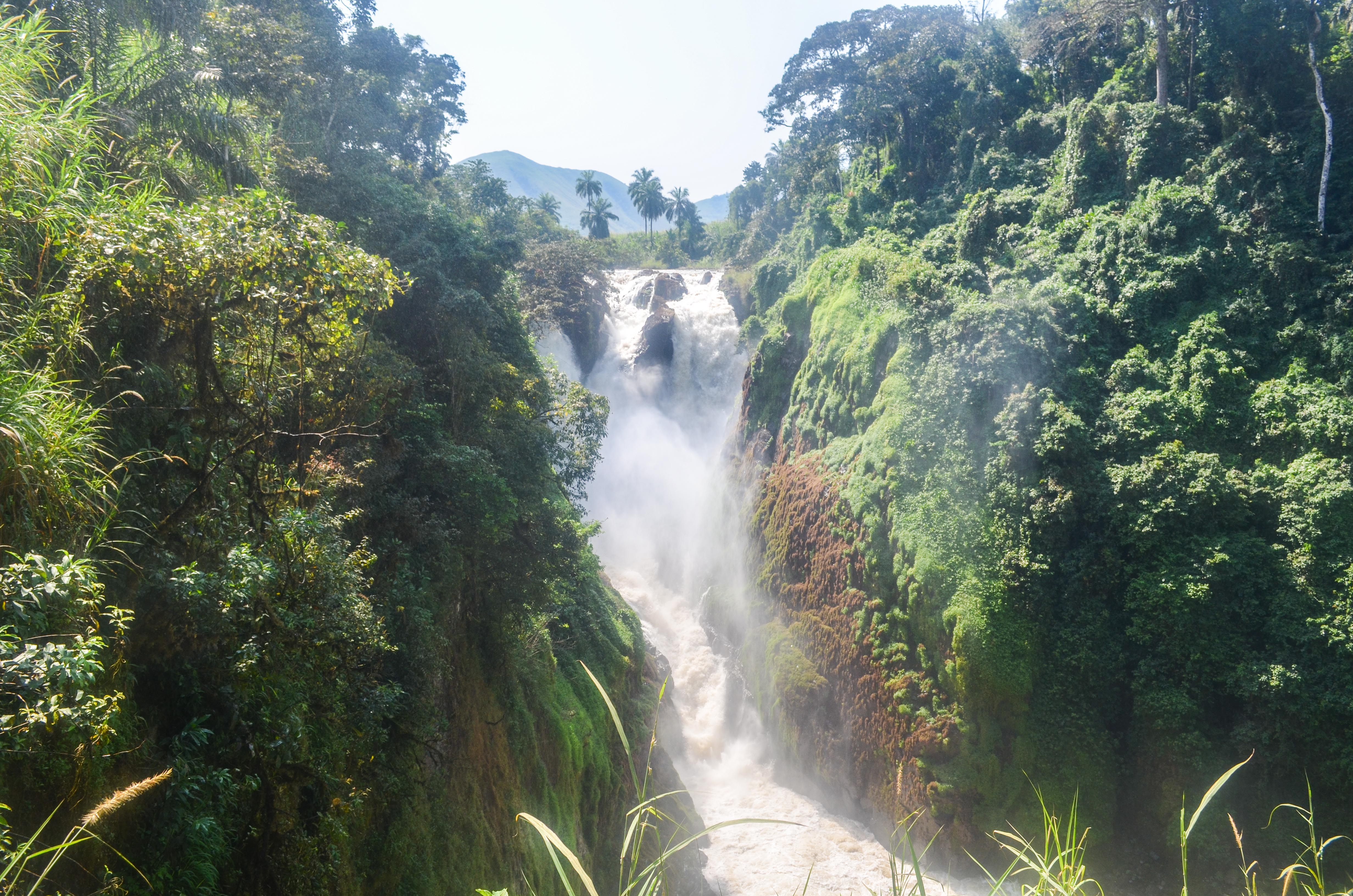
Menchum falls, Cameroon
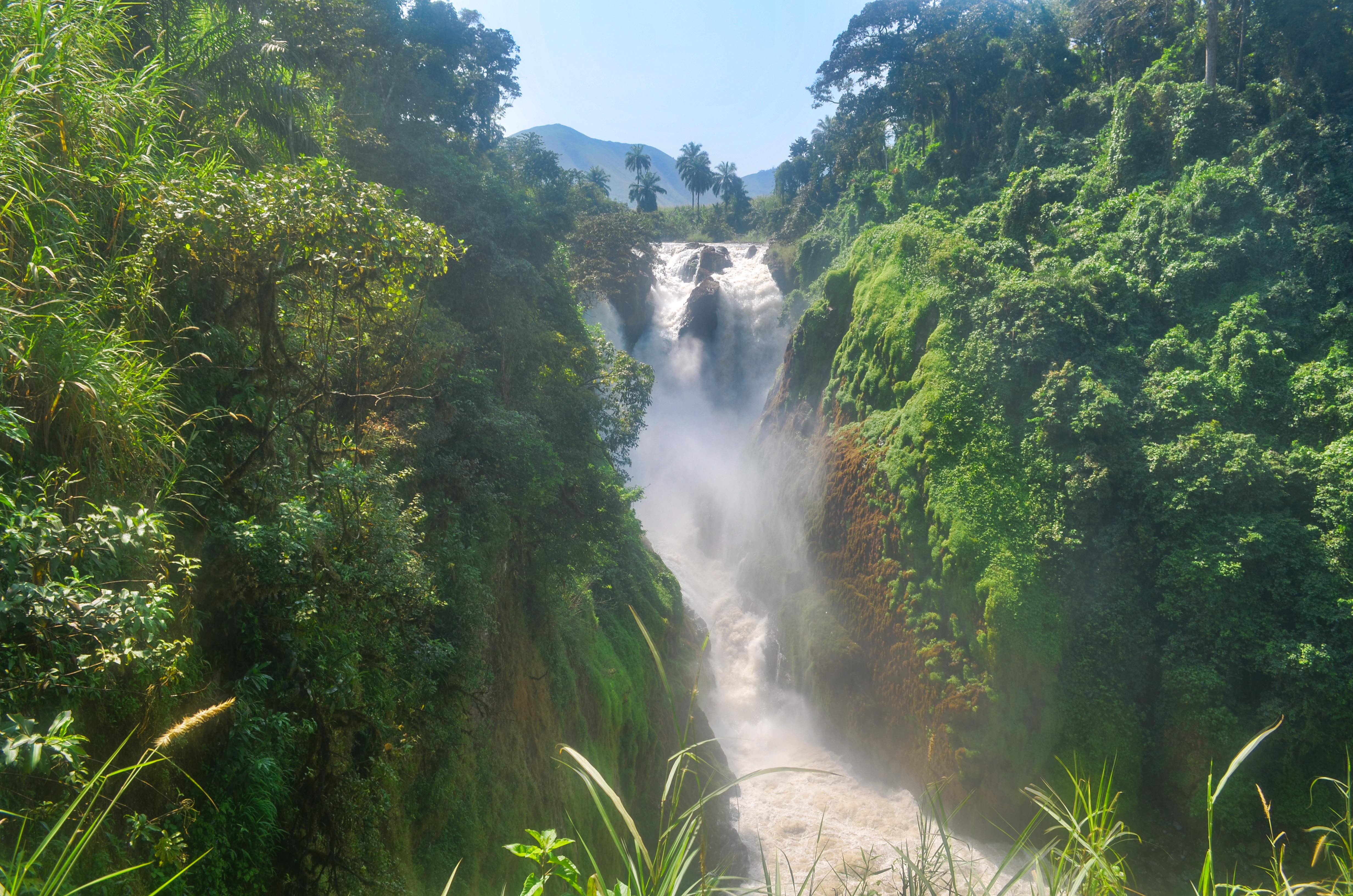
Menchum falls, Cameroon
20131121-DSC_5092
Menchum falls, Cameroon
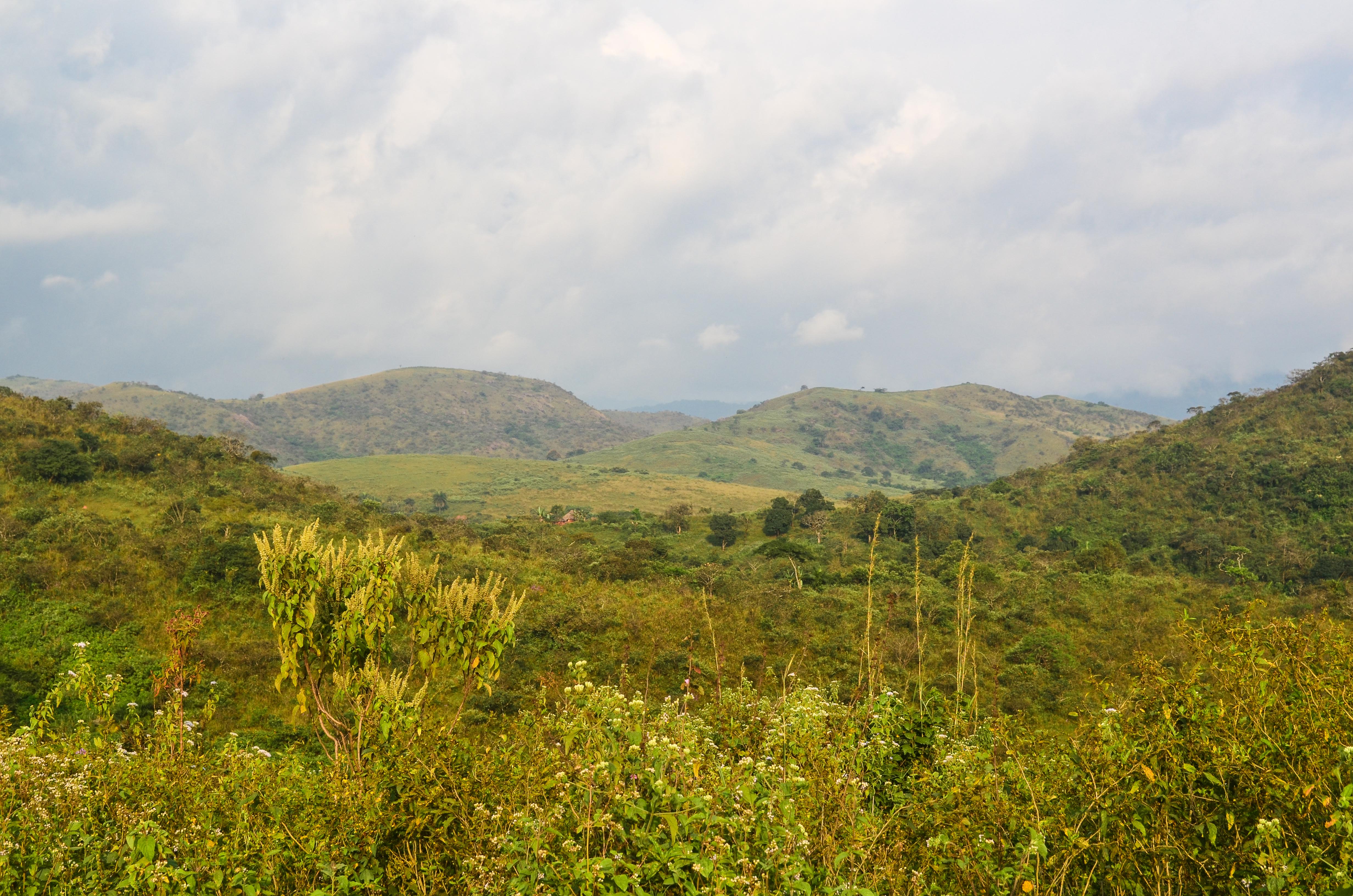
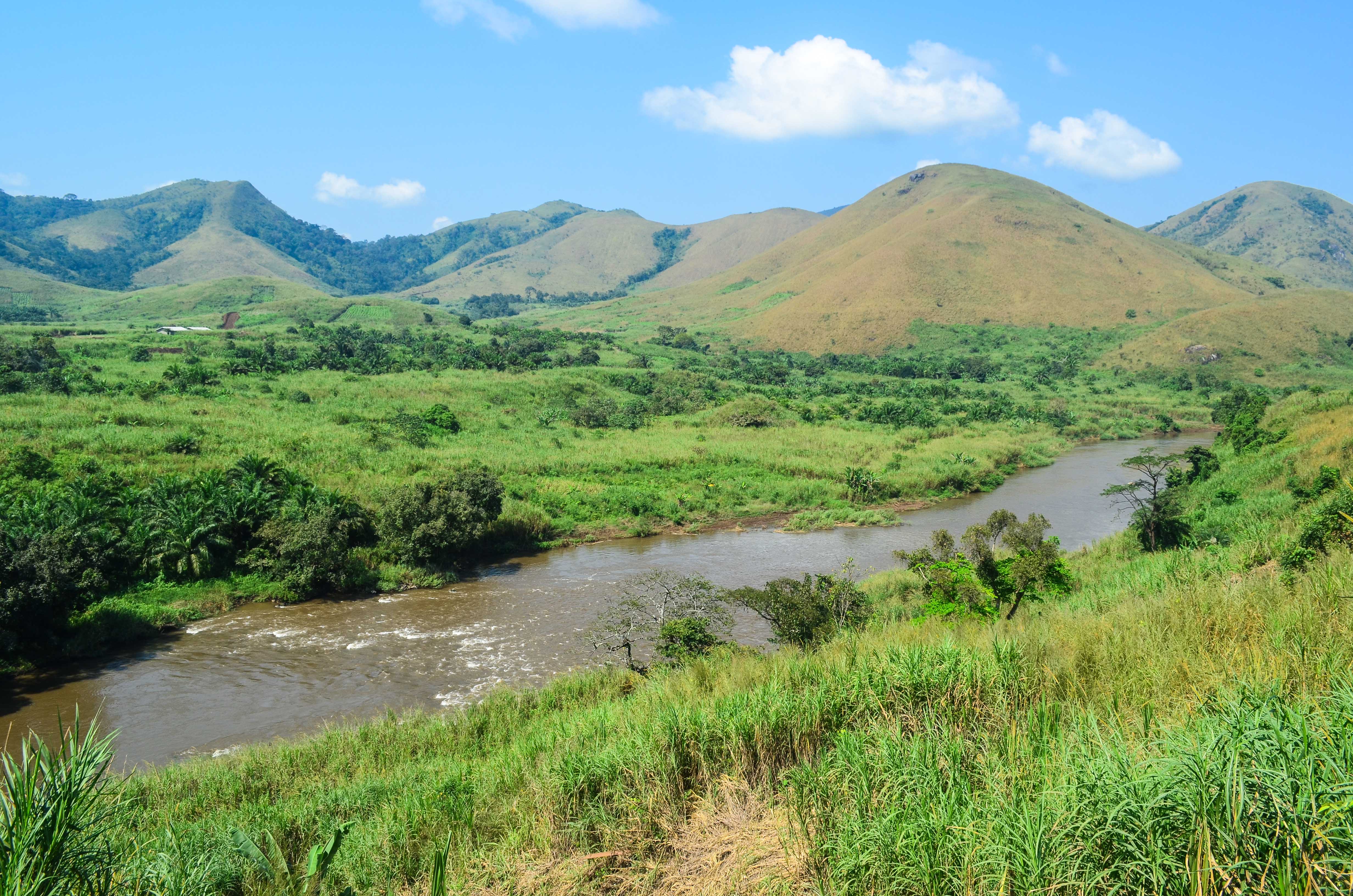
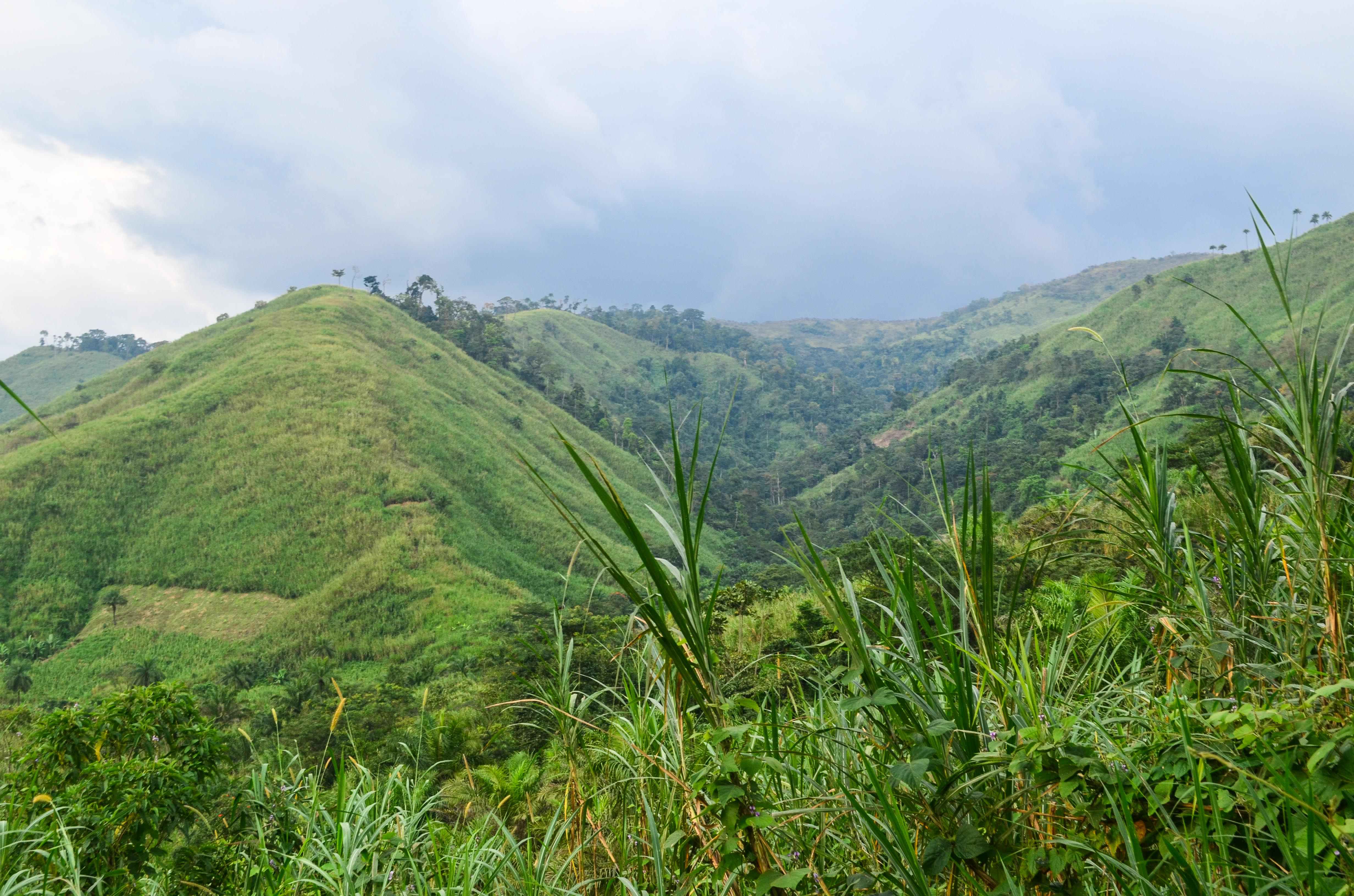
The ring road
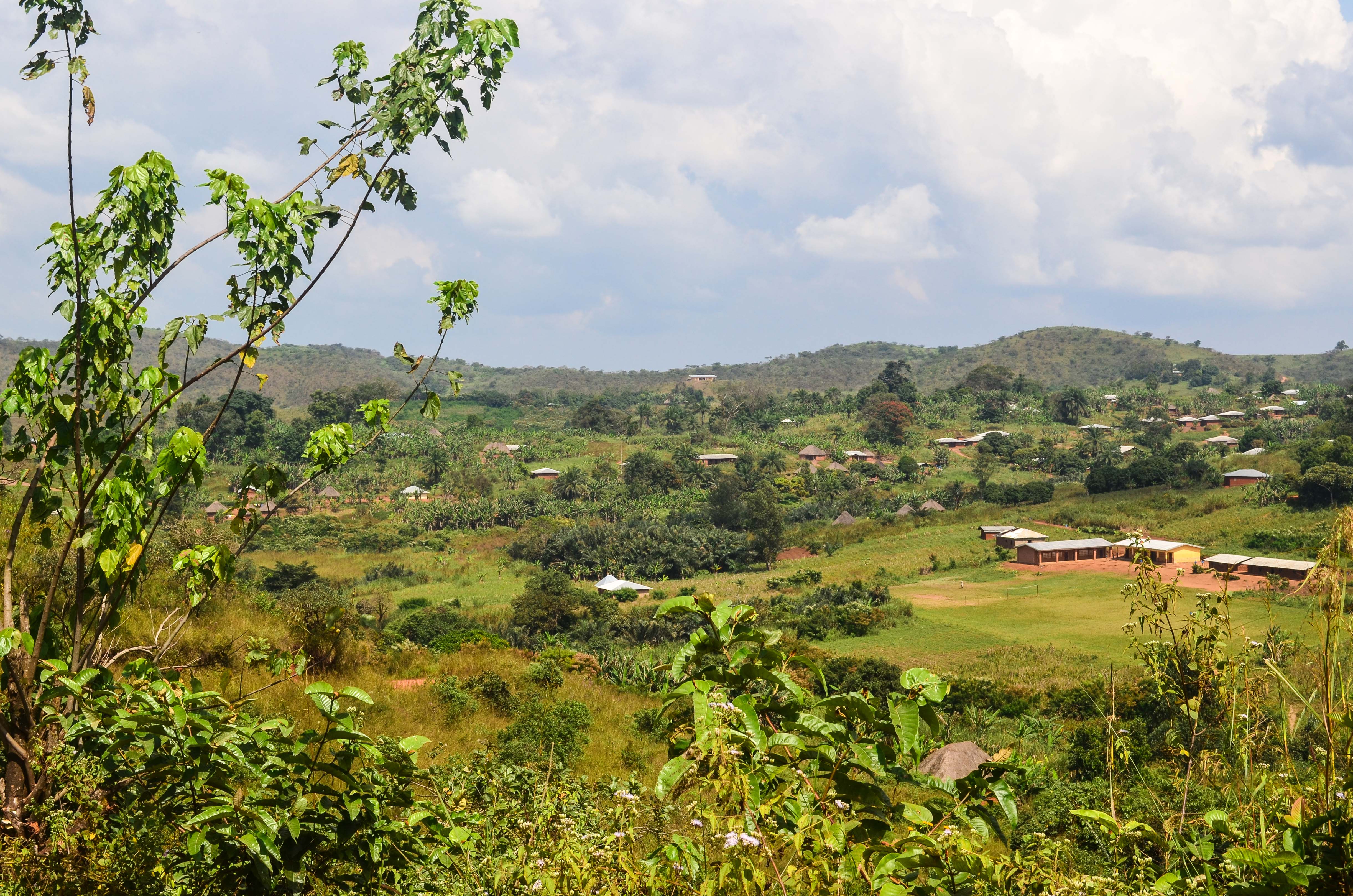
The ring road
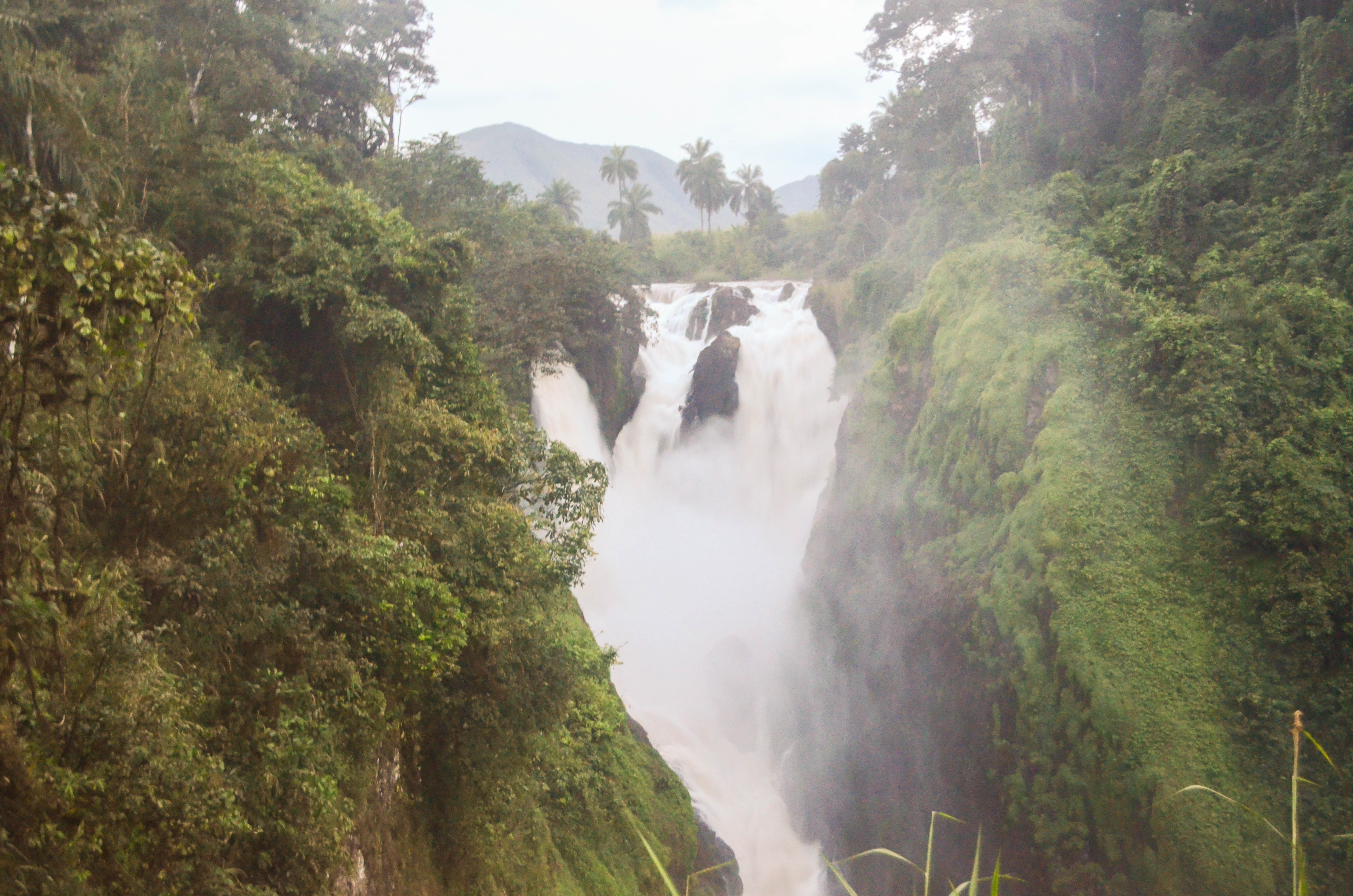
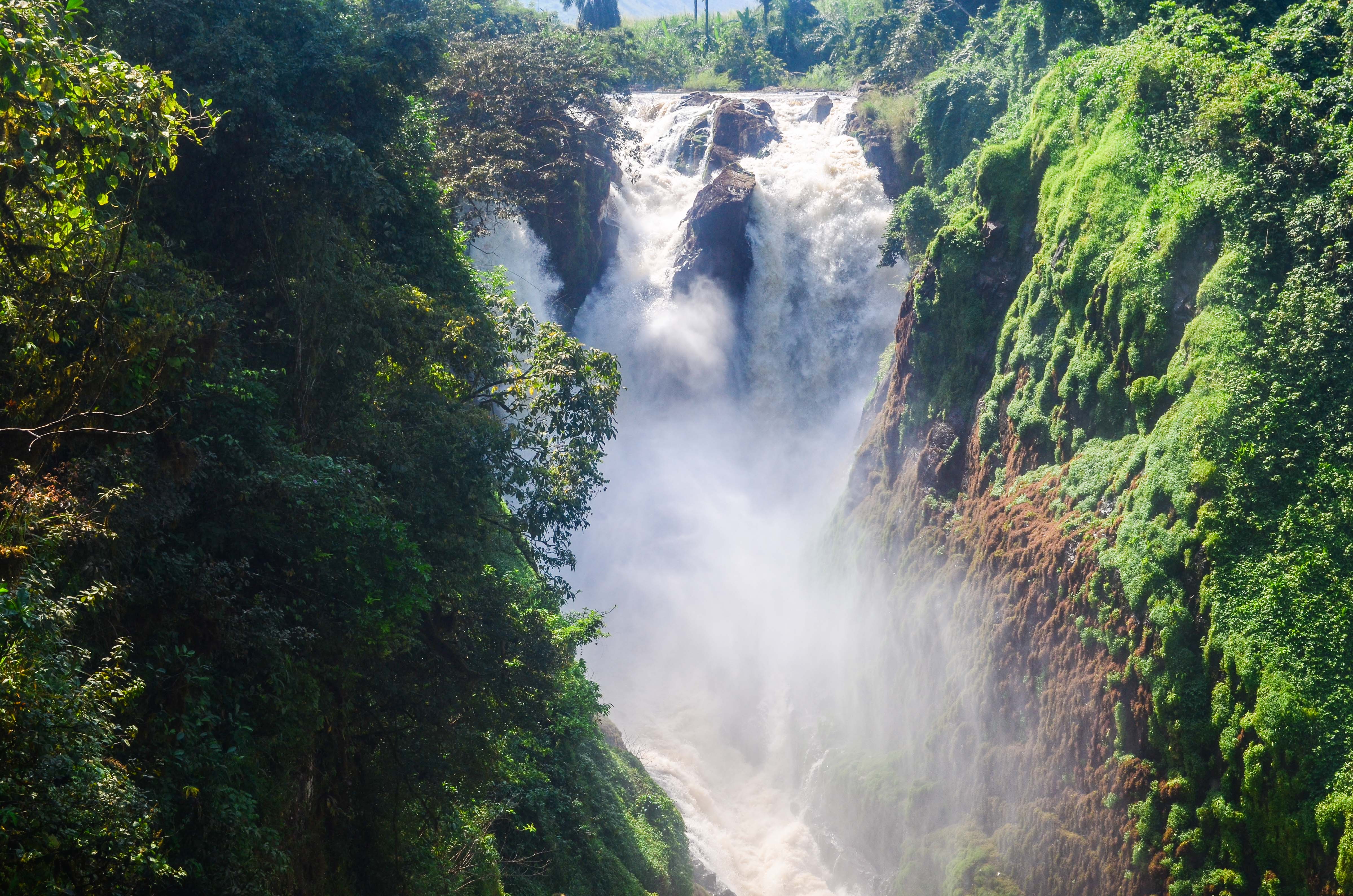
Menchum falls, Cameroon
The ring road
Menchum falls, Cameroon
Menchum falls, Cameroon

20131120-DSC_5073

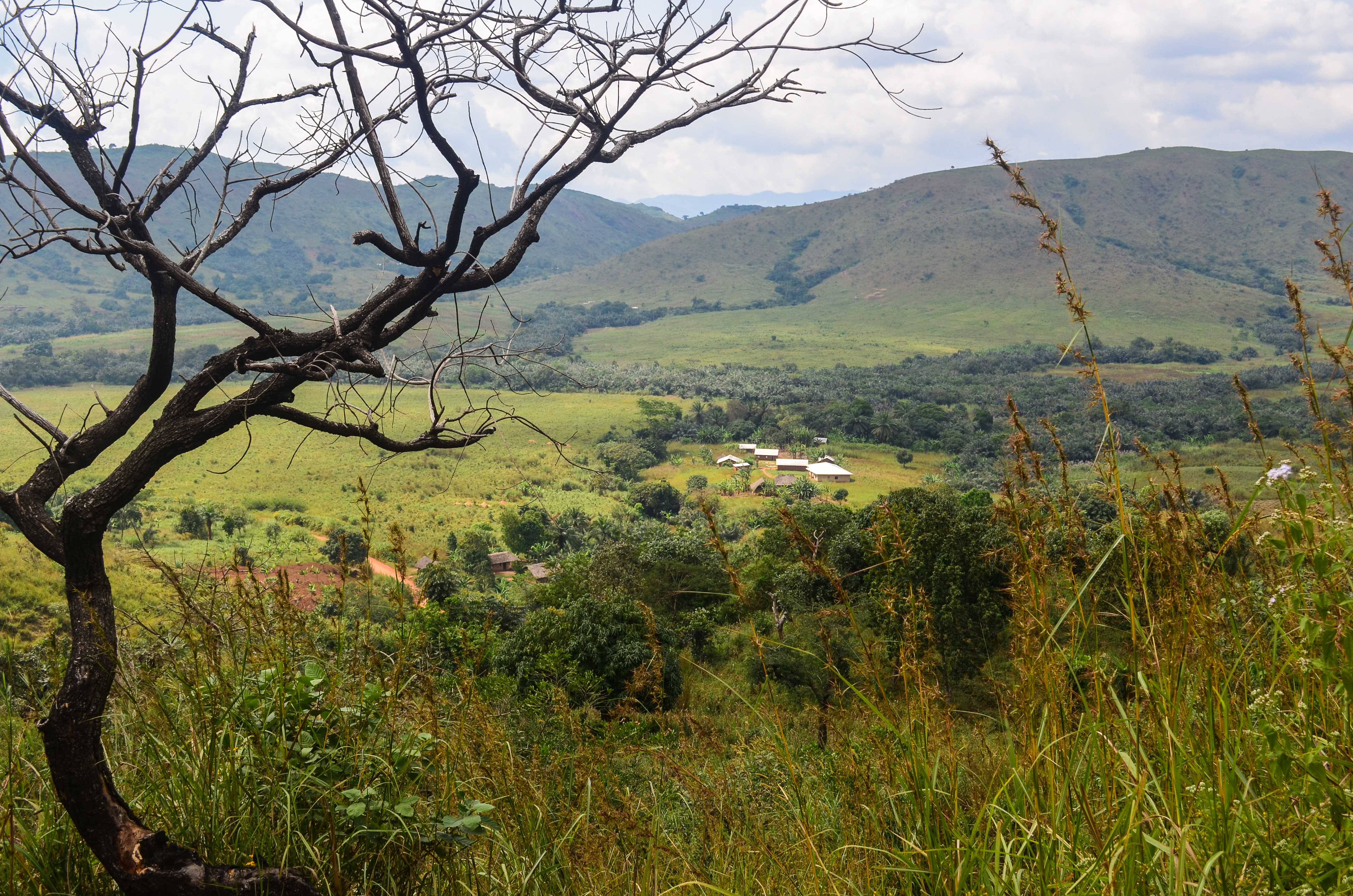
The ring road
The ring road
20131120-DSC_5056

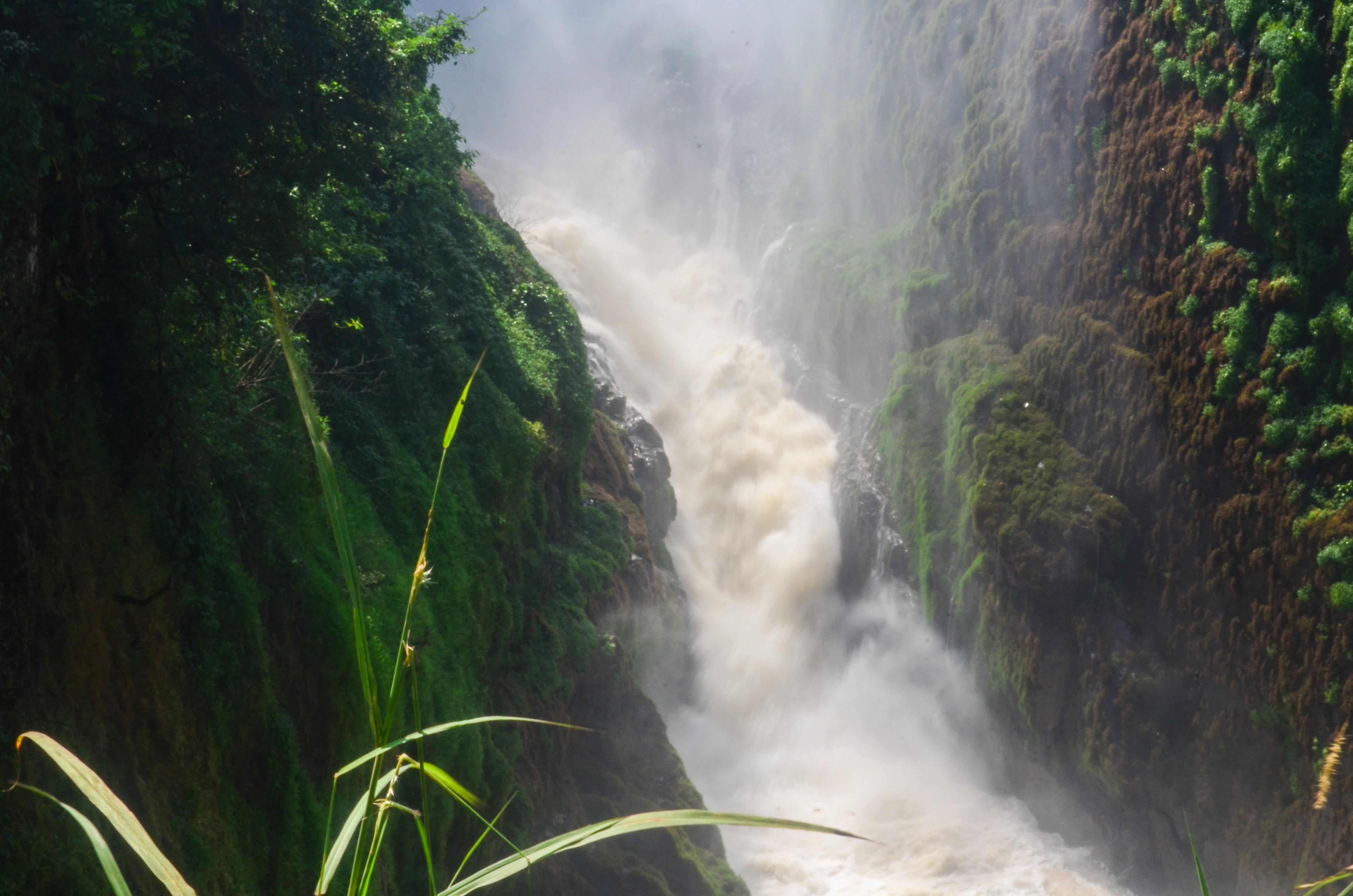
Menchum falls, Cameroon

20131121-DSC_5095

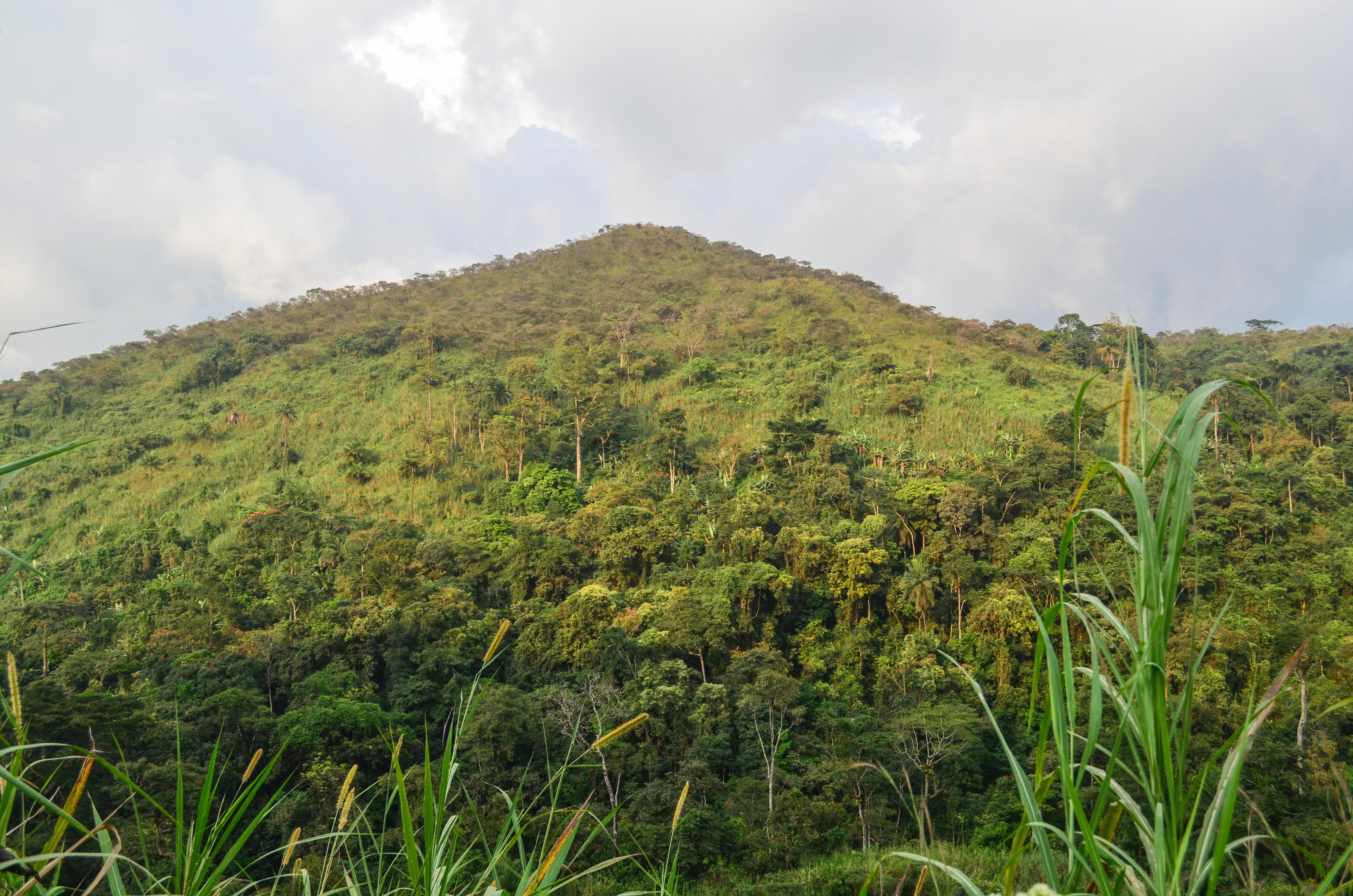
Day382-Bike-131120
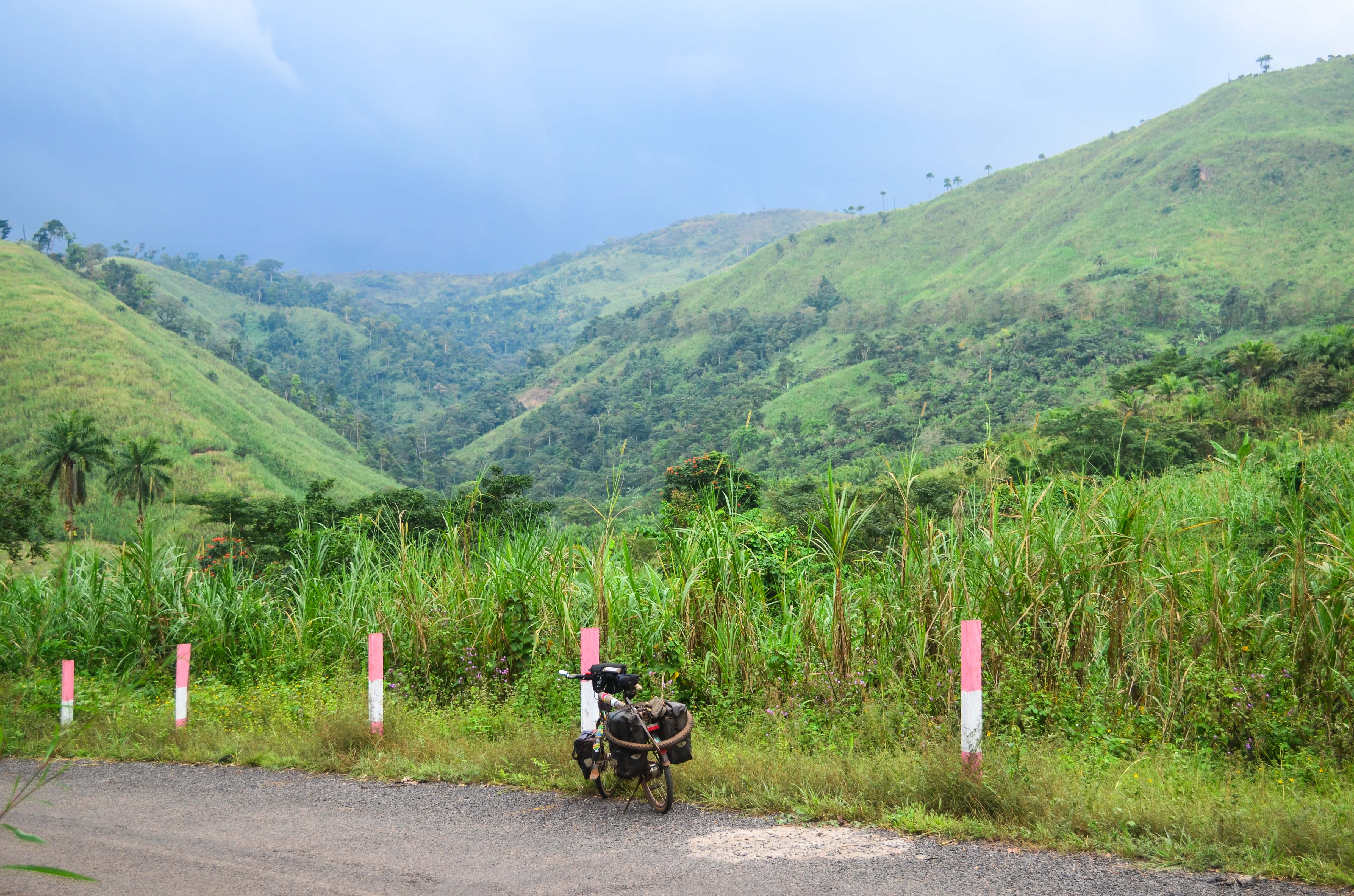
The ring road
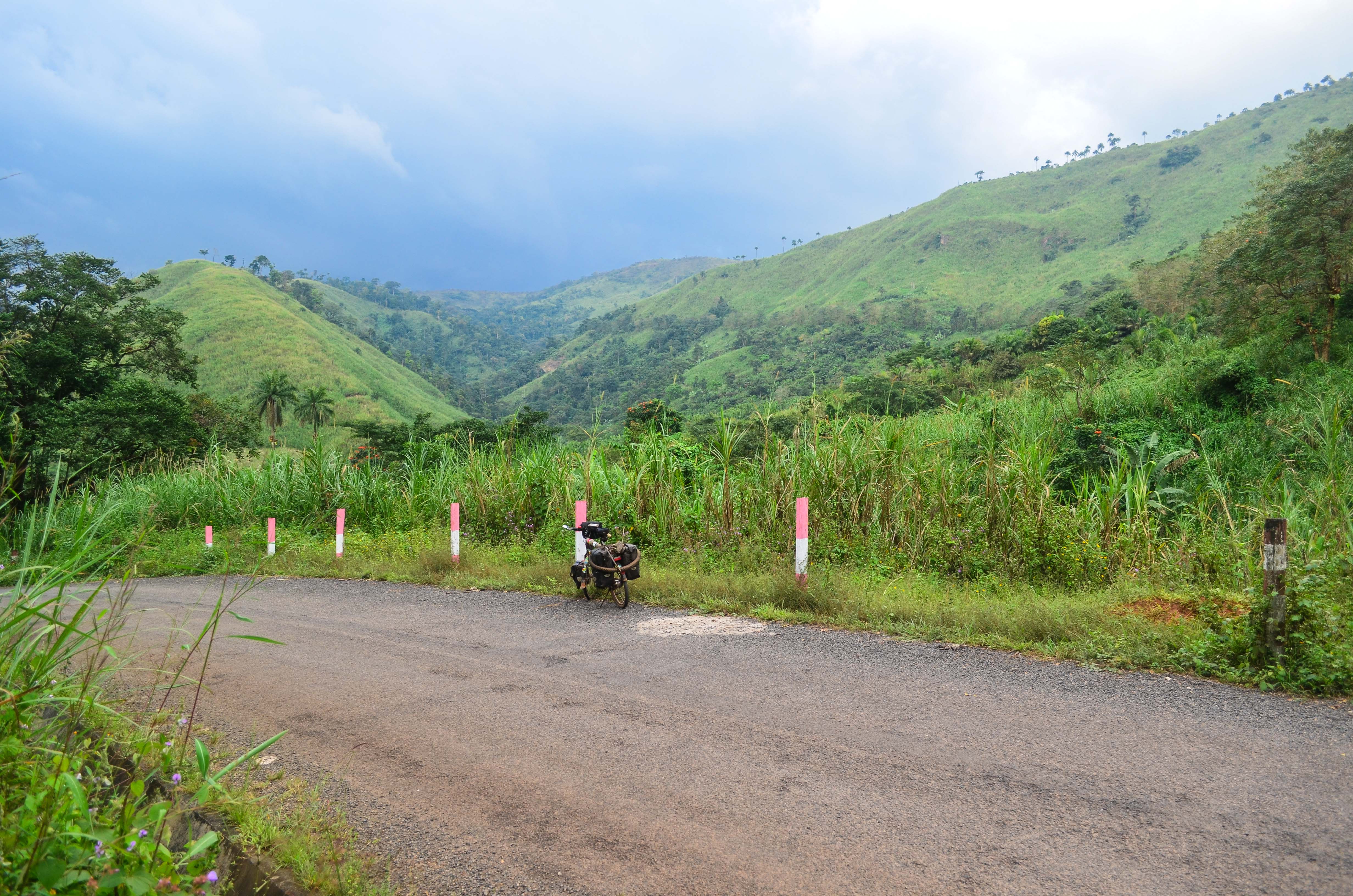
The ring road

20150402-6150
Topographic Map of Wum, Cameroon
Find elevation by address:

Places near Wum, Cameroon:
Recent Searches:
- Elevation of Corso Fratelli Cairoli, 35, Macerata MC, Italy
- Elevation of Tallevast Rd, Sarasota, FL, USA
- Elevation of 4th St E, Sonoma, CA, USA
- Elevation of Black Hollow Rd, Pennsdale, PA, USA
- Elevation of Oakland Ave, Williamsport, PA, USA
- Elevation of Pedrógão Grande, Portugal
- Elevation of Klee Dr, Martinsburg, WV, USA
- Elevation of Via Roma, Pieranica CR, Italy
- Elevation of Tavkvetili Mountain, Georgia
- Elevation of Hartfords Bluff Cir, Mt Pleasant, SC, USA