Elevation of Wraggs Ferry Rd, Georgetown, SC, USA
Location: United States > South Carolina > Georgetown County > Georgetown >
Longitude: -79.252042
Latitude: 33.421825
Elevation: 5m / 16feet
Barometric Pressure: 101KPa
Elevation Map:
Satellite Map:
Related Photos:
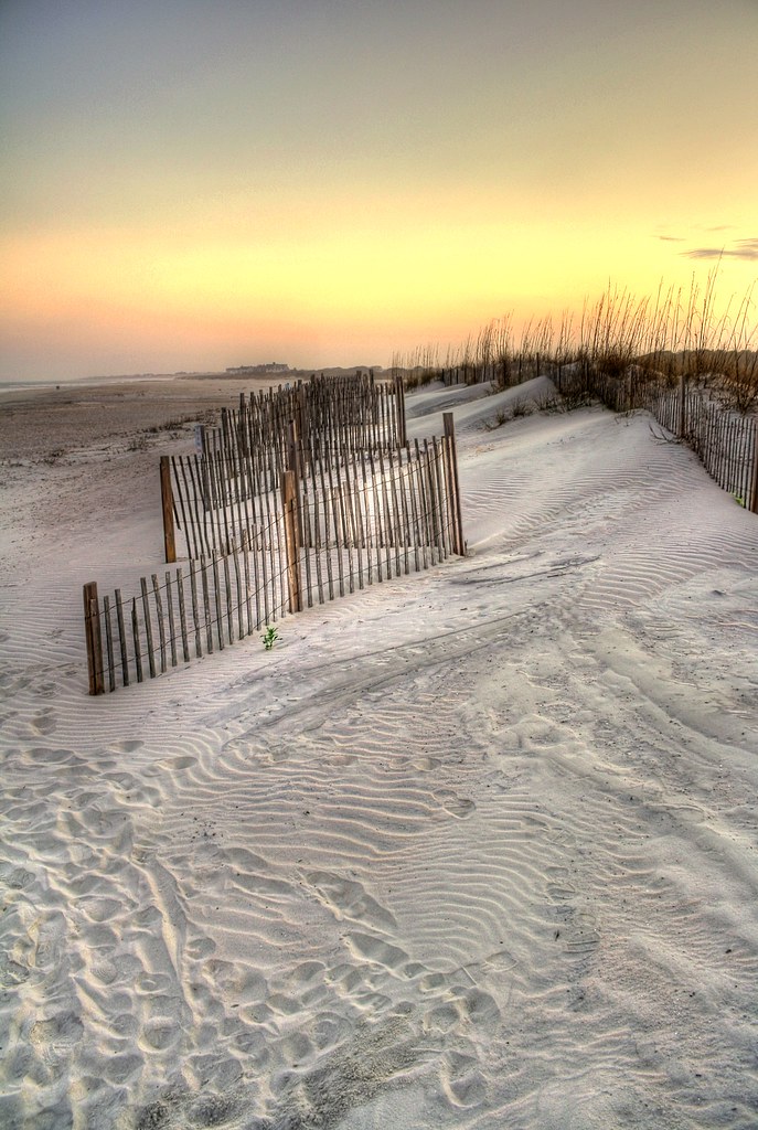
sand trap

View-A-20_Sarver_NIWBNERR
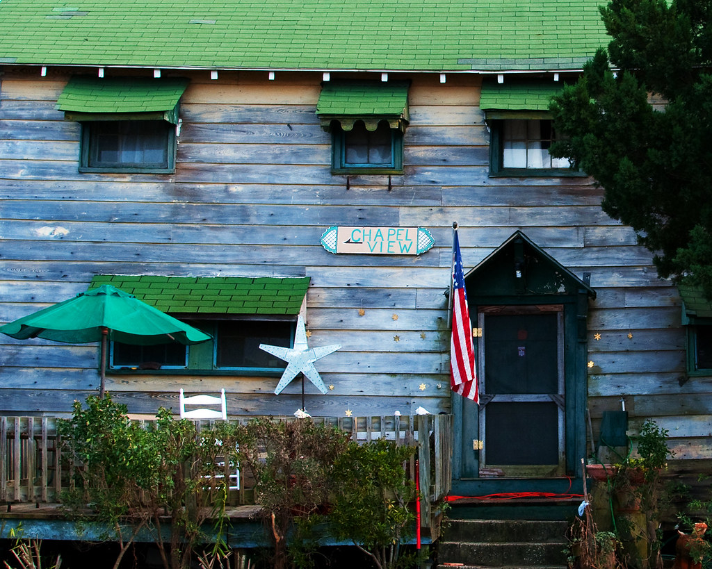
Chapel View
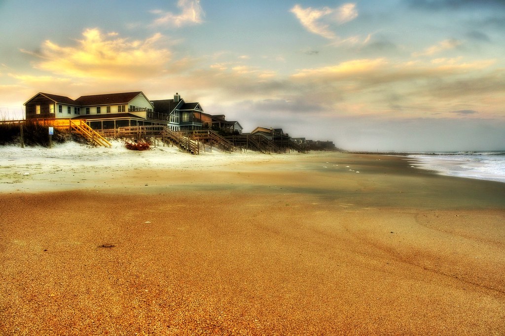
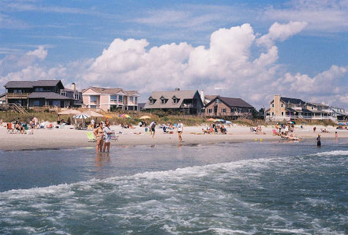
beachfront property

Video of waves and sun rising
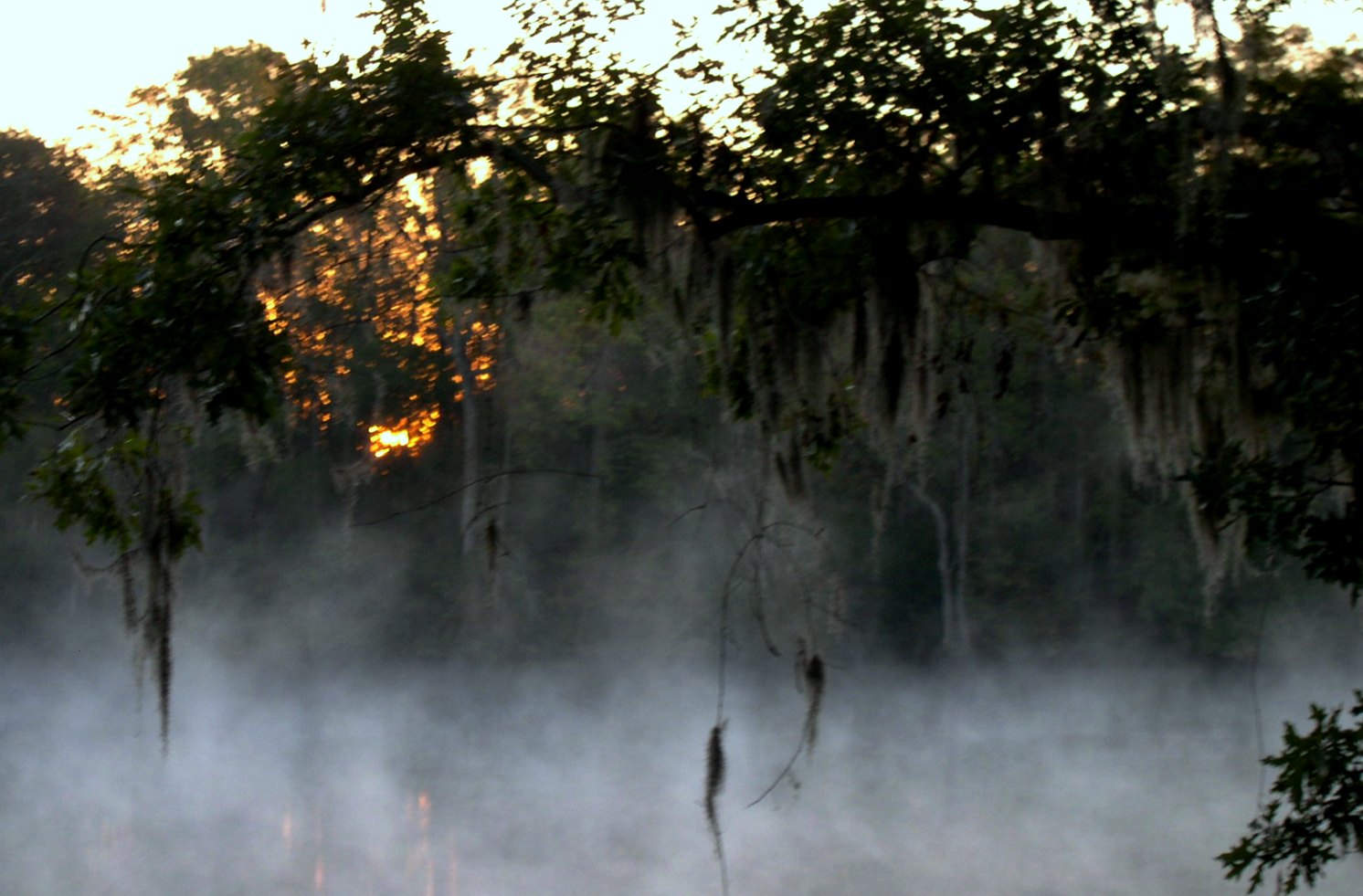
morning fog
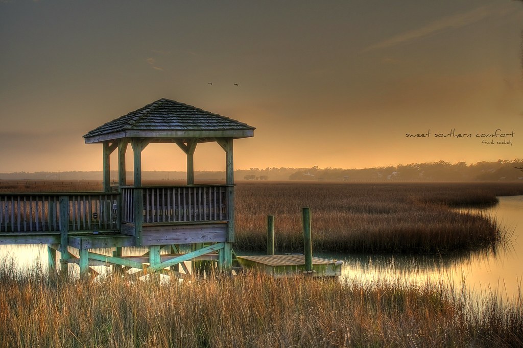
sweet southern comfort

Sunrise at Pawley's Island
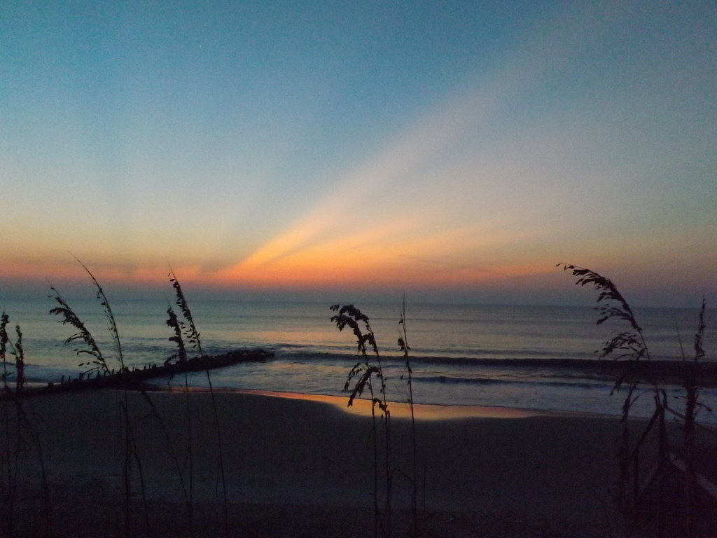
Sunrise Pawley's Island
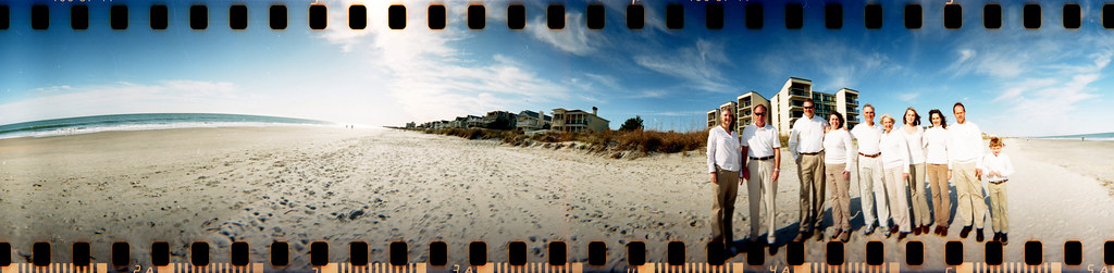
The Hunts, Polks and McLaurins Panorama
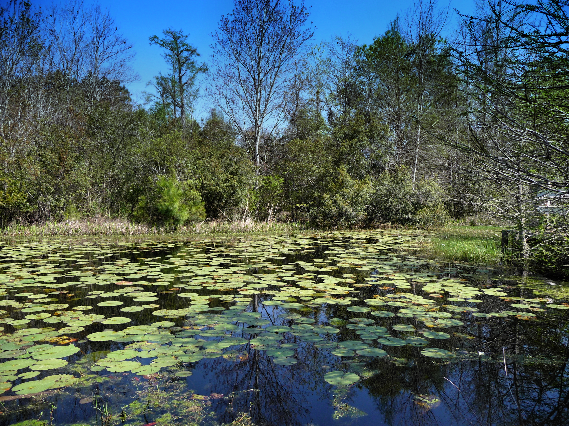
Willbrook Plantation GC, Myrtle Beach No 15 pond 2

Sowing is not as Difficult as Reaping

2013.09.26 95K Views

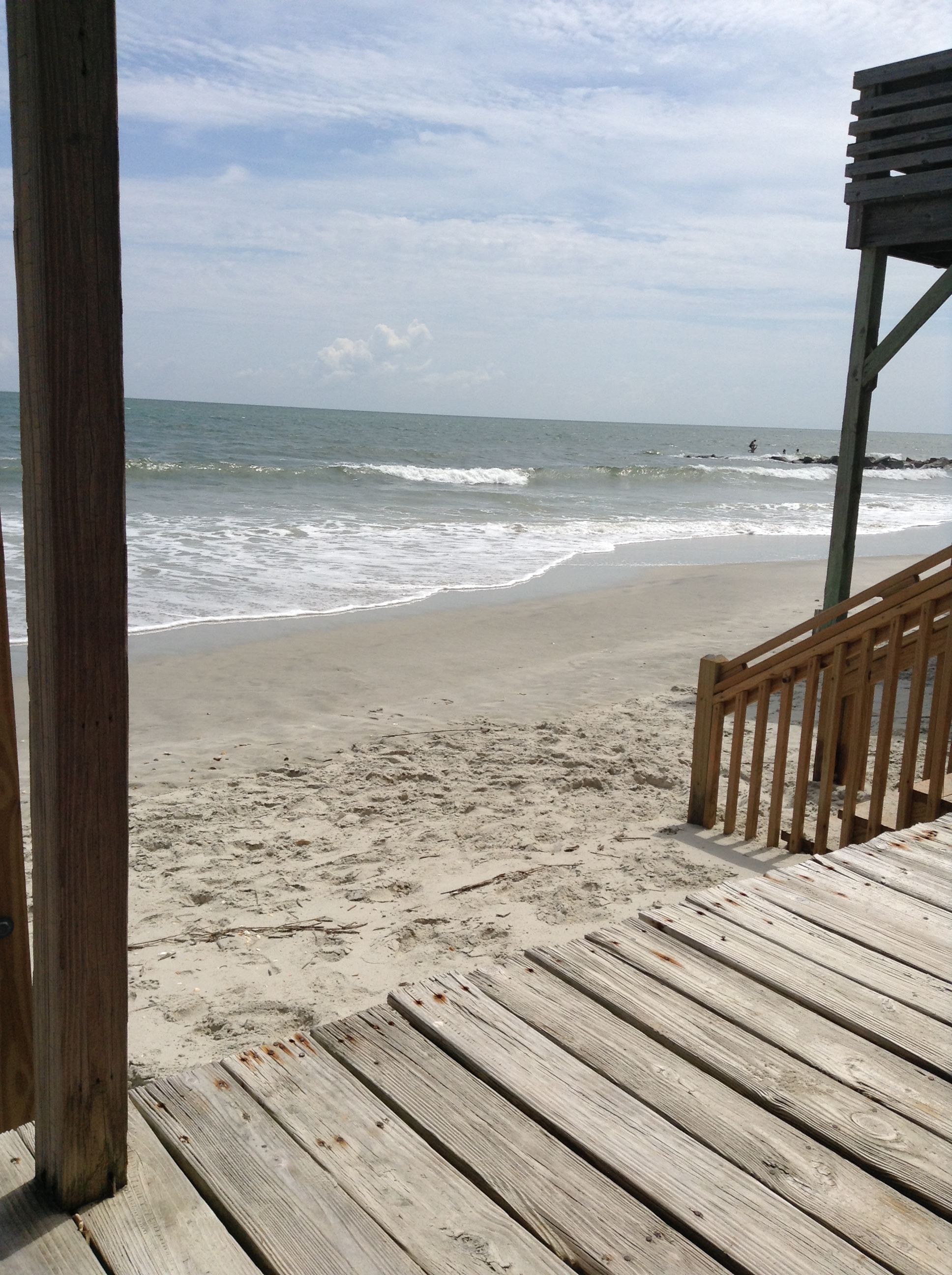
Window view

Video of Early morning beach waves and birds

snake, venomous
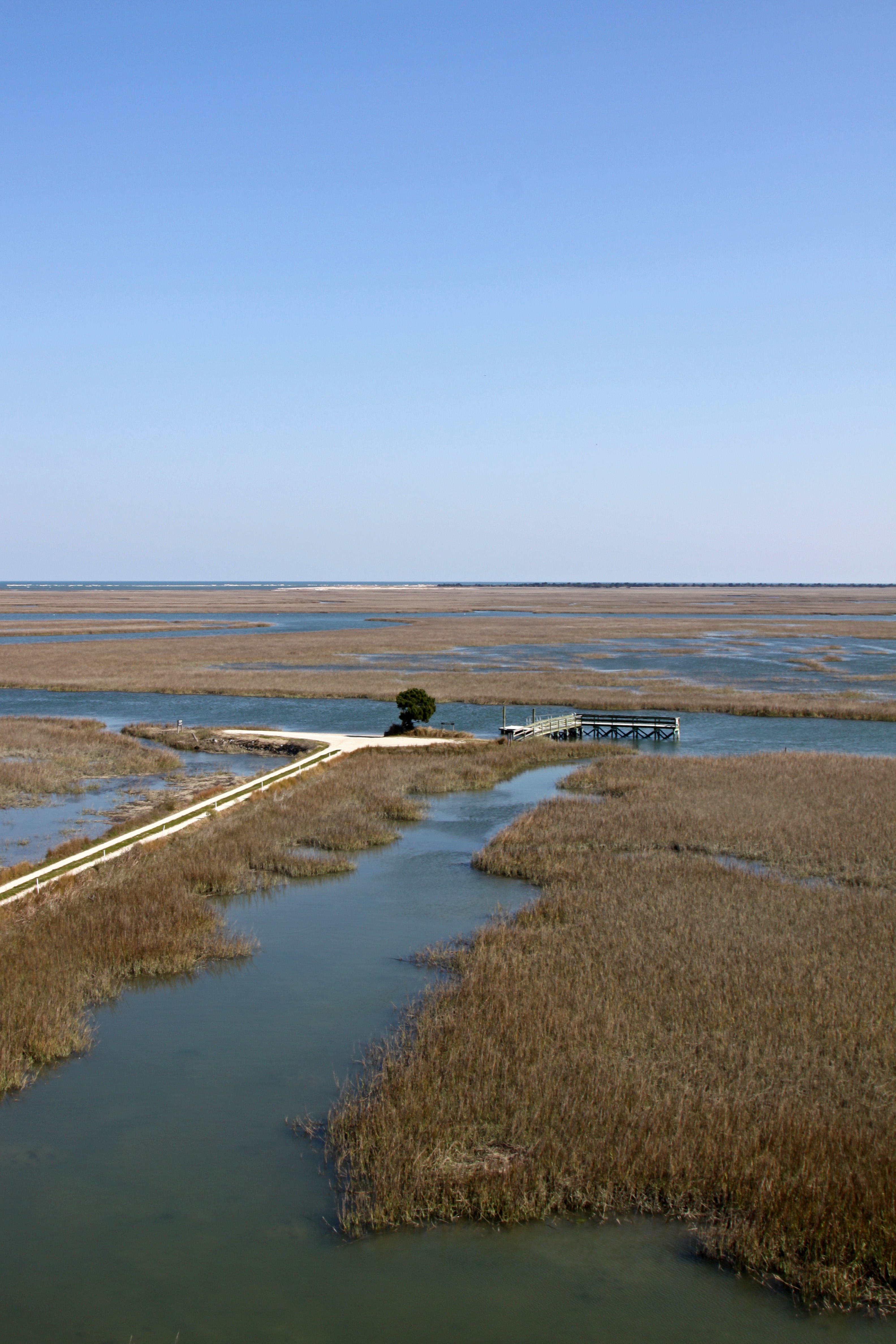
Tower View
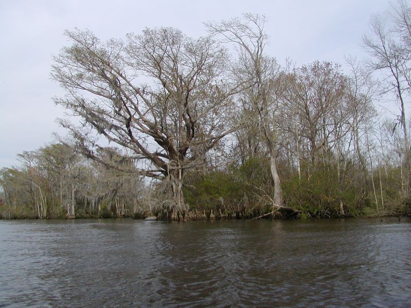
Waccamaw River Cypress Trees
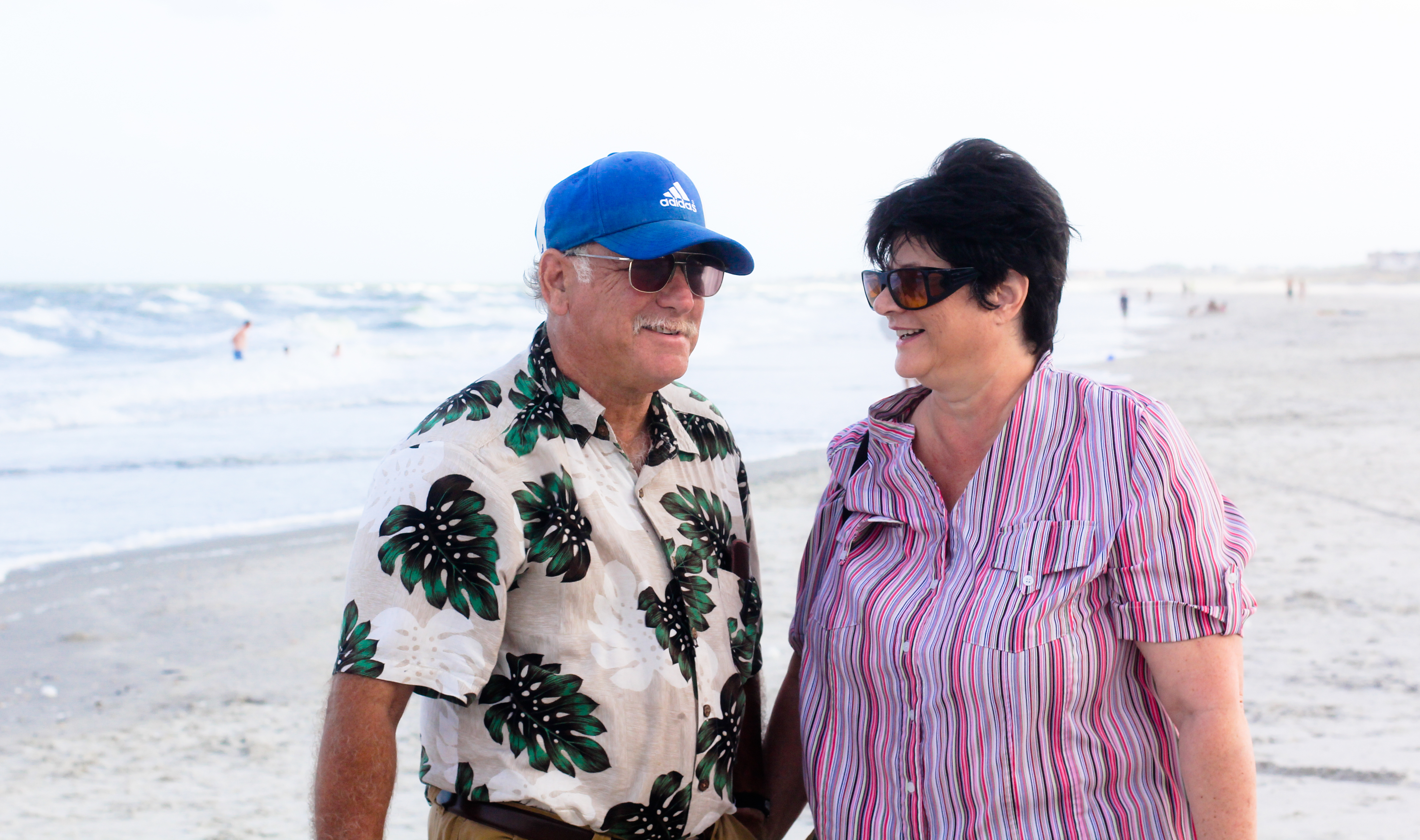
Mom & Dad

Who put these here?
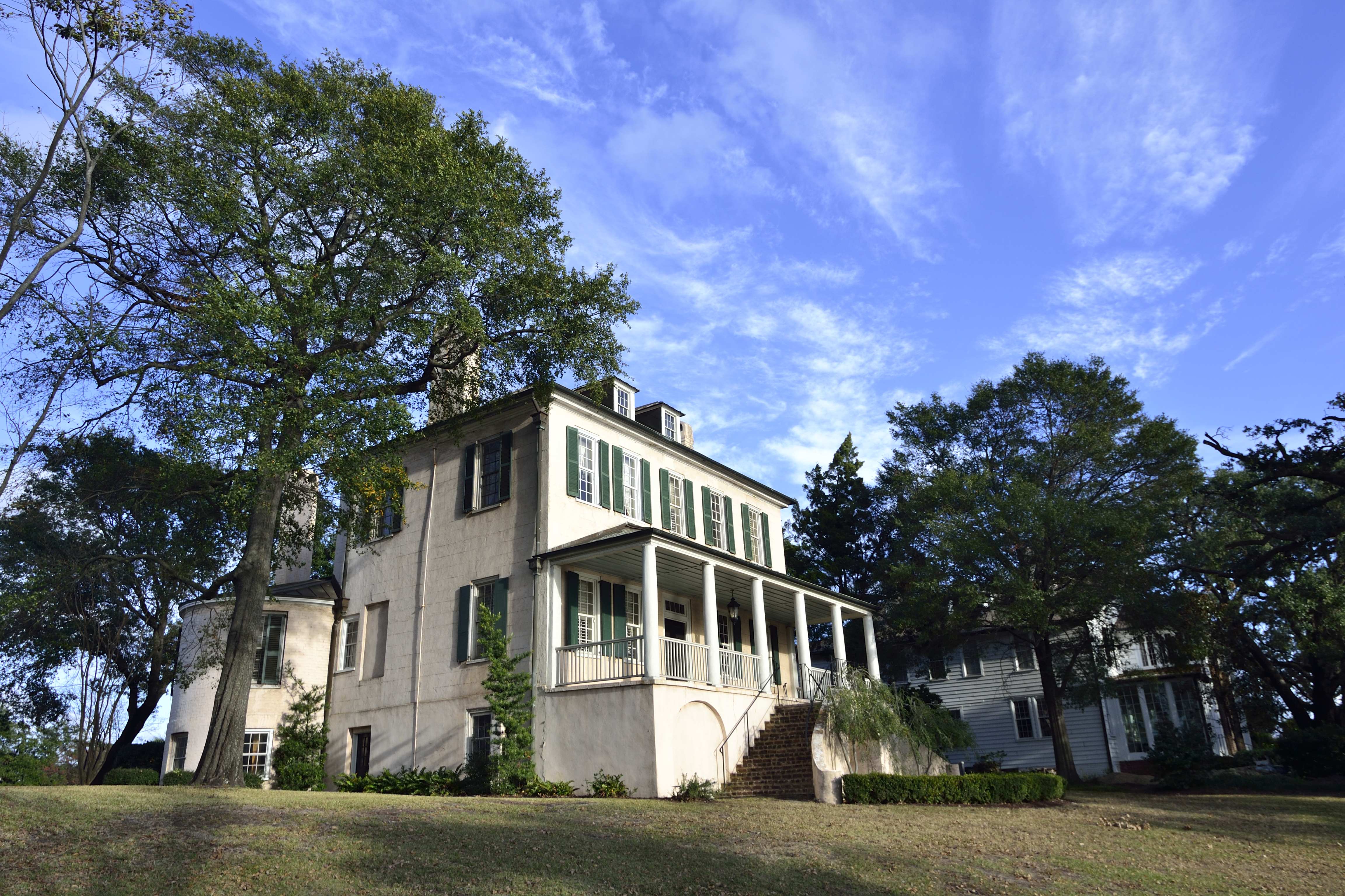
Kaminski House
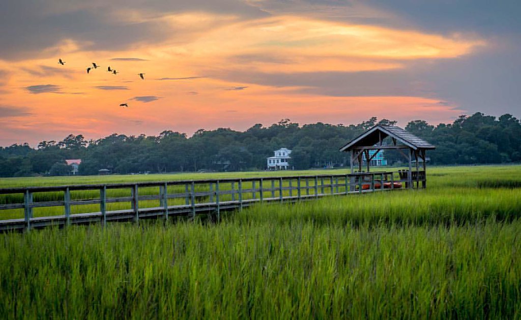
Pawleys Marsh
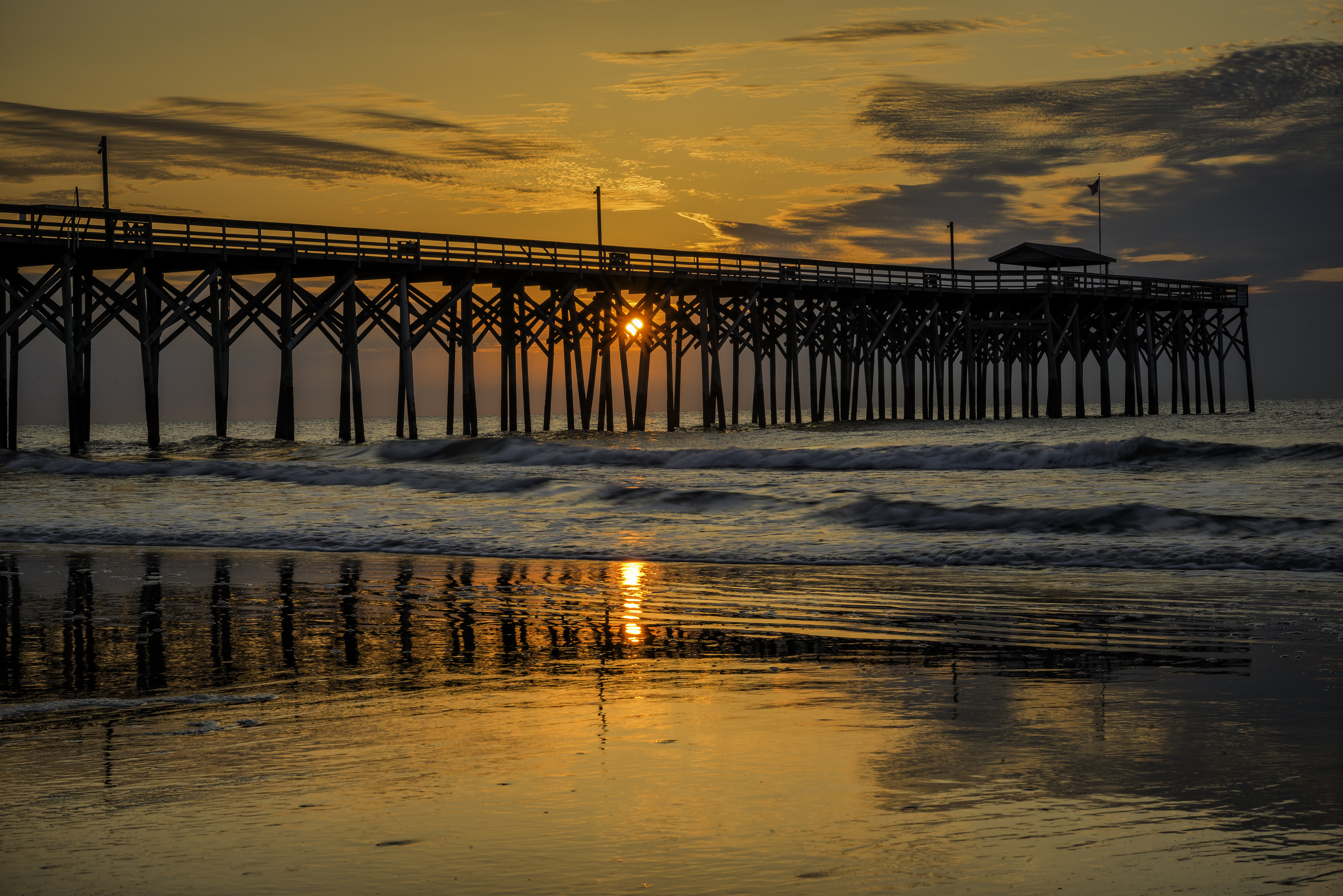
Pawley's Island Pier (South Carolina)
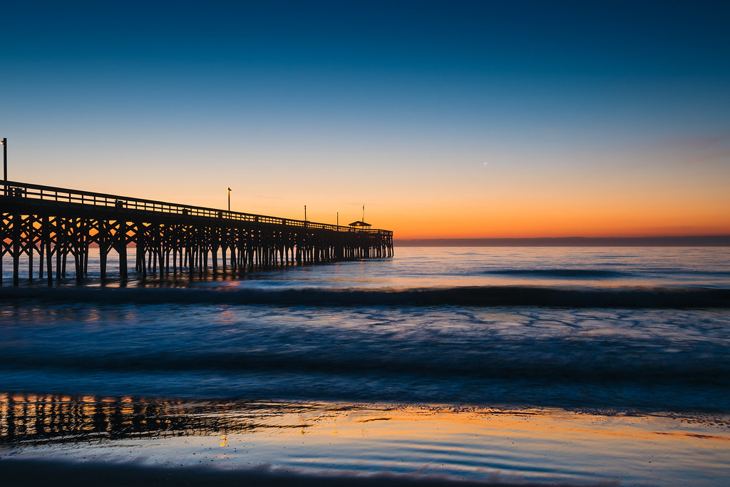
Atlantic Dawn
God's painting again! ????@Cjpix . @sunset_stream @sunset_madness @sunset_stream @ig_shotz_sunset @bestshotz_sunset @tgif_sunset @sunsets_oftheworld #tbt #follow #follow4follow #picoft

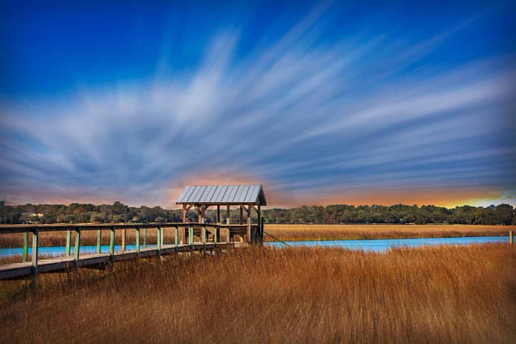
morning marsh
letting go of summer

"Infrared capture" #ir #infrared #infraredphotography
2014-09-02 13.40.59

balance beam

Panicum amarum (Bitter seabeach grass)
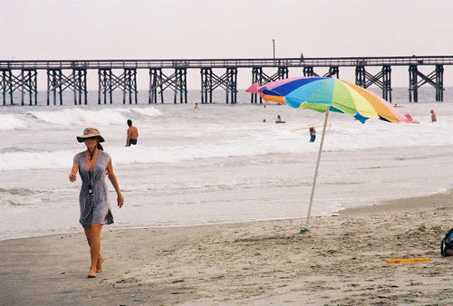
umbrella day

Pawleys pier
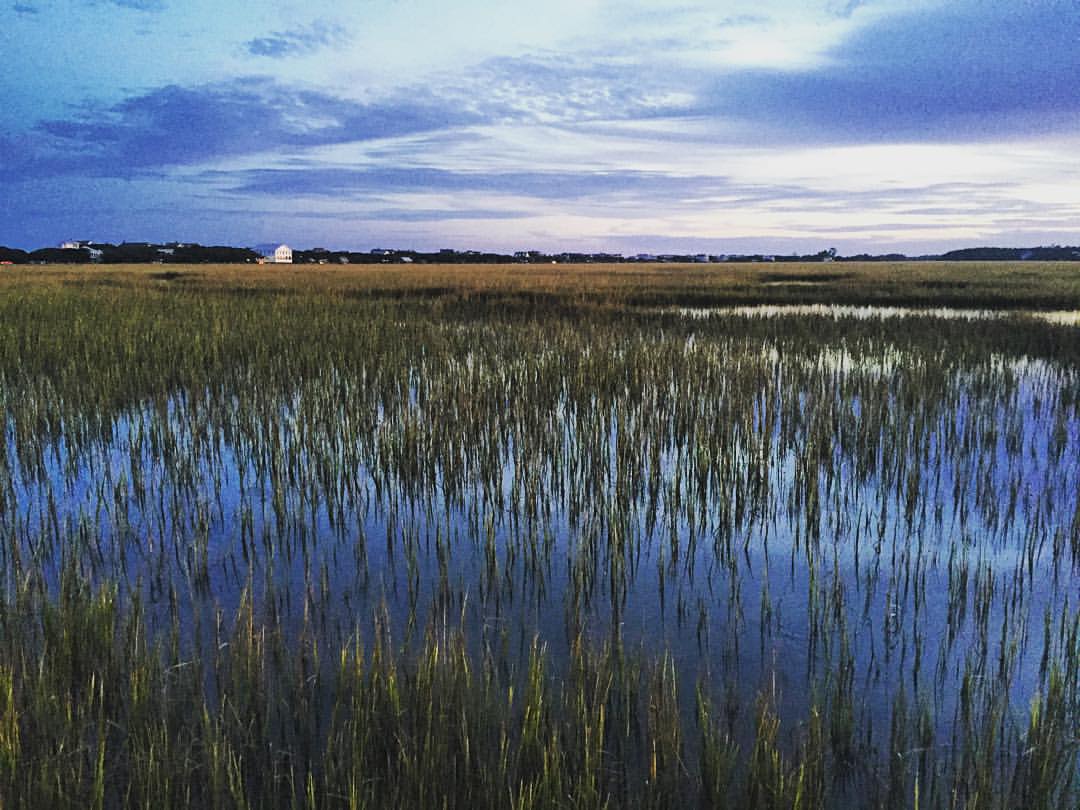
Marshland at #sunset gives off smooth reflections in the water and sense of peacefulness. #explore #exploremore #rei #rei1440project #rootsrated #TAC_Adventure #TAC_Exploring #instagood #outside #outdoors #OutdoorsUSA #pawley #pawleys #pawleysisland #myla
Water/sand sculpture
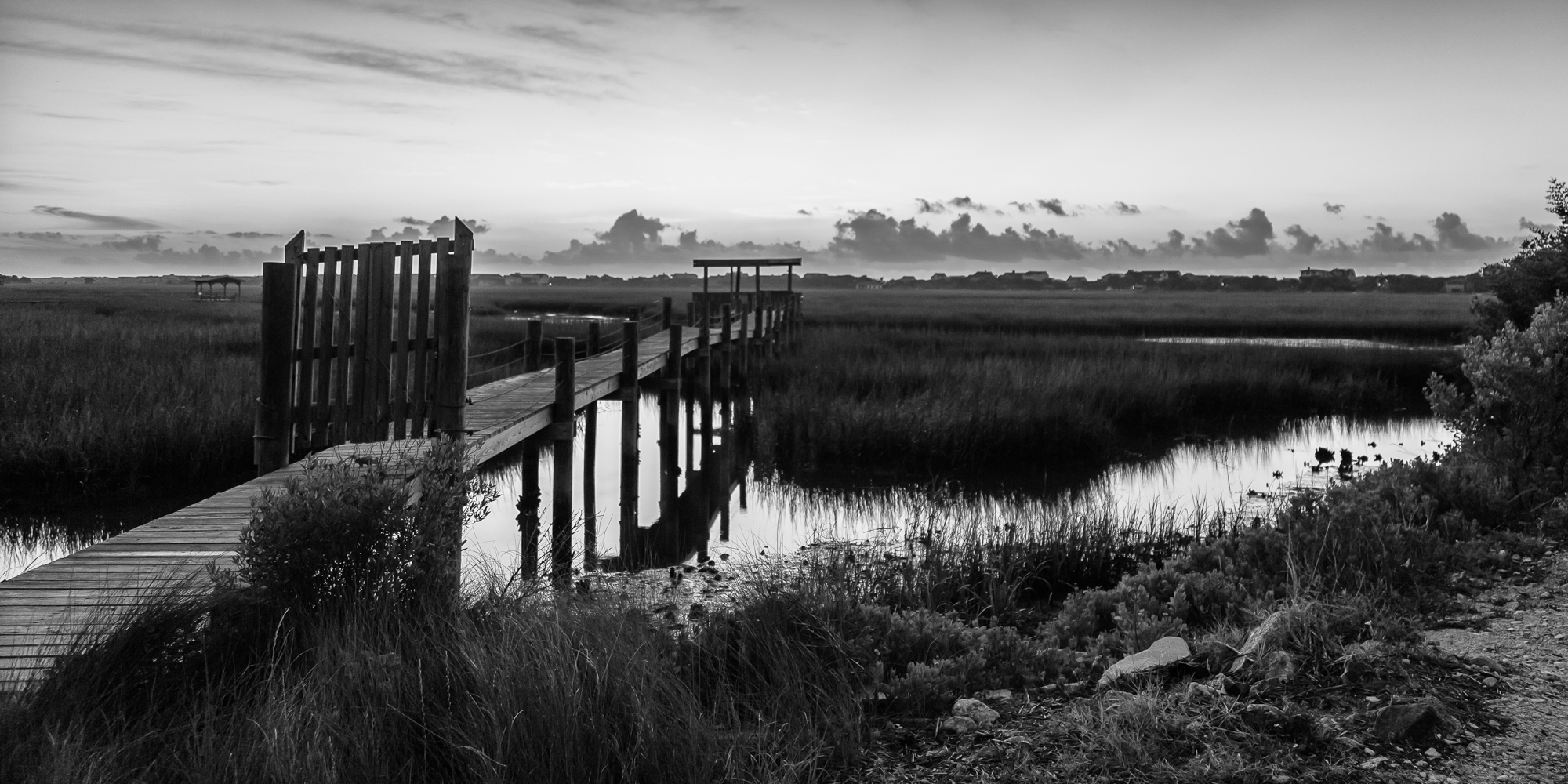
marsh bw
Pawleys Island perfect

Pawleys Sunrise

Dawn at the Jetty - 2
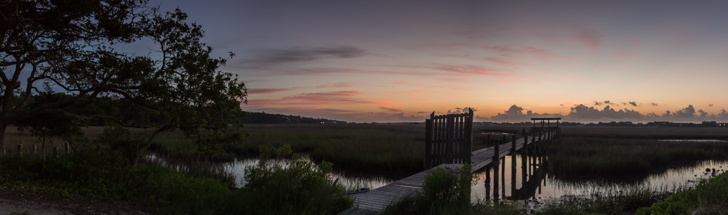
marsh pano

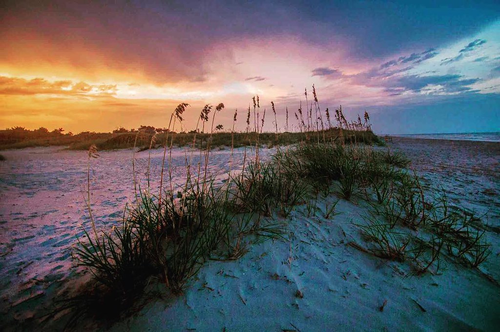
Pastel sunrise through the Sea Oats
Topographic Map of Wraggs Ferry Rd, Georgetown, SC, USA
Find elevation by address:

Places near Wraggs Ferry Rd, Georgetown, SC, USA:
Jericho Court
2087 Wedgefield
Wedgefield Plantation Country Club
146 Robert Conway Ct
53 Tradd Rd
Daniel Morrall Lane
87 Francis Parker Rd
2810 Wedgefield
59 Captain Anthony White Ln
73 John Green Ln
122 Pine Grove Ln
526 Francis Parker Rd
1156 2nd Avenue
78 Mormon Ln
1016 2nd Avenue
415 Grand Oak Dr
2nd Avenue, Georgetown, SC, USA
576 Pringle Ferry Rd
568 Wildewood Ave
359 Forest Ave
Recent Searches:
- Elevation of Corso Fratelli Cairoli, 35, Macerata MC, Italy
- Elevation of Tallevast Rd, Sarasota, FL, USA
- Elevation of 4th St E, Sonoma, CA, USA
- Elevation of Black Hollow Rd, Pennsdale, PA, USA
- Elevation of Oakland Ave, Williamsport, PA, USA
- Elevation of Pedrógão Grande, Portugal
- Elevation of Klee Dr, Martinsburg, WV, USA
- Elevation of Via Roma, Pieranica CR, Italy
- Elevation of Tavkvetili Mountain, Georgia
- Elevation of Hartfords Bluff Cir, Mt Pleasant, SC, USA