Elevation of Wooroonooran QLD, Australia

Location: Australia > Queensland >

Longitude: 145.858088

Latitude: -17.443319

Elevation: 75m / 246feet

Barometric Pressure: 100KPa

Elevation Map:

elevation map of Wooroonooran QLD, Australia

Satellite Map:

Satellite map of Wooroonooran QLD, Australia

Related Photos:

lighting trees light tree field yellow photoshop canon dark lens eos gold lights golden exposure glow afternoon dof view bright time bokeh earth farm grunge country farming sigma rail railway australia dirty depthoffield iso dirt crop tropical fields late dslr 1020mm depth gass pp innisfail toning postprocessing 600d
Across the Tracks
flowers trees light sunset shadow mountains flower tree field grass yellow photoshop canon lens landscape eos 50mm prime golden dof bokeh earth country australia depthoffield hills crop queensland tropical fields dslr depth pp innisfail postprocessing 600d
Sunset Silhouette
party italian picnic guitar queensland immigrants accordian italians statelibraryofqueensland immigrations canecutters slq
Canecutters' picnic, Babinda District, 1929
gold goldmining miners mining statelibraryofqueensland slq queensland 1880s men boots axe goldpan logcabin hut beards utilitybelt rifle bushland moustaches
Gold miners near the Johnstone River at Bartle Frere, 1885
australia queensland naturesfinest
Koru II
1992 australia mtbartlefrere qld queensland scannedprint summit tree fnq 1990s
Mt Bartle Frere summit tree, 1992
queensland statelibraryofqueensland circus circustent bigtop car children
Circus tents at Babinda, ca. 1925
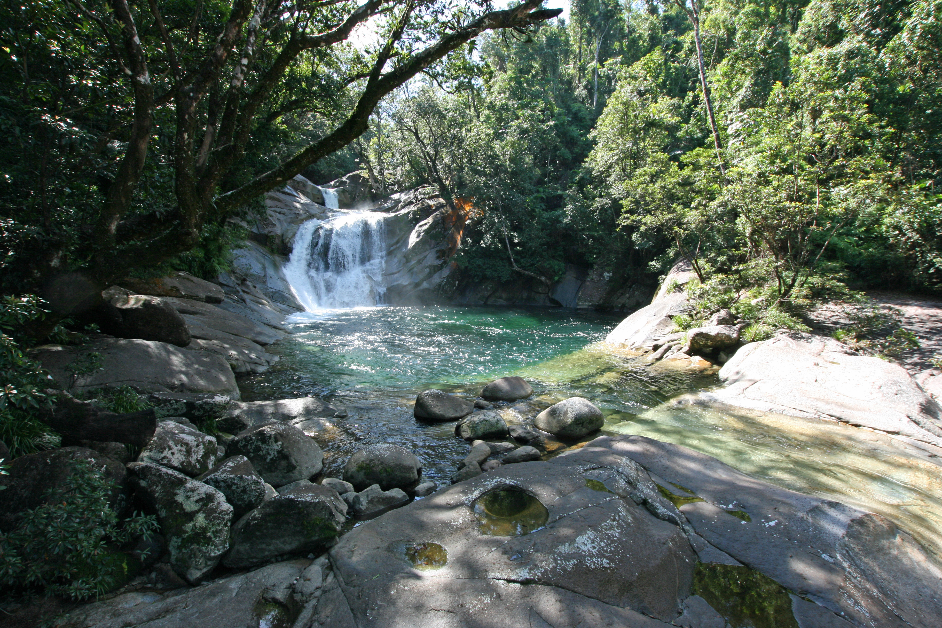
josephinefalls wooroonoorannationalpark fujigx617 mtbartlefrere
Josephine Falls
queensland 1910s cyclone 1918 statelibraryofqueensland babinda brucehighway slq isisford babindacreekhotel beattieshall
Beatties Hall after cyclone damage Babinda 1918 research
australia waterfalls queensland cairns wooroonooran
Josephine Falls
geotagged geo:lat=173426912381086 geo:lon=145923776632249
070822 Cairns - Townsville 001.jpg
geotagged geo:lat=173428240394096 geo:lon=145923752341039
070822 Cairns - Townsville 002.jpg
geotagged geo:lat=17343079804894 geo:lon=145923705557982
070822 Cairns - Townsville 003.jpg
geotagged geo:lat=173431142348548 geo:lon=145923699260255
070822 Cairns - Townsville 004.jpg
geotagged geo:lat=173431486648156 geo:lon=145923692962544
070822 Cairns - Townsville 005 Cane Trsp.jpg
life light sunset orange sun field yellow photoshop canon lens landscape photography 50mm prime gold golden photo dof bokeh country lifestyle australia depthoffield rays shallow f18 pp countrylife lightroom postprocessing 600d windescreen
The Colours of Summer
cairns tropicalnorthqueensland cascadingwater australia landscapes waterways mountbartlefrere stunningscenery rocks longexposure slowshutterspeeds nature stream josephinecreek wooroonoorannationalpark wettropics 1802000mmf3556 nikon d90
Josephine Falls
josephinecreek tropical rocks tropicalnorthqueensland australia mountbartlefrere cascades cairnsattractions longexposure slowshutterspeed rainforest scenic gorge nature landscapes creek river wettropics 1802000mmf3556 nikond90
Josephine Falls
life light sunset orange sun field yellow photoshop canon lens landscape photography 50mm prime gold golden photo dof bokeh country lifestyle australia depthoffield rays shallow f18 pp countrylife lightroom postprocessing 600d windescreen
Golden Summer
water forest landscape waterfall australia waterfalls queensland waterway tropicalnorthqueensland josephinefalls farnorthqueensland bartlefrere
Josephine Falls (8) top pool copy
babinda recreation queensland australia landscape goldenhole boulder light canon photography
The Golden Hole
trees woman water waterfall rocks australia queensland
Josephine falls
Swimming hole
arps paularps 2010 australia culture nature travel landscape seascape australie australië downunder pacific olympus olympusepl1 flickrcom flickr vakantiefotos adventuretravel reizen vakantie holiday leisure destinations unesco worldheritage
Babinda boulders (Queensland Australia 2010)
exif:aperture=ƒ11 camera:make=sony exif:focallength=28mm exif:make=sony geostate geocountry geocity exif:isospeed=160 geo:lon=145868985 geolocation geo:lat=17342157 exif:lens=fe2470mmf4zaoss camera:model=ilce6500 exif:model=ilce6500
Palm Cove-46
exif:focallength=24mm camera:make=sony geocountry exif:make=sony geostate geo:lon=14592674819944 geocity exif:isospeed=100 camera:model=ilce6500 geolocation exif:aperture=ƒ16 exif:lens=fe2470mmf4zaoss geo:lat=17315175000152 exif:model=ilce6500
Palm Cove-37
exif:aperture=ƒ14 camera:make=sony geocountry exif:make=sony geostate geocity exif:isospeed=100 geo:lat=17344615200212 geo:lon=1459145246003 geolocation exif:focallength=24mm exif:lens=fe2470mmf4zaoss camera:model=ilce6500 exif:model=ilce6500
Palm Cove-87
morning light field rural canon landscape eos golden afternoon dof bright bokeh farm farming depthoffield iso 100 shallow pp postprocessing 400d 116mm 55250mm
In the Field
park film water analog creek 35mm river nikon stream australia national queensland brook analogue nikonfm2 fm2 kodakfilm babinda nikonfm2n 135film jaredyeh hiphopmilk
Babinda National Park
josaphinefalls waterfalls waterfall wooroonoorannationalpark northqueensland queensland landscape fujigx617 fujigx617and90mmf56 fujivelvia50 film mediumformat 120filmformat
Josephine Falls
Top Falls - Josephoine Falls
josaphinefalls wooroonoorannationalpark northqueensland tropicalrainforest waterfall waterfalls landscape mediumformat 120filmformat fujigx617 fujigx617and90mmf56 fujivelvia50
Josaphine Falls, North Queensland
Needing a good flush out, but still lush and green!
rainforest australia queensland tropical vegetation babindaboulders photographerjaycossey landscapespictorials
Tropical Rainforest at Babinda Boulders Queensland, AU R0002 PFN