Elevation of Woodland, Vine Grove, KY, USA
Location: United States > Kentucky > Meade County > Vine Grove >
Longitude: -86.046563
Latitude: 37.8770875
Elevation: 206m / 676feet
Barometric Pressure: 99KPa
Elevation Map:
Satellite Map:
Related Photos:
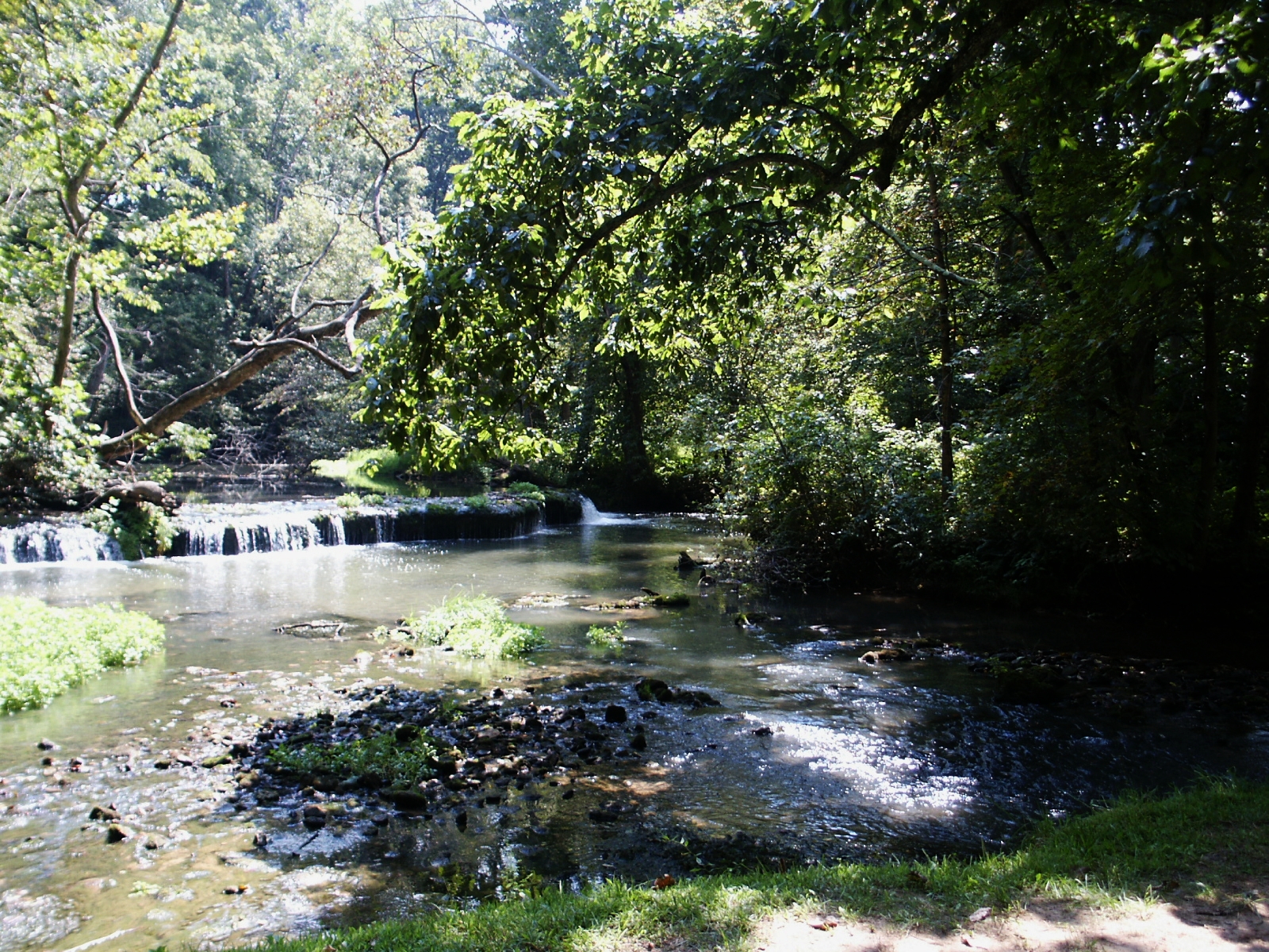
Saunders Springs - Spring

Saunders Springs - Spring

Dawn on the Field of Honor
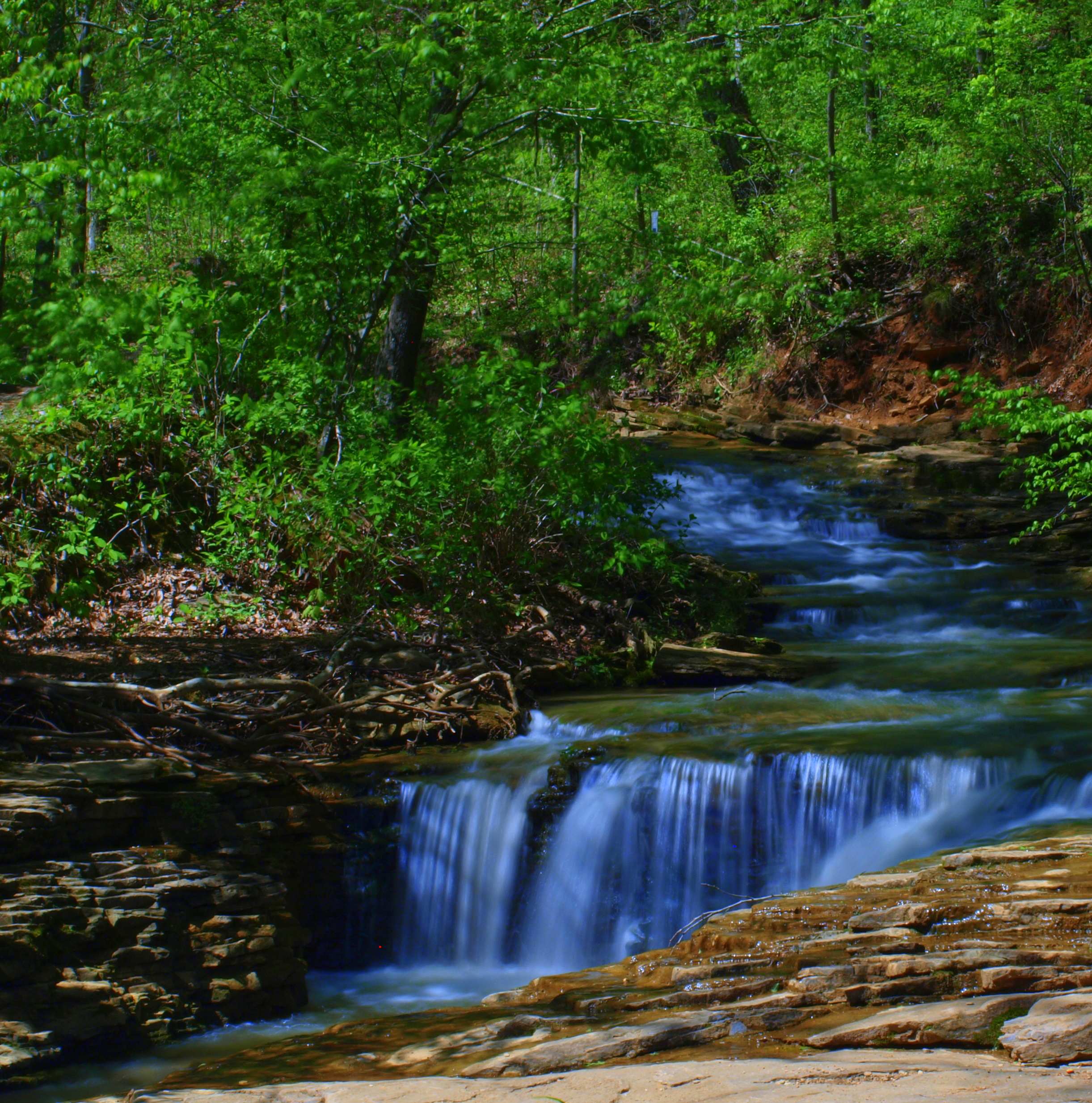
Stream & Small Falls at Doe Run Inn Property in Brandenburg Station, Kentucky
Topographic Map of Woodland, Vine Grove, KY, USA
Find elevation by address:

Places near Woodland, Vine Grove, KY, USA:
Pinwheel Road
Flaherty Rd, Vine Grove, KY, USA
385 Rolling Acres Dr
65 Nathan Ct
100 Walnut Grove Rd
Rock Haven
Rock Ridge Rd, Brandenburg, KY, USA
Fort Knox
314 Greenbriar Dr
314 Greenbriar Dr
Fox Den Store-it, Llc - Vine Grove / Fort Knox
Vine Grove
Estrada Ave, Fort Knox, KY, USA
Radcliff
606 Pearman Ave
990 Doe Run Ekron Rd
1139 Burns Rd
Brandenburg Rd, Brandenburg, KY, USA
Millcreek Rd, Radcliff, KY, USA
Rineyville-Big Springs Rd, Rineyville, KY, USA
Recent Searches:
- Elevation of Corso Fratelli Cairoli, 35, Macerata MC, Italy
- Elevation of Tallevast Rd, Sarasota, FL, USA
- Elevation of 4th St E, Sonoma, CA, USA
- Elevation of Black Hollow Rd, Pennsdale, PA, USA
- Elevation of Oakland Ave, Williamsport, PA, USA
- Elevation of Pedrógão Grande, Portugal
- Elevation of Klee Dr, Martinsburg, WV, USA
- Elevation of Via Roma, Pieranica CR, Italy
- Elevation of Tavkvetili Mountain, Georgia
- Elevation of Hartfords Bluff Cir, Mt Pleasant, SC, USA