Elevation of Wood Duck Dr, Woodbine, GA, USA
Location: United States > Georgia > Camden County > Woodbine >
Longitude: -81.622966
Latitude: 30.8590885
Elevation: -10000m / -32808feet
Barometric Pressure: 295KPa
Elevation Map:
Satellite Map:
Related Photos:

Foggy morning on the St Marys River

Gonatista grisea (female), Plum Orchard, Cumberland Island National Seashore, Camden County, Georgia 2

We're Glad Georgia's On Your Mind

Spectrums From The West

DON'T FORGET THE SOUVENIRS

Cumberland River, Brickhill River, and Cumberland Island, Georgia

St. Marys, Georgia

BORDER MOTEL

Fox Sparrow (Red)

Entering Florida

Entering Florida

Our 4th state in as many days

More bikes

Four human powered bikes

This is where we had lunch
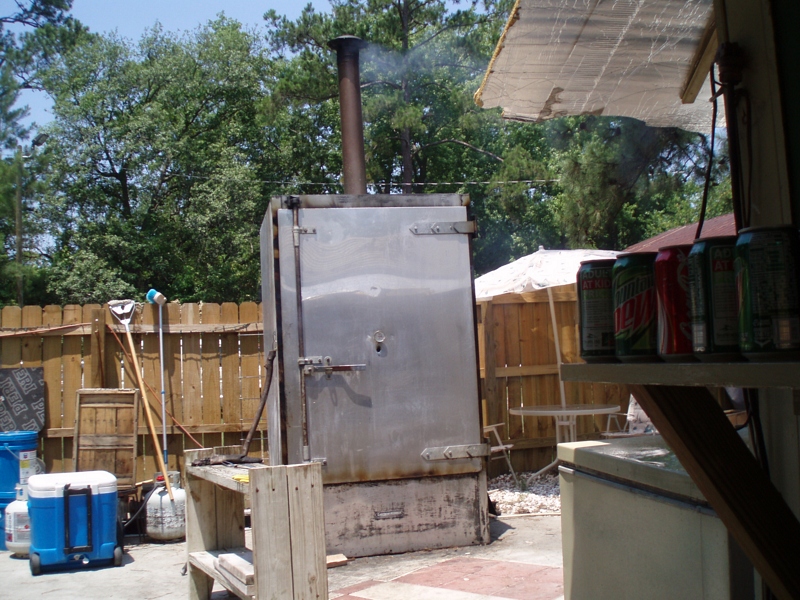
The smoker

..and people

A Good Sunday

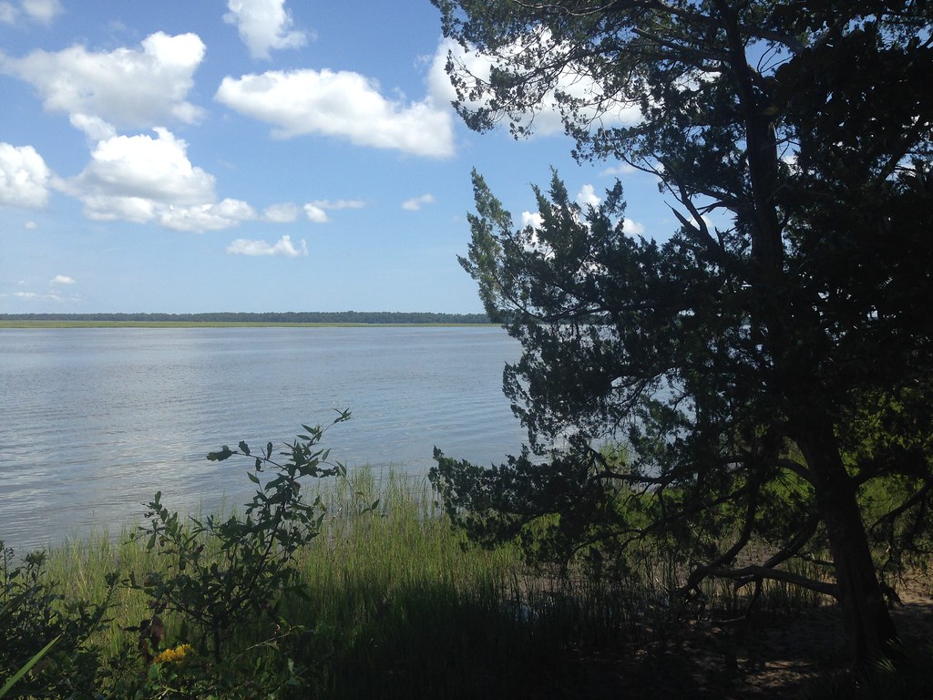
St Marys River

Face to Face

Crooked River State Park 16

Crooked River State Park 14

Crooked River State Park 13

Crooked River State Park 3

Crooked River State Park 15
Crooked River State Park

Last northbound run across the Marshes

Drone shot

Like a Dream

St Mary's Steam Express

Steel Truss Bridge (IR)

Saturday Morning

Sunrise drone shot
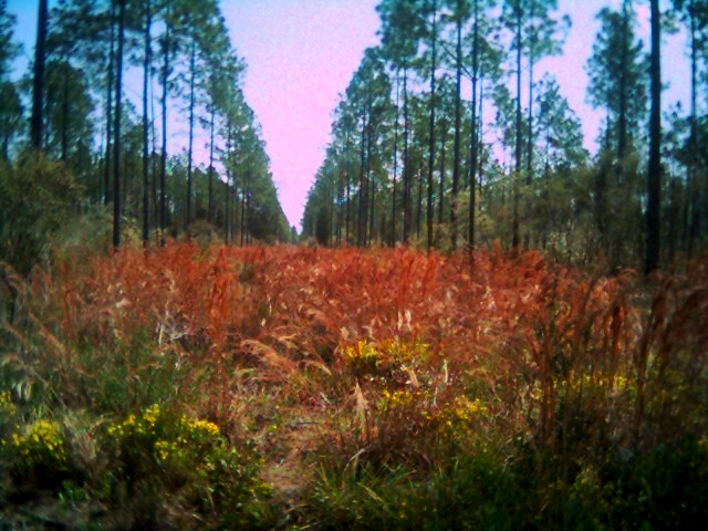
Row thin

Kings Bay Submarine Base

Cumberland Island Georgia 268
Topographic Map of Wood Duck Dr, Woodbine, GA, USA
Find elevation by address:

Places near Wood Duck Dr, Woodbine, GA, USA:
256 Wood Duck Dr
136 Wood Duck Dr
106 Wood Duck Dr
29 Green Wing Rd
28 Wood Duck Dr
422 Deerwood Village Dr
60 Sadler Cove Dr
Harrietts Bluff Rd, Woodbine, GA, USA
Pine Dr, Woodbine, GA, USA
90 Ravine Ct, Woodbine, GA, USA
378 Sheffield Island Rd
229 Harbor View Dr
Marina Isle Drive
Harrietts Bluff Rd, Woodbine, GA, USA
Cason Noah Drive
Riley Hunter Dr, Kingsland, GA, USA
47 Crooked River Dr, Woodbine, GA, USA
104 Cove Way
110 Fairway Dr
Camden County
Recent Searches:
- Elevation of Corso Fratelli Cairoli, 35, Macerata MC, Italy
- Elevation of Tallevast Rd, Sarasota, FL, USA
- Elevation of 4th St E, Sonoma, CA, USA
- Elevation of Black Hollow Rd, Pennsdale, PA, USA
- Elevation of Oakland Ave, Williamsport, PA, USA
- Elevation of Pedrógão Grande, Portugal
- Elevation of Klee Dr, Martinsburg, WV, USA
- Elevation of Via Roma, Pieranica CR, Italy
- Elevation of Tavkvetili Mountain, Georgia
- Elevation of Hartfords Bluff Cir, Mt Pleasant, SC, USA