Elevation of Wisemans Ferry NSW, Australia
Location: Australia > New South Wales >
Longitude: 150.985365
Latitude: -33.386019
Elevation: 62m / 203feet
Barometric Pressure: 101KPa
Elevation Map:
Satellite Map:
Related Photos:

MacDonald River
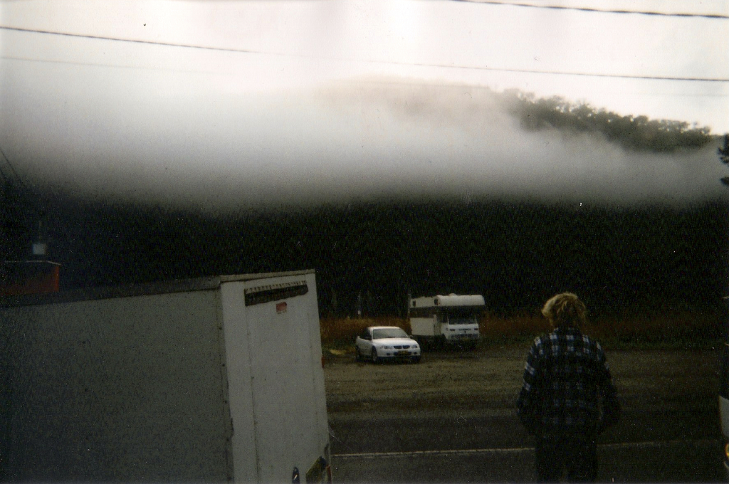
Low Clouds

1703 The Hawkesbury

Marramarra NP Canoelands Exploration
Topographic Map of Wisemans Ferry NSW, Australia
Find elevation by address:

Places near Wisemans Ferry NSW, Australia:
84 Singleton Mills
Laughtondale
Maroota
251 Greens Rd
Hawkesbury River
Lower Portland
Canoelands
317 Lower Colo Rd
Riverside Oaks Golf Resort
68 Prentis Ln
43 Biara Rd
177 Wisemans Ferry Rd
27 Wianamatta Cct
Spencer
4428 Wisemans Ferry Rd
Wianamatta Circuit
Wianamatta Circuit
1 Wianamatta Cct
Caddie Road
312 Halcrows Rd
Recent Searches:
- Elevation of Corso Fratelli Cairoli, 35, Macerata MC, Italy
- Elevation of Tallevast Rd, Sarasota, FL, USA
- Elevation of 4th St E, Sonoma, CA, USA
- Elevation of Black Hollow Rd, Pennsdale, PA, USA
- Elevation of Oakland Ave, Williamsport, PA, USA
- Elevation of Pedrógão Grande, Portugal
- Elevation of Klee Dr, Martinsburg, WV, USA
- Elevation of Via Roma, Pieranica CR, Italy
- Elevation of Tavkvetili Mountain, Georgia
- Elevation of Hartfords Bluff Cir, Mt Pleasant, SC, USA