Elevation of Winnemucca, NV, USA
Location: United States > Nevada > Winnemucca >
Longitude: -118.48639
Latitude: 41.1650556
Elevation: 1391m / 4564feet
Barometric Pressure: 86KPa
Elevation Map:
Satellite Map:
Related Photos:

Snow patch and view East

The final ascent

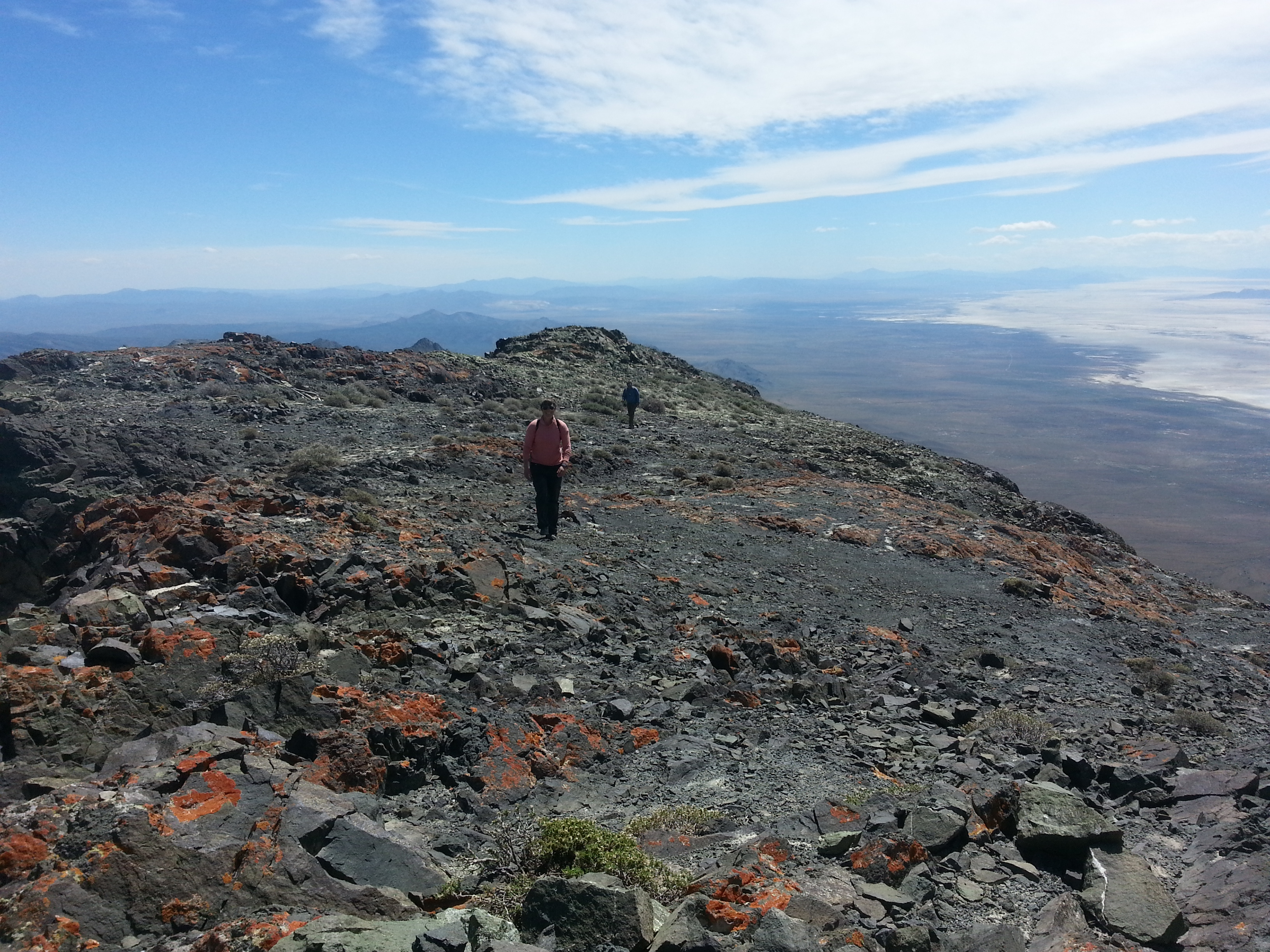
Ridge navigation

Dan and Renee approach the pass
King Lear summit ridge

Bighorn remains
Topographic Map of Winnemucca, NV, USA
Find elevation by address:

Places near Winnemucca, NV, USA:
Recent Searches:
- Elevation of Corso Fratelli Cairoli, 35, Macerata MC, Italy
- Elevation of Tallevast Rd, Sarasota, FL, USA
- Elevation of 4th St E, Sonoma, CA, USA
- Elevation of Black Hollow Rd, Pennsdale, PA, USA
- Elevation of Oakland Ave, Williamsport, PA, USA
- Elevation of Pedrógão Grande, Portugal
- Elevation of Klee Dr, Martinsburg, WV, USA
- Elevation of Via Roma, Pieranica CR, Italy
- Elevation of Tavkvetili Mountain, Georgia
- Elevation of Hartfords Bluff Cir, Mt Pleasant, SC, USA