Elevation of Winkelman, AZ, USA
Location: United States > Arizona > Pinal County >
Longitude: -110.77093
Latitude: 32.9875659
Elevation: 601m / 1972feet
Barometric Pressure: 94KPa
Elevation Map:
Satellite Map:
Related Photos:
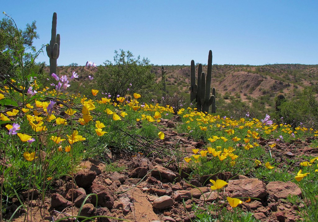
Spring Awakening
View East from Highway 77 near Dudleyville, Arizona
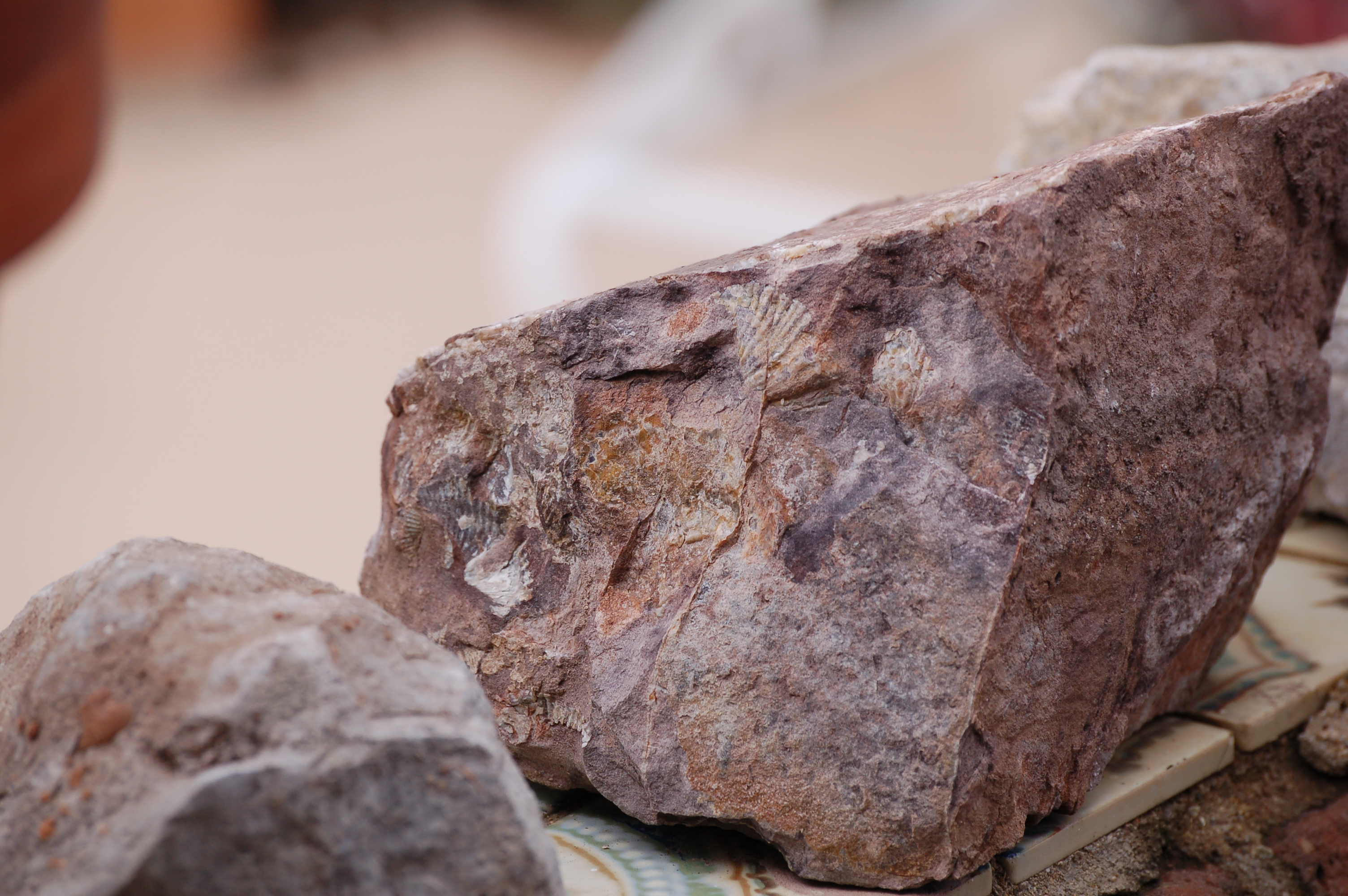
Anthracospirifer Brachiopod Fossils from Winkelman, AZ
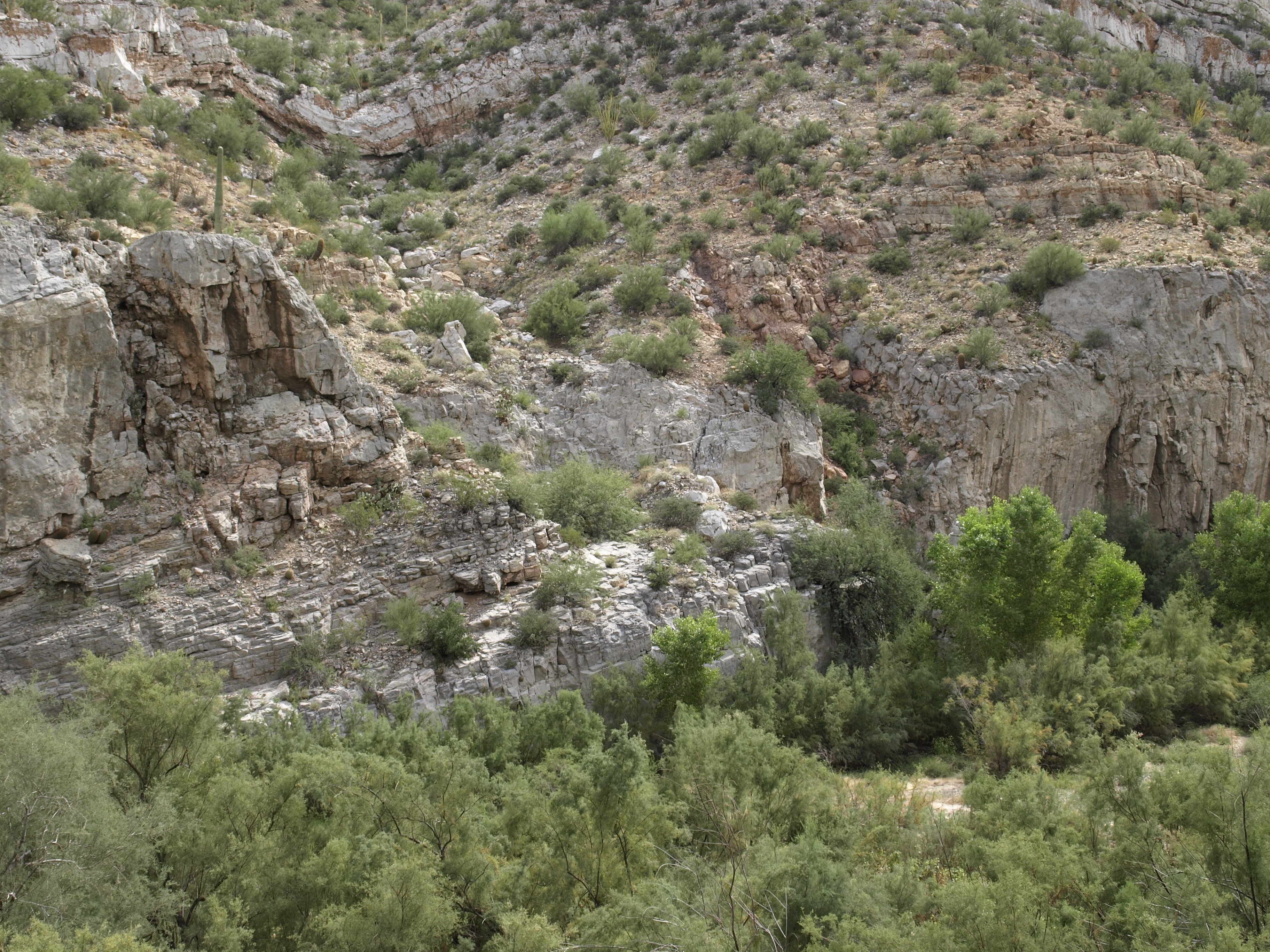
The mother of all anticlines

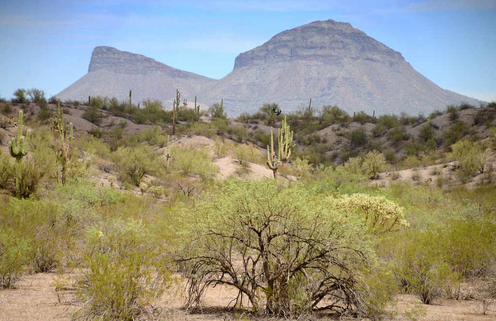
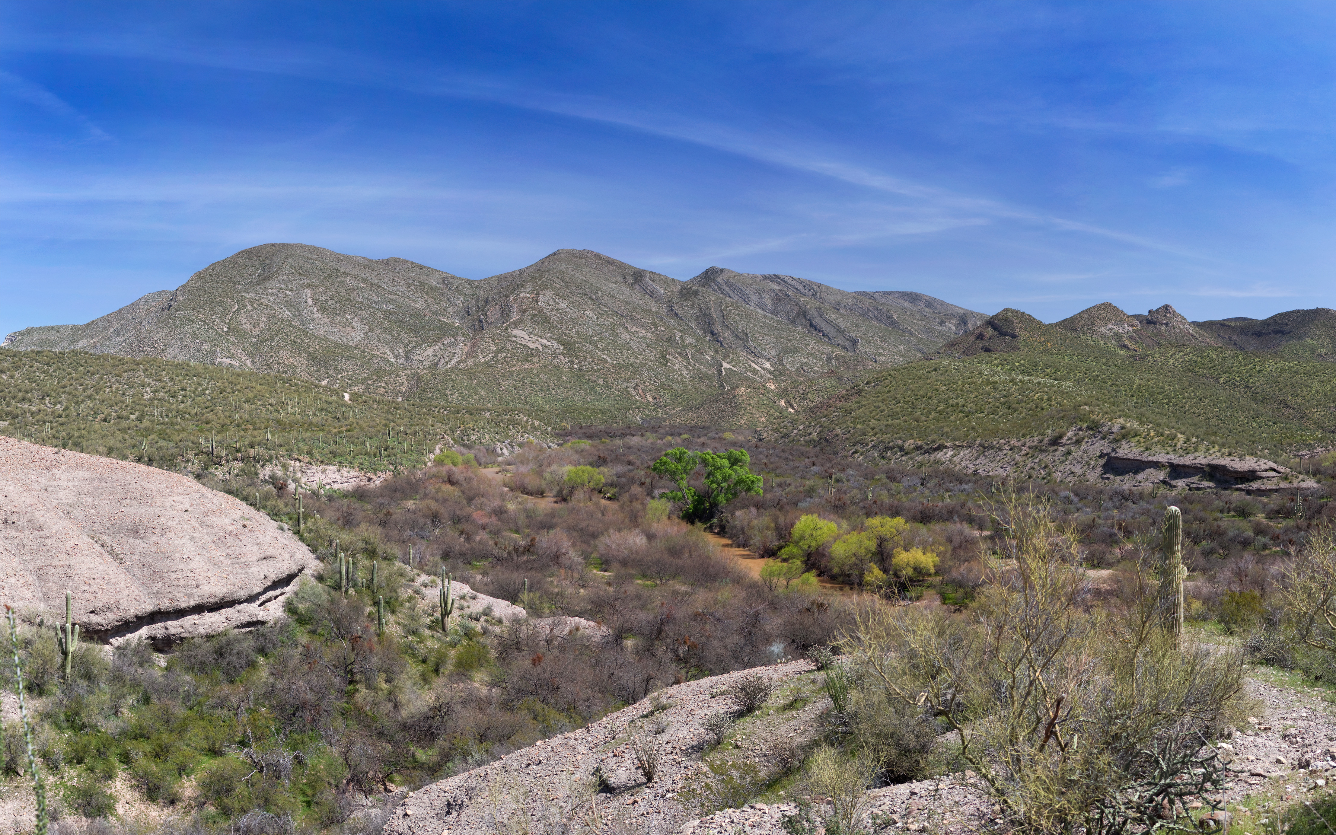
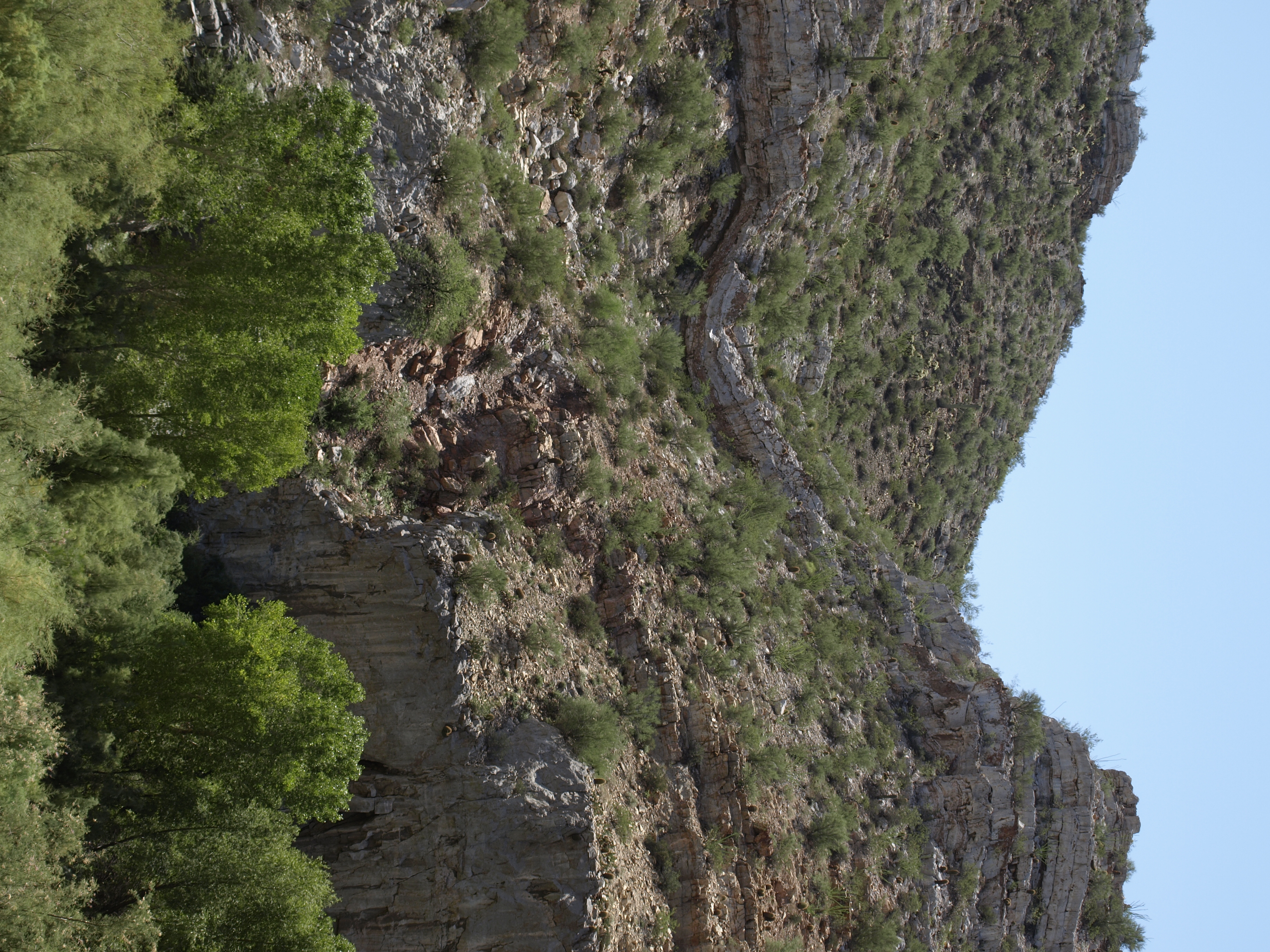
View of Galiuro Mountains from Freeman Road, W of Dudleyville, AZ
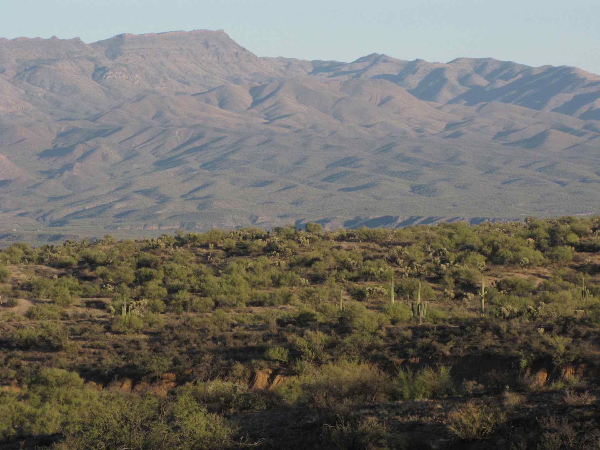
View of Galiuro Mountains from Freeman Road, W of Dudleyville, AZ
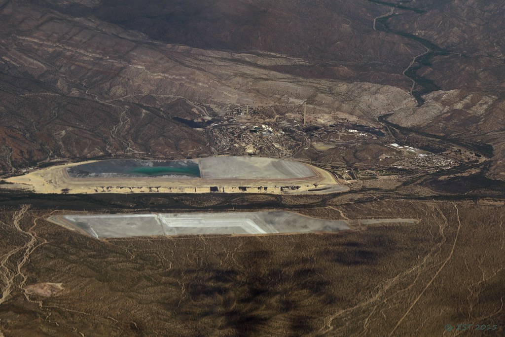
Mine @ Winkelman, AZ

U.S. Post Office, Hayden, Arizona 85135
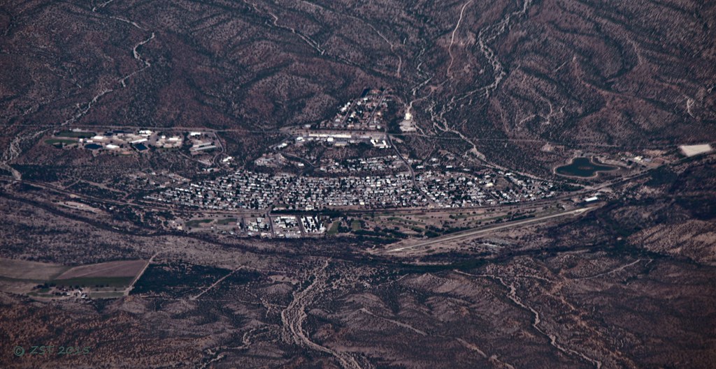
Kearny, AZ
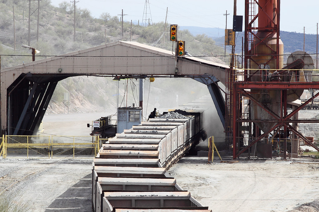
CBRY OT1 Dumping ore at Hayden, AZ
CBRY SB OT1, Kearny, AZ

Winkelman Mining

View of Galiuro Mountains from Freeman Road, W of Dudleyville, Arizona
CBRY 505, EB, HAYDEN, AZ. 4-16-13
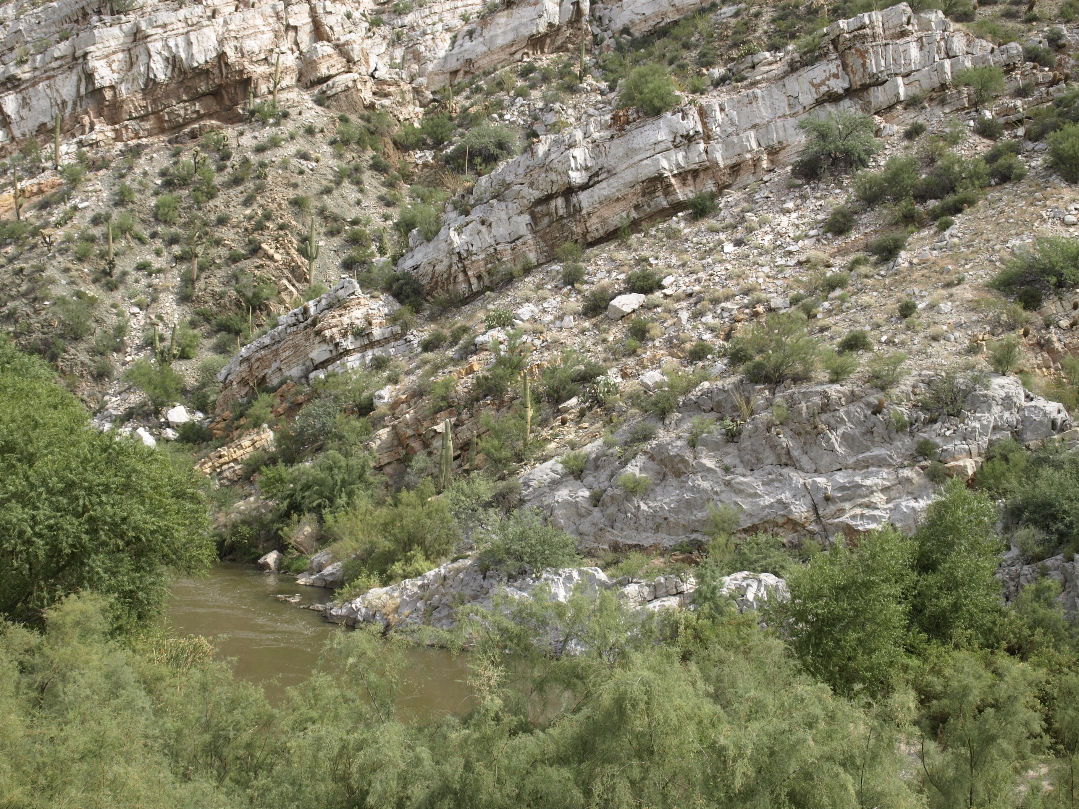
Anticline on the Gila River
Gila River From Above 1
Gila River From Above 2
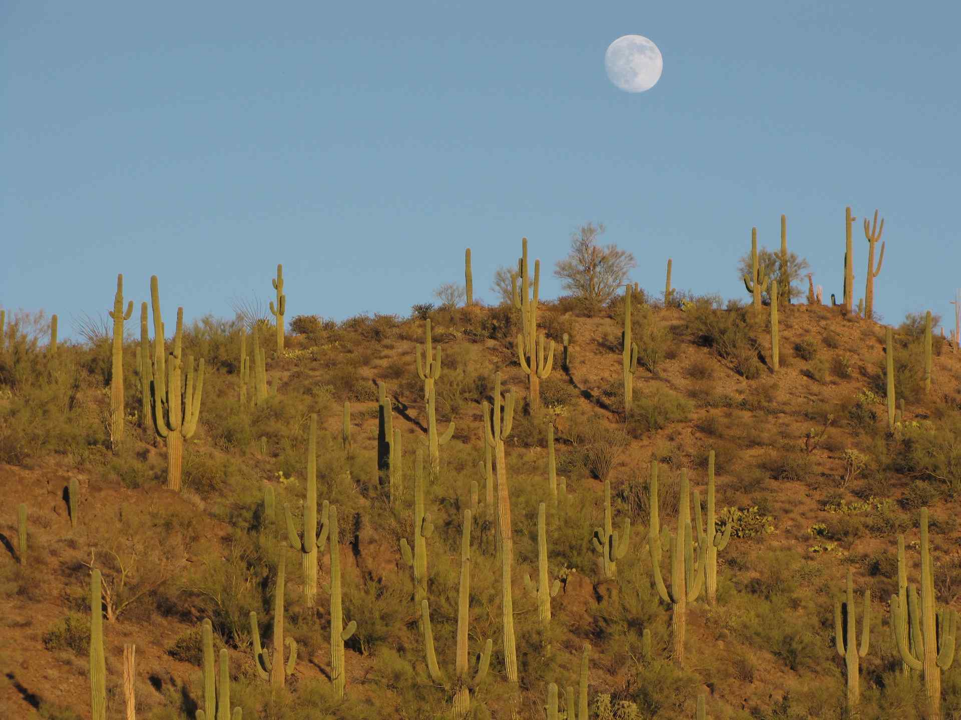
Full moon rising over hill with Saguaro cacti; Freeman Road, W of Dudleyville, Arizona
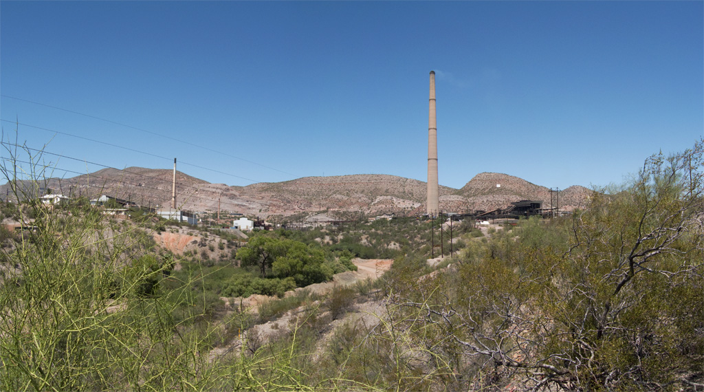
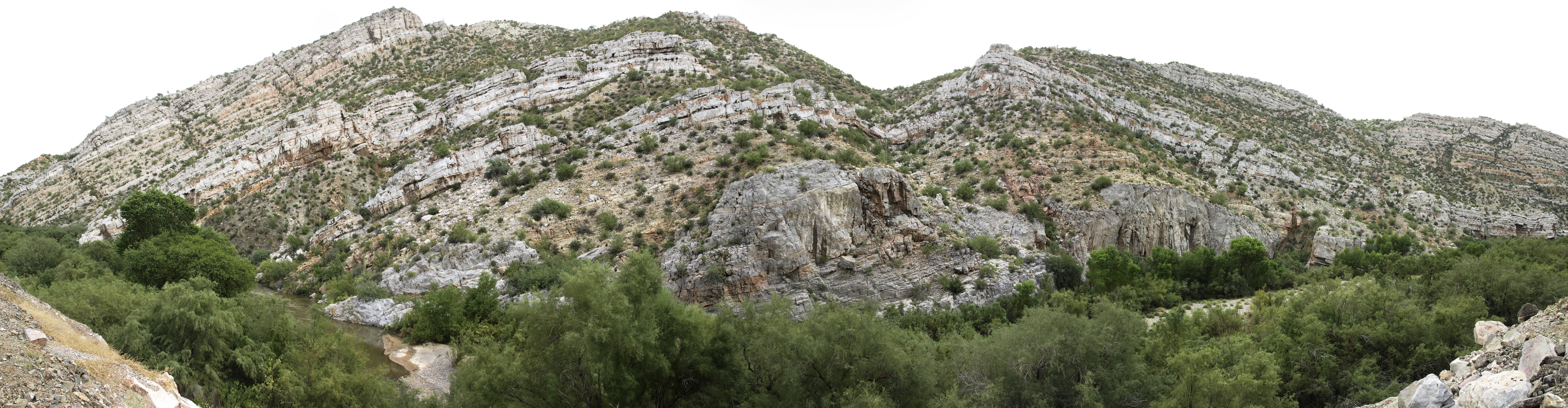
Hayden Smelter Panoramic
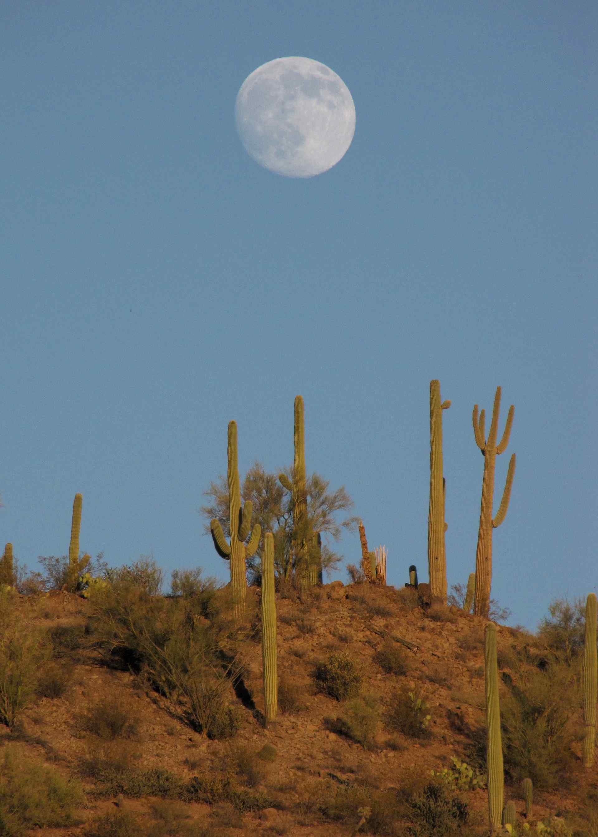
Full moon and Saguaro cacti; near Dudleyville, AZ
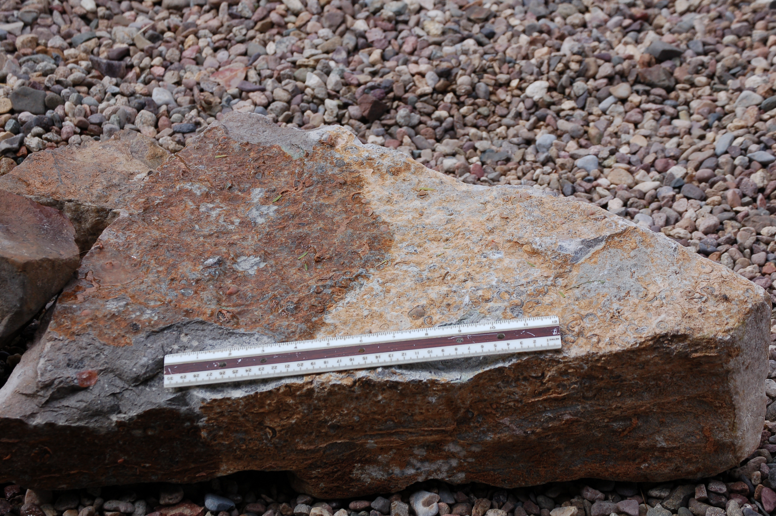
Brachiopod & Crinoid Fossils from Winkelman, AZ
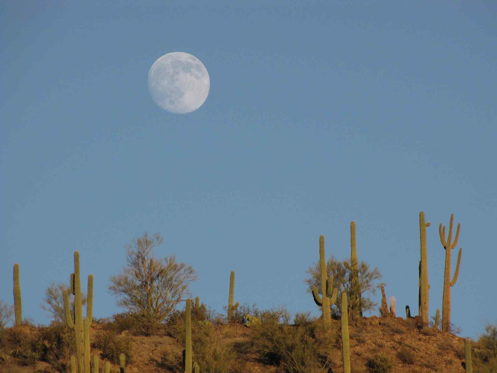
Full moon rising over hill with Saguaro cacti; Freeman Road, W of Dudleyville, AZ
Center of anticline on the Gila River
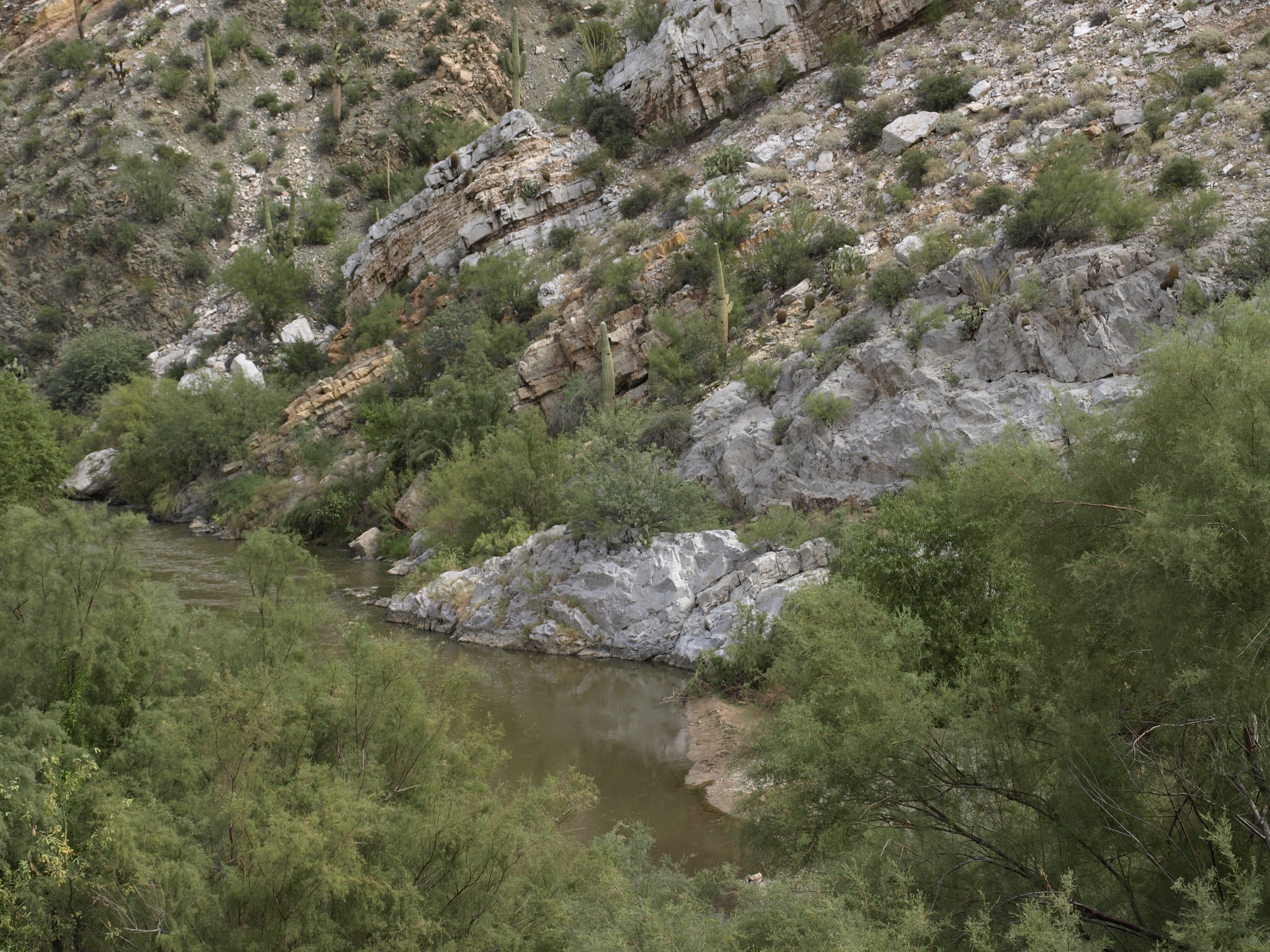
Gila River, Arizona
Gila River, Arizona
Gila River, Arizona

Grasshopper Sparrow
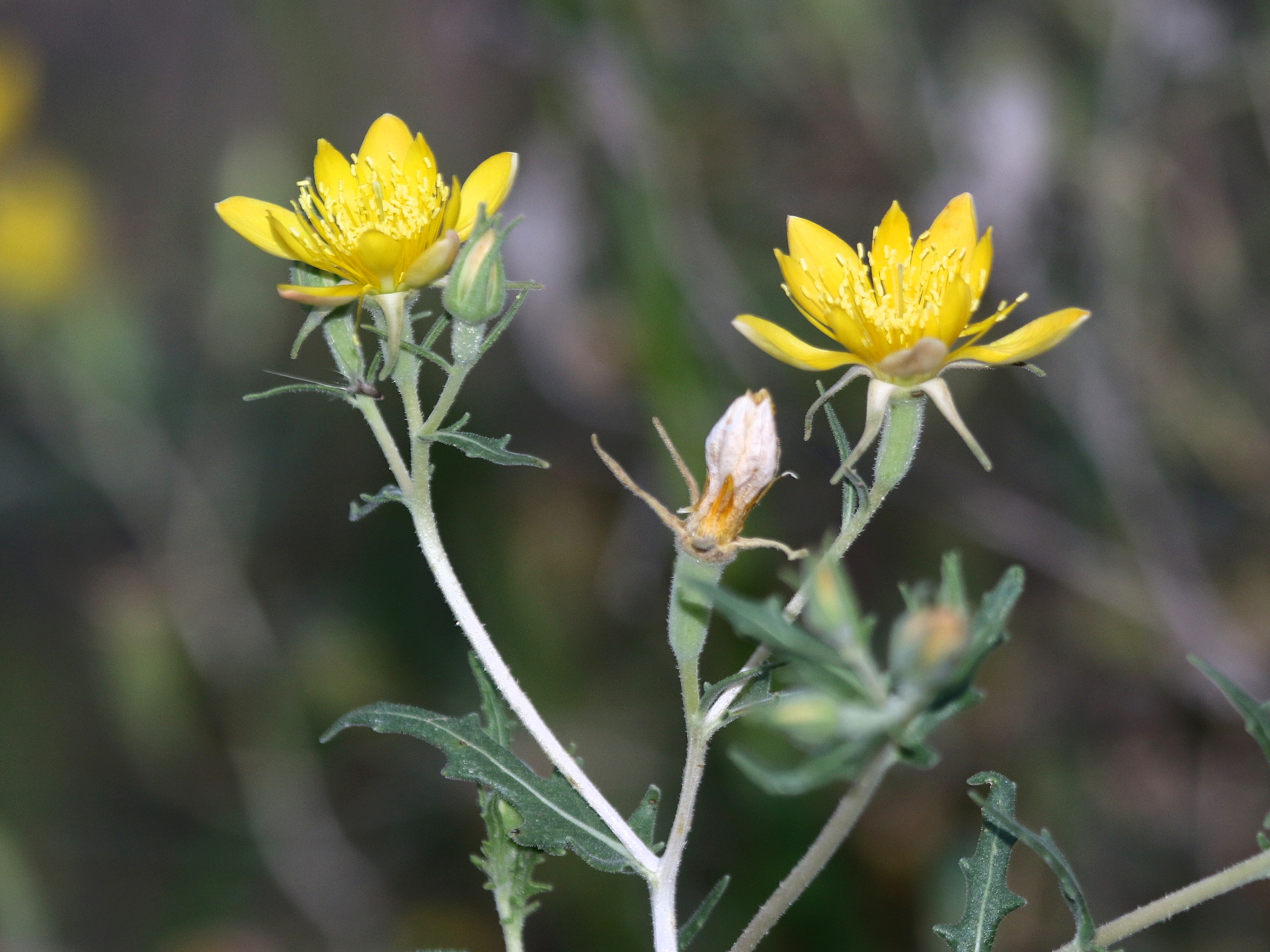
Adonis Blazing Star (Mentzelia multiflora), Dudleyville, AZ, 9-17-16
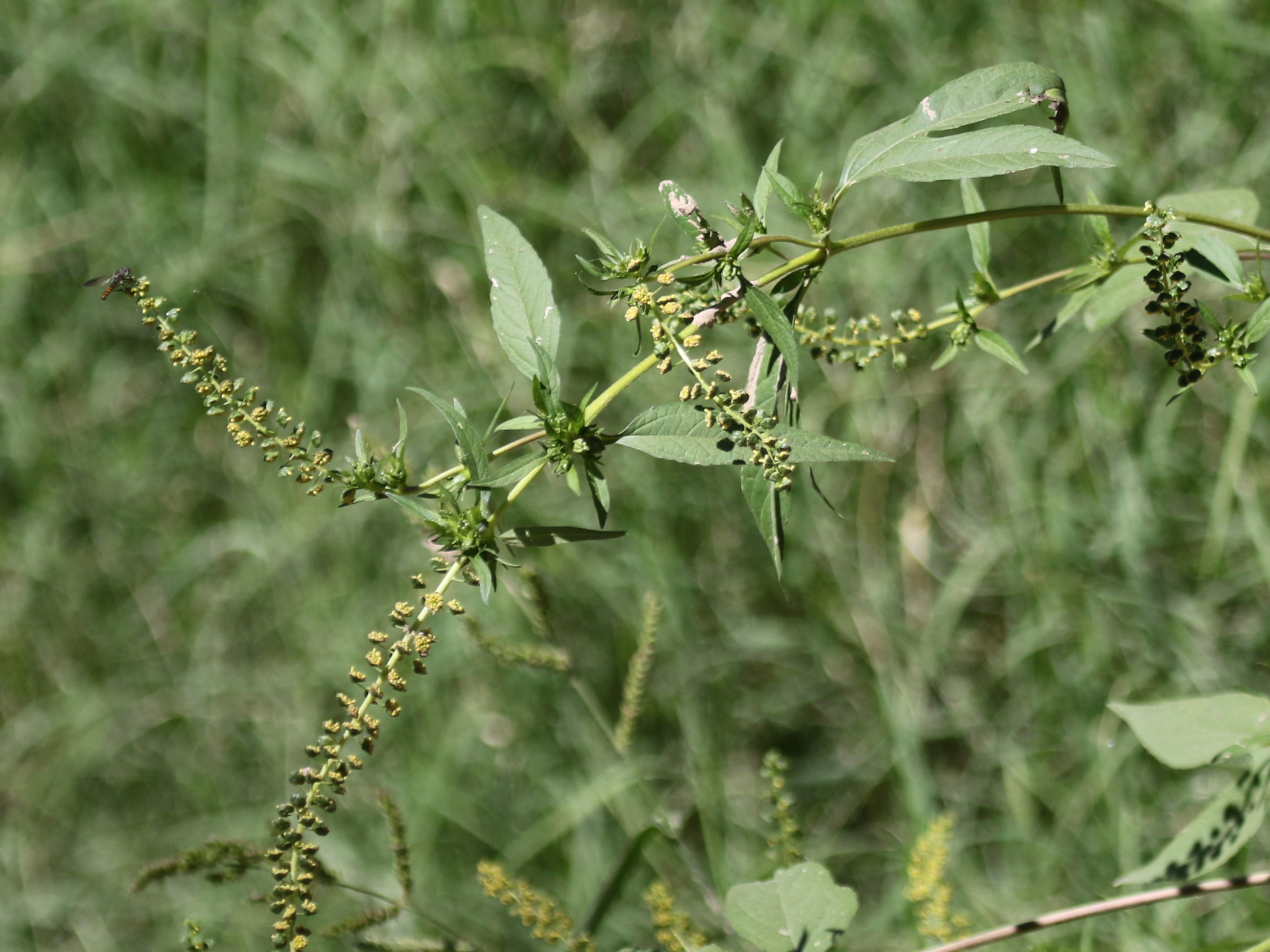
Powell's Amaranth (Amaranthus powellii), Dudleyville, AZ, 9-17-16 B
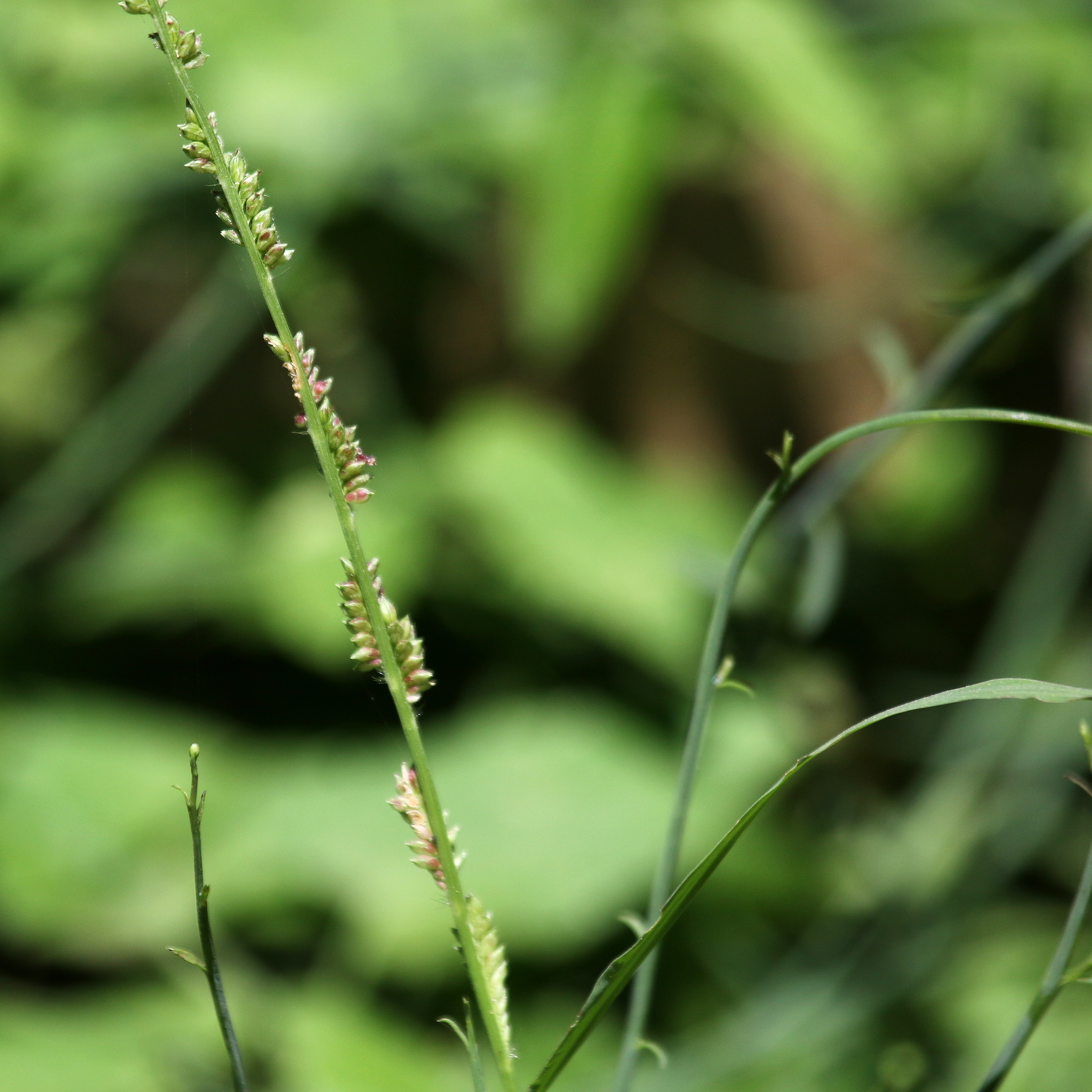
Vine Mesquite (Hopia obtusa), Dudleyville, AZ, 9-17-16
Topographic Map of Winkelman, AZ, USA
Find elevation by address:

Places in Winkelman, AZ, USA:
Places near Winkelman, AZ, USA:
San Pedro River
N Cam Rio, Kearny, AZ, USA
4th St, Hayden, AZ, USA
Hayden
Dudleyville
Kearny
Airport Rd, Kearny, AZ, USA
E Ray Junction Rd, Kearny, AZ, USA
88965 E Aravaipa Rd
E Lewis Ranch Rd, Winkelman, AZ, USA
Riverside
E Ray Junction Rd, Kearny, AZ, USA
E Old Ray Rd, Kearny, AZ, USA
Mammoth
Main St, Mammoth, AZ, USA
86160 E Bentwood St
West Oro Creek Drive
9364 6 Shooter Canyon Rd
Triangle L Ranch Bed And Breakfast
North Redington Road
Recent Searches:
- Elevation of Corso Fratelli Cairoli, 35, Macerata MC, Italy
- Elevation of Tallevast Rd, Sarasota, FL, USA
- Elevation of 4th St E, Sonoma, CA, USA
- Elevation of Black Hollow Rd, Pennsdale, PA, USA
- Elevation of Oakland Ave, Williamsport, PA, USA
- Elevation of Pedrógão Grande, Portugal
- Elevation of Klee Dr, Martinsburg, WV, USA
- Elevation of Via Roma, Pieranica CR, Italy
- Elevation of Tavkvetili Mountain, Georgia
- Elevation of Hartfords Bluff Cir, Mt Pleasant, SC, USA