Elevation of Wingham, ON N0G, Canada
Location: Canada > Ontario > Huron County > North Huron >
Longitude: -81.311660
Latitude: 43.8879476
Elevation: 319m / 1047feet
Barometric Pressure: 98KPa
Elevation Map:
Satellite Map:
Related Photos:
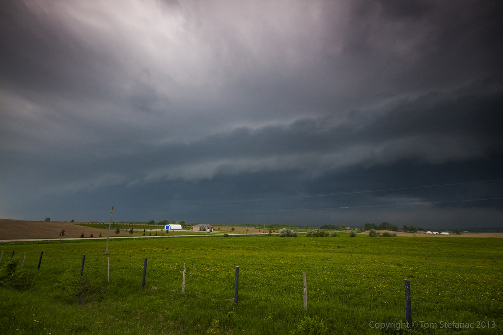
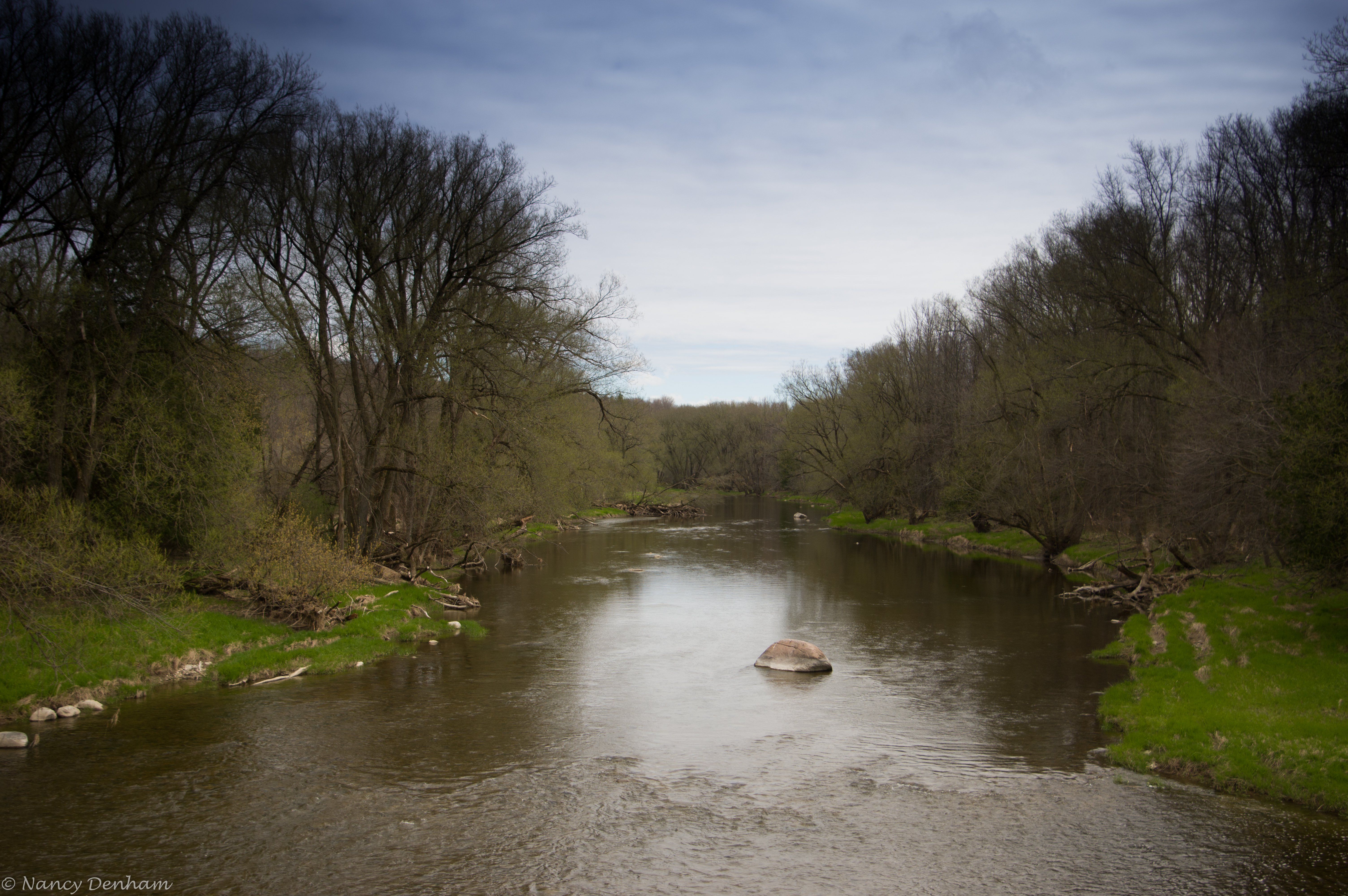
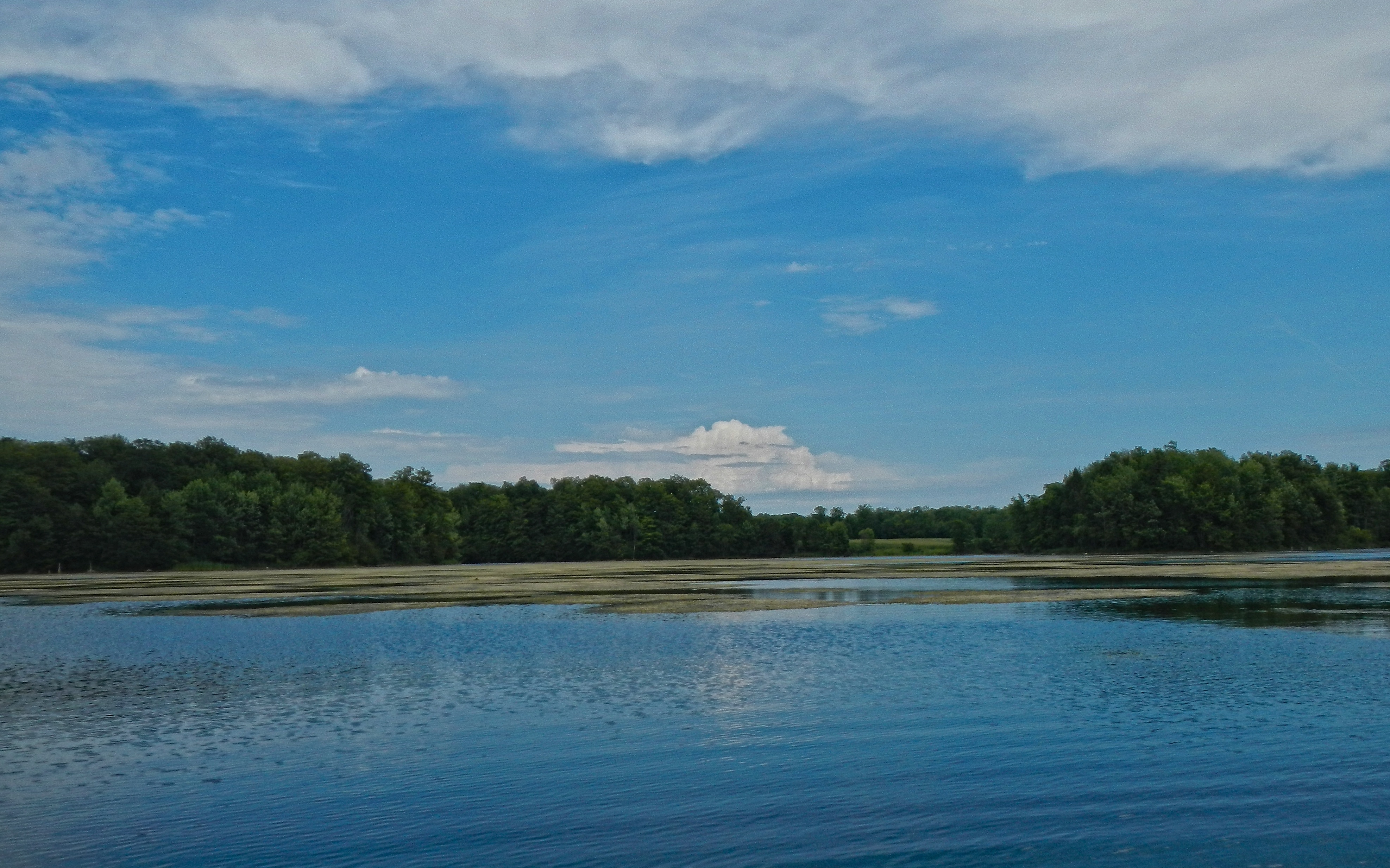
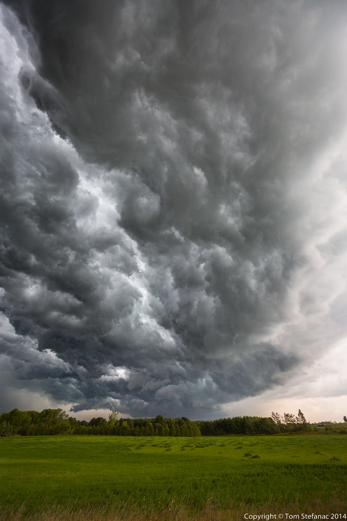
Coming into View
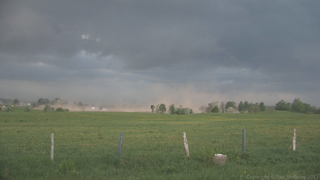
Video Camera Grab
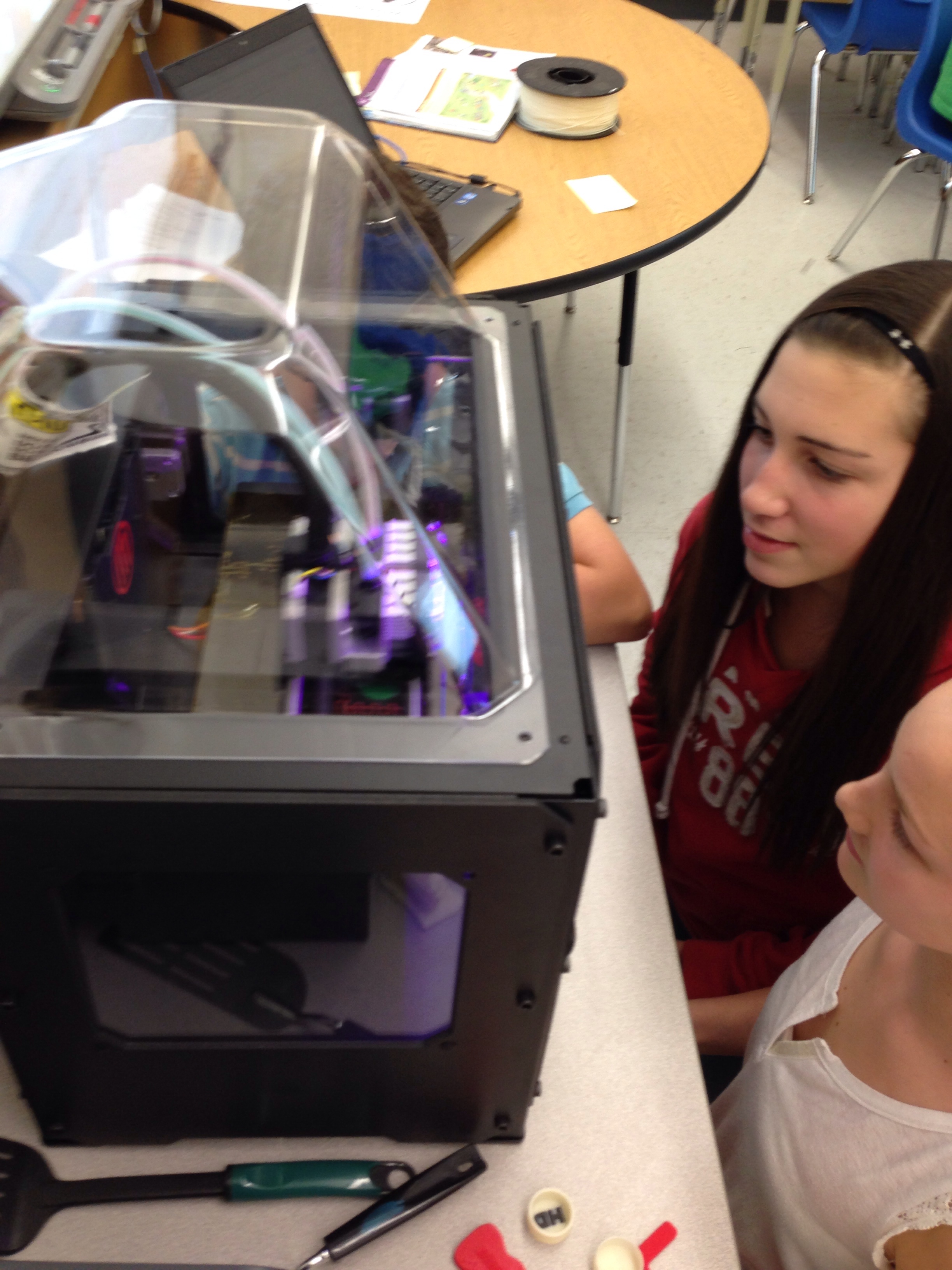
Day 337: Anticipating the .stl file @Makerbot

Day 160: It's not what you think
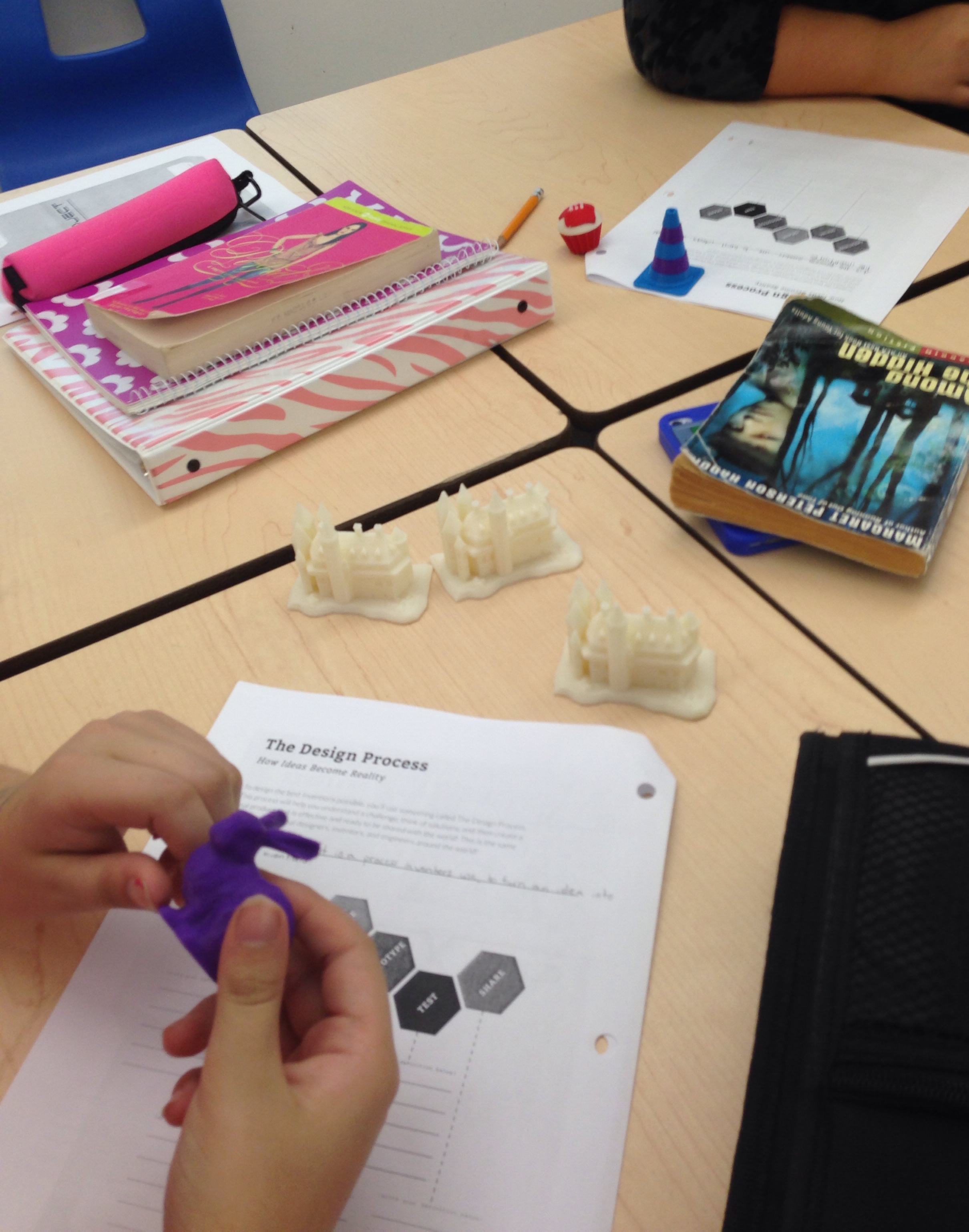
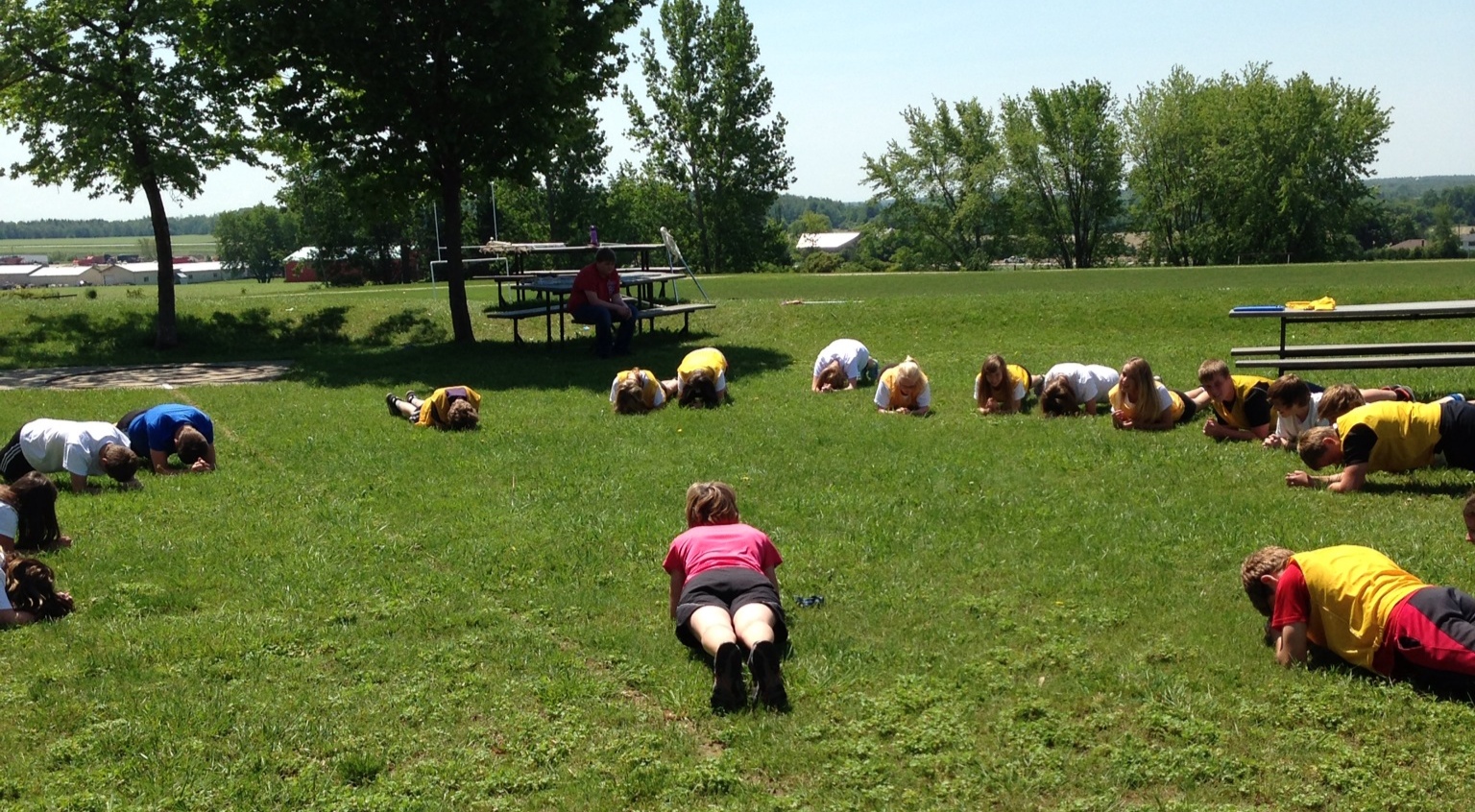
Day 1 City X Design Project
Alice Munro 2016 (2 of 8)

August 21, 2011
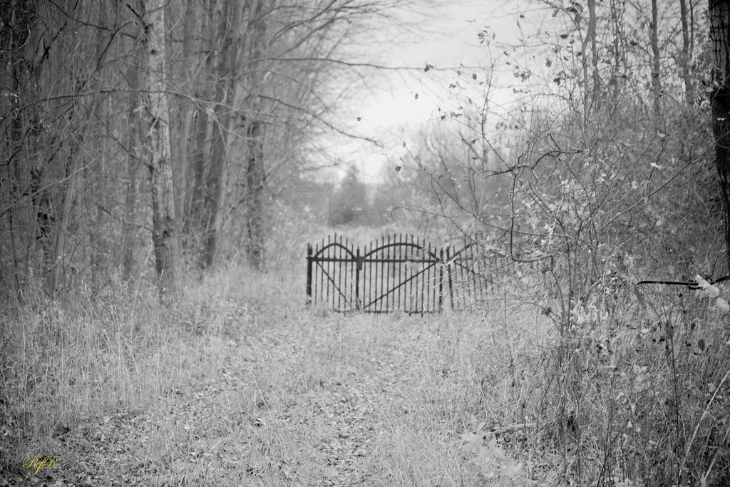
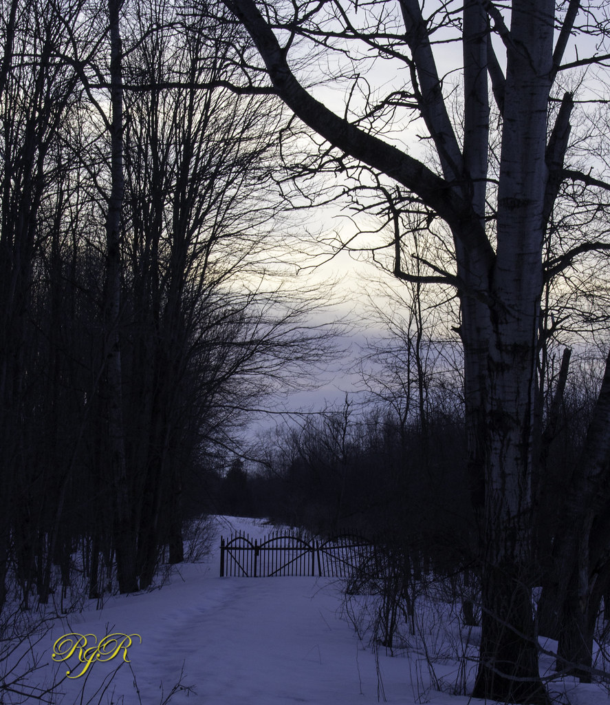
The Gate
orange hill road
20140905-_E1A8934.jpg
The Gate
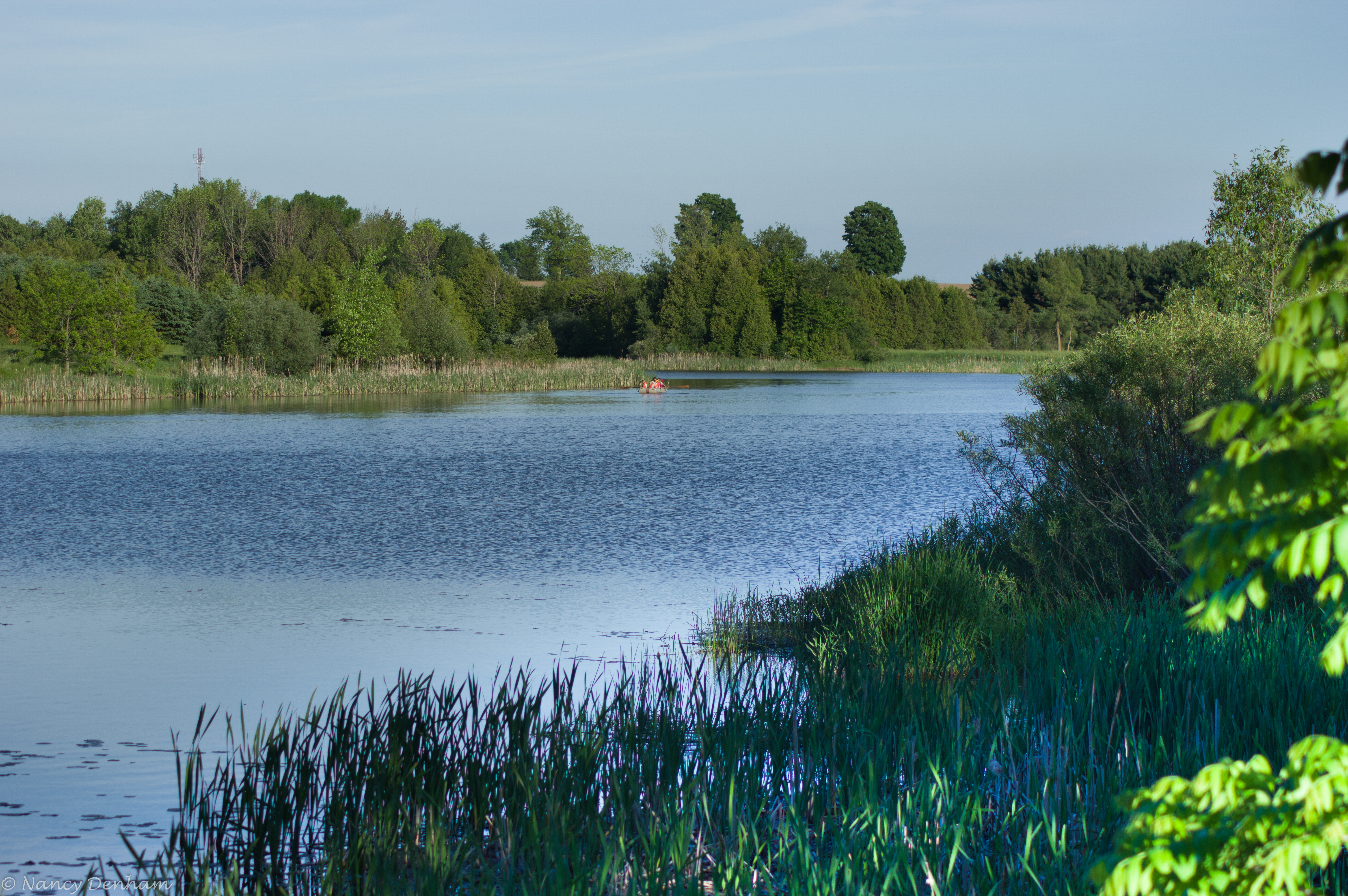
Whales Mouth

20140905-_E1A8946.jpg
20140905-_E1A8929.jpg
More Contrast

Day 11: Winter sky in the morning
203/365+1
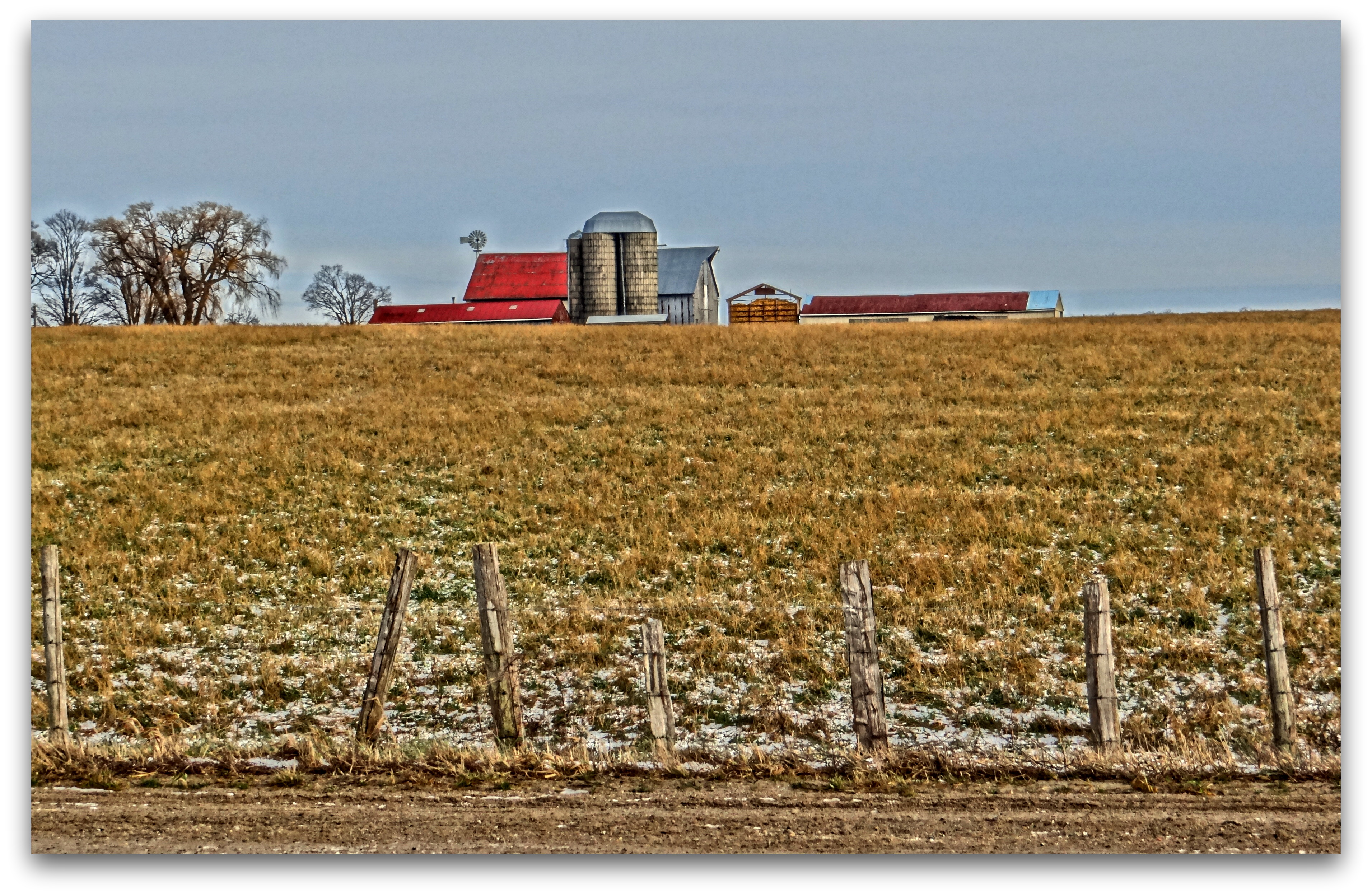
Fence Friday
Day 163: Planks

Alice Munro 2016 (4 of 8)

Alice Munro 2016 (8 of 8)

Bluevale (13 of 24)
Bluevale (1 of 24)
20140905-_E1A8941.jpg
Topographic Map of Wingham, ON N0G, Canada
Find elevation by address:

Places near Wingham, ON N0G, Canada:
270 Carling Terrace
39901 Huron County Rd 86
39901 Huron County Rd 86
39901 Huron County Rd 86
Bluevale
Glenannon Rd, Wingham, ON N0G 2W0, Canada
Brandon Road
19 Brandon Rd
6 Whitechurch St, Wingham, ON N0G 2W0, Canada
North Huron
Teeswater
77 Hillcrest St E, Teeswater, ON N0G 2S0, Canada
Donnybrook Line, Lucknow, ON N0G 2H0, Canada
Langside St, Lucknow, ON N0G 2H0, Canada
Brussels Line, Bluevale, ON N0G 1G0, Canada
41217 St Michaels Rd
250 Turnberry St
250 Turnberry St
250 Turnberry St
250 Turnberry St
Recent Searches:
- Elevation of Corso Fratelli Cairoli, 35, Macerata MC, Italy
- Elevation of Tallevast Rd, Sarasota, FL, USA
- Elevation of 4th St E, Sonoma, CA, USA
- Elevation of Black Hollow Rd, Pennsdale, PA, USA
- Elevation of Oakland Ave, Williamsport, PA, USA
- Elevation of Pedrógão Grande, Portugal
- Elevation of Klee Dr, Martinsburg, WV, USA
- Elevation of Via Roma, Pieranica CR, Italy
- Elevation of Tavkvetili Mountain, Georgia
- Elevation of Hartfords Bluff Cir, Mt Pleasant, SC, USA