Elevation of Windswept Ct, Fallston, MD, USA
Location: United States > Maryland > Harford County > 4, Marshall > Fallston >
Longitude: -76.465111
Latitude: 39.5449975
Elevation: 169m / 554feet
Barometric Pressure: 99KPa
Elevation Map:
Satellite Map:
Related Photos:

Cromwell Valley Park ~ following the stream

Jerusalem Mill Village ~ porch view

Jerusalem Mill Village
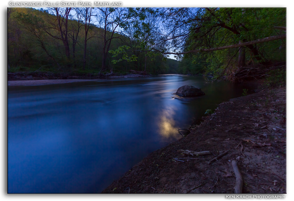
By the Dawns Early Moonlight (Updated)

Amongst Us

Clear View of a Newly Renovated and Expanded Home in the Back Yard

First Shot of 2010!

Knobby Headed Chinese Goose

Parallax Glide

Gunpowder 3-9-13 (4)

Stretching Out
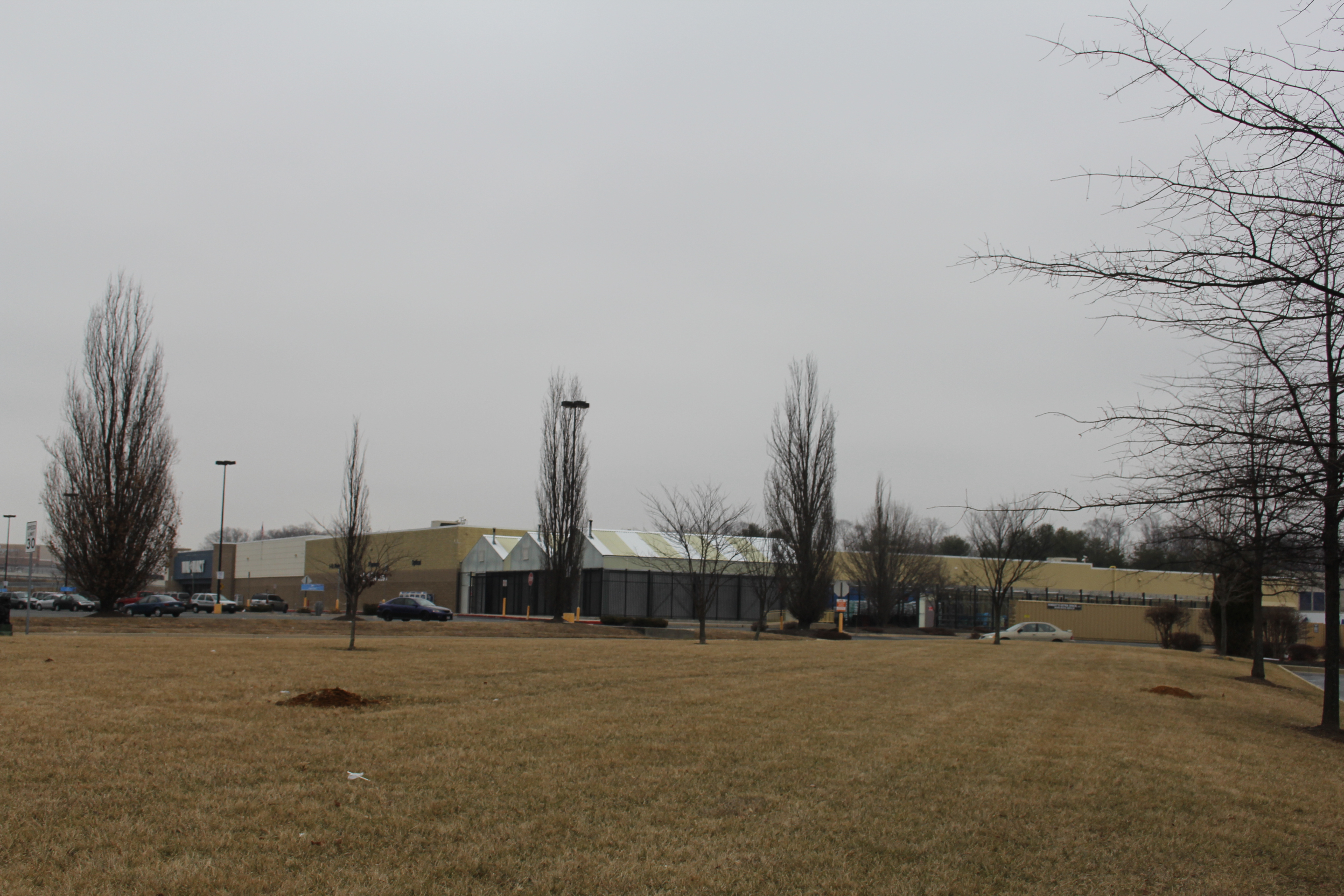
Walmart Abingdon MD

A Place to Sit

"With Auburn Hair And Tawny Eyes..."

View From The Seats

The Pain I Endure For You

Common Whitetail Skimmer Dragonfly

The View

LeConte's Sparrow

Loch Raven Reservoir, Maryland

US MD Baltimore County - Little Gunpowder Falls view from Franklinville Rd Bridge

Swirling Leaves

Early Morning Photographer [explore 09-17-14]
Late Winter Afternoon

Fall In The Air

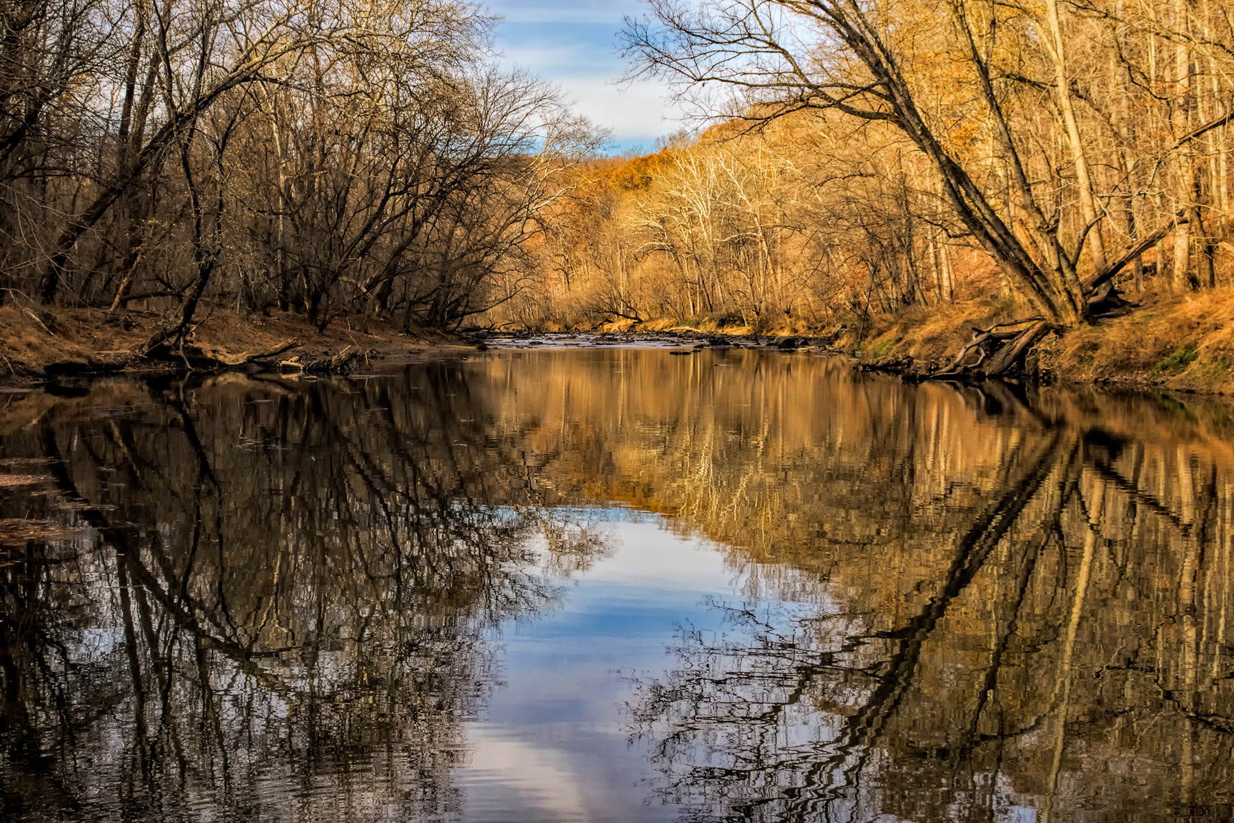
Fall On The Gunpowder River

RD-110-259 Field of Sunflowers on a Foggy Morning #Retcon [explore 09-17-14]

Bridge and Trees

Entrance to the Terrace

On the Way to the Sunflower Field

After The Storm

Sunflower Field

Final Sunflower Panoramic

Topiary and clouds

Ladew Buddha

Unhappy Little Clouds

Gunpowder Falls

EXPLORE ! THANK YOU!

Bovine Ladies

Dying Under the Rays of Earth's Yellow Sun [explore 09-24-14]

Sunflower Farm Sunset
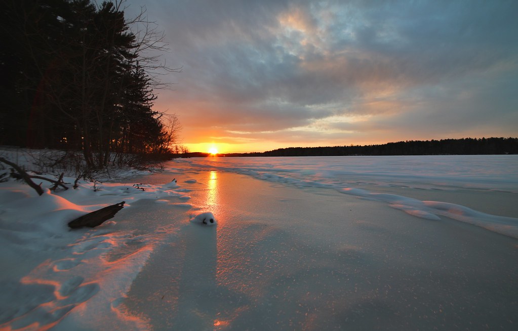
The Frozen Sunset
Topographic Map of Windswept Ct, Fallston, MD, USA
Find elevation by address:

Places near Windswept Ct, Fallston, MD, USA:
Baldwin Mill Rd, Fallston, MD, USA
2106 Round Hill Rd
Pleasantville Rd, Fallston, MD, USA
Roy Ter, Fallston, MD, USA
1923 Oakmont Rd
Fallston Recreation Complex
Arabian Way
Placid Dr, Baldwin, MD, USA
Larchmont Drive
2410 Burnham Dr
Manor Glen Rd, Baldwin, MD, USA
Baldwin
Fork Woods Rd, Baldwin, MD, USA
1505 Highvue Ct
2303 Carrs Mill Rd
Fallston
Hydes
Ashwood Rd, Fallston, MD, USA
Ansari Ln, Baldwin, MD, USA
5100 Hydes Rd
Recent Searches:
- Elevation of Corso Fratelli Cairoli, 35, Macerata MC, Italy
- Elevation of Tallevast Rd, Sarasota, FL, USA
- Elevation of 4th St E, Sonoma, CA, USA
- Elevation of Black Hollow Rd, Pennsdale, PA, USA
- Elevation of Oakland Ave, Williamsport, PA, USA
- Elevation of Pedrógão Grande, Portugal
- Elevation of Klee Dr, Martinsburg, WV, USA
- Elevation of Via Roma, Pieranica CR, Italy
- Elevation of Tavkvetili Mountain, Georgia
- Elevation of Hartfords Bluff Cir, Mt Pleasant, SC, USA