Elevation of Winchester, NH, USA
Location: United States > New Hampshire > Cheshire County >
Longitude: -72.383123
Latitude: 42.7734022
Elevation: 134m / 440feet
Barometric Pressure: 100KPa
Elevation Map:
Satellite Map:
Related Photos:
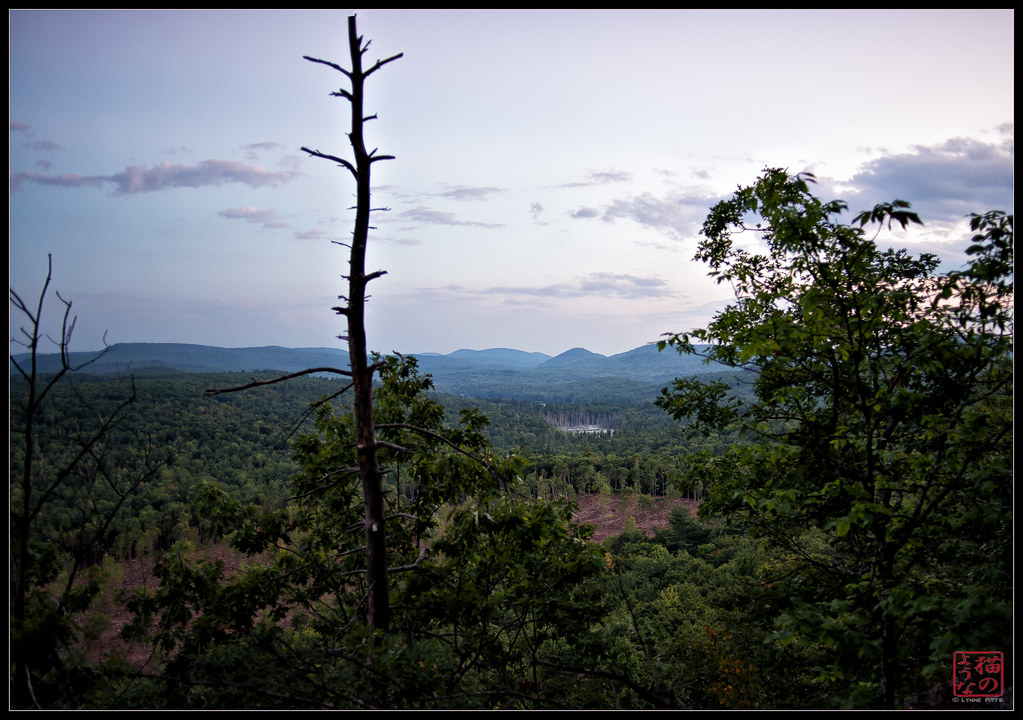
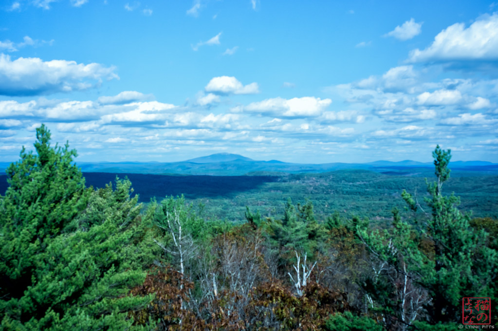
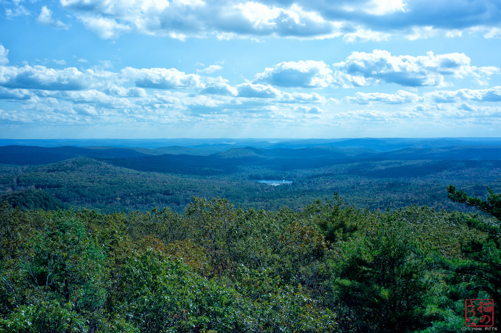
View from Mt Caesar

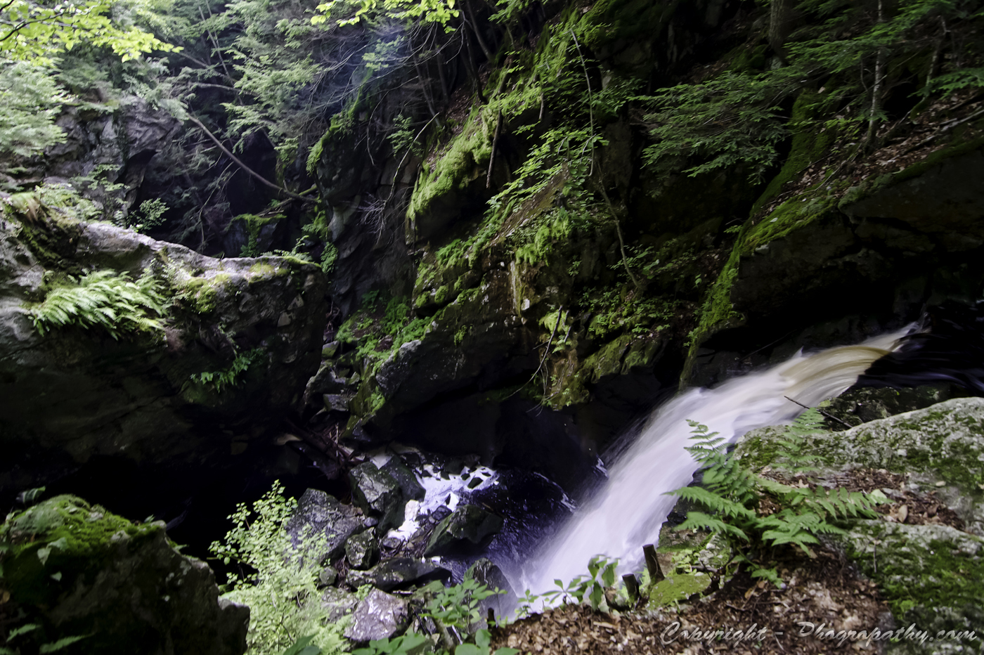
Royalston Falls
Royalston Falls Again

Royalston Falls a Third Time

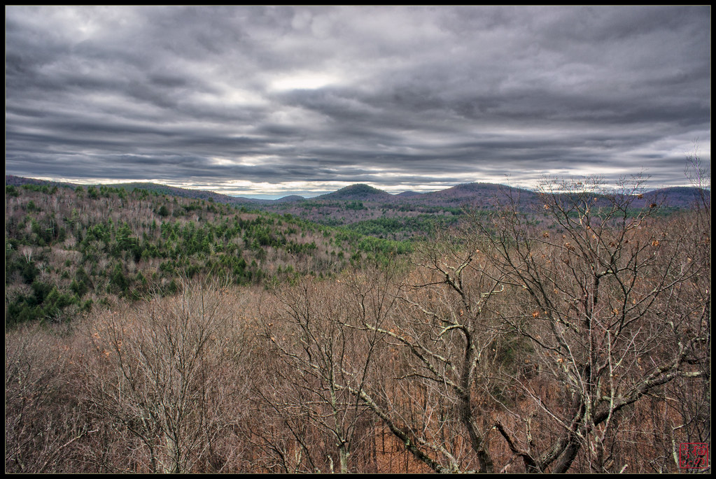
View for a Walk
View from the Ledge

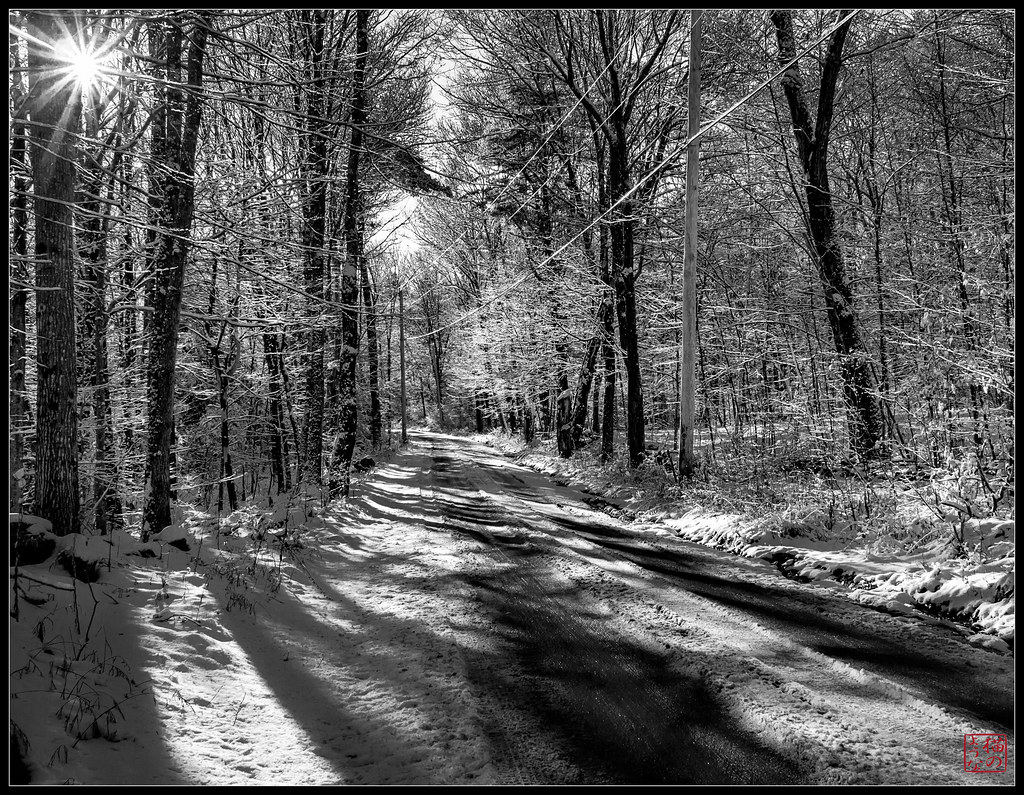
Old Troy Road

looking west

Madame Sherri's Castle
Royalston Falls Back View
Monadnock from Mt Grace
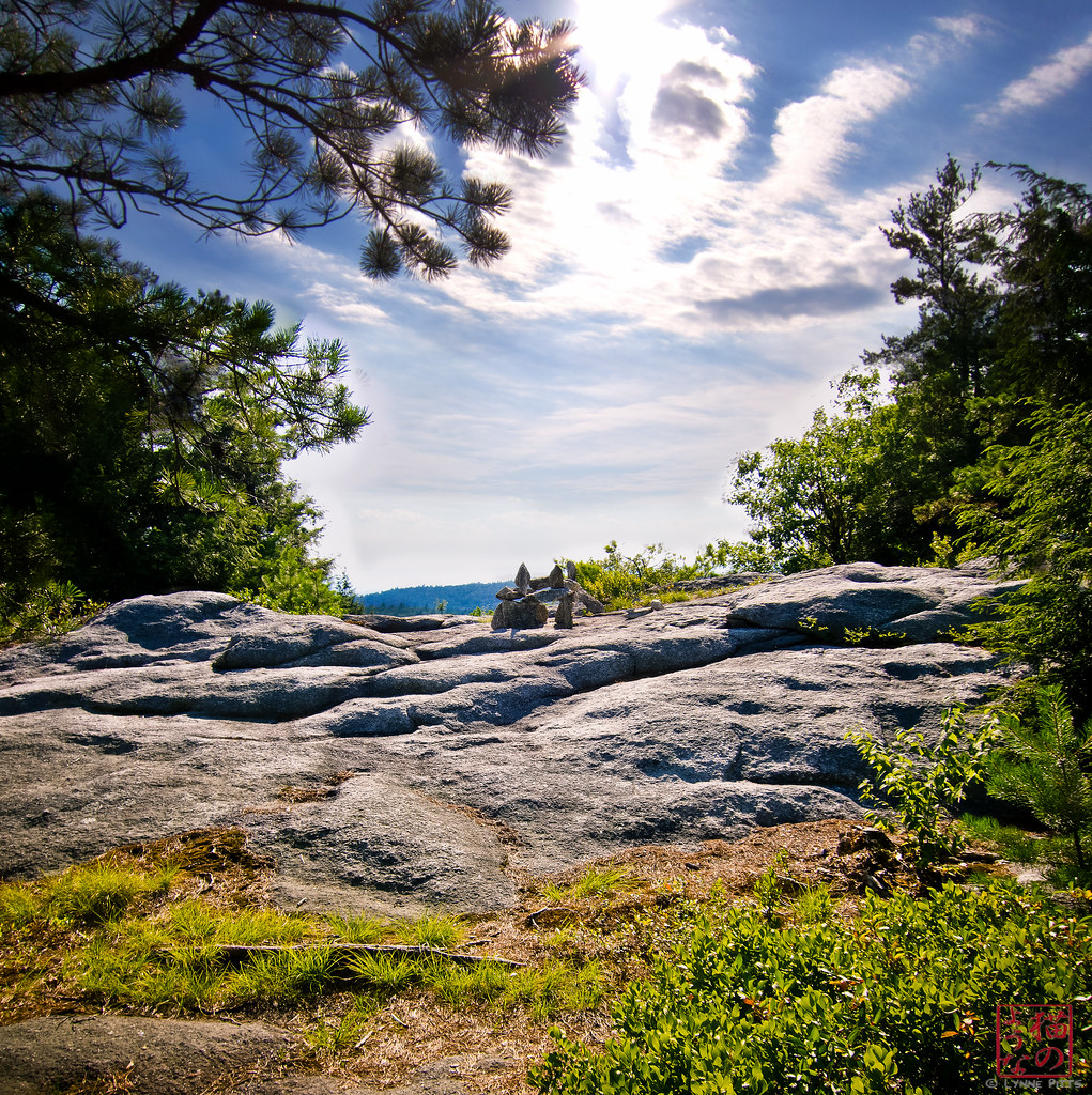
Pisgah Peak Cairn Vertorama
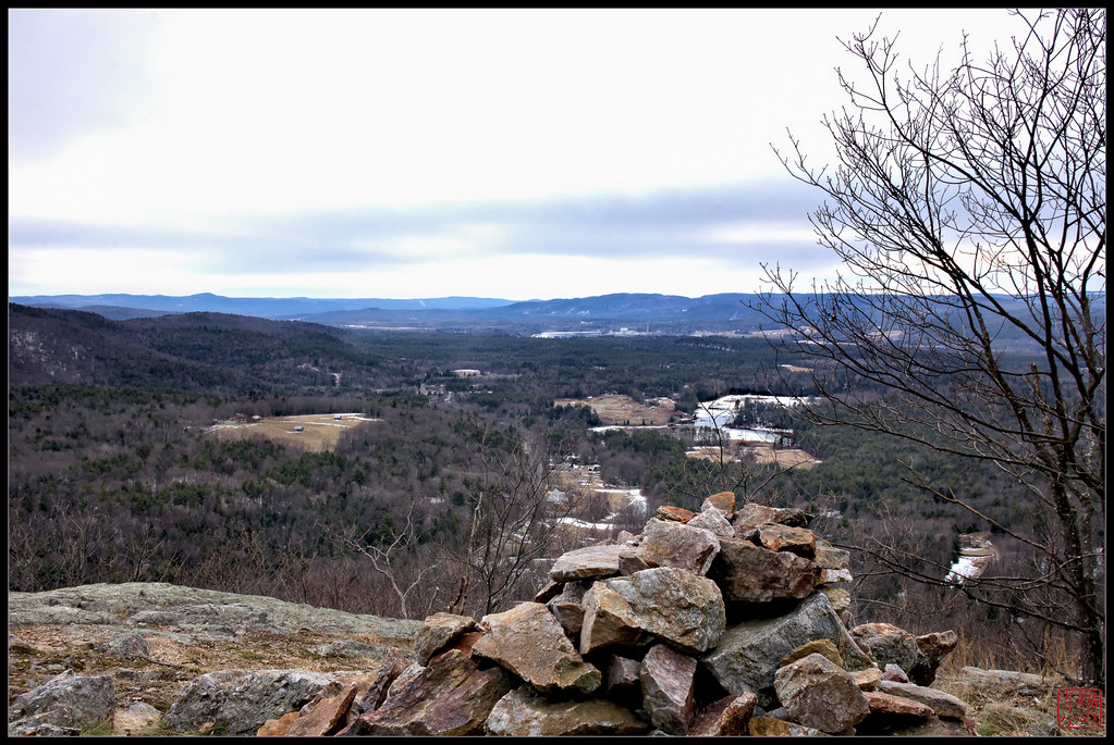
View from Moon Ledge

winning hand

Far above the Pioneer Valley
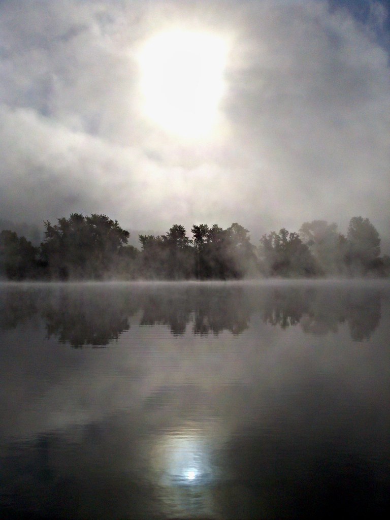
Foggy view on the river
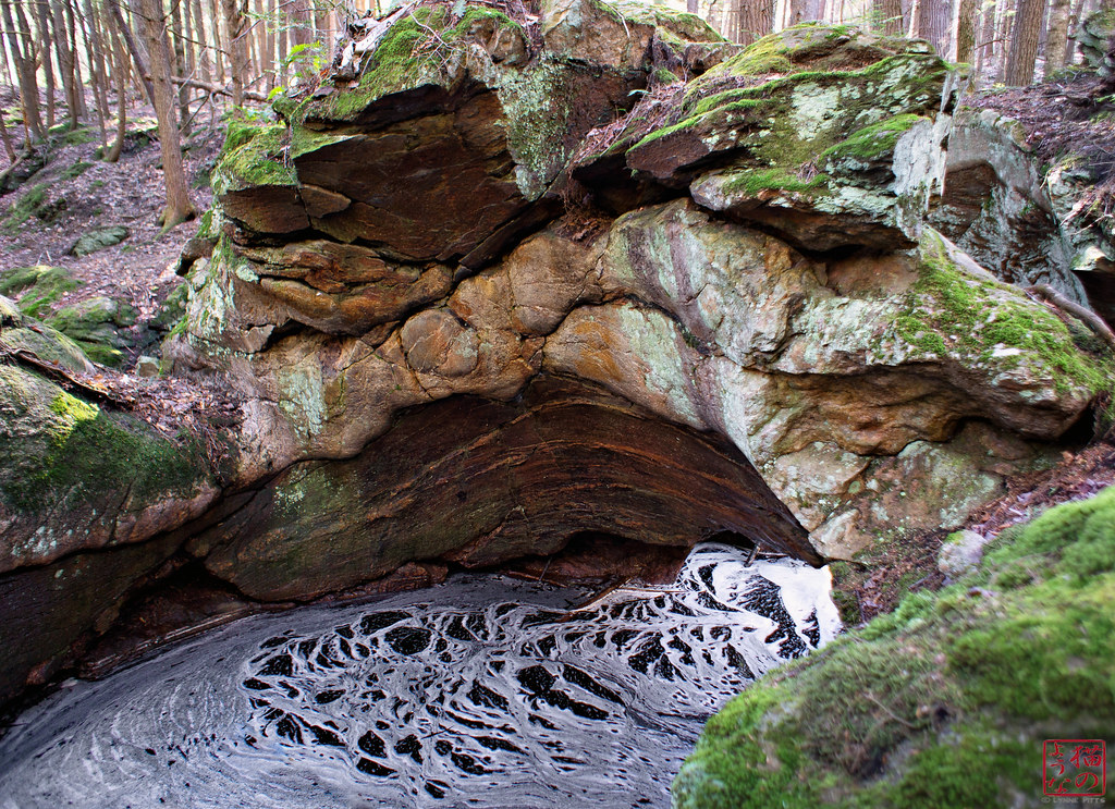
New View of the Ol' Arch
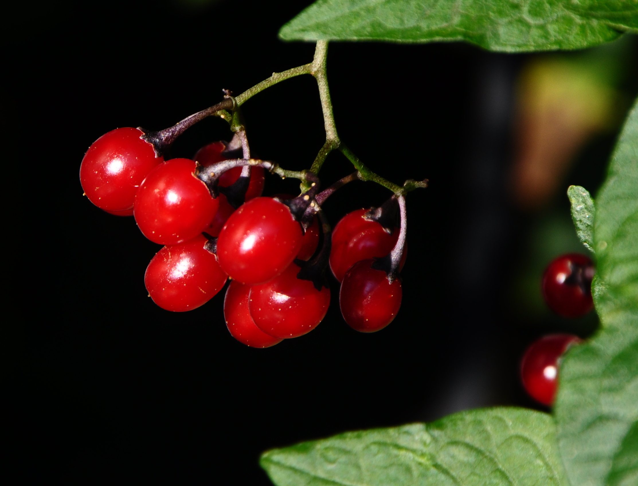
The Pin Cherry Cover Up
View from the Fire Tower
Chesterfield Sunset
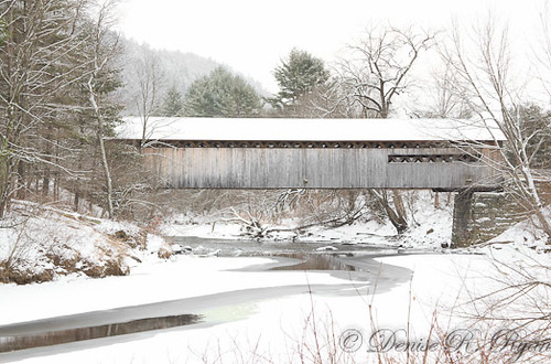
Coombs Covered Bridge_171
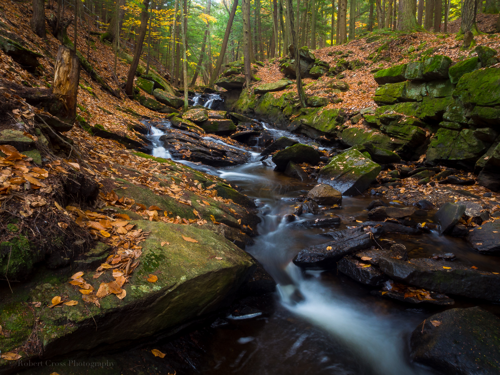
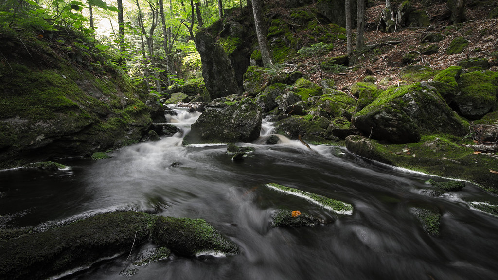
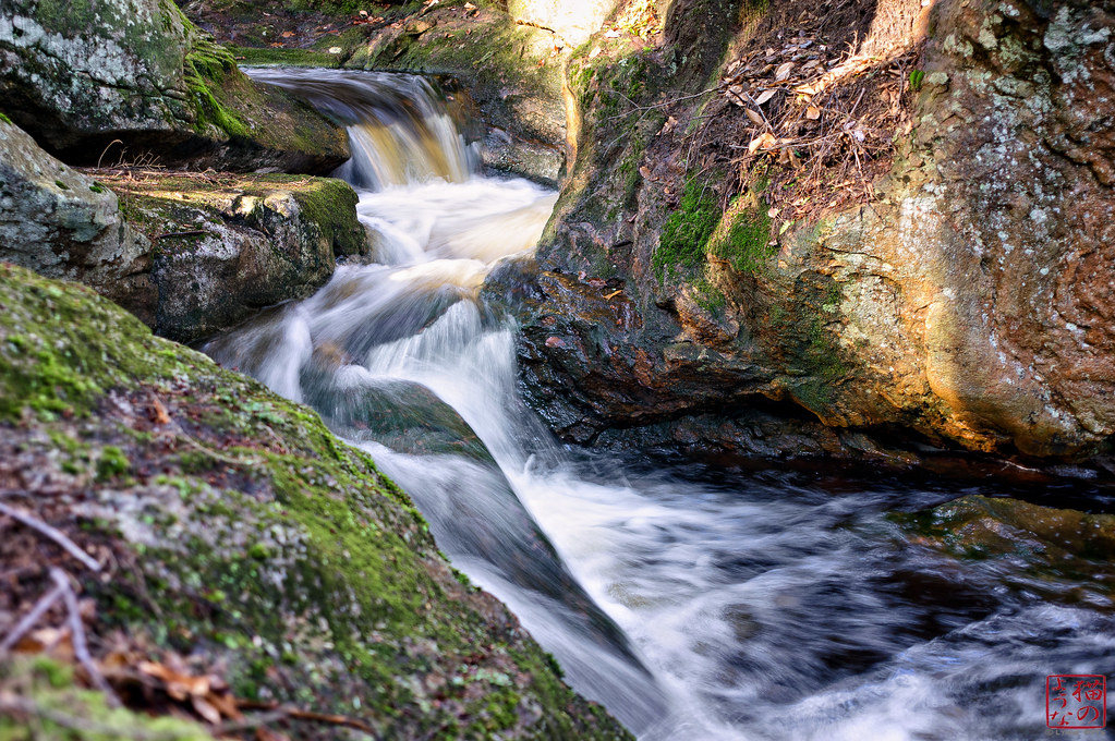
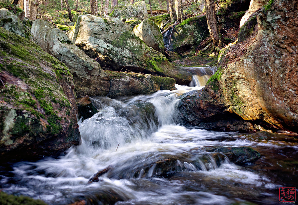
Falling Water in Southern New Hampshire
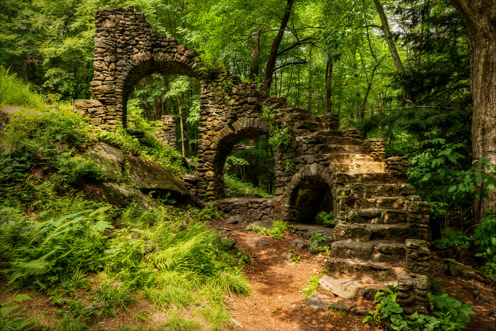
Madame Sherri's Castle Ruins

Broad Brook

@jlef423 on a train
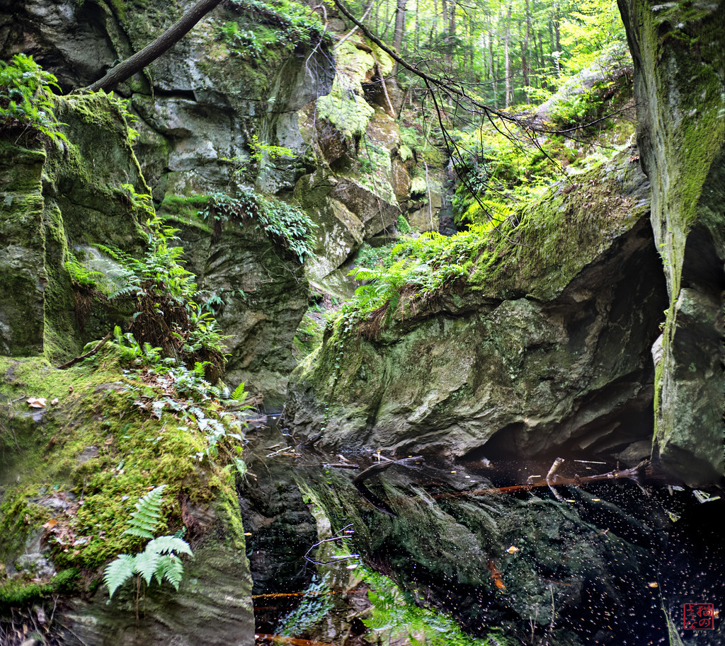
Jurassic Jumble
24 May 2014
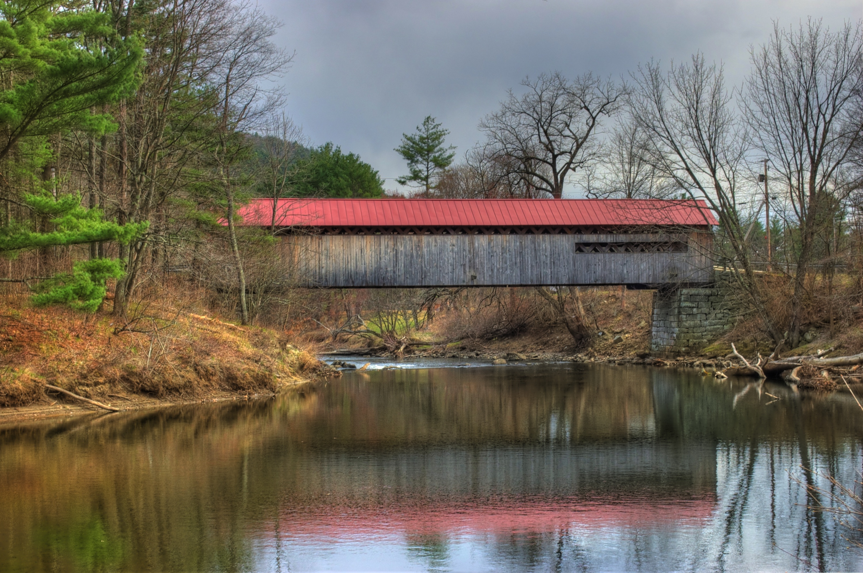
Coombs Covered Bridge
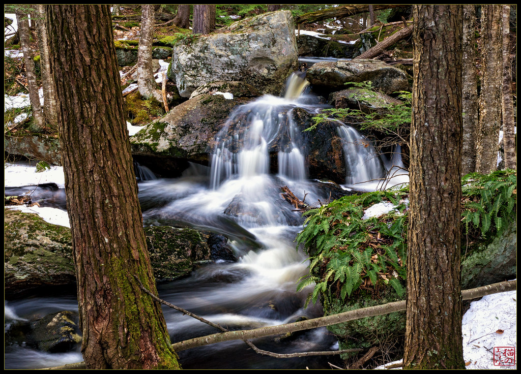
Little Falls Between the Trees
Late Sun
Running 1
Roaring Brook - Winchester NH
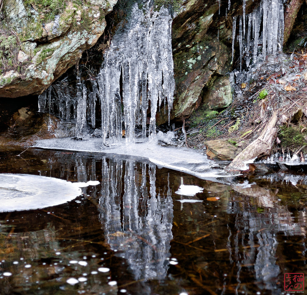
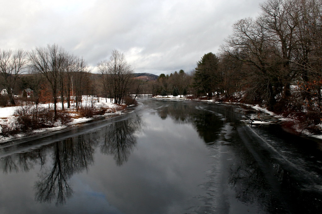
Icy Reflections
Branching In
All That Glitters
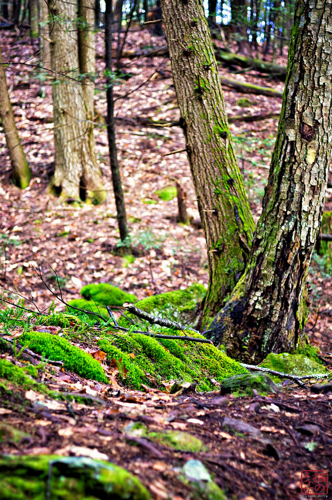
Green Moss
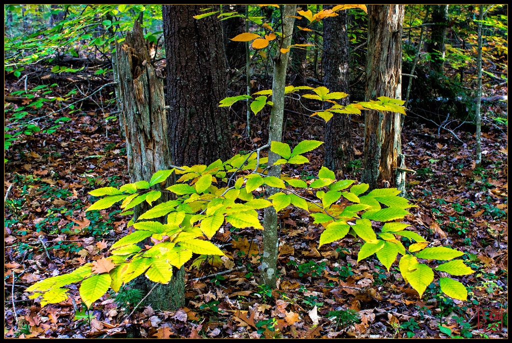
Spray of Beech
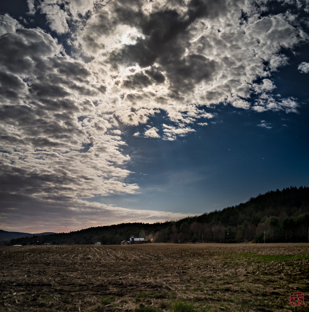
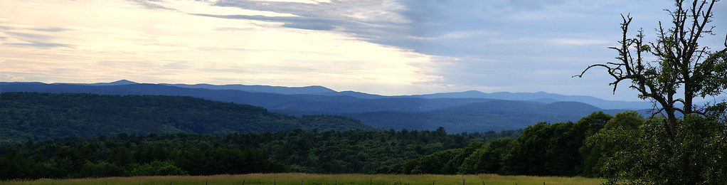
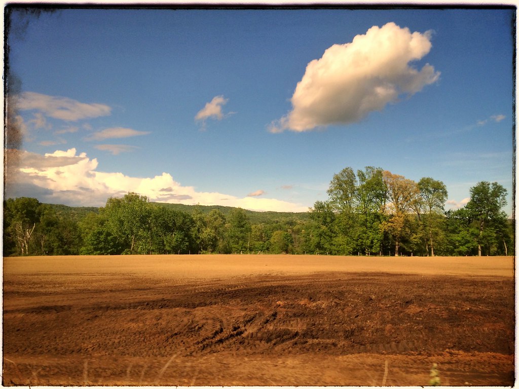
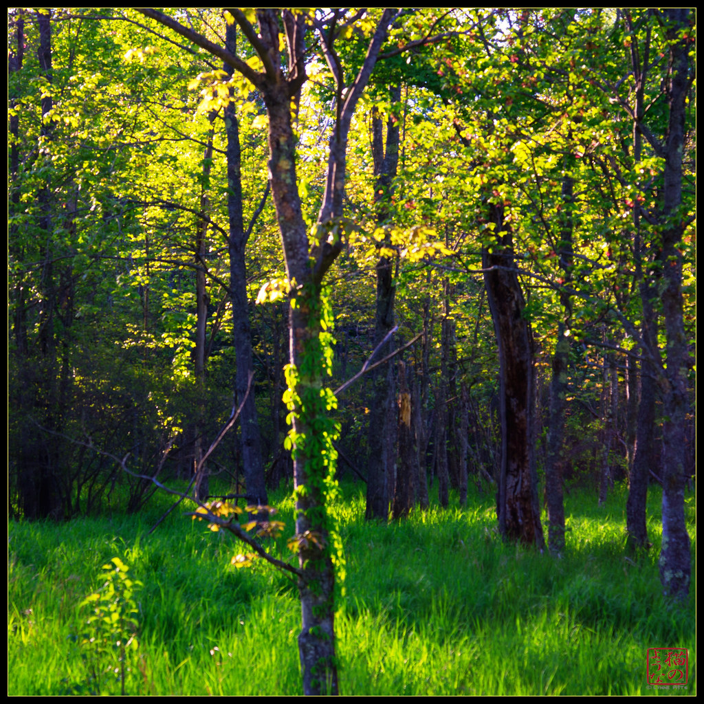
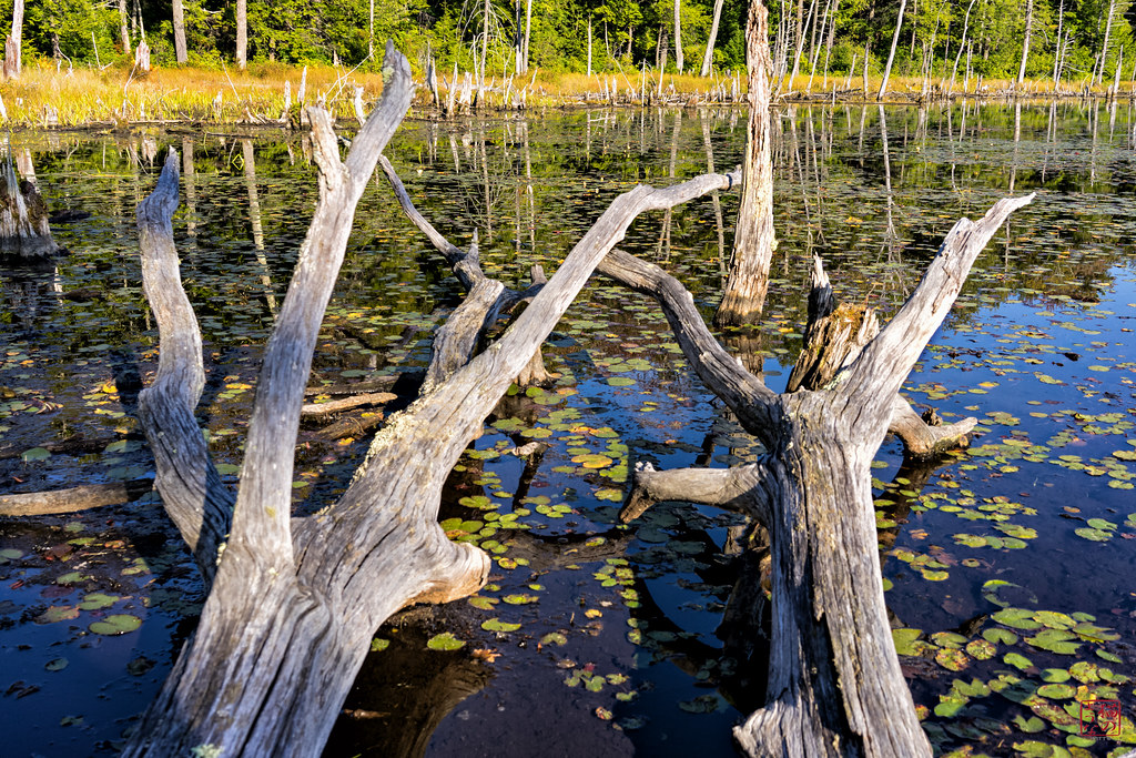
Sleeping Field
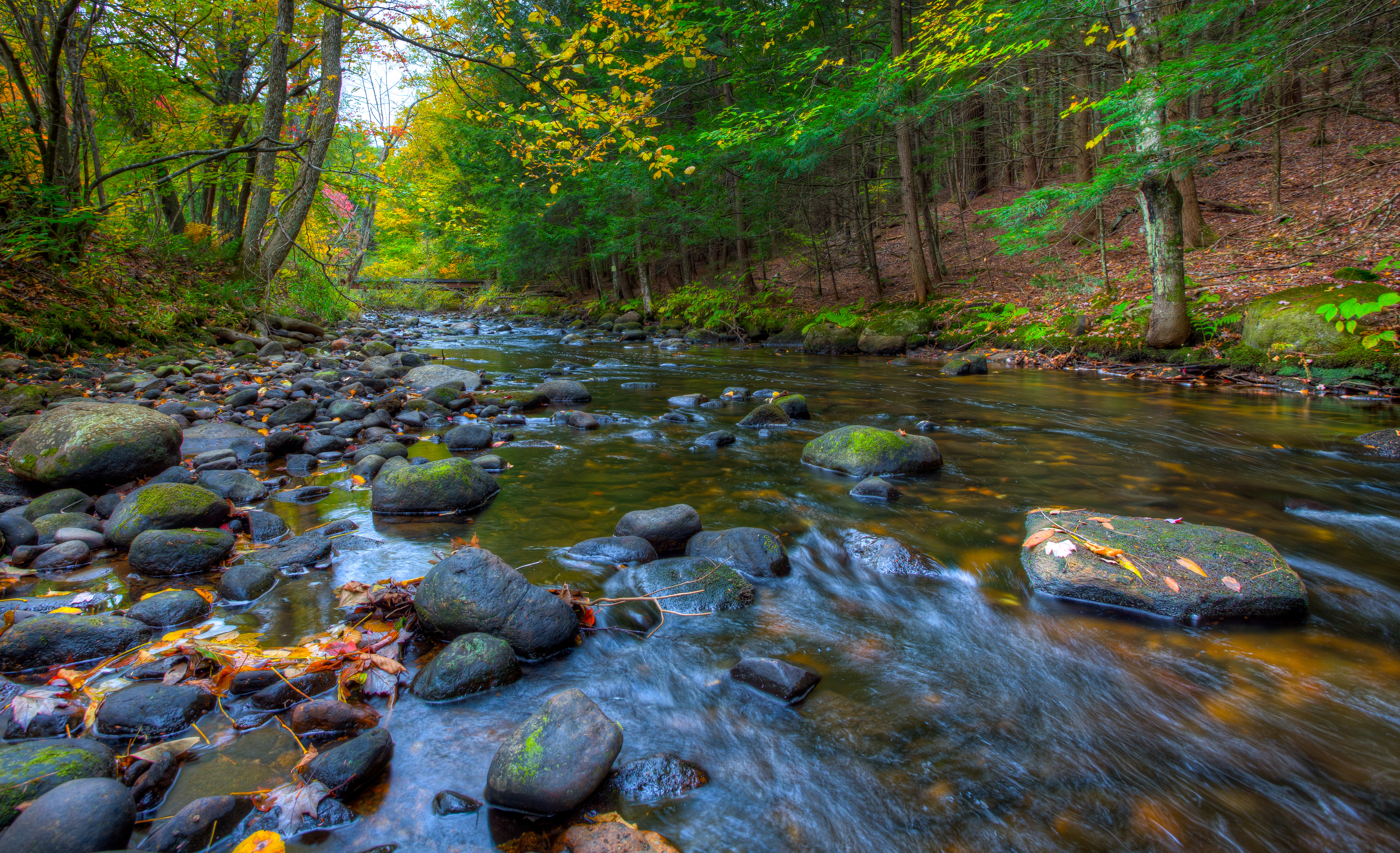
Along the Ashuelot River

Ice Water
Running 2
Topographic Map of Winchester, NH, USA
Find elevation by address:

Places in Winchester, NH, USA:
Places near Winchester, NH, USA:
Winchester
19 Hildreth St
11 Ashten Rue
133 Old Spofford Rd
7-1
50 Acorn Dr
46 Fullam Pond Rd
Burt Hill Road
494 Scotland Rd
Pisgah State Park
905 Old Westport Rd
967 Keene Rd
Winchester, NH, USA
23 Depot Rd
39 Payne Rd, Winchester, NH, USA
42 Winch Hill Rd
96 Westport Village Rd
Old Homestead Hwy, Richmond, NH, USA
99 W Shore Rd
3 Winchester Rd, Richmond, NH, USA
Recent Searches:
- Elevation of Corso Fratelli Cairoli, 35, Macerata MC, Italy
- Elevation of Tallevast Rd, Sarasota, FL, USA
- Elevation of 4th St E, Sonoma, CA, USA
- Elevation of Black Hollow Rd, Pennsdale, PA, USA
- Elevation of Oakland Ave, Williamsport, PA, USA
- Elevation of Pedrógão Grande, Portugal
- Elevation of Klee Dr, Martinsburg, WV, USA
- Elevation of Via Roma, Pieranica CR, Italy
- Elevation of Tavkvetili Mountain, Georgia
- Elevation of Hartfords Bluff Cir, Mt Pleasant, SC, USA