Elevation of Willow Ct N, Bellingham, WA, USA
Location: United States > Washington > Whatcom County > Bellingham > Edgemoor >
Longitude: -122.50182
Latitude: 48.7108614
Elevation: 36m / 118feet
Barometric Pressure: 101KPa
Elevation Map:
Satellite Map:
Related Photos:

Wildcat Cove in Washington State caught in one of those rare beautiful sunsets . . . . . #travelwashington #explorewashington #wildcatcove #chuckanutdrive #larrabeestatepark #sunset #sunset_ig #sunsetporn #pnw #pnwisbest #pnwonderland #pnwisbeautiful #jj_
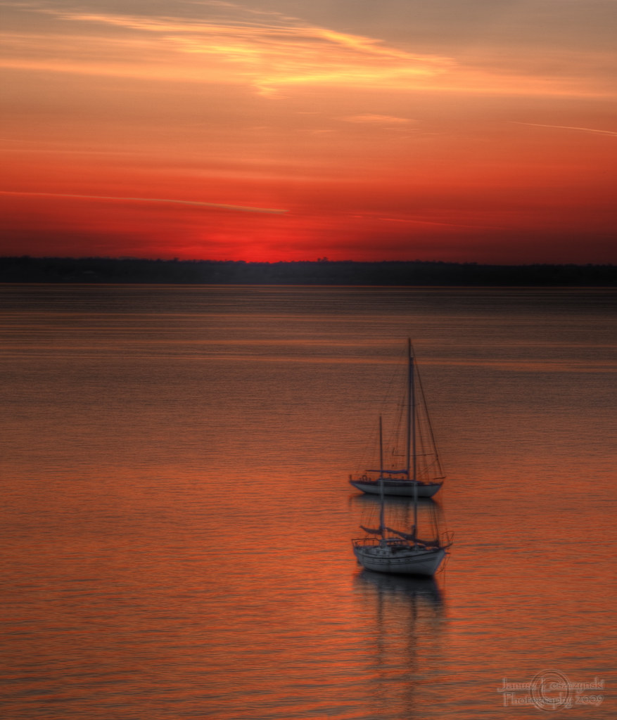
Sunset Silhouette by A
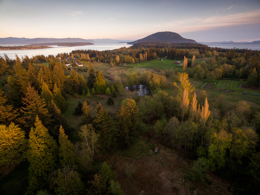
Lummi Island from Above
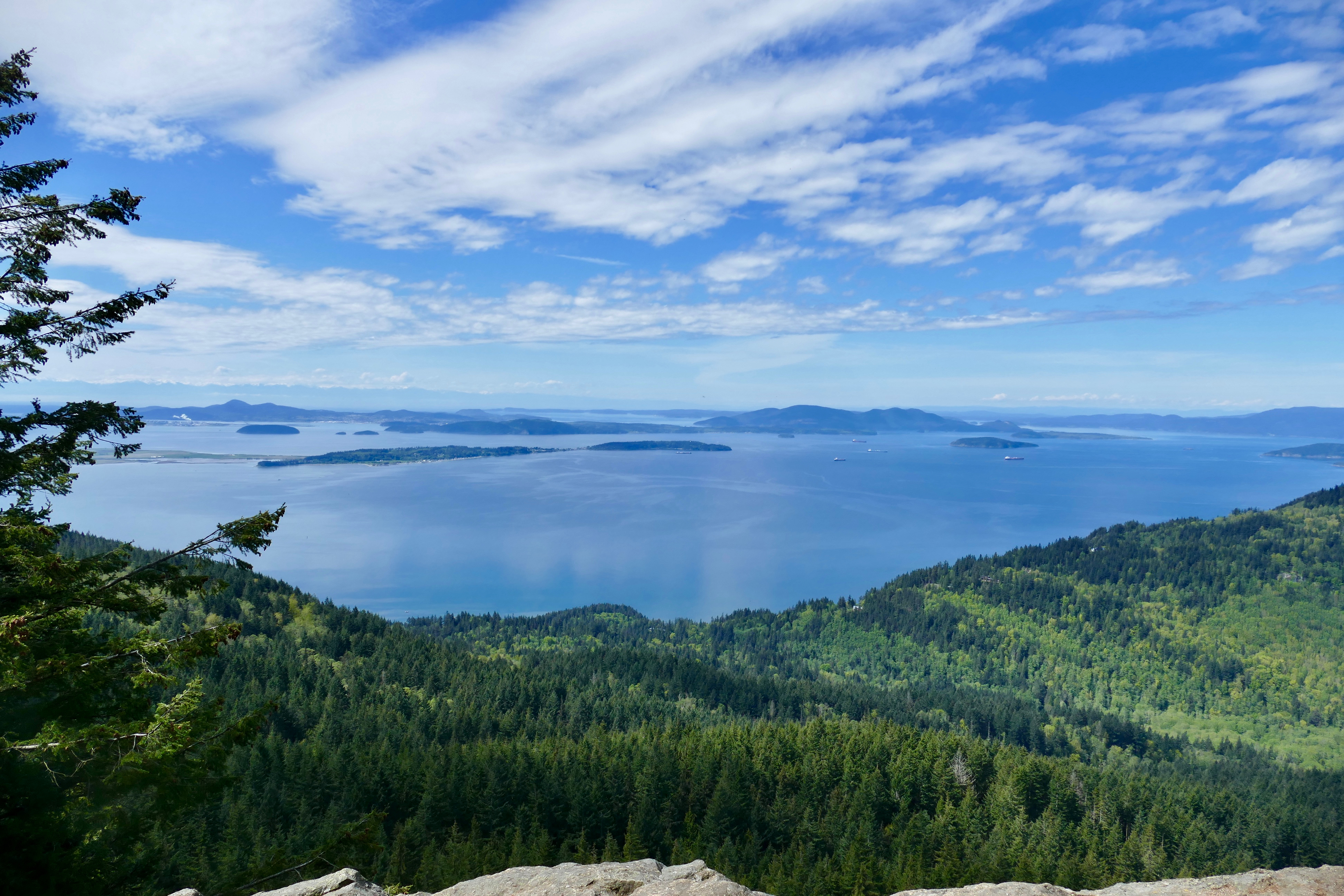
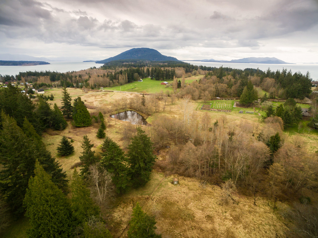
Territorial Views

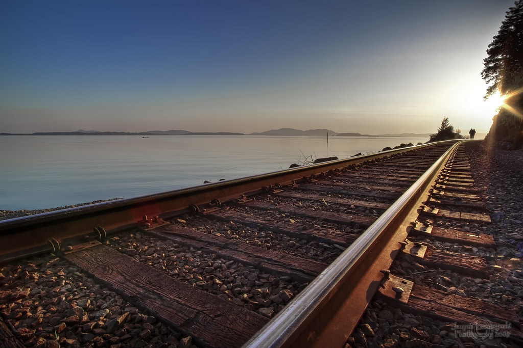
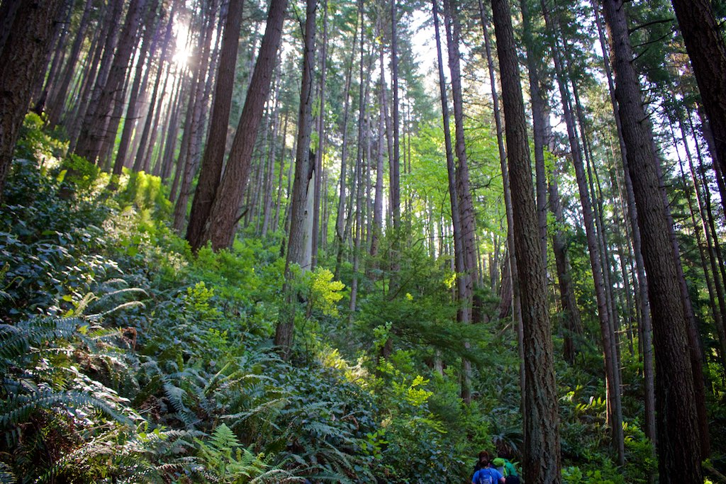
The Long Walk

Red River Red Barn
Sehome Arboretum Tunnel

Karrin & Moxxie on Blanchard Mountain

Flowering Grass, Samish Overlook, Washington
End to a perfect day
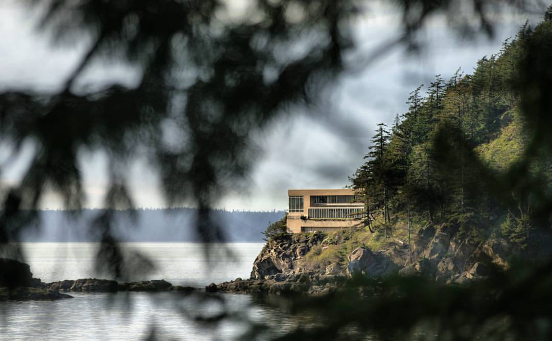
Would you live here? They certainly have some sweet views! Located just north of Larrabee State Park, I liked the way I could use the trees to frame the house. * Captured with the #Sony #A7RII and #Canon #70200 lens
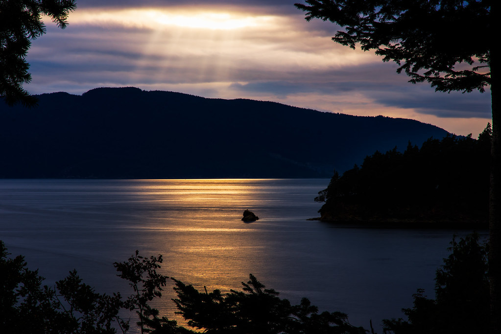
A Light From Above

Blue Hour

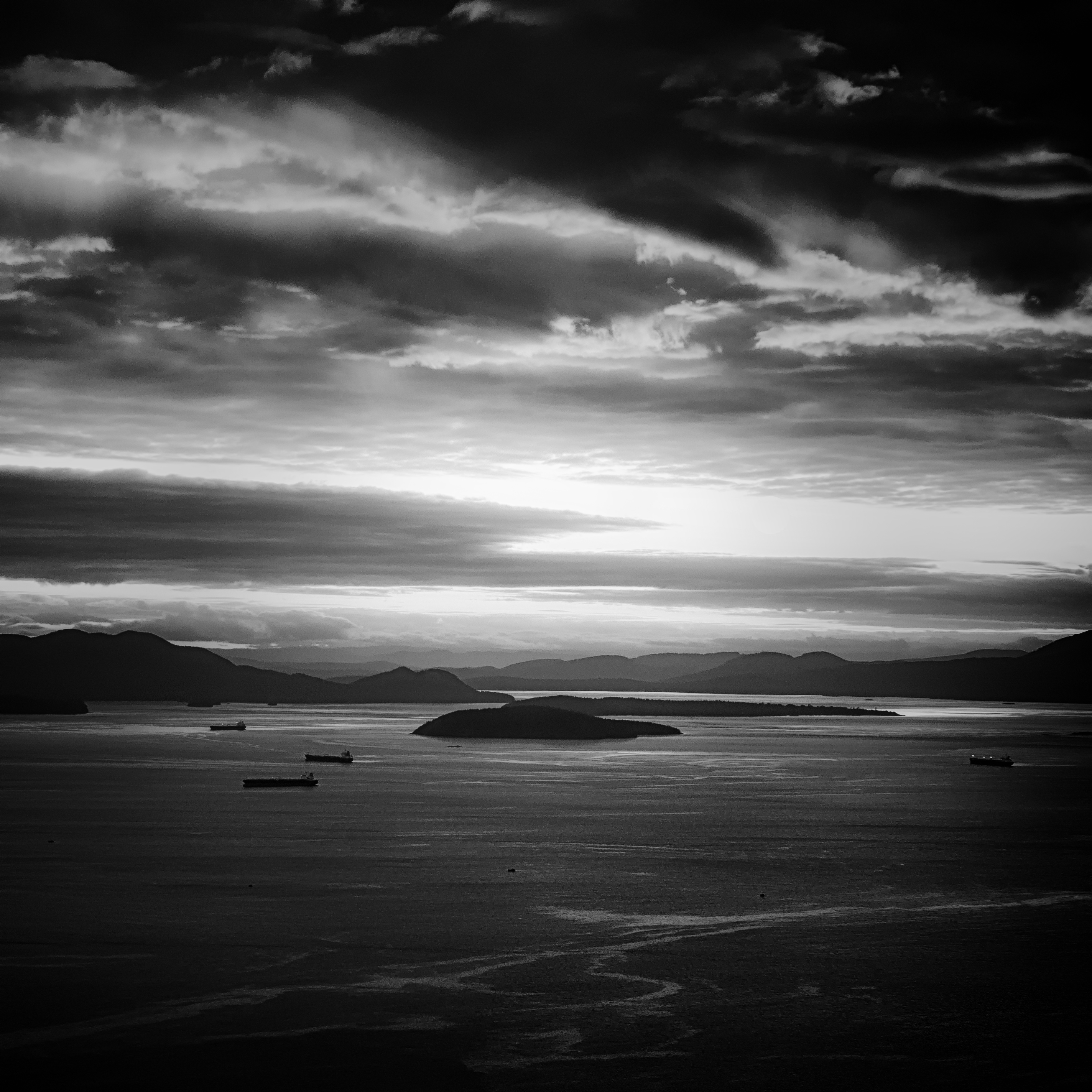
Clouds Over Bellingham Bay, Washington, Spring 2017

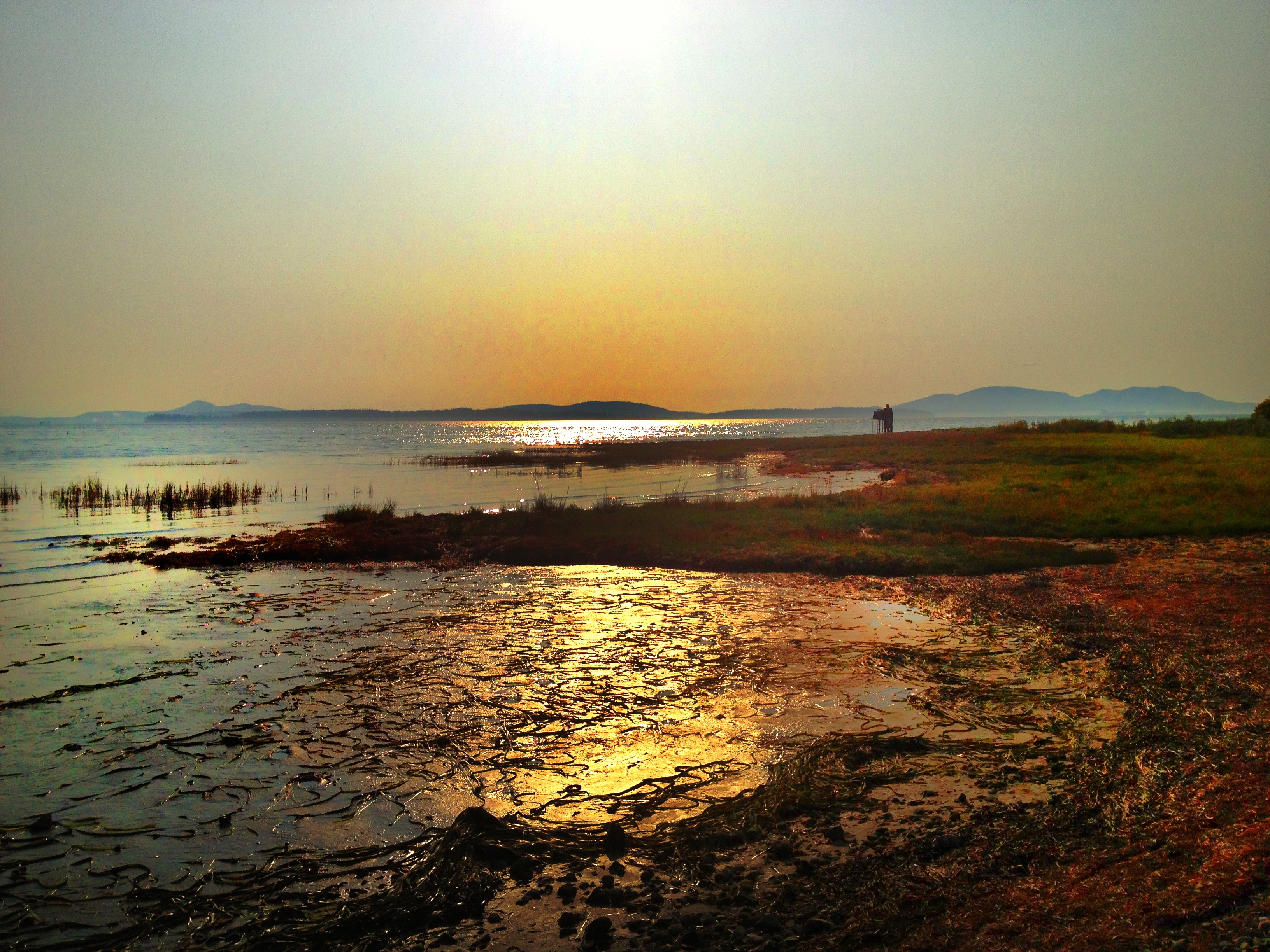
Bellingham Bay

You can wait till morning comes
View from Oyster Dome
Blanchard View
Us and Them

Karrin & Moxxie on Blanchard Mountain
Lummi view to the SE
Whatcom Creek Log

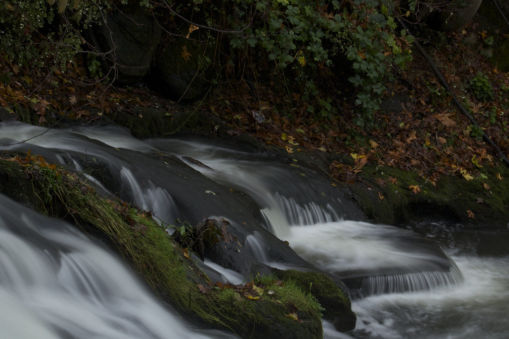
Whatcom Falls Jumping Rocks
My Lawn
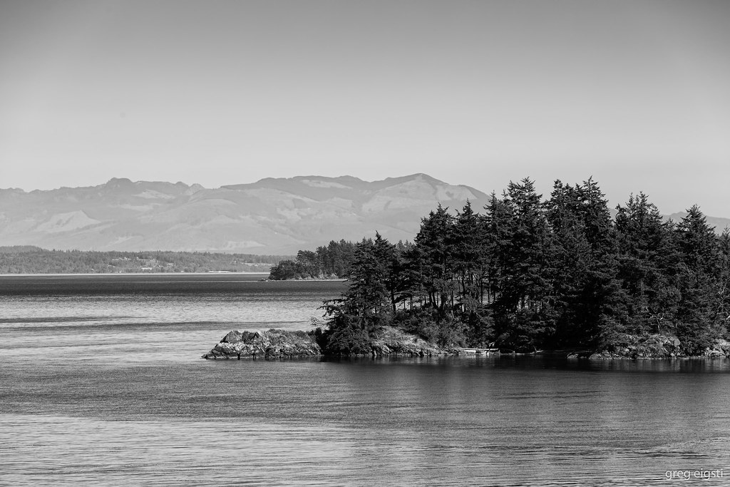
Lummi Island
"I Can See Your House From Here"

A Place to Spawn

Spring Sunset

Lake Padden

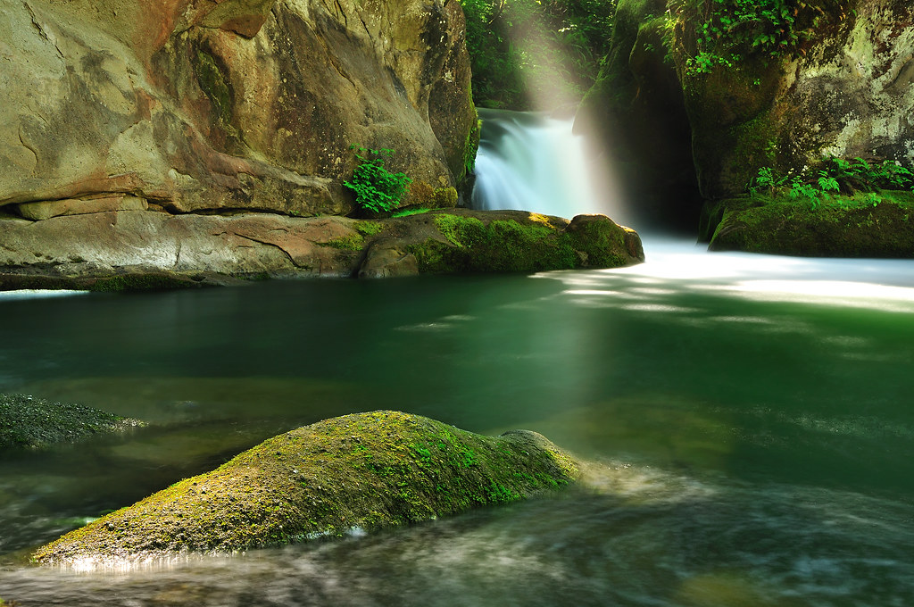
Oyster Creek, Washington State

Between Storms

Autumn Skies
Evening Sunrays
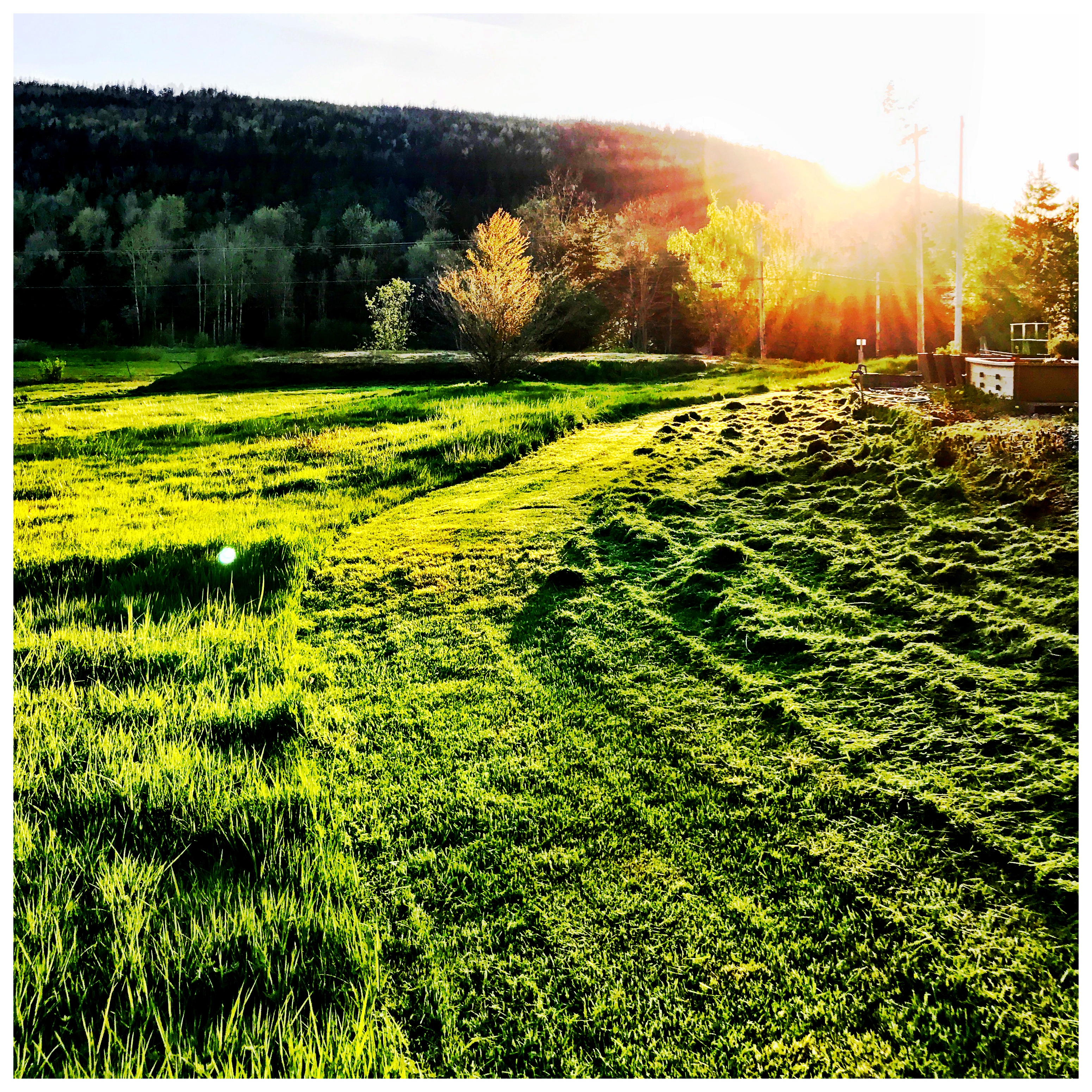
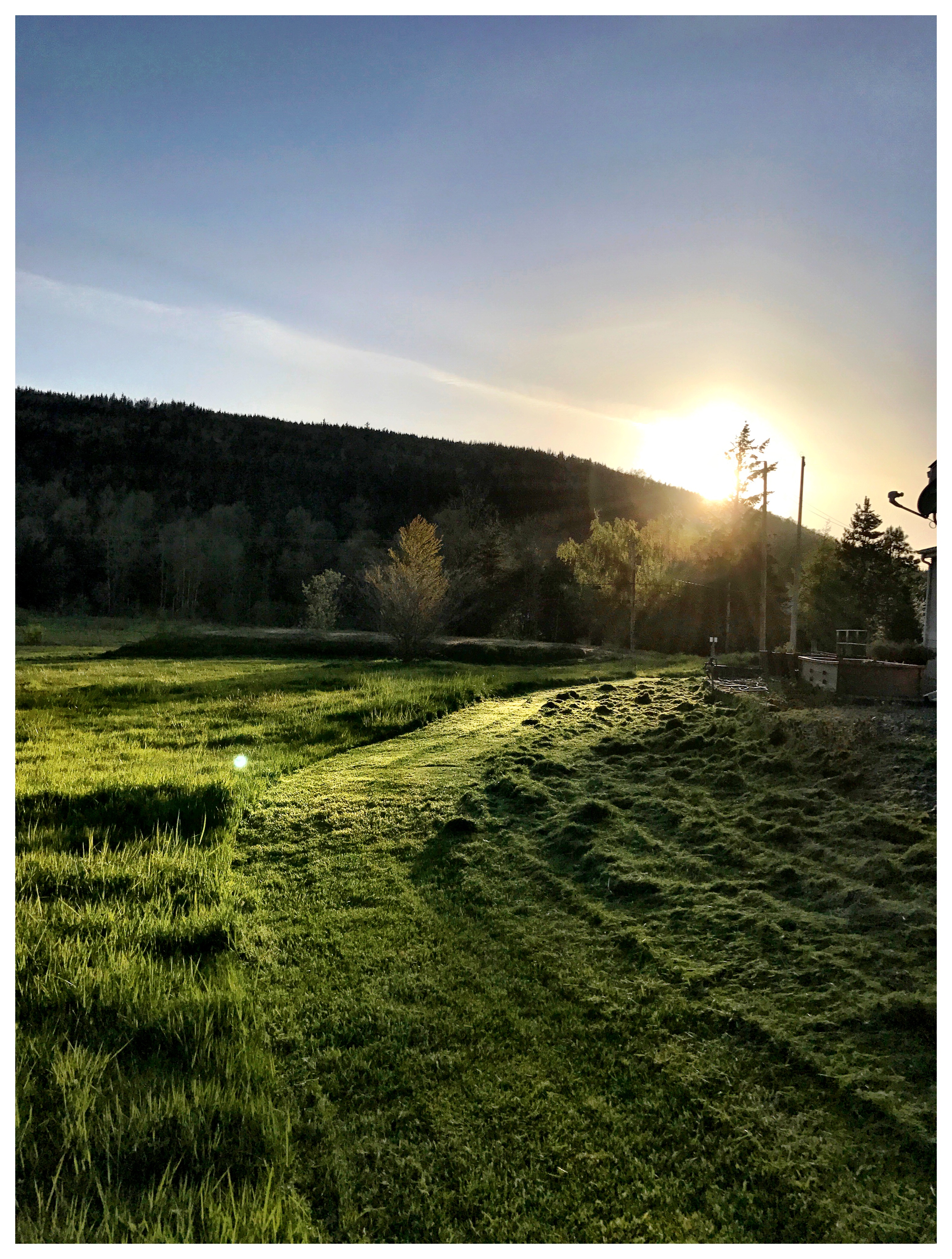
Sundown Mowing
Sunset in the N W
Xwotquem Swimming Hole
_MG_8992 Oyster Dome trail

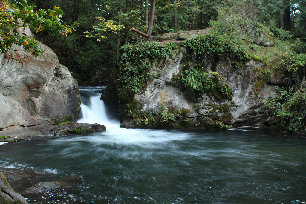
Whatcom Falls
Topographic Map of Willow Ct N, Bellingham, WA, USA
Find elevation by address:

Places near Willow Ct N, Bellingham, WA, USA:
103 Bayside Rd
201 Sea Pines Ln
114 Bayside Pl
1312 Larrabee Ave
815 Donovan Ave
322 Sea Pines Rd
1904 18th St
Edgemoor
Fairhaven
1809 Wilson Ave
505 Bayside Rd
1016 15th St
Fairhaven Station
2001 Larrabee Ave
Knox Avenue
21st St, Bellingham, WA, USA
906 12th St
Douglas Avenue
1475 Chuckanut Dr
2015 24th St
Recent Searches:
- Elevation of Corso Fratelli Cairoli, 35, Macerata MC, Italy
- Elevation of Tallevast Rd, Sarasota, FL, USA
- Elevation of 4th St E, Sonoma, CA, USA
- Elevation of Black Hollow Rd, Pennsdale, PA, USA
- Elevation of Oakland Ave, Williamsport, PA, USA
- Elevation of Pedrógão Grande, Portugal
- Elevation of Klee Dr, Martinsburg, WV, USA
- Elevation of Via Roma, Pieranica CR, Italy
- Elevation of Tavkvetili Mountain, Georgia
- Elevation of Hartfords Bluff Cir, Mt Pleasant, SC, USA